Log in
All resources
Create a design
368 Free Images of Dutch Language Maps
eran laor cartographic collection
latin-language maps
bibliothèque nationale de france
baptista van doetecum
maps of the barents sea
ships on maps
old maps of the white sea
northern sea route
1590s maps of norway
whales on maps
third voyage of willem barentsz
16th-century maps of the arctic
third voyage of willem barentsz
history of dutch sea fisheries
third voyage of willem barentsz
16th-century maps of the arctic
third voyage of willem barentsz
16th-century maps of the arctic
the voyage of the vega round asia and europe
third voyage of willem barentsz
third voyage of willem barentsz
history of dutch sea fisheries
itinerario (jan huygen van linschoten)
latin-language maps
overwintering on nova zembla by willem barentsz, 1596-1597
maps in the rijksmuseum amsterdam
works after map of amsterdam, 1544
ships on maps
overwintering on nova zembla by willem barentsz, 1596-1597
maps in the rijksmuseum amsterdam
west-indische compagnie
image restoration
old maps of spitsbergen
old maps of the arctic
french-language maps
dutch-language maps
old maps of greece
old maps of crete
dutch-language maps
atlas van loon
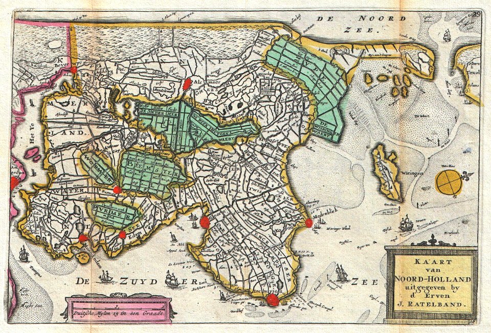
johannes ratelband
1747 maps
maps by jacques-nicolas bellin
table bay
johannes ratelband
jan goeree
old maps of gibraltar
covens en mortier
old maps of north holland
johannes ratelband
dutch-language maps
johannes ratelband
17th-century engravings
frans post
dutch-language maps
johannes ratelband
maps in the library of congress
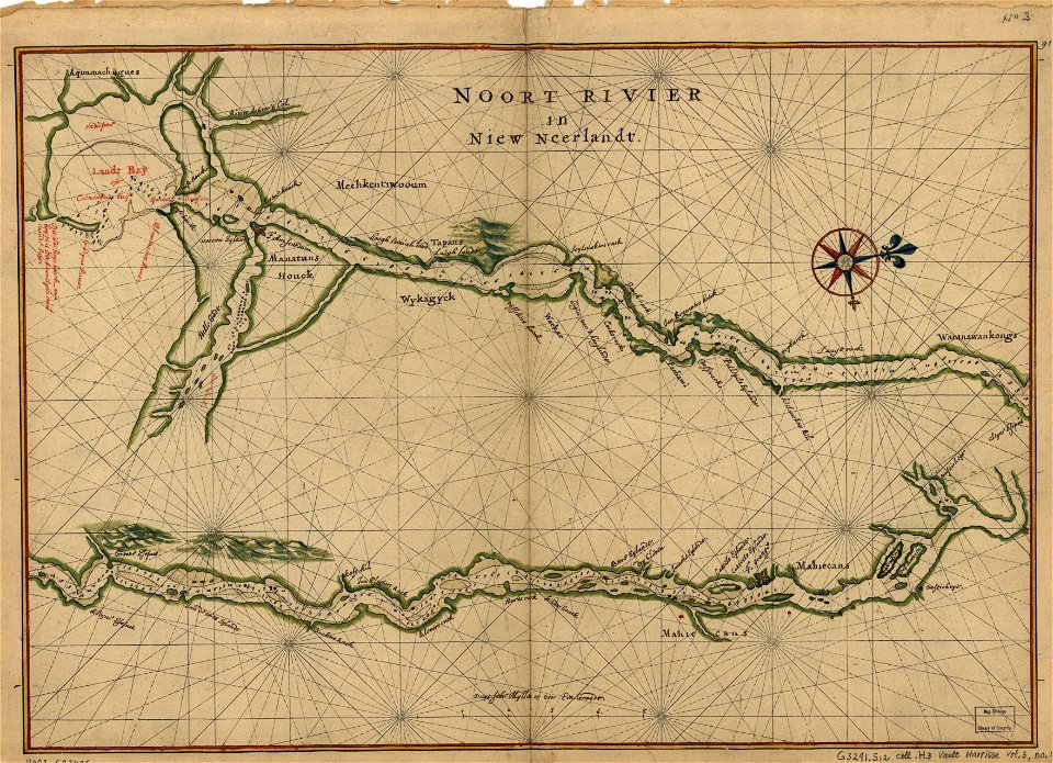
maps of the hudson
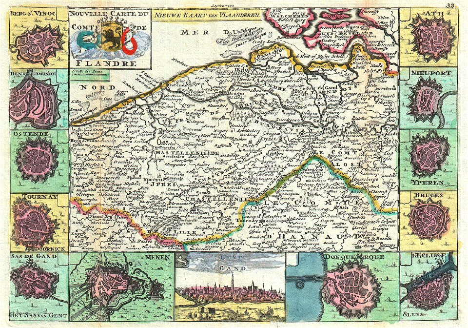
maps of the county of flanders
johannes ratelband
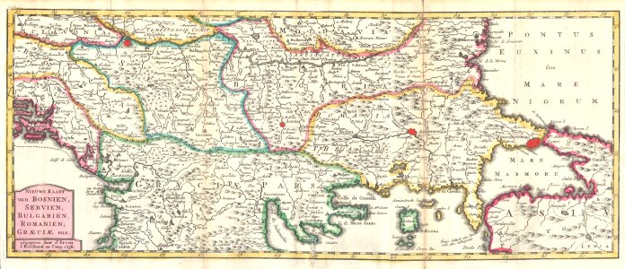
kingdom of serbia (1718–1739)
maps of the sea of marmara
old maps of south africa
boer
maps of the sea of marmara
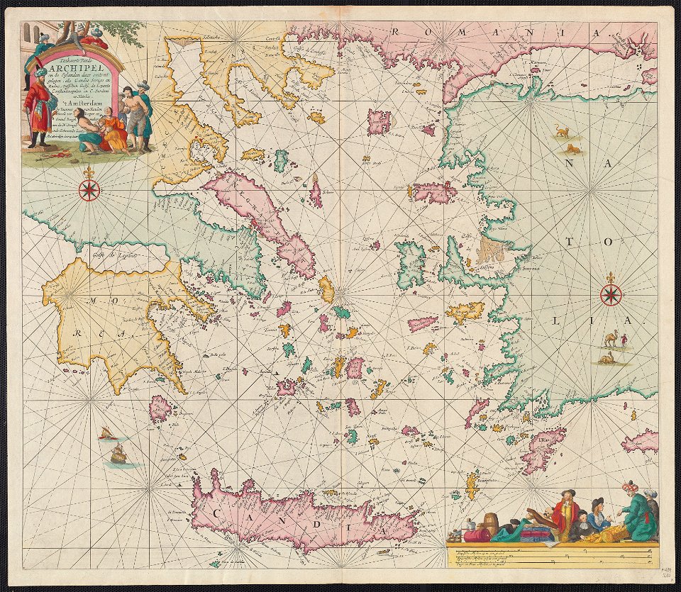
old maps of the aegean sea
itinerario (jan huygen van linschoten)
latin-language maps
pages with maps
cc-zero
self-published work
pages with maps
19th-century maps of the malay archipelago
19th-century maps of southeast asia
facade
city
self-published work
schinnen
itinerario (jan huygen van linschoten)
latin-language maps
maps by nicolaes visscher i
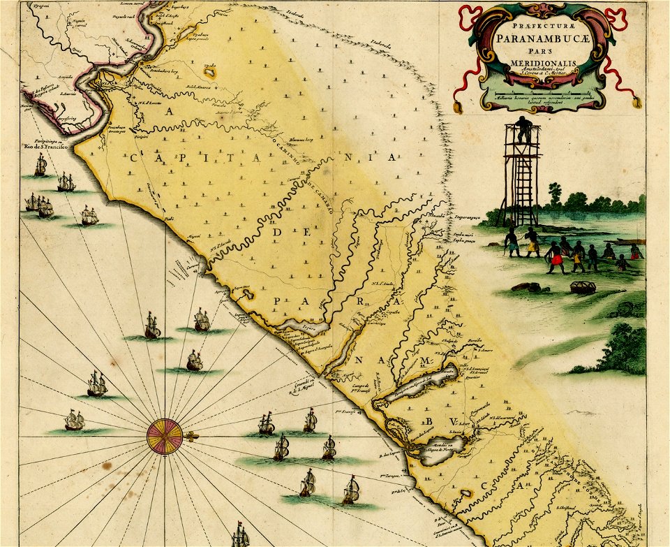
1630s maps of pernambuco
17th-century maps of sri lanka
jaffna kingdom
old maps of finnmark
old maps of troms
1640s maps of the world
1660s maps of the world
eran laor cartographic collection
cornelis van baarsel
eran laor cartographic collection
carolus allard
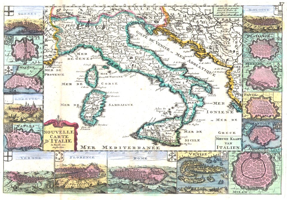
16th-century maps of the adriatic sea
willem barentsz
maps by jacques-nicolas bellin
maps by jakob van der schley
maps by willem and johannes blaeu
dutch-language maps
17th-century maps of the baltic sea
17th-century maps of scandinavia
cartouches by willem and johannes blaeu
dutch-language maps
17th-century maps of the eastern mediterranean
1690s maps of turkey
itinerario (jan huygen van linschoten)
renaissance
eran laor cartographic collection
pierre mortier
eran laor cartographic collection
romeyn de hooghe
maps of raja ampat regency
dutch-language maps
maps by nicolaes visscher i
1630s maps of pernambuco
daniel de la feuille
1747 maps
old maps of the province of a coruña
lucas janszoon waghenaer
eran laor cartographic collection
romeyn de hooghe
eran laor cartographic collection
romeyn de hooghe
palace of nations
maps of geneva
maps by willem and johannes blaeu
1610s maps of the americas
maps by nicolaes visscher i
old maps of assyria
eran laor cartographic collection
jacob peeters
1610s maps of the netherlands
old maps of friesland
eran laor cartographic collection
cornelis de bruyn
old maps of the south china sea
1680 maps of asia
eran laor cartographic collection
cornelis de bruyn
eran laor cartographic collection
afbeeldinge der stad jerusalem
eran laor cartographic collection
willem albert bachiene
maps by nicolas sanson
jan van somer
maps by pieter van der keere
1600s maps of norway
eran laor cartographic collection
cornelis de bruyn
eran laor cartographic collection
romeyn de hooghe
eran laor cartographic collection
cornelis de bruyn
eran laor cartographic collection
cornelis de bruyn
eran laor cartographic collection
cornelis de bruyn
maps by pieter van der keere
maps with cartouches
eran laor cartographic collection
romeyn de hooghe
eran laor cartographic collection
arnold colom
eran laor cartographic collection
willem albert bachiene
maps by jean-baptiste bourguignon d'anville
maps by isaak tirion
eran laor cartographic collection
isaak tirion
eran laor cartographic collection
willem blaeu
eran laor cartographic collection
cornelis de bruyn
eran laor cartographic collection
willem blaeu
eran laor cartographic collection
willem blaeu
maps by isaak tirion
1750 maps of africa
bibliothèque nationale de france
maps of goa by linschoten
eran laor cartographic collection
willem blaeu
eran laor cartographic collection
jan goeree
eran laor cartographic collection
isaak tirion
eran laor cartographic collection
willem albert bachiene
eran laor cartographic collection
willem albert bachiene
17th-century maps of the indian ocean
maps by willem and johannes blaeu
maps by willem and johannes blaeu
17th-century maps of sumatra
eran laor cartographic collection
isaak tirion
maps by pieter van der keere
ships on maps
16th-century maps of lisbon
1580s maps of portugal
a map of the british empire in america with the french and spanish settlements adjacent thereto
1730s maps of the caribbean
maps by willem and johannes blaeu
1640s maps
17th-century maps of the indian ocean
maps by willem and johannes blaeu
maps of rotterdam by braun & hogenberg
maps of delft by braun & hogenberg
eran laor cartographic collection
willem albert bachiene
1 - 100 of 368
Next page
/ 4