Log in
All resources
Create a design
Tools
357,549 Free Images of Map
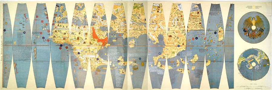
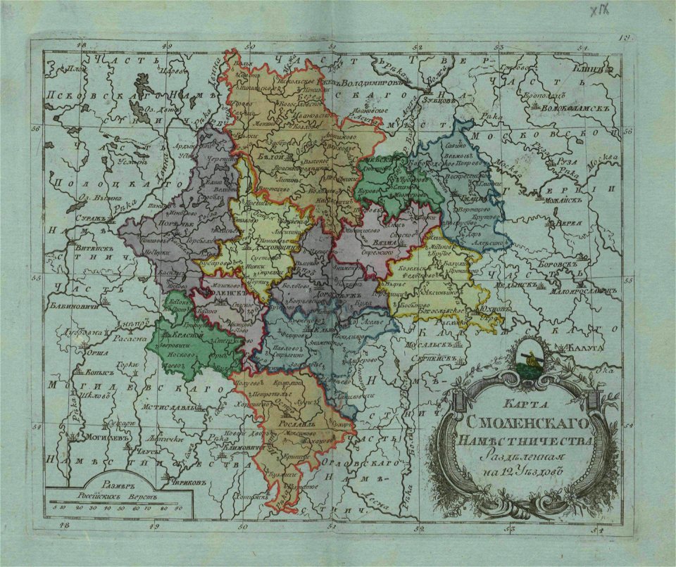
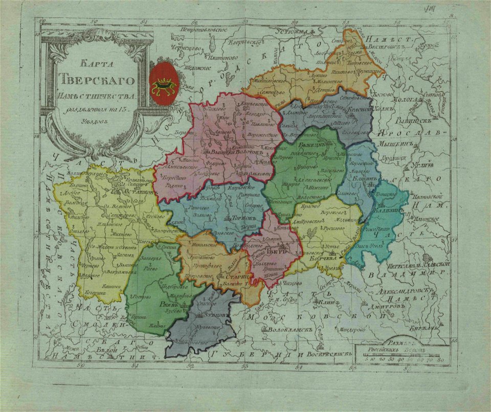
small atlas of the russian empire (1796)
maps
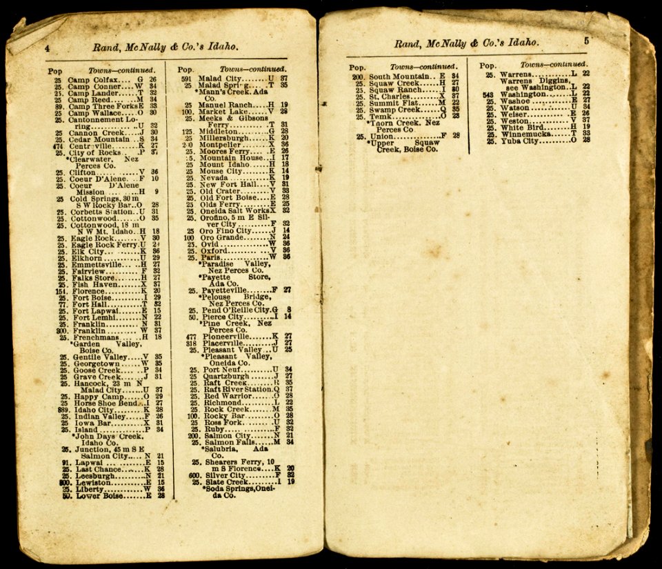
everett d. graff collection of western americana
geographical illustrations by coronelli
background
charts and maps of the royal museums greenwich
map of ferrara by andrea bolzoni
atlas beudeker
vintage
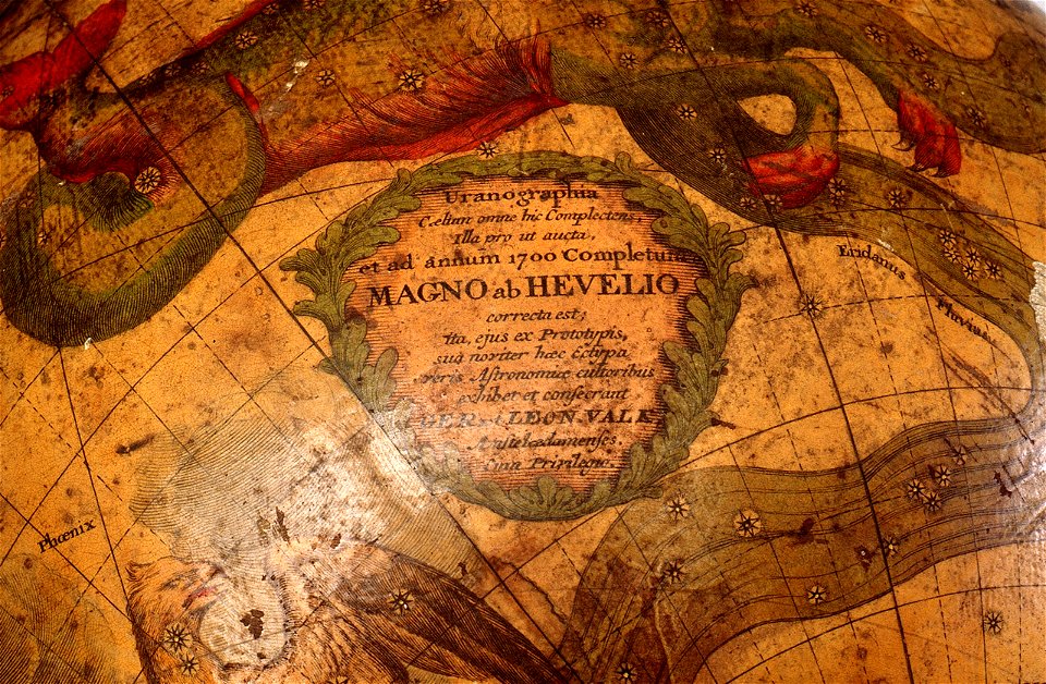
gerard valck
map of ferrara by andrea bolzoni
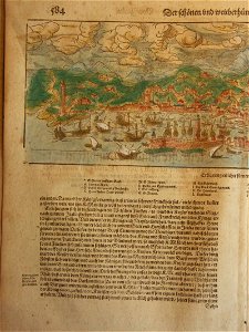
cosmographia (1600) by sebastian münster
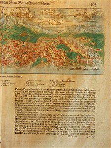
old maps of florence
copper engraving
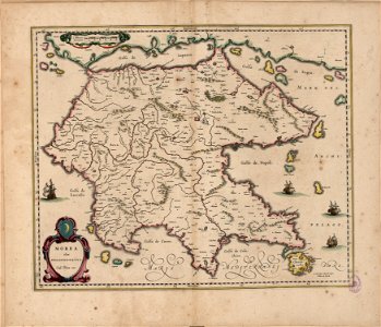
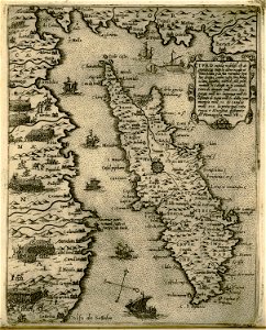
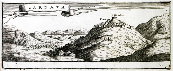
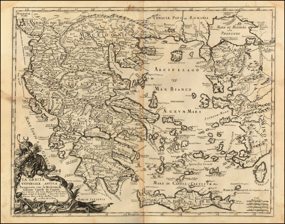
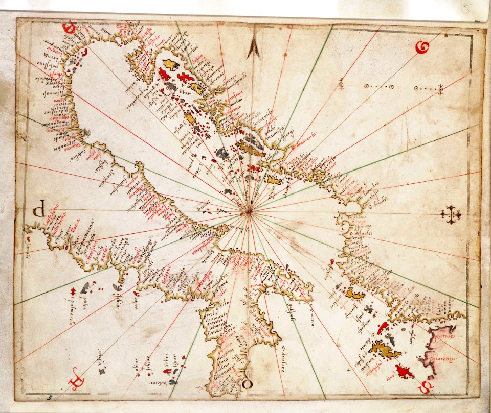
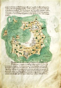
morea
charts and maps of the royal museums greenwich
engravings of basel
maps of basel
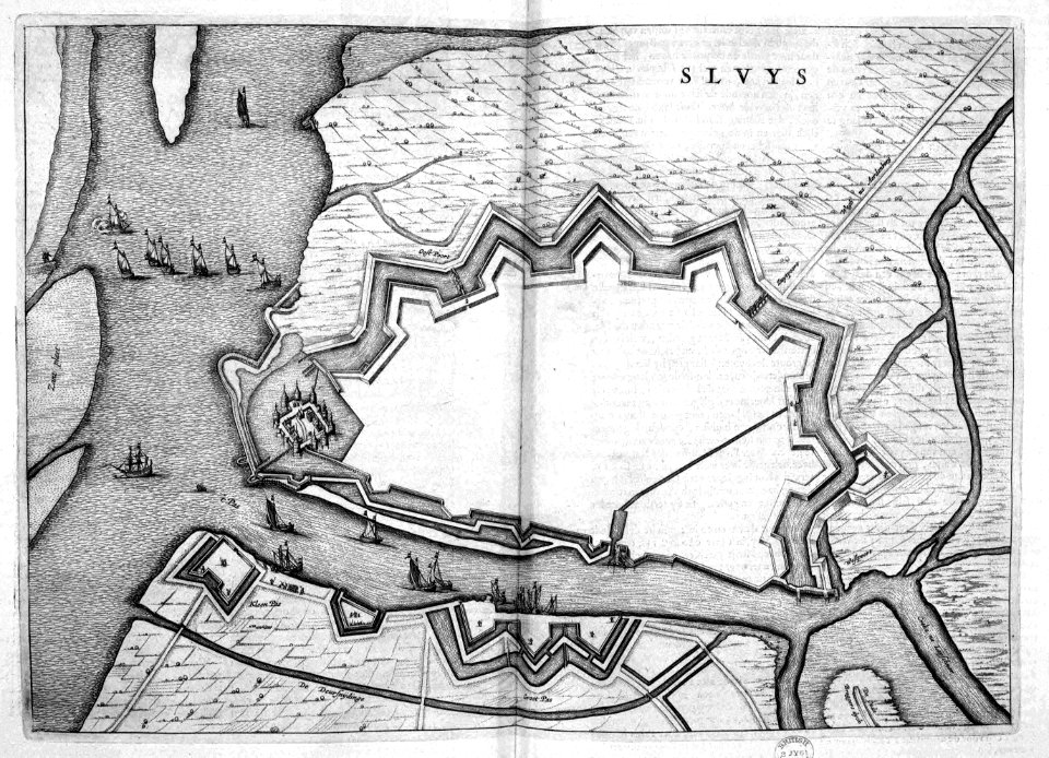
old maps of sluis
atlas beudeker
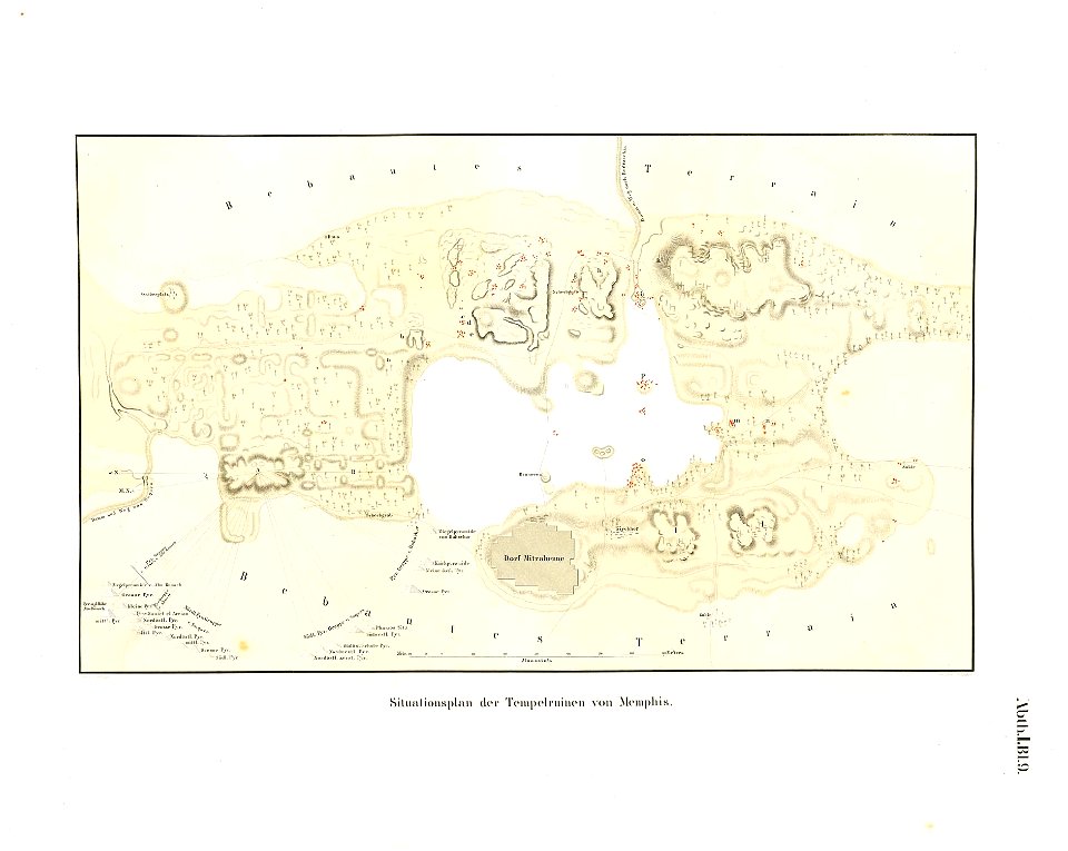
memphis
egypt
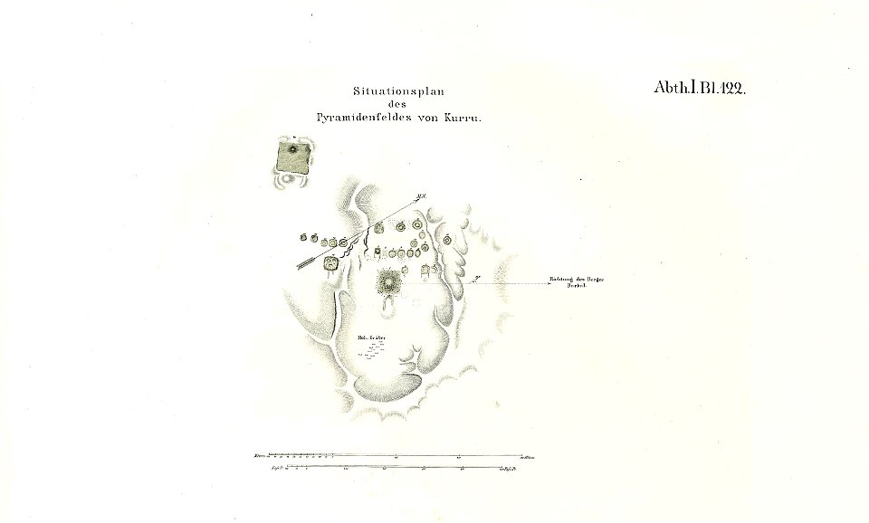
lepsius-projekt - maps
pyramids of el-kurru
drawings (documentary) collection in the library of congress
drawings by alfred waud
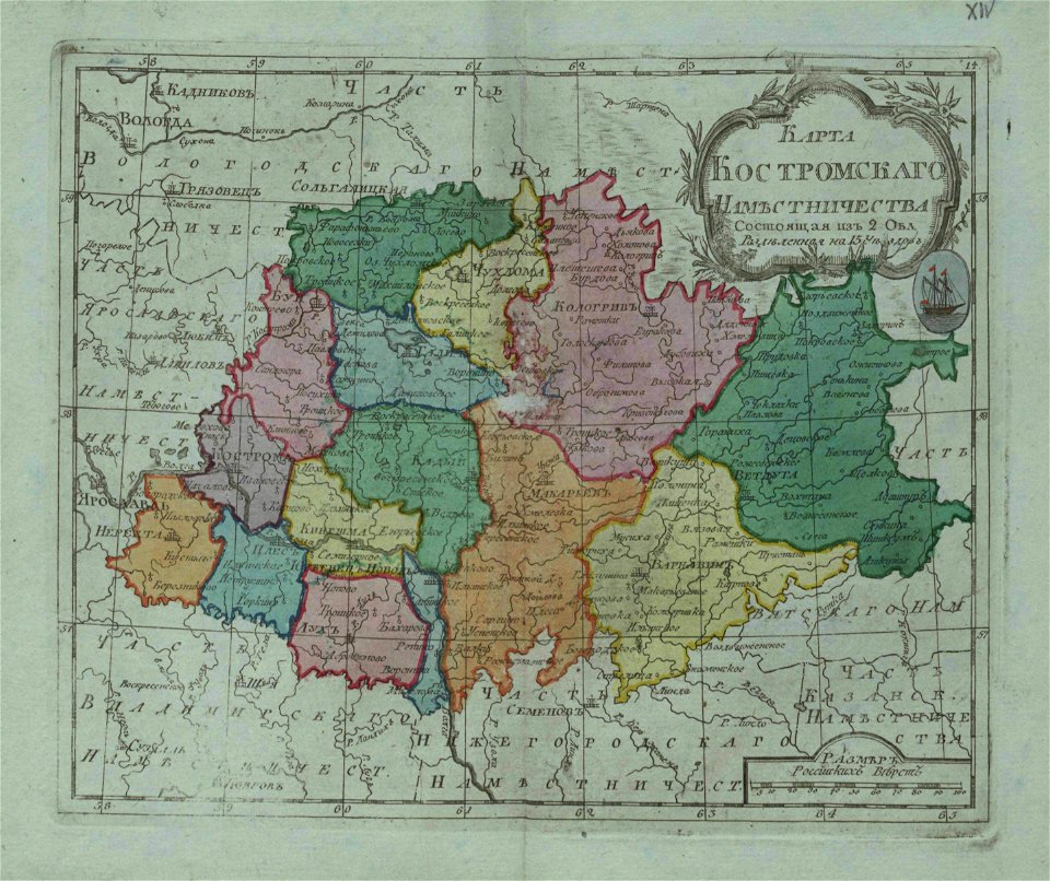
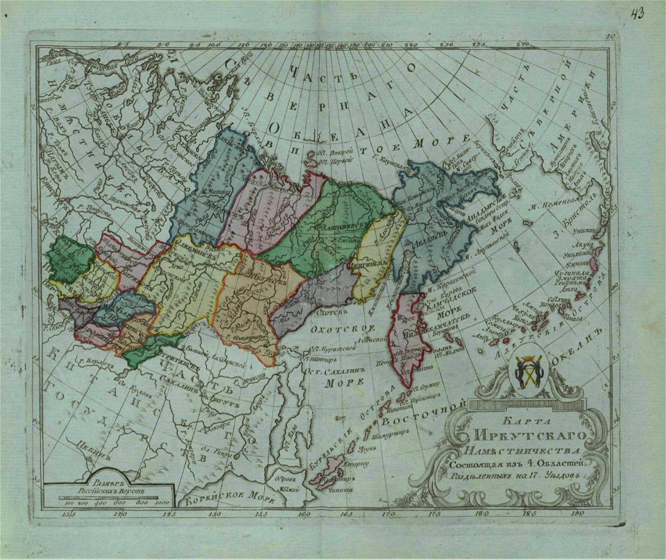
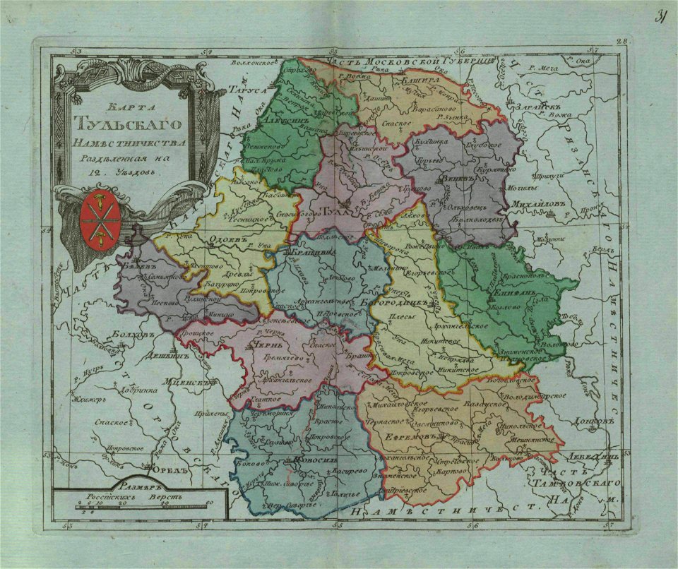
small atlas of the russian empire (1796)
small atlas of the russian empire (1796)
everett d. graff collection of western americana
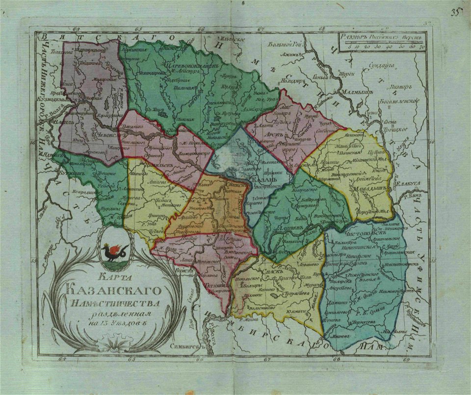
small atlas of the russian empire (1796)
small atlas of the russian empire (1796)
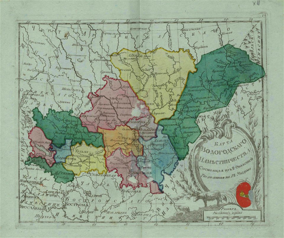
small atlas of the russian empire (1796)
small atlas of the russian empire (1796)
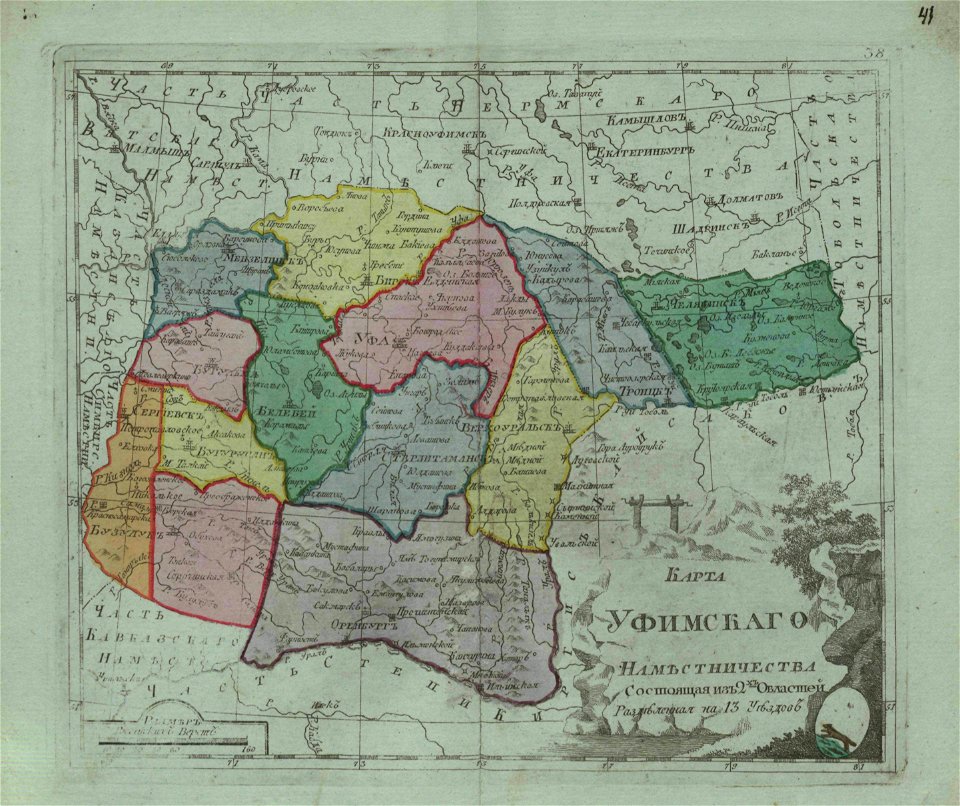
small atlas of the russian empire (1796)
small atlas of the russian empire (1796)
everett d. graff collection of western americana
small atlas of the russian empire (1796)
small atlas of the russian empire (1796)
everett d. graff collection of western americana
small atlas of the russian empire (1796)
small atlas of the russian empire (1796)
illustrations for boy travellers in russia
small atlas of the russian empire (1796)
geographical illustrations by coronelli
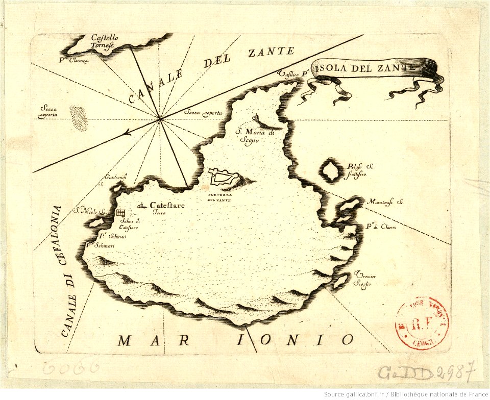
maps of zakynthos
history of weingarten (württemberg)
maps by wenzel hollar
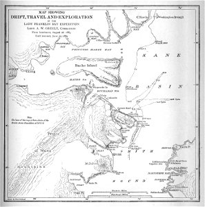
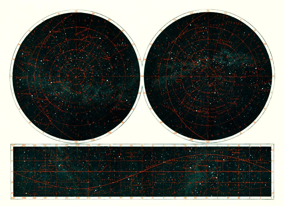
international polar year (1882-1883)
polar meteorology
international polar year (1882-1883)
polar meteorology
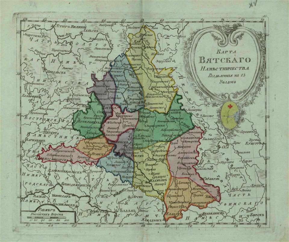
atlas of the russian empire (1792)
old maps of kursk governorate
historical maps of lüneburg
stadtarchiv lüneburg
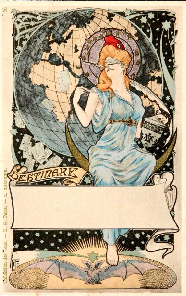
collection des cent
map postcards
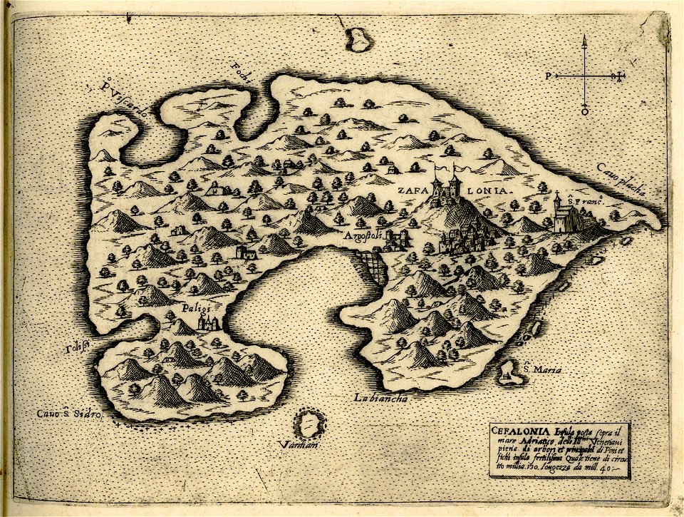
historical maps of kefalonia
giovanni camocio
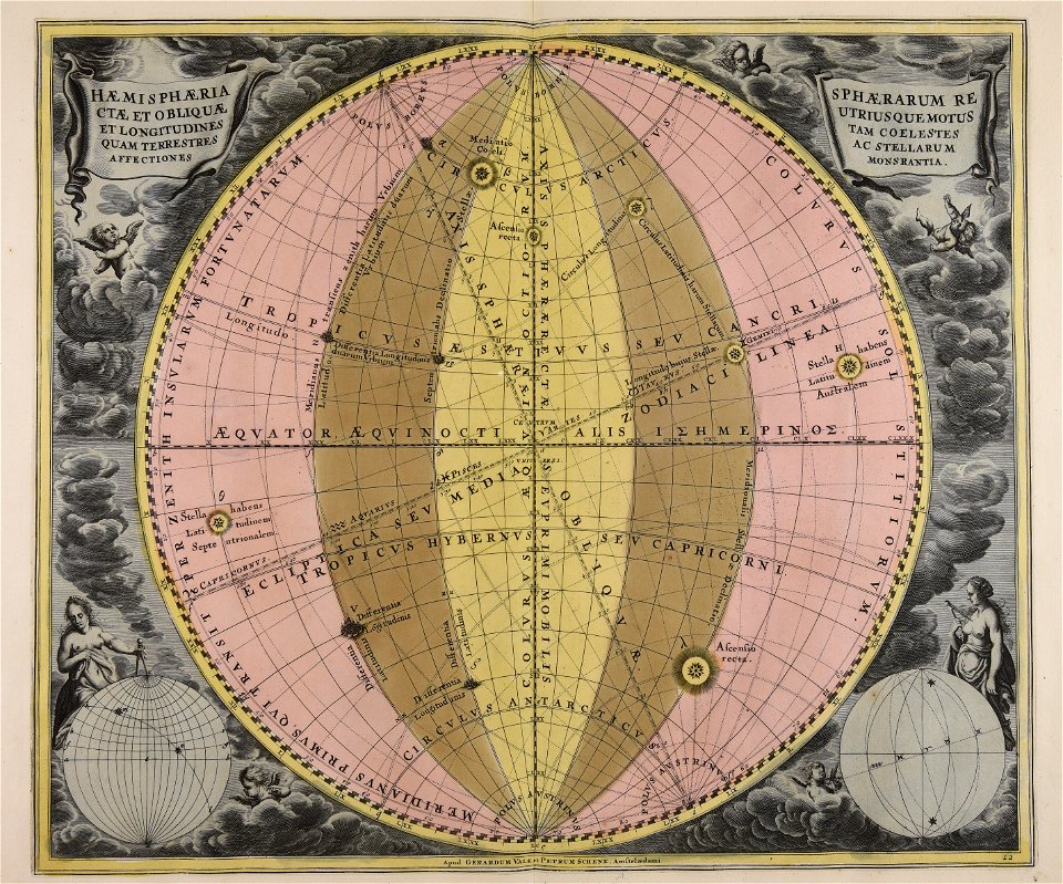
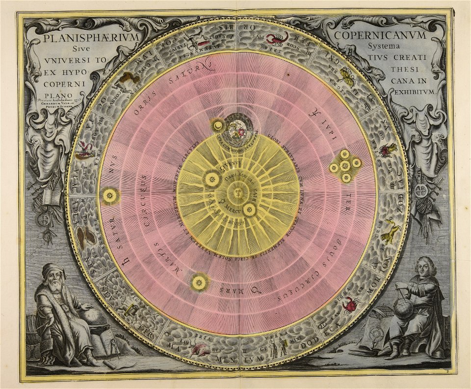
maps by gerardus mercator
mercator celestial globe
liber insularum archipelagi (royal museums greenwich)
maps of kefalonia
maps by sebastian münster
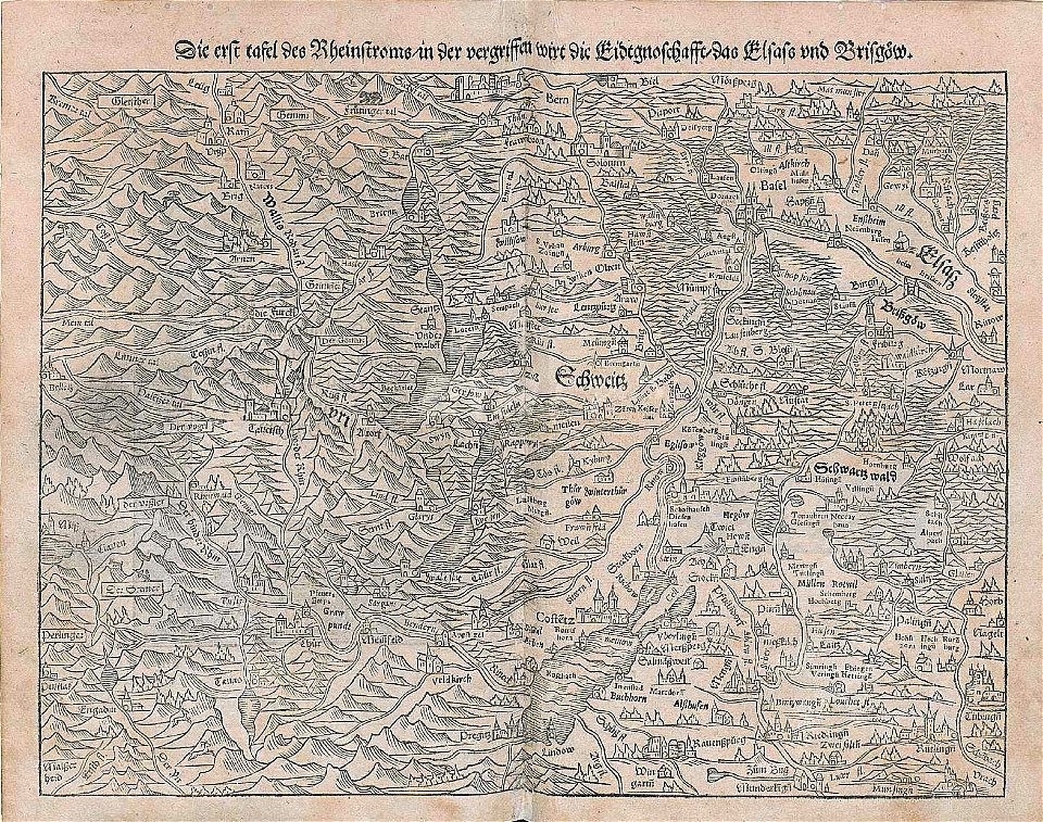
rhine in switzerland
17th-century maps of canada
codex canadensis
maps by jodocus hondius
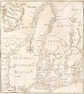
18th-century maps of finland
georg biurman
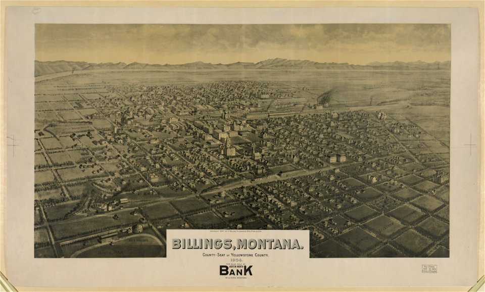
maps of billings
montana
geographical illustrations by coronelli
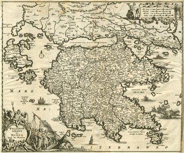
old maps of the peloponnese
maps of amsterdam by cornelis anthonisz.
paintings of amsterdam
old maps of cyprus
giovanni camocio
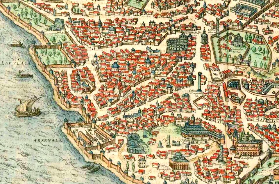
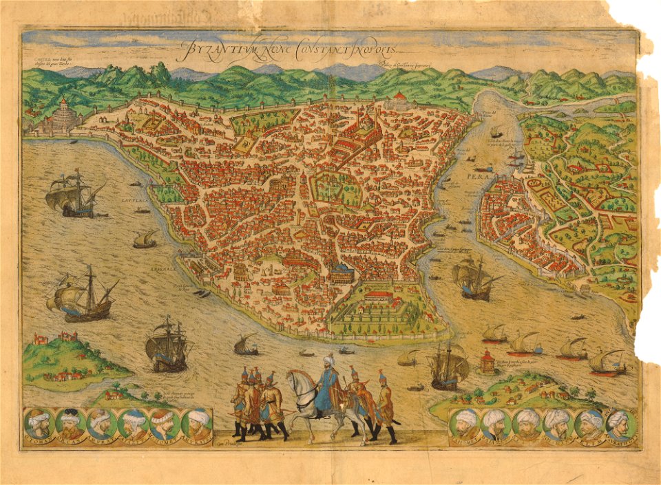
old maps of constantinople
braun & hogenberg
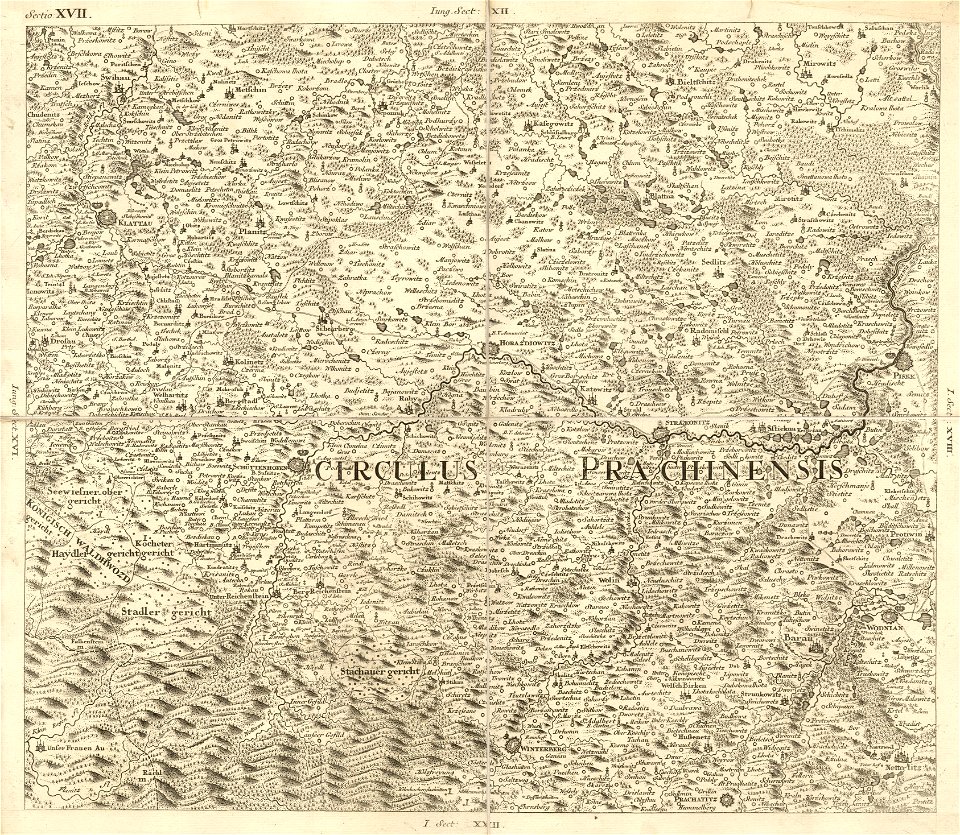
müller's map of bohemia
plzeňský kraj (do 1862)
geographical illustrations by coronelli
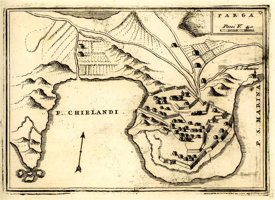
engravings of parga
engravings of topographia bohemiae moraviae et silesiae
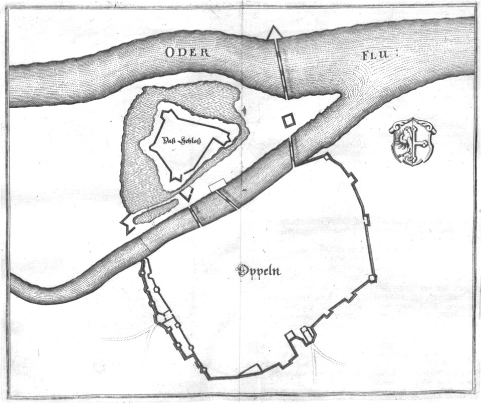
old maps of opole
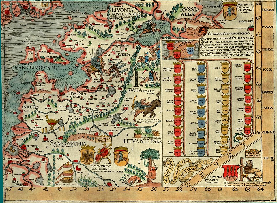
carta marina (details)
background
maps
background
maps
background
maps
background
maps
background
maps
maps
book
gerard valck
earth
maps made in the 18th century
gerard valck
maps made in the 18th century
gerard valck
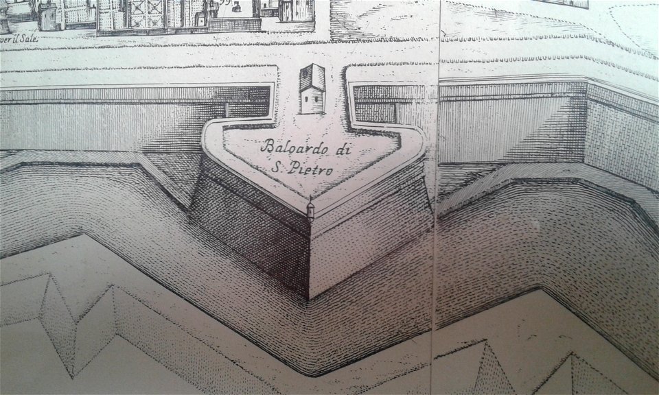
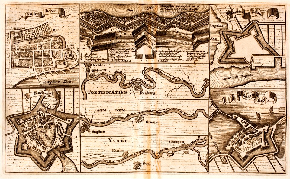
fortifications in the netherlands
zwartsluis
valid svg created with text editor
ofl
images from metropolitan museum of art (paris project)
jardin des plantes
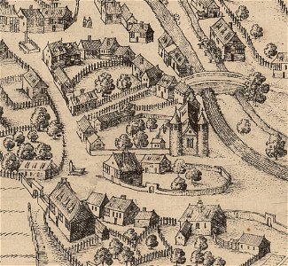
map of ghent by abraham saur
theatrum urbium (1610)
maps of liège in the 17th century
theatrum urbium (1610)
theatrum urbium (1610)
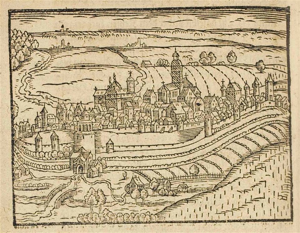
maps of schweinfurt
charts and maps of the royal museums greenwich
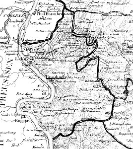
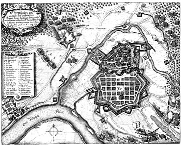
braubach
1828
map „das herzogthum nassau“ by j.b. fischer
1828
geographical illustrations by coronelli
old maps of the peloponnese
johannes van keulen
zuiderzeemuseum
maps by jodocus hondius
samuel purchas
maps in the library of congress
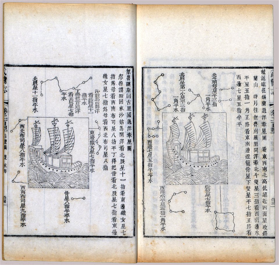
wubei zhi
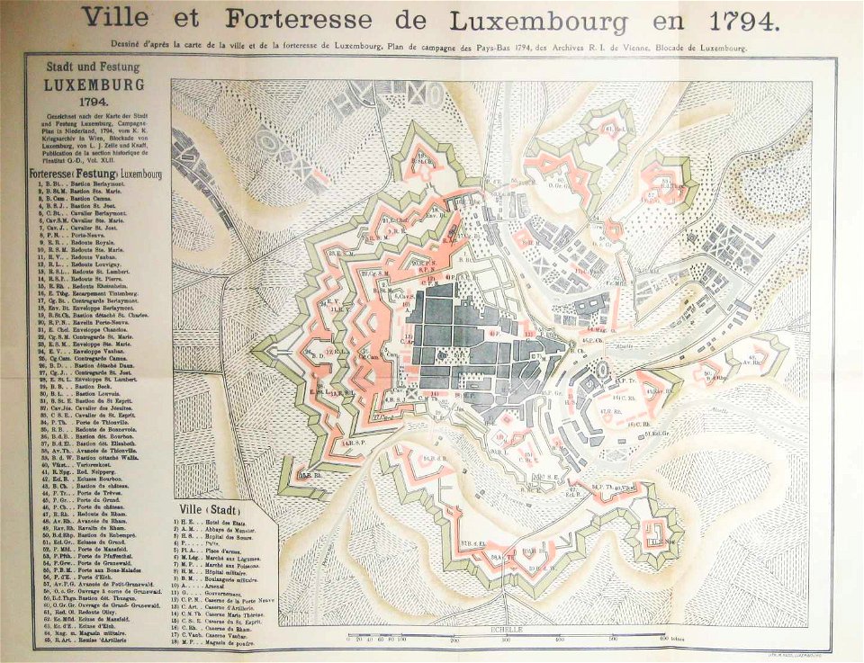
maps of luxembourg city walls
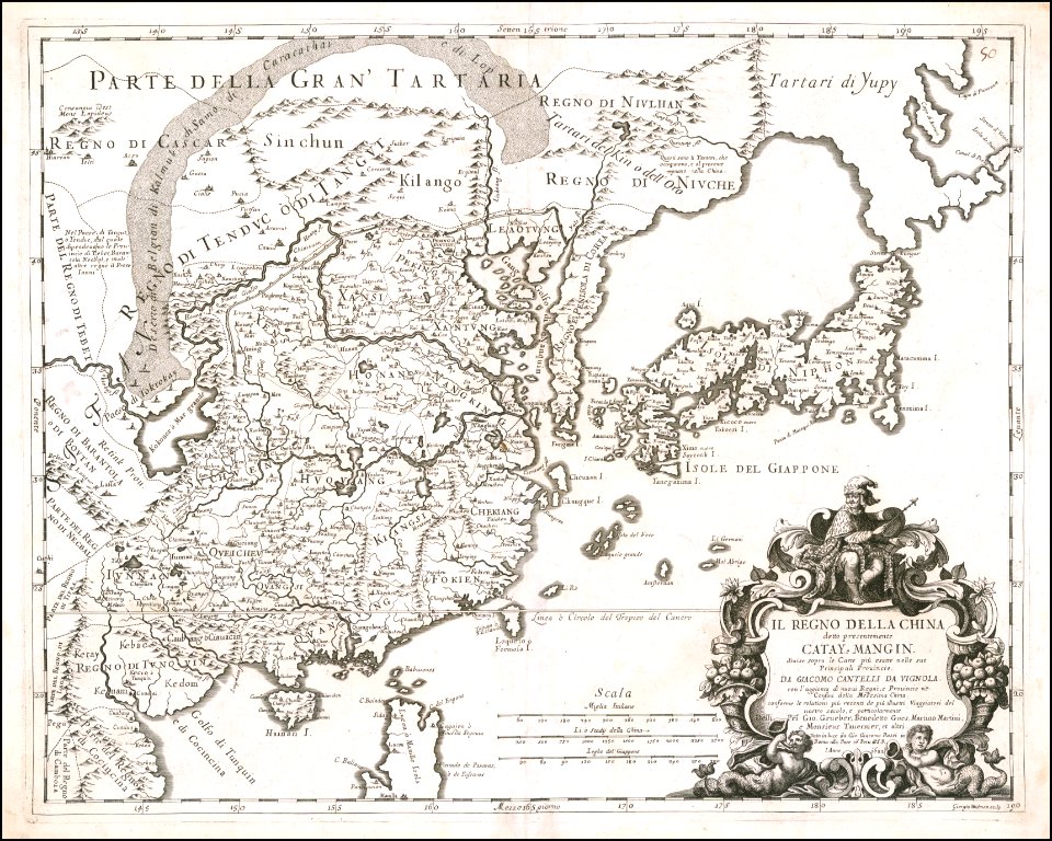
giacomo cantelli da vignola
giacomo cantelli da vignola
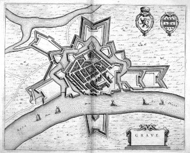
maps of grave
netherlands
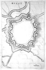
old maps of hulst
atlas beudeker
description des principales villes (1690)
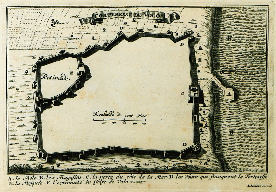
maps of volos
charts and maps of the royal museums greenwich
joan martines
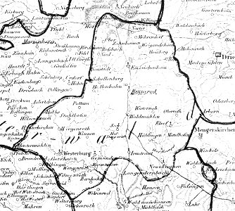
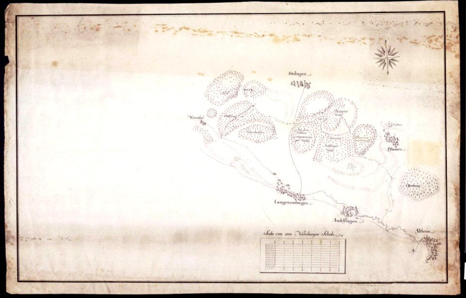
maps of württemberg
langenenslingen
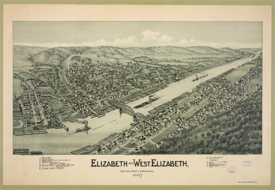
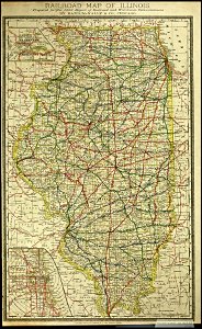
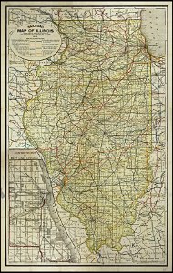
1897 maps of pennsylvania
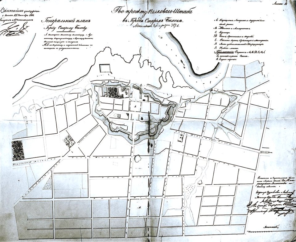
historical images of bychaŭ
plans of bychaŭ castle
old maps of istanbul
braun & hogenberg
map of ferrara by andrea bolzoni
map of ferrara by andrea bolzoni
geographical illustrations by coronelli
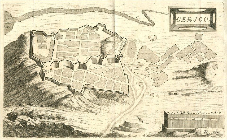
engravings of kythira
charts and maps of the royal museums greenwich
old maps of greece
olfert dapper
everett d. graff collection of western americana
everett d. graff collection of western americana
description des principales villes (1690)
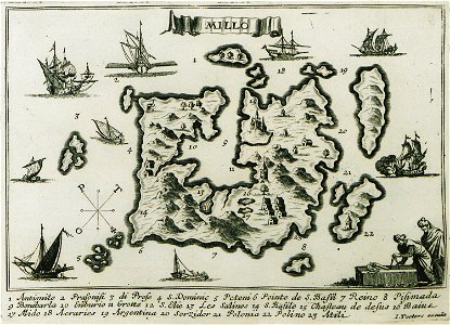
maps of milos
liber insularum archipelagi (royal museums greenwich)
maps of milos
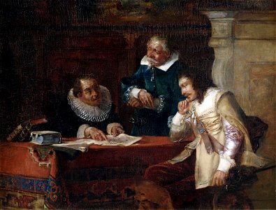
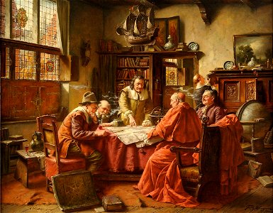
people with maps in art
max gaisser
history of hanau
maps of hanau
relation of a journey (sandys)
17th-century maps of jerusalem
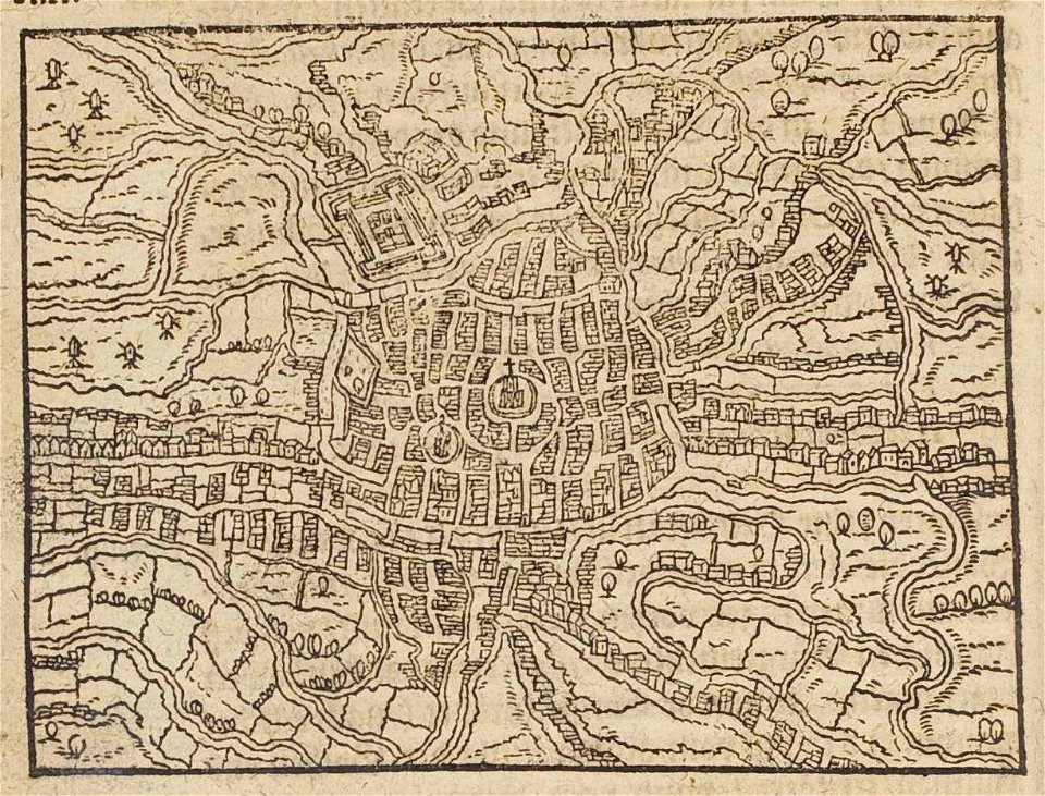
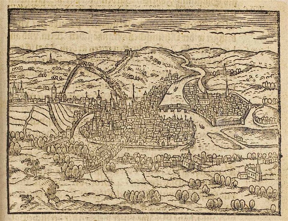
cosmographia (1600) by sebastian münster
old maps of florence
people with maps in art
fritz wagner (painter)
small atlas of the russian empire (1796)
small atlas of the russian empire (1796)
small atlas of the russian empire (1796)
small atlas of the russian empire (1796)
11301 - 11400 of 357,549
Next page
/ 3576