Log in
All resources
Create a design
Tools
357,549 Free Images of Map
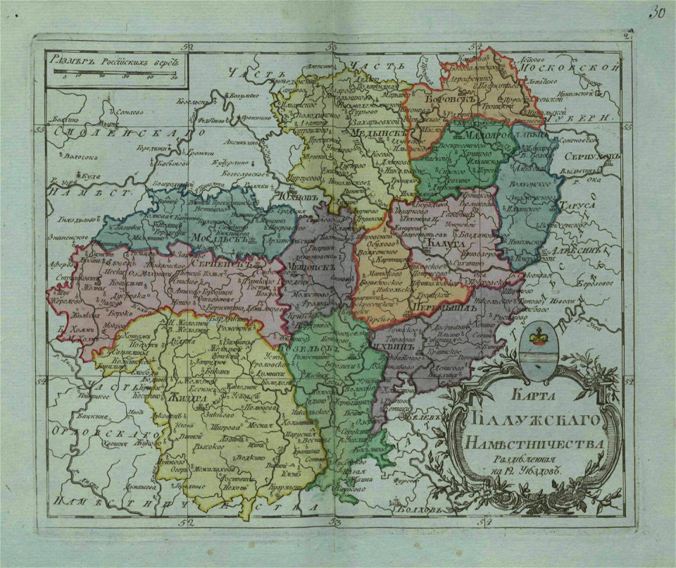
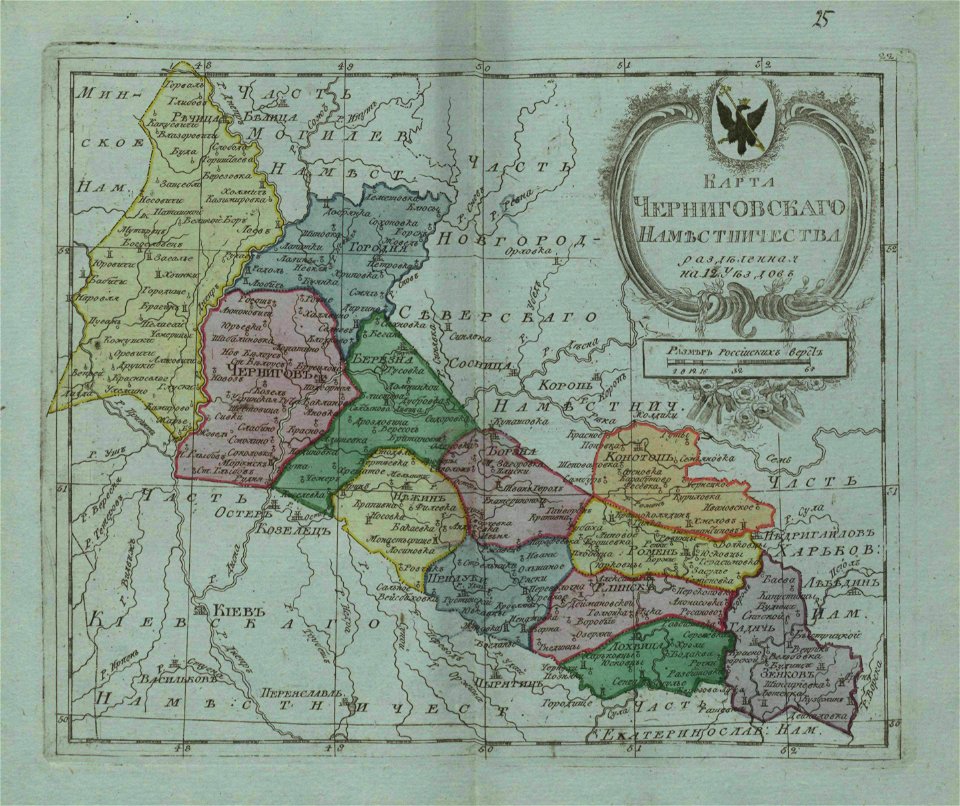
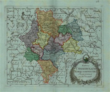
small atlas of the russian empire (1796)
maps
everett d. graff collection of western americana
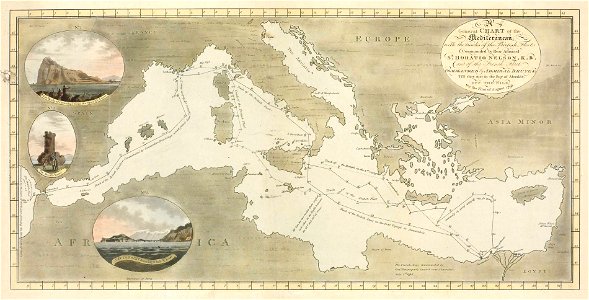
charts and maps of the royal museums greenwich
geographical illustrations by coronelli
maps with cartouches
atlas van der hagen
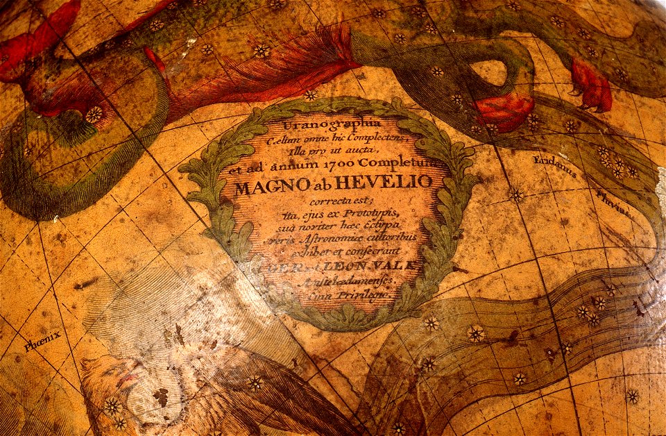
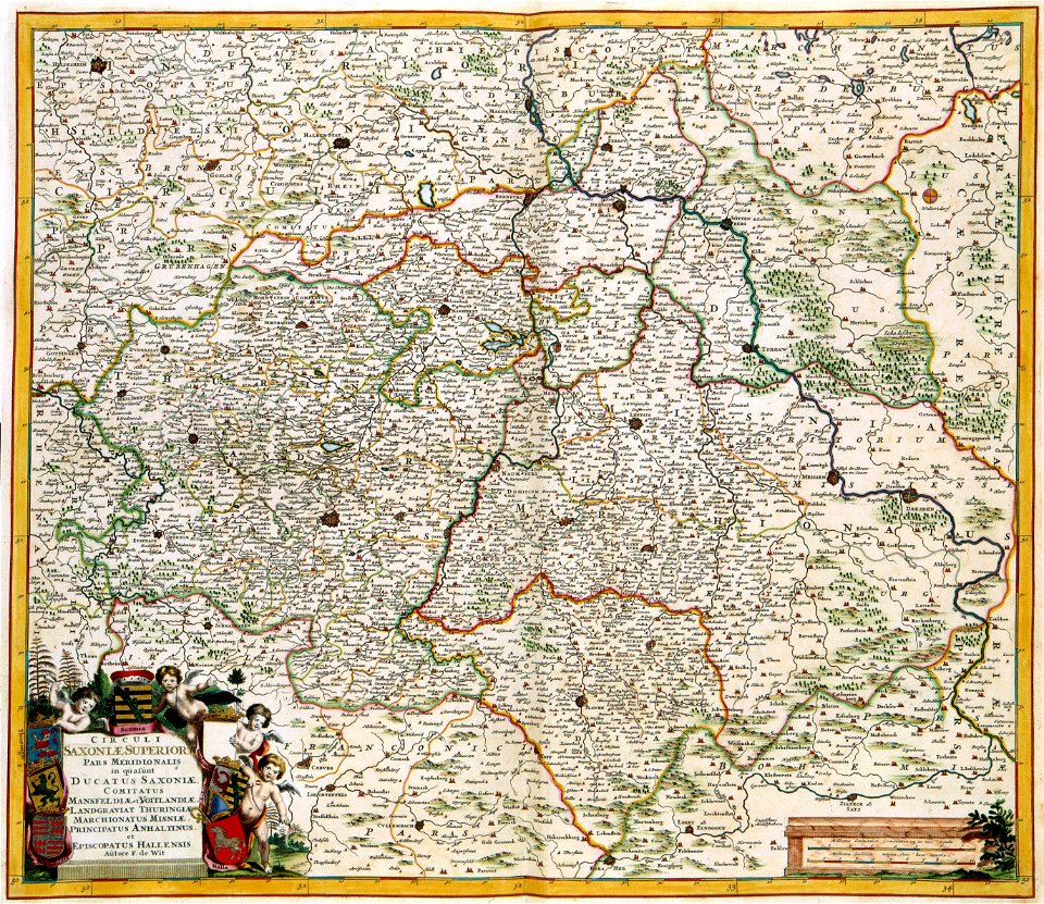
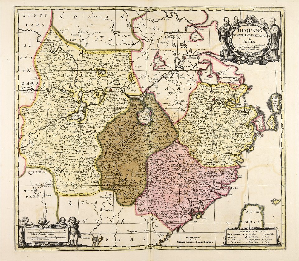
gerard valck
countries
1828
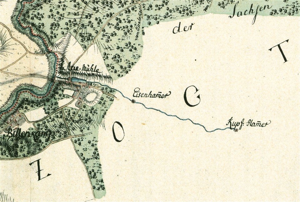
maps by gustav adolf von varendorf
sachsenwald
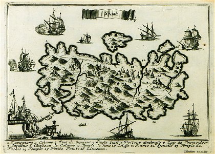
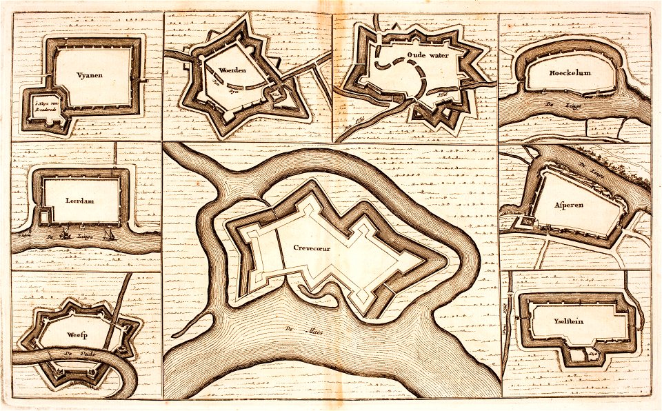
description des principales villes (1690)
maps of samos
everett d. graff collection of western americana
everett d. graff collection of western americana
charts and maps of the royal museums greenwich
geographical illustrations by coronelli
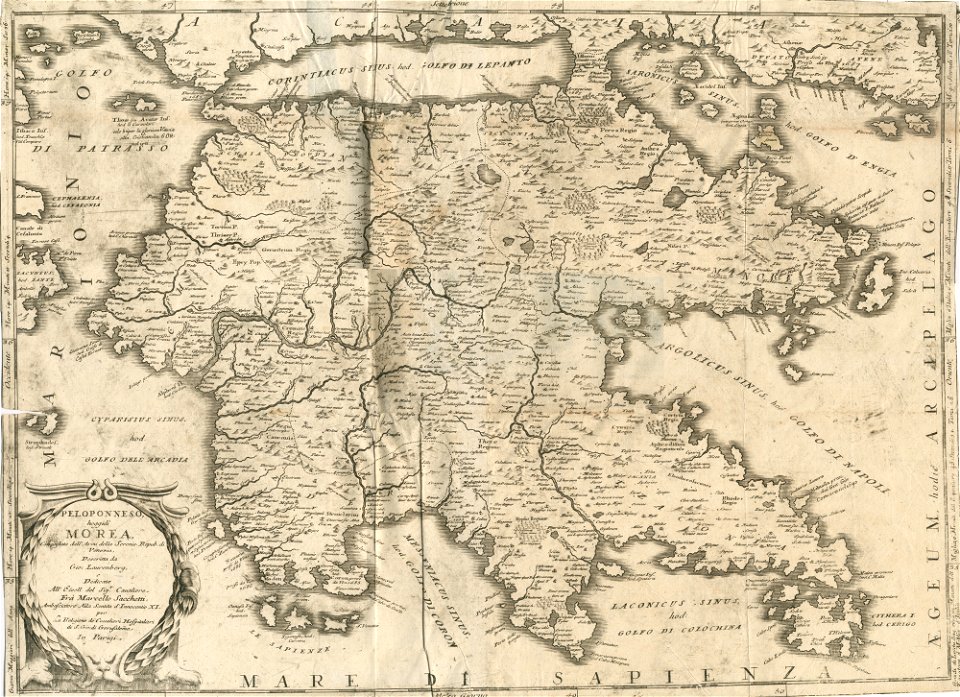
old maps of the peloponnese
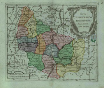
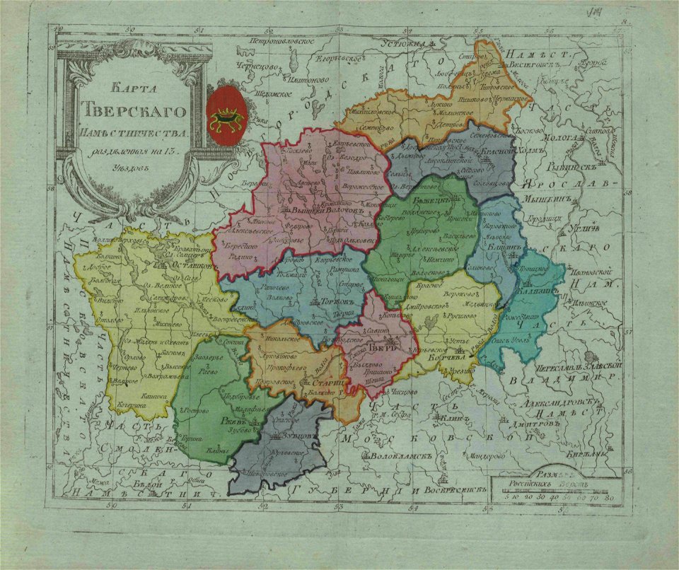
small atlas of the russian empire (1796)
small atlas of the russian empire (1796)
description de l'universe
northern europe
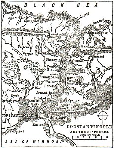
travels to and from constantinople (1829)
everett d. graff collection of western americana
everett d. graff collection of western americana
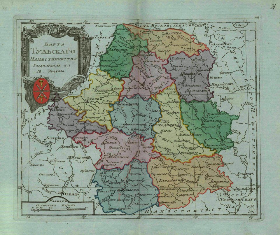
small atlas of the russian empire (1796)
small atlas of the russian empire (1796)
illustrations from letters from england
maps of ireland
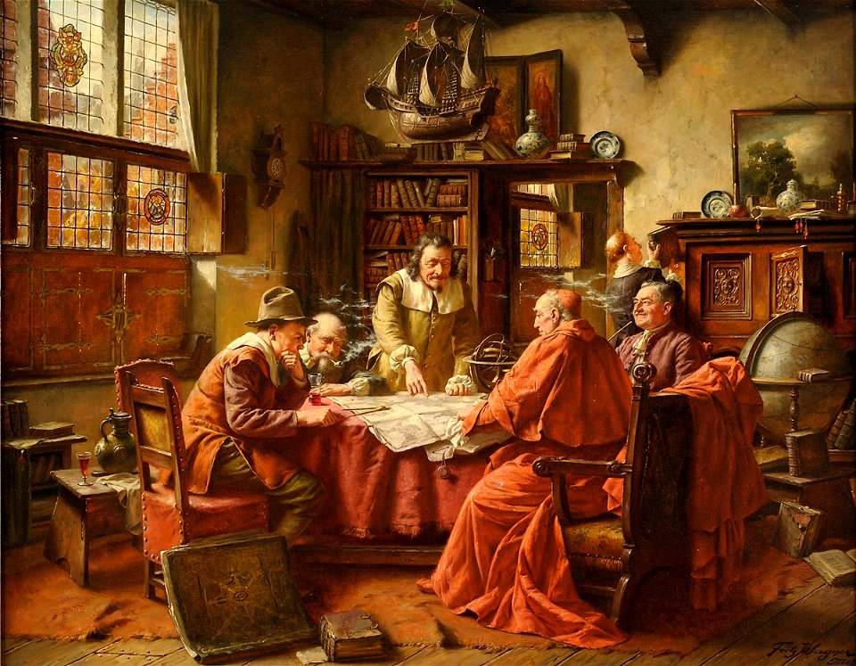
people with maps in art
max gaisser
niedersächsisches landesarchiv
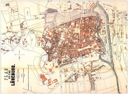
historical maps of lüneburg
images from the new student's reference work
maps of constantinople
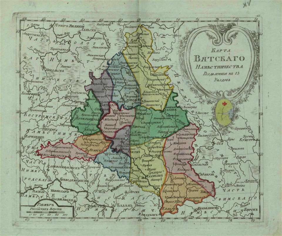
small atlas of the russian empire (1796)
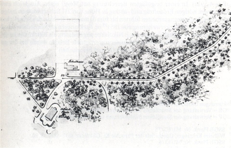
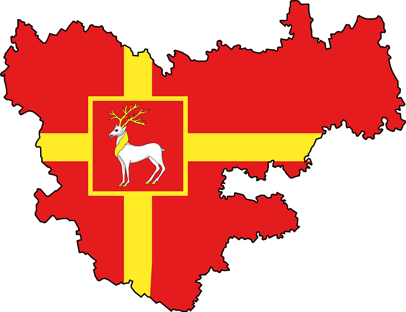
nikolskoe (berlin)
1848 maps
history of hanau
maps of hanau
people with maps in art
fritz wagner (painter)
charts and maps of the royal museums greenwich
map of ferrara by andrea bolzoni
map of ferrara by andrea bolzoni
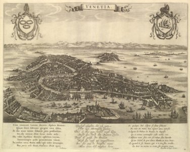
maps in the amsterdam museum
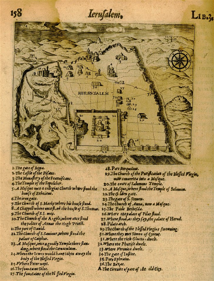
relation of a journey (sandys)
17th-century maps of jerusalem
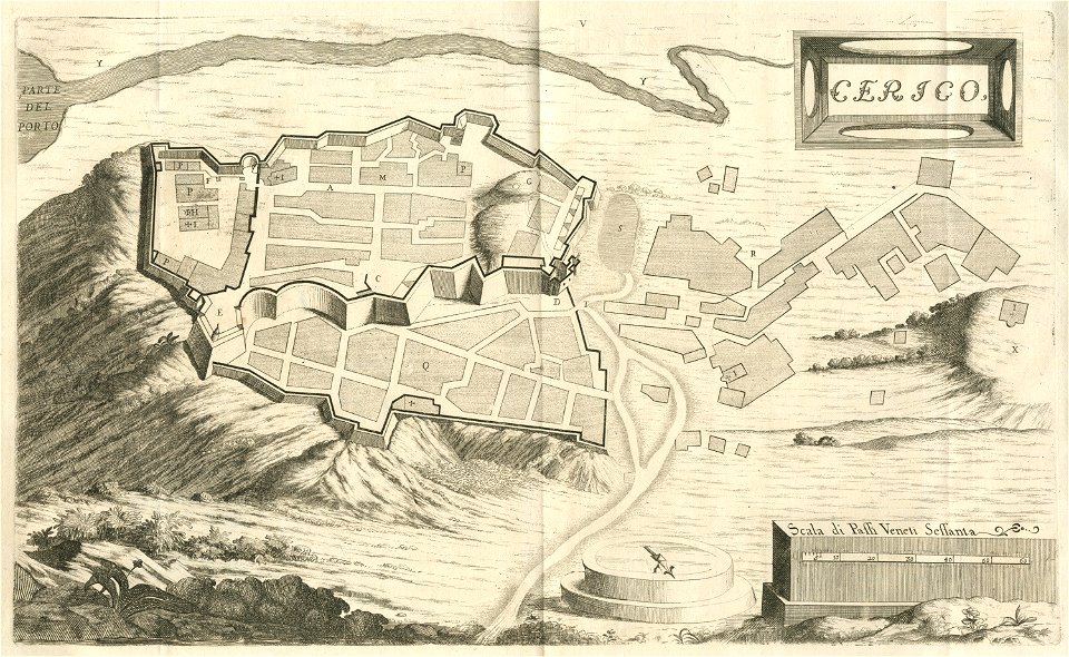
geographical illustrations by coronelli
engravings of kythira
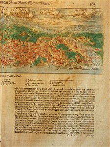
cosmographia (1600) by sebastian münster
old maps of florence
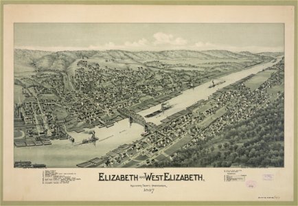
1897 maps of pennsylvania
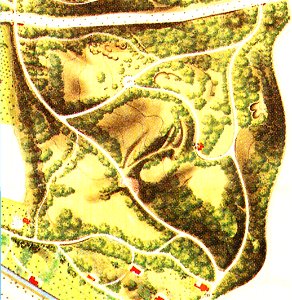
maps of berlin-wannsee
böttcherberg
small atlas of the russian empire (1796)
small atlas of the russian empire (1796)
small atlas of the russian empire (1796)
small atlas of the russian empire (1796)
description des principales villes (1690)
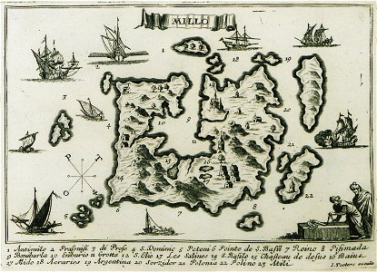
maps of milos
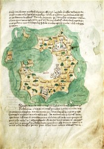
liber insularum archipelagi (royal museums greenwich)
maps of milos
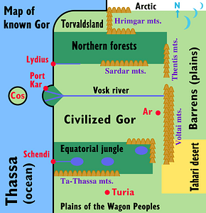
svg special or fictional flags
self-published work
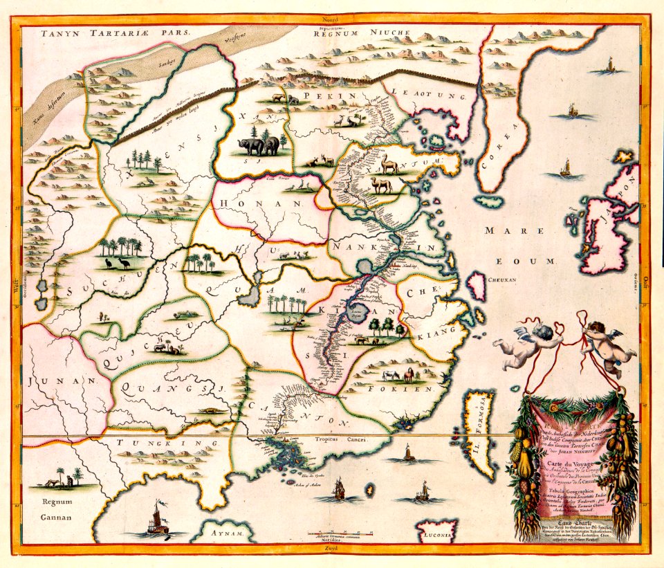
17th-century maps of china
maps with cartouches
maps with cartouches
old maps of saxony
italy
grado
gerard valck
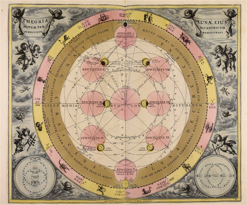
moon
maps made in the 18th century
gerard valck
maps made in the 17th century
gerard valck
artworks without wikidata item
17th-century prints
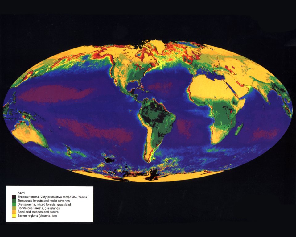
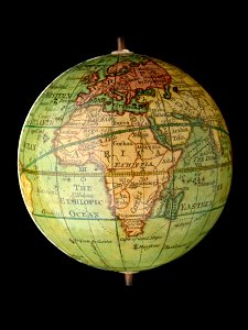
planet earth
maps
maps in utrecht university library
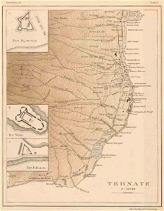
indonesia
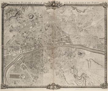
maps of paris from paris musées
plan de jaillot (1775)
maps with cartouches
atlas van der hagen
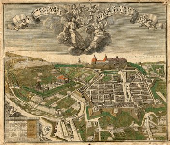
schloss friedenstein (gotha)
gotha
images with postscript source code
self-published work
military map symbols for units and formations/infantry
self-published work
map icons
icons
brazil
maps
countries
maps
maps
flag
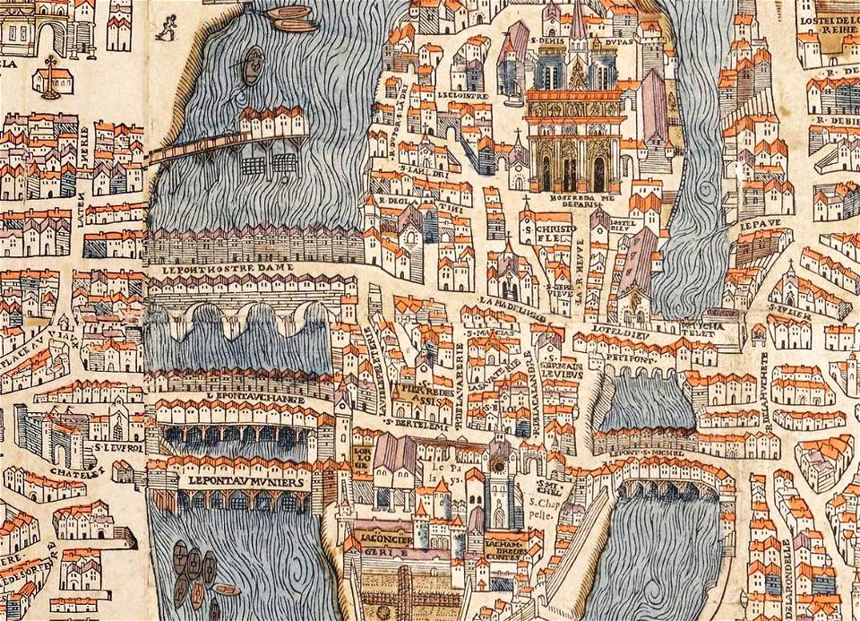
historical images of the pont saint-michel
rue de la huchette (paris)
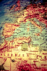
africa
maps
maps with cartouches
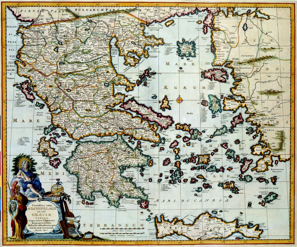
old maps of greece
fonds ancely - bibliothèque municipale de toulouse - maps
françois arago
chromolithograph
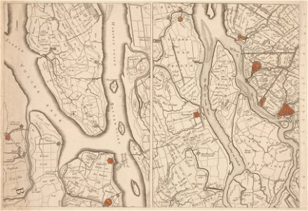
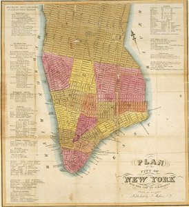
new york city
chromolithograph
new york city
maps made in the 18th century
gerard valck
printing
london
utrecht
leerdam
earth
maps
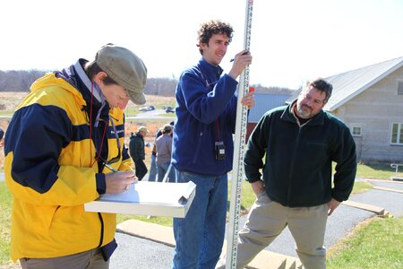
student
mapping
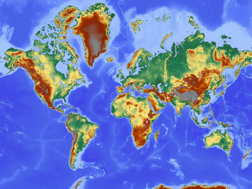
world
maps
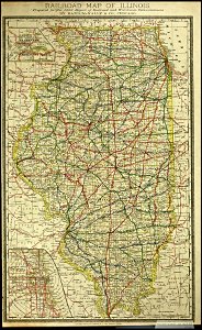
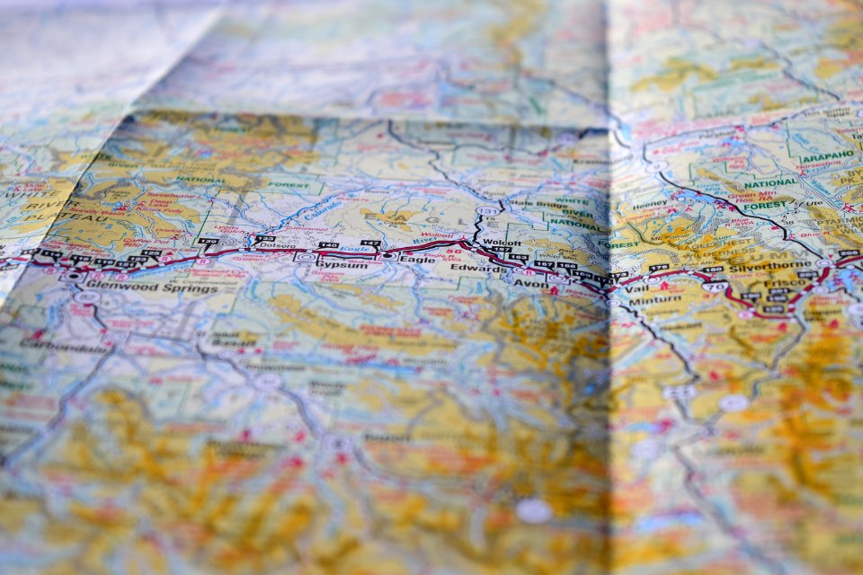
united states
maps
relation of a journey (sandys)
old maps of cities in sweden
landskrona
bibliothèque municipale de reims
rès. g 152
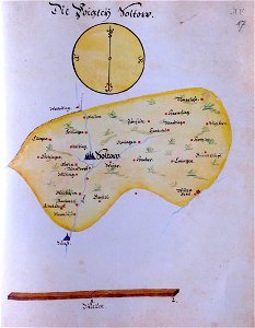
ämteratlas des fürstentums lüneburg von johannes mellinger
maps of soltau
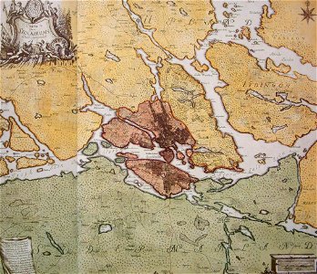
old maps of stockholm by georg biurman
ulvsunda slott - park
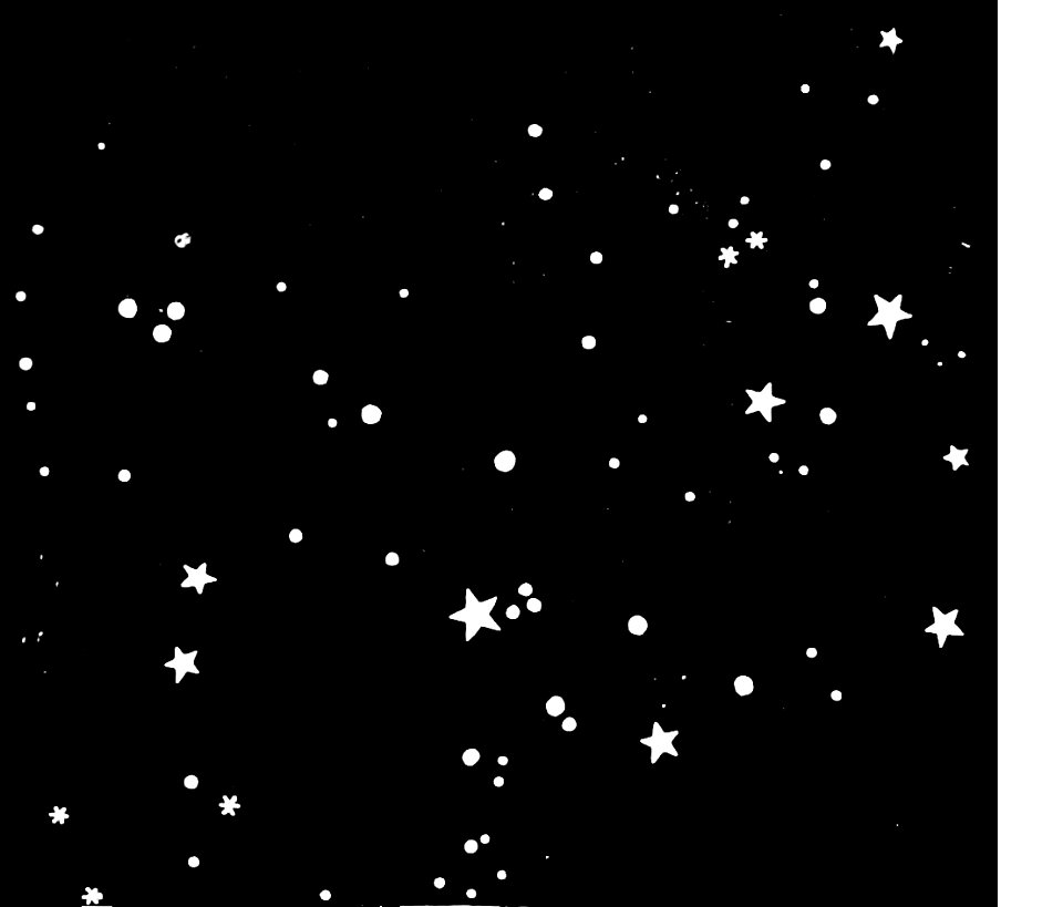
popular science monthly illustrations/volume 32
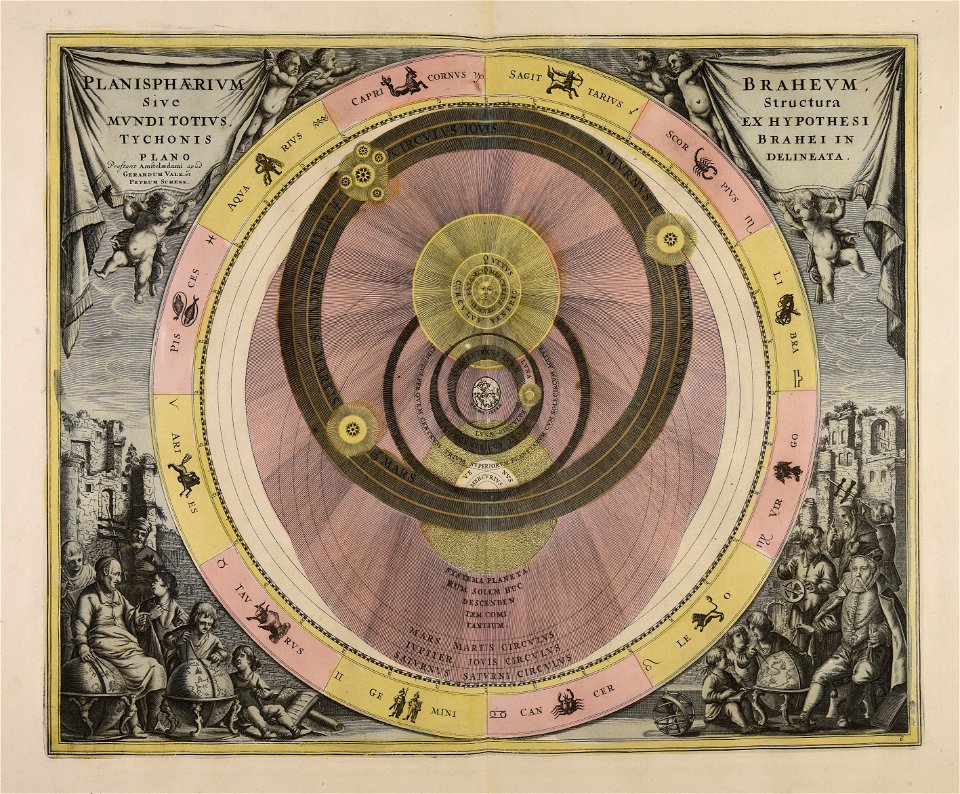
astronomical maps
il devotissimo viaggio di gerusalemme fatto
maps of zakynthos
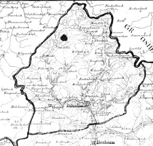
history of dillenburg
1828
map „das herzogthum nassau“ by j.b. fischer
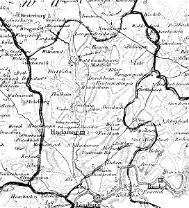
1828
map „das herzogthum nassau“ by j.b. fischer
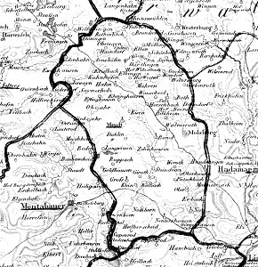
1828
wallmerod
1828
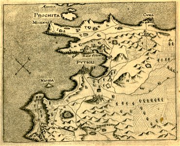
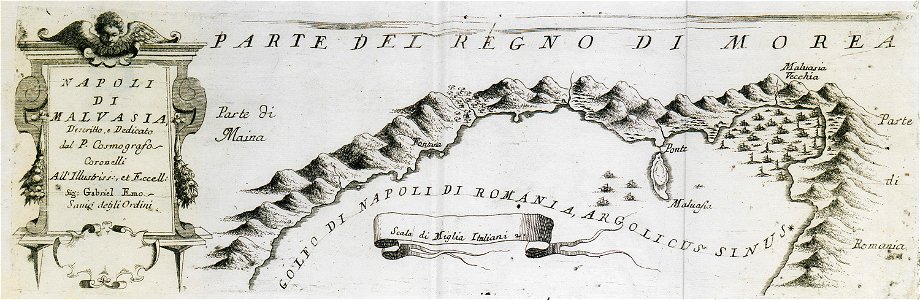
geographical illustrations by coronelli
old maps of the peloponnese
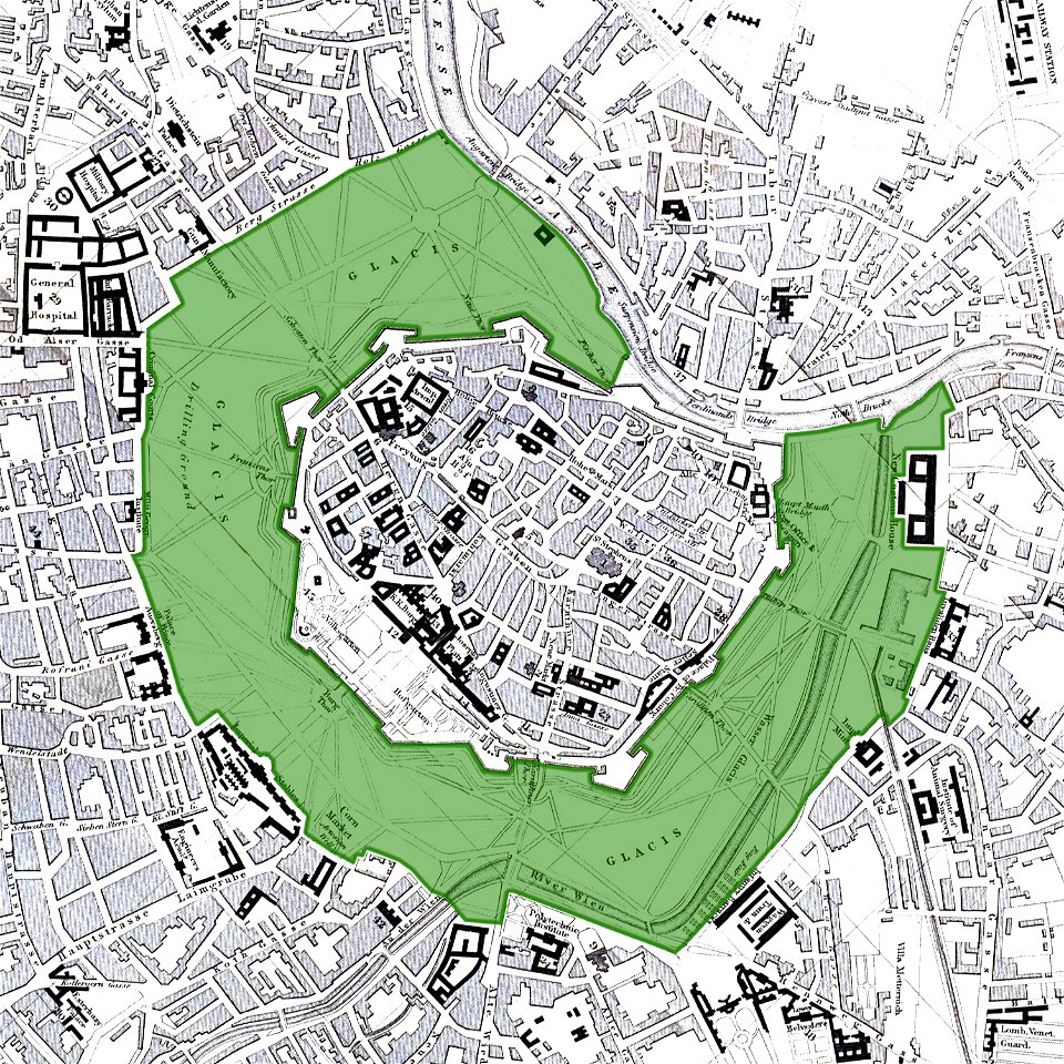
vienna
glacis
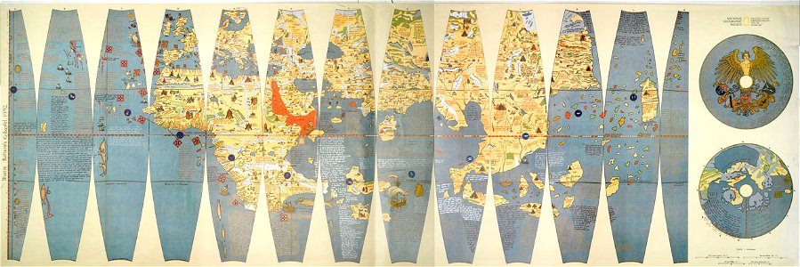
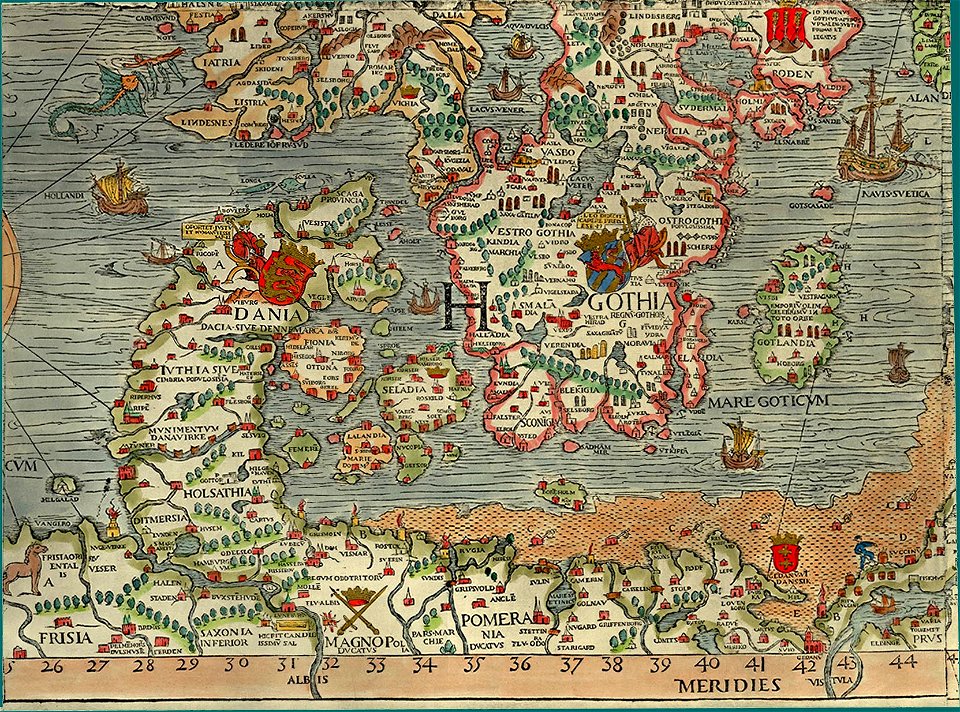
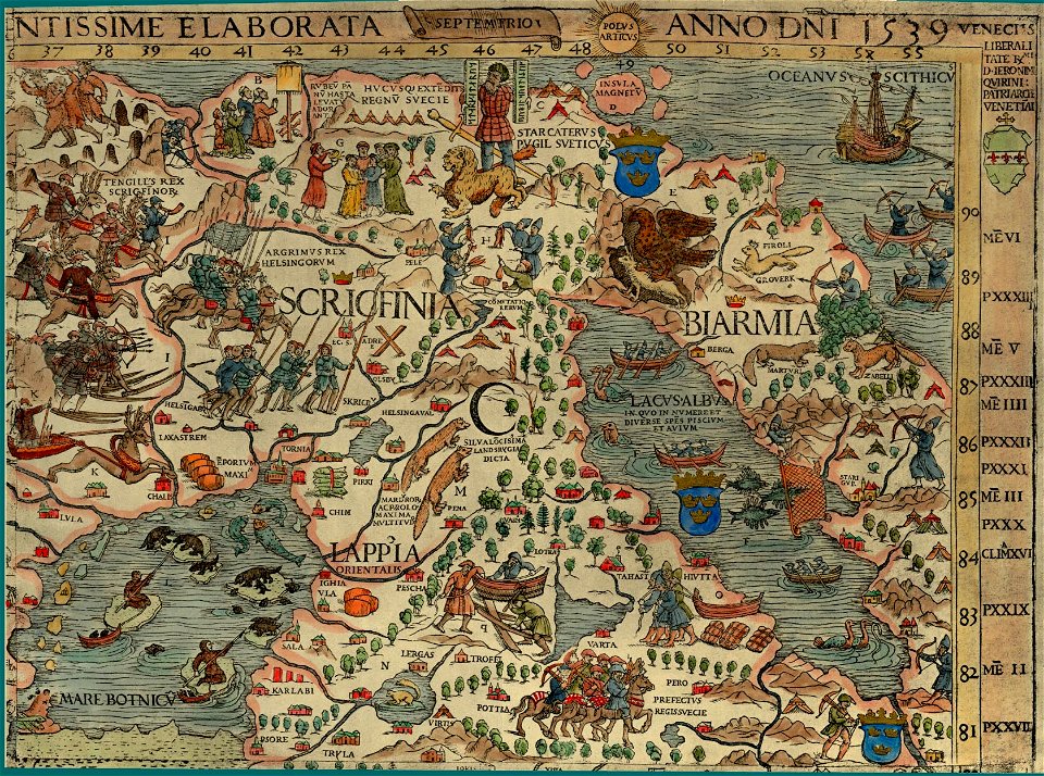
carta marina (details)
carta marina (details)
bibliothèque municipale de reims
rès. g 153
francesco piranesi
old maps of lazio
joan blaeu
vogtland
images from the new york public library
cartography of new york city
charts and maps of the royal museums greenwich
images from the new student's reference work
illustration
itinerarium hierosolymitanum et syriacum..., 1619
ships on maps
russo-turkish war (1735—1739)
maps by matthäus seutter
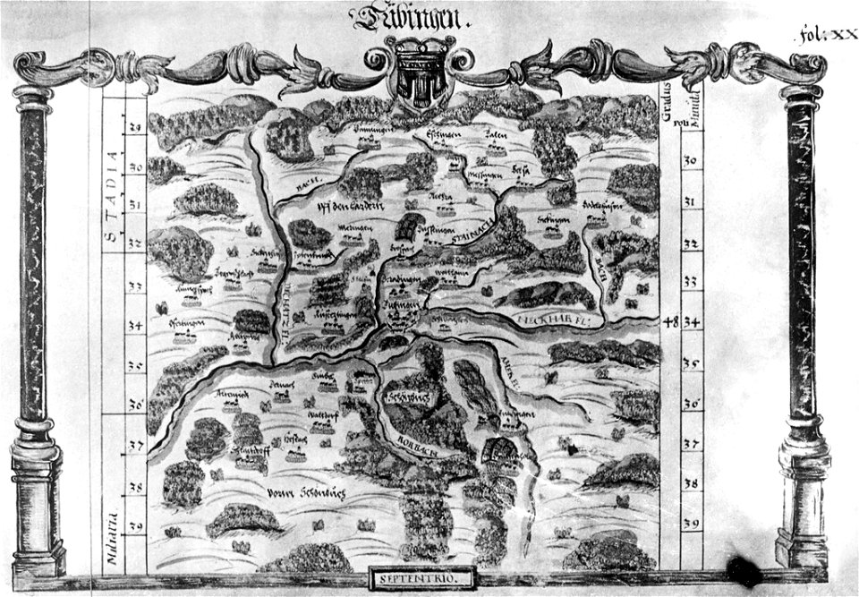
maps of tübingen
1575 in tübingen
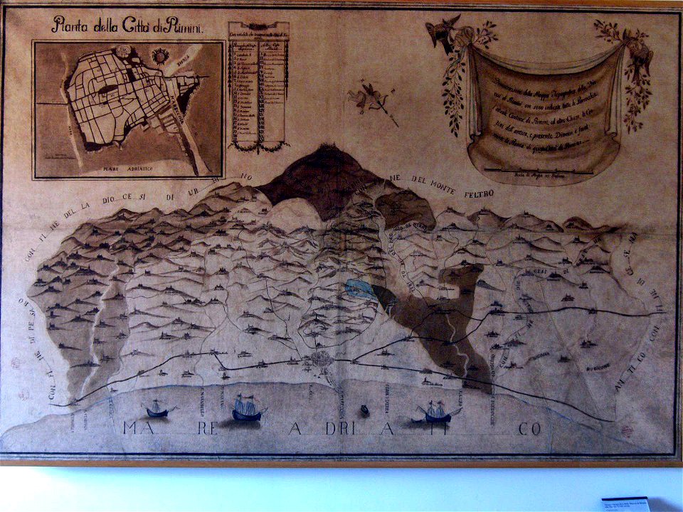
historical images of rimini
maps of rimini
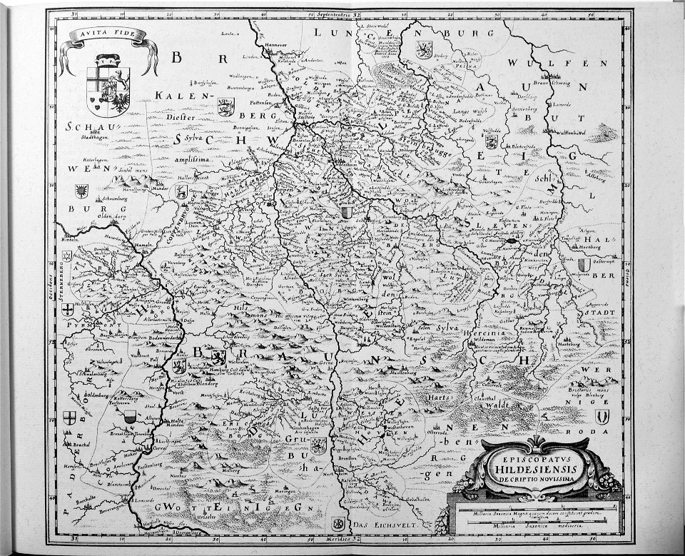
engravings of topographia saxoniae inferioris
old maps of hildesheim
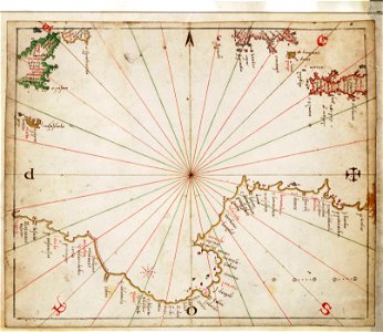
charts and maps of the royal museums greenwich
joan martines
ämteratlas des fürstentums lüneburg von johannes mellinger
mein
maps of the mexican drug war
drug cartels of mexico
watermills in leipzig
1650 in leipzig
geographical illustrations by coronelli
old maps of the peloponnese
11401 - 11500 of 357,549
Next page
/ 3576