Log in
All resources
Create a design
Tools
357,549 Free Images of Map
maps in the library of congress
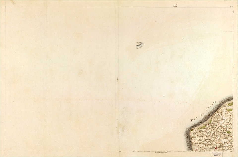
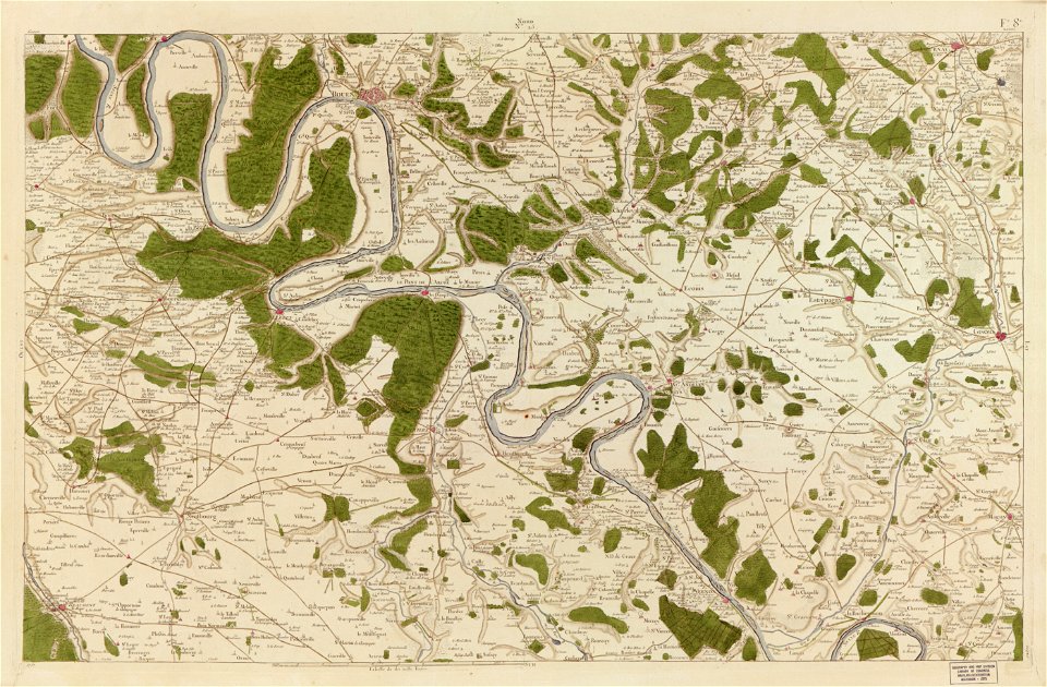
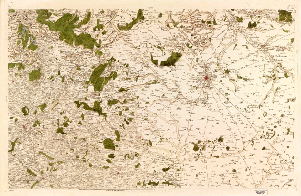
carte de france
maps in the stadsarchief amsterdam
claes jansz. visscher (ii)
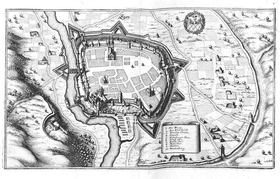
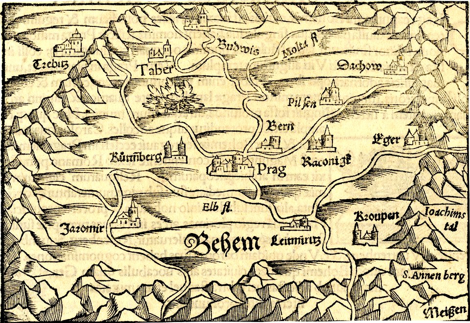
engravings of topographia bohemiae moraviae et silesiae
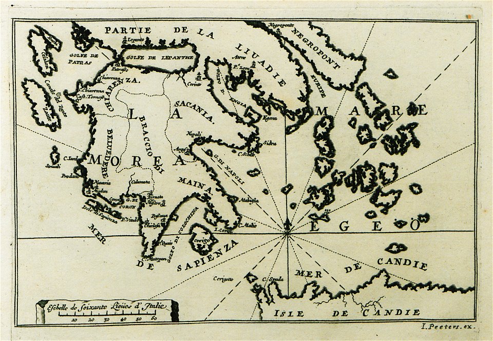
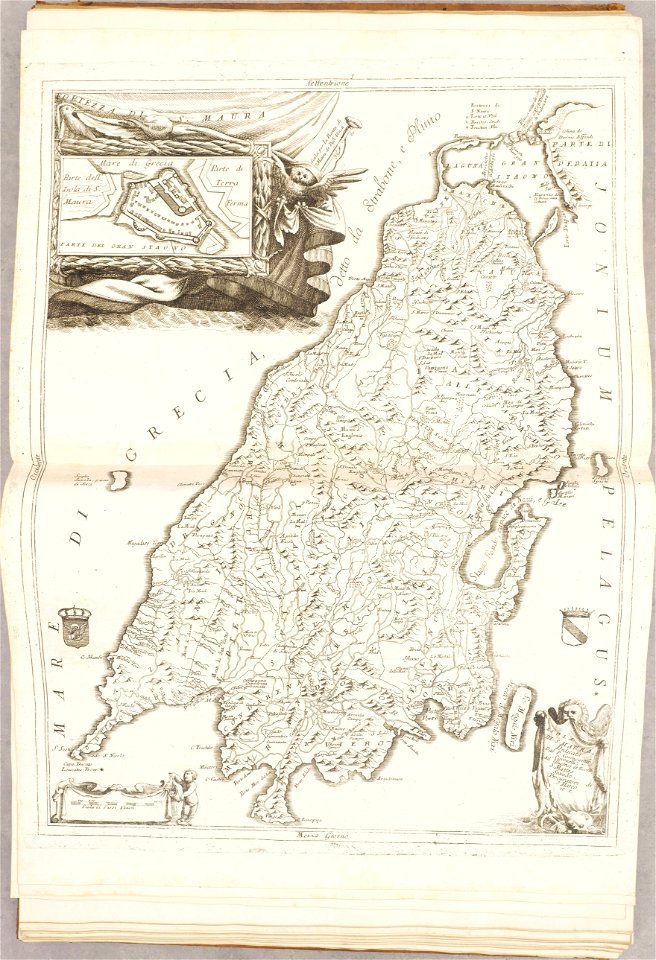
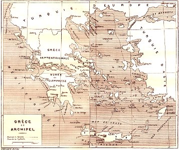
old maps of greece
1828
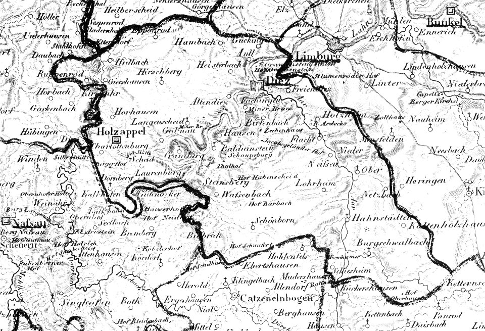
map „das herzogthum nassau“ by j.b. fischer
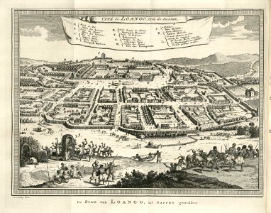
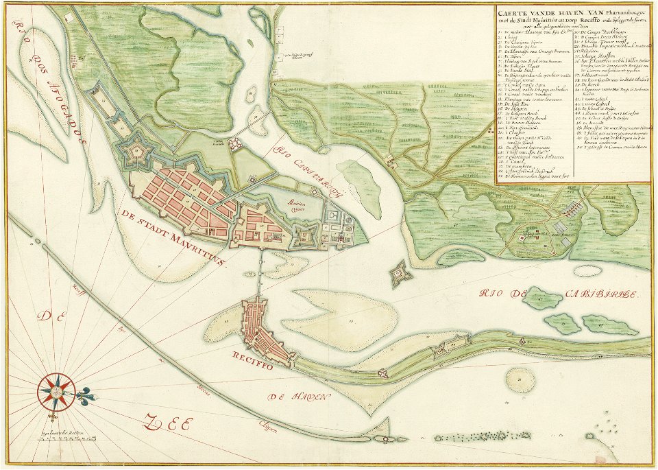
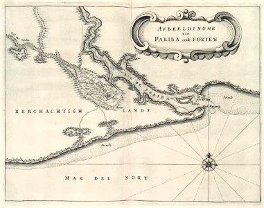
maps of the west-indische compagnie
geographical illustrations by coronelli
maps in the library of congress
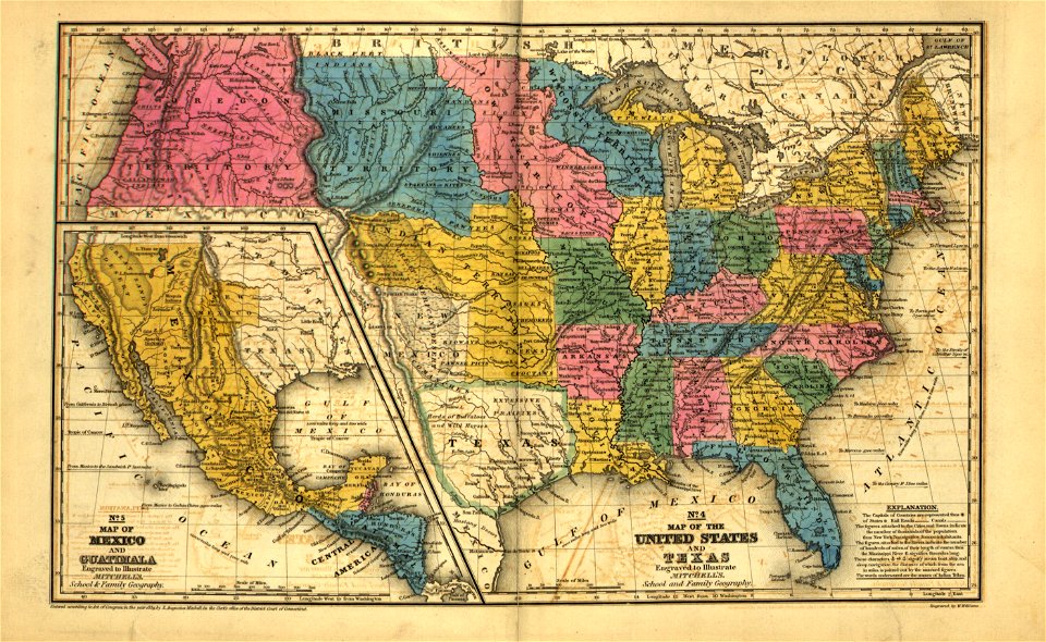
mitchell's school atlas
maps in the library of congress
mitchell's school atlas
engravings by matthäus merian
kassel
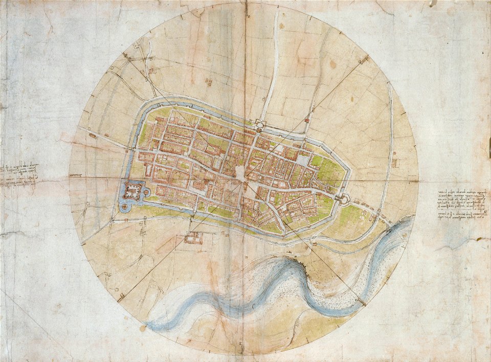
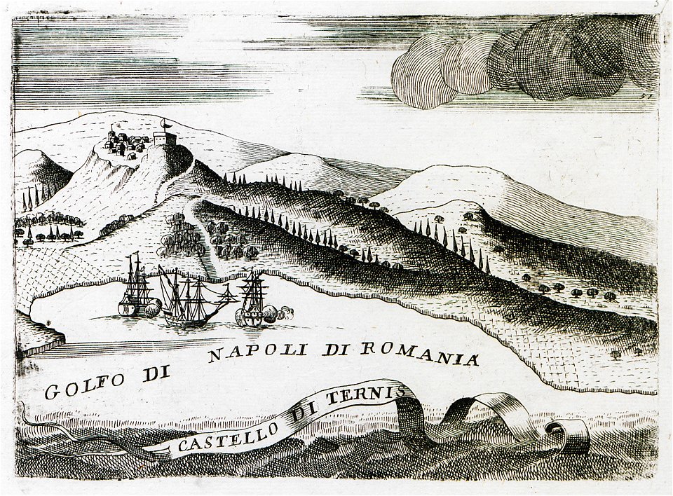
a map of imola (rcin 912284)
description des principales villes (1690)
old maps of greece
old maps of dutch brazil
1665
bibliothèque municipale de reims
rès. g 153
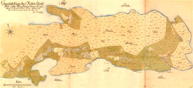
maps of lidingö
yttringe
johann christoph müller
maps of rumburk
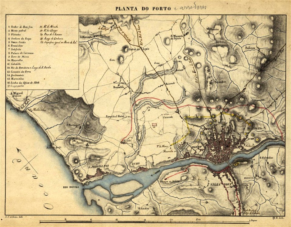
19th-century maps of porto
1830s
bibliothèque municipale de reims
rès. g 153
old map
surat
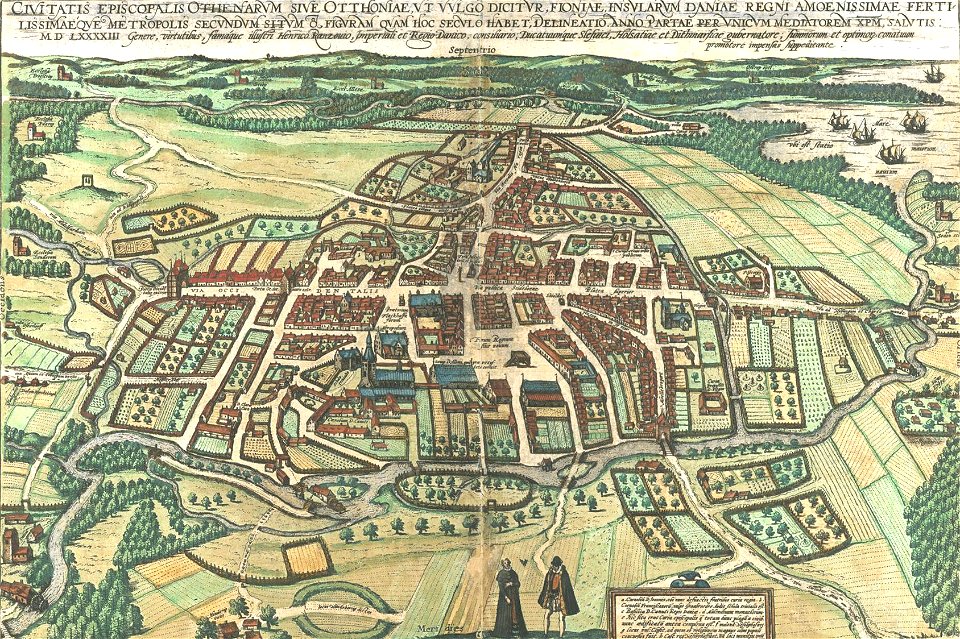
odense å
odense
l'isole più famose del mondo
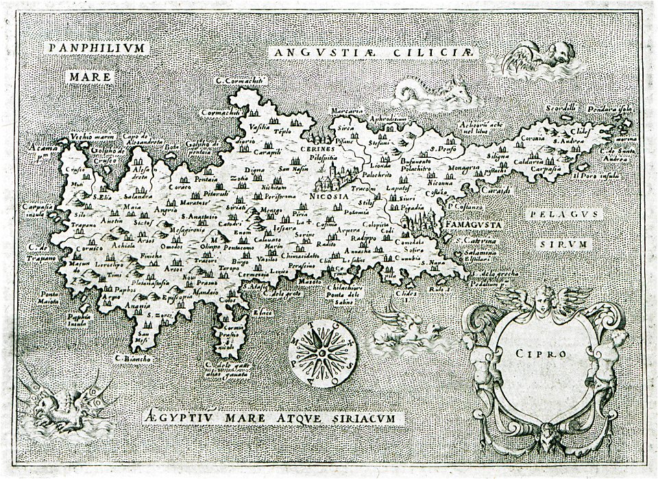
old maps of cyprus
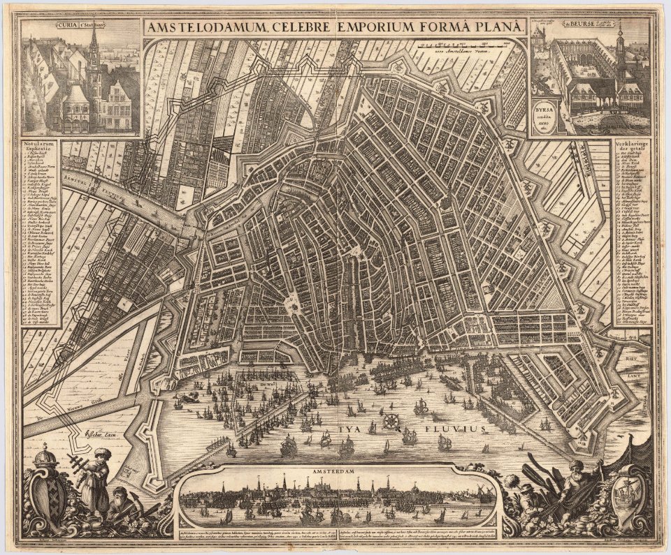
maps in the stadsarchief amsterdam
claes jansz. visscher (ii)
maps in the stadsarchief amsterdam
claes jansz. visscher (ii)
maps in the stadsarchief amsterdam
claes jansz. visscher (ii)
maps in the stadsarchief amsterdam
claes jansz. visscher (ii)
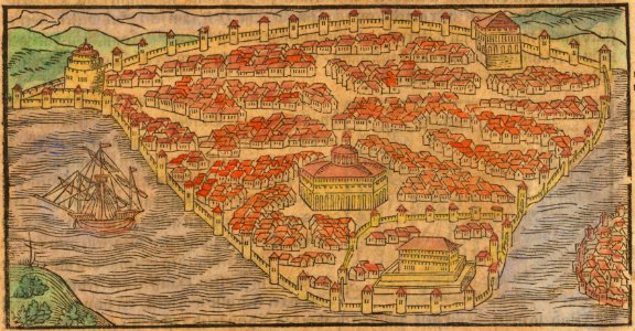
istanbul in the 16th century
maps by sebastian münster
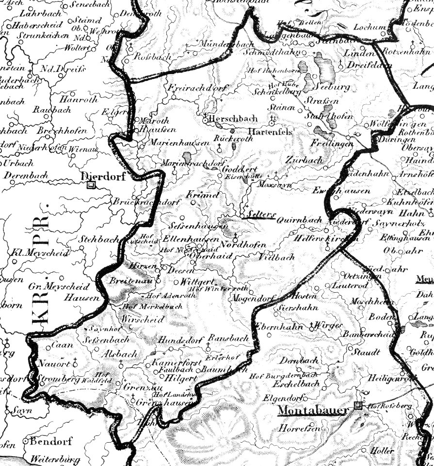
selters (westerwald)
1828
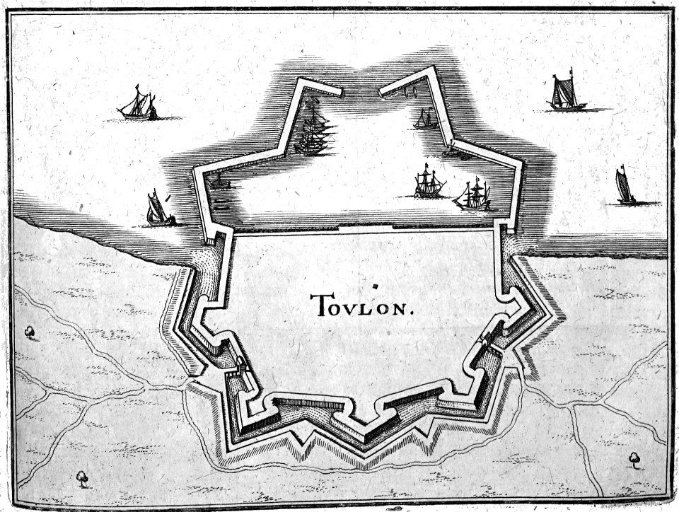
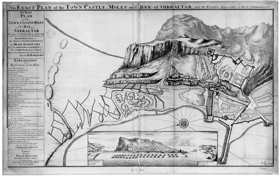
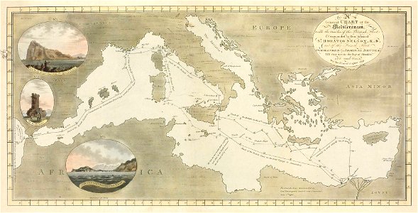
old maps of gibraltar
capture of gibraltar
1747)
maps of the west-indische compagnie
1747)
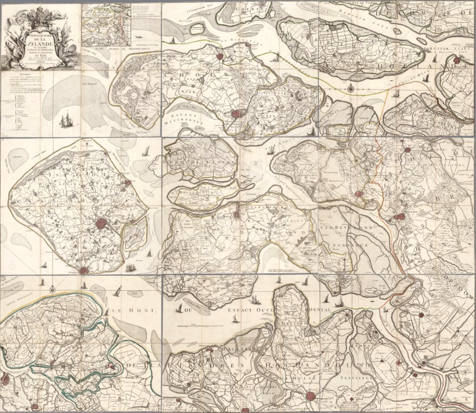
old maps of zeeland
copper engraving
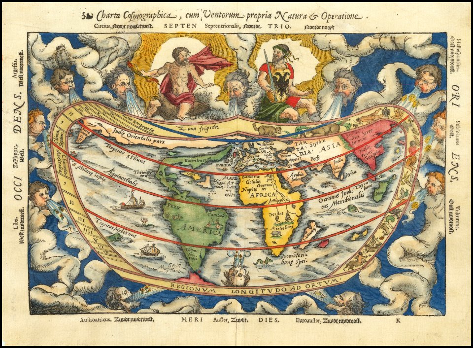
petrus apianus
giacomo cantelli da vignola
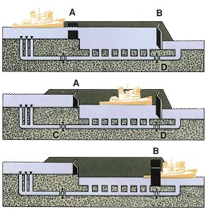
hiram m. chittenden locks maps and diagrams
ballard locks
chicago and the midwest
newberry library
geographical illustrations by coronelli
old maps of the peloponnese
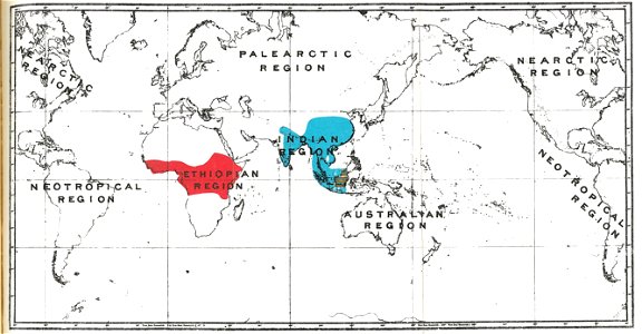
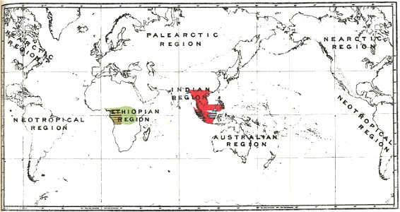
semnopithecus
colobus
gorilla
pongo
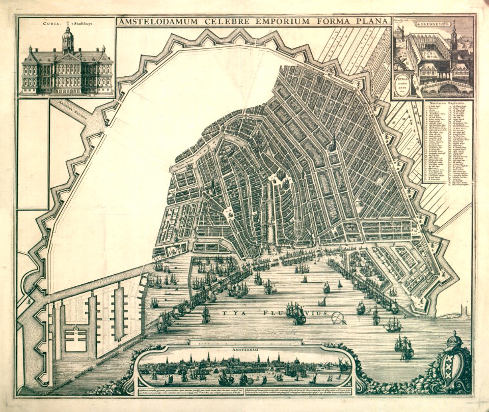
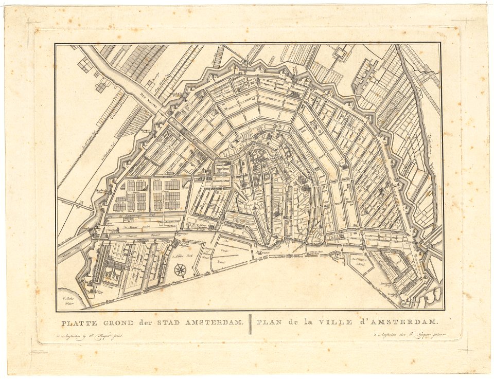
old maps of amsterdam
pierre fouquet junior
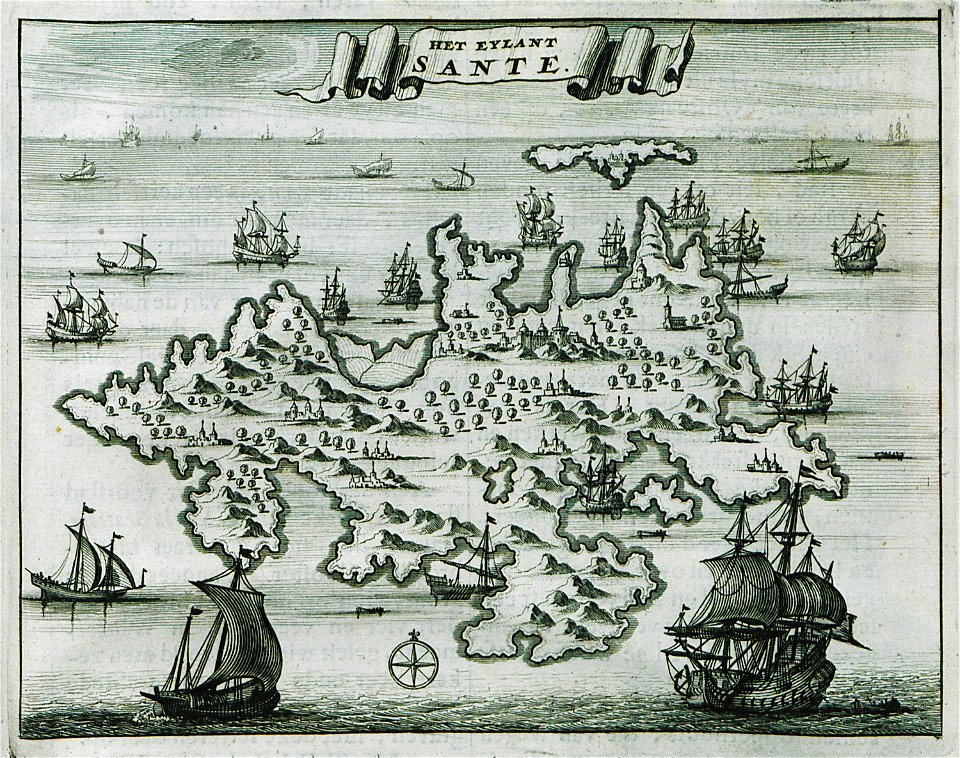
old maps of greece
sant
old maps of saxony
elector of saxony
fortified farms
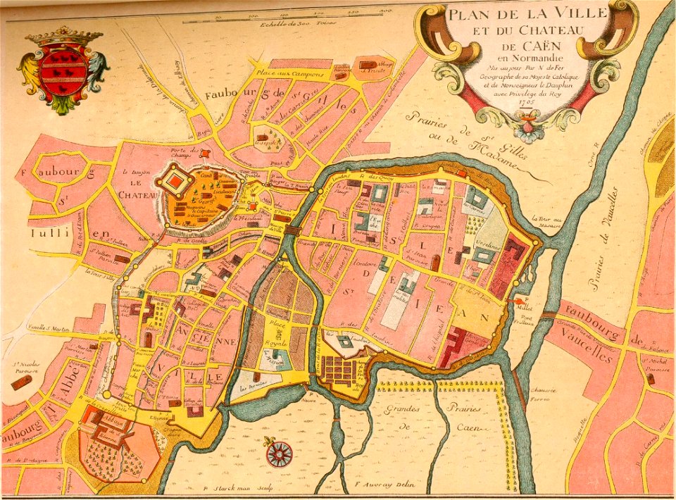
nicolas de fer
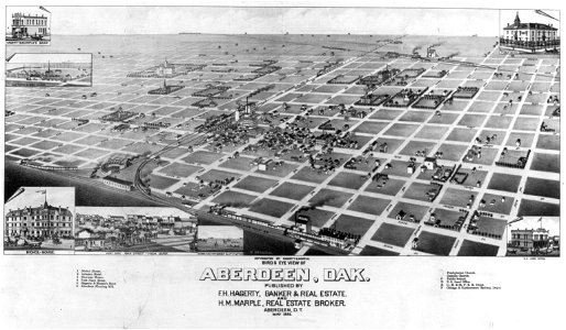
bird's eye view maps of south dakota
military bases of the united states
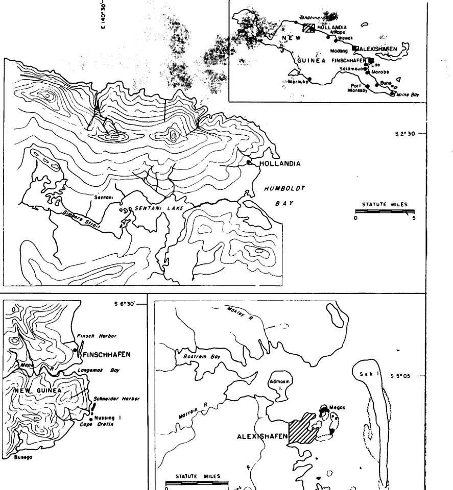
old maps of papua new guinea
atlante veneto (raremaps.com) volume 2
maps of lefkada
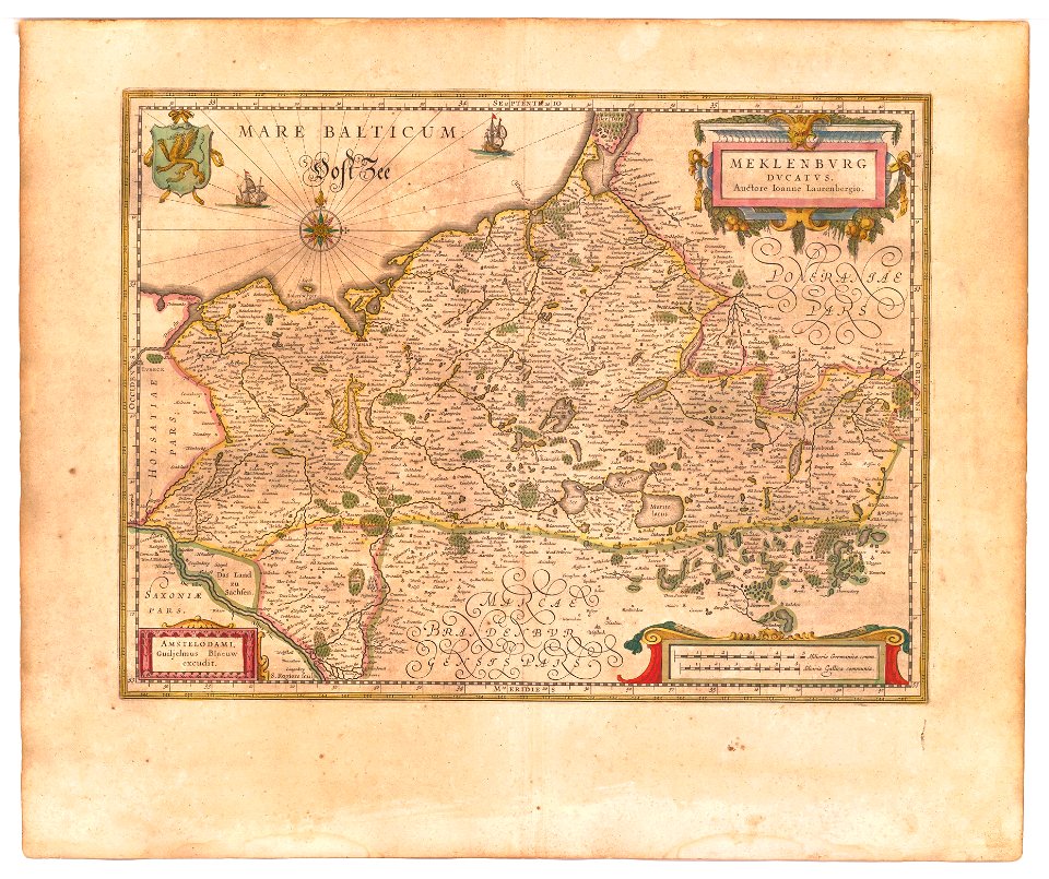
old maps of mecklenburg
atlas novus (blaeu)
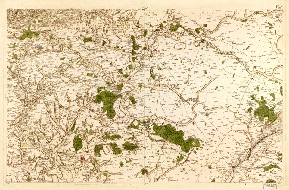
maps in the library of congress
carte de france
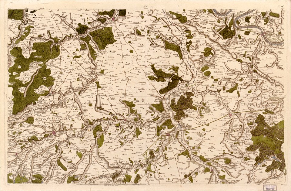
maps in the library of congress
carte de france
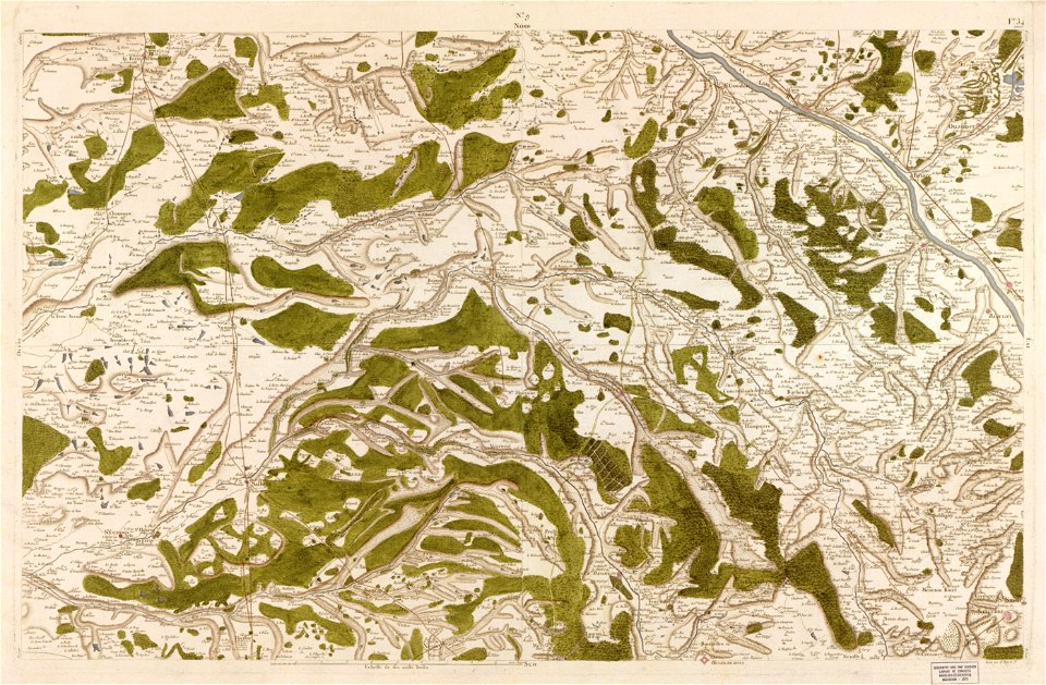
maps in the library of congress
carte de france
maps in the library of congress
carte de france
maps in the library of congress
carte de france
maps in the library of congress
carte de france
maps in the library of congress
carte de france
maps in the library of congress
carte de france
maps in the library of congress
carte de france
maps in the library of congress
carte de france
maps in the library of congress
carte de france
maps in the library of congress
carte de france
maps in the library of congress
carte de france
maps in the library of congress
carte de france
geographical illustrations by coronelli
old maps of the peloponnese
19th-century maps of new south wales
thomas livingstone mitchell
satirical prints in the british museum
satirical prints in the british museum
maps of gamla stan
1862 in stockholm
charte von schwaben (bohnenberger)
maps of heilbronn
map of ferrara by andrea bolzoni
ghetto (ferrara)
map of ferrara by andrea bolzoni
map of ferrara by andrea bolzoni
porta paola (ferrara)
engravings of topographia bohemiae moraviae et silesiae
history of cheb
maps made in the 18th century
gerard valck
printing
london
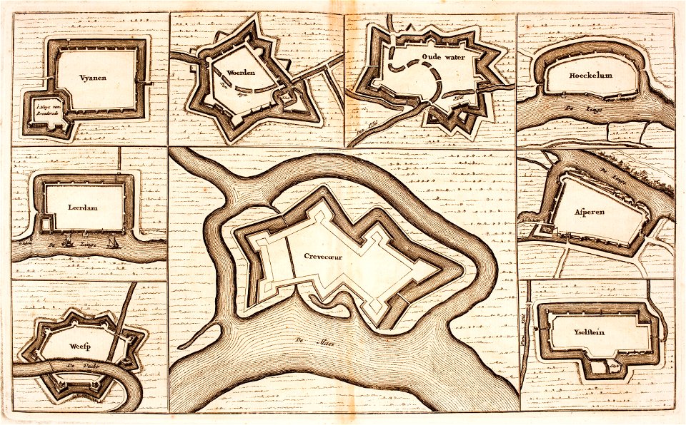
utrecht
leerdam
chromolithograph
new york city
chromolithograph
new york city
maps in the stadsarchief amsterdam
daniël veelwaard (i)
maps in the stadsarchief amsterdam
daniël veelwaard (i)
illustrations from the archipelago on fire by léon benett
old maps of greece
17th-century maps of the world
description de l'universe
ducatus sleswicum sive justia australis
germany
1828
diez
nastätten
1828
drawings in the museu antônio parreiras
charts and maps of the royal museums greenwich
maps by gerardus mercator
ursa major in art
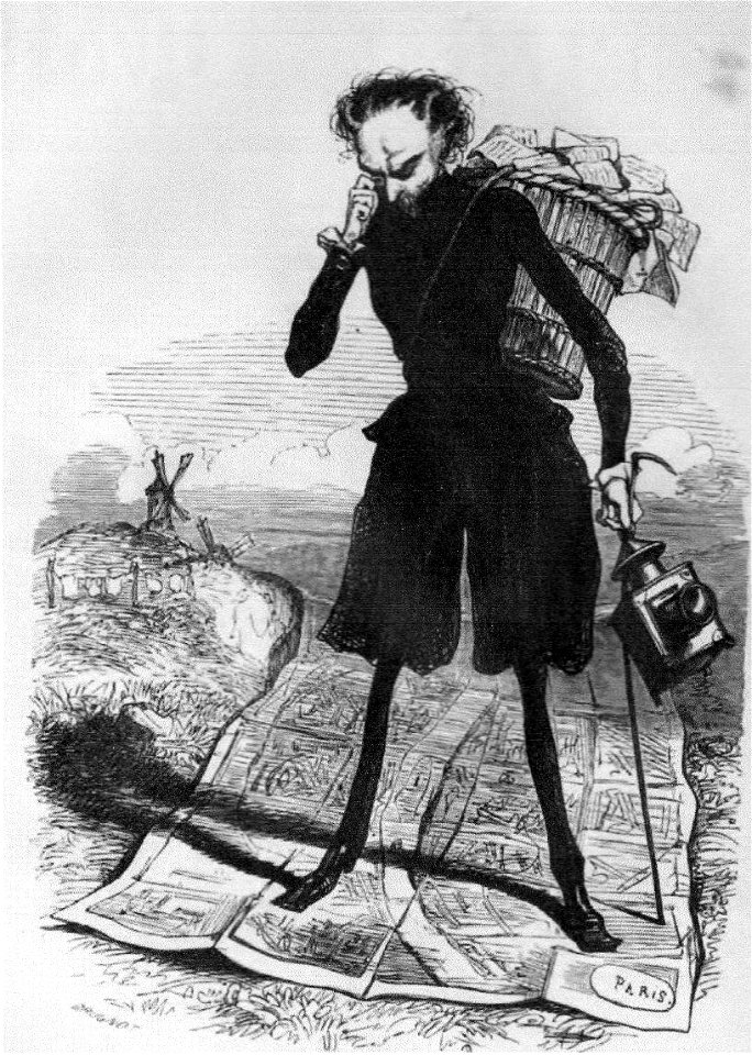
grandville (caricaturist)
people with maps in art
vignettes in 1830 vienna map series by carl graf vasquez
laimgrubenkirche
german prints in the rijksmuseum amsterdam
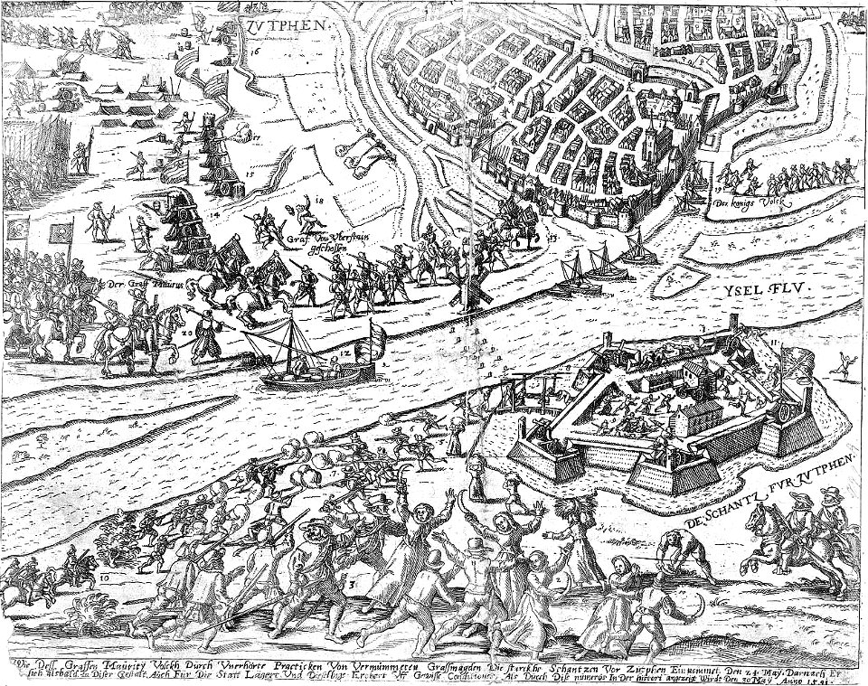
old maps of zutphen
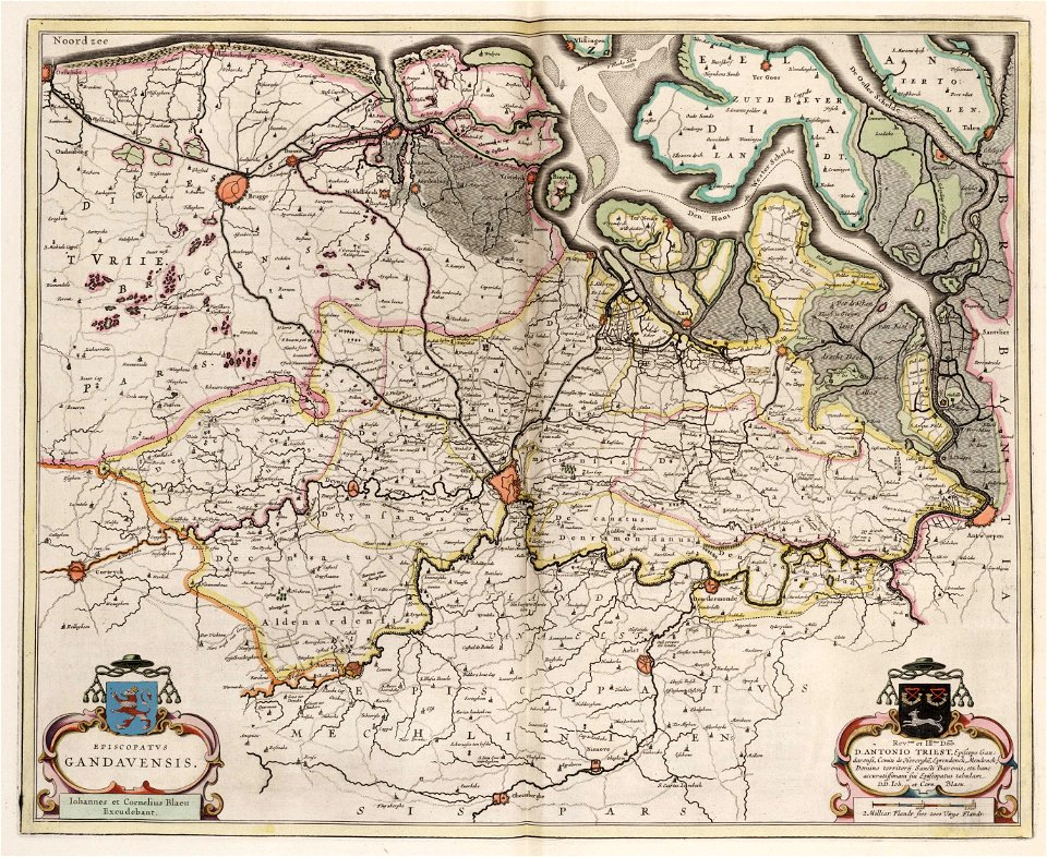
old maps of ghent
atlas van loon
charts and maps of the royal museums greenwich
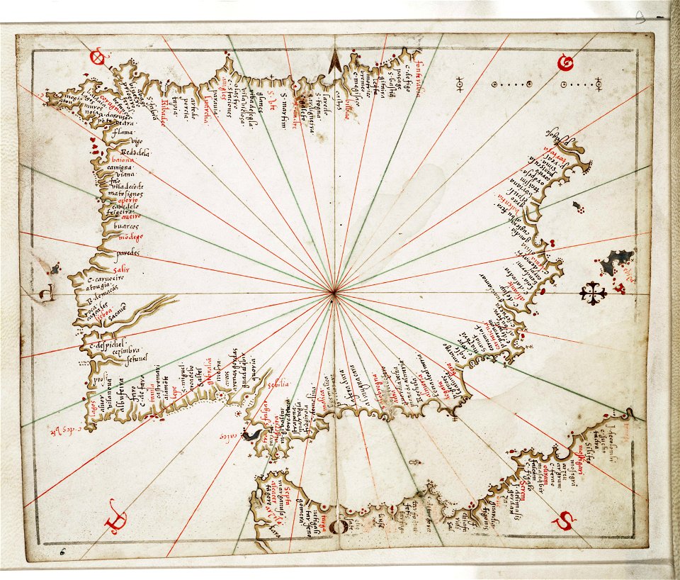
joan martines
engravings of topographia bohemiae moraviae et silesiae
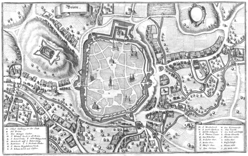
old maps of brno
maps and topographical views by joris hoefnagel
castle of szolnok
walter cooper dendy
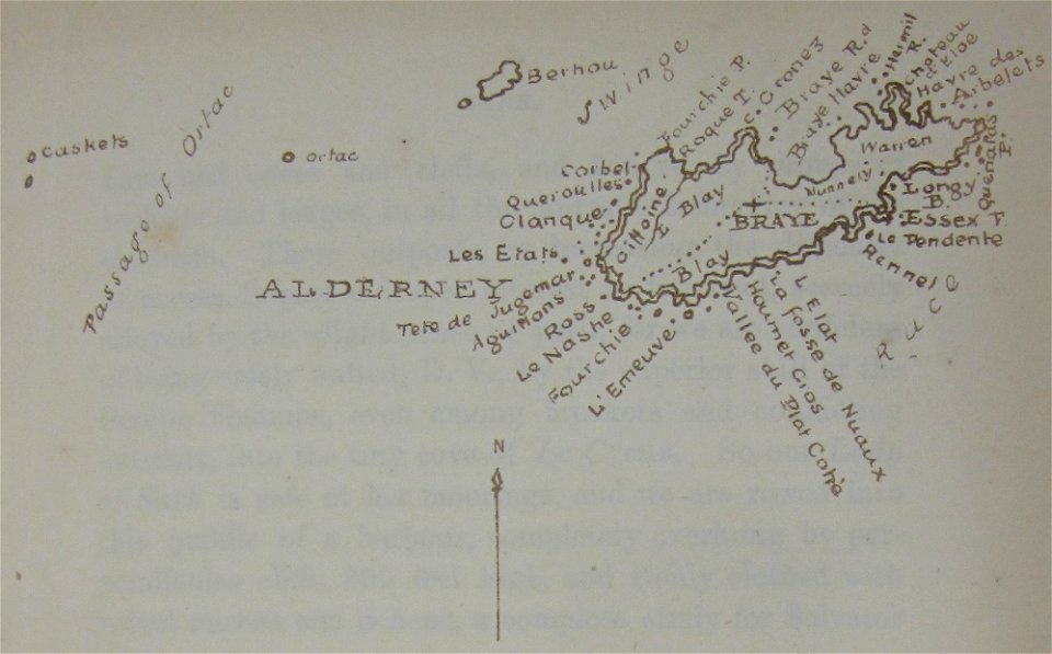
maps of alderney
östra yttringe gård
yttringe
engravings of topographia bohemiae moraviae et silesiae
history of kolín
illustrations of meroe pyramids
lepsius-projekt - maps
geographical illustrations by coronelli
old maps of the peloponnese
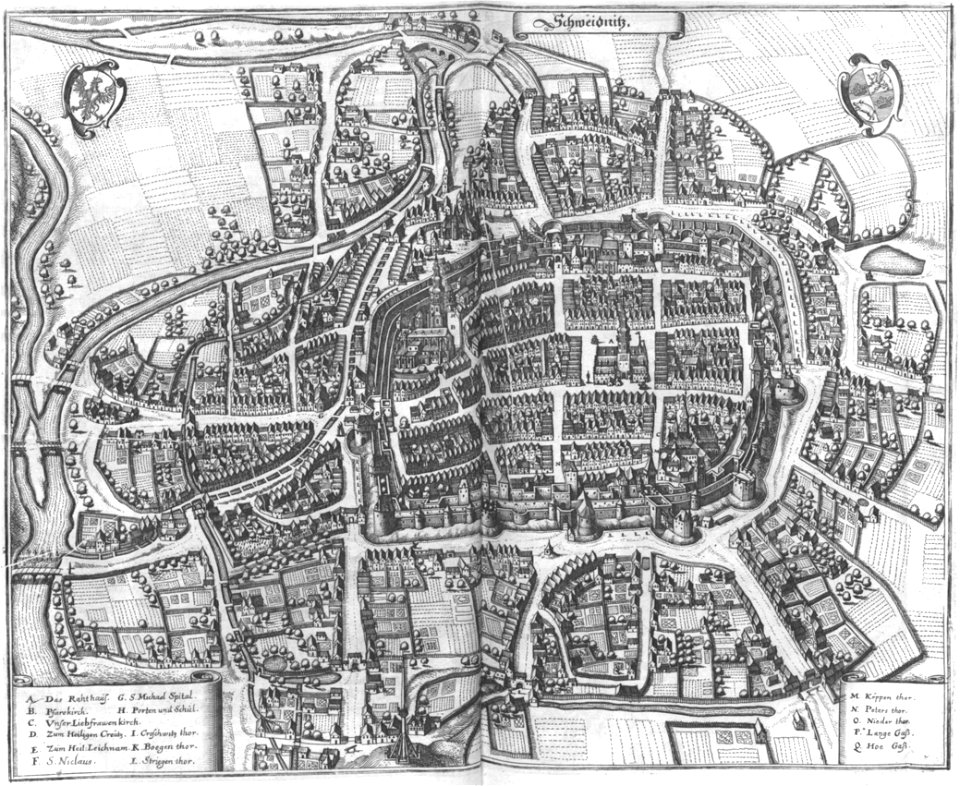
engravings of topographia bohemiae moraviae et silesiae
maps of świdnica
popular science monthly illustrations/volume 32
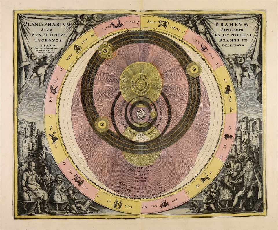
astronomical maps
book illustrations in the british museum
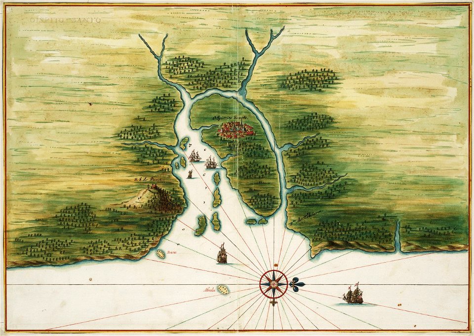
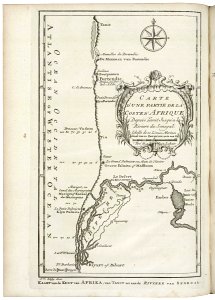
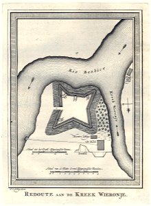
old maps of dutch brazil
1665
old maps of saint petersburg governorate
atlas of the russian empire (1800)
maps of württemberg
langenenslingen
maps in the british museum
giacomo cantelli da vignola
maps of the west-indische compagnie
1644
maps of the west-indische compagnie
1770
11501 - 11600 of 357,549
Next page
/ 3576