Log in
All resources
Create a design
Tools
357,549 Free Images of Map
maps
geography
countries
national
border
flag
svg
maps made in the 17th century
cartography
university of toronto wenceslas hollar digital collection
self-published work
map icons
maps
flag
maps
flag
maps
flag
maps
flag
maps on icons
2019
maps
flag
maps
flag
national
maps
maps
flag
birthday
maps
icons
maps
digging
maps
hedgehog
maps
birthday
maps
countries
world
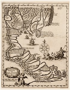
maps with cartouches
atlas van der hagen
atlas de wit 1698
frederick de wit
atlas de wit 1698
frederick de wit
images of venice by jacopo de' barbari
barbary
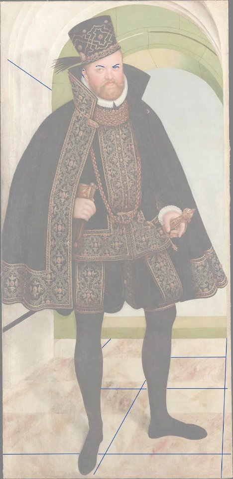
portrait of elector august by lucas cranach the younger (stadt- und bergbaumuseum freiberg)
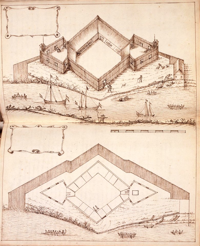
maps of the dutch east india company - indonesia
1646 drawings in indonesia
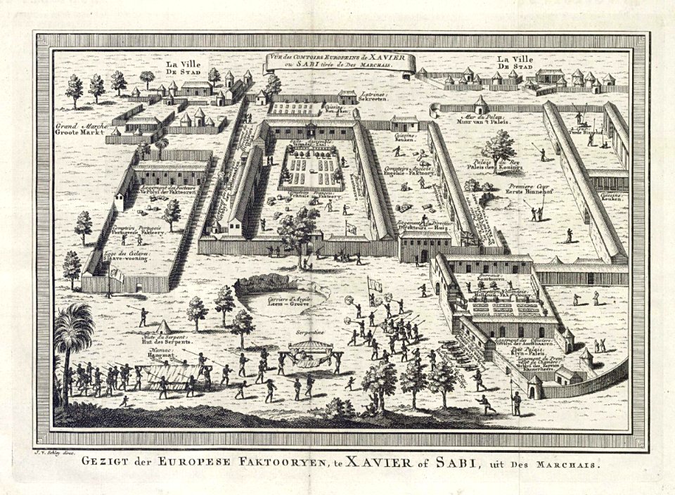
jacobus van der schley
savi
monasticon gallicanum
rouen in art
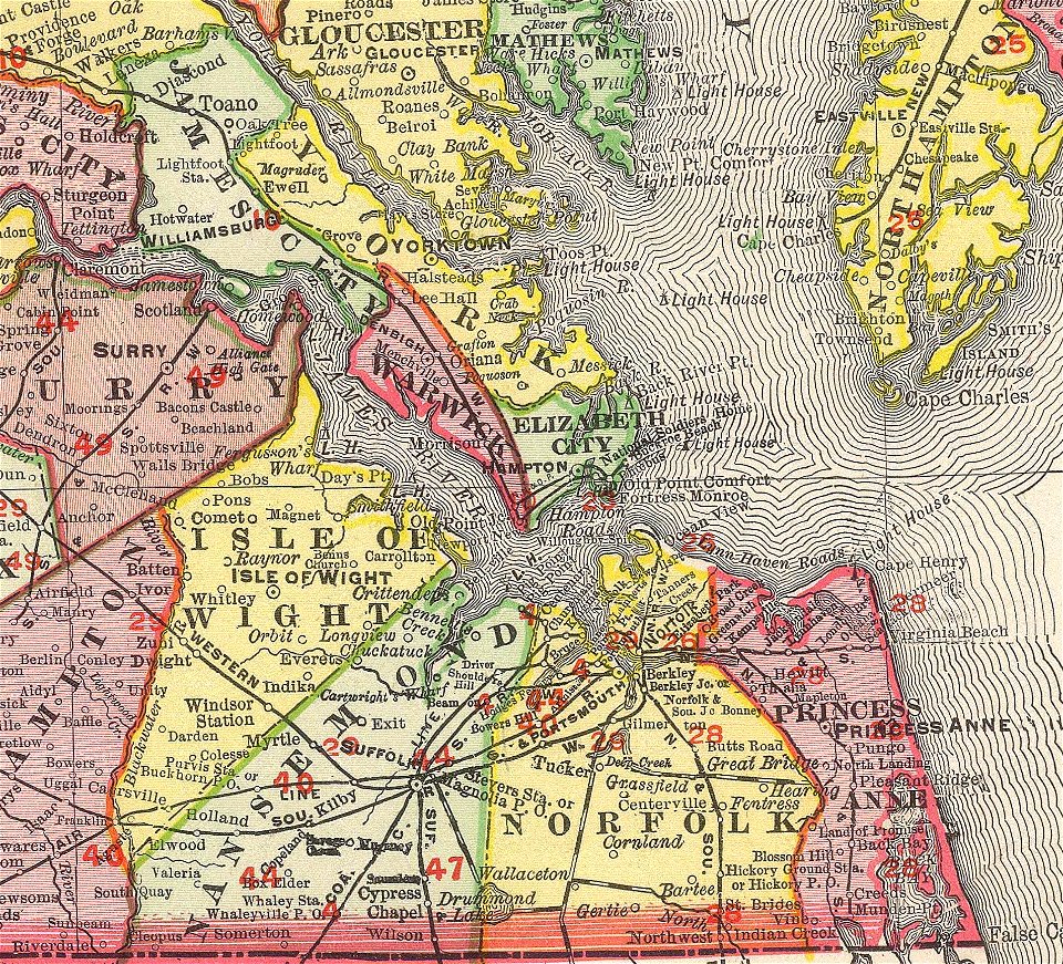
norfolk county
virginia
maps and topographical views by joris hoefnagel
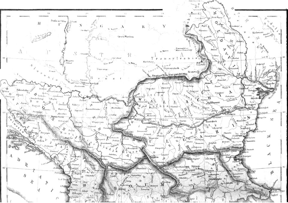
hungary
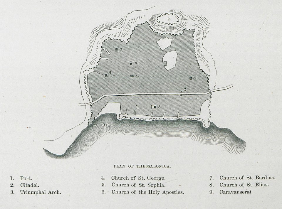
old maps of thessaloniki
day & son
california
san diego
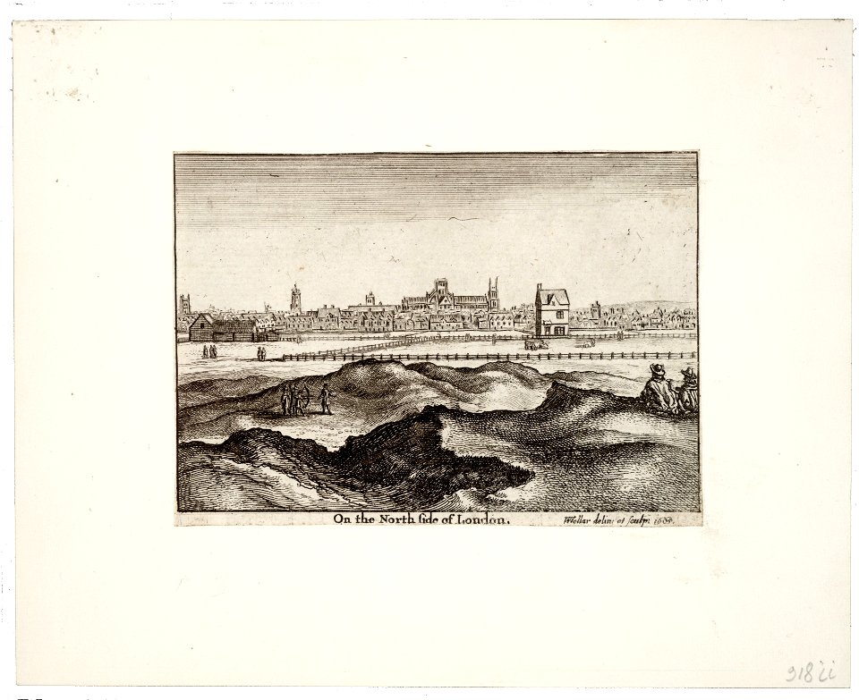
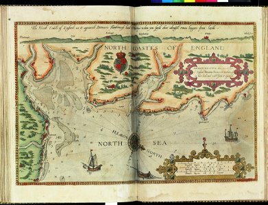
prints by wenzel hollar
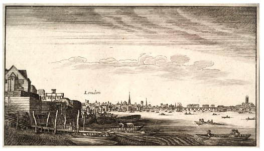
views of london
prints by wenzel hollar
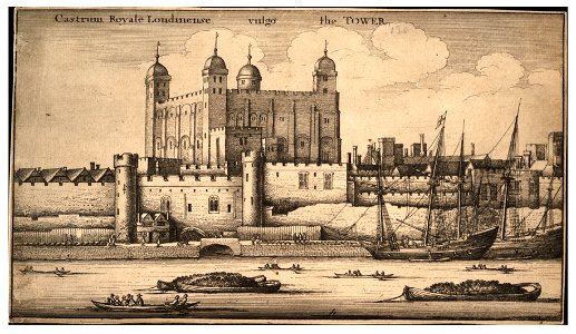
tower of london in art
architectural prints by wenzel hollar
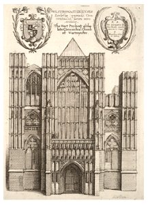
southwark cathedral
university of toronto wenceslas hollar digital collection
architectural prints by wenzel hollar
university of toronto wenceslas hollar digital collection
prints by wenzel hollar
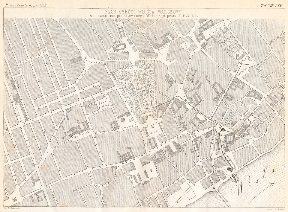
warsaw in the 1860s
feliks pancer
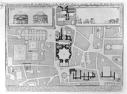
plans of the pantheon (rome)
old maps of rome
geography of füssen
tannheimer berge
pictorial history of the russian war 1854-5-6 by george dodd
balkan
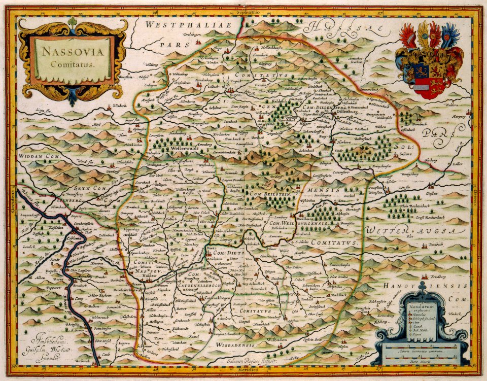
images from bau- und kunstdenkmäler des regierungsbezirks wiesbaden (volume 2)
maps of frankfurt-höchst
geographical illustrations by coronelli
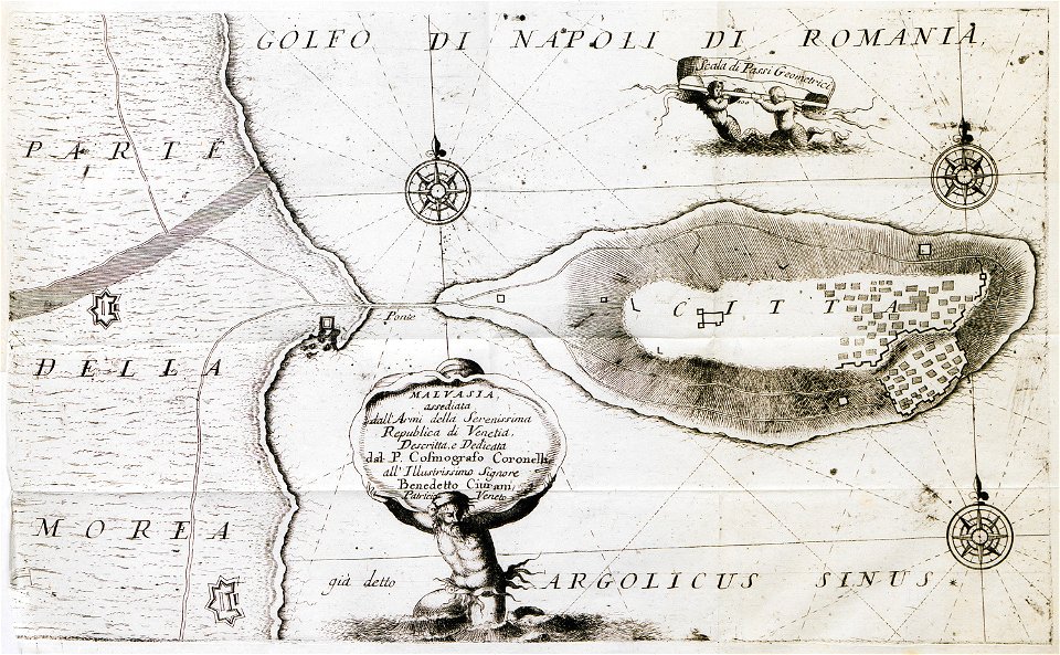
engravings of monemvasia
map of ferrara by andrea bolzoni
viale cavour (ferrara)
kutepov's hunting - illustrations (volume 1)
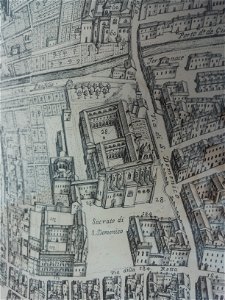
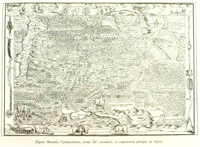
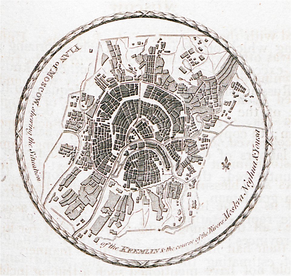
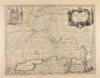
old maps of the tsardom of russia
maps by gerardus mercator
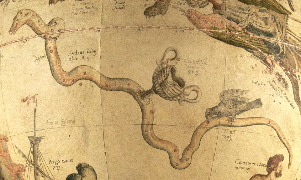
mercator celestial globe
atlantis magni tomus primus (biblioteca comunale di trento)
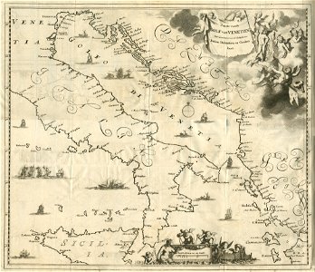
maps made in the 17th century
historical images of minsk
minsk
diego gutiérrez
renaissance
background
maps
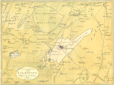
old maps of falköping
maps of falköping
eruption fissures of mount etna
fissure vents of mount etna
a.de la motraye's travels through europe, asia, and into part of africa (1723) by la mottraye
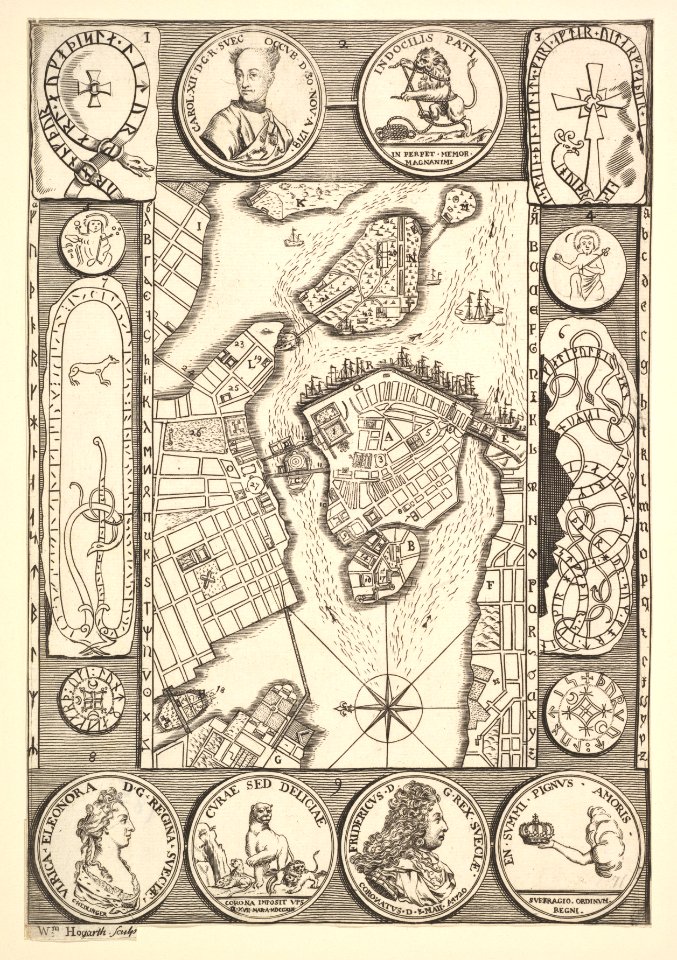
18th-century maps of stockholm
globe
maps
pirate
maps
antique
maps
frederick marryat
printing
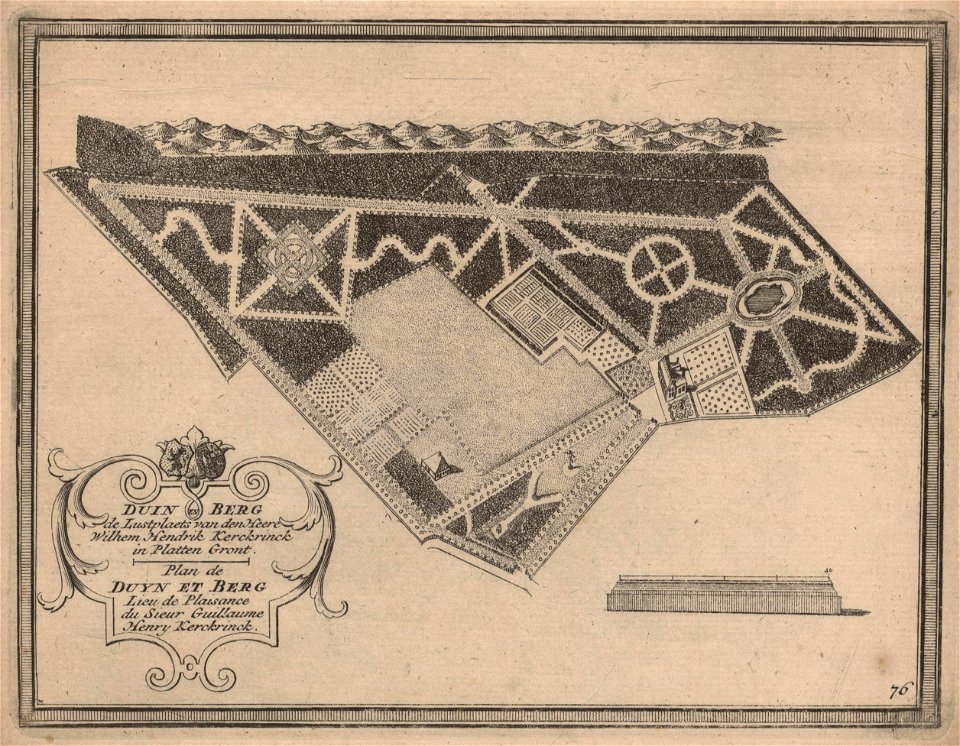
maps of zuid-kennemerland
hendrik de leth
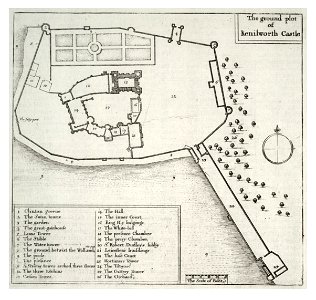
kenilworth castle in art
kenilworth castle
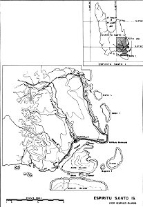
maps of islands of vanuatu
espiritu santo
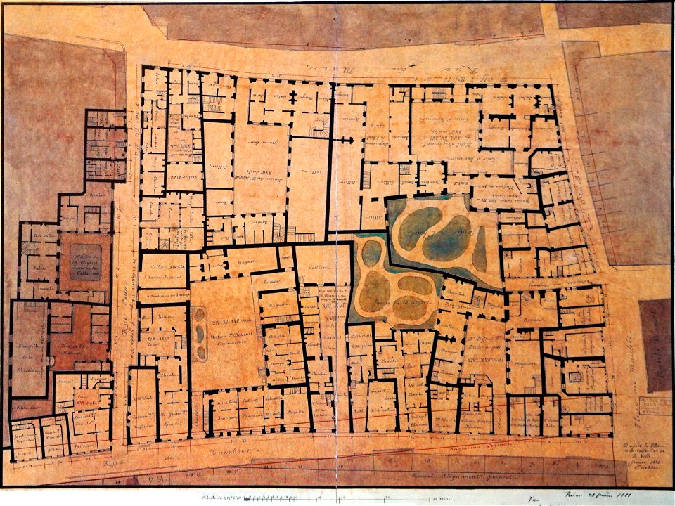
maps of reims
rue du marc
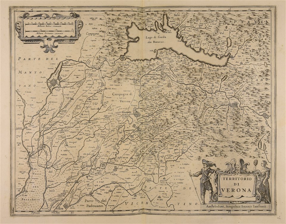
maps made in the 17th century
lake garda
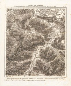
section schwarzenberg (1843)
oberreit
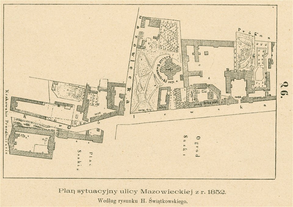
królewska street in warsaw
historical maps of warsaw
travels in various countries of europe
asia and africa
maps made in the 17th century
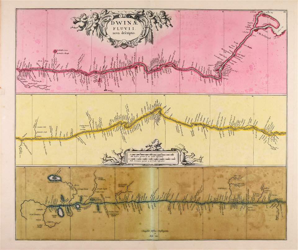
severnaya dvina river
maps made in the 17th century
nicolaes visscher ii
files from the bodleian libraries
napoleonic wars
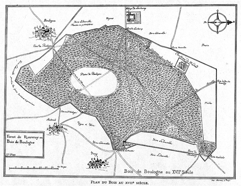
petite histoire du bois de boulogne
illustrations from h.corbel
atlas de wit 1698
frederick de wit
schauplatz der fünf theile der welt
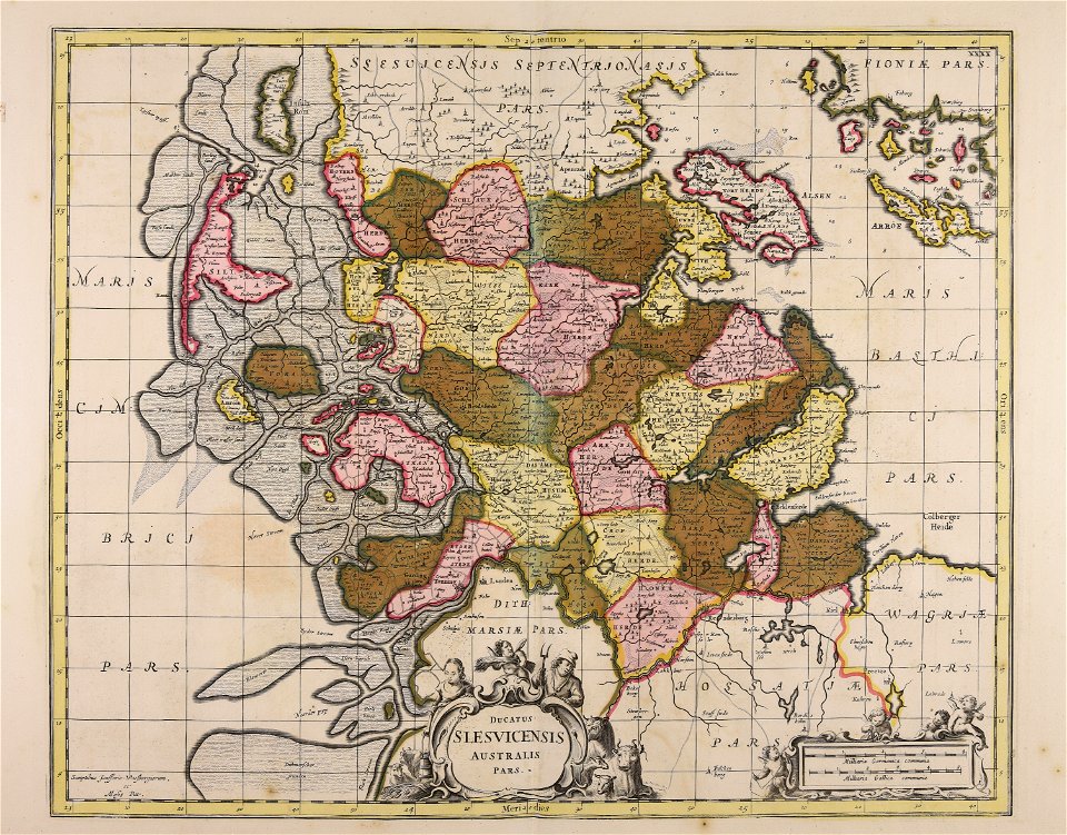
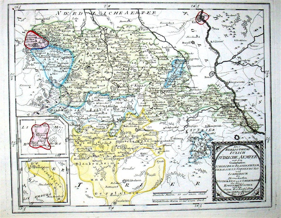
old maps of the duchy of jülich
john - president of the alpine club
piz languard
old maps of italy
olfert dapper
maps in the amsterdam museum
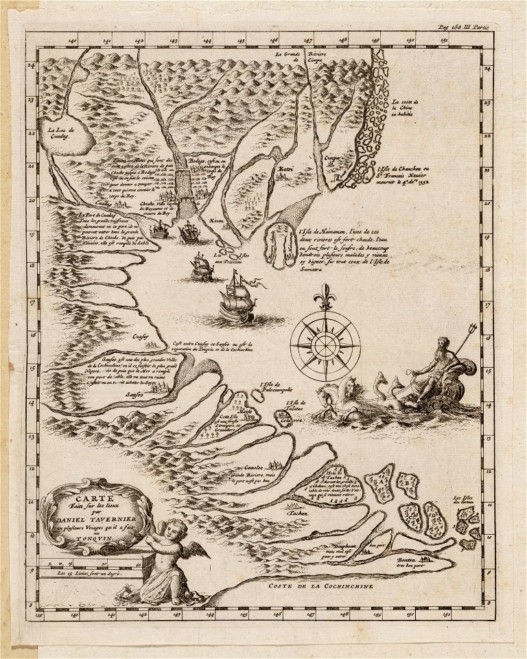
daniel tavernier
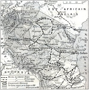
african theatre maps of world war i
no 3908 illustrations
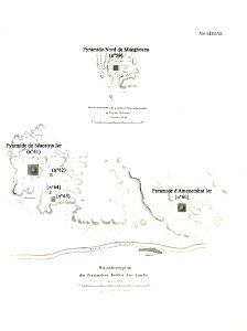
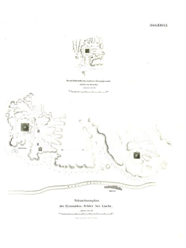
lepsius list of pyramids
pyramid of amenemhat i
charts and maps of the royal museums greenwich
lucas janszoon waghenaer
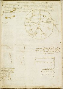
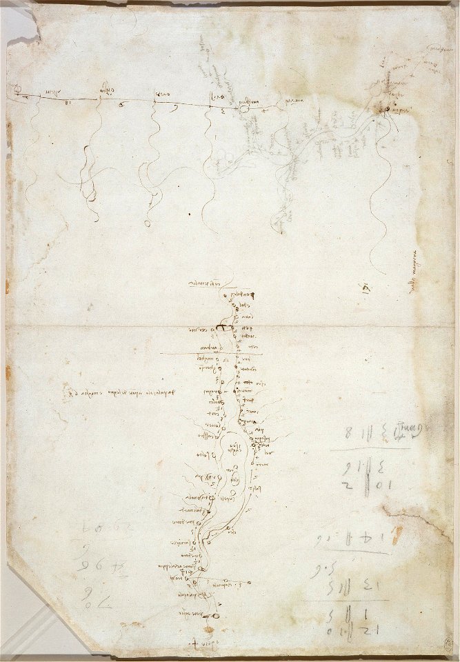
drawings by leonardo da vinci in the royal collection of the united kingdom
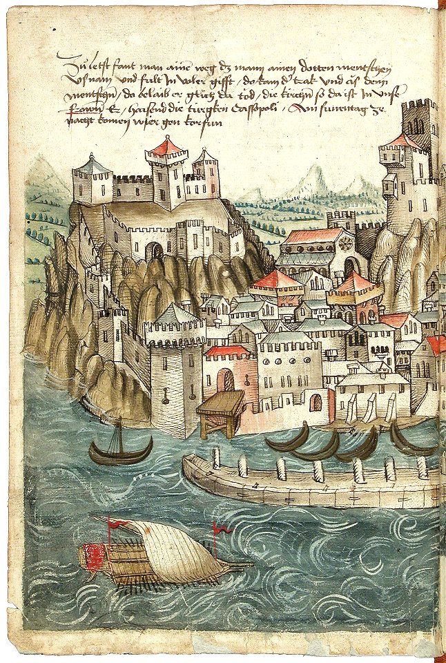
beschreibung der reise von konstanz nach jerusalem
old maps of corfu
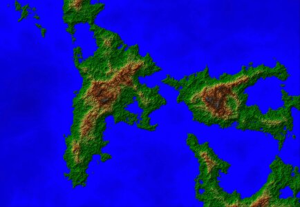
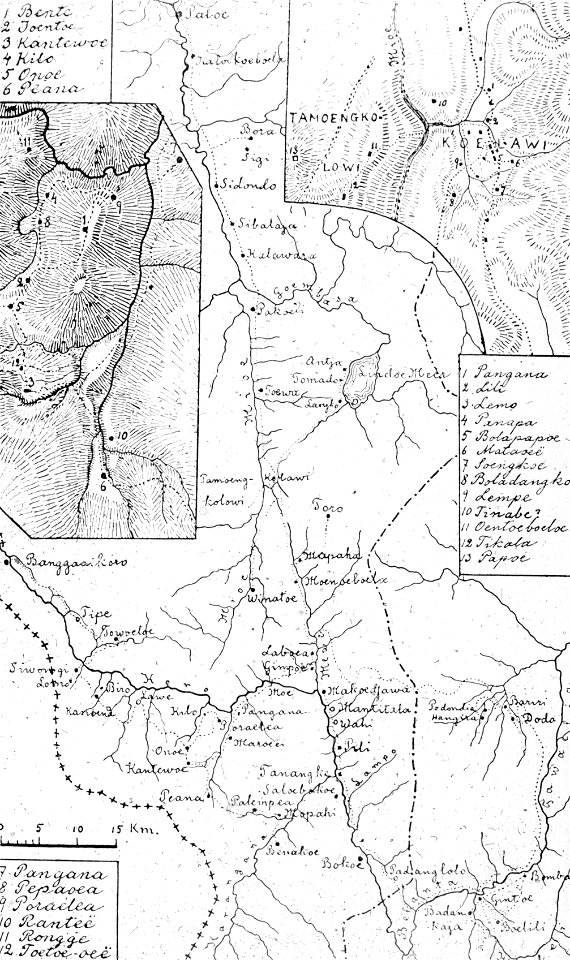
walter kaudern expedition to celebes
walter kaudern
printing
maps
background
maps
atlas de wit 1698
frederick de wit
capture of wesel 1629
büderich (wesel)
maps in the amsterdam museum
daniel tavernier
maps in the amsterdam museum
daniel tavernier
ms. ludwig xv 4 (getty museum) - bird book of hugo fouilloy
13th-century maps of the world
atlantis magni tomus primus (biblioteca comunale di trento)
maps made in the 17th century
maps and topographical views by joris hoefnagel
granada in art
bridge of arts
castles in art
prints in the royal collection of the united kingdom
don juan de austria
maps made in the 17th century
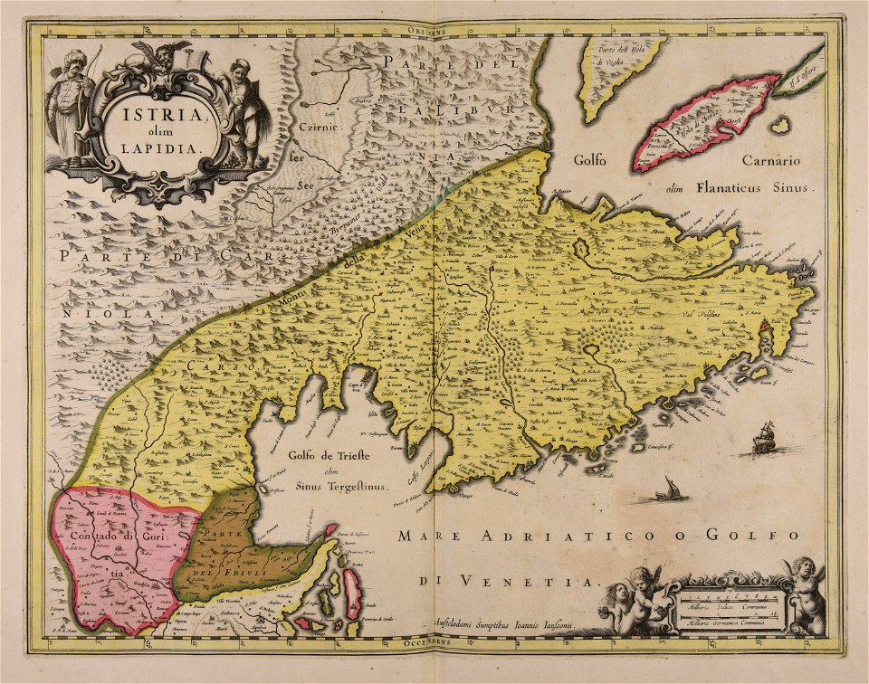
istria
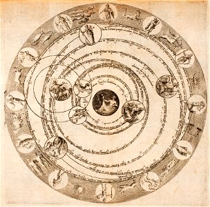
astronomical diagrams
zodiac
18th-century maps of russia
works by guillaume delisle
pyramid of amenemhat i
pyramid of senusret i
drawings by leonardo da vinci in the royal collection of the united kingdom
atlantis magni tomus primus (biblioteca comunale di trento)
maps made in the 17th century
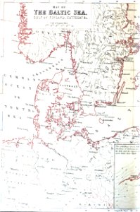
pictorial history of the russian war 1854-5-6 by george dodd
baltic sea
sofala province
kilwa kisiwani
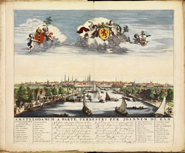
old maps of amsterdam
frederick de wit
greece
italy
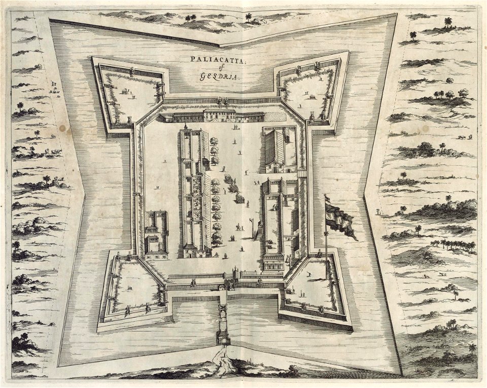
pulicat
1672
maps of voyages by christopher columbus
atlantic ocean
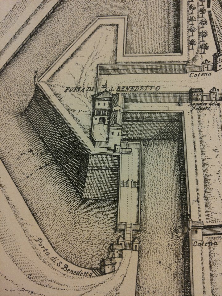
map of ferrara by andrea bolzoni
corso porta po (ferrara)
14201 - 14300 of 357,549
Next page
/ 3576