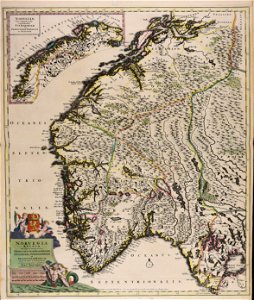
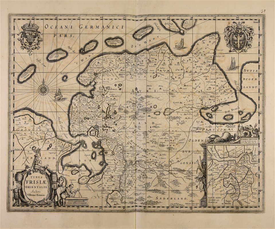
Log in
All resources
Create a design
492 Free Images of Maps Made In The 17th Century
atlantis magni tomus tertius (biblioteca comunale di trento)
maps by pieter schenk (i)
gerard valck
atlantis magni tomus quartus (biblioteca comunale di trento)
atlantis magni tomus quintus (biblioteca comunale di trento)
maps in skokloster castle
maps by nicolaes visscher i
atlantis magni tomus secundus (biblioteca comunale di trento)
drawings in the universitätsbibliothek salzburg
atlantis magni tomus primus (biblioteca comunale di trento)
maps made in the 18th century
maps made in the 17th century
maps made in the 17th century
maps in skokloster castle
maps made in the 17th century
maps in skokloster castle
maps made in the 17th century
maps by frederick de wit
maps made in the 17th century
maps in skokloster castle
maps made in the 17th century
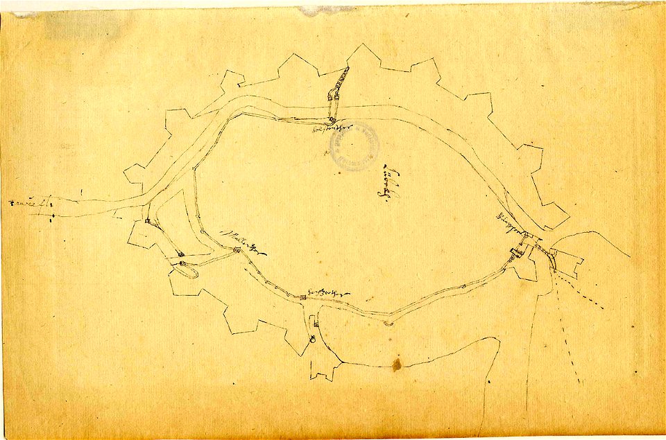
fort zeelandia
maps made in the 17th century
maps in skokloster castle
self-published work
cc-pd-mark
maps made in the 17th century
maps by nicolas sanson
maps made in the 17th century
maps in skokloster castle
maps made in the 17th century
maps in skokloster castle
drawings in the universitätsbibliothek salzburg
maps made in the 17th century
drawings in the universitätsbibliothek salzburg
maps made in the 17th century
maps made in the 17th century
ships on maps
drawings in the universitätsbibliothek salzburg
maps made in the 17th century
maps made in the 17th century
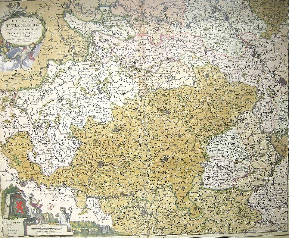
old maps of luxembourg
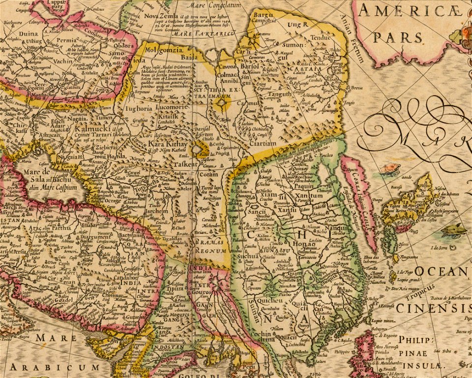
17th-century maps of china
old maps of asia
maps made in the 17th century
old maps of gdańsk
maps by frederick de wit
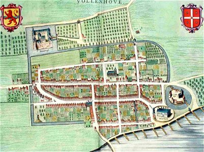
vollenhove
maps made in the 17th century
history of dorsten
maps made in the 17th century
1700 maps of lithuania
maps made in the 17th century
gerard valck
maps made in the 17th century
cornelis danckerts (i)
maps made in the 17th century
history of wolin
maps made in the 17th century
old maps of styria
maps made in the 17th century
gerard valck
prints from nieuhof ambassade vers la chine 1665 at the peace palace library
17th-century maps of china
maps made in the 17th century
jan janssonius
atlantis magni tomus tertius (biblioteca comunale di trento)
maps made in the 17th century
atlantis magni tomus secundus (biblioteca comunale di trento)
maps made in the 17th century
atlantis magni tomus quintus (biblioteca comunale di trento)
maps made in the 17th century
maps made in the 17th century
old maps of westphalia
maps made in the 17th century
gerard valck
maps by willem and johannes blaeu
ravelins
maps made in the 17th century
gerard valck
atlantis magni tomus tertius (biblioteca comunale di trento)
maps made in the 17th century
maps made in the 17th century
old maps of guinea
atlantis magni tomus tertius (biblioteca comunale di trento)
maps made in the 17th century
maps made in the 17th century
cornelis danckerts (i)
atlantis magni tomus tertius (biblioteca comunale di trento)
maps made in the 17th century
maps made in the 17th century
maps by nicolaes visscher i
maps made in the 17th century
gerard valck
maps made in the 17th century
maps by nicolas sanson
maps made in the 17th century
maps of the county of mark
maps made in the 17th century
nicolaes visscher ii
maps made in the 17th century
old maps of brandenburg
atlantis magni tomus tertius (biblioteca comunale di trento)
maps made in the 17th century
atlantis magni tomus tertius (biblioteca comunale di trento)
maps made in the 17th century
atlantis magni tomus tertius (biblioteca comunale di trento)
maps made in the 17th century
atlantis magni tomus tertius (biblioteca comunale di trento)
maps made in the 17th century
maps made in the 17th century
maps by nicolaes visscher i
maps made in the 17th century
maps by pieter schenk (i)
old maps of peru
gerard valck
maps made in the 17th century
maps by nicolaes visscher i
maps made in the 17th century
old maps of malta
maps made in the 17th century
jan janssonius
maps made in the 17th century
maps by nicolaes visscher i
maps made in the 17th century
gerard valck
maps made in the 17th century
maps by nicolaes visscher i
old maps of nuremberg
gerard valck
maps made in the 17th century
gerard valck
gerard valck
ciling
maps made in the 17th century
jan janssonius
maps made in the 17th century
old maps of skåne
gerard valck
spitsbergen
maps made in the 17th century
gerard valck
maps made in the 17th century
gerard valck
maps made in the 17th century
gerard valck
maps made in the 17th century
gerard valck
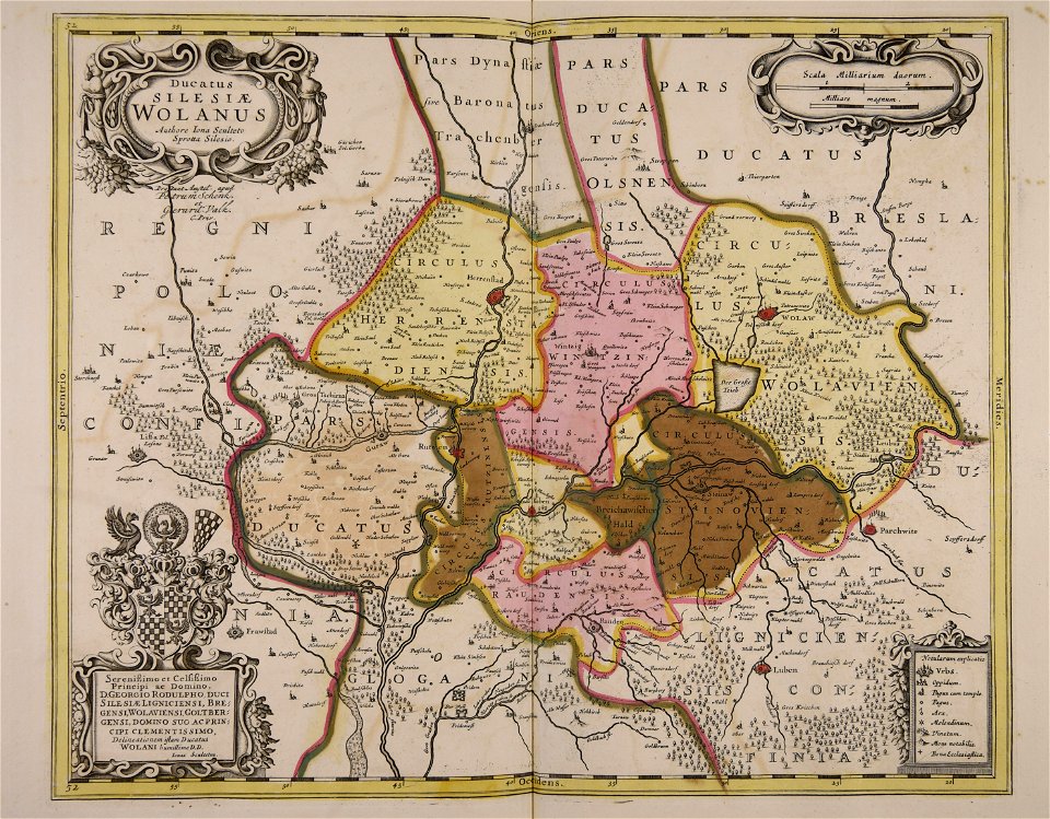
old maps of silesia
gerard valck
maps made in the 17th century
maps by pieter schenk (i)
maps made in the 17th century
maps by nicolaes visscher i
atlantis magni tomus quartus (biblioteca comunale di trento)
maps made in the 17th century
atlantis magni tomus tertius (biblioteca comunale di trento)
maps made in the 17th century
maps made in the 17th century
jan janssonius
maps made in the 17th century
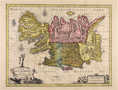
old maps of iceland
maps made in the 17th century
cornelis danckerts (i)
maps made in the 17th century
maps by johannes janssonius
maps by nicolaes visscher i
old maps of upper austria
old maps of silesia
gerard valck
maps made in the 17th century
maps by nicolaes visscher i
maps made in the 17th century
gerard valck
maps made in the 17th century
gerard valck
old maps of styria
gerard valck
maps made in the 17th century
gerard valck
maps made in the 17th century
gerard valck
old maps of silesia
gerard valck
maps made in the 17th century
gerard valck
maps made in the 17th century
gerard valck
maps made in the 17th century
gerard valck
maps made in the 17th century
gerard valck
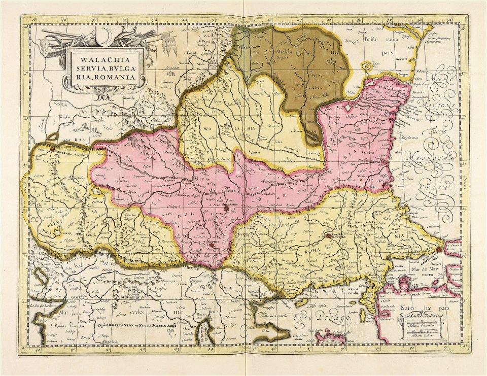
maps of romania
gerard valck
maps made in the 17th century
gerard valck
maps made in the 17th century
gerard valck
maps made in the 17th century
gerard valck
maps made in the 17th century
old maps of westphalia
maps made in the 17th century
jan janssonius
atlantis magni tomus quartus (biblioteca comunale di trento)
maps made in the 17th century
atlantis magni tomus quartus (biblioteca comunale di trento)
maps made in the 17th century
maps made in the 17th century
nicolaes visscher ii
1 - 100 of 492
Next page
/ 5