Log in
All resources
Create a design
32 Free Images of Maps By Nicolaes Visscher I
maps made in the 17th century
atlantis magni tomus tertius (biblioteca comunale di trento)
atlantis magni tomus quintus (biblioteca comunale di trento)
copper engraving
beavers in art
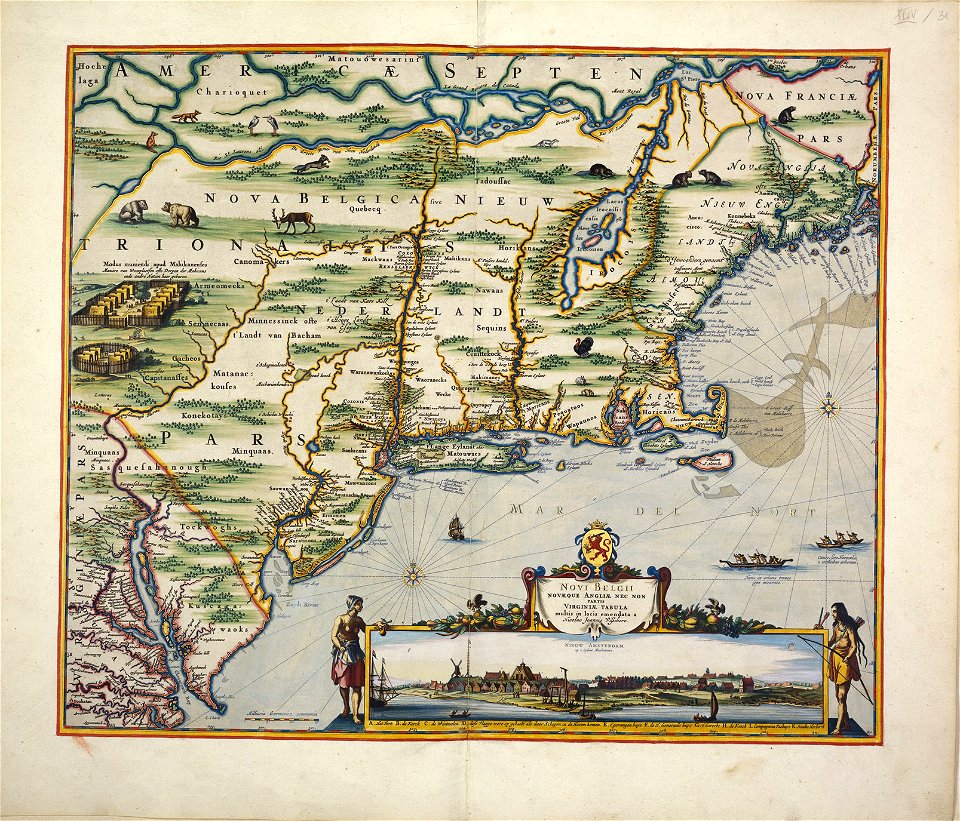
old maps of new york (state)
adriaen van der donck
1685 maps
maps of new england
old maps of new france
maps by nicolaes visscher i
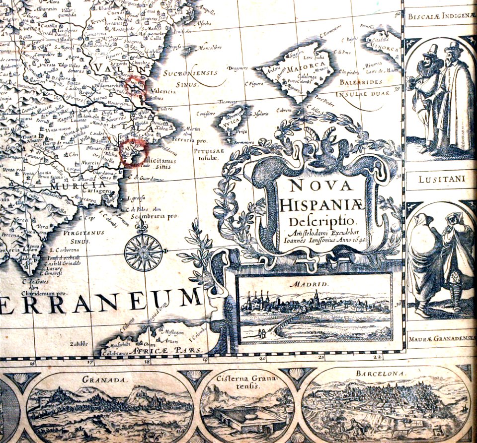
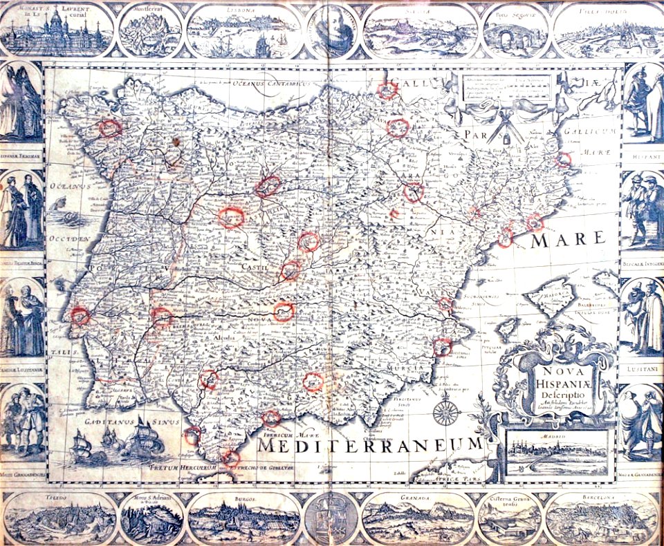
old maps of spain
maps by nicolaes visscher i
maps with cartouches
old maps of the iberian peninsula
maps by nicolaes visscher i
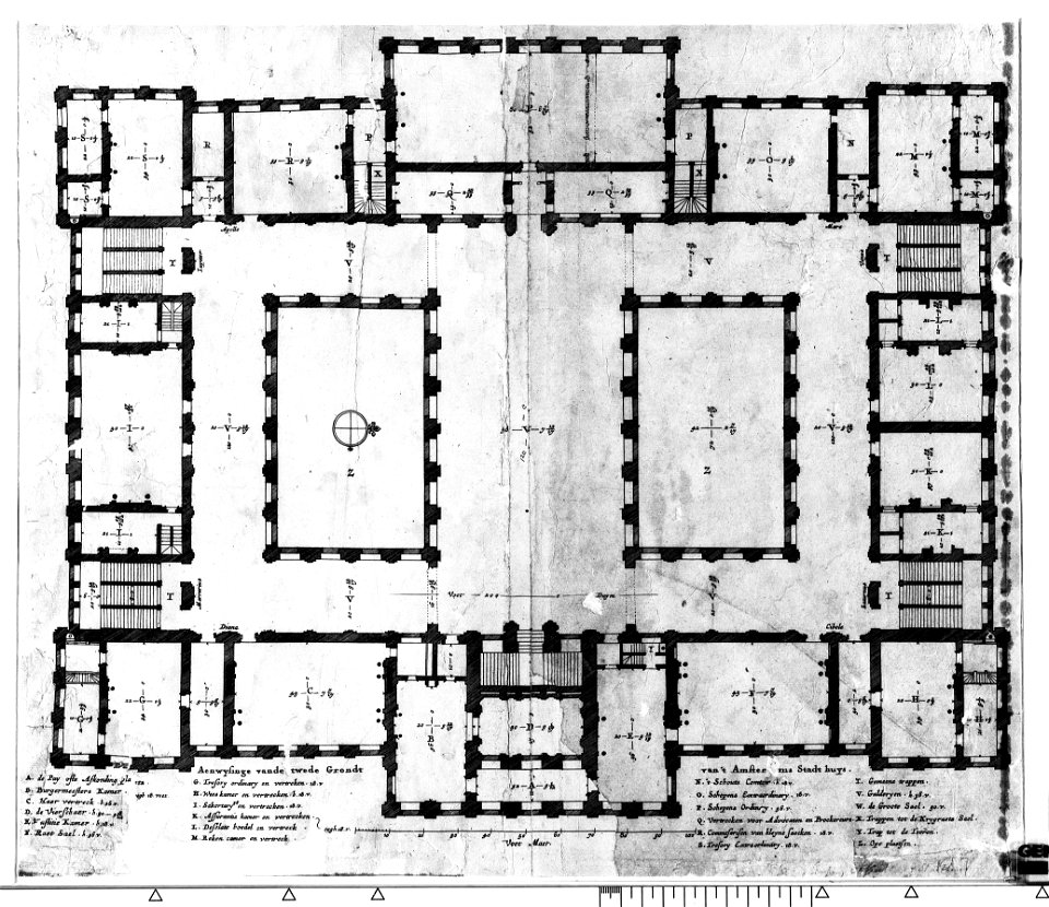
construction drawings in the stadsarchief amsterdam
nicolas visscher
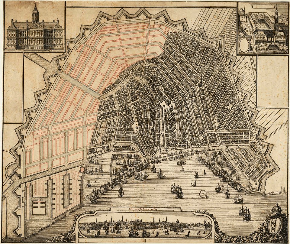
maps in the stadsarchief amsterdam
maps by nicolaes visscher i
decorative map
german bible
construction drawings in the stadsarchief amsterdam
the conspiracy of claudius civilis
self-published work
cc-pd-mark
dancker danckerts
joan blaeu
maps by nicolaes visscher i
claes jansz. visscher (ii)
maps made in the 17th century
maps by nicolaes visscher i
maps made in the 17th century
maps by nicolaes visscher i
maps made in the 17th century
maps by nicolaes visscher i
maps made in the 17th century
maps by nicolaes visscher i
maps made in the 17th century
maps by nicolaes visscher i
maps made in the 17th century
maps by nicolaes visscher i
maps by nicolaes visscher i
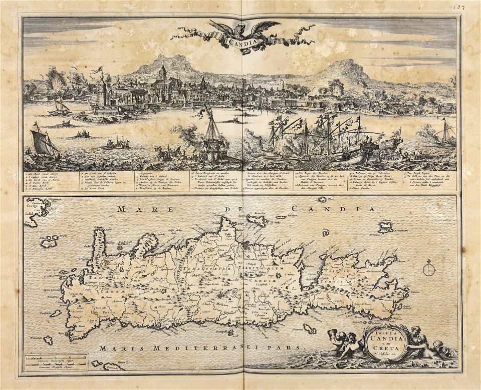
creta
maps by nicolaes visscher i
old maps of upper austria
maps made in the 17th century
maps by nicolaes visscher i
copper engraving
beavers in art
maps made in the 17th century
maps by nicolaes visscher i
maps made in the 17th century
maps by nicolaes visscher i
maps made in the 17th century
maps by nicolaes visscher i
copper engraving
beavers in art
maps made in the 17th century
maps by nicolaes visscher i
maps by nicolaes visscher i
old maps of greece
maps made in the 17th century
maps by nicolaes visscher i
atlantis magni tomus quartus (biblioteca comunale di trento)
maps by nicolaes visscher i
maps made in the 17th century
maps by nicolaes visscher i
copper engraving
beavers in art
old maps of ireland
ireland
historical
history
1 - 32 of 32
/ 1