Log in
All resources
Create a design
17 Free Artworks of Old Maps Of Ireland
historical national coats of arms of ireland
maps by pieter schenk (i)
atlantis magni tomus secundus (biblioteca comunale di trento)
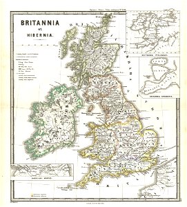
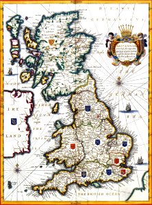
old maps of the british isles
united kingdom of great britain and ireland
university of toronto wenceslas hollar digital collection
maps by wenzel hollar
atlante veneto (raremaps.com) volume 2
gerard valck
maps made in the 17th century
images from the new york public library
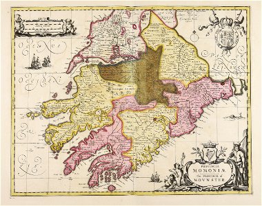
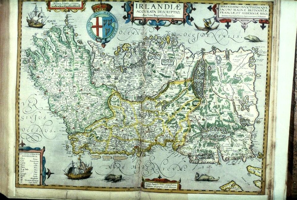
old maps of ireland
university of toronto wenceslas hollar digital collection
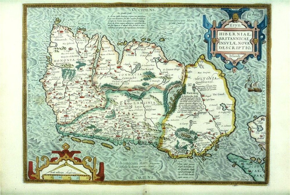
old maps of ireland
atlante veneto (raremaps.com) volume 2
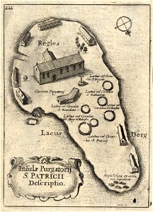
old maps of ireland
atlante veneto (raremaps.com) volume 2
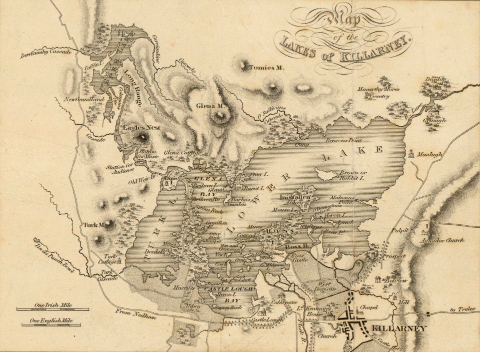
old maps of ireland
old maps of ireland
gerard valck
maps by willem and johannes blaeu
old maps of the british isles
old maps of the british isles
karl spruner von merz
old maps of ireland
gerard valck
university of toronto wenceslas hollar digital collection
old maps of ireland
images uploaded as part of nlw - wmuk collaboration
cc-zero
files from the bodleian libraries
old maps of ireland
old maps of ireland
ireland
hatched coats of arms
old maps of ireland
files from the bodleian libraries
old maps of ireland
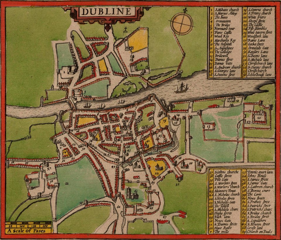
st mary's church
dublin
colonial
global
old maps of the british isles
victorian era
1 - 17 of 17
/ 1