Log in
All resources
Create a design
Tools
357,549 Free Images of Map
maps in the library of congress
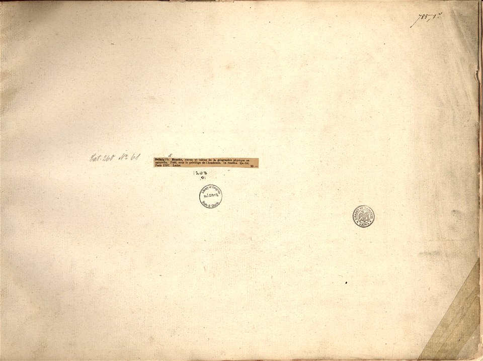
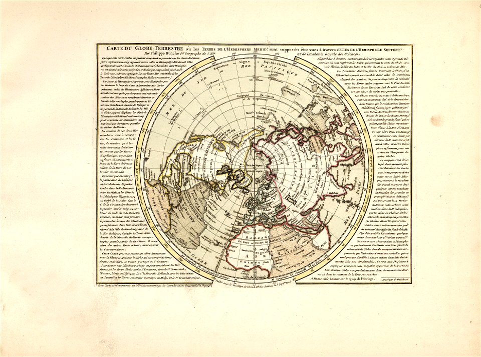
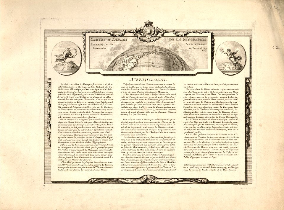
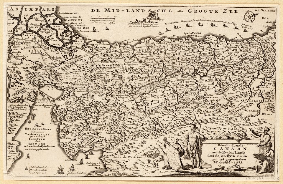
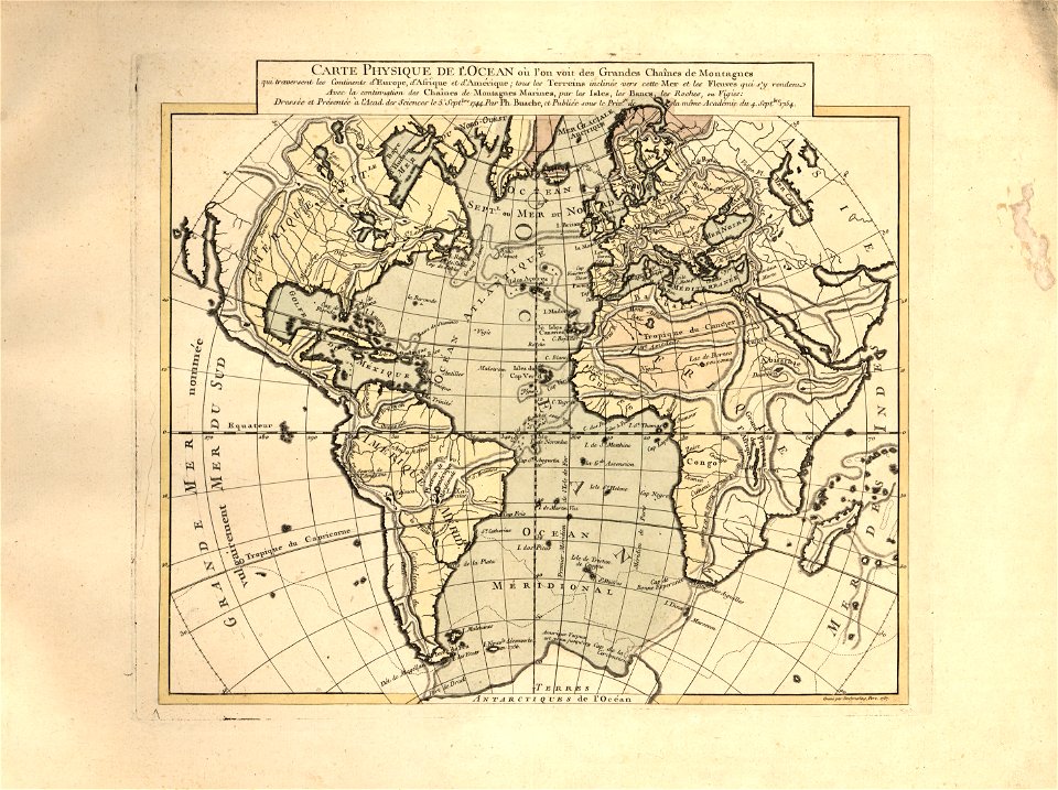
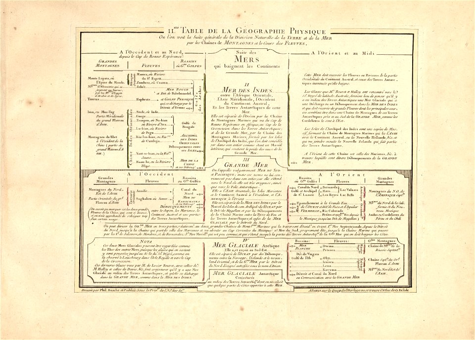
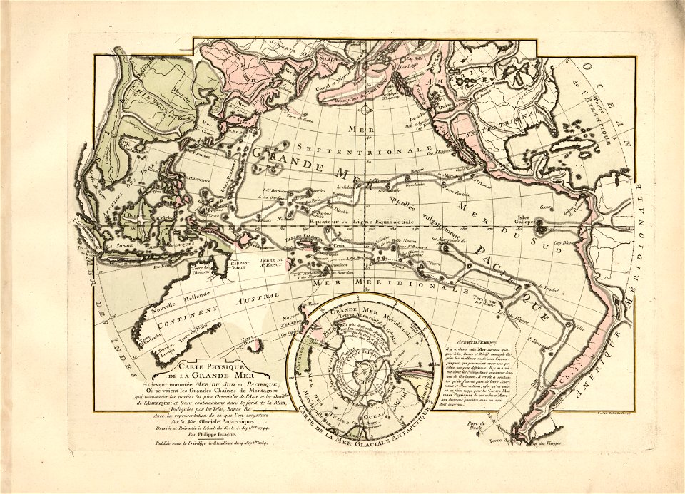
cartes et tables de la géographie physique ou naturelle
maps
geography
countries
border
flag
national
svg
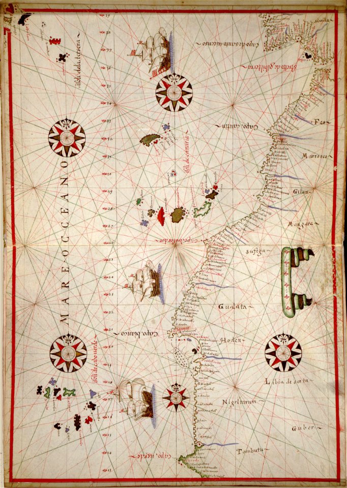
africa
maps in the library of congress
western europe
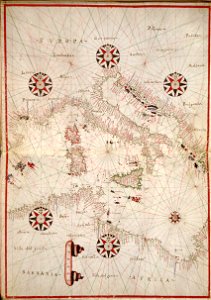
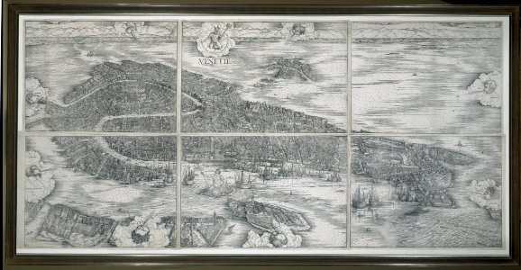
maps in the library of congress
western europe
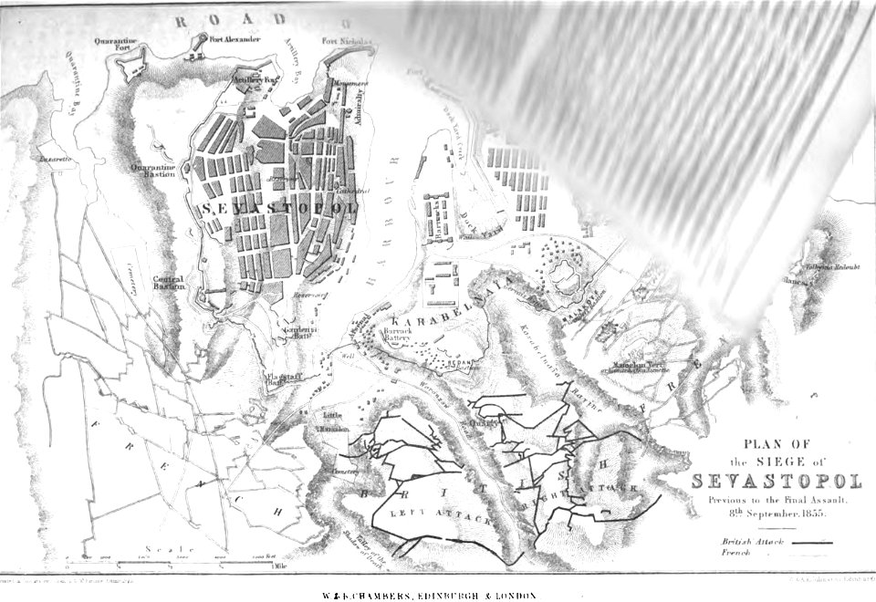
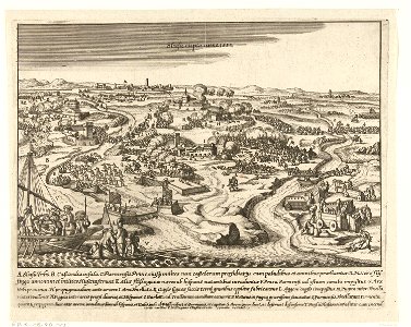
pictorial history of the russian war 1854-5-6 by george dodd
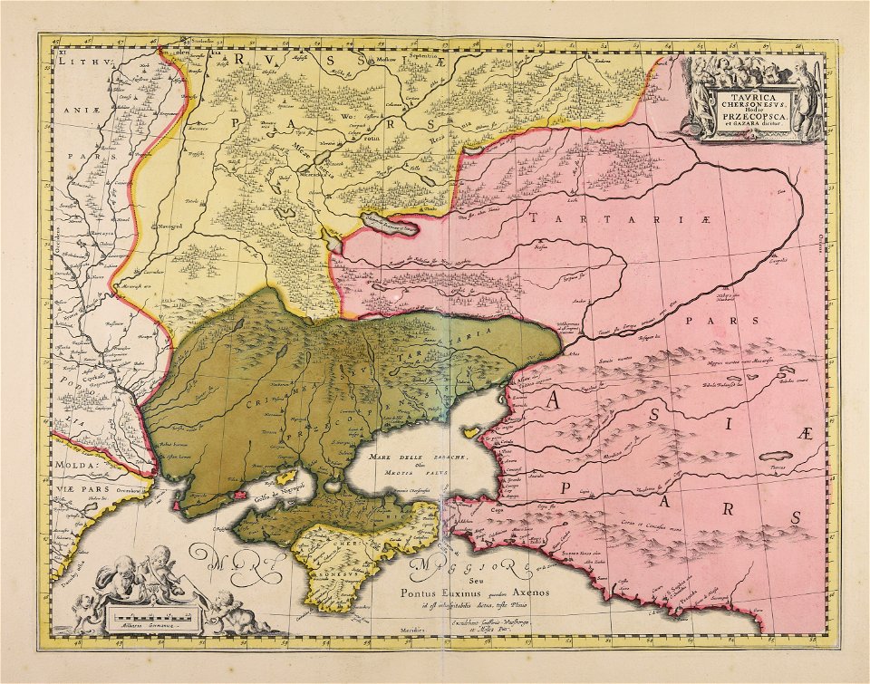
old maps of sevastopol
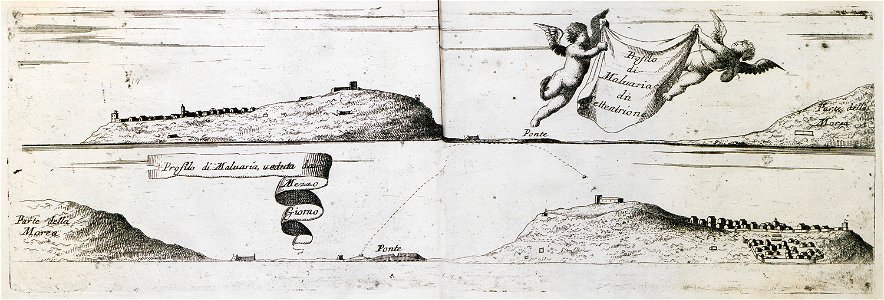
geographical illustrations by coronelli
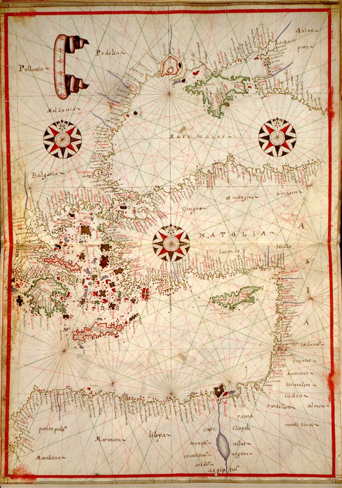
old maps of the peloponnese
maps in the library of congress
western europe
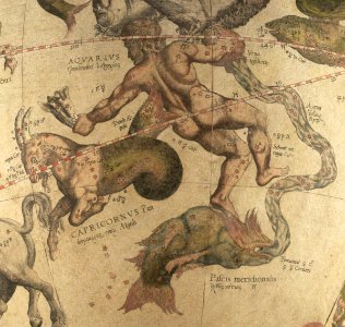
ganymede in renaissance art
maps by gerardus mercator
œuvres de tony garnier conservées au mba lyon
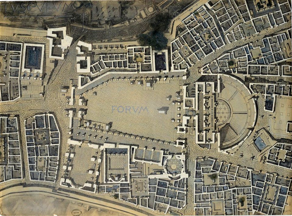
tusculum
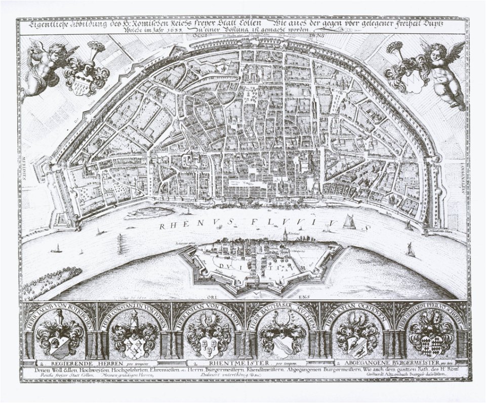
1633 in north rhine-westphalia
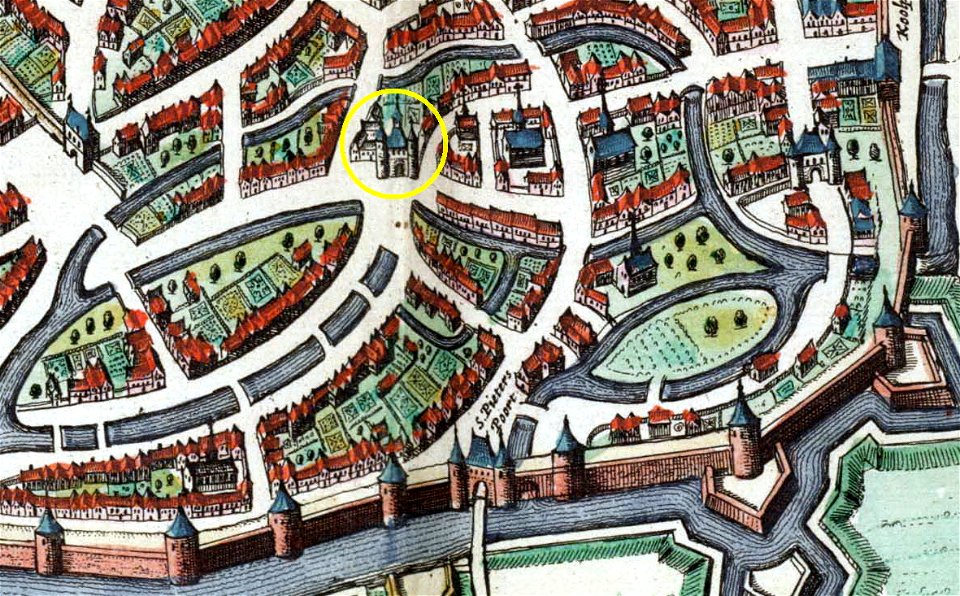
old maps of cologne
theatrum orbis terrarum (london 1606)
files from the bodleian libraries
woodcuts in the rijksmuseum amsterdam
maps in the rijksmuseum amsterdam
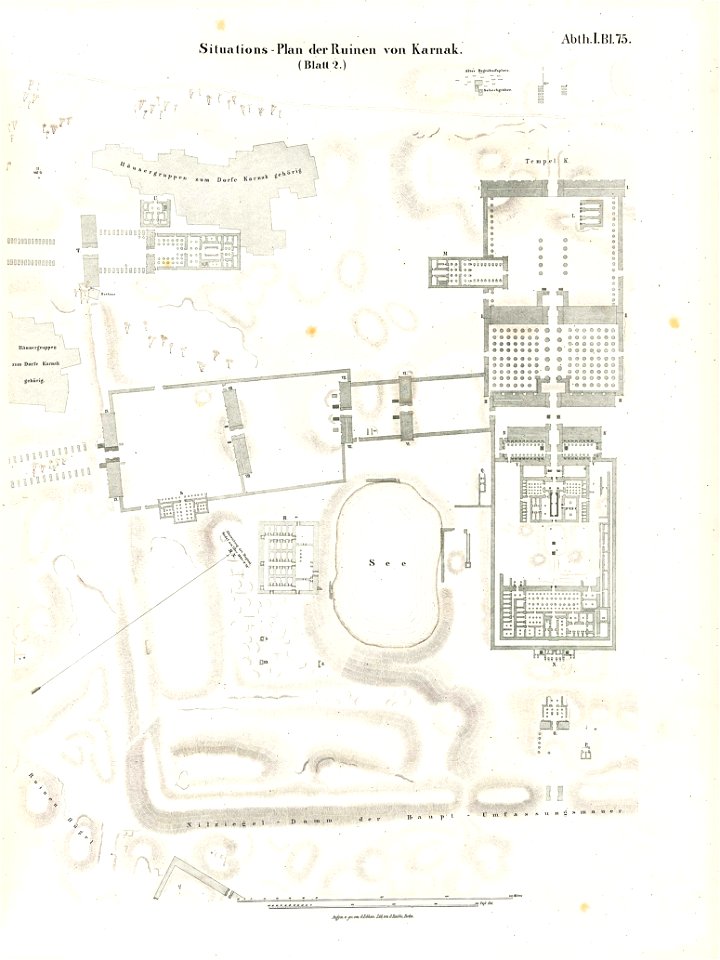
temple of khonsu in karnak
lepsius-projekt - maps
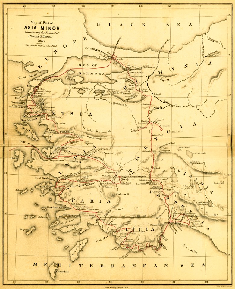
a journal written during an excursion in asia minor
london
drawings by leonardo da vinci in the royal collection of the united kingdom
copper engravings in the universitätsbibliothek salzburg
maps by joseph friedrich leopold
theatrum orbis terrarum (london 1606)
files from the bodleian libraries
maps made in the 17th century
jan janssonius
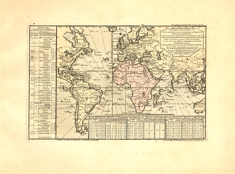
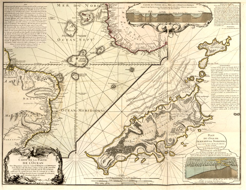
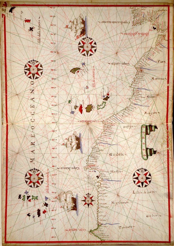
cartes et tables de la géographie physique ou naturelle
maps in the library of congress
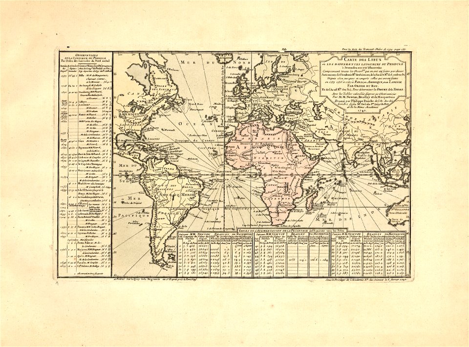
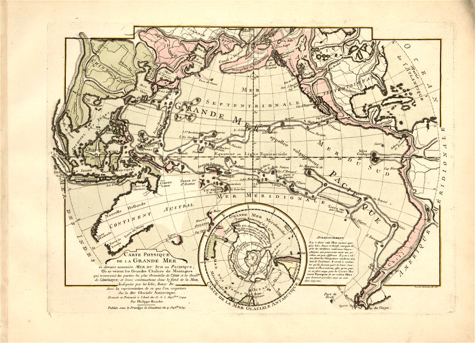
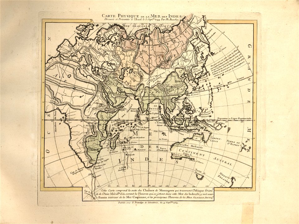
cartes et tables de la géographie physique ou naturelle
maps in the library of congress
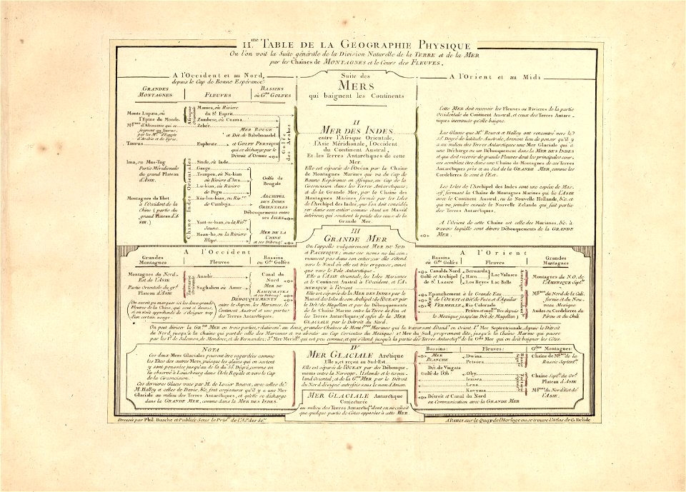
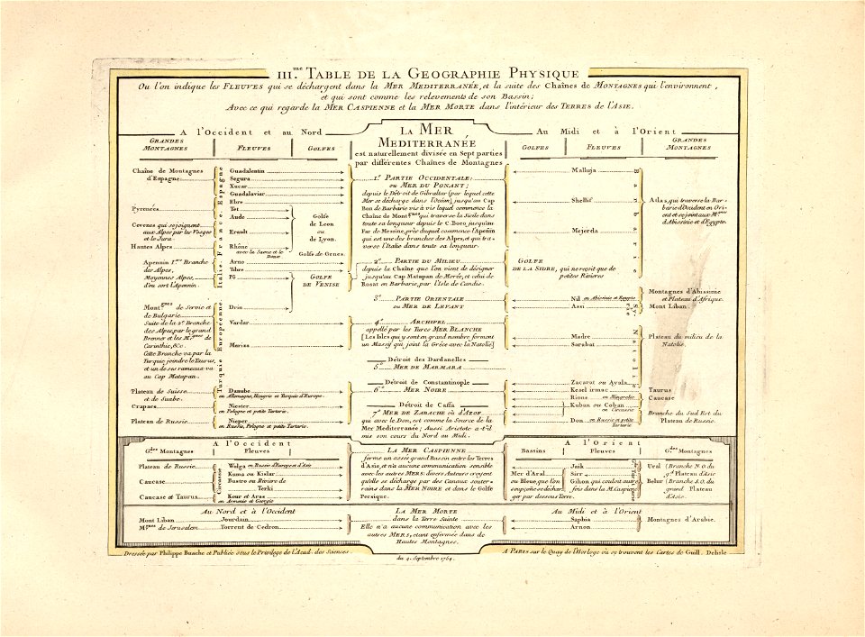
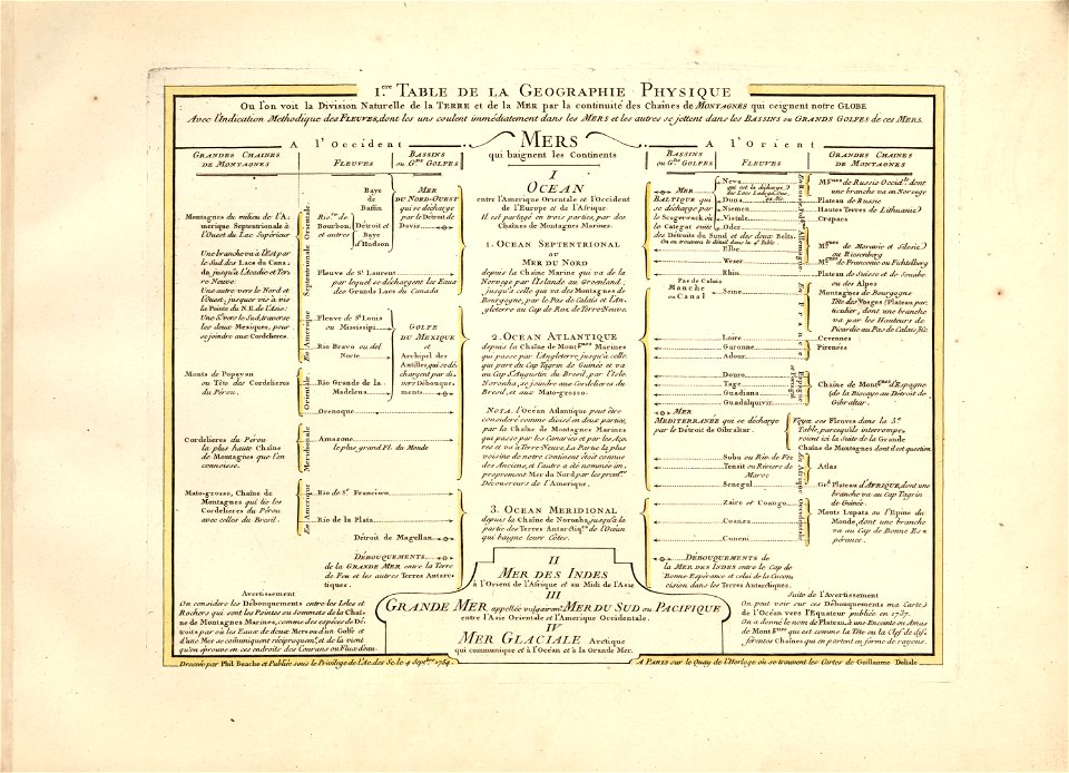
cartes et tables de la géographie physique ou naturelle
maps in the library of congress
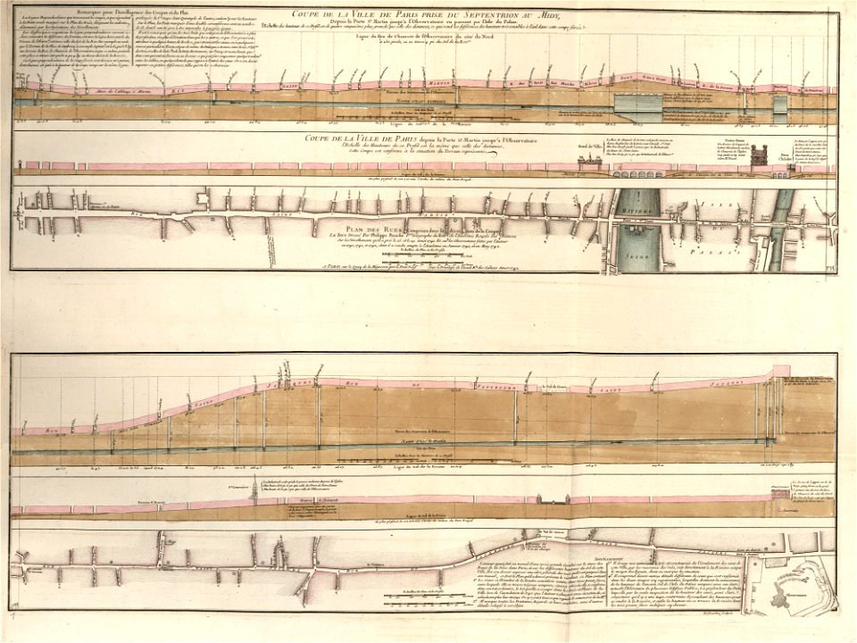
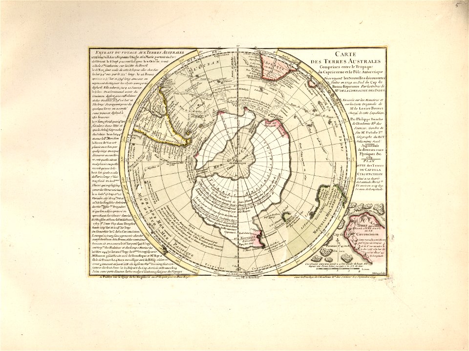
cartes et tables de la géographie physique ou naturelle
maps in the library of congress
cartes et tables de la géographie physique ou naturelle
maps in the library of congress
cartes et tables de la géographie physique ou naturelle
maps in the library of congress
cartes et tables de la géographie physique ou naturelle
maps in the library of congress
cartes et tables de la géographie physique ou naturelle
maps in the library of congress
cartes et tables de la géographie physique ou naturelle
maps in the library of congress
westermanns monatshefte
map table
pages using map template with incorrect parameter
nieuwe hollandse scheeps-bouw (1695)
claes jansz. visscher (ii)
waal
pages using map template with incorrect parameter
nieuwe hollandse scheeps-bouw (1695)
prints from dankaerts historis at the peace palace library
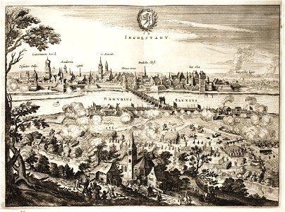
ingolstadt
cartes et tables de la géographie physique ou naturelle
maps in the library of congress
cartes et tables de la géographie physique ou naturelle
maps in the library of congress
cartes et tables de la géographie physique ou naturelle
maps in the library of congress
cartes et tables de la géographie physique ou naturelle
maps in the library of congress
cartes et tables de la géographie physique ou naturelle
maps in the library of congress
cartes et tables de la géographie physique ou naturelle
maps in the library of congress
cartes et tables de la géographie physique ou naturelle
maps in the library of congress
cartes et tables de la géographie physique ou naturelle
maps in the library of congress
cartes et tables de la géographie physique ou naturelle
maps in the library of congress
cartes et tables de la géographie physique ou naturelle
maps in the library of congress
cartes et tables de la géographie physique ou naturelle
maps in the library of congress
maps in the library of congress
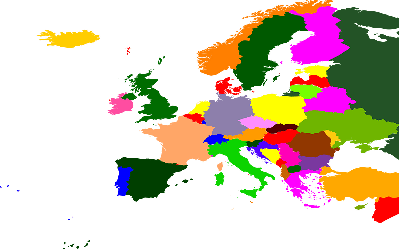
western europe
maps in the library of congress
western europe
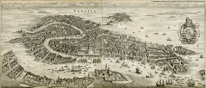
maps in the amsterdam museum
relation d'un voyage du levant 1718
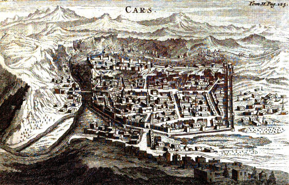
old pictures and maps of kars
17th-century engravings
copper engraving
atlantis magni tomus secundus (biblioteca comunale di trento)
maps made in the 17th century
atlantis magni tomus primus (biblioteca comunale di trento)
maps made in the 17th century
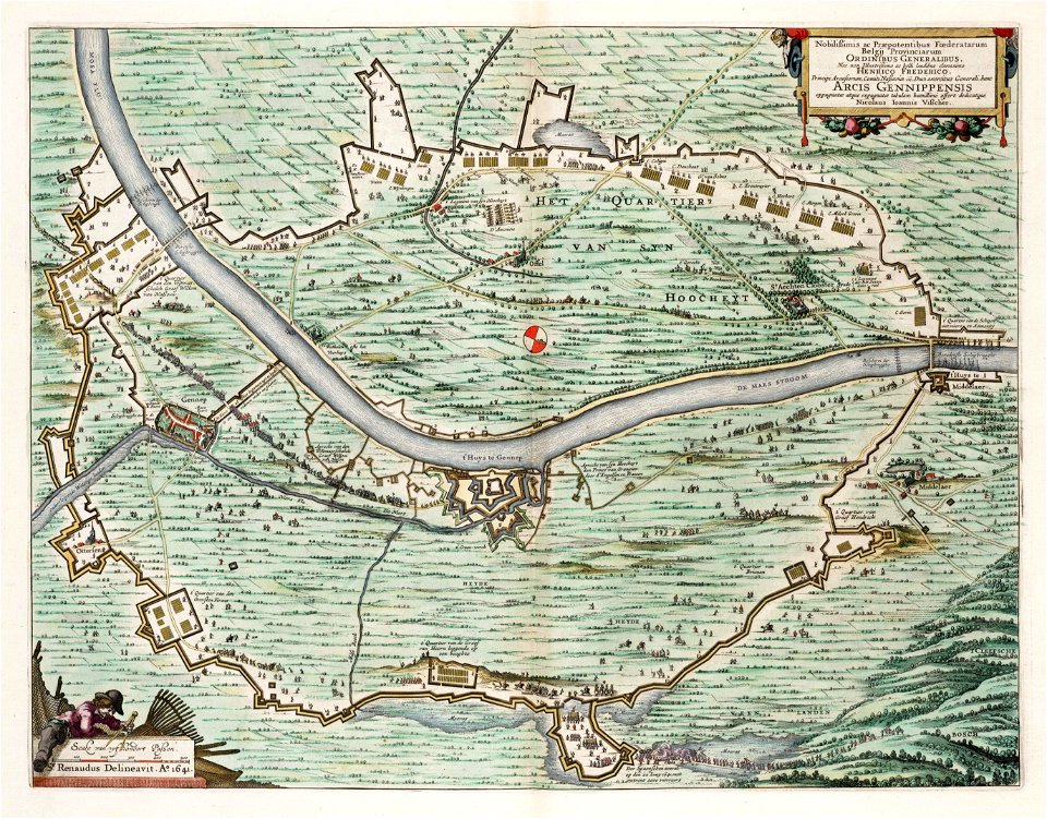
map of maastricht by willem and johannes blaeu (1649)
city gates in maastricht
maps made in the 17th century
finlandia
christian von mechel
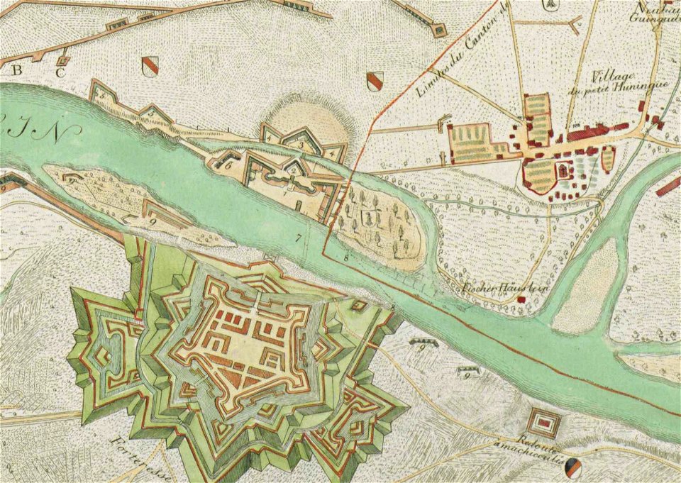
huningue fortress
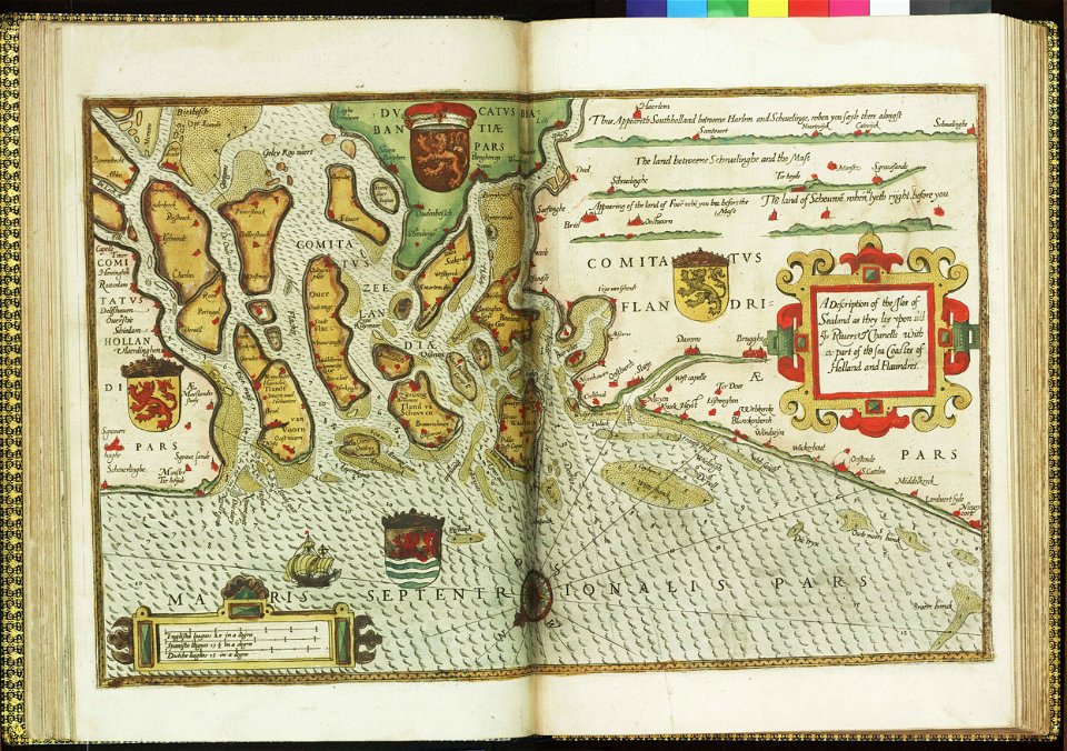
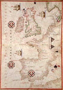
charts and maps of the royal museums greenwich
lucas janszoon waghenaer
drawings by samuel de champlain
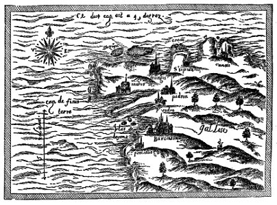
old maps of galicia (spain)
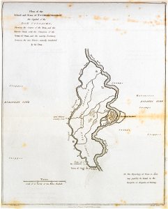
don in rostov oblast
novocherkassk
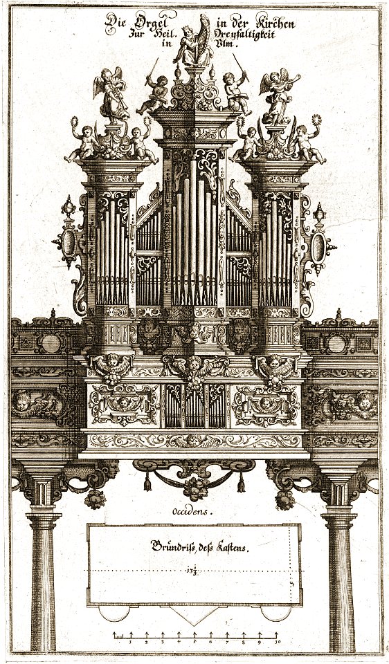
pipe organs in art
history of ulm
historical images of landstraße
palais rasumofsky
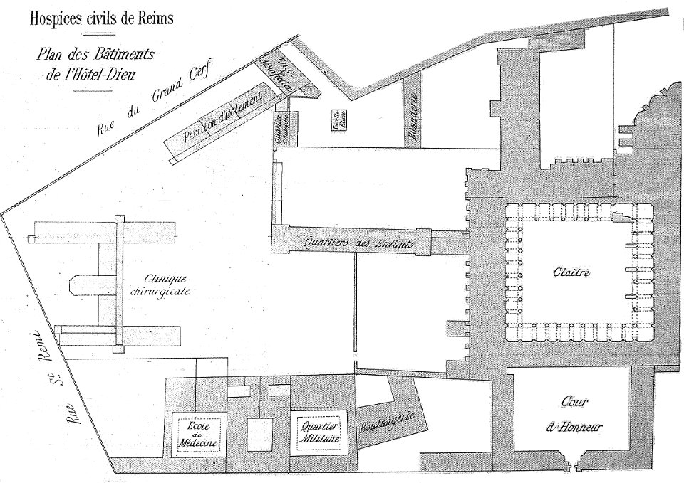
bibliothèque municipale de reims
abbey of saint-remi
science
maps
self-published work
app-6
vector images using elements from other vector images
pd-user
maps
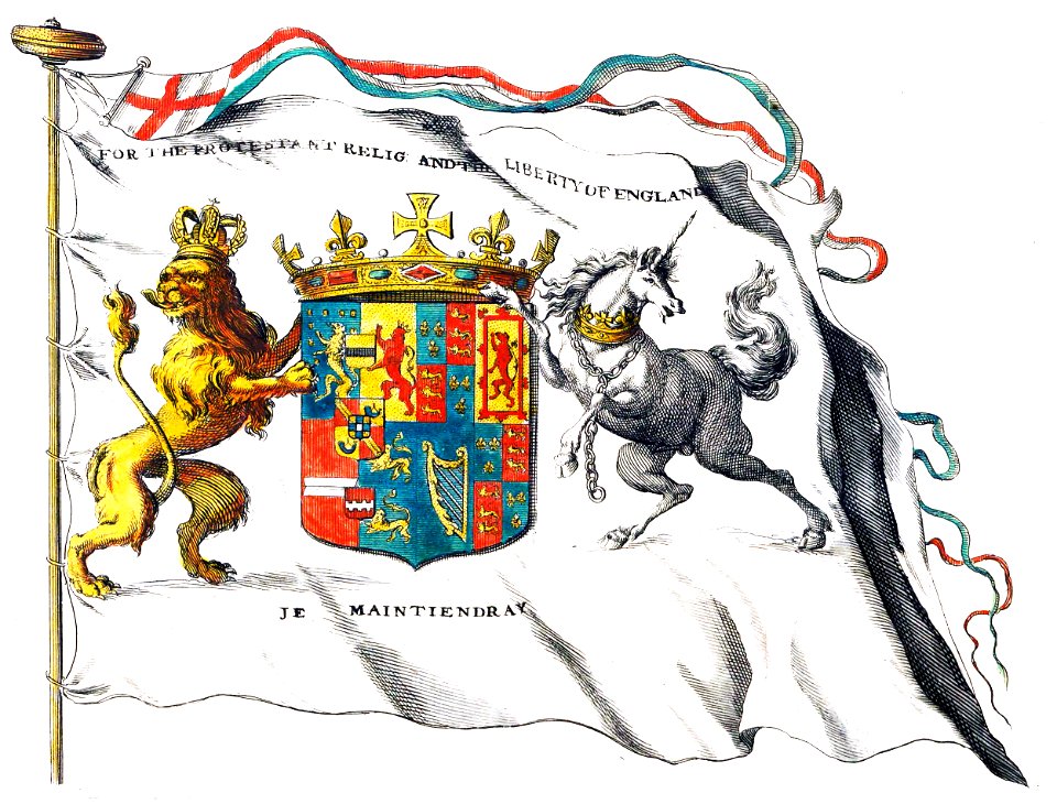
flag
business
maps
maps
flag
maps
flag
maps
flag
maps
flag
maps
flag
maps
flag
maps
flag
maps
flag
maps
flag
maps
flag
maps
flag
self-published work
with insignia
self-published work
with insignia
caucasus mountains
caucasus
continent
maps
maps
flag
countries
maps
maps
flag
earth
maps
astronomy
maps
flemish 17th-century prints in the rijksmuseum amsterdam
frans hogenberg
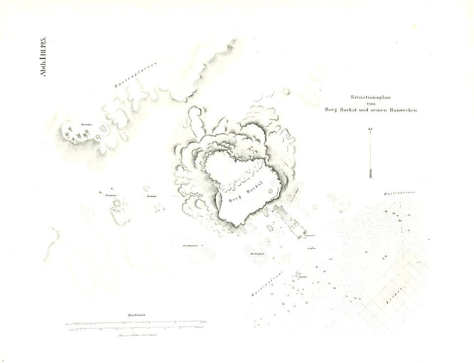
illustrations of jebel barkal
lepsius-projekt - maps
maps in the library of congress
western europe
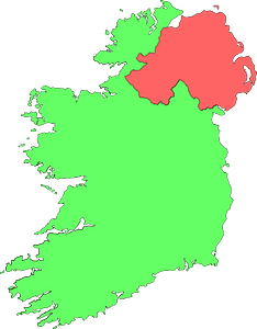
maps in the library of congress
western europe
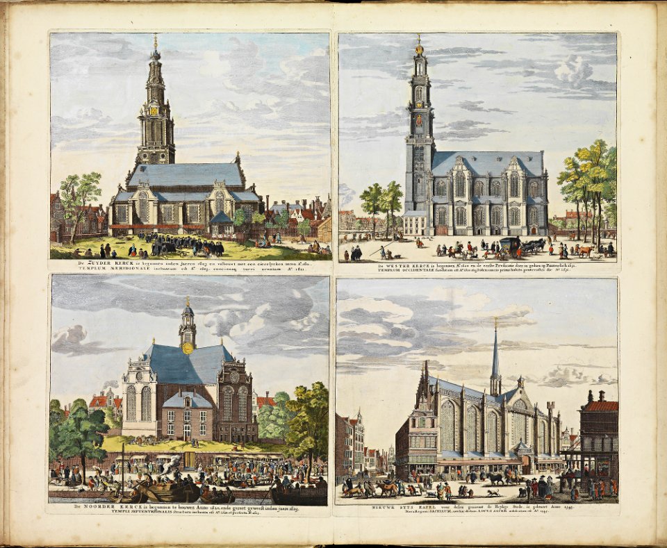
historical images of zuiderkerk (amsterdam)
frederick de wit
history of eindhoven
eindhoven
pages using map template with incorrect parameter
nieuwe hollandse scheeps-bouw (1695)
pages using map template with incorrect parameter
nieuwe hollandse scheeps-bouw (1695)
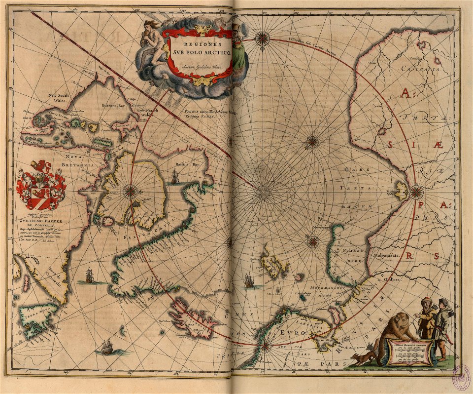
old maps of the arctic
copper engraving
charts and maps of the royal museums greenwich
french prints in the rijksmuseum amsterdam
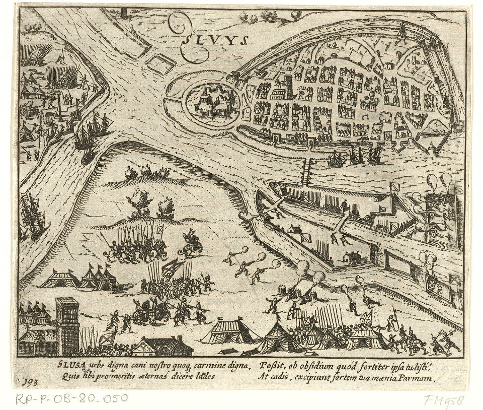
sluis
maps in the library of congress
western europe
claes jansz. visscher (ii)
circumvallation
cartes et tables de la géographie physique ou naturelle
maps in the library of congress
cartes et tables de la géographie physique ou naturelle
maps in the library of congress
cartes et tables de la géographie physique ou naturelle
maps in the library of congress
cartes et tables de la géographie physique ou naturelle
maps in the library of congress
cartes et tables de la géographie physique ou naturelle
maps in the library of congress
14401 - 14500 of 357,549
Next page
/ 3576