Log in
All resources
Create a design
Tools
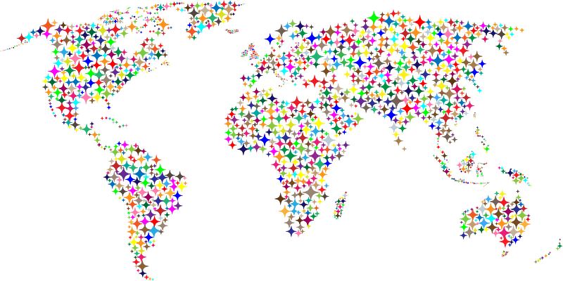
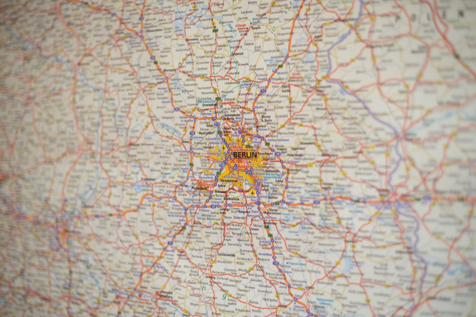
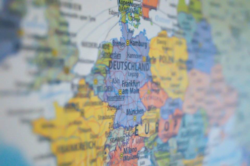
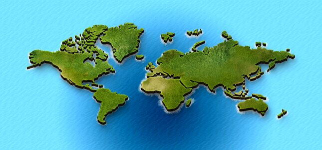
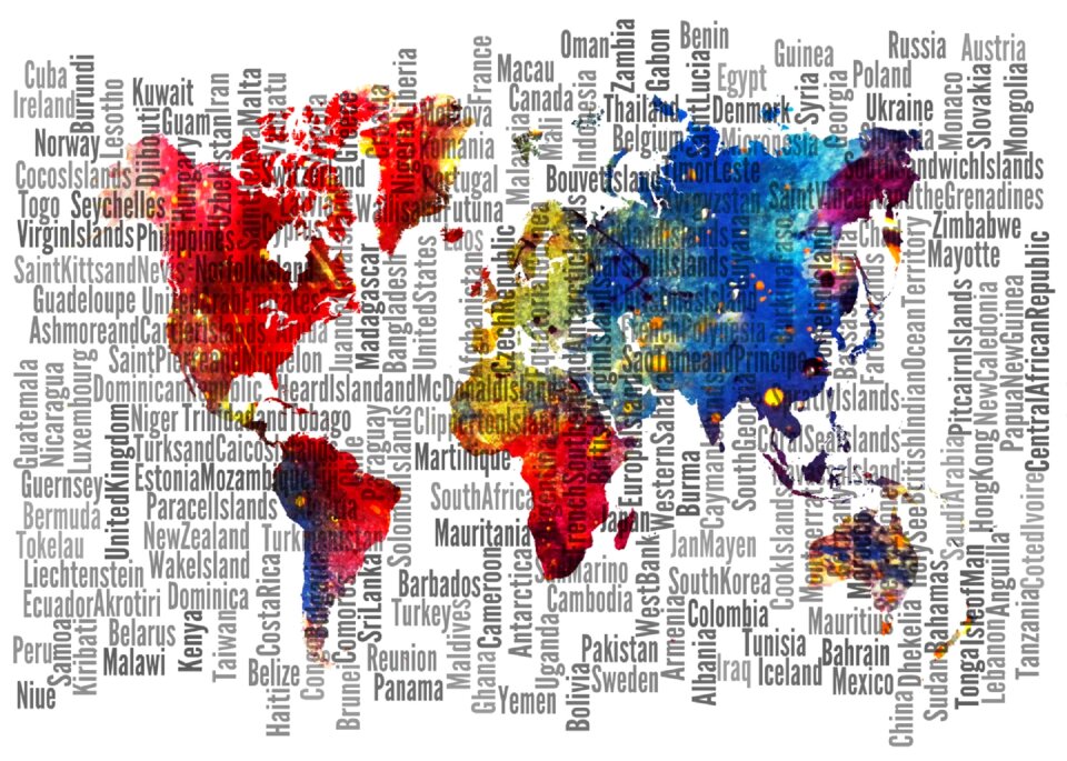
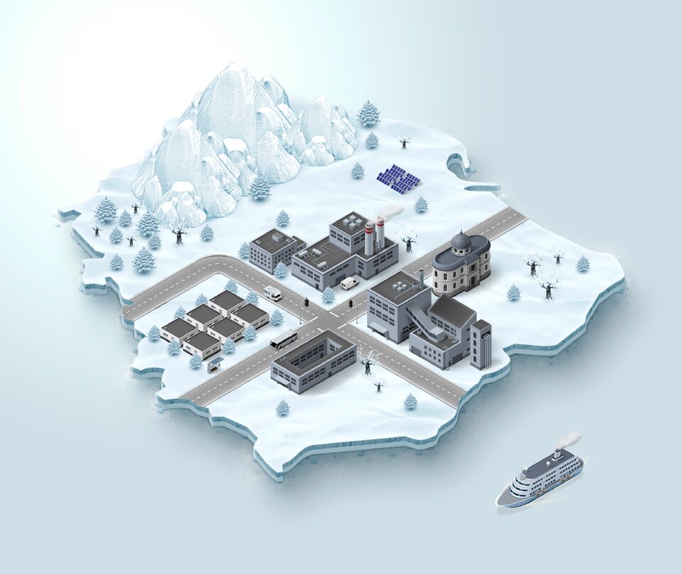
357,549 Free Images of Map
maps
geography
national
countries
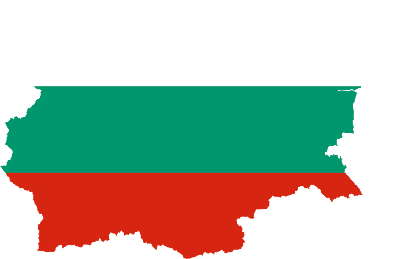
border
flag
svg
shape
africa
background
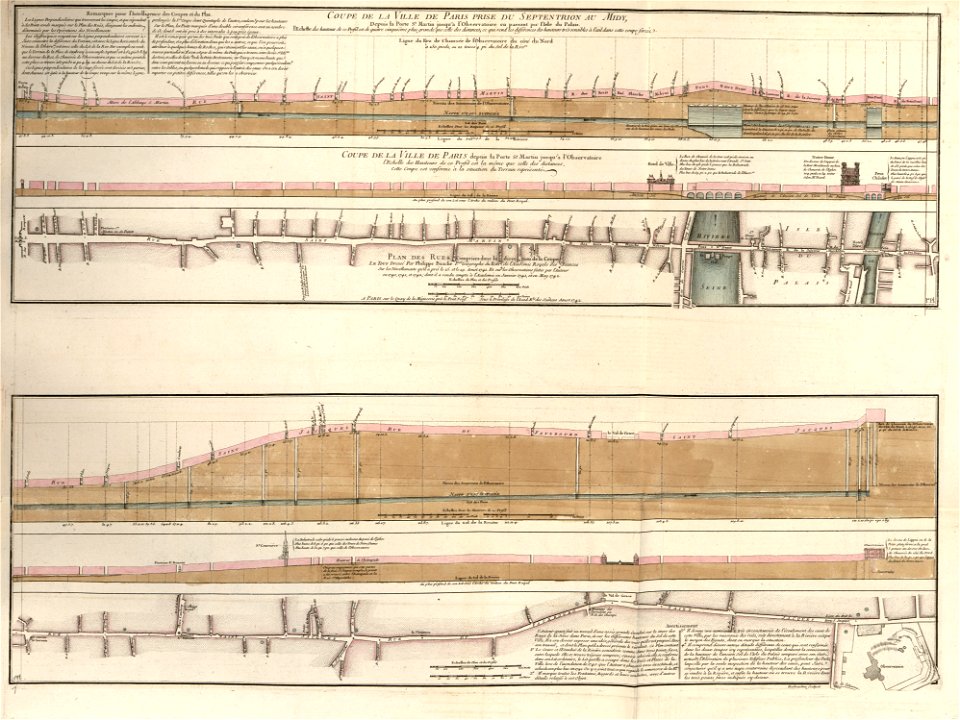
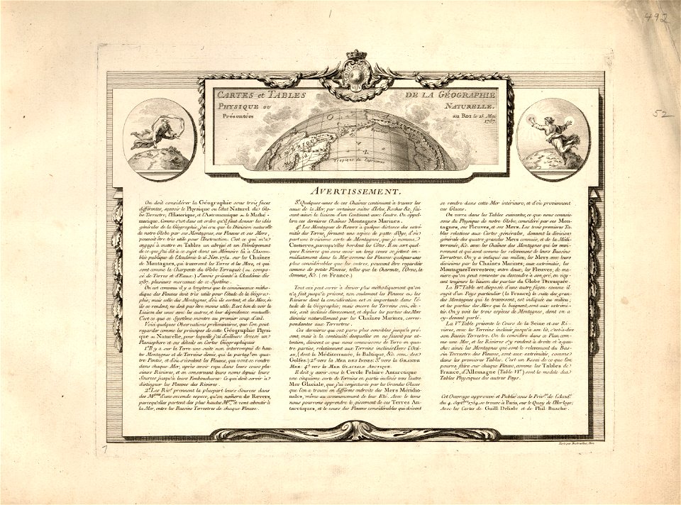
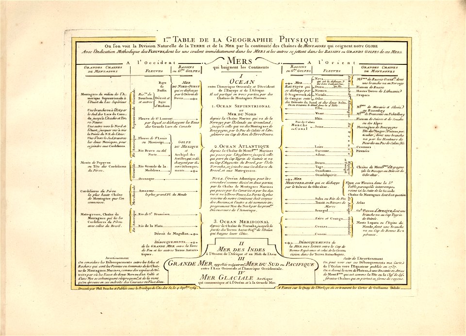
cartes et tables de la géographie physique ou naturelle
maps in the library of congress
cartes et tables de la géographie physique ou naturelle
maps in the library of congress
cartes et tables de la géographie physique ou naturelle
maps in the library of congress
old maps of turin
history of turin
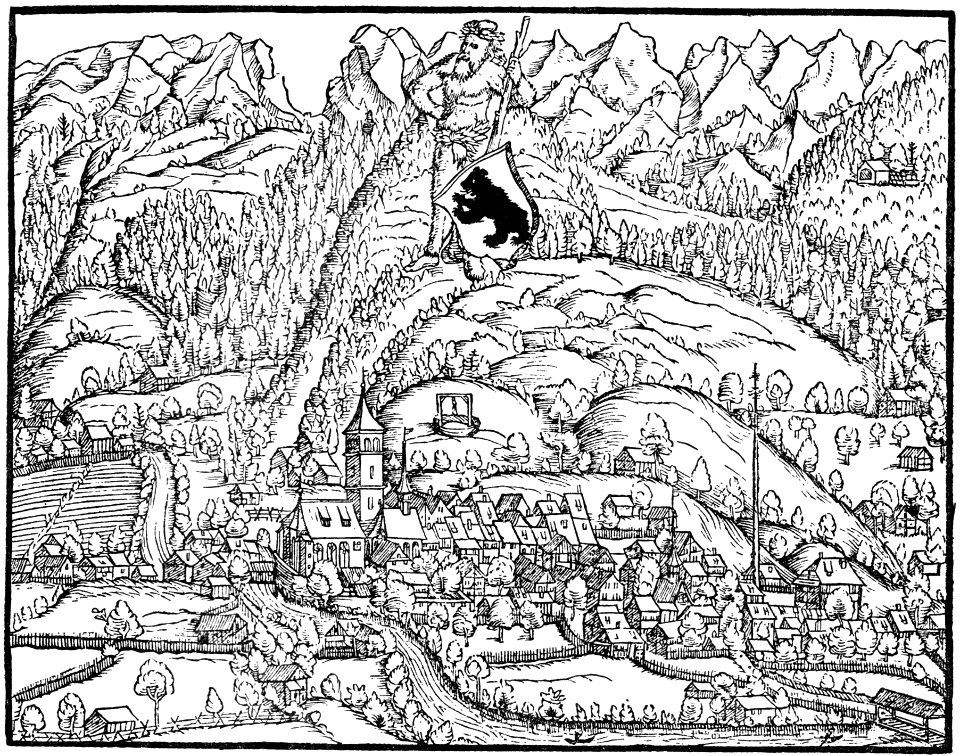
historical images of appenzell
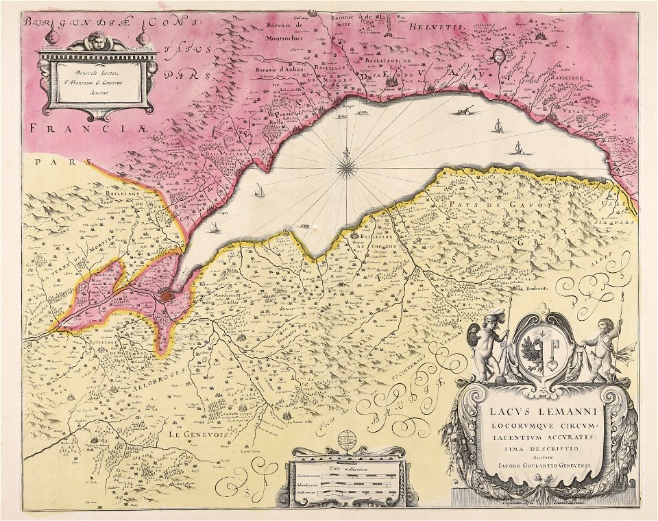
old maps of switzerland
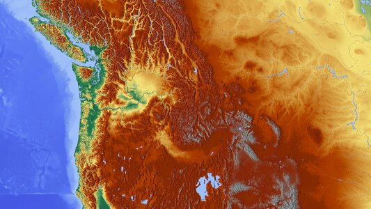
diagrams of mountains
comparison diagrams
maps of the west-indische compagnie
1745
collections de la bibliothèque nationale et universitaire de strasbourg
maps of strasbourg in the 19th century
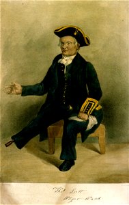
greenwich pensioners
printing
maps in the amsterdam museum
maps in the amsterdam museum
maps in the amsterdam museum
background
maps
background
maps
background
maps
self-published work
app-6
maps from the earth and its inhabitants, vol. vi
charles eugène perron
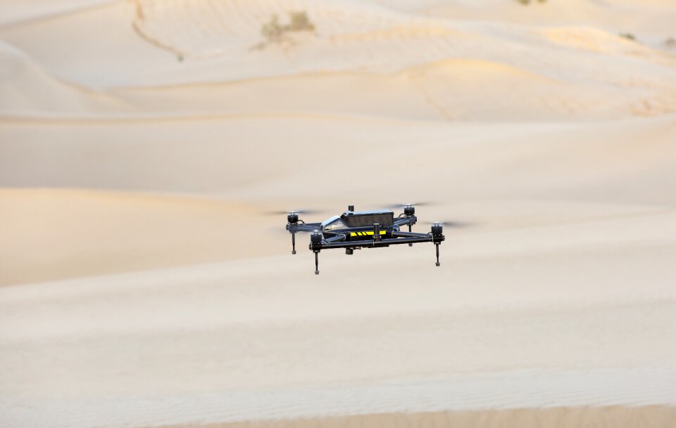
mapping drone
uav
mountain
maps
national
maps
maps
flag
continent
maps
maps
flag
maps
flag
maps
flag
maps
flag
maps
flag
self-published work
pd-self
self-published work
brisbane
maps
flag
maps
flag
orange color
map icons
map legend
monument
nature map symbols
nature icons
maps
flag
maps
flag
cartography
maps
australia
maps
icons
maps
maps
flag
maps
flag
background
maps
background
maps
business
maps
background
city
facade
maps
national
maps
continent
city
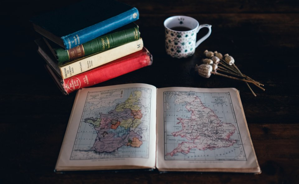
table
book
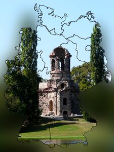
castle garden
schwetzingen
christmas
maps
christmas
maps
christmas
maps
continent
maps
background
maps
switzerland
white
background
maps
countries
world
yellow
maps
maps
girl
maps
snow
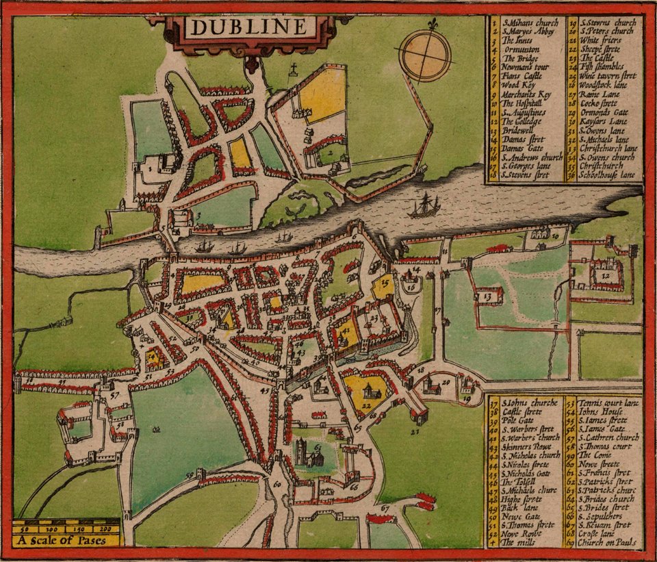
st mary's church
dublin
self-published work
app-6
self-published work
ukraine
cartography
grass
maps
flag
maps
flag
maps
flag
maps
flag
maps
flag
maps
flag
maps
flag
self-published work
air transport
maps
flag
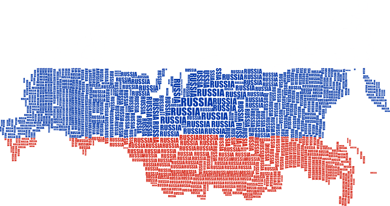
self-published work
flag maps of russia
maps
flag
maps
flag
maps
flag
maps
flag
maps
flag
maps
flag
maps
flag
maps
flag
maps
flag
maps
flag
anne baptiste nivelon
rococo
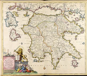
maps made in the 17th century
peloponnese
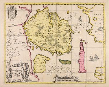
maps made in the 17th century
jan janssonius
maps made in the 17th century
funen
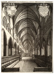
architectural prints by wenzel hollar
old st paul's cathedral
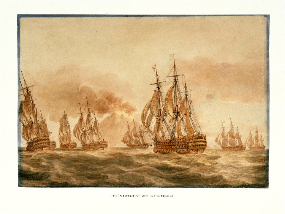
hms victory (ship
printing
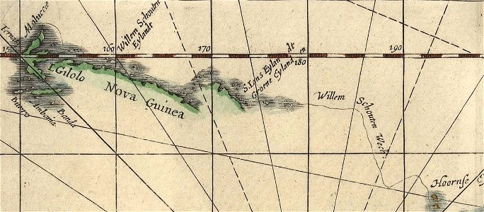
willem schouten
jacob le maire
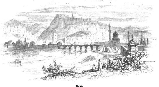
pictorial history of the russian war 1854-5-6 by george dodd
old pictures and maps of kars
fortifications in france
fort de limaie
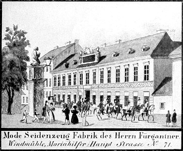
historical images of mariahilf
vienna in the 1830s
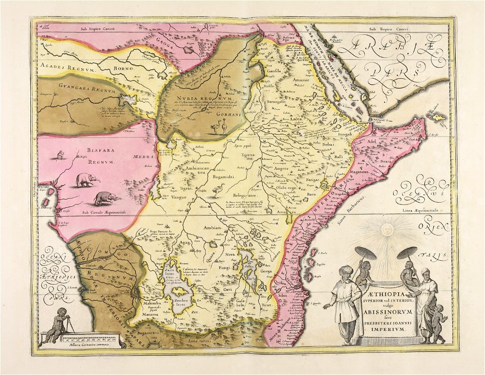
atlantis magni tomus quintus (biblioteca comunale di trento)
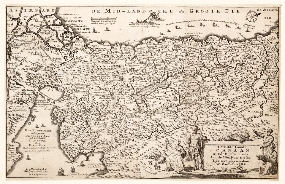
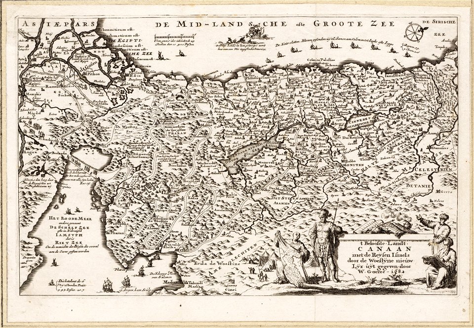
maps made in the 17th century
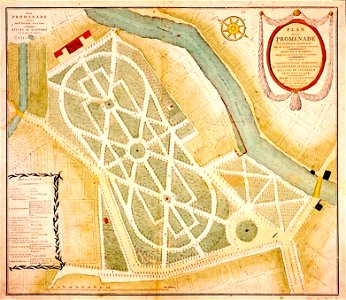
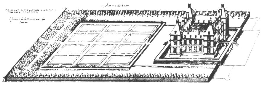
maps of baroque gardens
bird's eye view
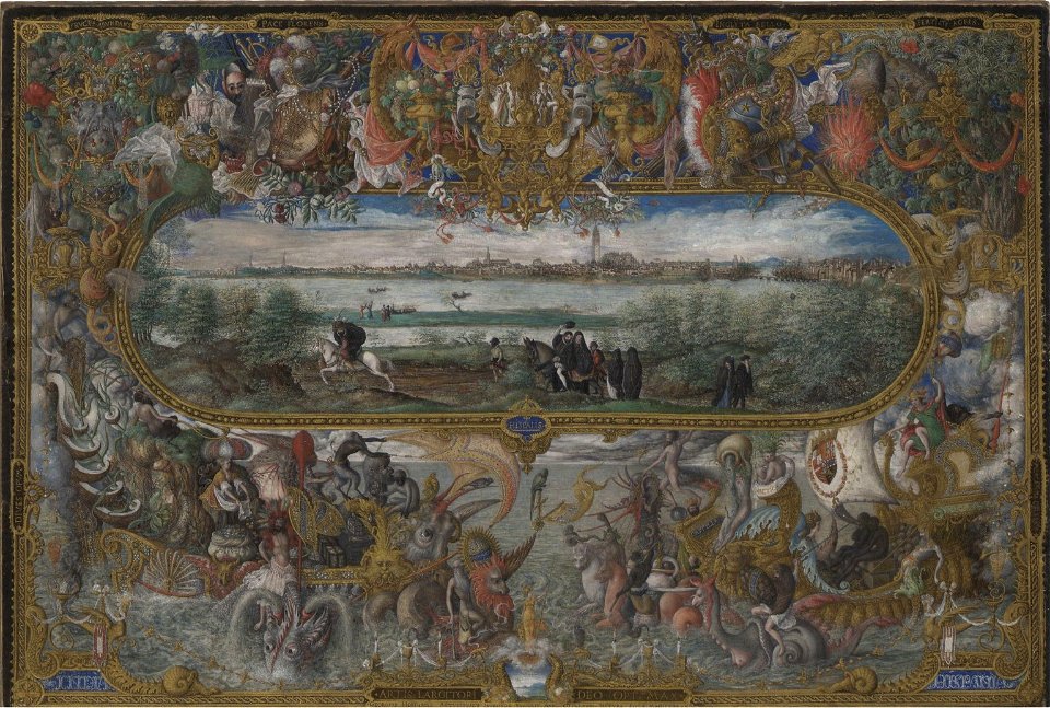
maps and topographical views by joris hoefnagel
drawings by joris hoefnagel
old maps of dokkum
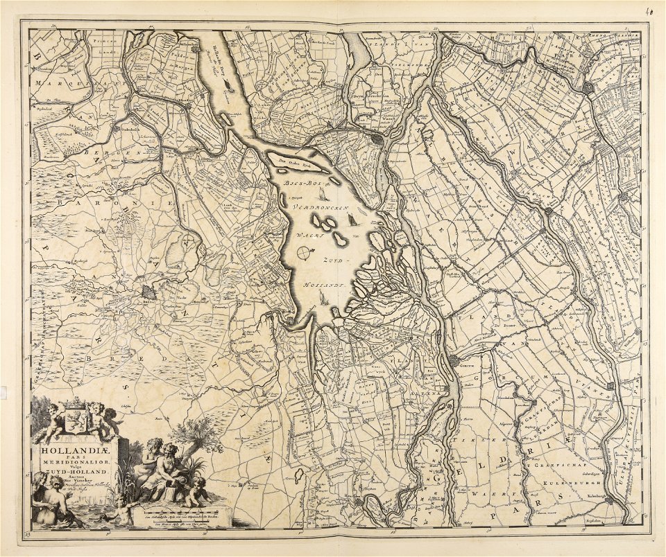
atlas de wit 1698
maps made in the 17th century
nicolaes visscher ii
14501 - 14600 of 357,549
Next page
/ 3576