Log in
All resources
Create a design
Tools
357,549 Free Images of Map
maps
background
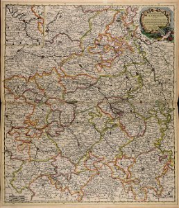
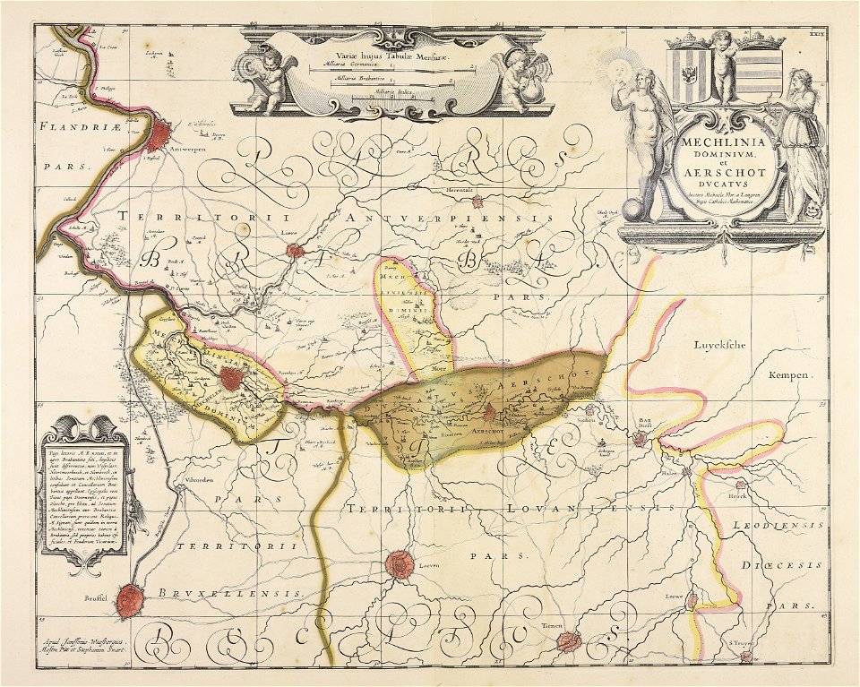
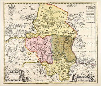
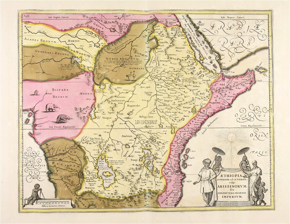
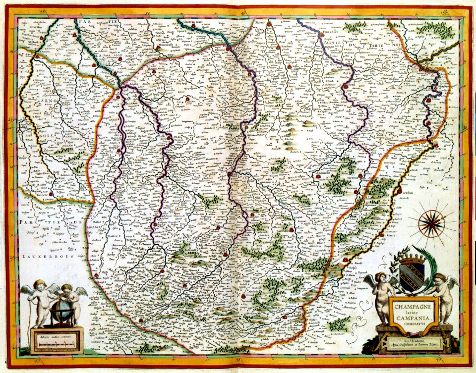
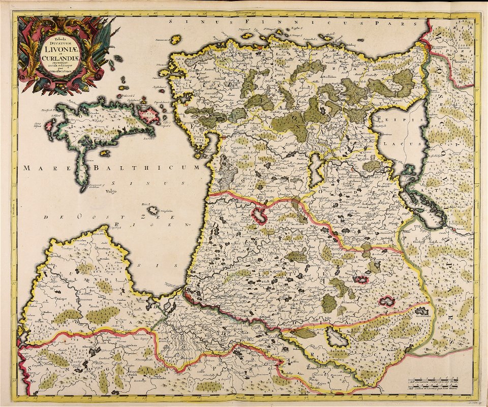
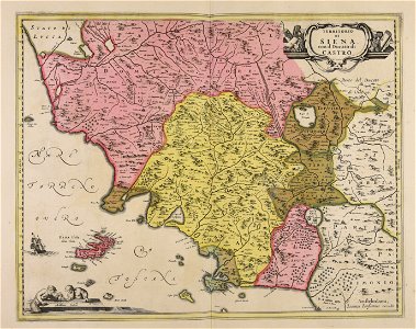
maps made in the 17th century
world
blue
greeting card
abstract
template
flower
love
prints from lambert van den bos schauplatz des krieges at the peace palace library
aardenburg
palazzo margherita (rome)
giovanni battista falda
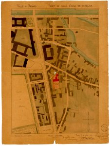
jean-baptiste martenot
1880 maps
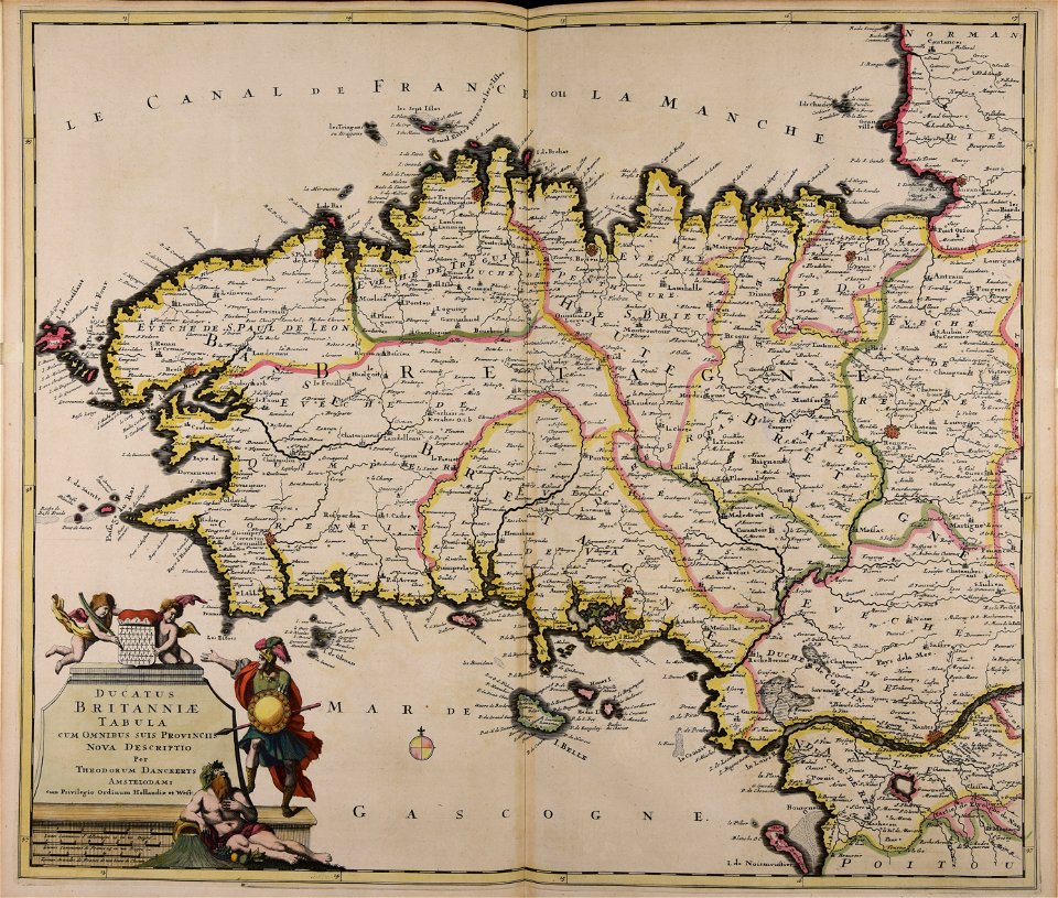
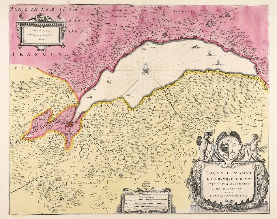
maps made in the 17th century
cornelis danckerts (i)
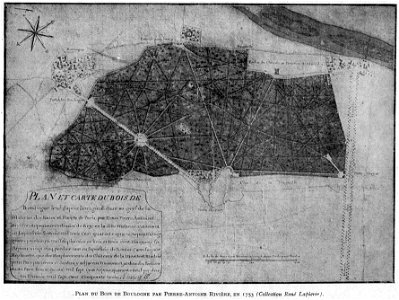
petite histoire du bois de boulogne
illustrations from h.corbel
atlantis magni tomus secundus (biblioteca comunale di trento)
maps made in the 17th century
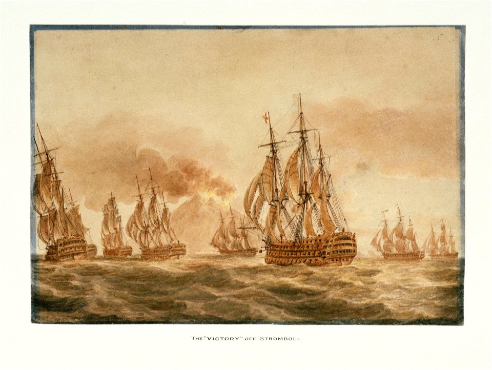
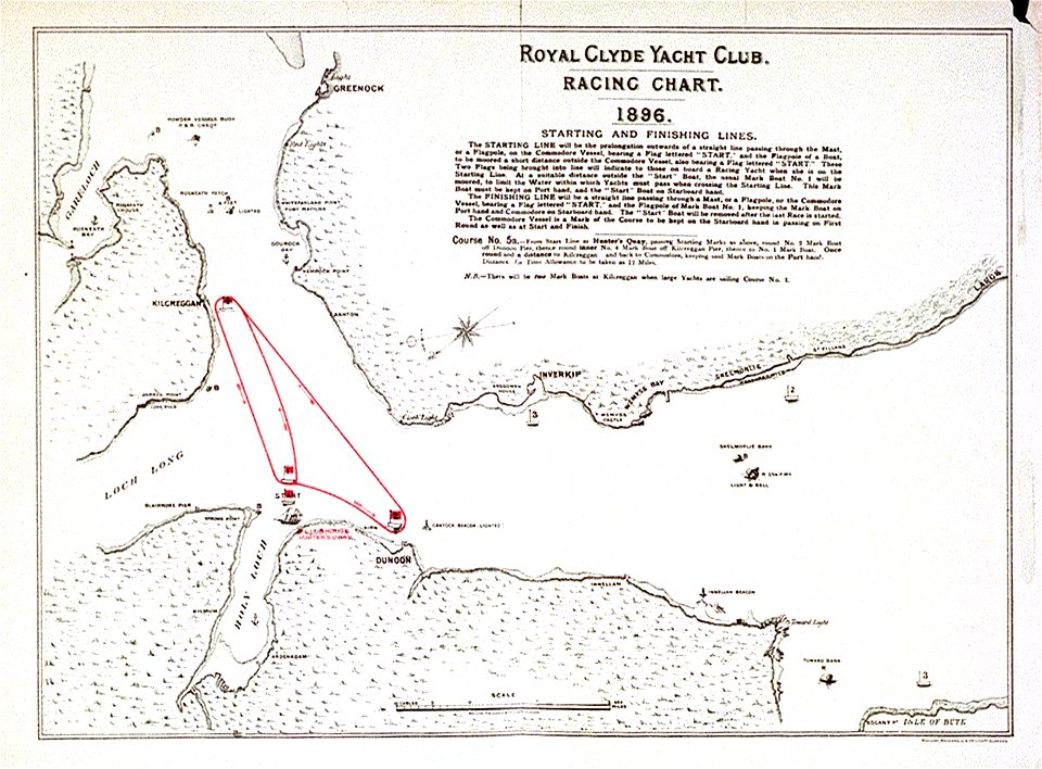
charts and maps of the royal museums greenwich
dutch 17th-century prints in the rijksmuseum amsterdam
maps in the rijksmuseum amsterdam
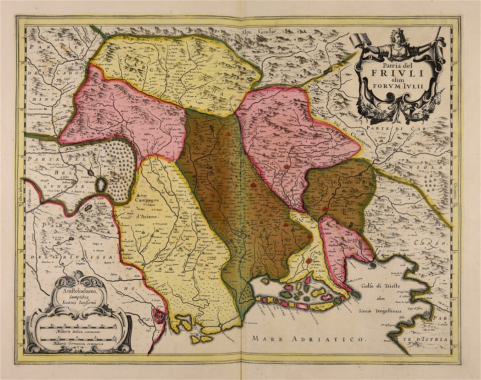
maps made in the 17th century
friuli-venezia giulia
maps made in the 17th century
jan janssonius
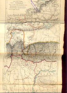
old maps of sikkim
1876 maps of india
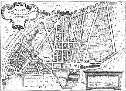
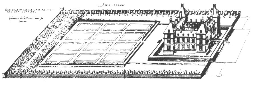
maps of baroque gardens
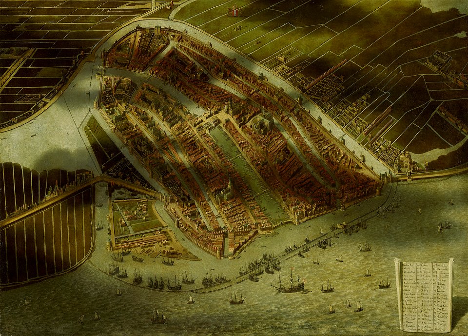
bird's eye view
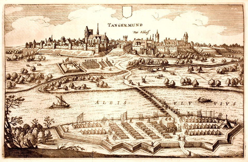
maps of the thirty years' war
history of tangermünde
old maps of münster (westfalen)
caspar merian
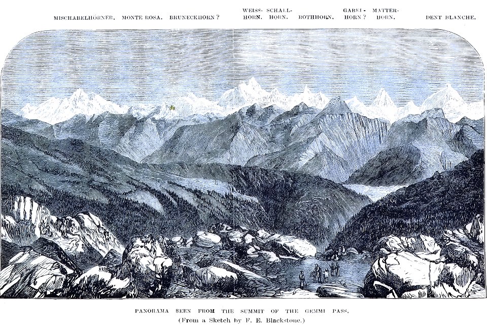
john - president of the alpine club
historical images of gemmipass
atlantis magni tomus quartus (biblioteca comunale di trento)
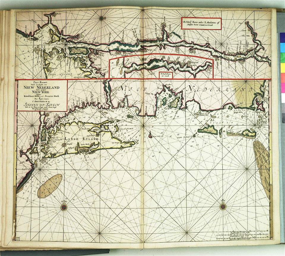
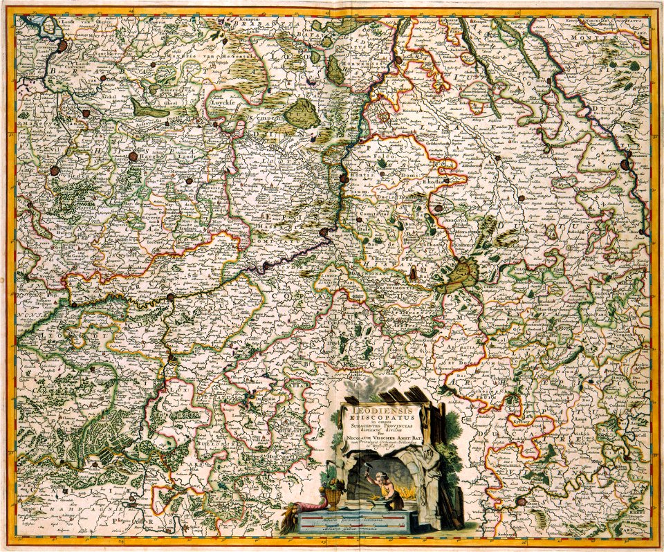
maps made in the 17th century
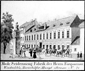
historical images of mariahilf
vienna in the 1830s
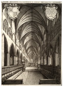
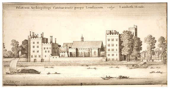
architectural prints by wenzel hollar
old st paul's cathedral
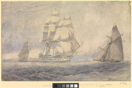
hms victory (ship
printing
maps made in the 17th century
jan janssonius
maps made in the 17th century
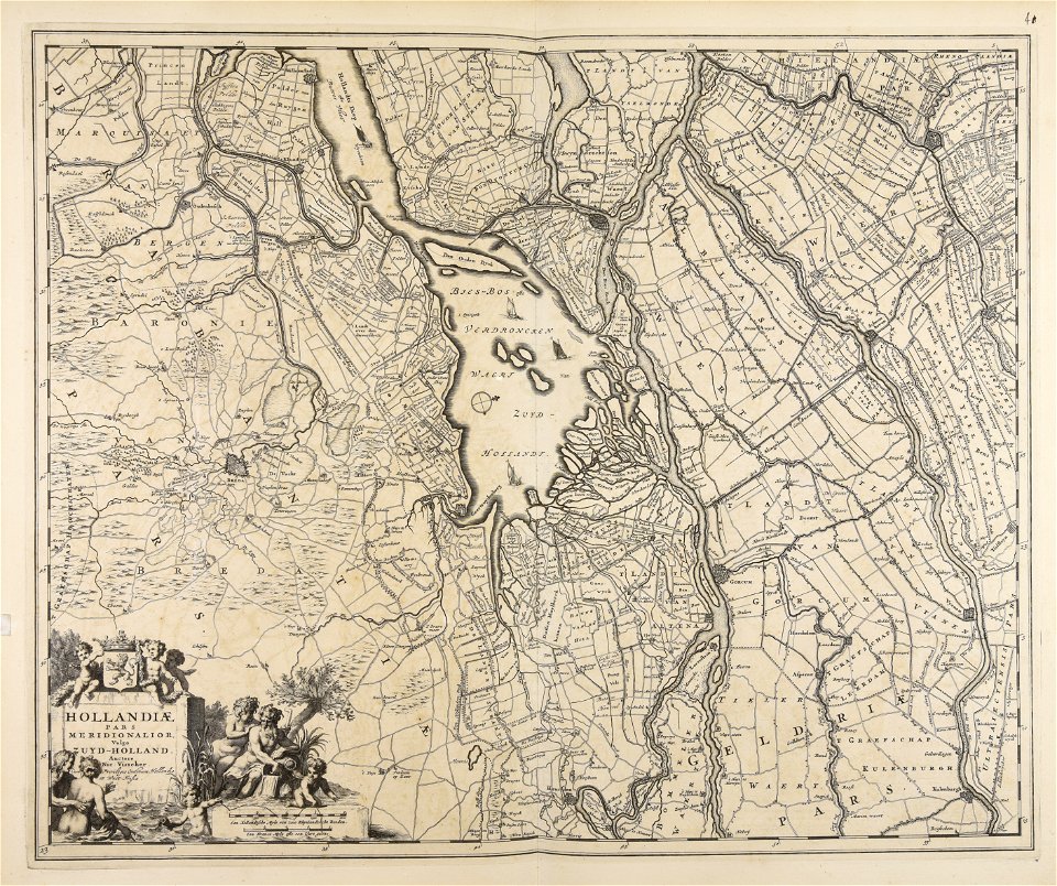
nicolaes visscher ii
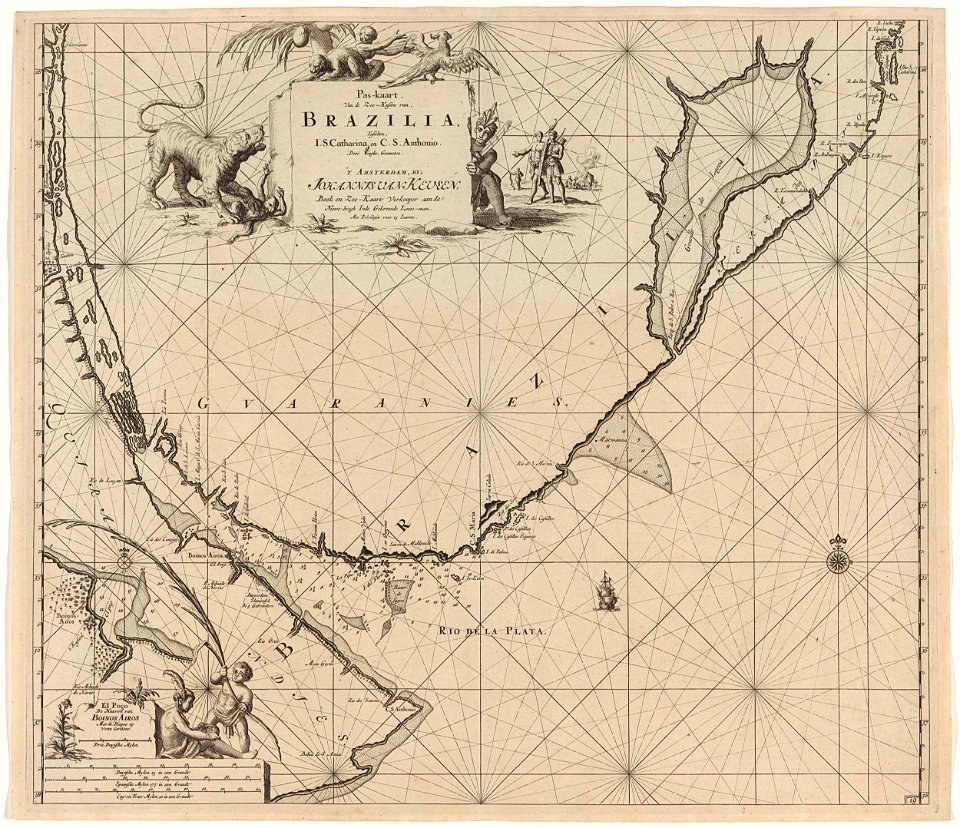
maps made in the 17th century
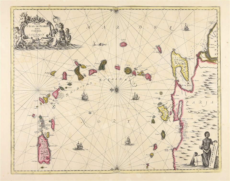
caraibi
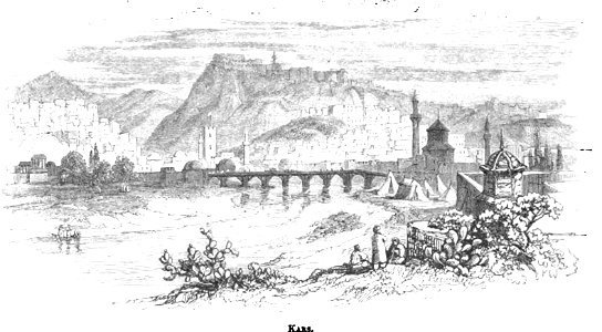
pictorial history of the russian war 1854-5-6 by george dodd
old pictures and maps of kars
fortifications in france
fort de limaie
printing
1797
atlantis magni tomus quintus (biblioteca comunale di trento)
maps made in the 17th century
old maps of dokkum
atlas de wit 1698
charts and maps of the royal museums greenwich
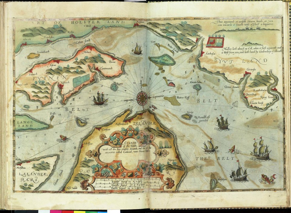
lucas janszoon waghenaer
pictorial history of the russian war 1854-5-6 by george dodd
historical images of kronstadt
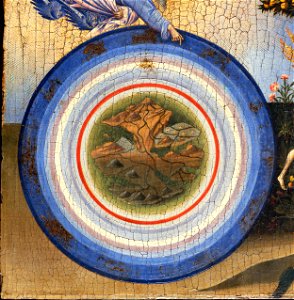
geocentric model
world map
map of ferrara by andrea bolzoni
corso ercole i d'este (ferrara)
historical images of ocean grove
new jersey
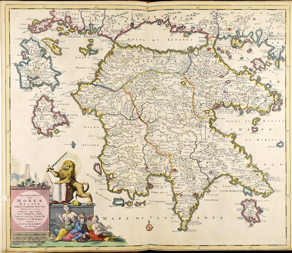
maps made in the 17th century
peloponnese
maps made in the 17th century
funen
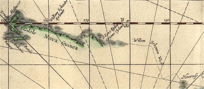
willem schouten
jacob le maire
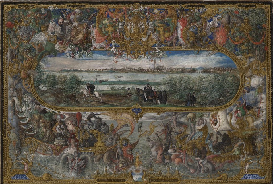
maps and topographical views by joris hoefnagel
drawings by joris hoefnagel
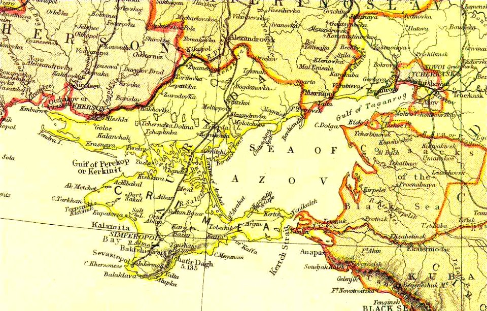
old maps of crimea
sea of azov
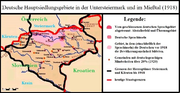
old maps of styria
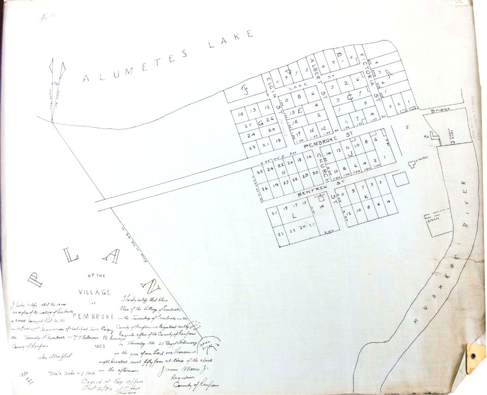
card
pembroke
ontario
1853 lithographs
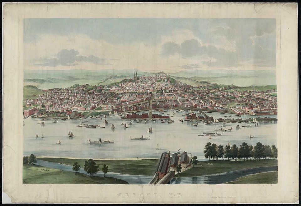
new york
maps with cartouches
atlas van der hagen
maps with cartouches
atlas van der hagen
collections of the musée national des beaux-arts du québec
18th-century maps of north america
berlin-spandau
spree
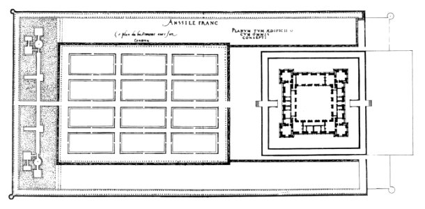
plans of castles in france
maps of baroque gardens
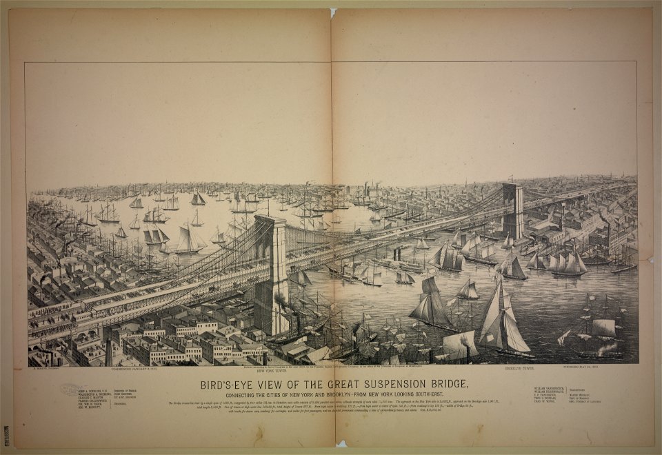
bird's eye view maps of new york city
gerard valck
livonia
drawings and watercolours of the royal museums greenwich
printing
maps made in the 17th century
romeyn de hooghe
topographical paintings in the amsterdam museum
paintings of amsterdam
architectural prints by wenzel hollar
lambeth palace in art
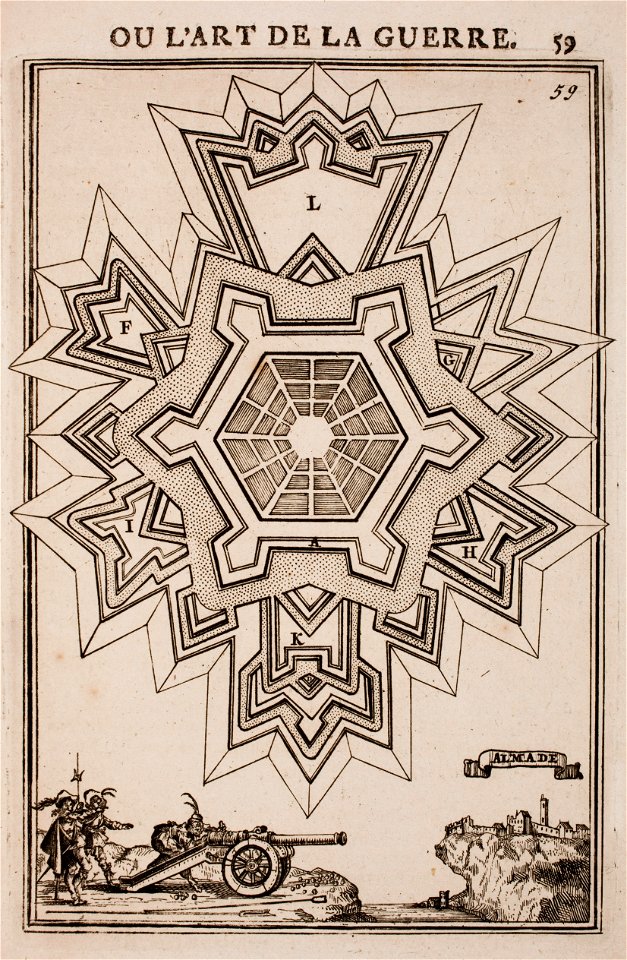
regular hexagons
cannons in art
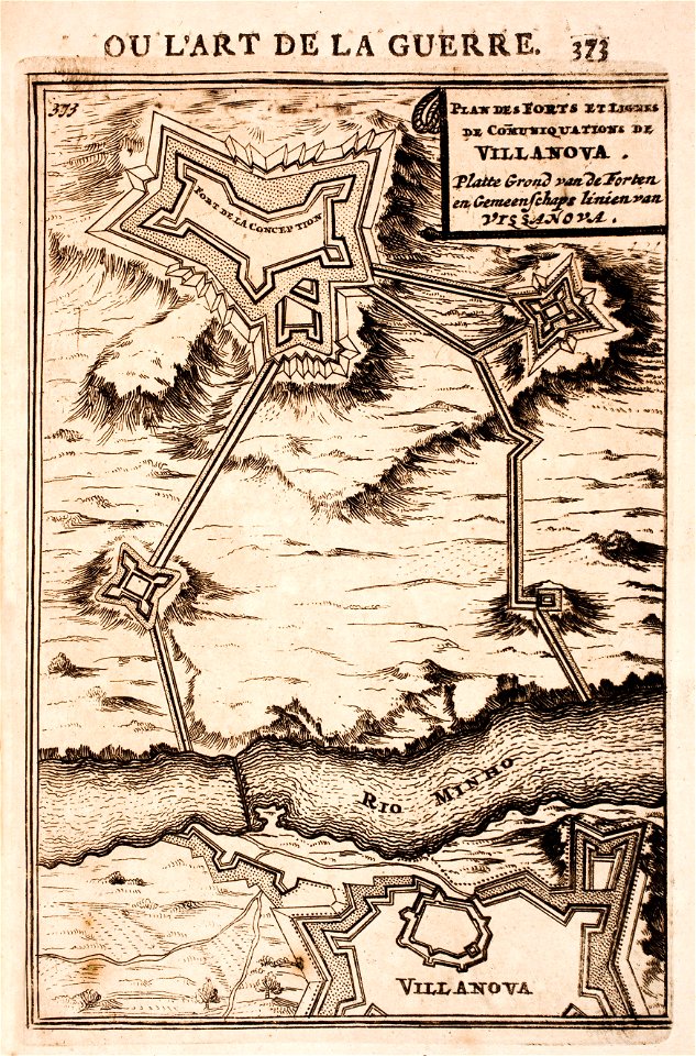
maps of fortifications in portugal
minho river in goián/cerveira
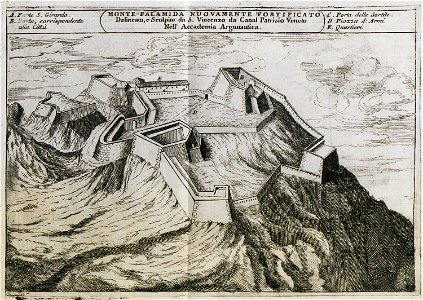
palamidi castle
palamidi
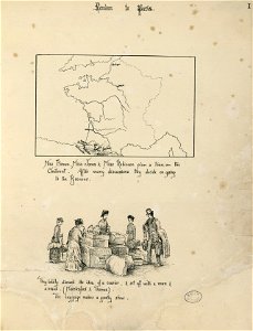
fonds ancely - bibliothèque municipale de toulouse - diverse
historical images of pyrénées-atlantiques
greece
italy
matthäus merians vogelschauplan von frankfurt am main (1628)
fahrgasse
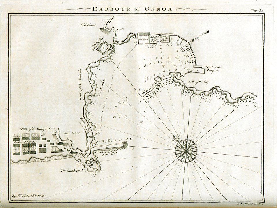
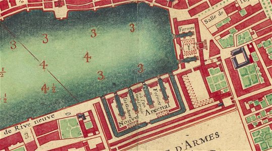
old maps of marseille
french navy bases
illustration
maps
ocean
maps
background
maps
background
maps
background
maps
spring
maps
background
maps
background
maps
background
maps
symbol
maps
background
maps
maps
boys
maps
boys
maps
bear
maps
boys
maps
flag
maps
flag
christmas
maps
background
maps
birthday
maps
maps
flag
icons
maps
world
ball
background
maps
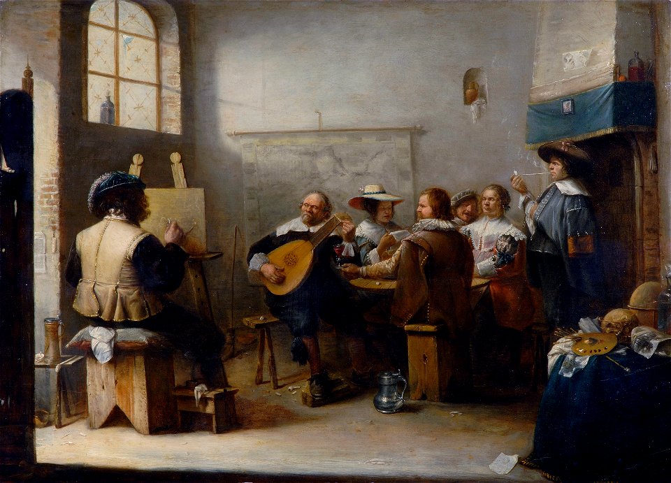
musicians
maps
background
maps
background
maps
background
maps
background
maps
maps
flag
background
maps
background
maps
rigged
maps
birthday
maps
background
maps
background
maps
icons
maps
maps
love
region
white
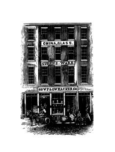
china
city
atlantis magni tomus quartus (biblioteca comunale di trento)
jan janssonius
collection frits lugt
maps in art
14601 - 14700 of 357,549
Next page
/ 3576