Log in
All resources
Create a design
Tools
357,549 Free Images of Map
maps in the library of congress
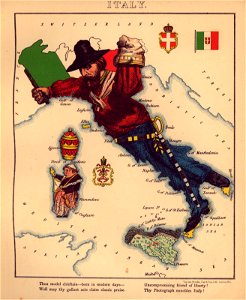
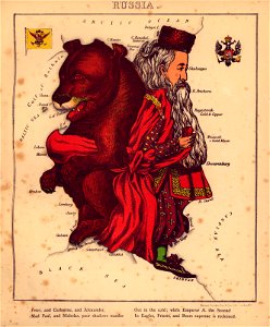
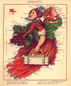
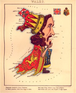
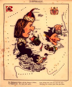
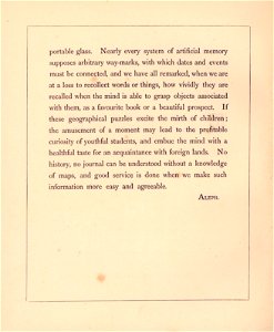
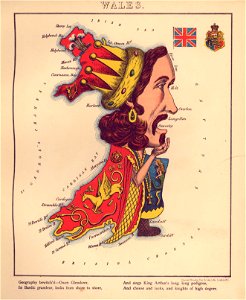
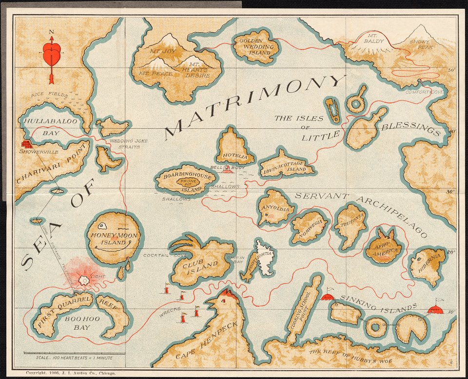
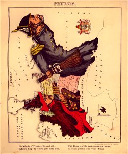
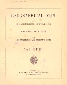
geographical fun - being humourous outlines of various countries
with an introduction and descriptive lines
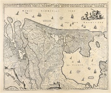
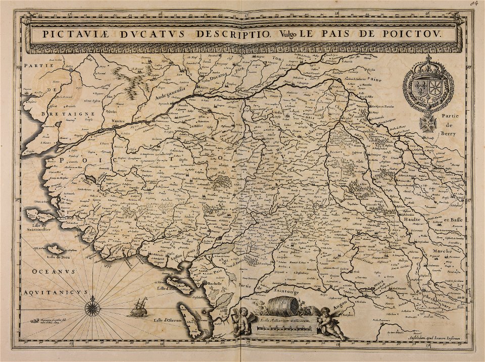
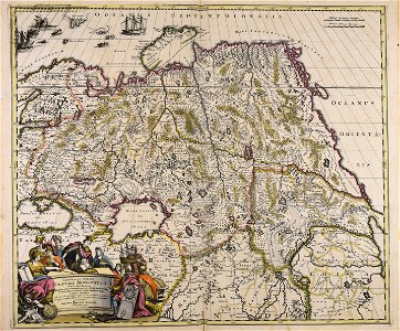
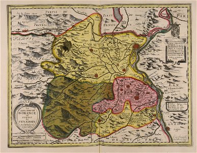
maps made in the 17th century
university of toronto wenceslas hollar digital collection
atlantis magni tomus quartus (biblioteca comunale di trento)
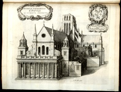
architectural prints by wenzel hollar
old st paul's cathedral
hollar maps and plans of london
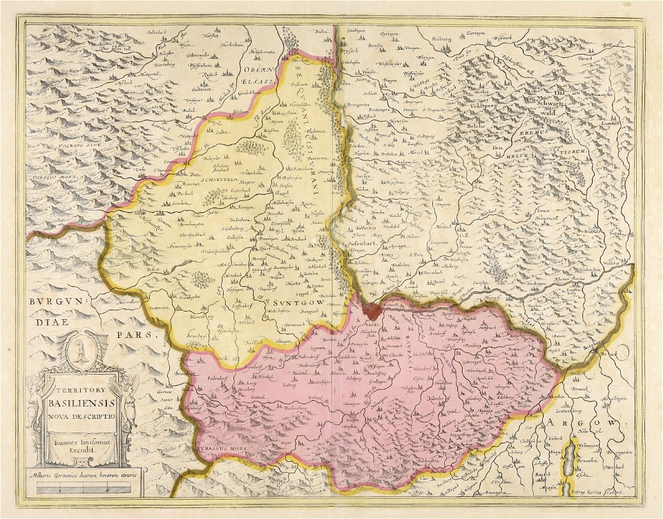
jan janssonius
architectural prints by wenzel hollar
old st paul's cathedral
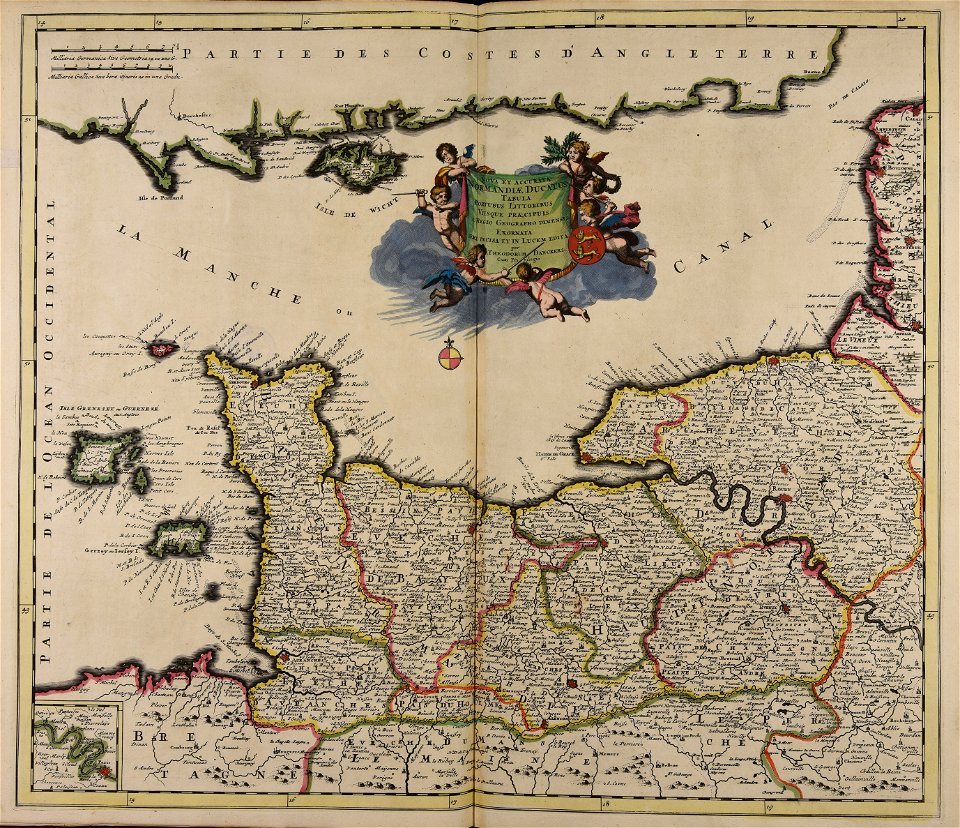
collections de la bibliothèque nationale et universitaire de strasbourg
18th-century maps of strasbourg
choir of bremen cathedral
pages with isbn errors
atlantis magni tomus quartus (biblioteca comunale di trento)
maps made in the 17th century
geographical fun - being humourous outlines of various countries
maps in the library of congress
geographical fun - being humourous outlines of various countries
maps in the library of congress
geographical fun - being humourous outlines of various countries
maps in the library of congress
geographical fun - being humourous outlines of various countries
maps in the library of congress
geographical fun - being humourous outlines of various countries
maps in the library of congress
geographical fun - being humourous outlines of various countries
maps in the library of congress
geographical fun - being humourous outlines of various countries
maps in the library of congress
geographical fun - being humourous outlines of various countries
maps in the library of congress
geographical fun - being humourous outlines of various countries
maps in the library of congress
geographical fun - being humourous outlines of various countries
maps in the library of congress
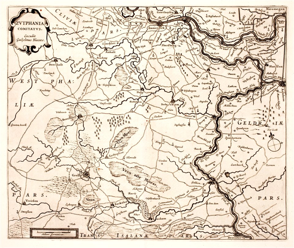
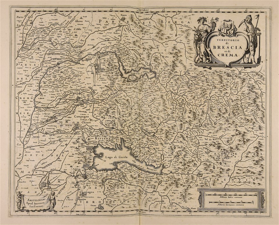
maps made in the 17th century
paesi bassi
history of sint-servaasbrug (maastricht)
onze lieve vrouwewal (maastricht)
cornell university library
utopia
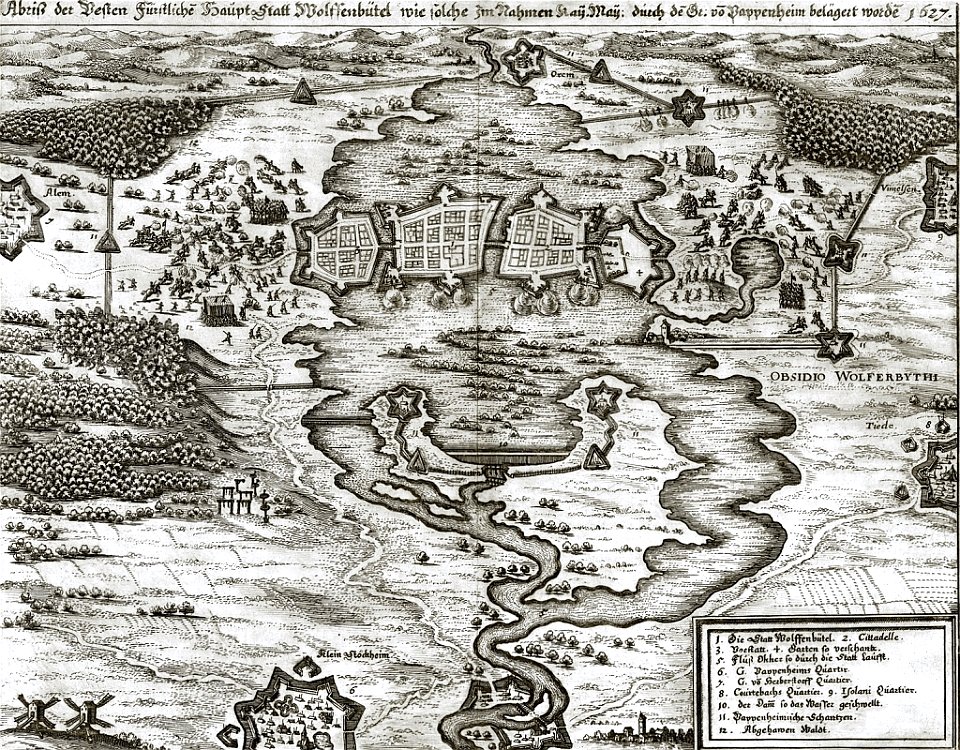
prints from hugo de groot grollæ obsidio at the peace palace library
1620s maps of the netherlands
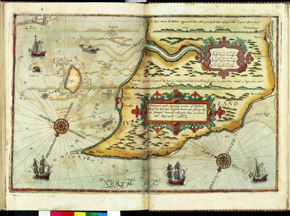
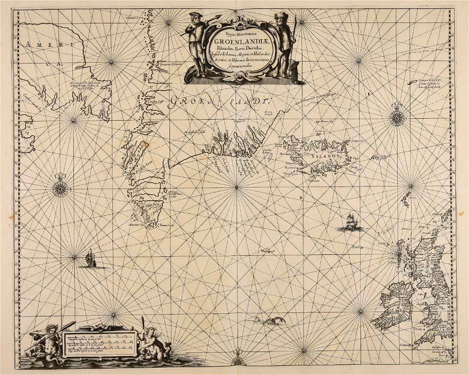
charts and maps of the royal museums greenwich
lucas janszoon waghenaer
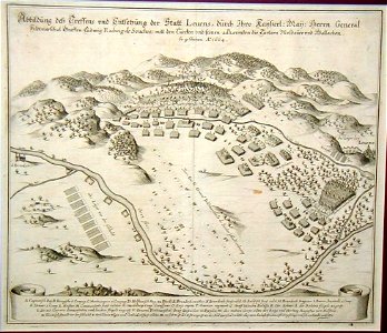
gottfried heinrich graf zu pappenheim
battles of the thirty years' war
charts and maps of the royal museums greenwich
maps
boys
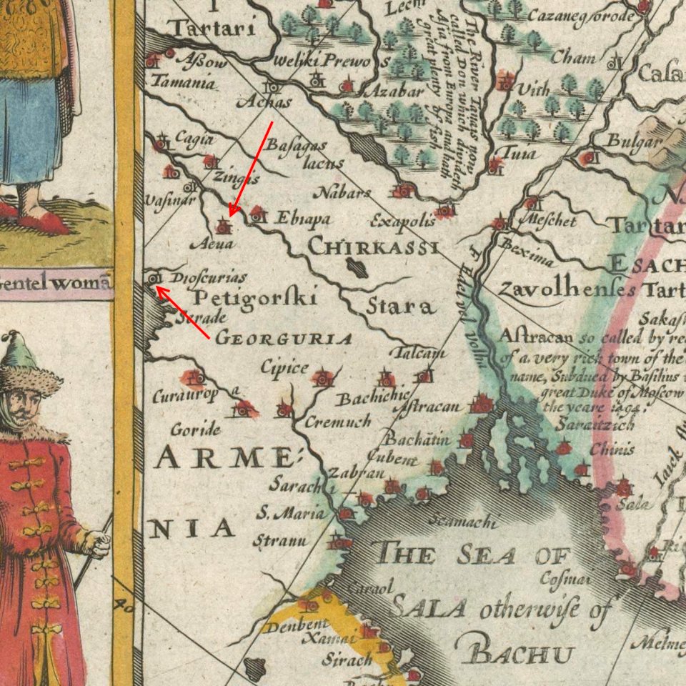
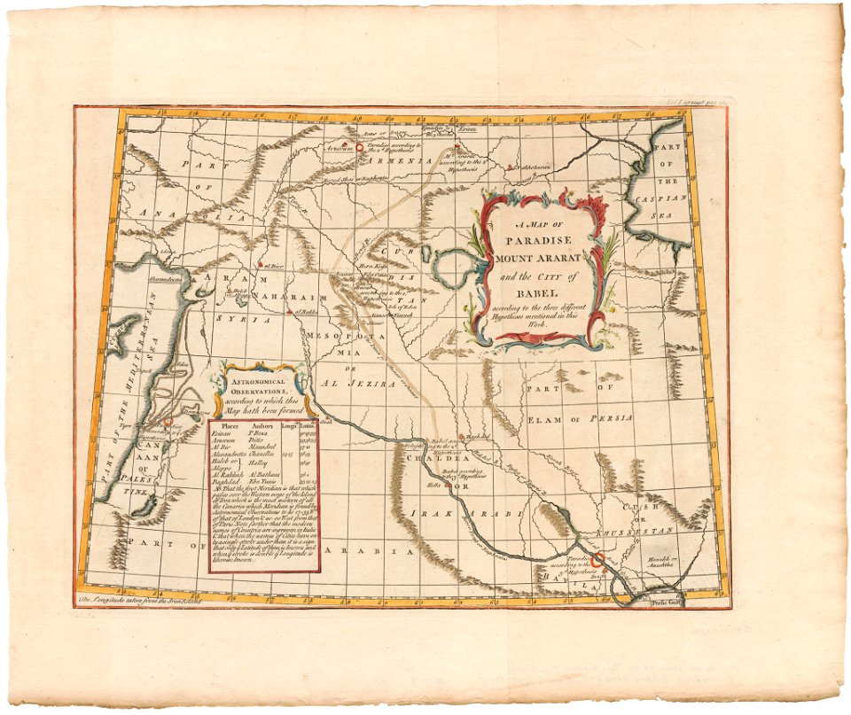
old maps of armenia
card
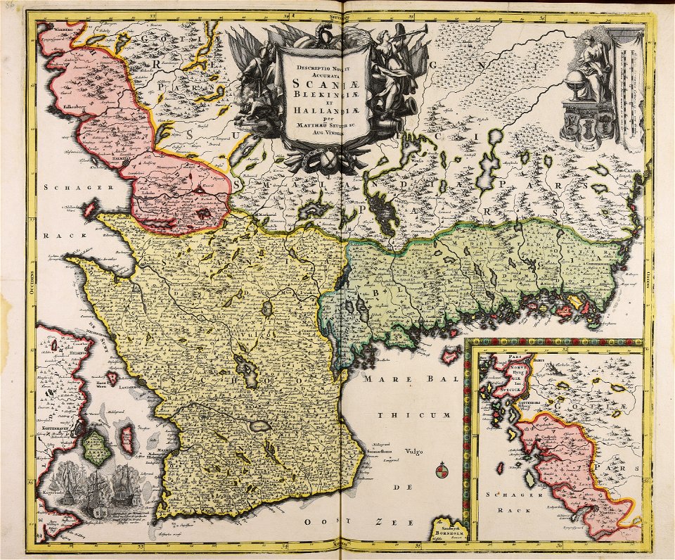
maps in skokloster castle
1763 maps
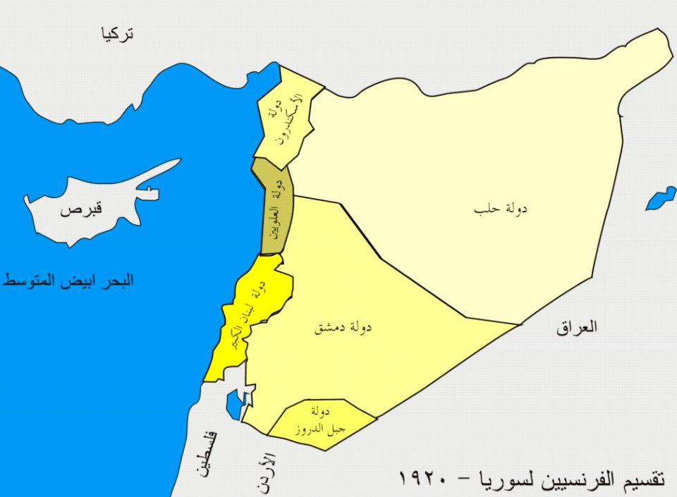
french mandate of syria
card
voyage pittoresque de la grèce
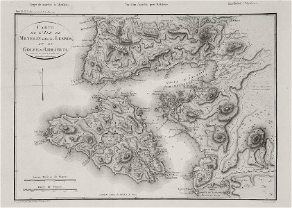
maps of lesbos
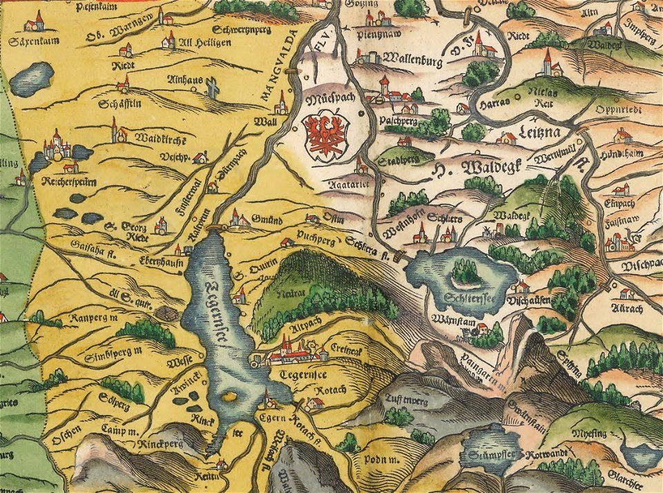
maps of bodenseekreis
history of bregenz
geographical fun - being humourous outlines of various countries
maps in the library of congress
geographical fun - being humourous outlines of various countries
maps in the library of congress
geographical fun - being humourous outlines of various countries
maps in the library of congress
geographical fun - being humourous outlines of various countries
maps in the library of congress
geographical fun - being humourous outlines of various countries
maps in the library of congress
geographical fun - being humourous outlines of various countries
maps in the library of congress
geographical fun - being humourous outlines of various countries
maps in the library of congress
geographical fun - being humourous outlines of various countries
maps in the library of congress
geographical fun - being humourous outlines of various countries
maps in the library of congress
geographical fun - being humourous outlines of various countries
maps in the library of congress
geographical fun - being humourous outlines of various countries
maps in the library of congress
geographical fun - being humourous outlines of various countries
maps in the library of congress
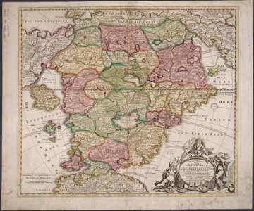
maps made in the 17th century
jan janssonius
army
maps
architectural prints by wenzel hollar
old st paul's cathedral
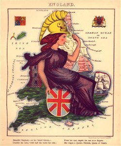
english-language title pages
title pages of maps
atlantis magni tomus quintus (biblioteca comunale di trento)
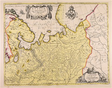
maps made in the 17th century
maps made in the 17th century
jan janssonius
architectural prints by wenzel hollar
old st paul's cathedral
atlantis magni tomus primus (biblioteca comunale di trento)
maps made in the 17th century
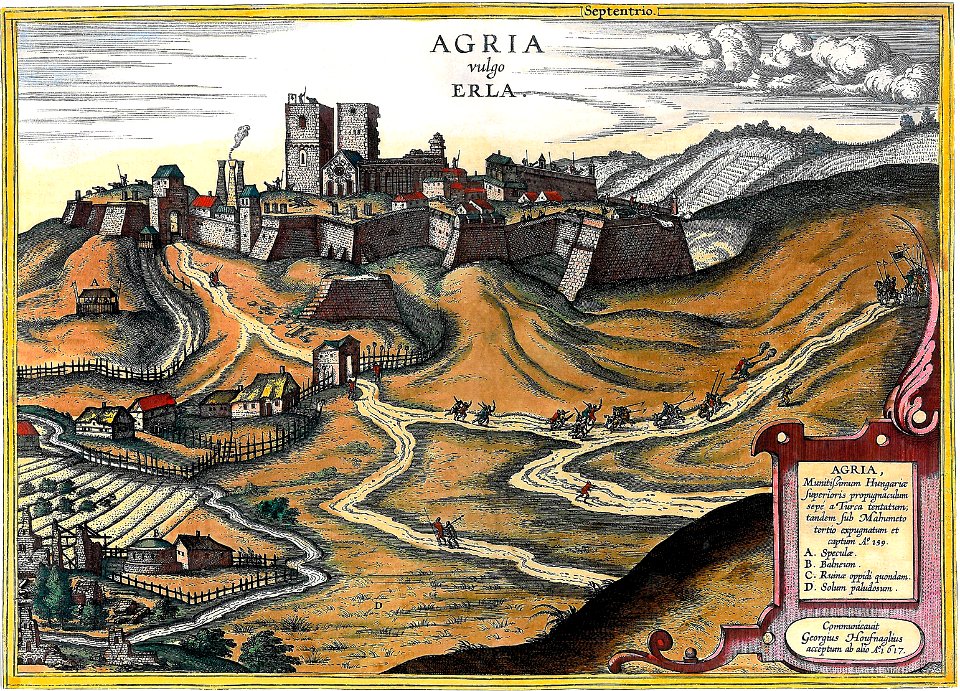
maps and topographical views by joris hoefnagel
eger
maps made in the 17th century
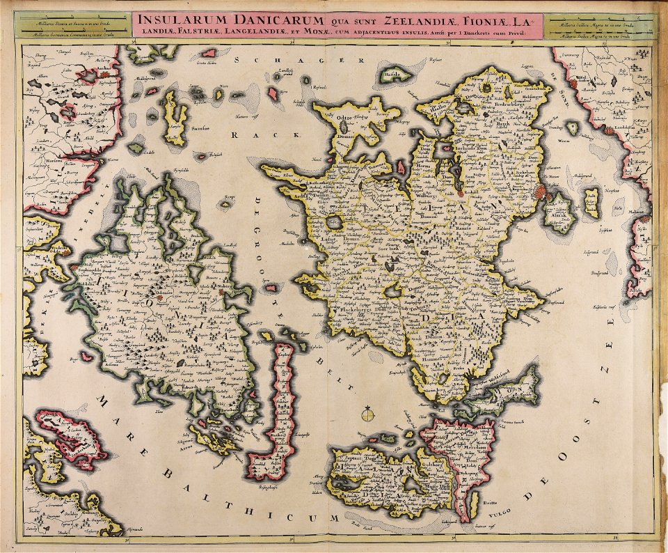
danimarca
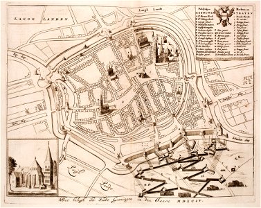
old maps of groningen (city)
siege of groningen (1594)
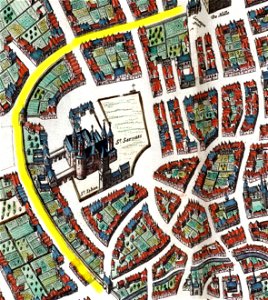
first medieval city wall of maastricht
history of vrijthof (maastricht)
paradise
heaven
engravings by matthäus merian
1672 engravings
walter kaudern expedition to celebes
walter kaudern
prints from the peace palace library
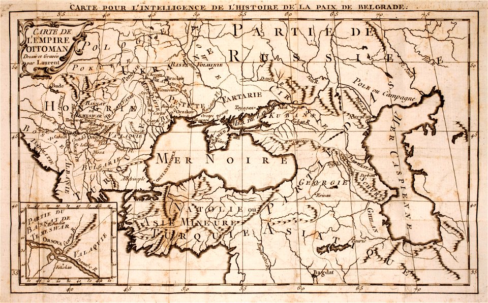
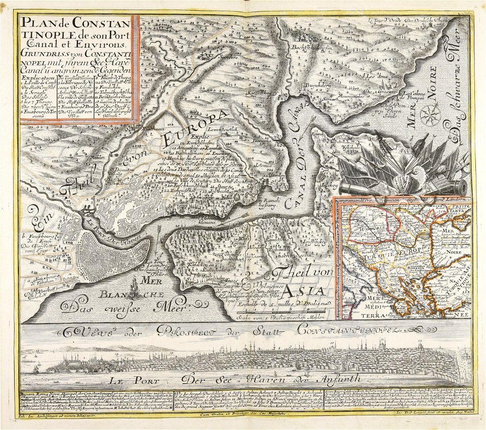
maps of the ottoman empire
media contributed by agad presented in former polska.pl portal
old maps of pomerania
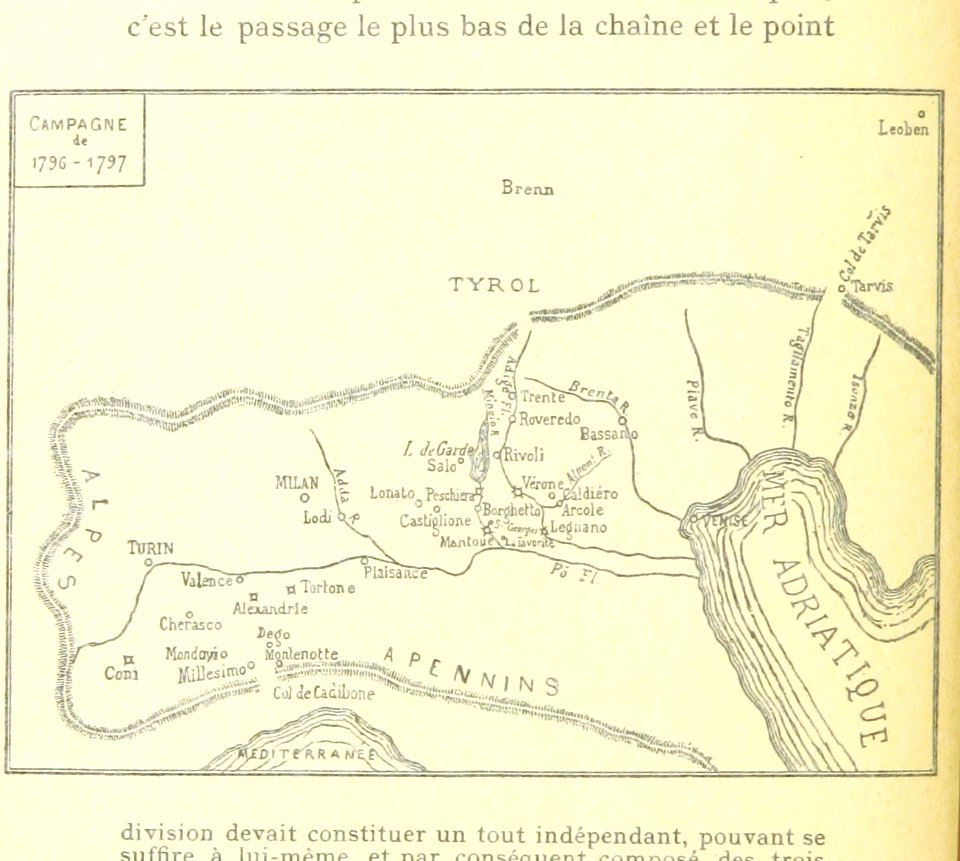
maps of the war of the first coalition
1792-1892
historical images of the cathedral (ferrara)
map of ferrara by andrea bolzoni
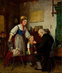
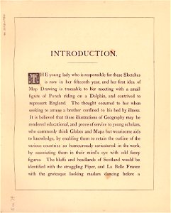
educators in art
schoolgirl
pages using map template with incorrect parameter
nieuwe hollandse scheeps-bouw (1695)
network
maps
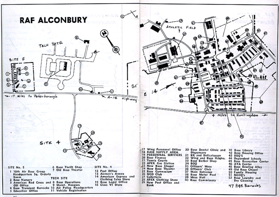
maps of raf alconbury
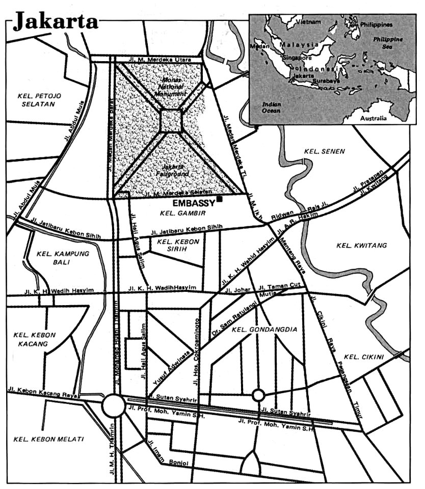
road maps of indonesia
maps of jakarta
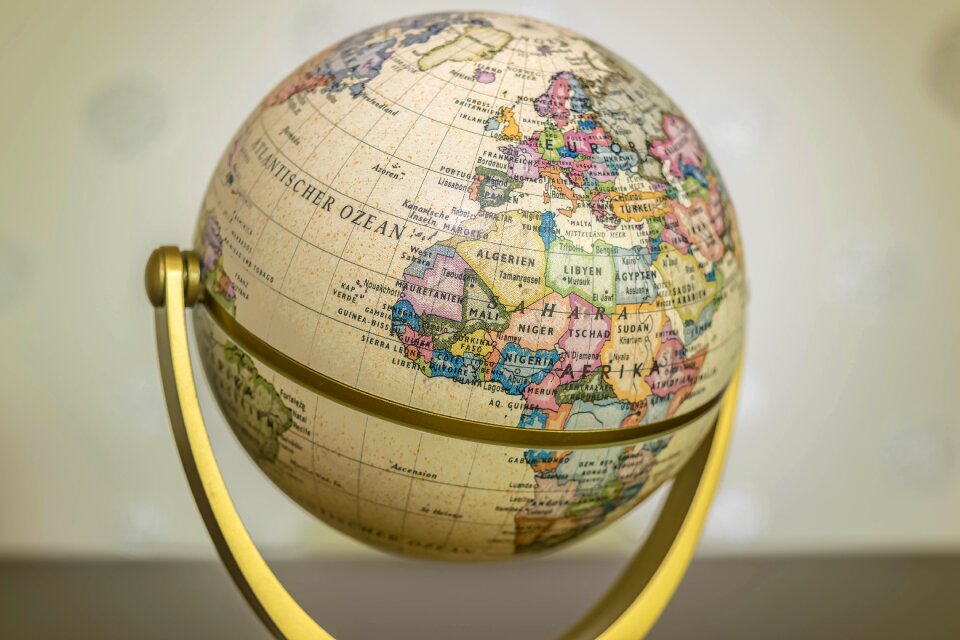
planet
maps
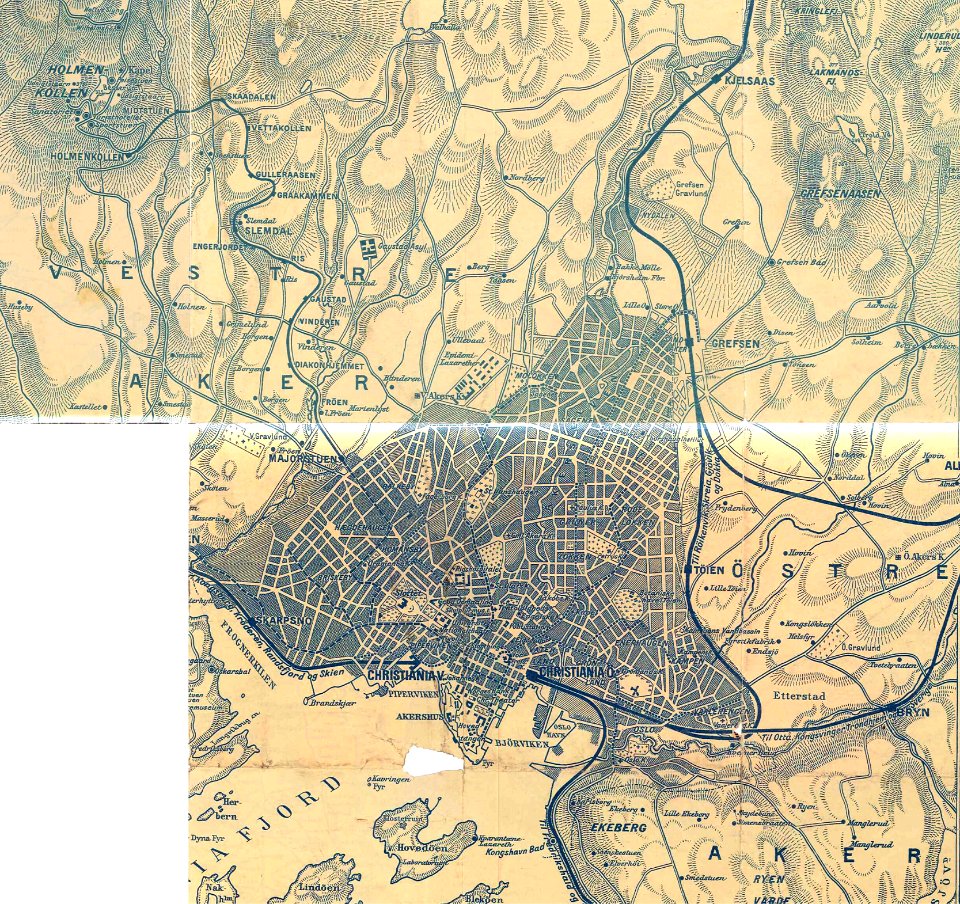
rail transport maps of norway
old oslo tram maps
maps made in the 17th century
jan janssonius
maps with cartouches
atlas van der hagen
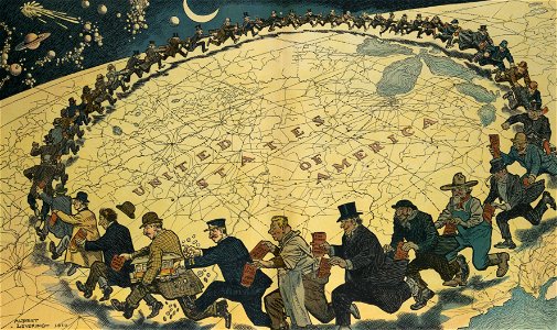
puck
1910
maps made in the 17th century
jan janssonius
prints from fricx table des cartes des pays-bas at the peace palace library
old maps of flanders
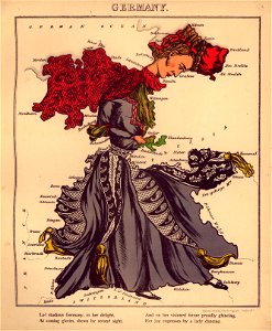
germany
1568
atlantis magni tomus quartus (biblioteca comunale di trento)
maps made in the 17th century
topographic maps made in 18th century
constantinople
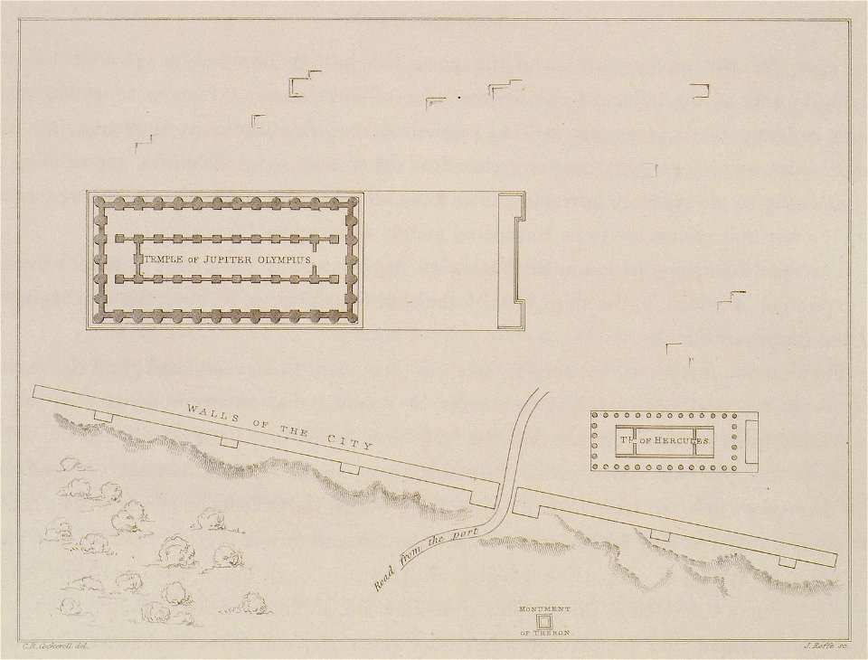
the antiquities of athens and other places in greece (1830)
cornell university library
marriage in art
atlantis magni tomus quintus (biblioteca comunale di trento)
maps made in the 17th century
geographical fun - being humourous outlines of various countries
maps in the library of congress
geographical fun - being humourous outlines of various countries
maps in the library of congress
geographical fun - being humourous outlines of various countries
maps in the library of congress
geographical fun - being humourous outlines of various countries
maps in the library of congress
geographical fun - being humourous outlines of various countries
maps in the library of congress
geographical fun - being humourous outlines of various countries
maps in the library of congress
geographical fun - being humourous outlines of various countries
maps in the library of congress
geographical fun - being humourous outlines of various countries
maps in the library of congress
geographical fun - being humourous outlines of various countries
maps in the library of congress
geographical fun - being humourous outlines of various countries
maps in the library of congress
atlantis magni tomus primus (biblioteca comunale di trento)
johann baptist homann
maps made in the 17th century
jan janssonius
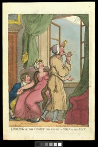
comets in art
printing
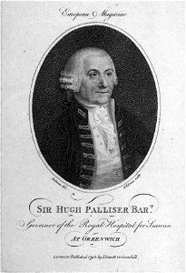
drawings and watercolours of the royal museums greenwich
printing
atlantis magni tomus primus (biblioteca comunale di trento)
maps made in the 17th century
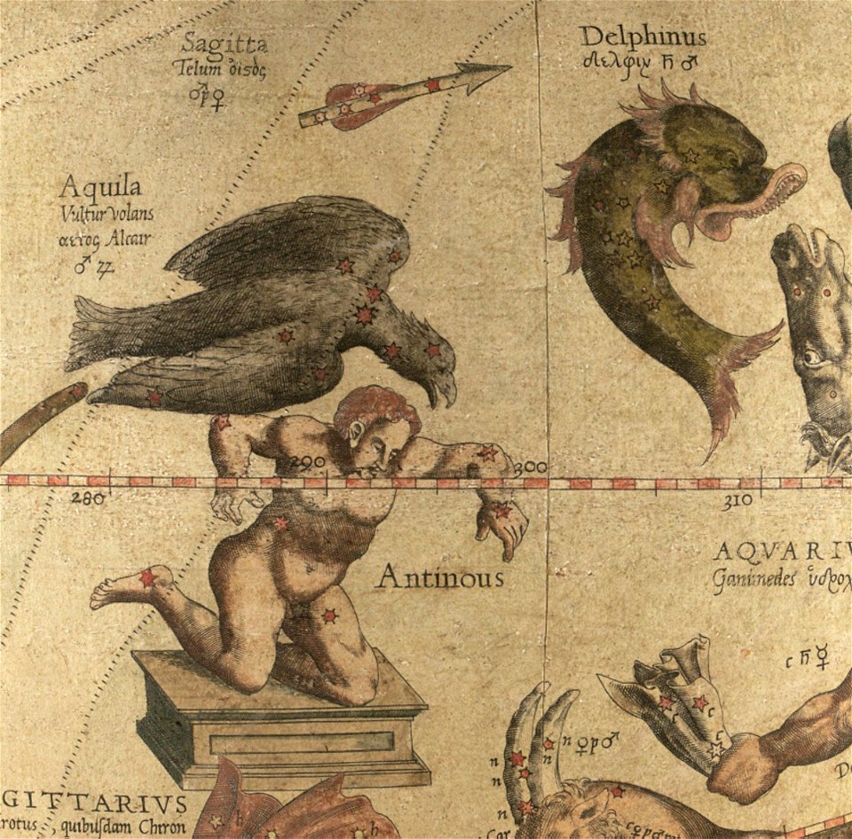
sagitta (constellation)
aquila (constellation)
maps by jacques-nicolas bellin
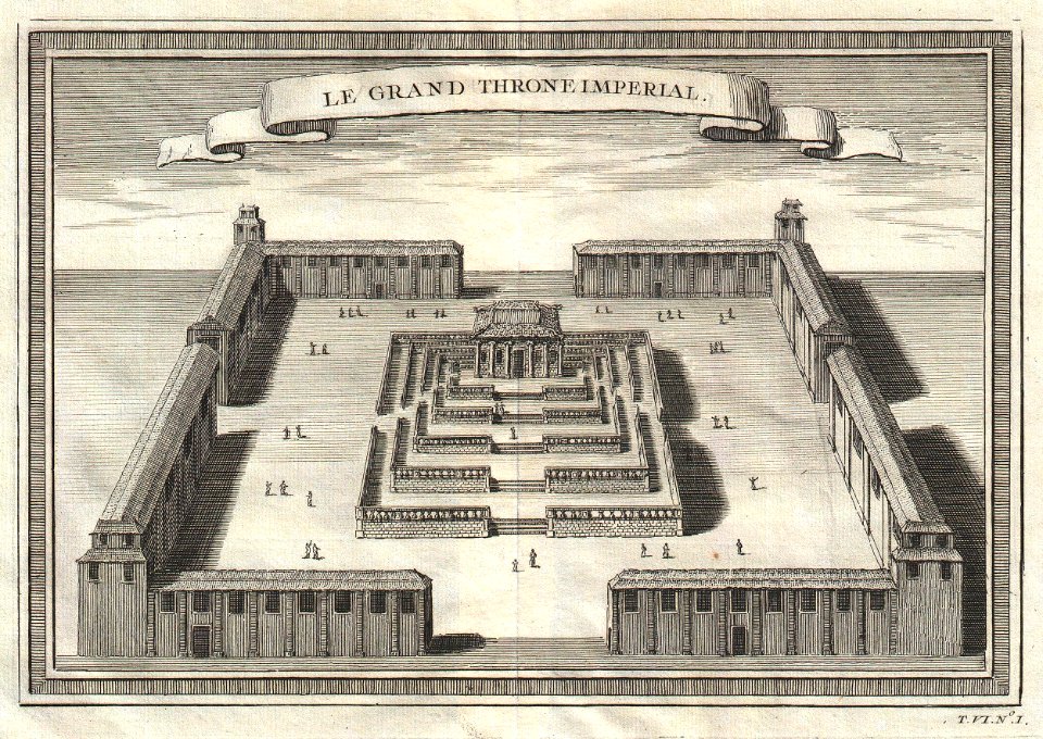
forbidden city in art
atlantis magni tomus primus (biblioteca comunale di trento)
maps made in the 18th century
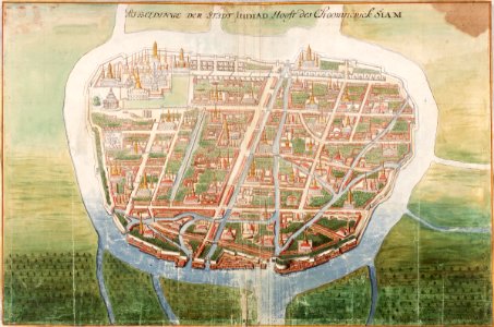
ayutthaya kingdom
1665
1856 maps
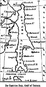
sakhalin
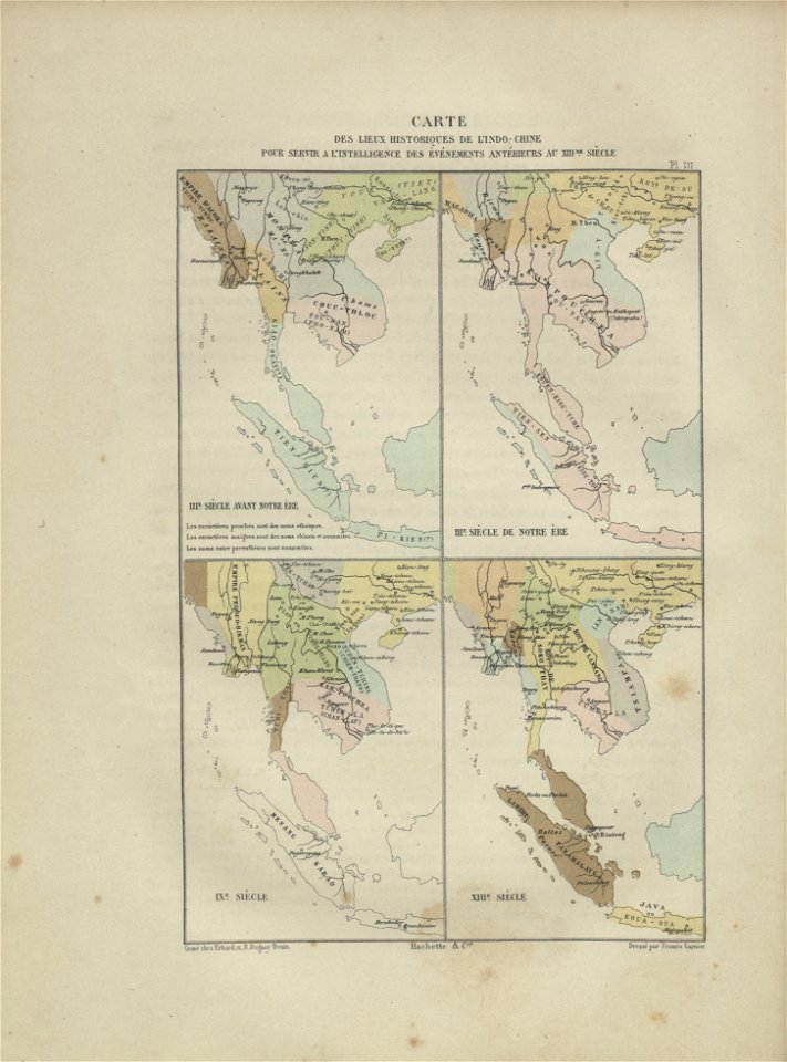
maps of indochina
francis garnier
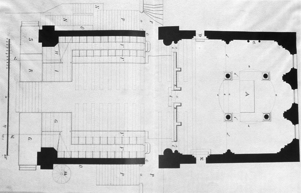
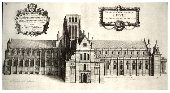
architectural prints by wenzel hollar
old st paul's cathedral
university of toronto wenceslas hollar digital collection
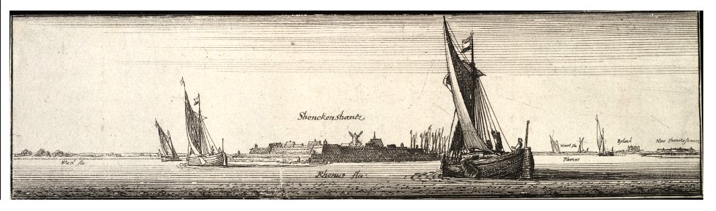
sailing barge
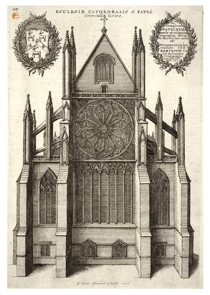
architectural prints by wenzel hollar
old st paul's cathedral
14701 - 14800 of 357,549
Next page
/ 3576