Log in
All resources
Create a design
Tools
357,549 Free Images of Map
maps
geography
flag
countries
border
national
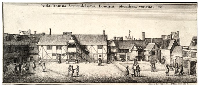
university of toronto wenceslas hollar digital collection
hollar maps and plans of london
world
architectural prints by wenzel hollar
maps made in the 17th century
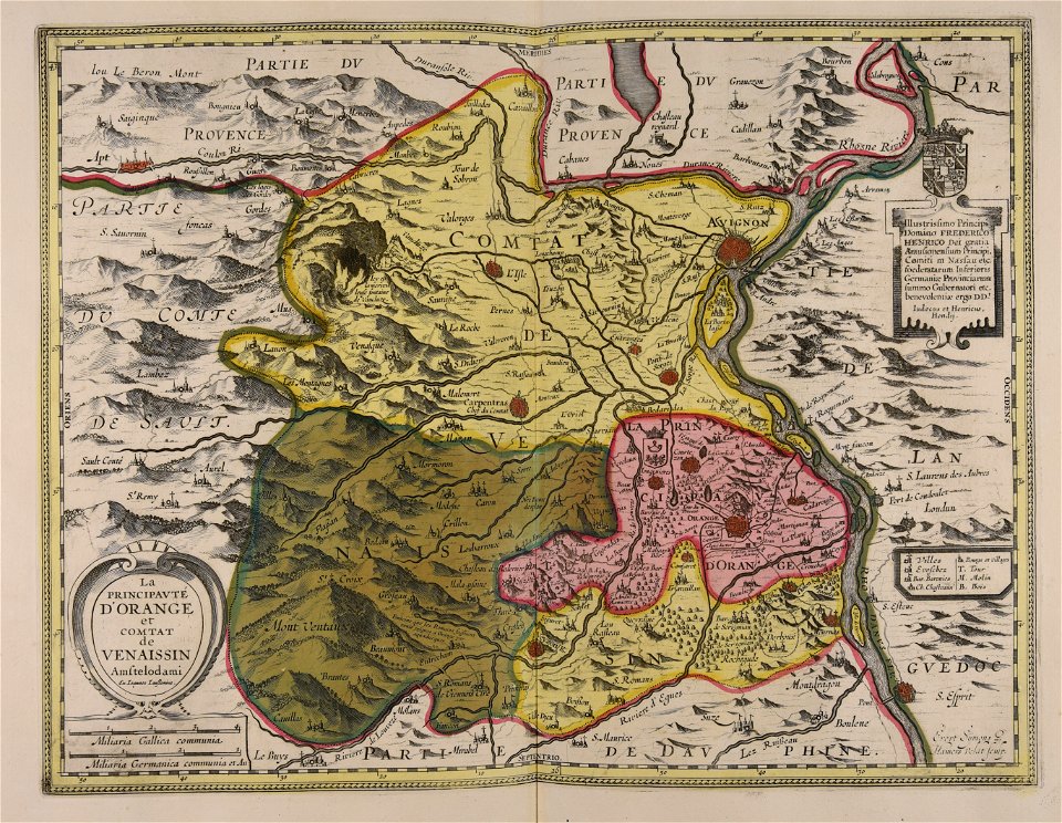
jan janssonius
tarot
maps
tarot
maps
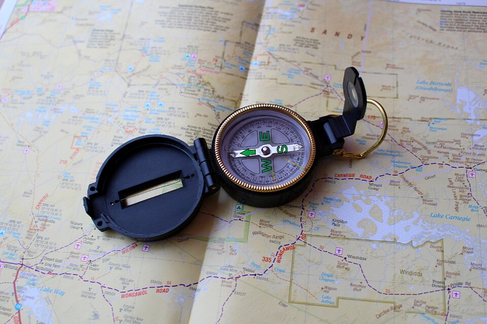
compass
maps
information
maps
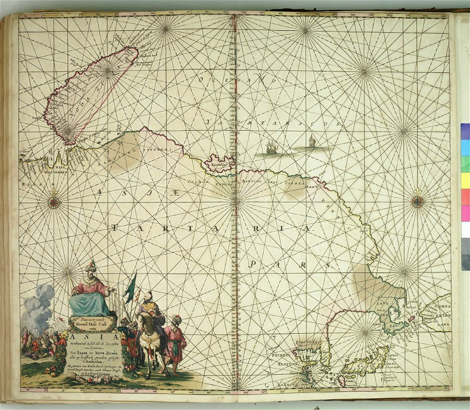
japan
maps
window
maps
chalk
maps
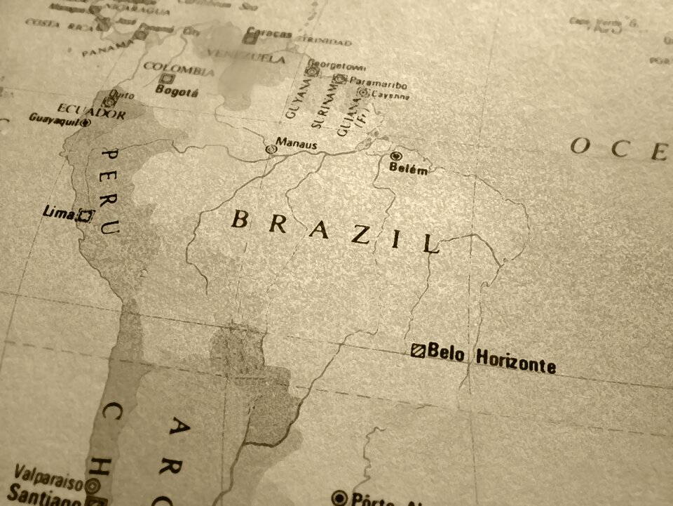
brazil
maps
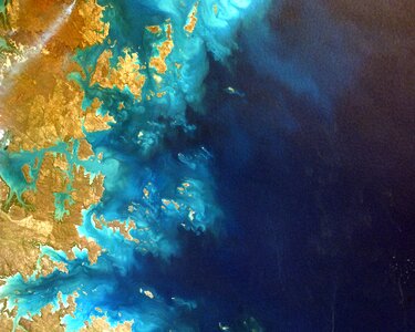
planet
maps
security
maps
old maps of tbilisi
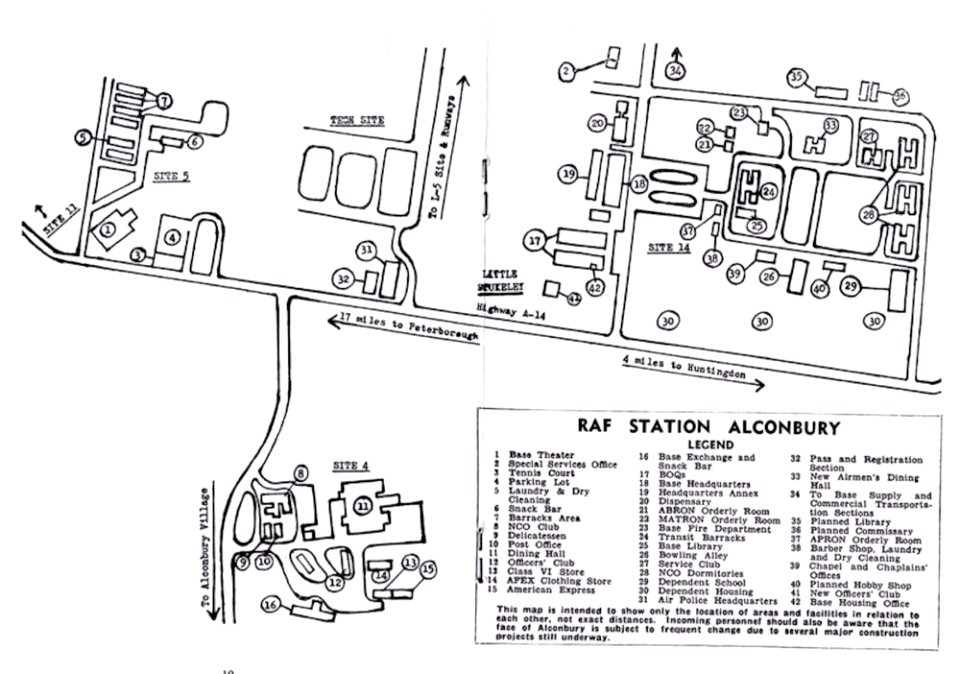
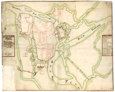
maps of raf alconbury
old administrative maps of the ottoman empire
1909 maps of asia
background
maps
yellow
border
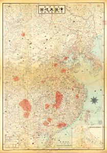
old maps of taiwan
chinese writing
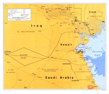
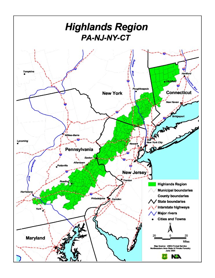
new jersey
new york
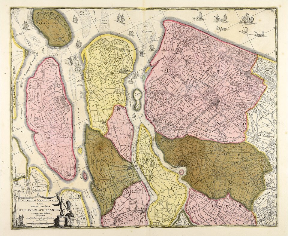
atlas van der hagen
copper engraving
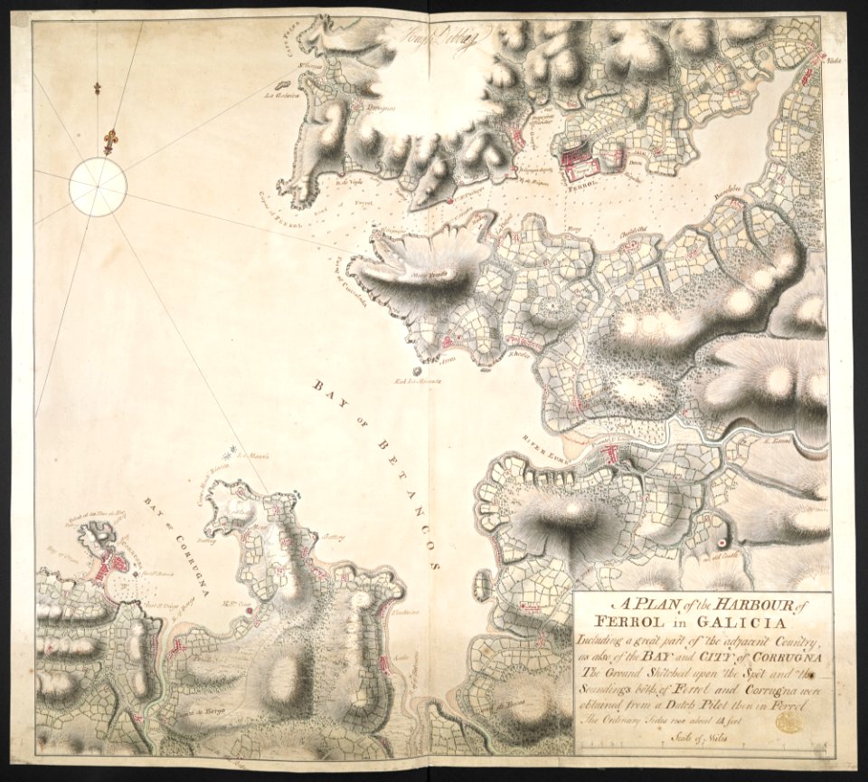
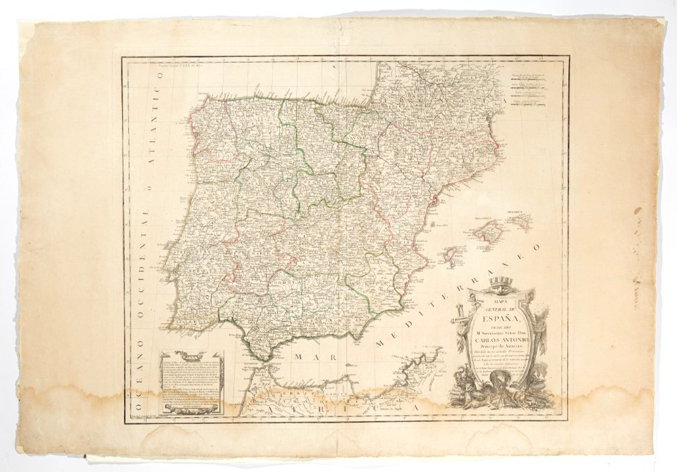
old maps of the province of a coruña
1767 in galicia (spain)
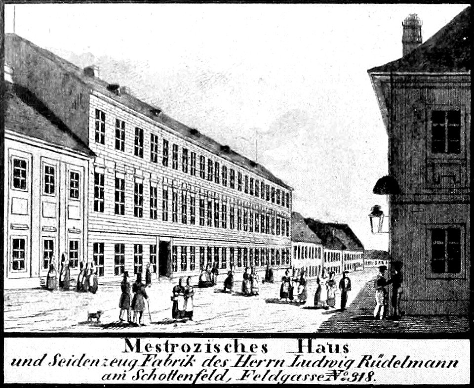
historical images of neubau
vienna in the 1830s
airmail stamps of the united states
blue stamps
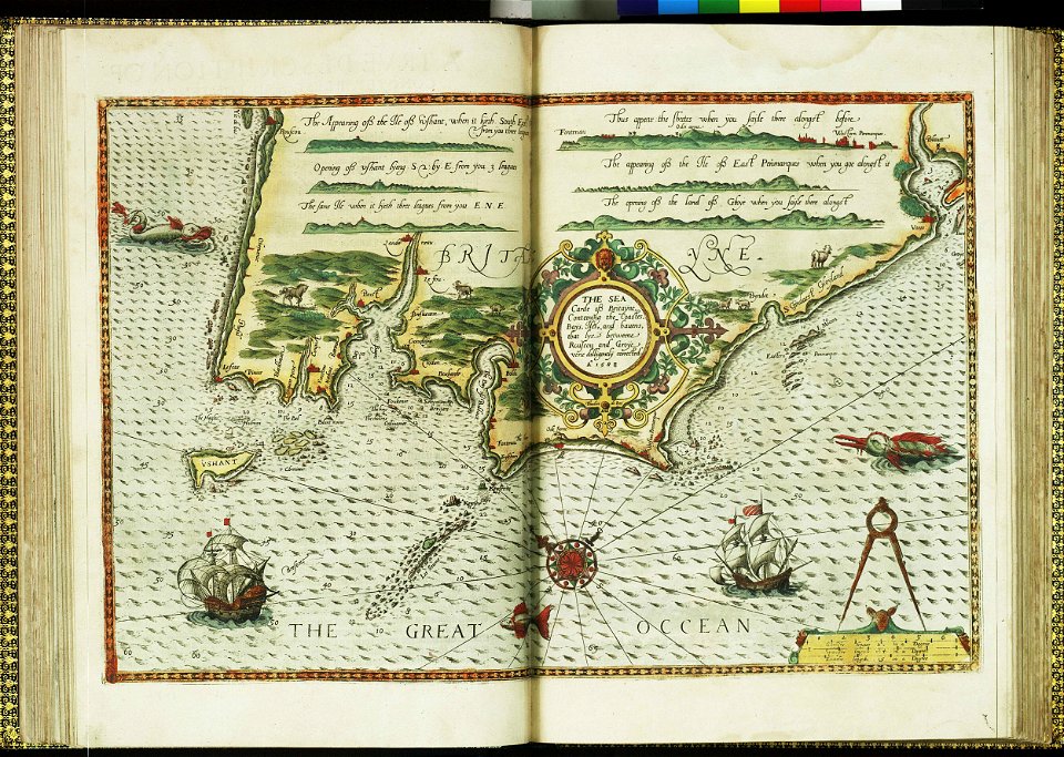
charts and maps of the royal museums greenwich
lucas janszoon waghenaer
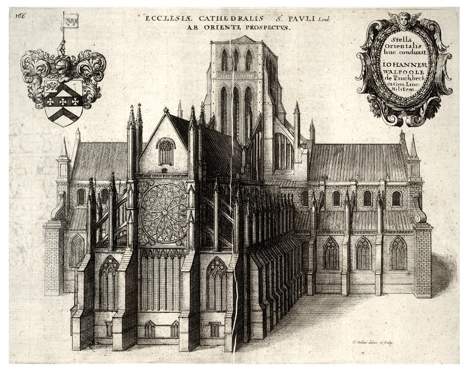
architectural prints by wenzel hollar
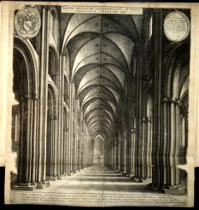
old st paul's cathedral
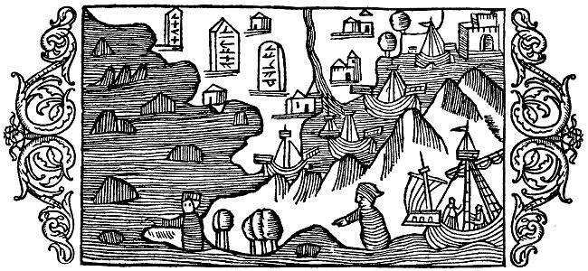
historia de gentibus septentrionalibus
värmdö,
floor plans of paris
engravings of paris
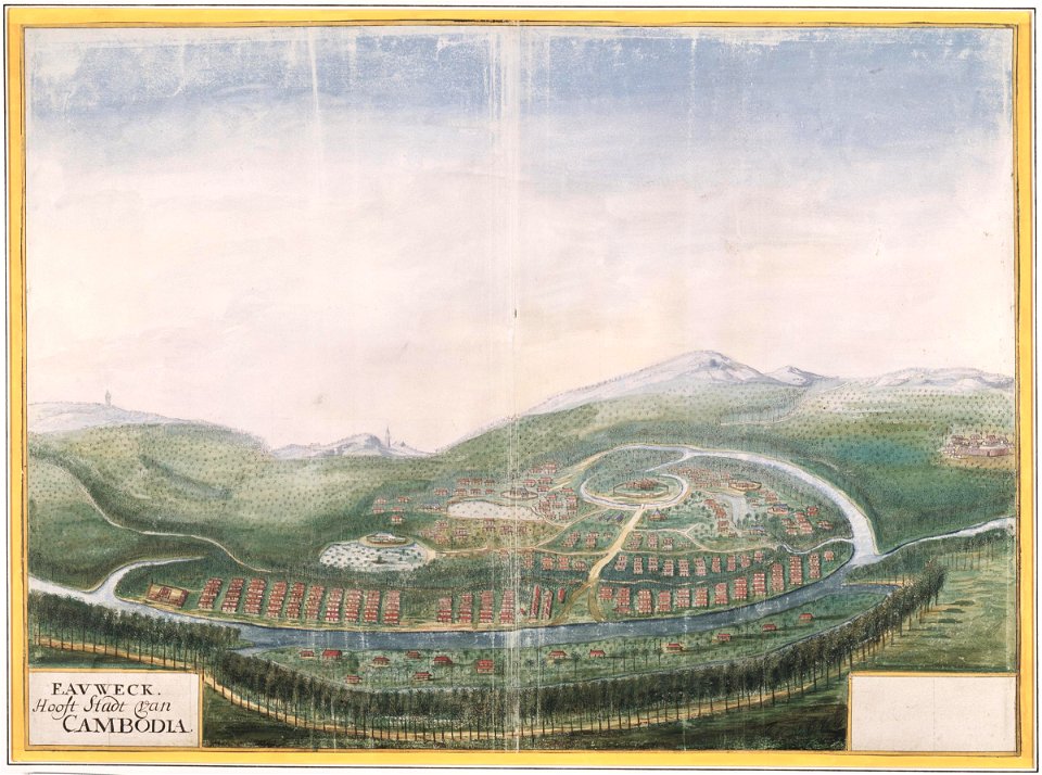
history of cambodia
1665
oude kerk amsterdam in art
frederick de wit
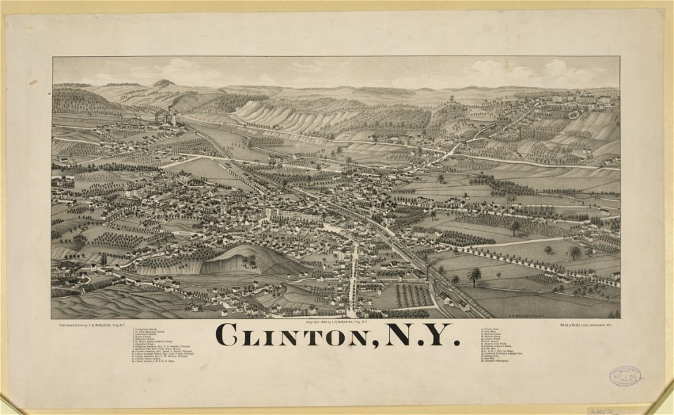
new york
clinton
maps
flag
self-published work
cc-zero
unit size indicators for tactical signs and map symbols of nato
self-published work
icons
info
maps
flag
australia
maps
old maps of the iberian peninsula
maps in skokloster castle
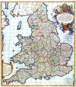
english society
somerset
school
sea
butterfly
maps
background
maps
background
maps
lithographs of paris
1877 in paris
erik dahlbergh
belarus
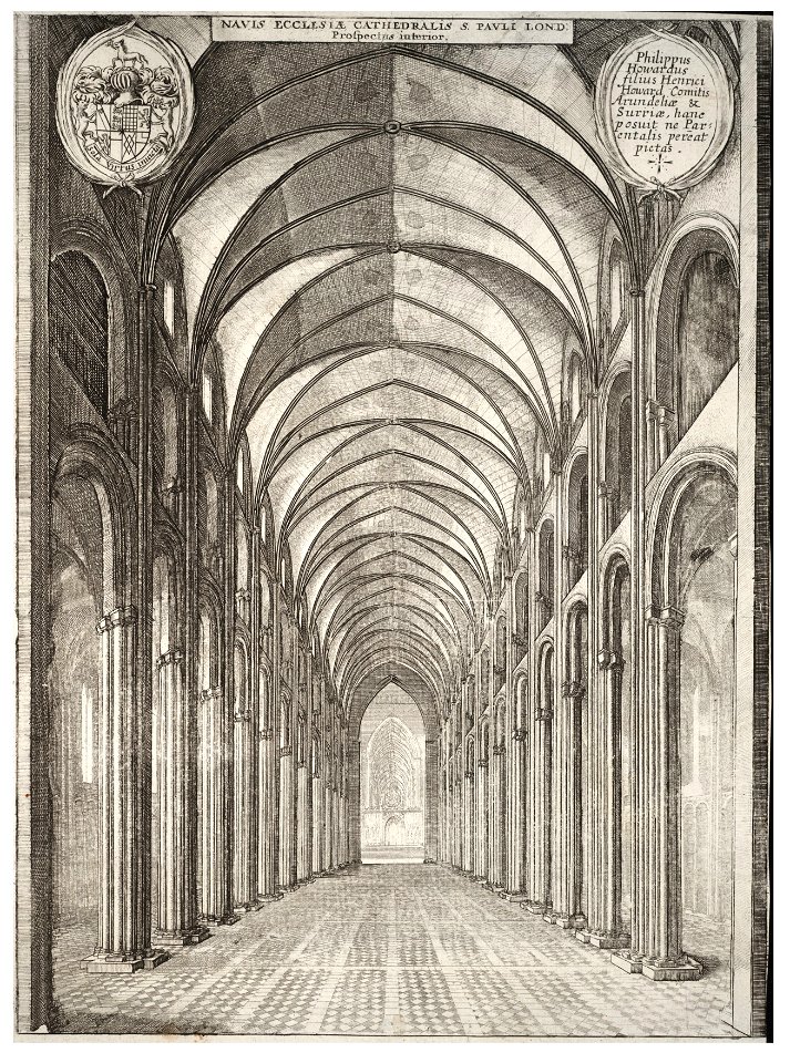
architectural prints by wenzel hollar
old st paul's cathedral
old maps of europe
printing
charts and maps of the royal museums greenwich
lucas janszoon waghenaer
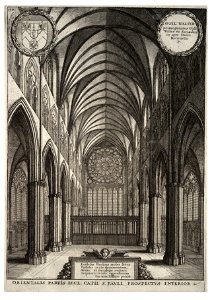
architectural prints by wenzel hollar
old st paul's cathedral
architectural prints by wenzel hollar
old st paul's cathedral
architectural prints by wenzel hollar
london
atlantis magni tomus quintus (biblioteca comunale di trento)
maps made in the 17th century
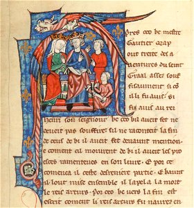
bibliothèque nationale de france français illuminated manuscripts
henry ii of england in miniatures
charts and maps of the royal museums greenwich
maps made in the 18th century
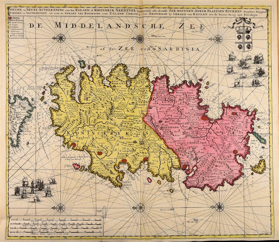
sardinia
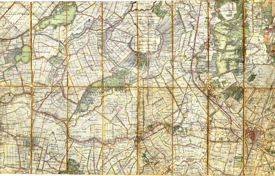
old maps of north holland
old maps of utrecht
background
maps
yellow
maps
maps
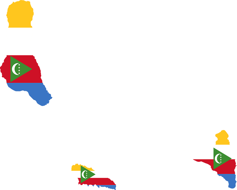
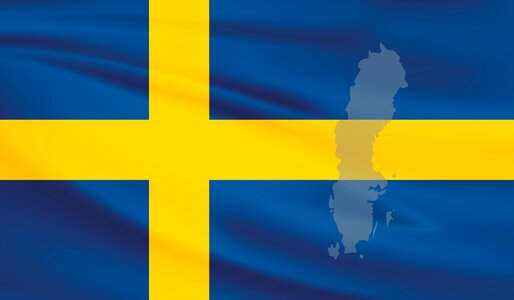
flag
maps
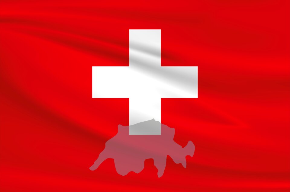
flag
maps
flag
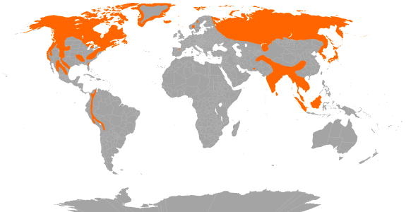
continent
maps
background
maps
chart
city
earth
maps
device
design
earth
gold
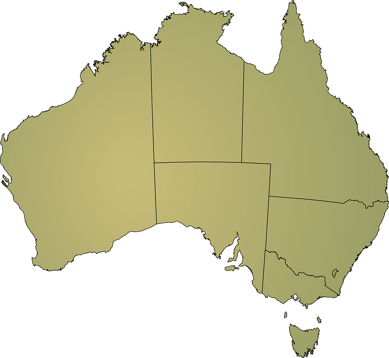
australia
geography
maps
flag
travel
maps
self-published work
app-6
self-published work
app-6
self-published work
cc-zero
maps
flag
self-published work
map icons
unit size indicators for tactical signs and map symbols of nato
self-published work
unit size indicators for tactical signs and map symbols of nato
self-published work
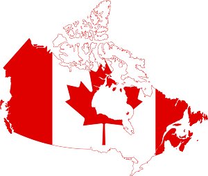
maps
flag
maps
flag
airplane
earth
self-published work
diamond shape
travel
maps
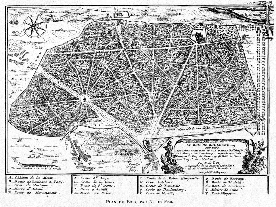
illustrations from h.corbel
nicolas de fer
atlantis magni tomus primus (biblioteca comunale di trento)
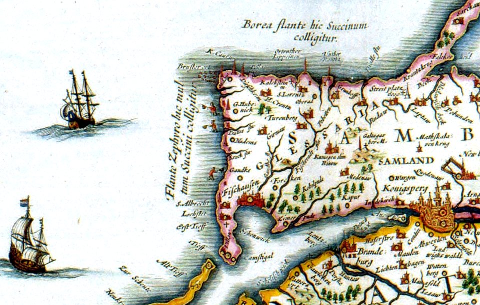
17th-century maps of schleswig-holstein
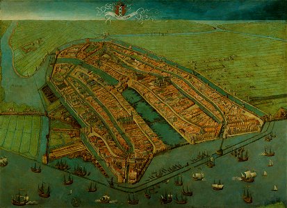
16th-century oil on panel paintings in the netherlands
paintings of amsterdam
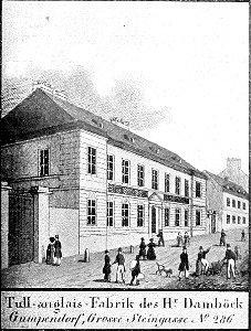
historical images of mariahilf
vienna in the 1830s
topographical paintings in the centraal museum
16th-century paintings in the centraal museum
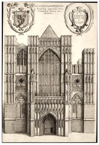
architectural prints by wenzel hollar
westminster abbey in art
prints by wenzel hollar
stranded
atlantis magni tomus secundus (biblioteca comunale di trento)
maps made in the 17th century
atlantis magni tomus secundus (biblioteca comunale di trento)
maps made in the 17th century
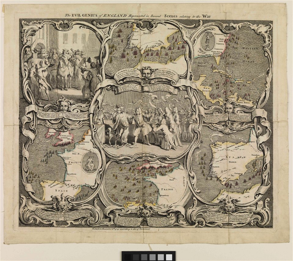
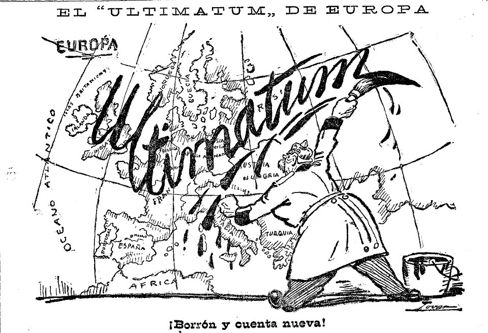
caricatures by manuel tovar in el imparcial
1914
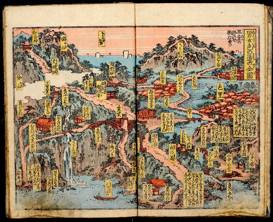
ehon in the honolulu museum of art
richard lane collection
maps in skokloster castle
old map
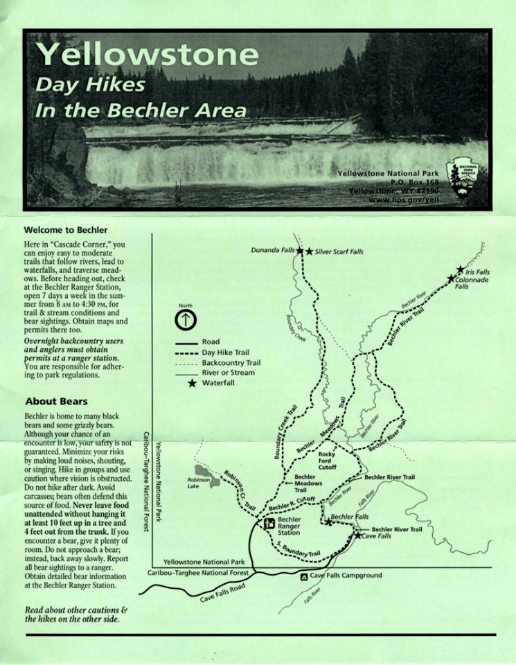
hiking maps of the united states
card
old maps of ireland
ireland
novus atlas sinensis
old maps of jiangsu
shopping
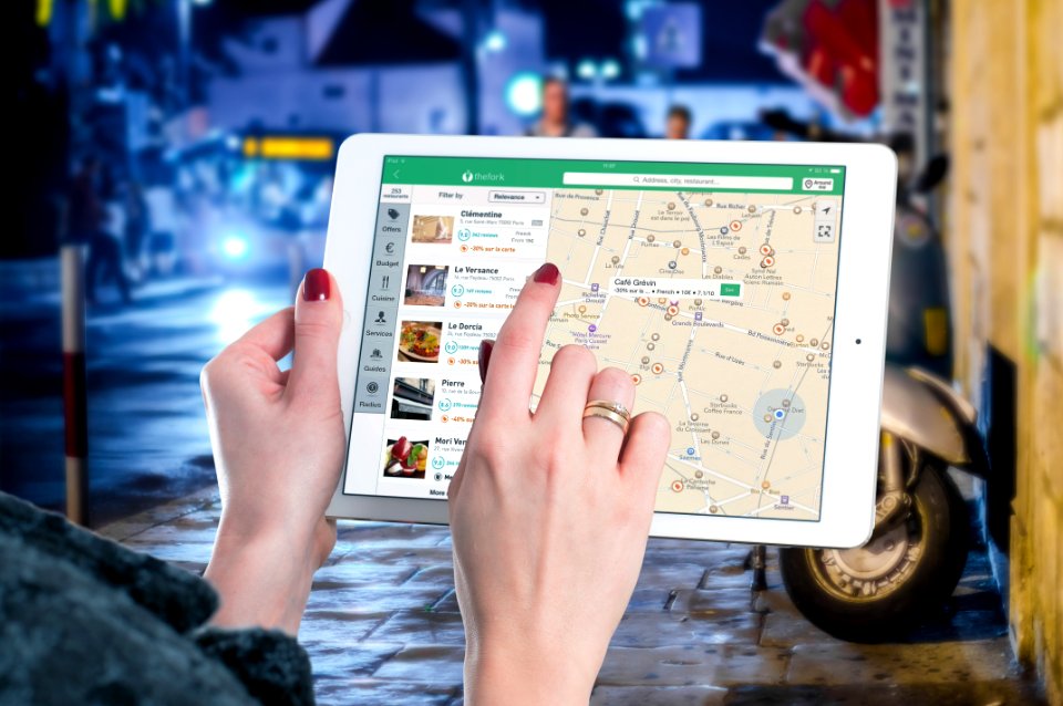
maps
information
internet
travel
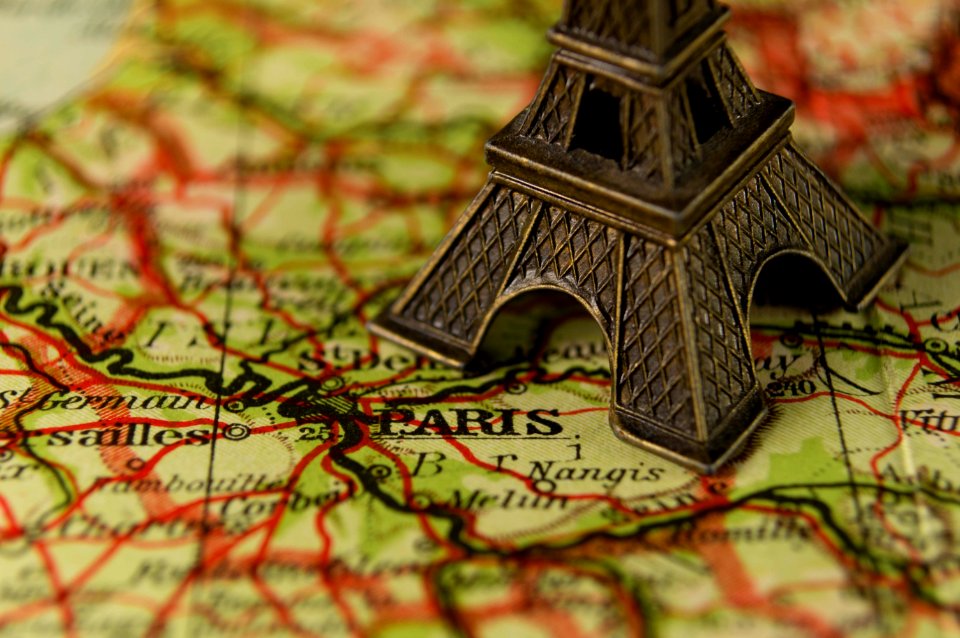
maps
money
maps
mountain
maps
14801 - 14900 of 357,549
Next page
/ 3576