Log in
All resources
Create a design
Tools
357,549 Free Images of Map
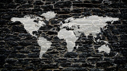
maps
world
background
blue
abstract
template
computer
global
digital
brochure
accessory
business
application
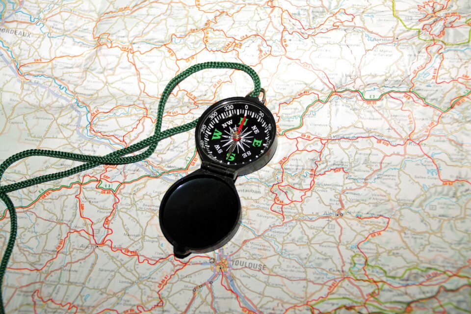
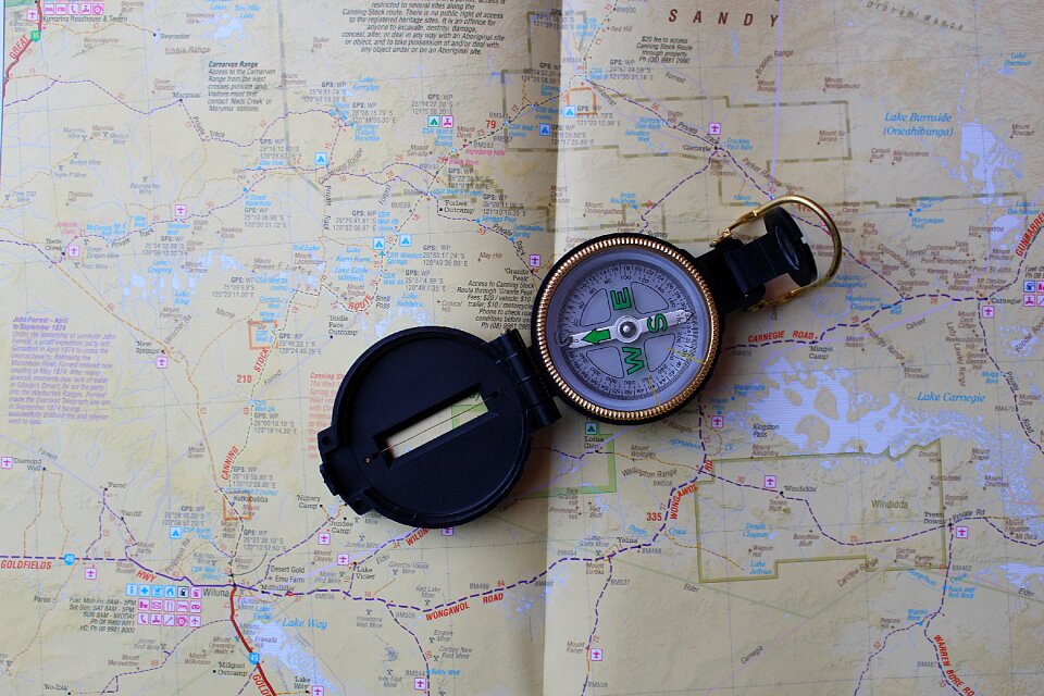
navigation
self-published work
weather map symbols
unit size indicators for tactical signs and map symbols of nato
self-published work
unit size indicators for tactical signs and map symbols of nato
self-published work
unit size indicators for tactical signs and map symbols of nato
self-published work
unit size indicators for tactical signs and map symbols of nato
self-published work
unit size indicators for tactical signs and map symbols of nato
self-published work
unit size indicators for tactical signs and map symbols of nato
self-published work
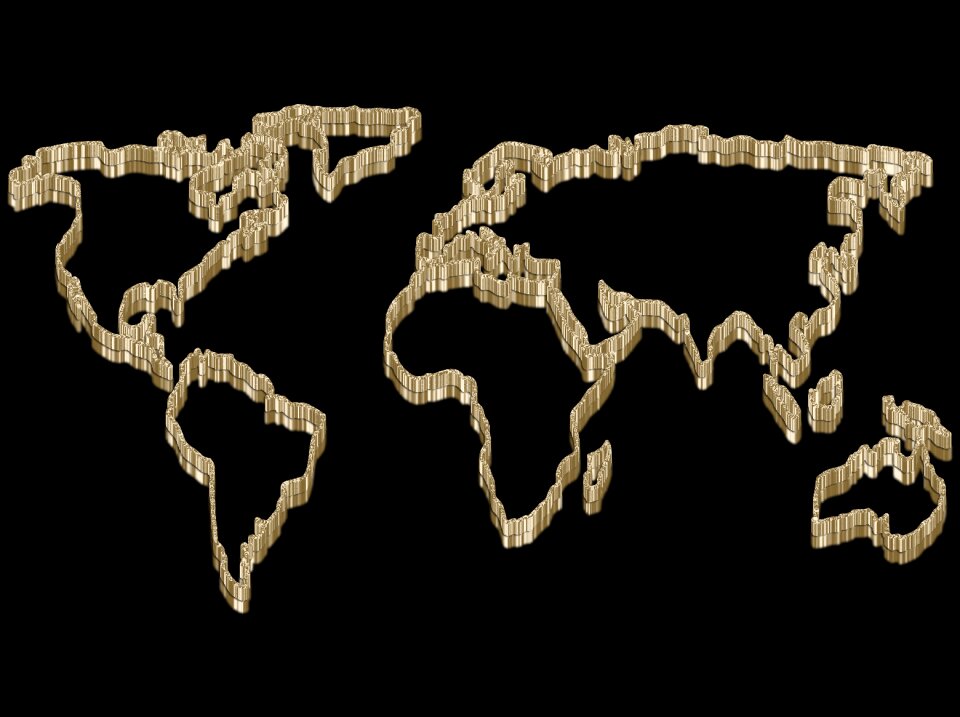
maps
flag
continent
planet
maps
flag
continent
earth
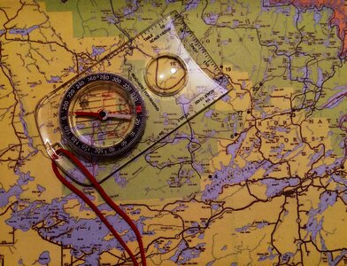
compass
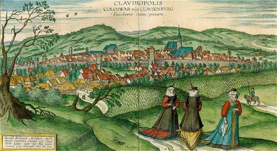
maps
maps in skokloster castle
maps by nicolas sanson
2nd edition
1687
maps in skokloster castle
visingsö
maps
book
balloon
maps
symbol
maps
maps
love
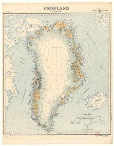
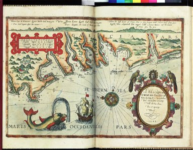
old maps of greenland
background
maps
background
symbol
background
maps
background
maps
charts and maps of the royal museums greenwich
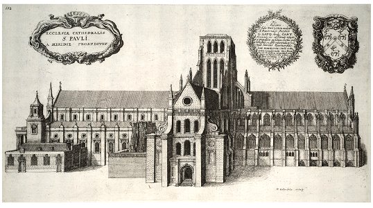
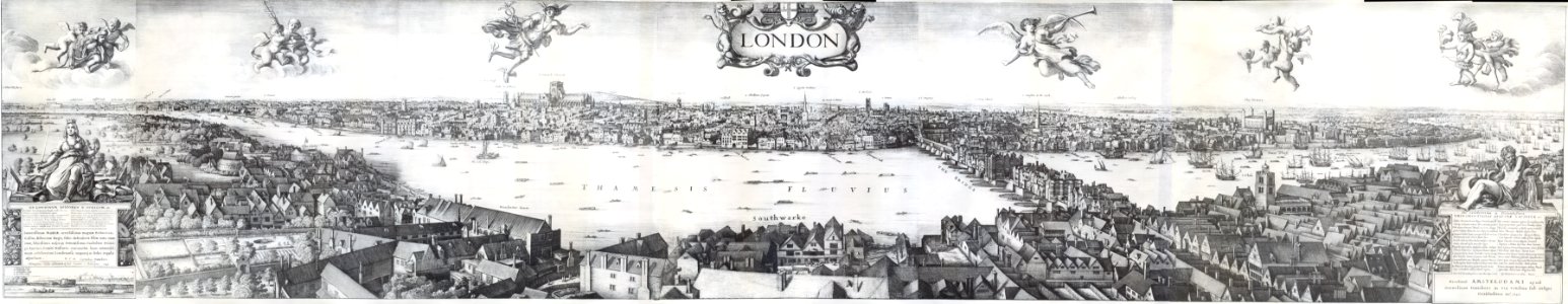
architectural prints by wenzel hollar
old st paul's cathedral
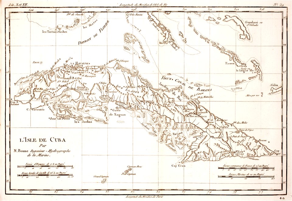
prints from bonne atlas de toutes les parties at the peace palace library
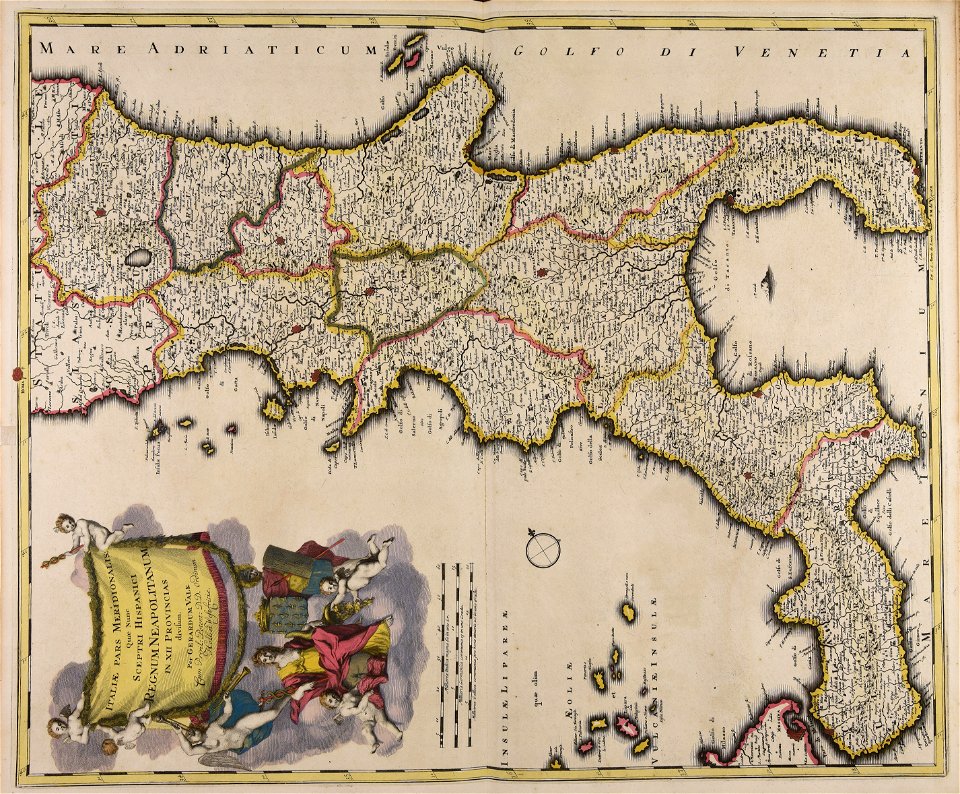
18th-century maps of africa
prints from bonne atlas de toutes les parties at the peace palace library
18th-century maps of cuba
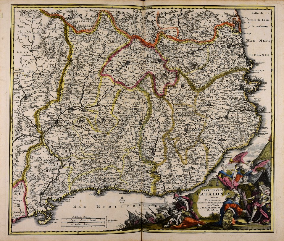
johann baptist homann
catalonia
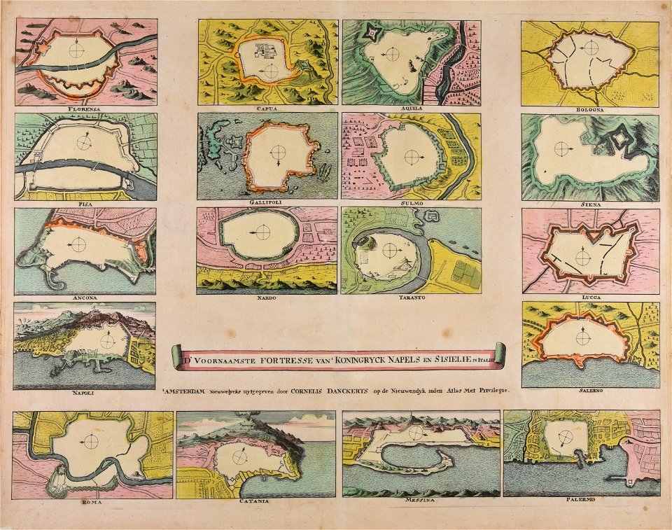
maps made in the 18th century
cornelis danckerts (i)
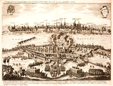
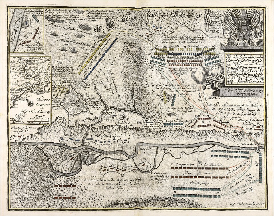
battles of the thirty years' war
cologne
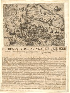
historical images of île de ré
siege of la rochelle
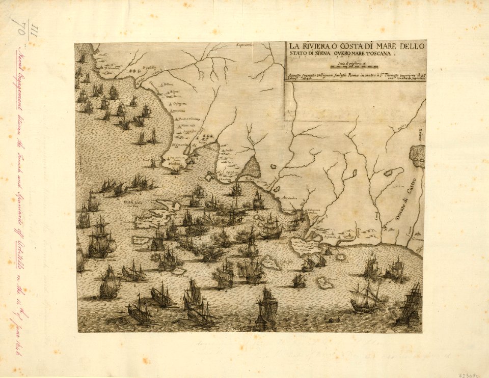
françois collignon
1646
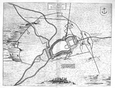
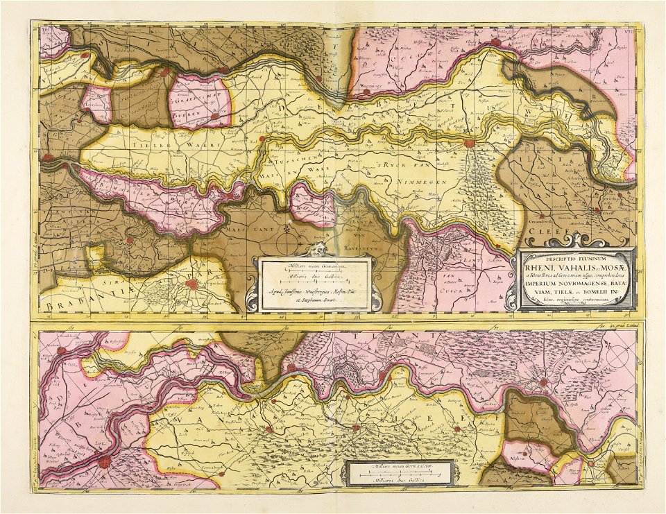
maps of lingen (ems)
atlas beudeker
historical images of lisbon
1696 in portugal
maps made in the 18th century
gerard valck
maps made in the 17th century
nicolaes visscher ii
atlantis magni tomus secundus (biblioteca comunale di trento)
maps made in the 17th century
dutch 17th-century prints in the rijksmuseum amsterdam
ijssel
historical images of palais des princes-evêques de liège
maps by willem and johannes blaeu
maps made in the 17th century
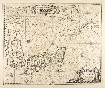
giappone
atlantis magni tomus secundus (biblioteca comunale di trento)
maps made in the 17th century
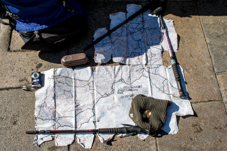
travel
maps
maps
meat
cartography
maps
australia
maps
boxing
maps
travel
maps
computer
maps
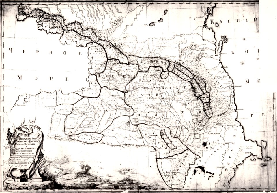
18th-century maps of the caucasus
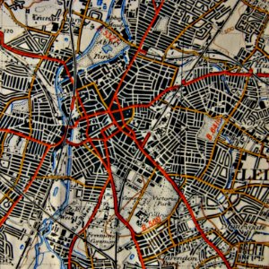
old maps of leicester
old maps of tbilisi
geography
maps
computer
maps
clock
maps
japan
maps
brown
maps
origami
maps
woman
eyes
maps
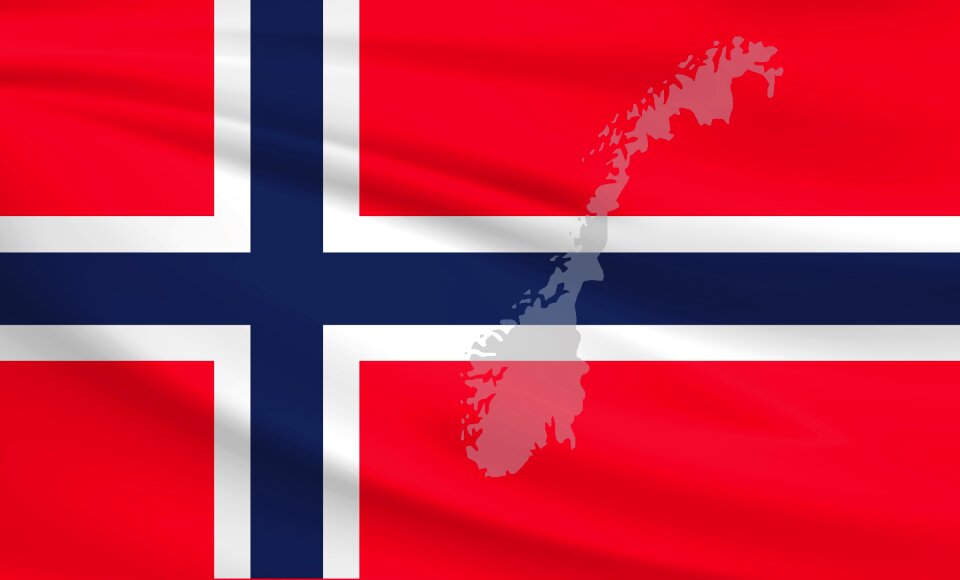
flag
background
maps
background
maps
background
maps
background
maps
ornament
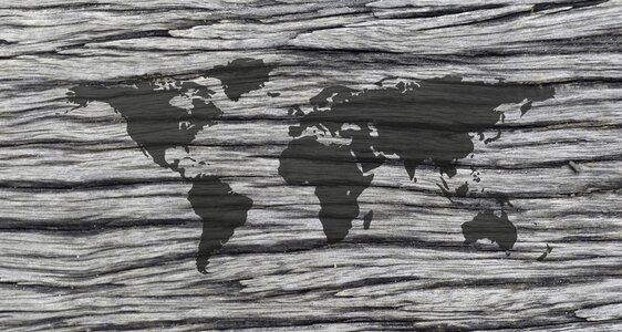
world
travel
maps
maps
gift
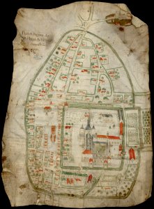
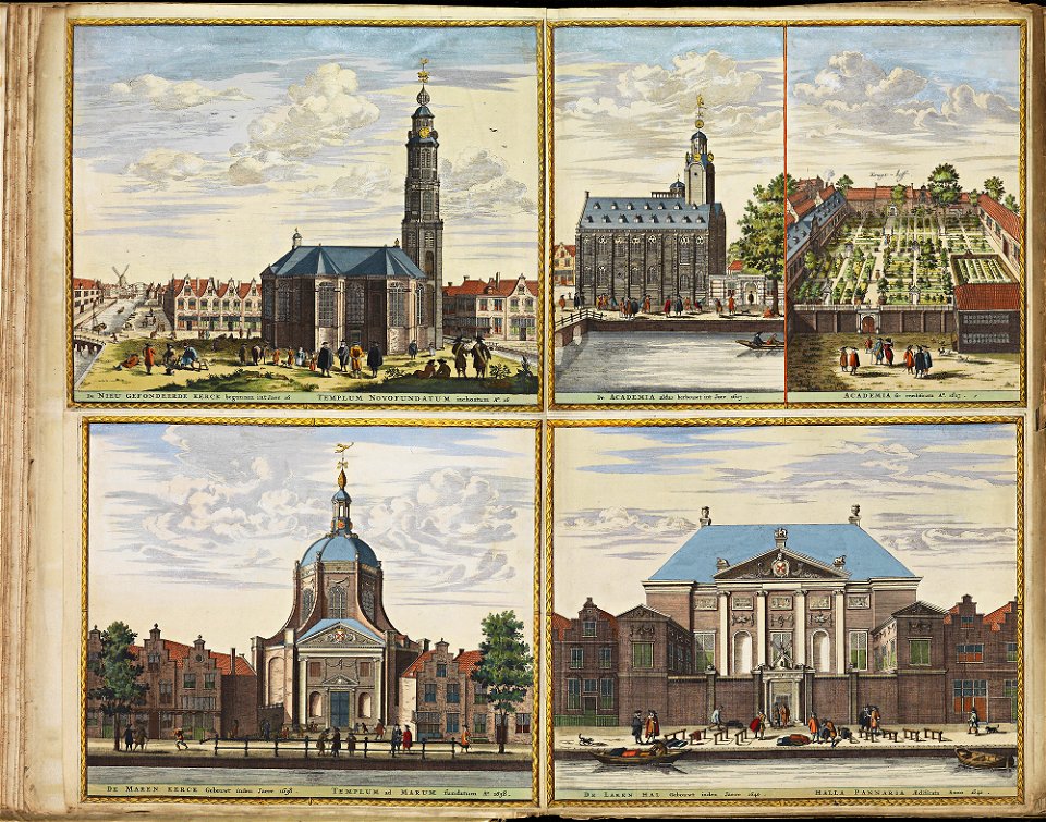
maps and topographical views by joris hoefnagel
17th-century engravings of towns
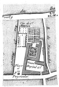
bibliothèque municipale de reims
maps of reims
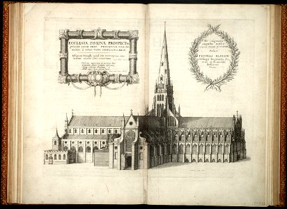
architectural prints by wenzel hollar
old st paul's cathedral
university of toronto wenceslas hollar digital collection
prints by wenzel hollar
atlantis magni tomus quintus (biblioteca comunale di trento)
topographic maps made in 18th century
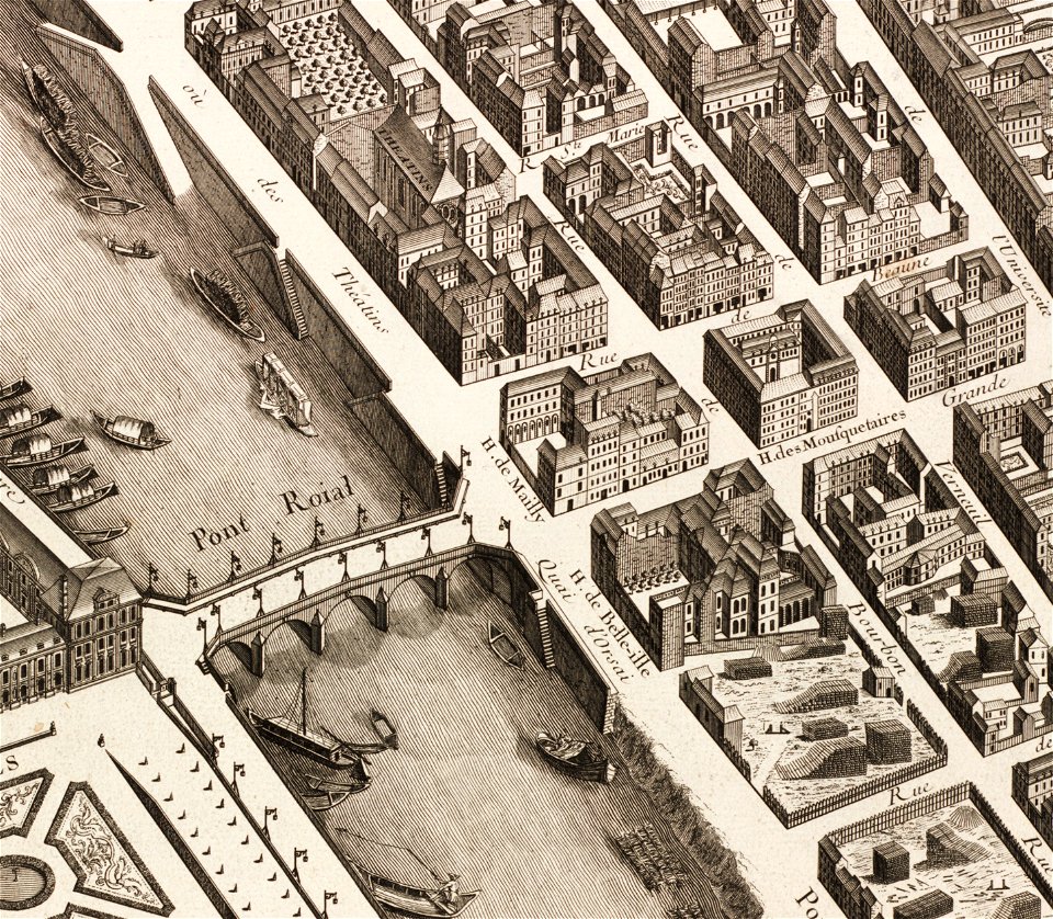
historical images of pont royal
musketeers of the guard
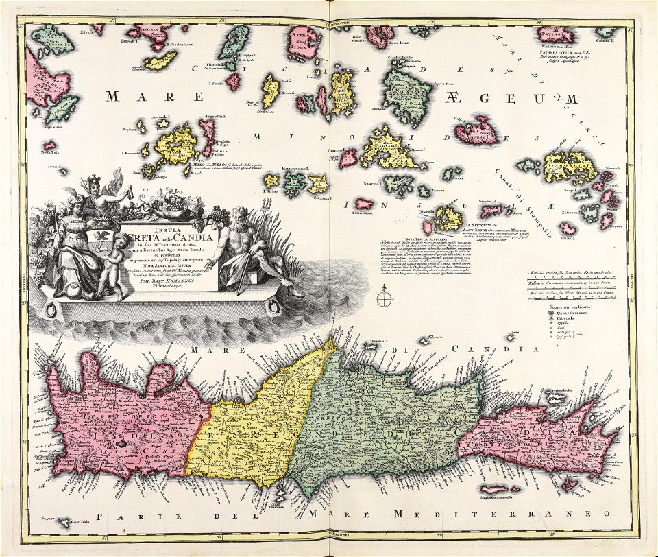
johann baptist homann
creta
maps made in the 17th century
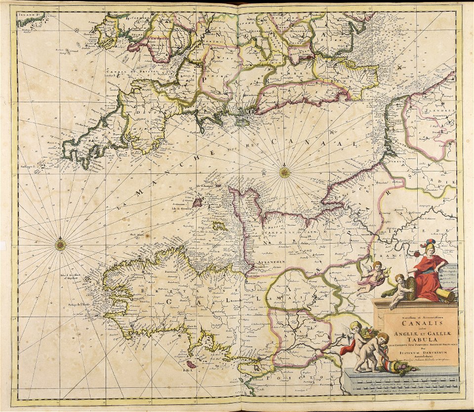
belgio
'wenceslaus hollar'
landscape art
charts and maps of the royal museums greenwich
lucas janszoon waghenaer
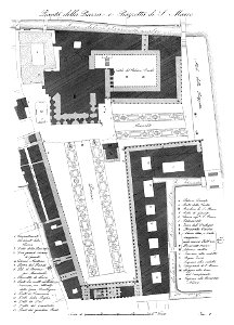
piazza san marco
1831
background
maps
background
maps
background
maps
background
maps
background
maps
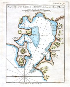
maps by jacques-nicolas bellin
old maps of saint lucia
business
maps
background
maps
illustration
maps
ornament
world
maps
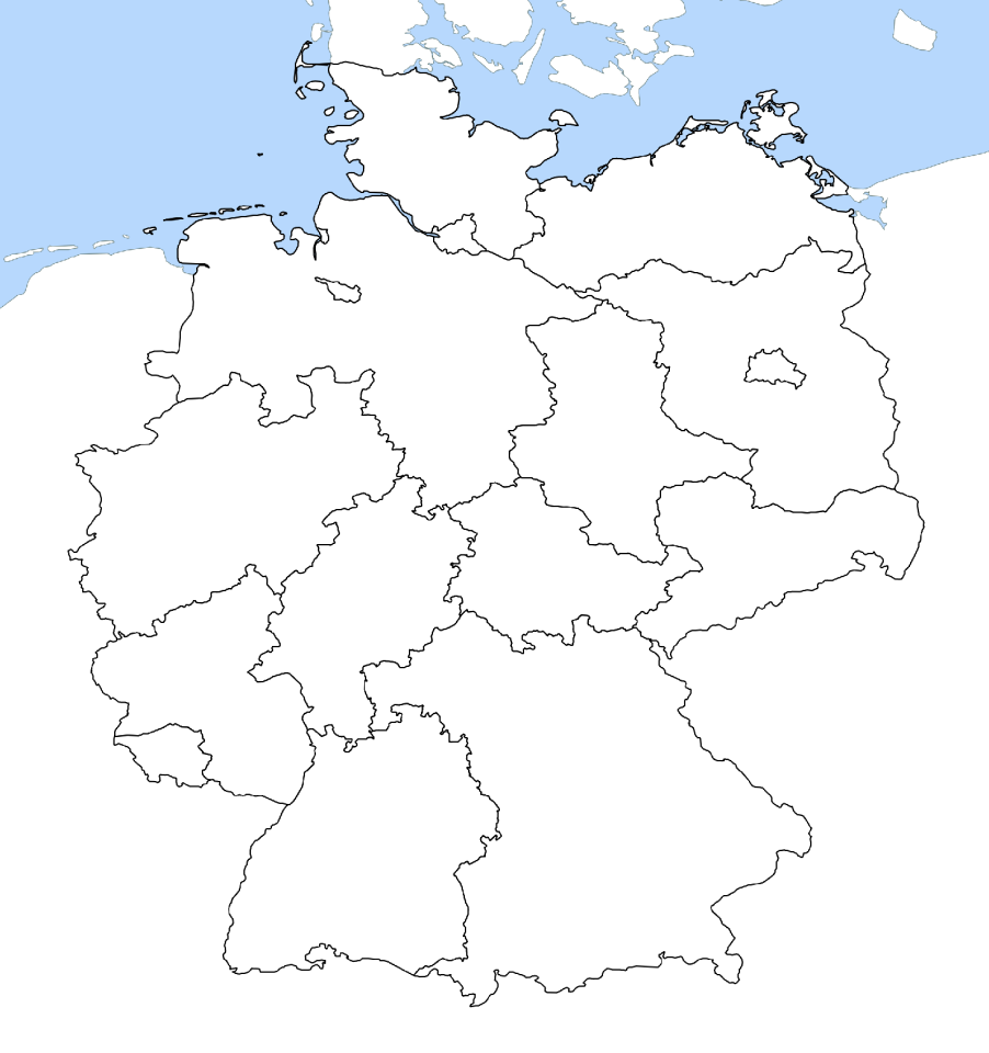
flag
germany
white
background
maps
old maps of saint-benoît-sur-loire
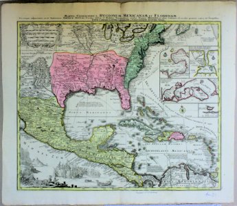
1645 maps
old maps of central america
old maps of florida
maps made in the 17th century
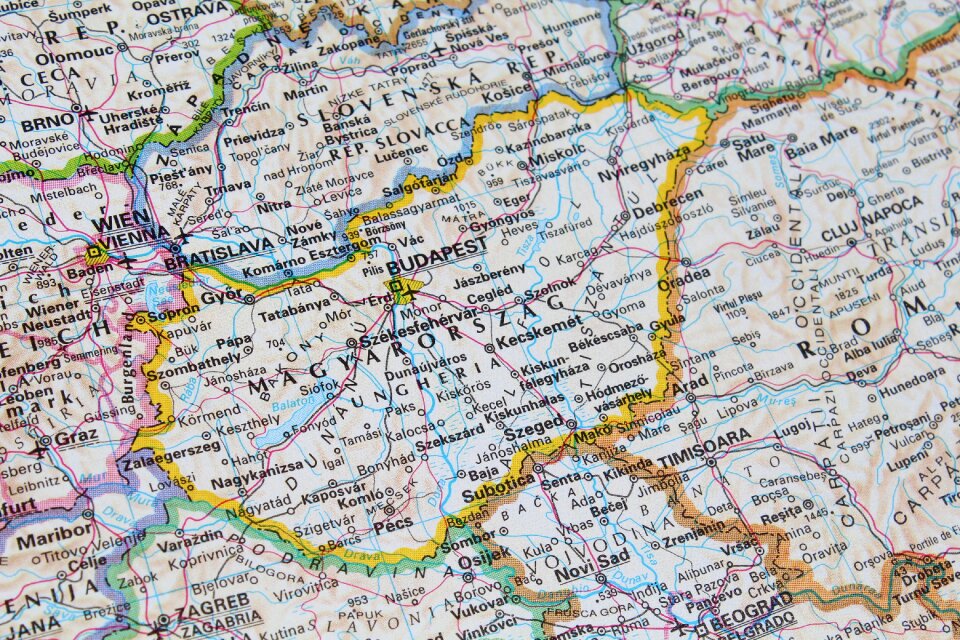
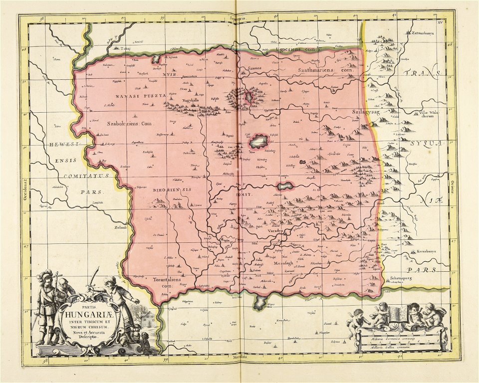
ungheria
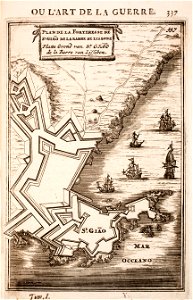
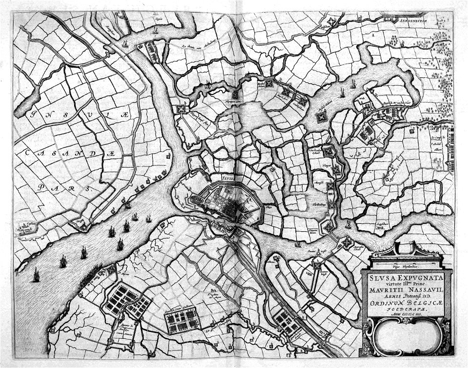
siege of sluis 1604
atlas beudeker
atlas de wit 1698
frederick de wit
artworks with known accession number
artworks without wikidata item
itinerario (jan huygen van linschoten)
old maps of goa
14901 - 15000 of 357,549
Next page
/ 3576