Log in
All resources
Create a design
Tools
357,549 Free Images of Map
pages with maps
cc-zero
quality images
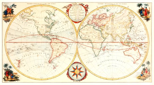
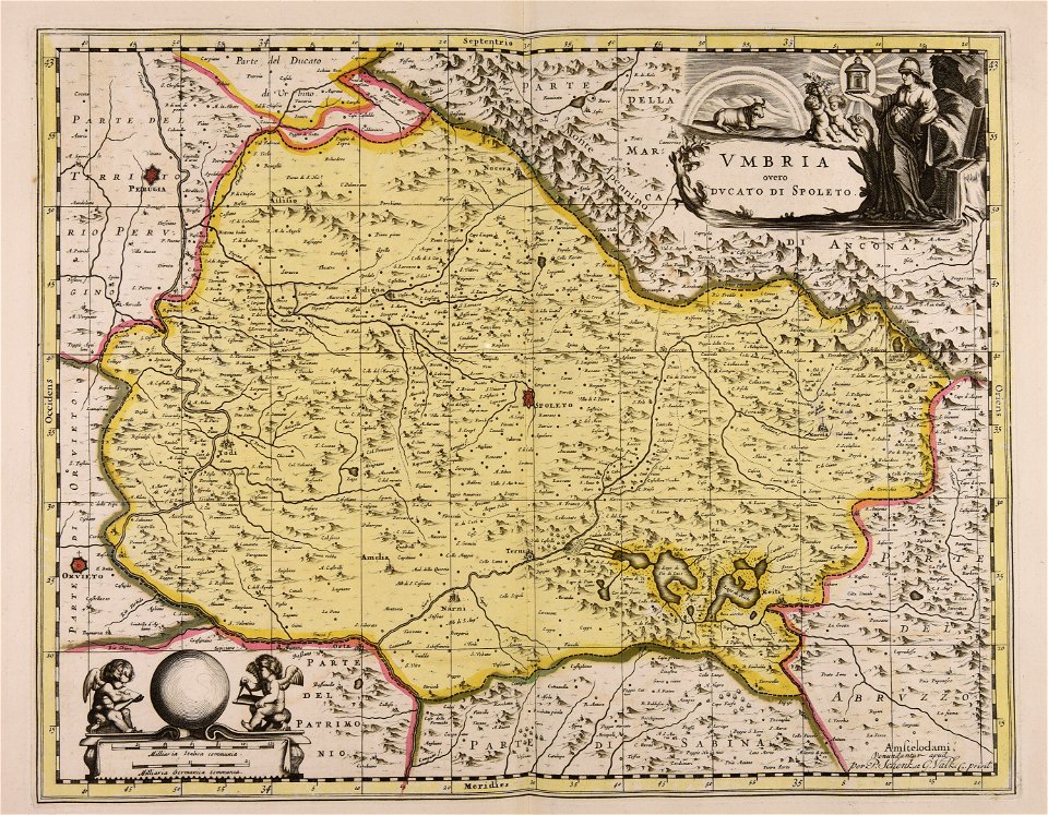
maps made in the 17th century
quality images by jebulon
quality images missing sdc depicts
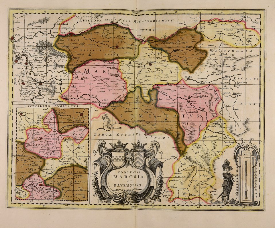
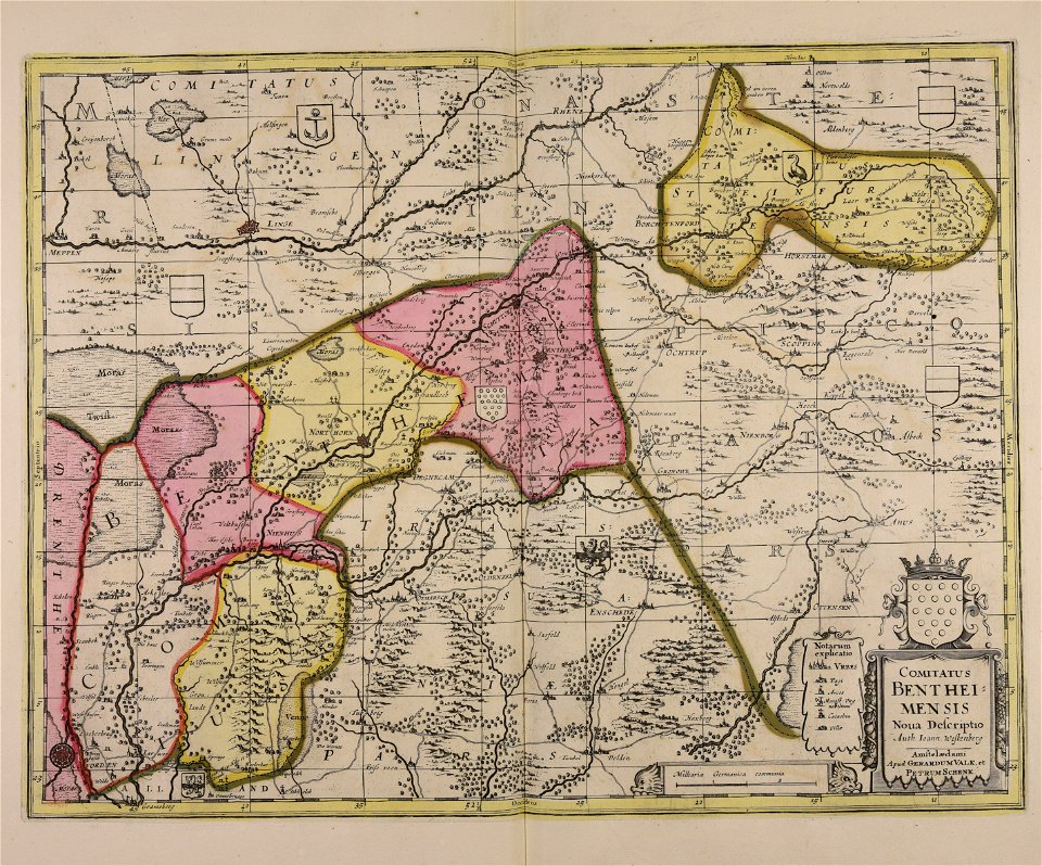
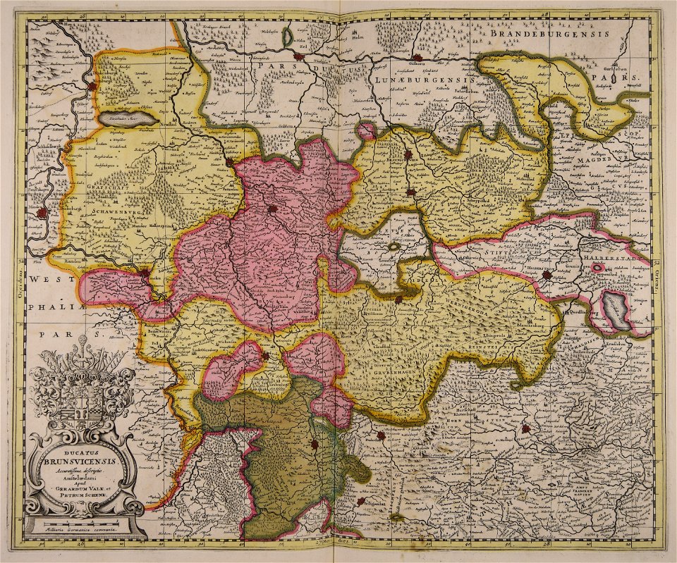
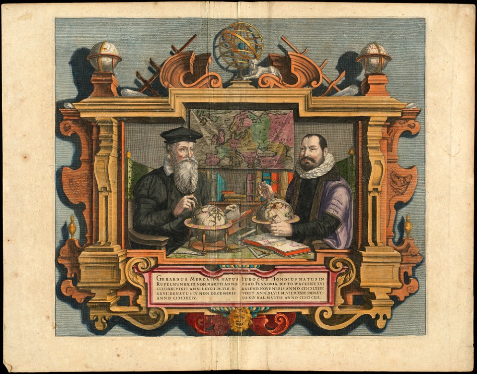
gerard valck
maps by pieter schenk (i)
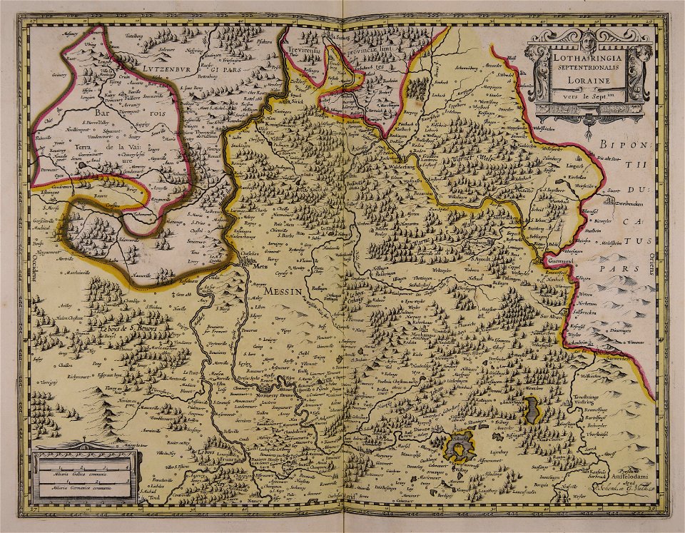
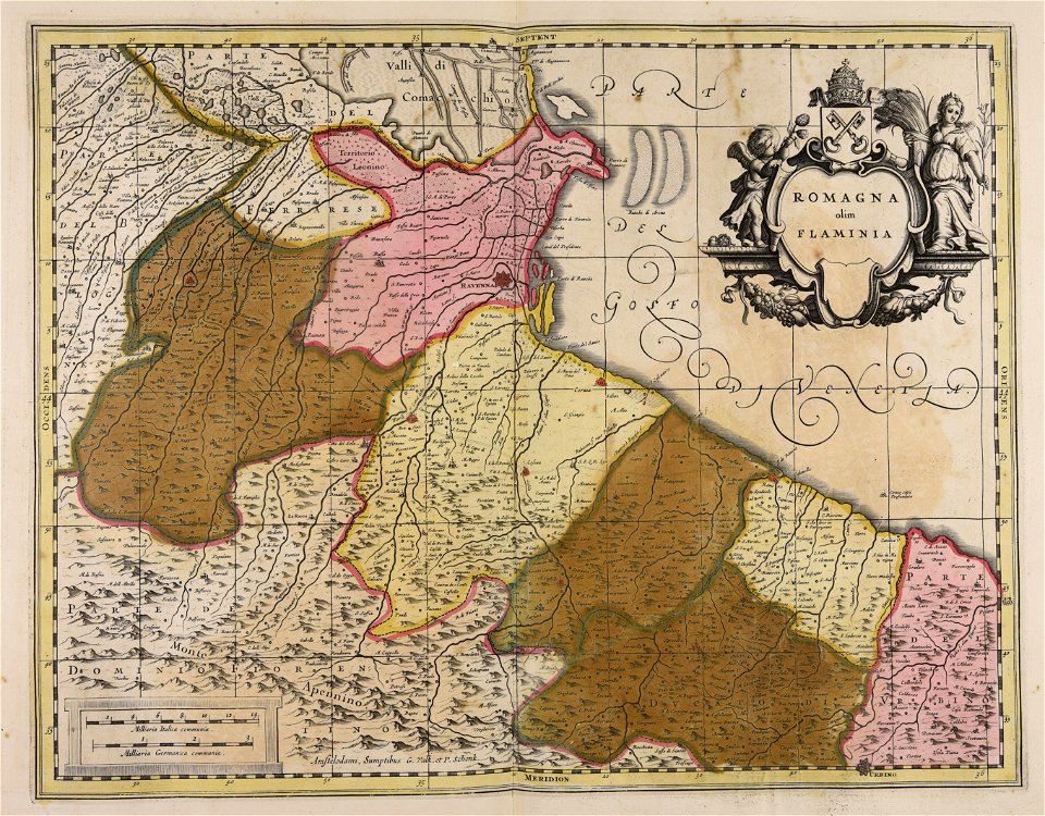
maps
atlantis magni tomus tertius (biblioteca comunale di trento)
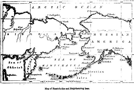
maps of kamchatka
1856 maps
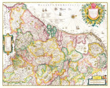
prestedelijke bijlmermeer
old maps of amsterdam
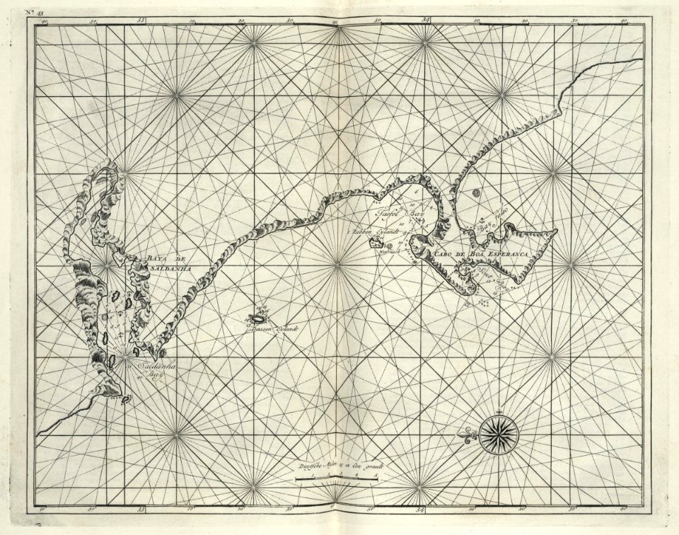
maps of the dutch east india company - south africa
1726 maps
maps made in the 17th century
gerard valck
maps made in the 17th century
gerard valck
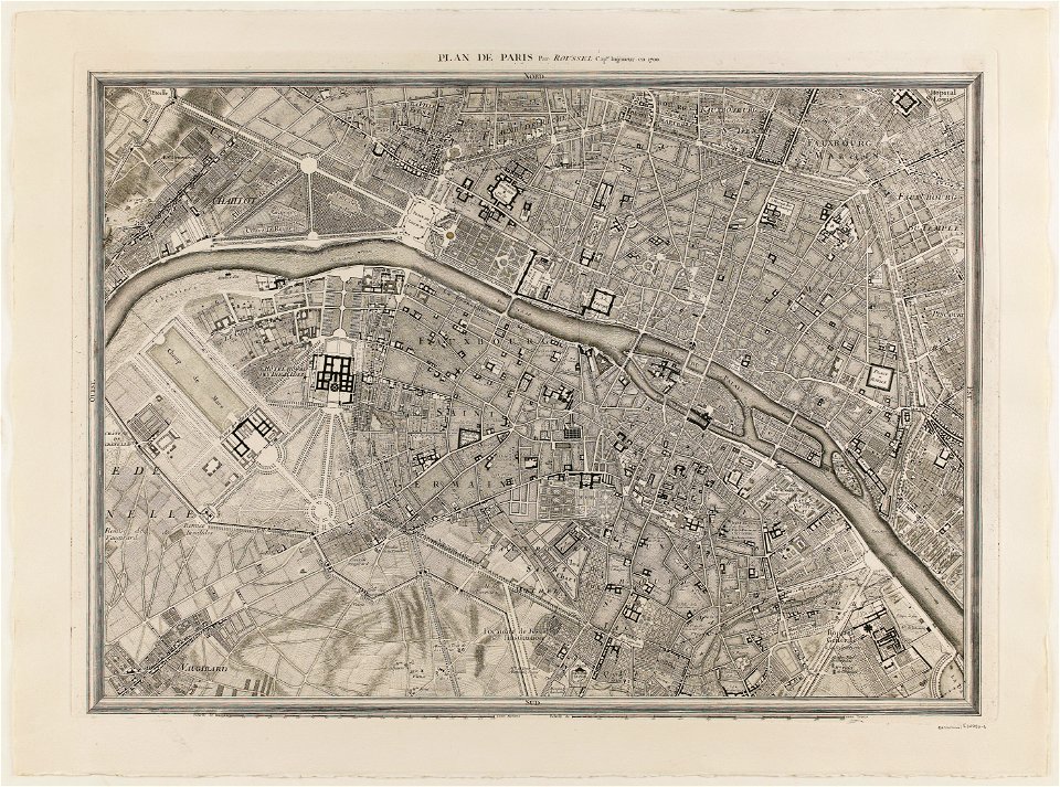
maps of paris from paris musées
plan de roussel
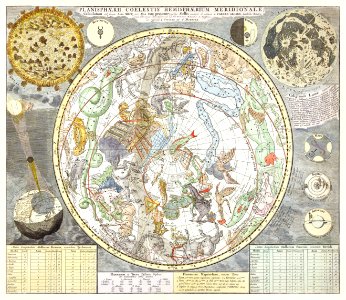
astronomy
maps
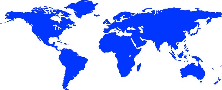
globe
blue
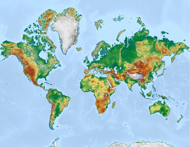
earth
maps
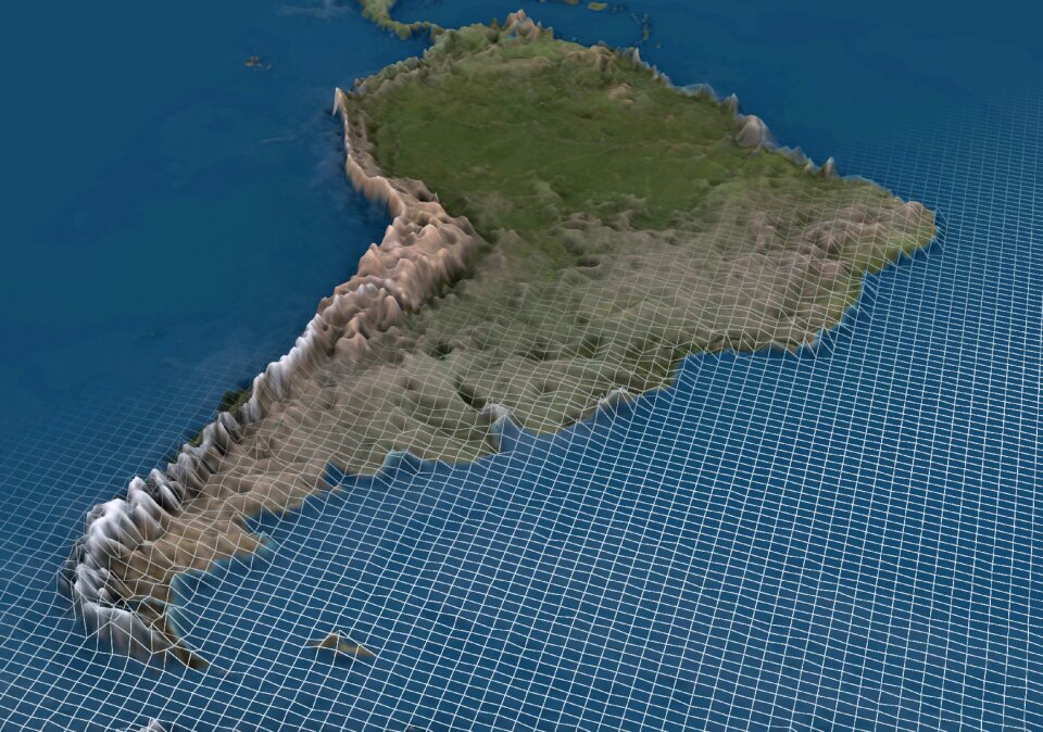
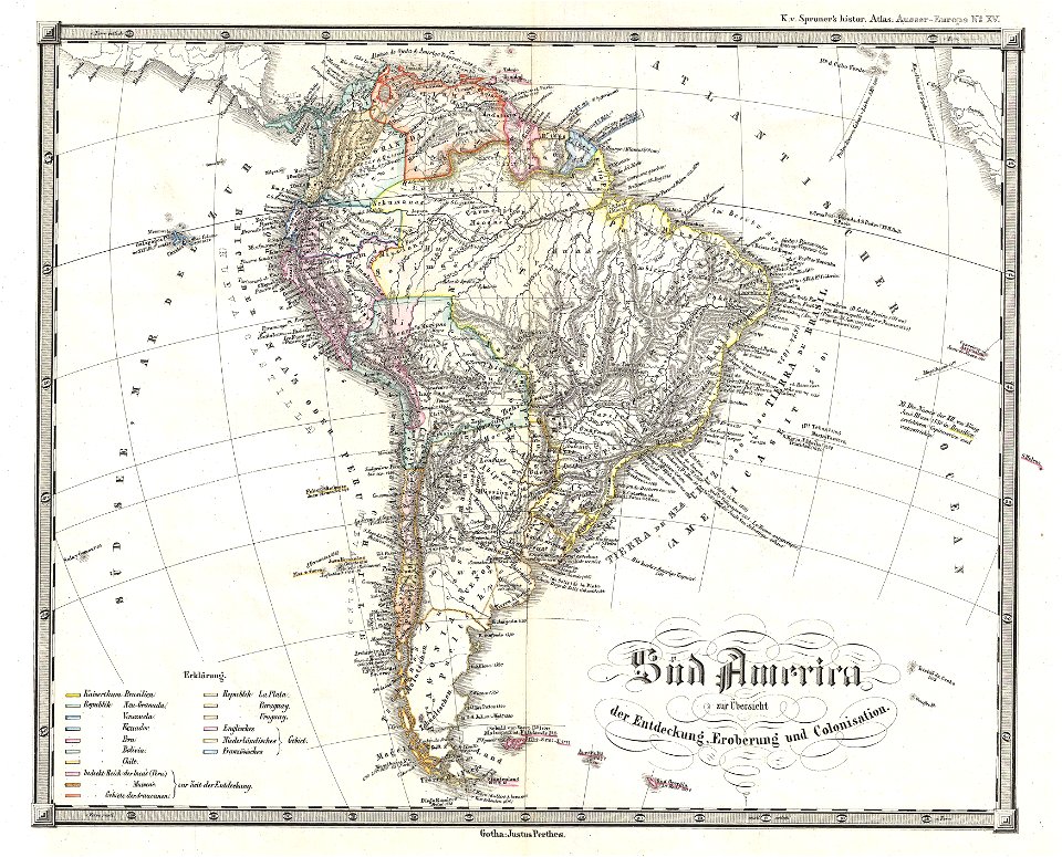
south america
blue
earth
maps
popular science monthly illustrations/volume 13
drainage basin maps of north america
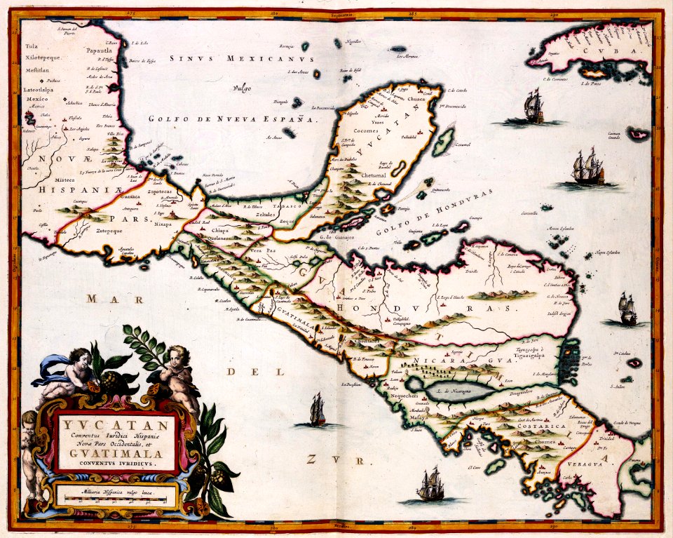
maps of the yucatan peninsula
maps with cartouches
cornell university library
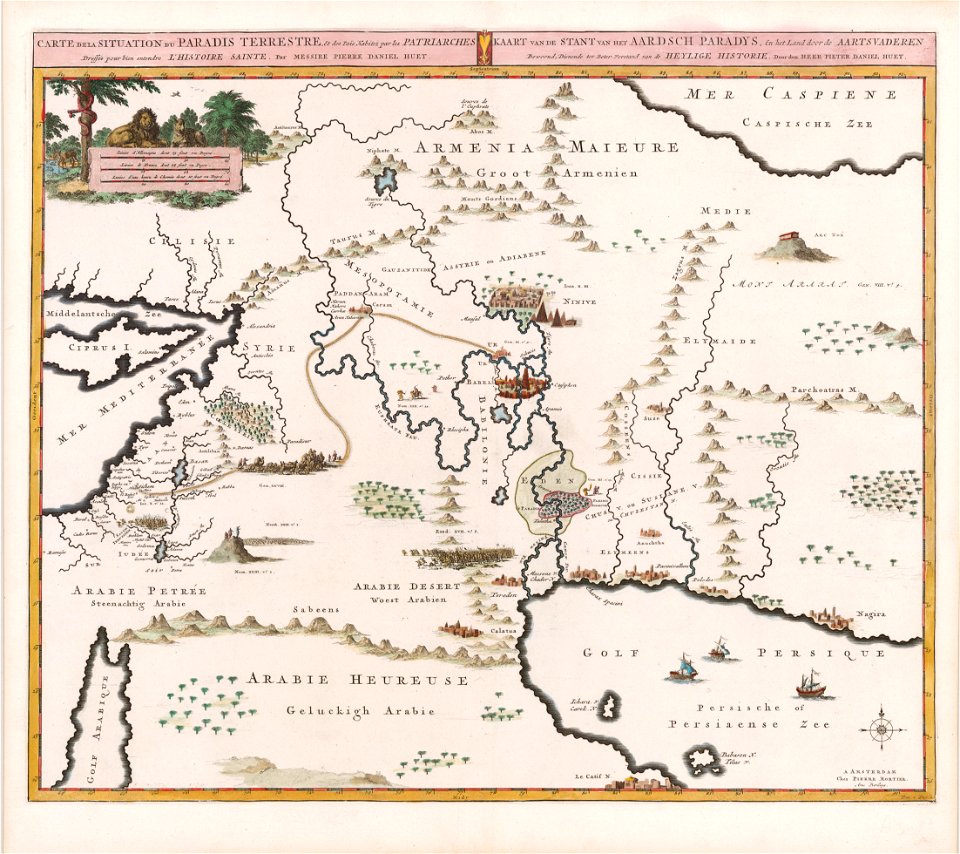
garden of eden
arizona
phoenix
illustration
maps
maps
usa
self-published work
communism
earth
maps
illustration
maps
old maps of the canton of zürich
old maps of switzerland
maps by nicolaes visscher i
old maps of upper austria
1850s maps of south america
karl spruner von merz
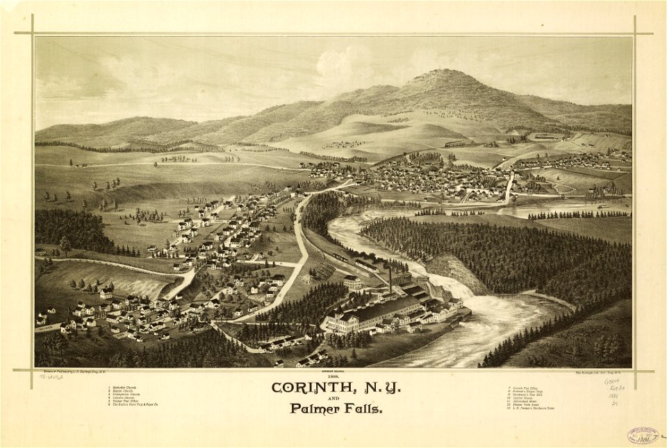
new york
corinth
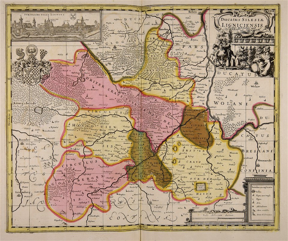
old maps of silesia
gerard valck
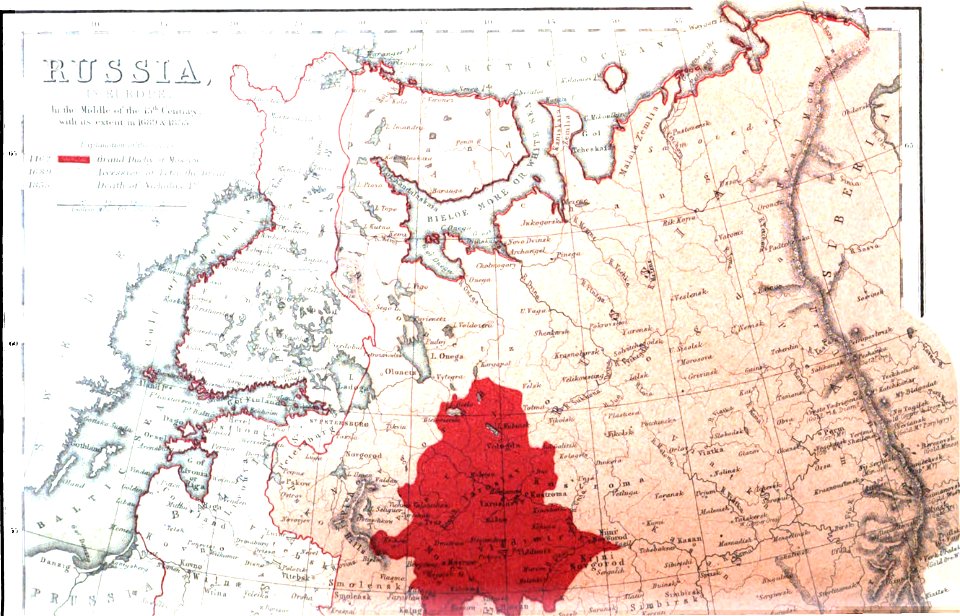
old maps of the russian empire
1856 maps
maps made in the 17th century
gerard valck
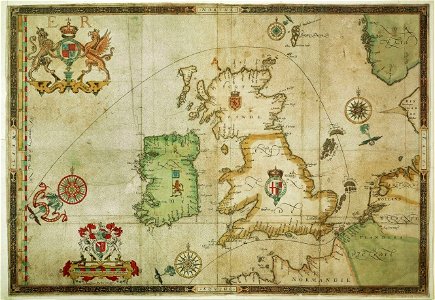
the track of the armada around britain and ireland
london
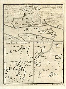
old maps of guangzhou
1745
new york
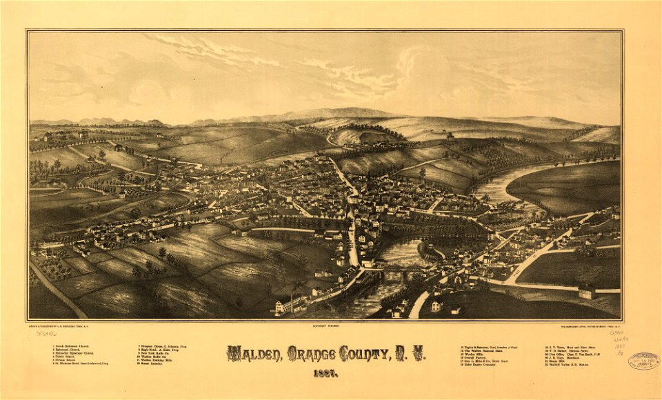
walden
maps in the library of congress
new york
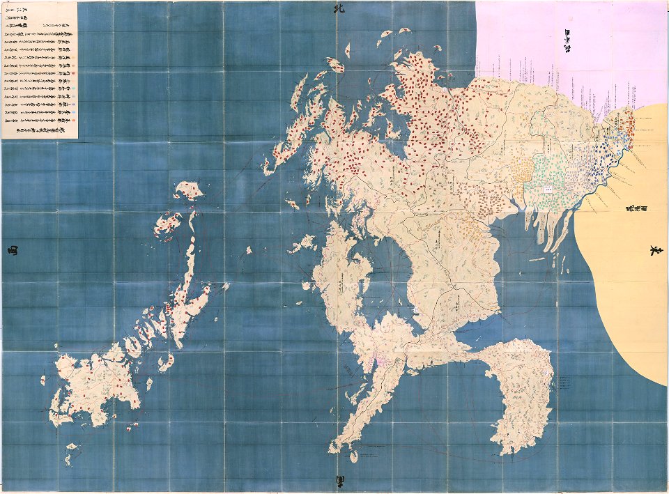
maps in the national archives of japan
hizen province
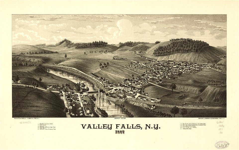
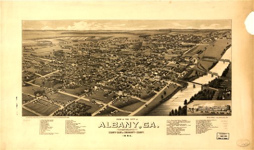
georgia
albany
maps made in the 17th century
gerard valck
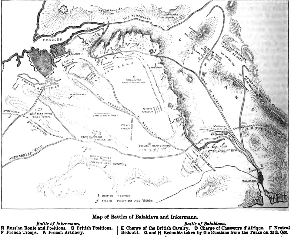
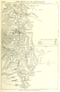
maps of battles
1856 maps
earth
maps
earth
maps
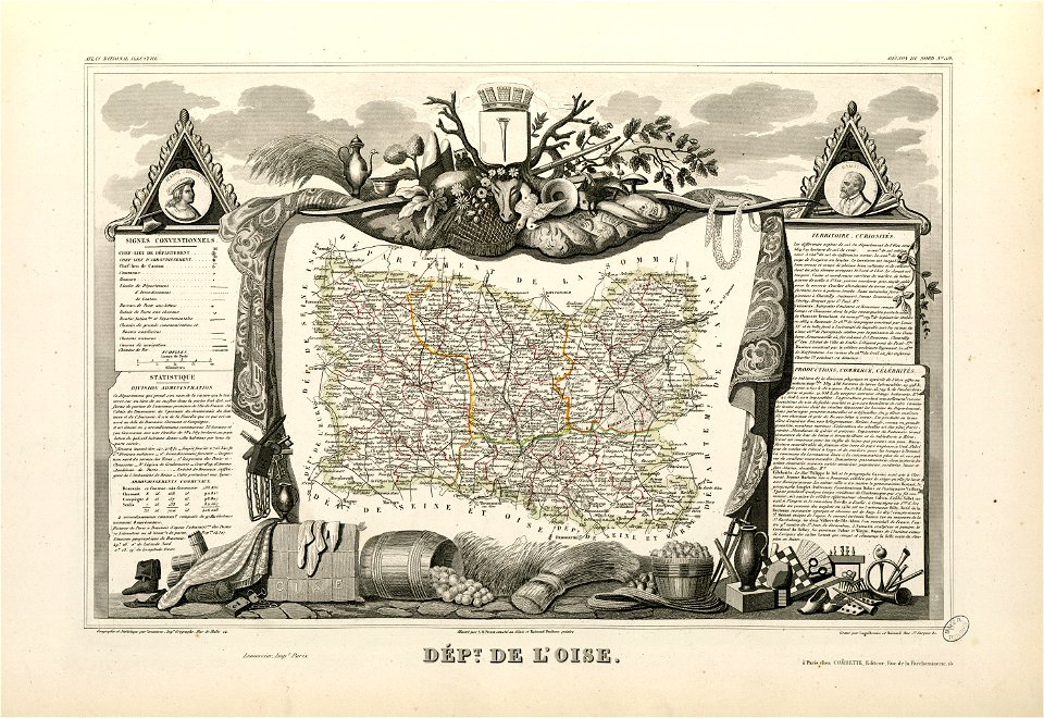
coats of arms of cities in oise
old maps of oise
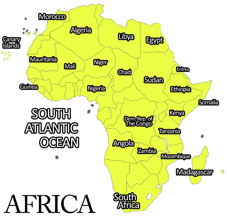
africa
maps
vehicle
snow
water
boat
self-published work
architecture
self-published work
pages with maps
stone railing
architecture
vehicle
car
objects with black background
flower
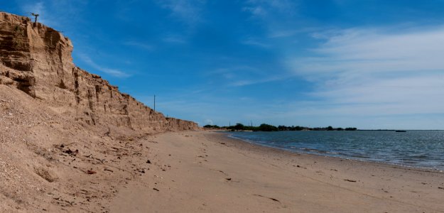
landscape
travel
landscape
rock
architecture
city
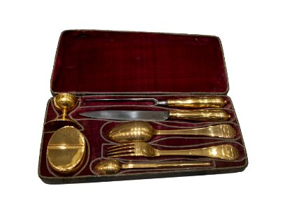
cutlery
gold
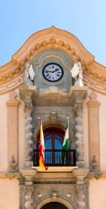
photographs of the national flag of spain in andalusia
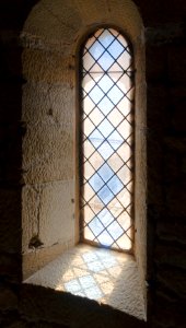
architecture
self-published work
architecture
2011 in rhodes
architecture
vehicle
water
self-published work
pages with maps
people of maracaibo
young
spring
grass
valued images of athens
architecture
self-published work
pages with maps
romanesque capitals in charente-maritime
self-published work
architecture
roof
vehicle
water
self-published work
cc-pd-mark
cityscape
city
stone roofs in dordogne
architecture
self-published work
architecture
self-published work
pages with maps
illustration
maps
lizard
maps
maps made in the 17th century
gerard valck
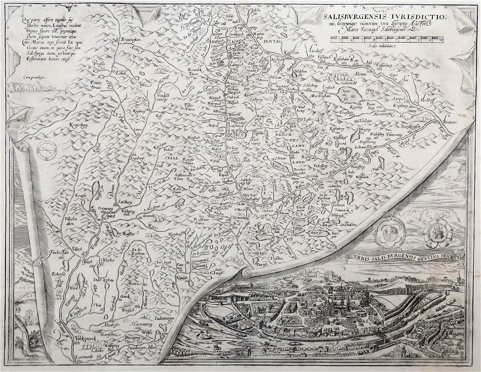
maps made in the 16th century
old maps of salzburg (state)
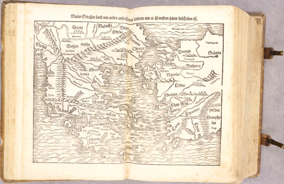
old maps of greece
old maps of turkey
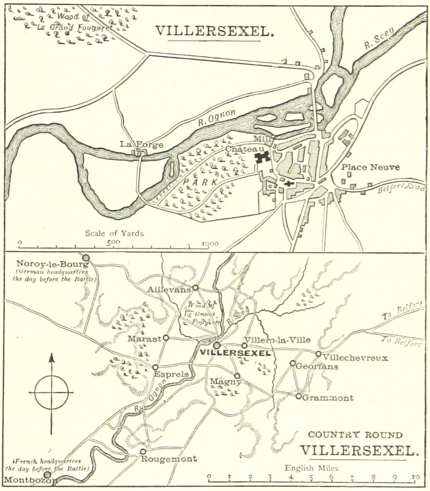
historical images of villersexel
1895 drawings
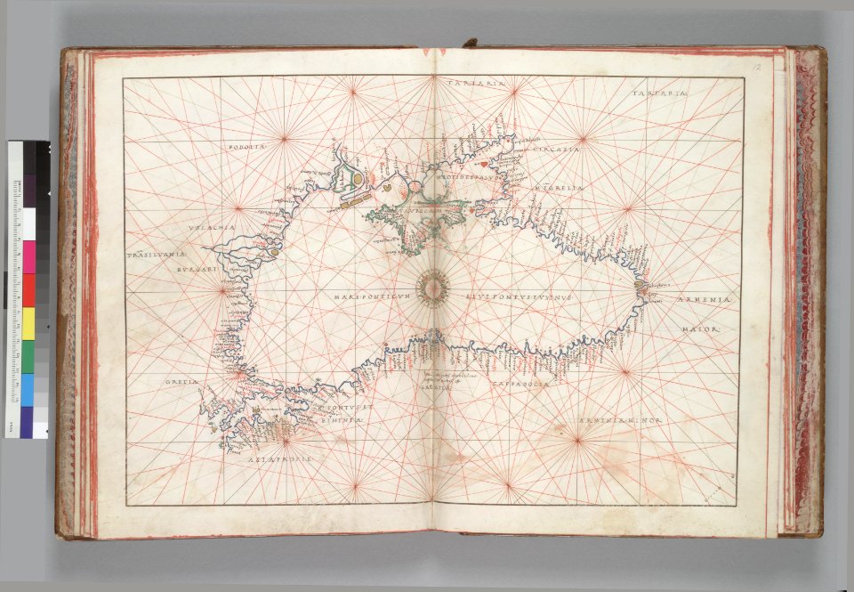
16th-century maps of the black sea
battista agnese
maps made in the 17th century
gerard valck
maps made in the 17th century
gerard valck
maps made in the 17th century
gerard valck
pictorial history of the russian war 1854-5-6 by george dodd
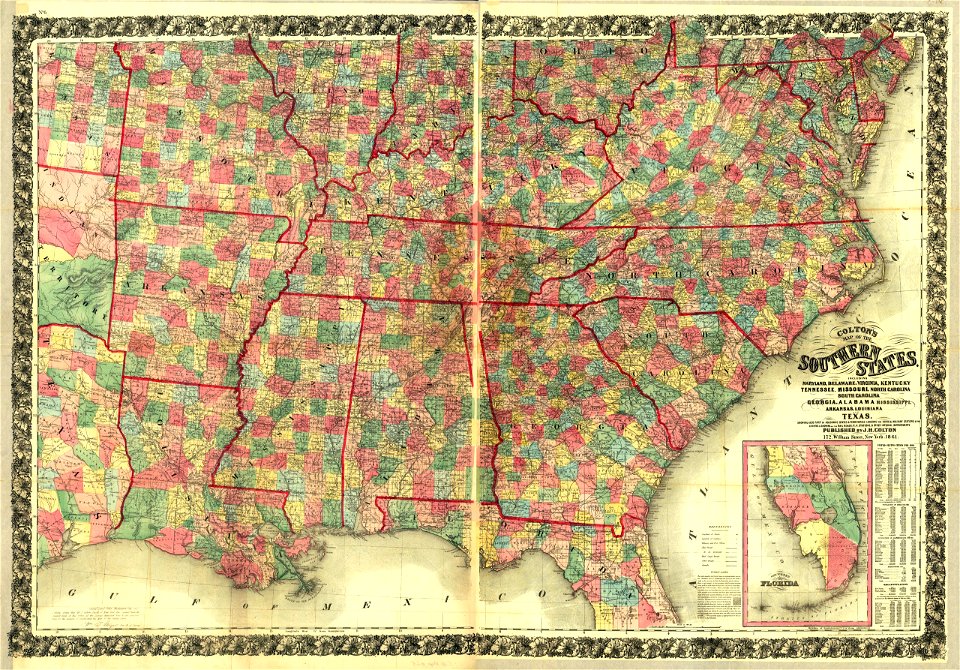
1856 maps of georgia
fonds ancely - bibliothèque municipale de toulouse - maps
victor levasseur - maps of france
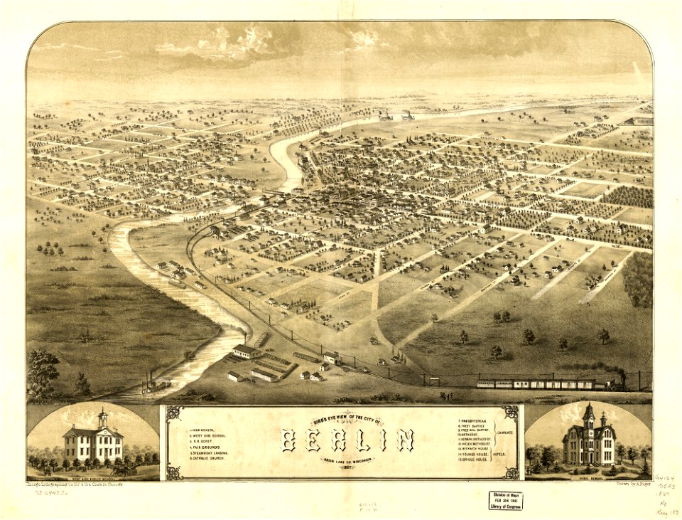
wisconsin
berlin
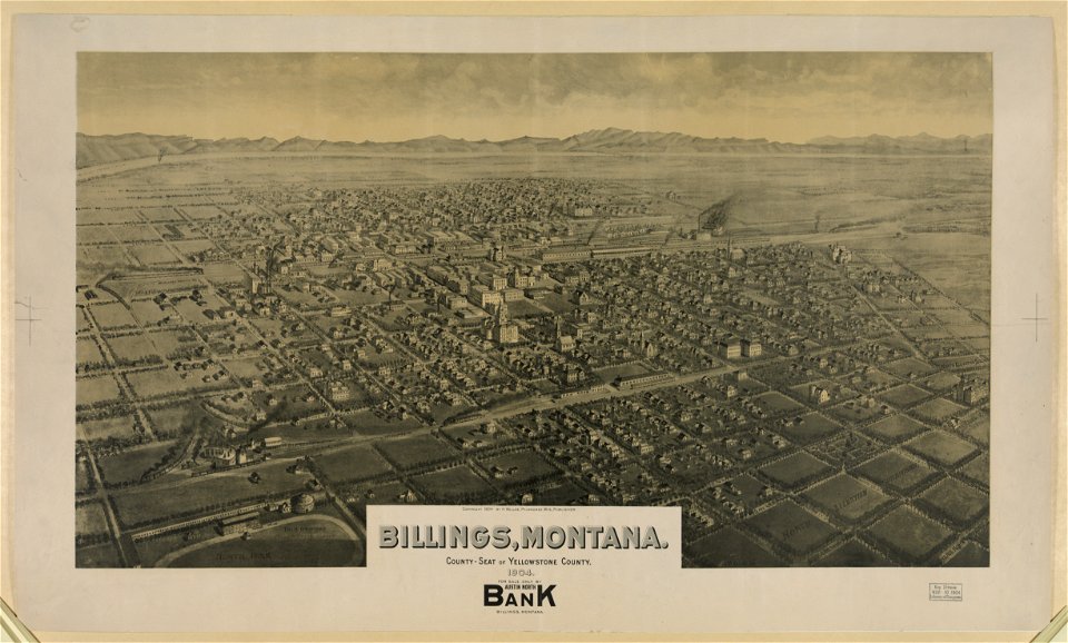
lithographs of montana
montana
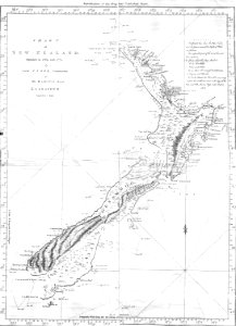
new zealand
geography
engravings of palaio frourio (corfu)
1720 maps
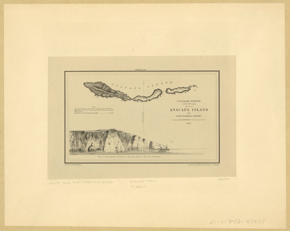
anacapa island
california
maps made in the 17th century
gerard valck
maps in the library of congress
1861 maps
maps made in the 17th century
gerard valck
maps made in the 17th century
gerard valck
maps made in the 17th century
gerard valck
maps made in the 17th century
gerard valck
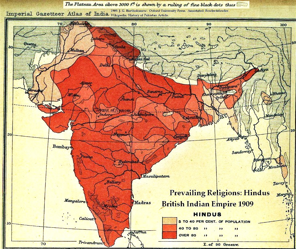
old maps of the indian subcontinent
hindus
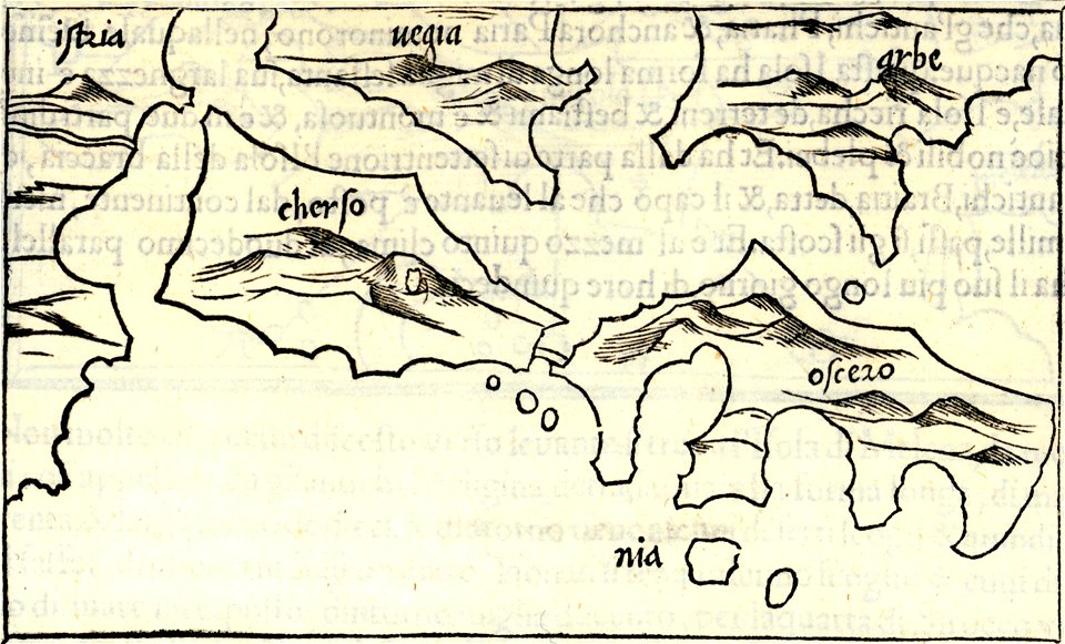
isolario di benedetto bordone (1547)
maps by benedetto bordon
maps made in the 17th century
old maps of scandinavia
maps by nicolas sanson
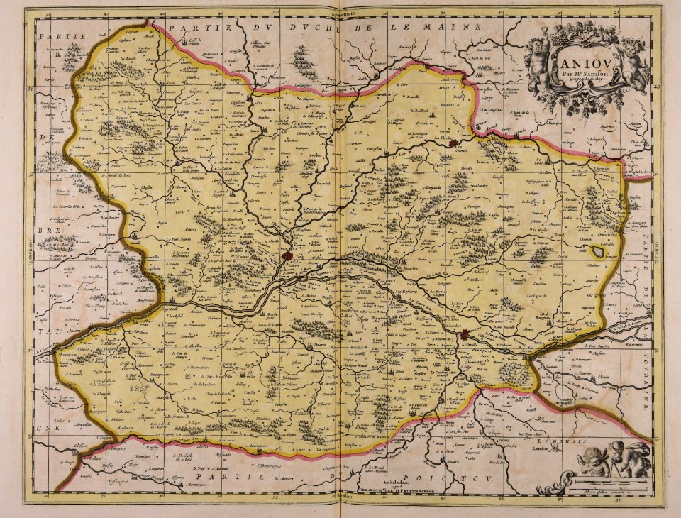
maine-et-loire
maps made in the 17th century
gerard valck
maps from the mechanical curator collection
british battles on land and sea
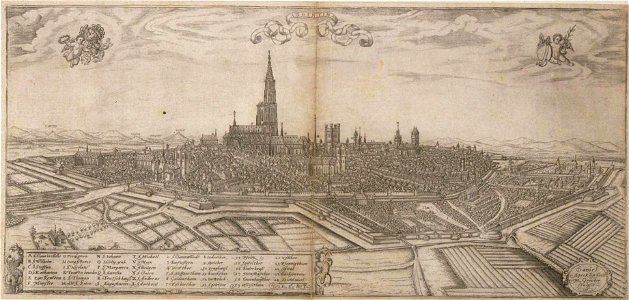
historical remote views of strasbourg
16th-century maps of strasbourg
maps in musée de la compagnie des indes
17th-century engravings
maps made in the 17th century
maps by nicolaes visscher i
people with globes in art
1628 maps
7201 - 7300 of 357,549
Next page
/ 3576