Log in
All resources
Create a design
Tools
357,549 Free Images of Map
maps in the library of congress
maps
cartography
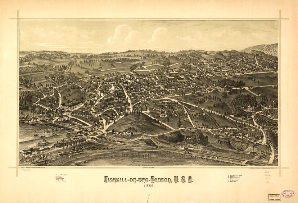
l. r. burleigh
geography
maps made in the 17th century
charts and maps of the royal museums greenwich
1672
johannes janssonius waasbergen
maps of the west-indische compagnie
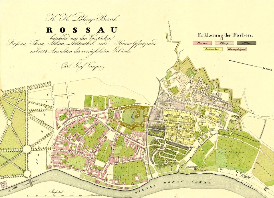
1830 vienna map series by carl graf vasquez
roßau (vienna)
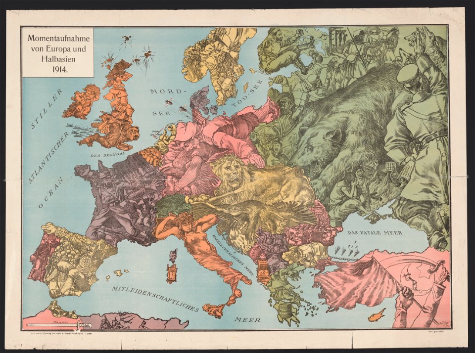
20th-century satirical maps
1914 maps of europe
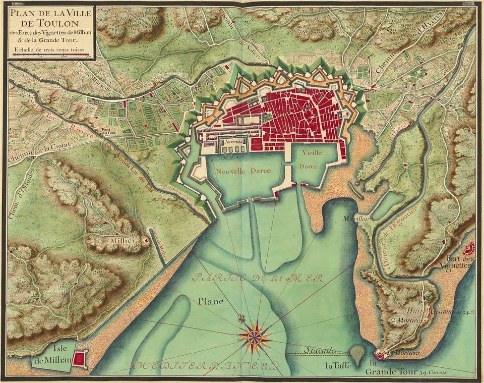
old maps of toulon
toulon naval base
sjallemaheerd (opende)
maps of marum
popular science monthly illustrations/volume 16
10th-century maps of the world
charts and maps of the royal museums greenwich
1682 maps
maps of the dutch east india company - south africa
1682)
maps of the dutch east india company - india
1672
maps of the west-indische compagnie
cornelis goliath
maps of the west-indische compagnie
1716
batavia castle
1753
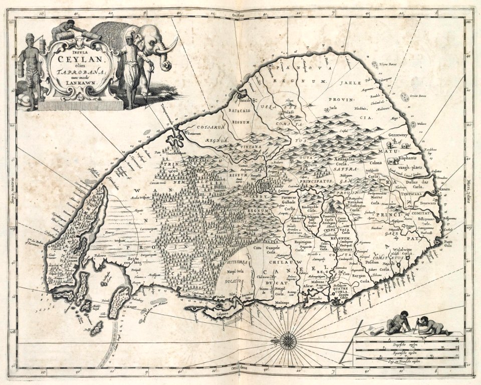
maps of the dutch east india company - sri lanka
maps of fort fredrick
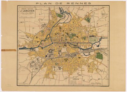
world war ii in rennes
old maps of rennes
maps of the french and indian war
1768 maps
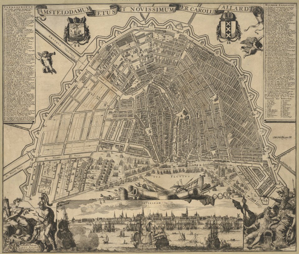
maps in the stadsarchief amsterdam
carolus allard
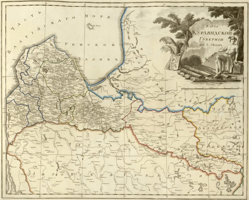
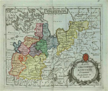
atlas of the russian empire (1800)
old maps of courland governorate
maps in the library of congress
new york
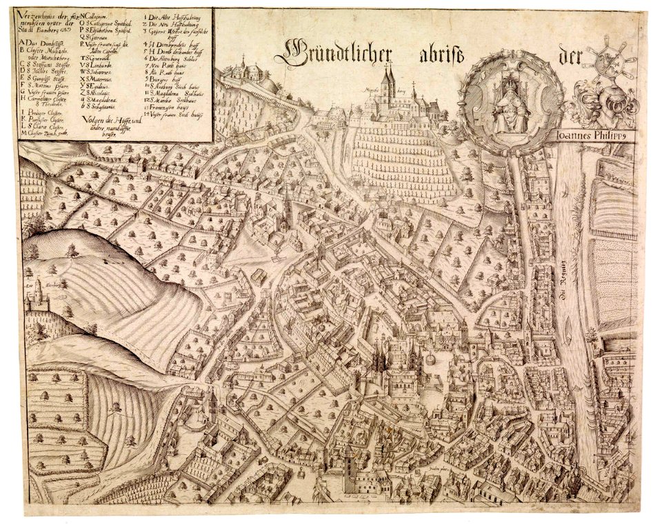
collections of staatsbibliothek bamberg
history of bamberg
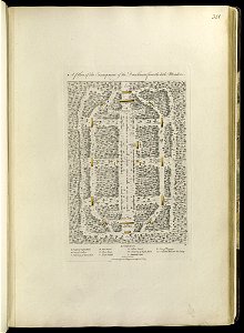
a map of the pontine marshes (rcin 912684)
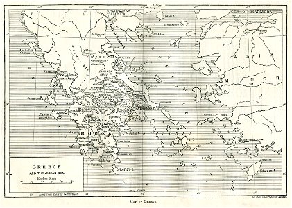
old maps of greece
greek pictures
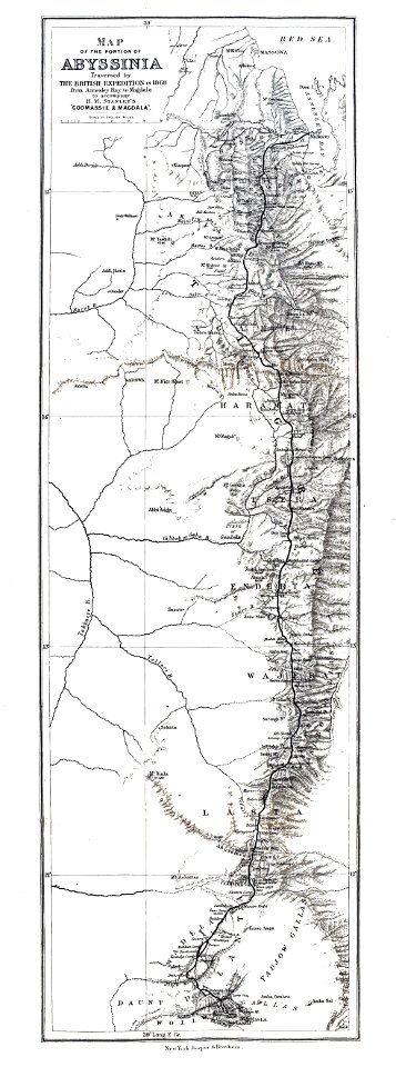
british expedition to abyssinia
henry morton stanley
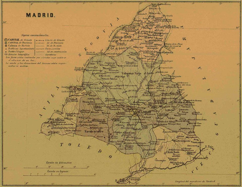
old maps of the community of madrid
1868 maps
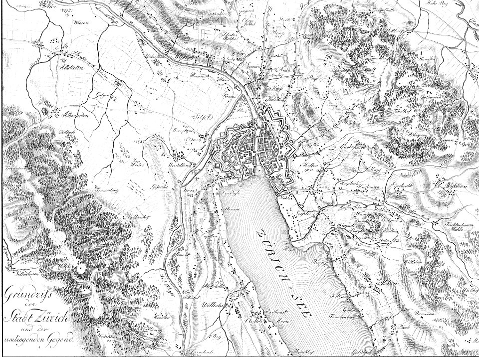
heinrich keller
aussersihl
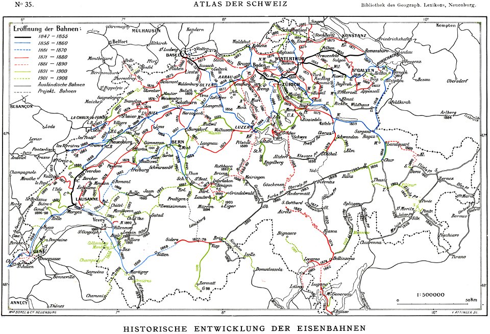
history of rail transport in switzerland
rail transport maps of switzerland
volume 2 of le tour du monde
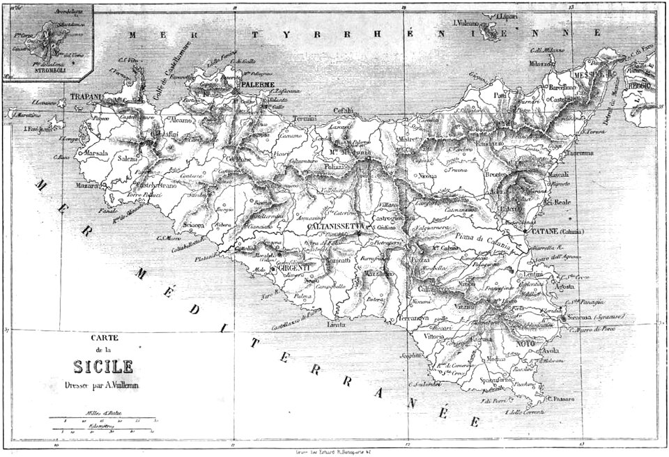
maps by alexandre vuillemin
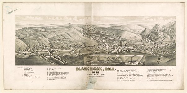
lithographed maps
1882 lithographs
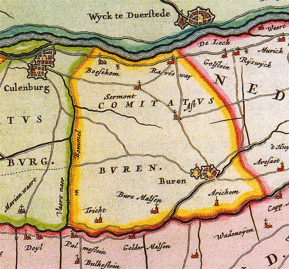
old maps of gelderland
gelderland
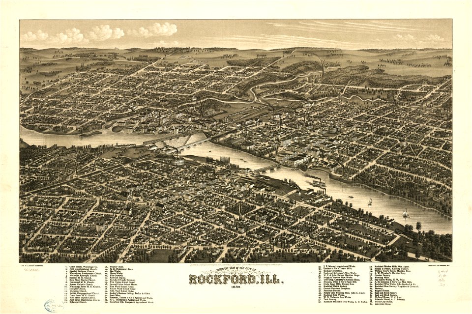
illinois
rockford
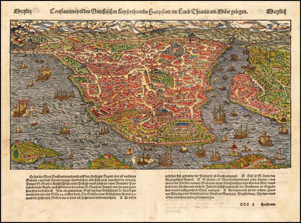
old maps of constantinople
maps by sebastian münster
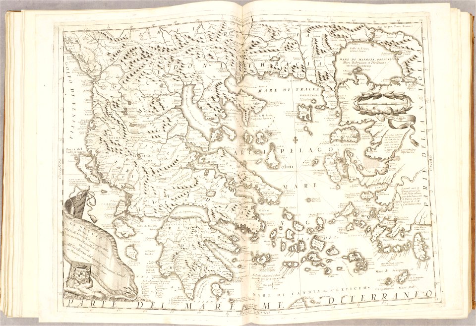
old maps of the aegean sea
old maps of greece
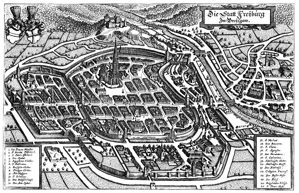
old maps of freiburg im breisgau
1644 maps
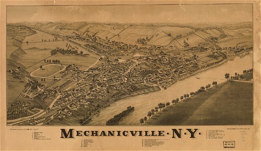
1880 maps
new york
maps in the library of congress
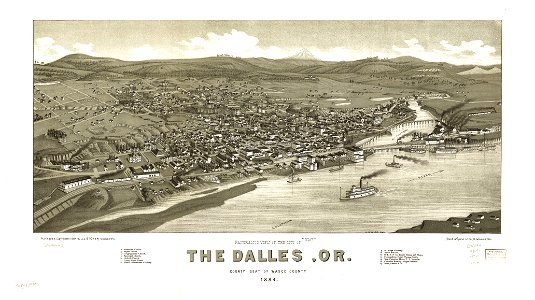
1884 maps of oregon
old maps of papua new guinea
maps of german new guinea
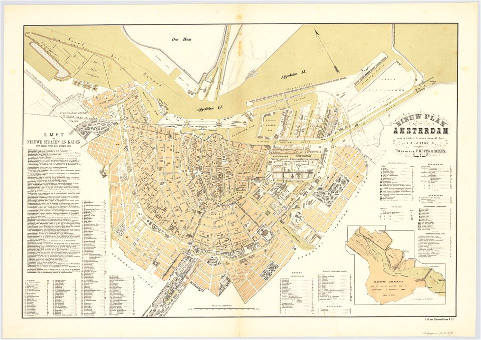
maps in the stadsarchief amsterdam
old maps of amsterdam
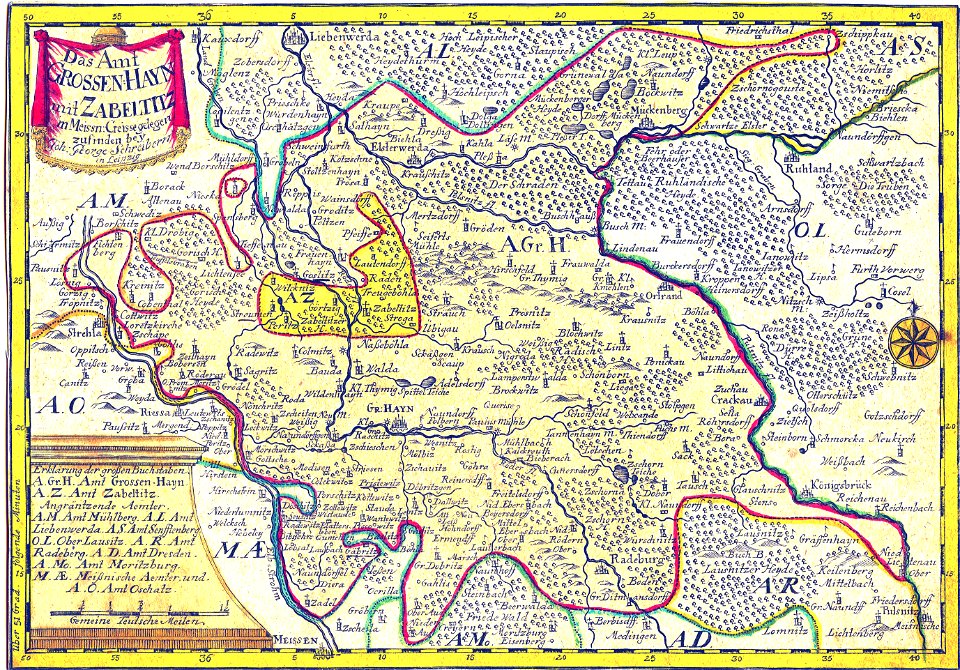
history of lorenzkirch
old maps of saxony
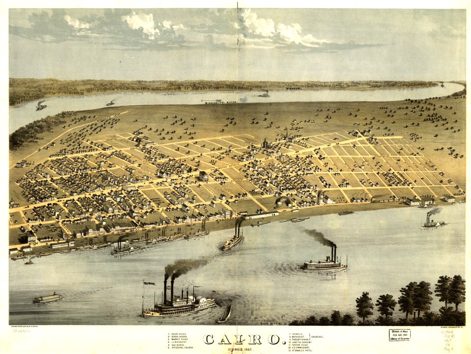
maps in the library of congress
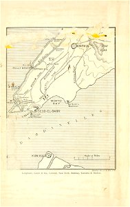
cairo
maps in the library of congress
cairo
new york
camden
maps in the stadsarchief amsterdam
oosterdok
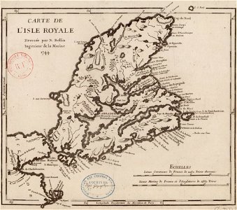
maps by jacques-nicolas bellin
old maps of cape breton island
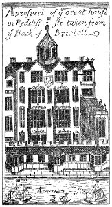
images from bristol past and present (1882)
buildings in bristol
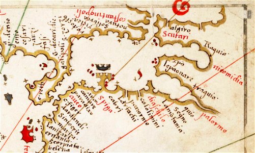
charts and maps of the royal museums greenwich
maps of the sea of marmara
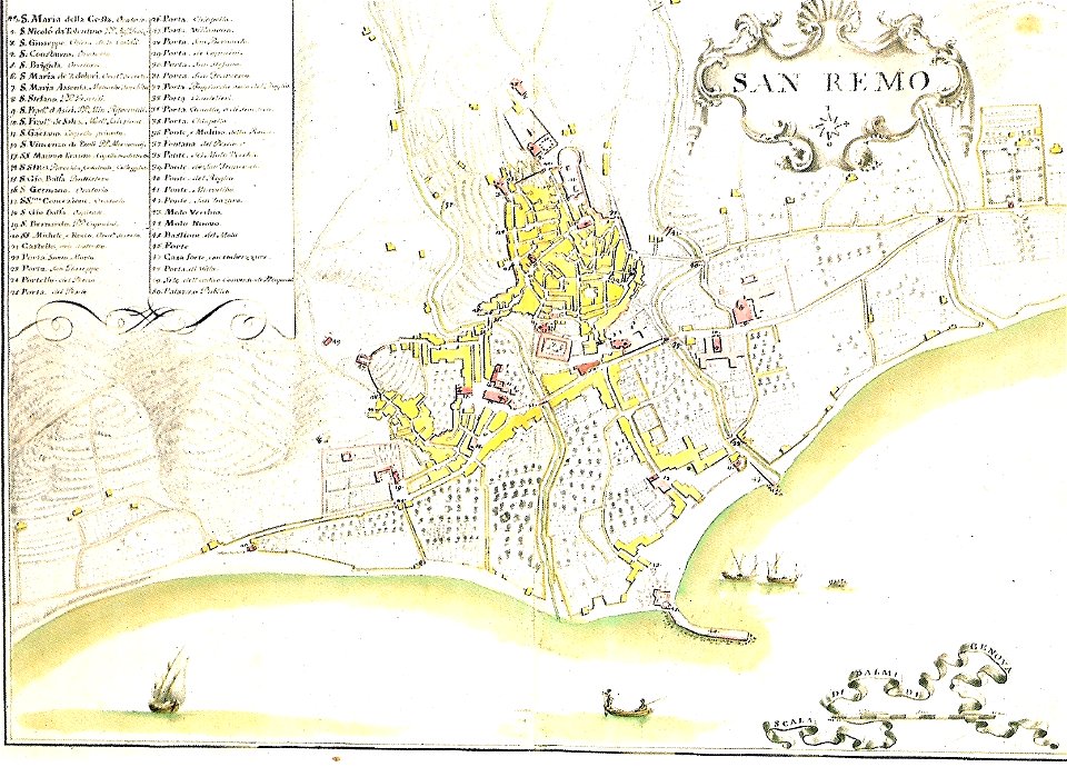
italian riviera
1773
maps in the library of congress
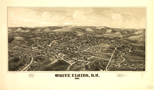
l. r. burleigh
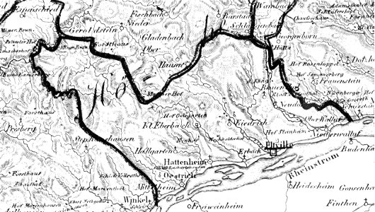
eltville am rhein
1828
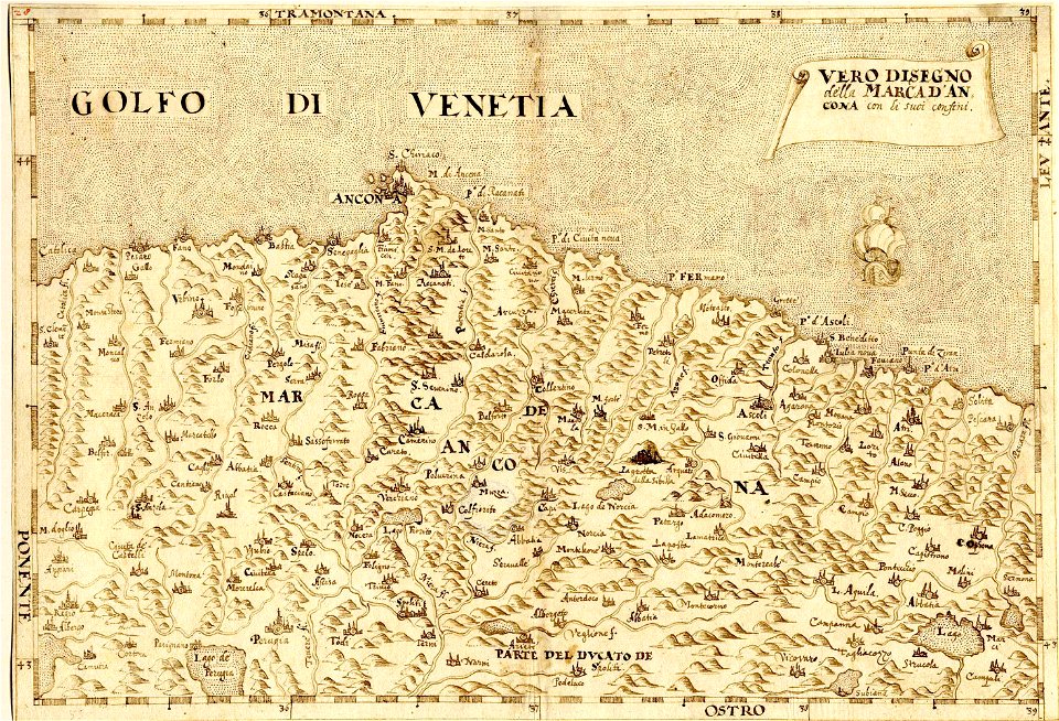
maps made in the 16th century
maps of the march of ancona
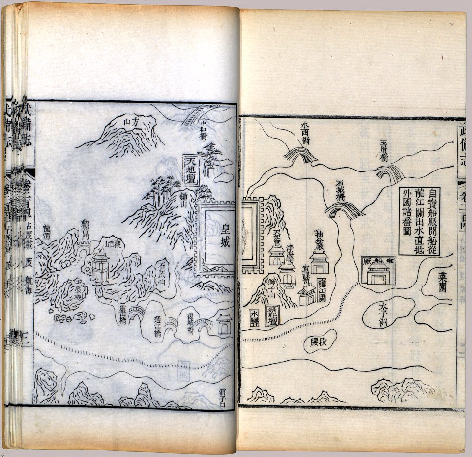
maps in the library of congress
mao kun map
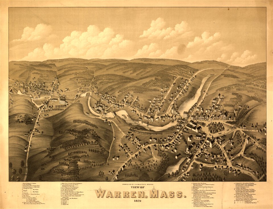
massachusetts
warren
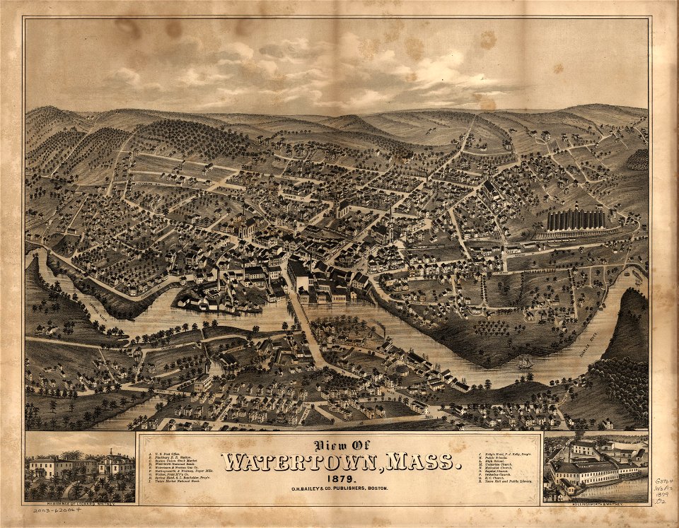
massachusetts
watertown
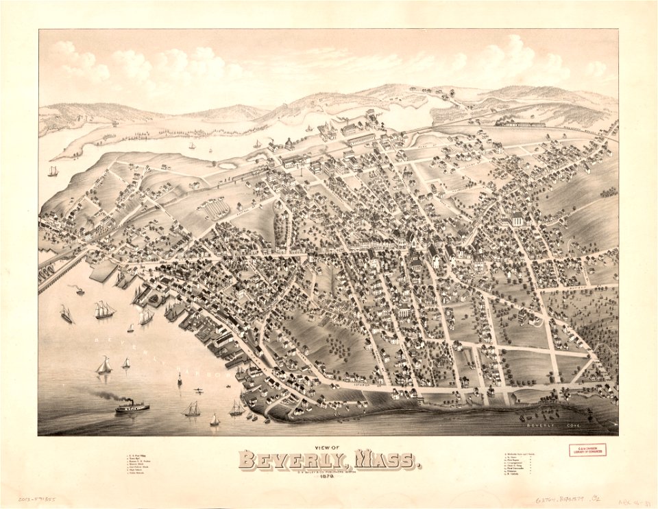
massachusetts
beverly
university of toronto wenceslas hollar digital collection
maps by wenzel hollar
maps by jodocus hondius
samuel purchas
maps by willem and johannes blaeu
joan blaeu
images from bristol past and present (1882)
old maps of bristol
die kunstdenkmäler des kreises konstanz (1887)
maps of baden-württemberg
maps in the library of congress
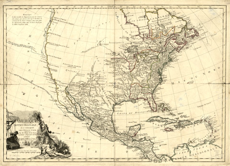
1783 maps of north america
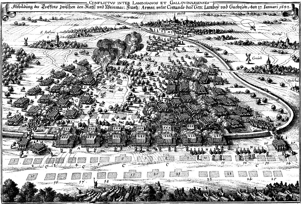
maps of battles of the thirty years' war
engravings of theatrum europaeum
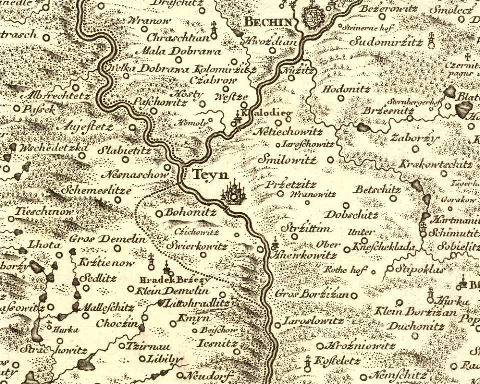
details of müller's map of bohemia
history of týn nad vltavou
dutch 18th-century prints in the rijksmuseum amsterdam
maps of amsterdam
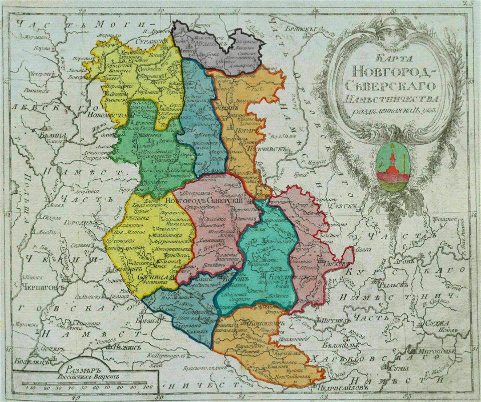
old maps of governorates of the russian empire
small atlas of the russian empire (1792)
small atlas of the russian empire (1796)
old maps of saint petersburg governorate
old maps of turkey
cape helles
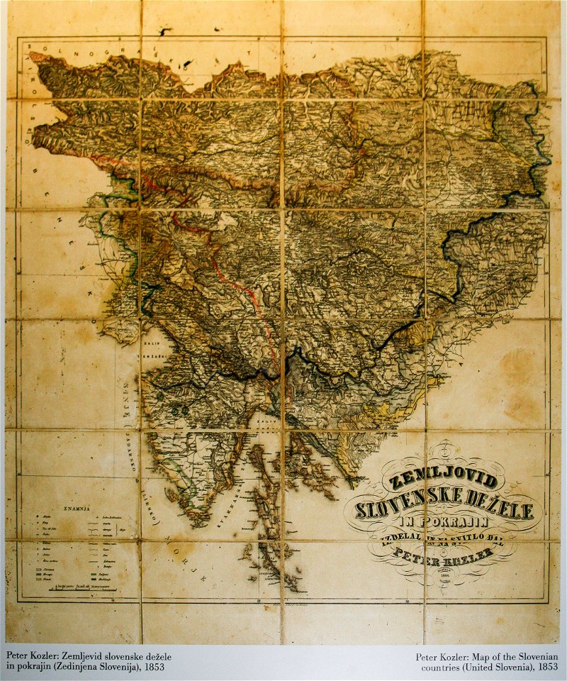
items kept by the national museum of slovenia
february 2008 in ljubljana
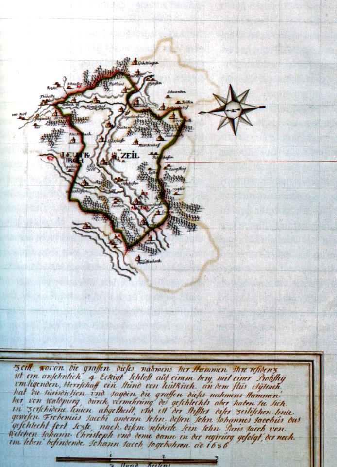
history of leutkirch im allgäu
schloss zeil
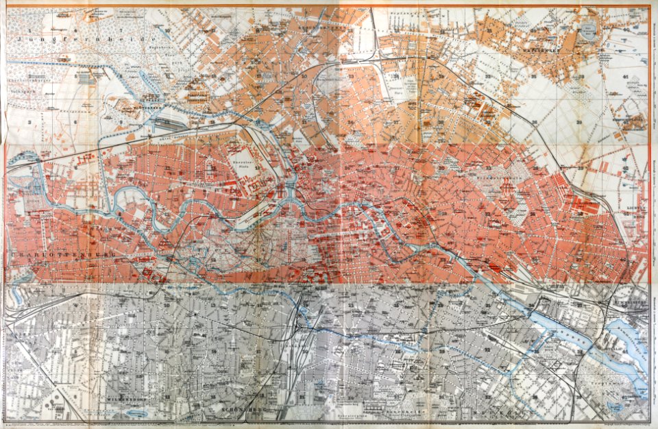
wagner & debes
1914 in berlin
miniature speed atlas (1627) pieter van den keere
maps of wales by john speed
dutch bengal
1720s
johannes janssonius waasbergen
1672
johannes janssonius waasbergen
1672
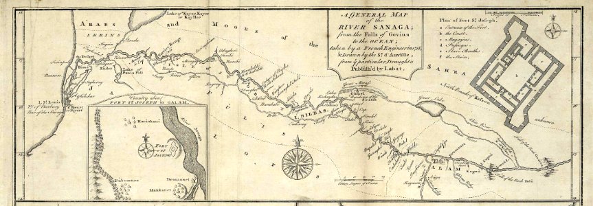
maps of the senegal river
1745
maps of the united kingdom of great britain and ireland
ireland in the 1900s
old maps of cities in germany
maps by matthäus seutter
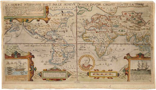
1590s maps of the world
francis drake
images from bristol past and present (1882)
millerd's map of bristol
bibliothèque municipale de reims
rès. g 152
charts and maps of the royal museums greenwich
16th-century maps of the black sea
popular science monthly illustrations/volume 16
eratosthenes
popular science monthly illustrations/volume 48
ice age maps
maps by willem and johannes blaeu
coats of arms of zeeland
geography
maps
maps
mail
background
maps
earth
maps
cartography
maps
maps
flag
travel
maps
brazil
maps
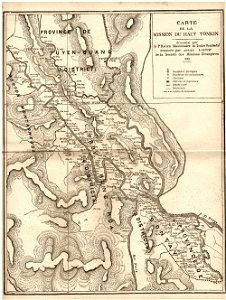
old maps of vietnam
1899
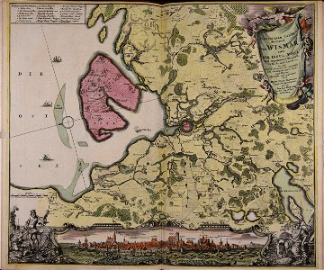
maps made in the 18th century
johann baptist homann
maps with cartouches
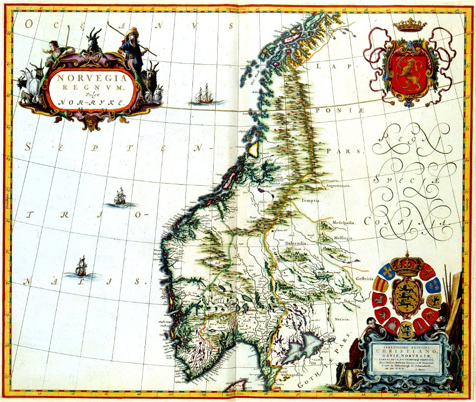
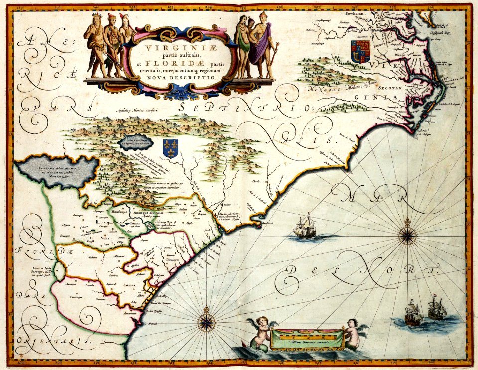
joan blaeu
maps with cartouches
maps of virginia
maps with cartouches
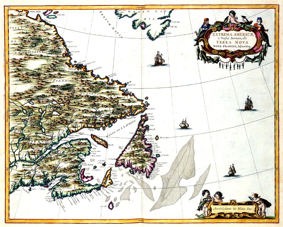
old maps of canada
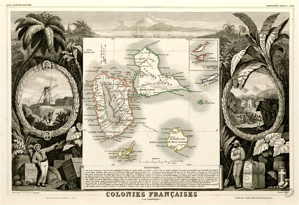
fonds ancely - bibliothèque municipale de toulouse - maps
saint vincent de paul
fonds ancely - bibliothèque municipale de toulouse - maps
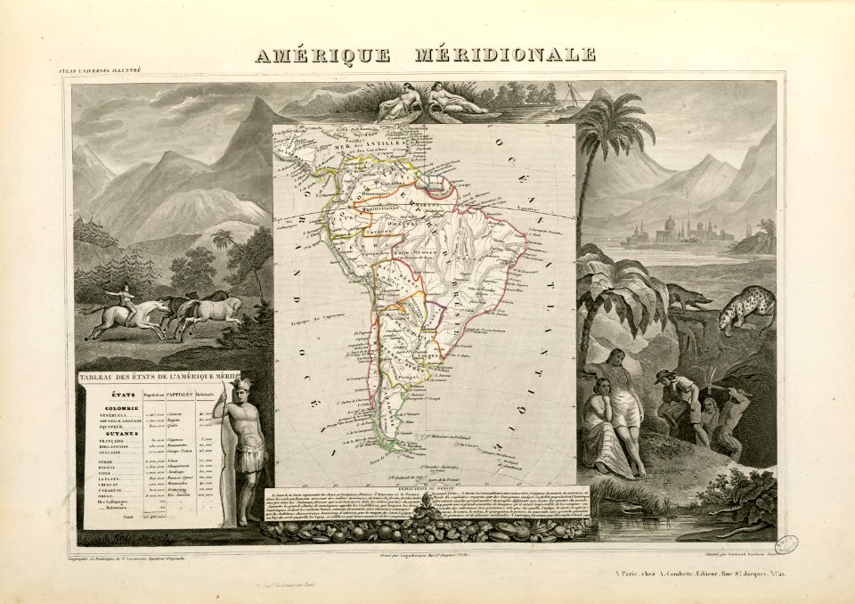
victor levasseur - maps of the world
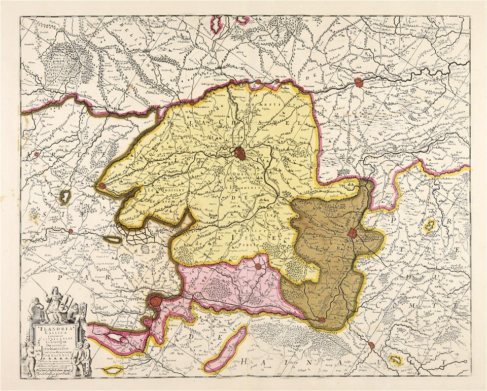
maps made in the 17th century
gerard valck
maps by nicolaes visscher i
claes jansz. visscher (ii)
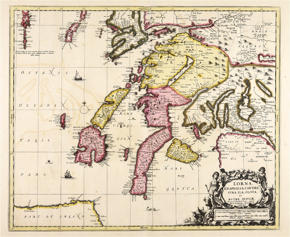
maps made in the 17th century
gerard valck
maps made in the 17th century
gerard valck
victor levasseur - maps of the world
historical images of arecaceae
8401 - 8500 of 357,549
Next page
/ 3576