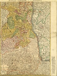
Log in
All resources
Create a design
Tools
357,549 Free Images of Map
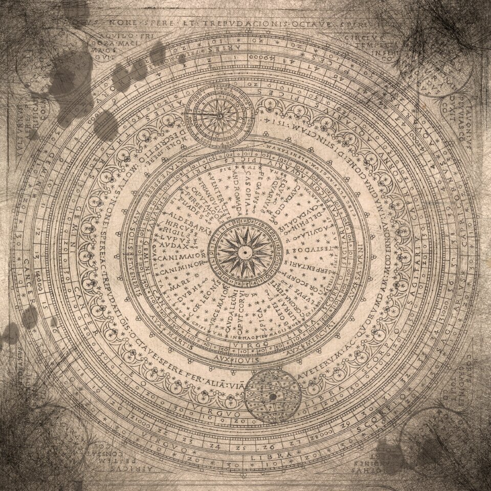
maps made in the 17th century
maps
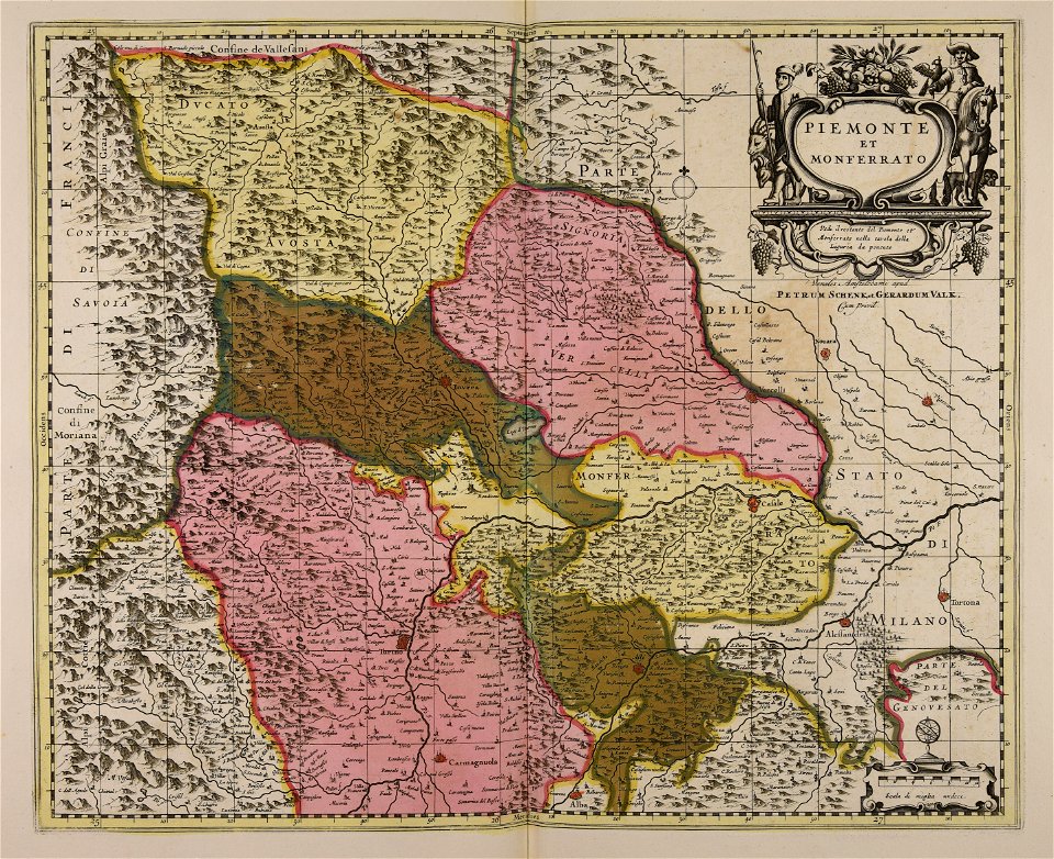
gerard valck
maps by pieter schenk (i)
atlantis magni tomus quartus (biblioteca comunale di trento)
maps with cartouches
atlas van der hagen
atlantis magni tomus tertius (biblioteca comunale di trento)
university of toronto wenceslas hollar digital collection
atlas van der hagen (volume 1)
maps made in the 17th century
gerard valck
university of toronto wenceslas hollar digital collection
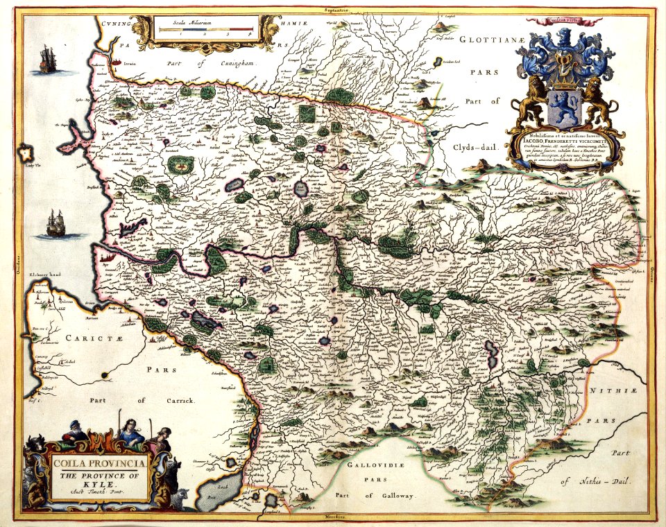
old county maps of sussex
historic views of konstanz
bishopric of constance
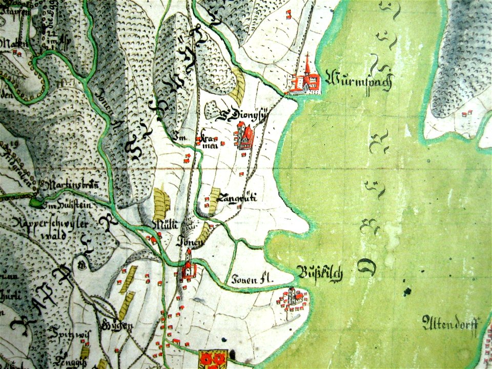
mariazell wurmsbach abbey
gygerkarte
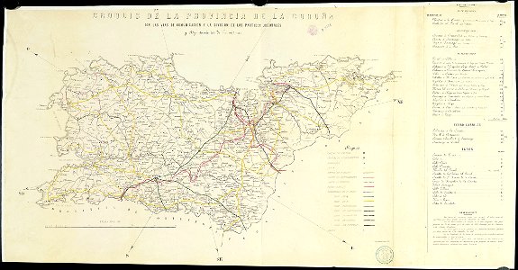
old maps of the province of a coruña
litografía de julio donón
ukiyo-e by unknown artists
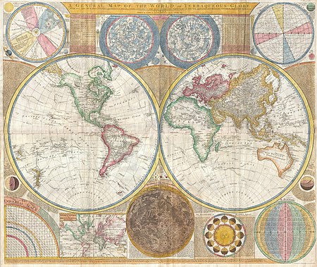
1870s maps of the world
atlantis magni tomus primus (biblioteca comunale di trento)
maps made in the 17th century
ottomar elliger (ii)
1726
maps with cartouches
atlas van der hagen
17th-century maps of the netherlands
maps with cartouches
maps with cartouches
atlas van der hagen
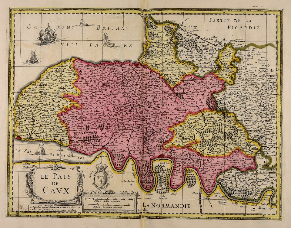
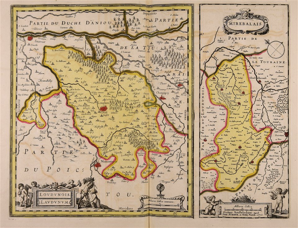
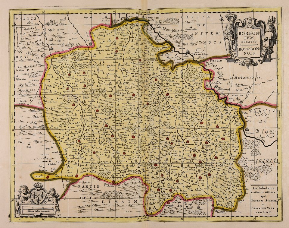
17th-century maps of france
maps with cartouches
maps with cartouches
atlas van der hagen
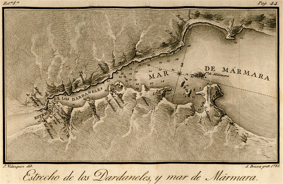
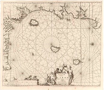
maps of the sea of marmara
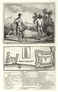
viage á constantinopla
maps made in the 17th century
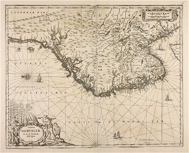
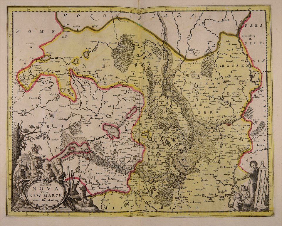
danimarca
atlantis magni tomus tertius (biblioteca comunale di trento)
maps made in the 17th century
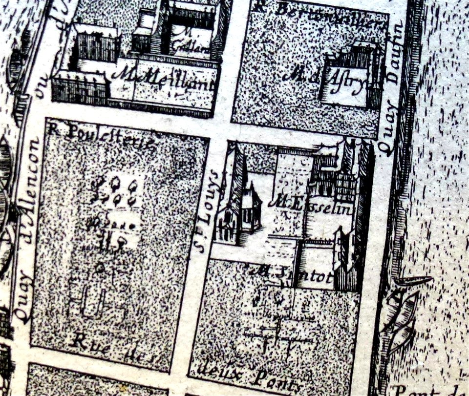
1652 gomboust map of paris - derivative files
old maps of île saint-louis
dell'arcano del mare
harvard university
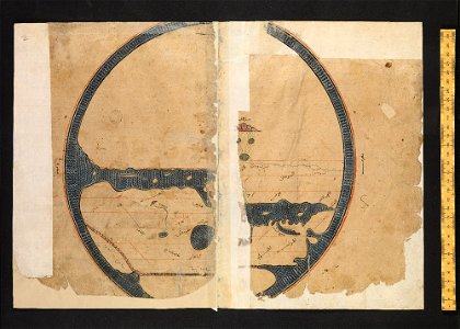
arabic-language manuscripts
bodleian library
collections de la bibliothèque nationale et universitaire de strasbourg
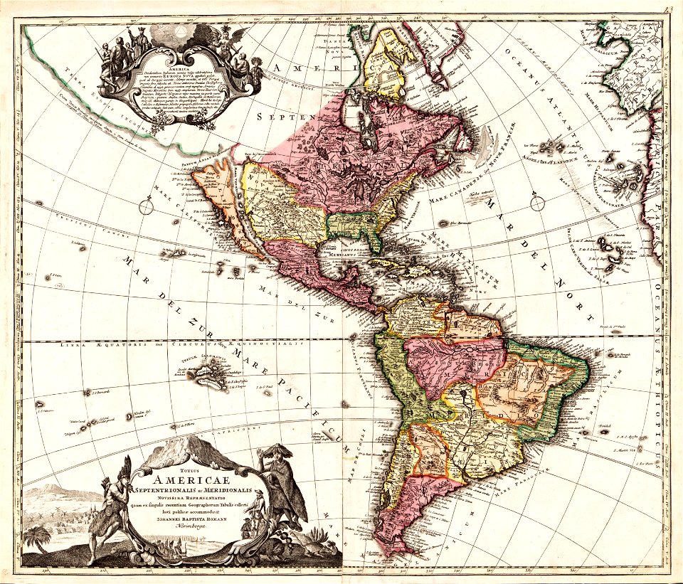
johann baptist homann
gerard valck
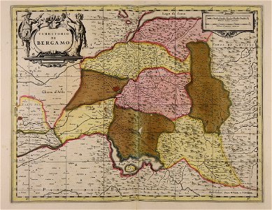
piedmont
o. h. bailey
1880 maps
cornell university library
jr
map collection of leibniz-institut für länderkunde
asie
medieval
maps
coats of arms of cities in alpes-de-haute-provence
pierre gassendi
jean françois paul de gondi de retz
jean-baptiste colbert
maps with cartouches
atlas van der hagen
atlas van der hagen (volume 4)
maps with cartouches
atlas van der hagen (volume 4)
maps with cartouches
flemish prints in the british museum
etchings by wenzel hollar
atlas de wit 1698
frederick de wit
dutch 17th-century prints in the rijksmuseum amsterdam
maps in the rijksmuseum amsterdam
maps of antwerp city walls
frederick de wit
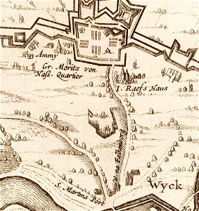
17th-century maps of maastricht
limmel (maastricht)
dutch 17th-century prints in the rijksmuseum amsterdam
maps in the rijksmuseum amsterdam
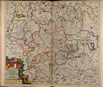
maps of territories in the burgundian circle
atlas novus (blaeu)
gerard valck
brazil
braunschweig in the 1880s
old maps of braunschweig
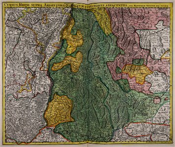
maps made in the 17th century
jan janssonius
maps made in the 17th century
gerard valck
maps made in the 17th century
gerard valck
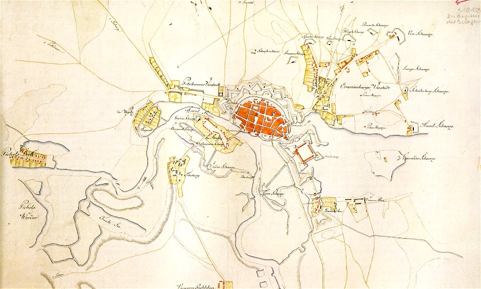
historical documents of the spandau citadel
festung spandau
maps in the library of congress
1707 maps
maps in the library of congress
1707 maps
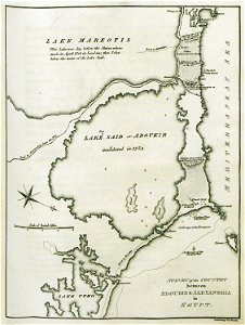
old maps of alexandria
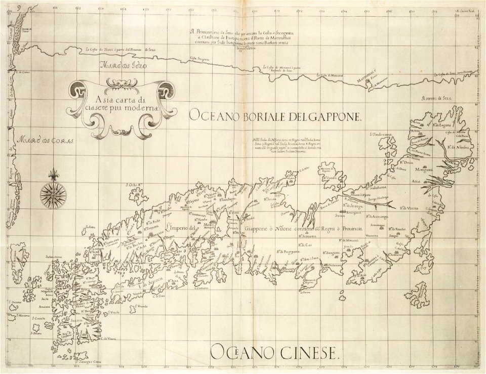
asia and africa
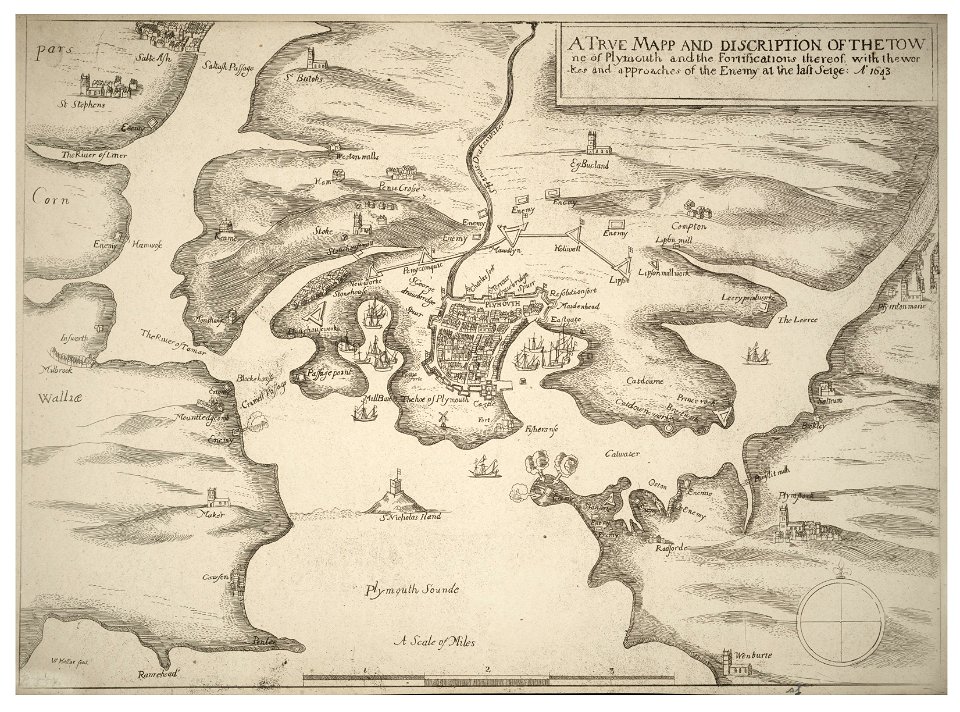
university of toronto wenceslas hollar digital collection
english civil war
atlantis magni tomus quartus (biblioteca comunale di trento)
maps made in the 18th century
maps made in the 17th century
gerard valck
maps made in the 17th century
gerard valck
hand-drawn maps and views of world war i battlefields by h.m.
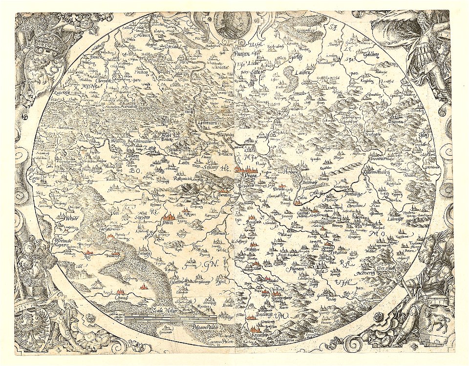
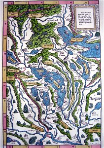
maps made in the 16th century
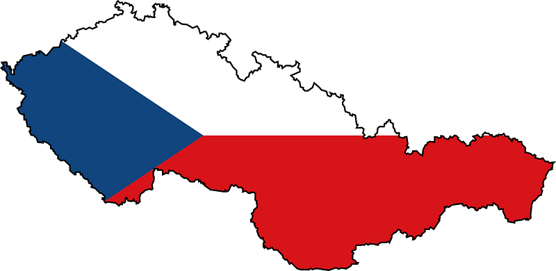
old maps of bohemia
maps made in the 17th century
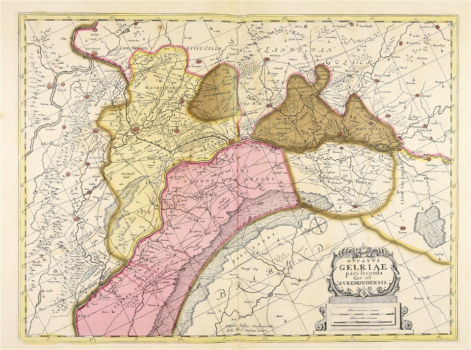
old maps of gelderland
johann baptist homann
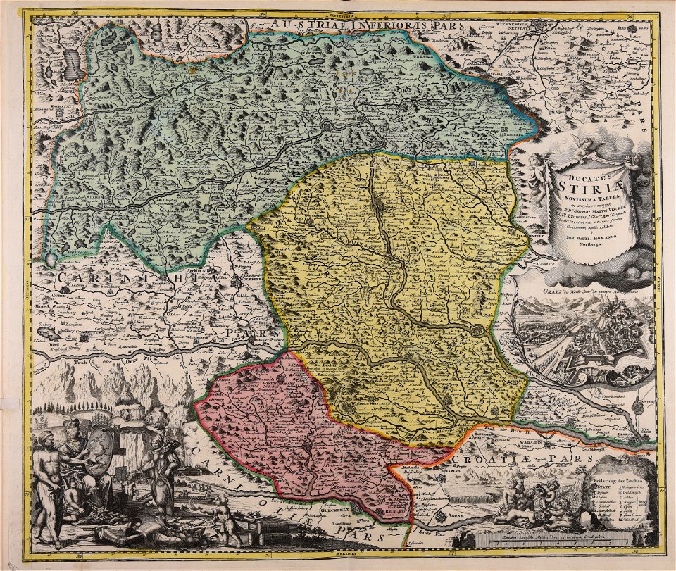
old maps of styria
david rumsey historical map collection – derivative files
turgot map of paris
national flag of bangladesh
pd openclipart
self-published work
flag maps of russia
flags of czechoslovakia
self-published work
symbols for hydrogeological maps
self-published work
icons
maps
world
maps
background
maps
icons
maps
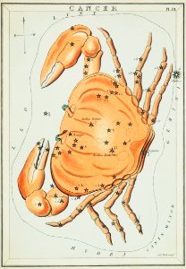
old constellation maps
maps by samuel dunn
symbols for hydrogeological maps
self-published work
maps
ball
black circle
location
gps
pin
self-published work
shaft
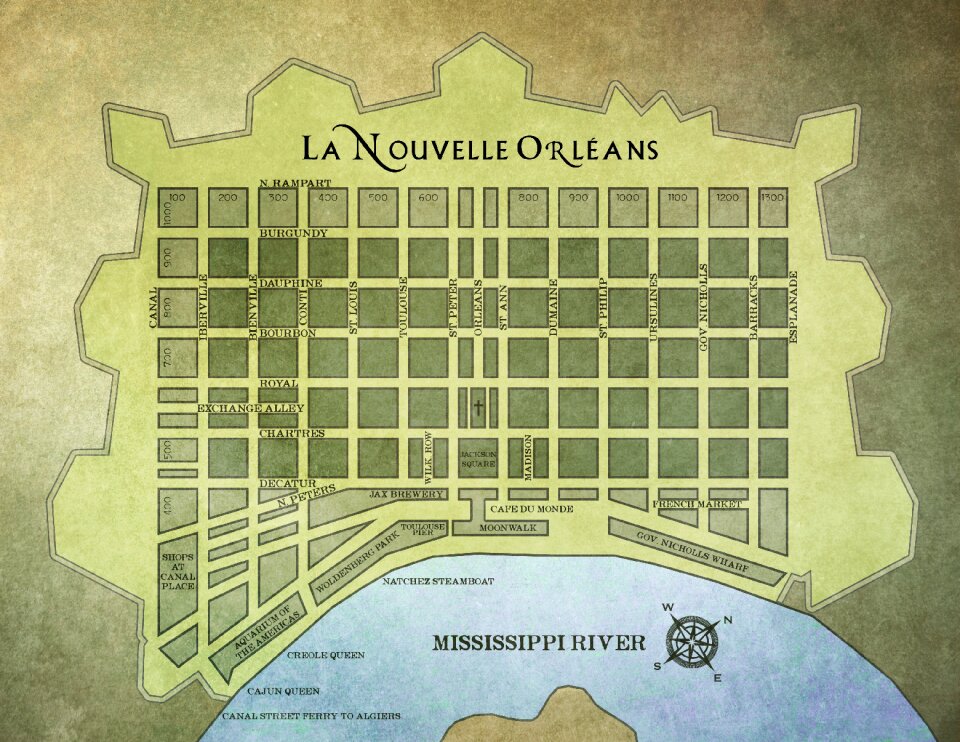
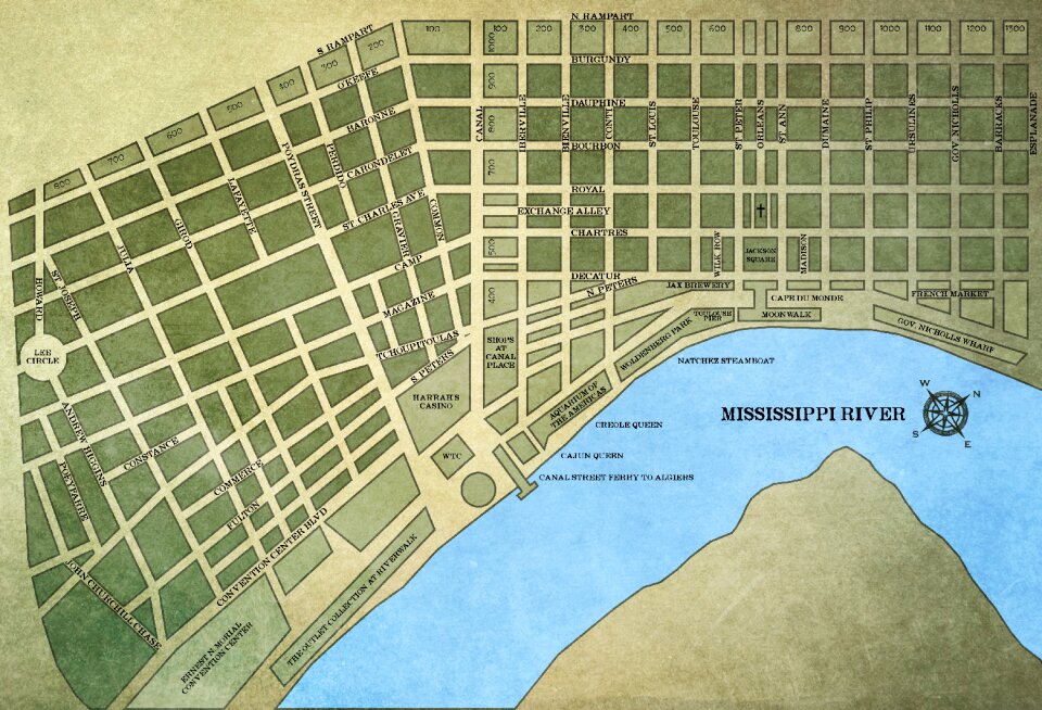
louisiana
maps
illustration
maps
background
maps
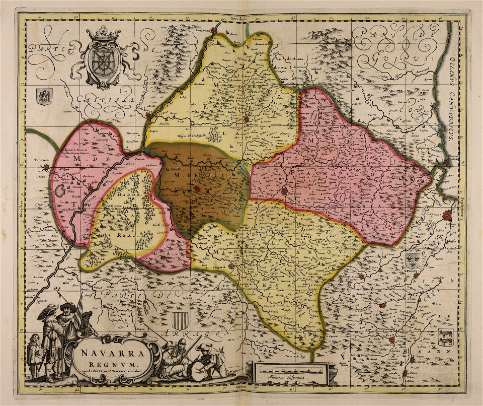
maps with cartouches
atlas van der hagen
pictorial history of the russian war 1854-5-6 by george dodd
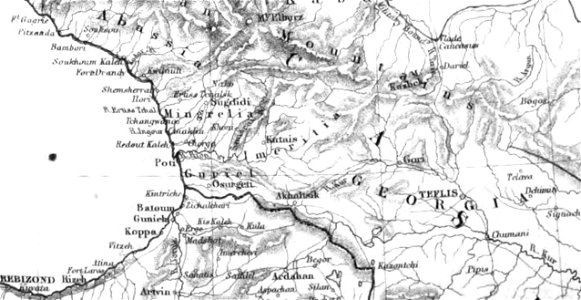
1856 maps of georgia
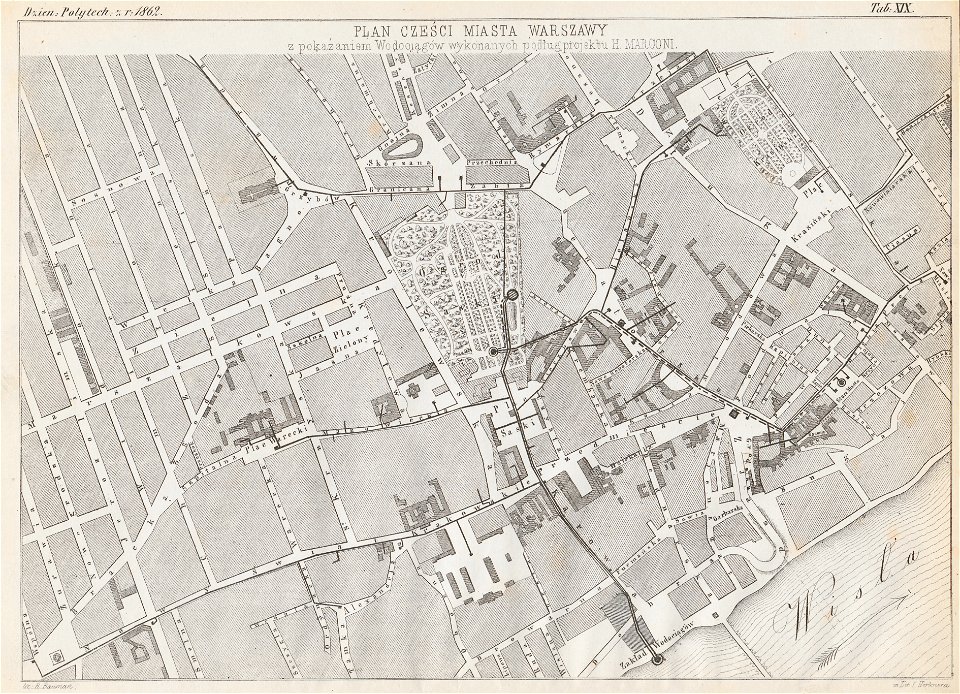
historical maps of warsaw
henryk marconi
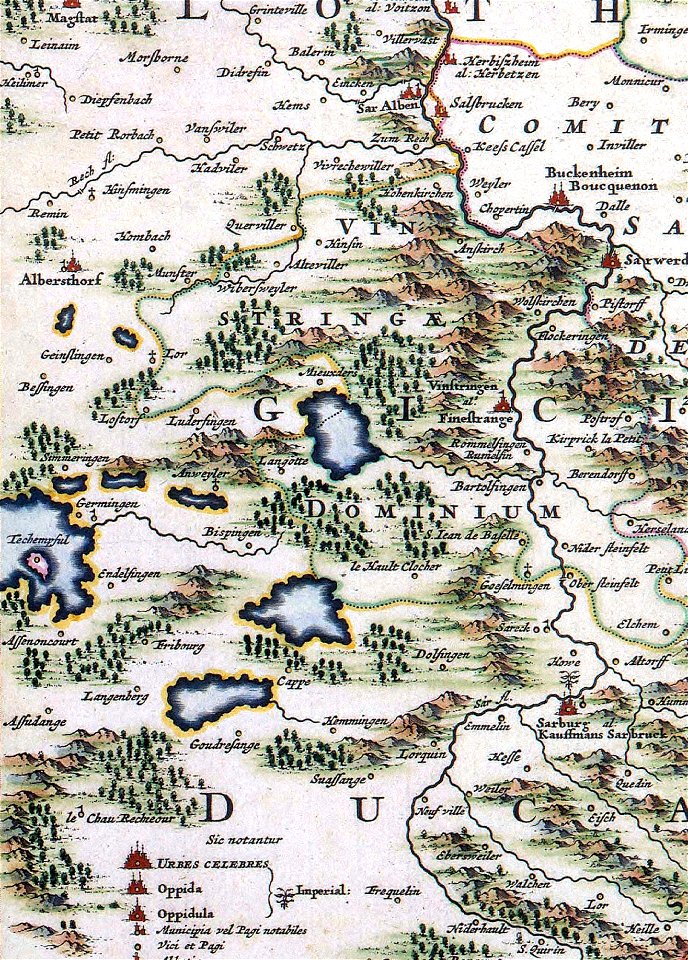
maps made in the 17th century
gerard valck
old maps of the canton of zürich
maps made in the 16th century
dutch 17th-century prints in the rijksmuseum amsterdam
old maps of africa
prints from manesson travaux de mars at the peace palace library
fortifications in france
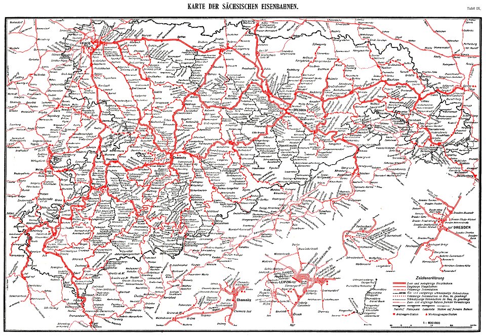
königlich sächsische staatseisenbahnen
enzyklopädie des eisenbahnwesens
maps made in the 17th century
gerard valck
atlas van der hagen (volume 4)
maps with cartouches
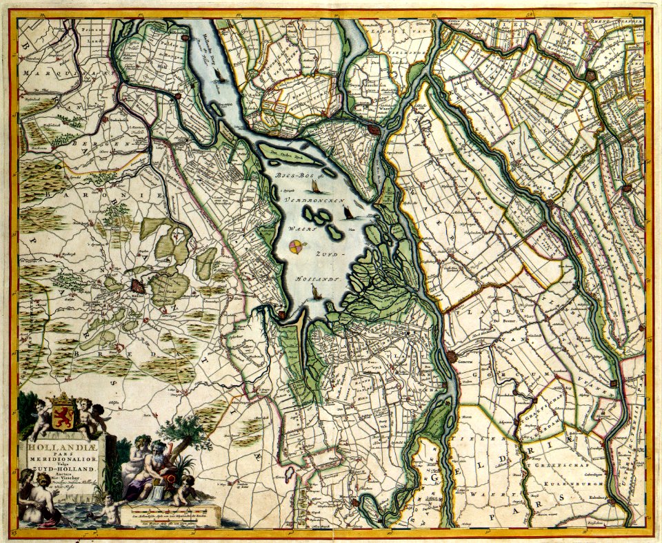
old maps of north brabant
old maps of south holland
old maps of south holland
merwede
old maps of australia
western australia
maps made in the 17th century
jan janssonius
atlantis magni tomus tertius (biblioteca comunale di trento)
maps made in the 18th century
17th-century maps of maastricht
amby (maastricht)
maps made in the 17th century
gerard valck
maps made in the 17th century
old maps of lower saxony
mythology
maps
university of toronto wenceslas hollar digital collection
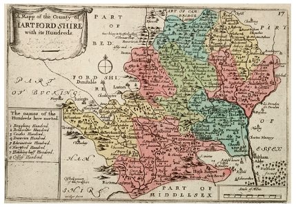
history of watford
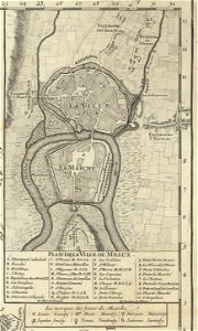
maps of meaux
maps of stuttgart
old maps of gdańsk
augustus mayerberg
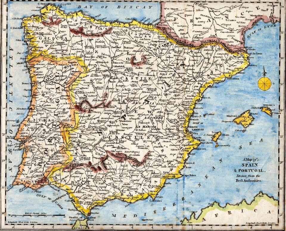
spain
maps
louisiana
maps
christmas
maps
world
blue
9601 - 9700 of 357,549
Next page
/ 3576