Log in
All resources
Create a design
70 Free Images of Maps Of The Dutch East India Company Indonesia
18th-century maps of indonesia
1724
1753 maps
1598
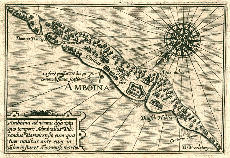
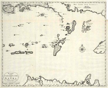
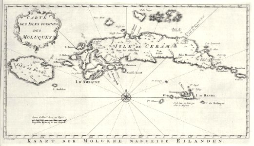
banda islands
old maps of the dutch east india company
1740
1744
1739
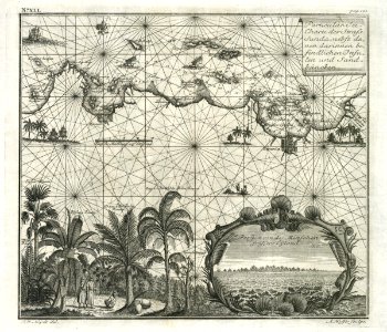
1705
maps of the dutch east india company - indonesia
1705
maps of the dutch east india company - indonesia
1747)
maps of the dutch east india company - indonesia
1705
18th-century maps of indonesia
old maps of the philippines
new holland (australia)
1720s
maps of the dutch east india company - indonesia
maps of the dutch east india company - indonesia
1753 maps
maps of the dutch east india company - indonesia
1753 maps
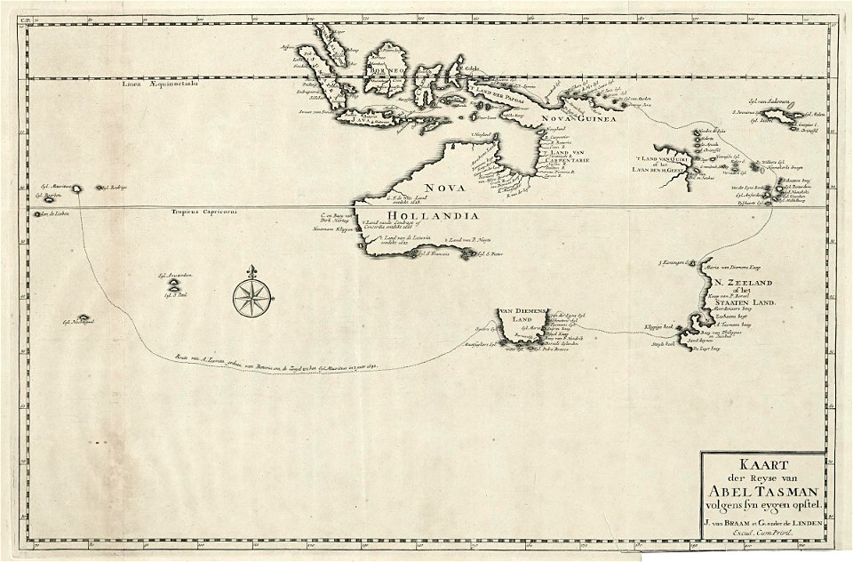
abel tasman
1724 maps
maps of the dutch east india company - indonesia
1740
maps of the dutch east india company - indonesia
1614
maps of the dutch east india company - indonesia
1720s
maps of the dutch east india company - indonesia
1744
maps of the dutch east india company - indonesia
1724
maps of the dutch east india company - indonesia
1744
maps of the dutch east india company - indonesia
1665
maps of the dutch east india company - indonesia
1739
maps of the dutch east india company - indonesia
1682)
maps of the dutch east india company - indonesia
1739
maps of the dutch east india company - indonesia
1598
18th-century maps of indonesia
1753 maps
maps of the dutch east india company - indonesia
1724
maps of the dutch east india company - indonesia
1724
maps of the dutch east india company - indonesia
1724
17th-century maps of indonesia
1665
maps of the dutch east india company - indonesia
adriaan reland
18th-century maps of indonesia
1705
18th-century maps of indonesia
1753 maps
maps of the dutch east india company - indonesia
1753 maps
maps of the dutch east india company - indonesia
1598
maps of the dutch east india company - indonesia
1739
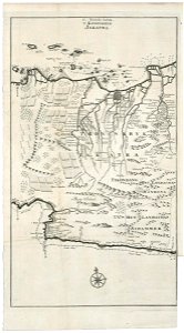
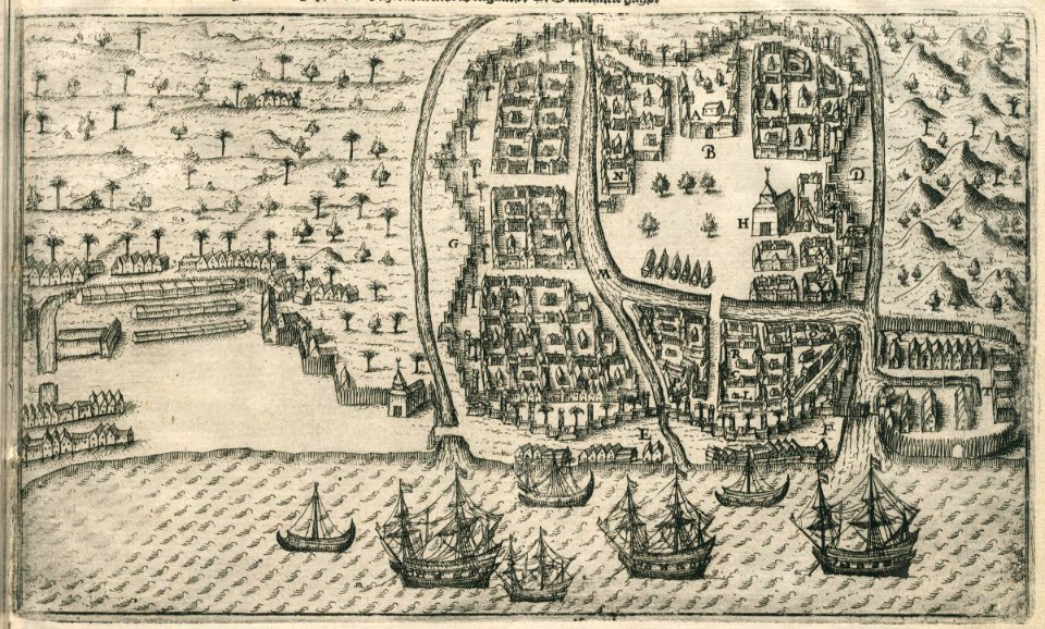
old maps of jakarta
1682)
old maps of borneo
1750
maps of the dutch east india company - indonesia
1763
maps of the dutch east india company - indonesia
1598
maps of the dutch east india company - indonesia
1682)
maps of the dutch east india company - indonesia
1739
maps of the dutch east india company - indonesia
1753 maps
maps of the dutch east india company - indonesia
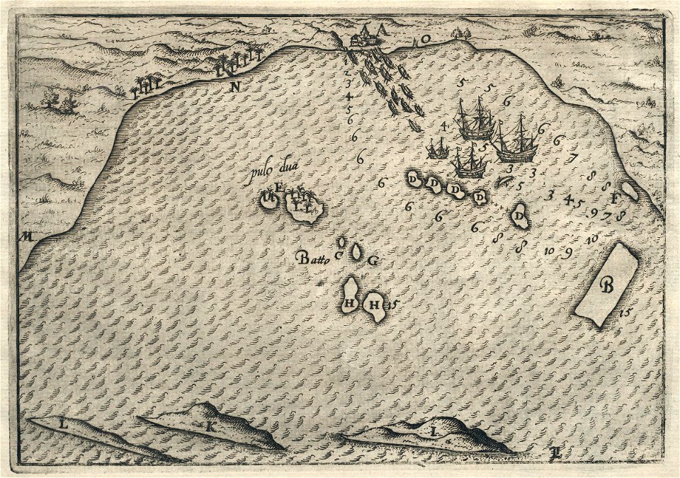
banda islands
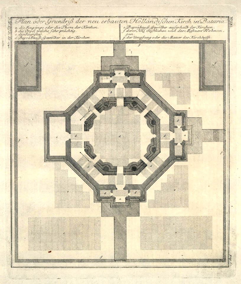
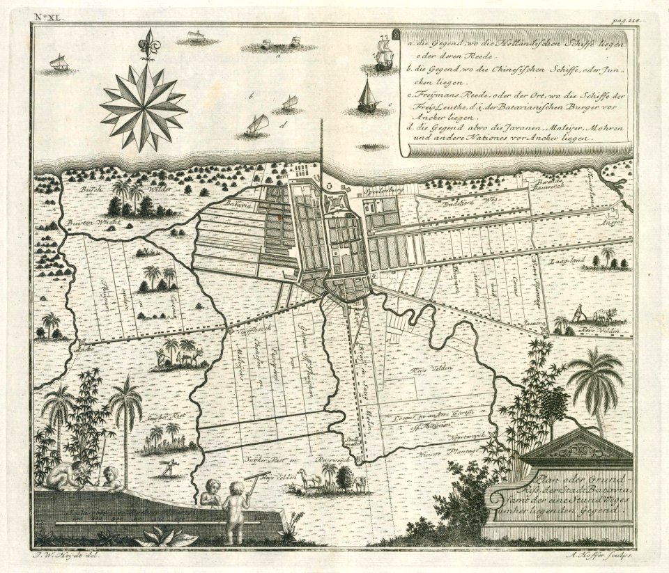
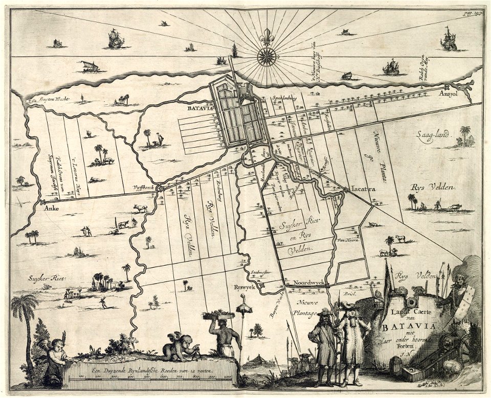
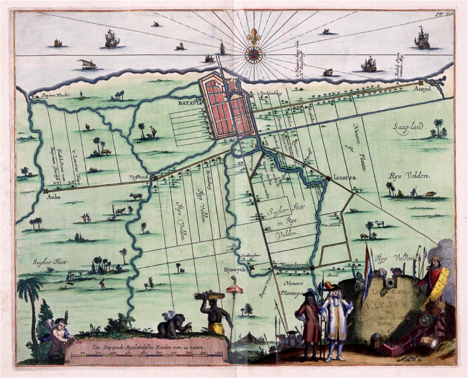
batavia
1740
gerard van keulen
1720s
maps of the dutch east india company - indonesia
maps of the dutch east india company - indonesia
1724
maps of the dutch east india company - indonesia
1740
18th-century maps of indonesia
1744
18th-century maps of indonesia
banda islands
kota tua
batavia
maps of the dutch east india company - indonesia
1753 maps
maps of the dutch east india company - indonesia
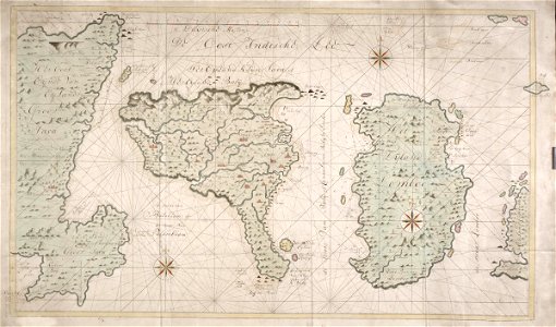
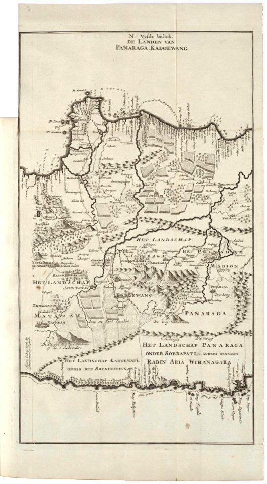
maps of east java
maps of the dutch east india company - indonesia
1724
18th-century maps of indonesia
1724
18th-century maps of indonesia
1724
maps of the dutch east india company - indonesia
1598
17th-century maps of indonesia
1621
maps of the dutch east india company - indonesia
1598
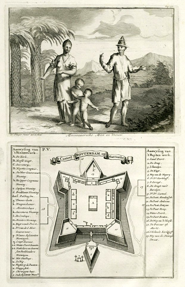
makassar
1757
maps of the dutch east india company - indonesia
onrust island
18th-century maps of indonesia
1757
17th-century maps of indonesia
1614
maps of the dutch east india company - indonesia
1616
banda islands
1724
old maps of borneo
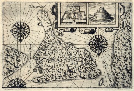
samba
maps of the dutch east india company - indonesia
1646 drawings in indonesia
18th-century maps of indonesia
1724
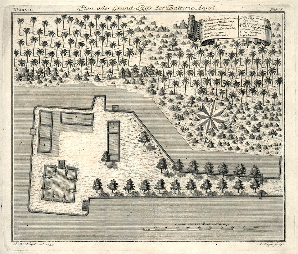
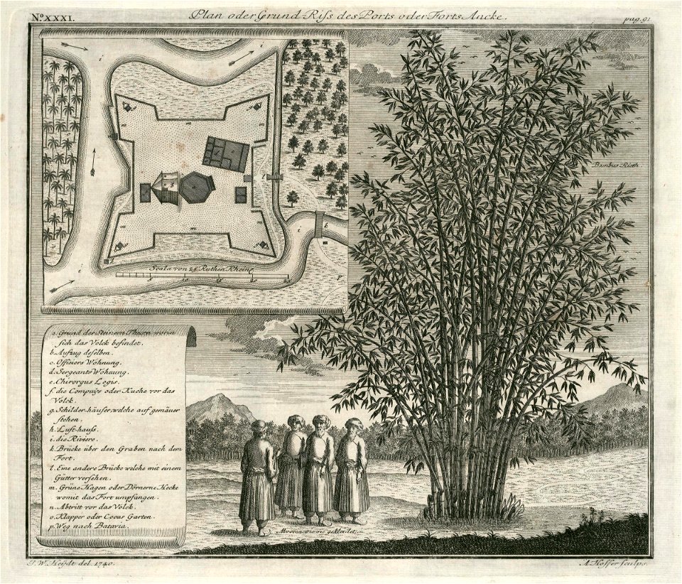
fort anké
1740
maps of the dutch east india company - indonesia
banda islands
maps of the dutch east india company - indonesia
1724
18th-century maps of indonesia
1744
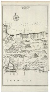
mataram sultanate
rembang regency
ottomar elliger (ii)
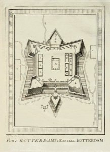
fort rotterdam
1 - 70 of 70
/ 1