Log in
All resources
Create a design
Tools
357,549 Free Images of Maps
maps in the library of congress
us states
1889 maps
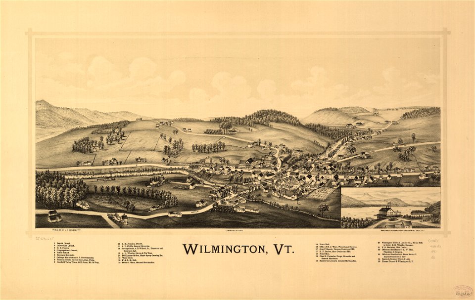
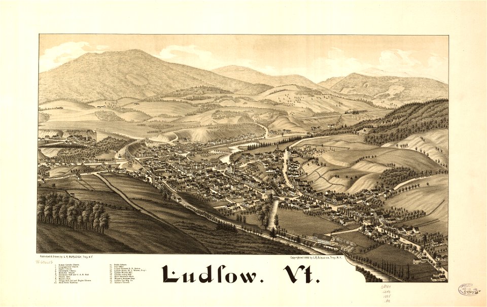
old maps of vermont
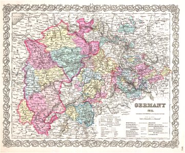
maps by joseph hutchins colton
old maps of massachusetts
1886 maps
1855 maps
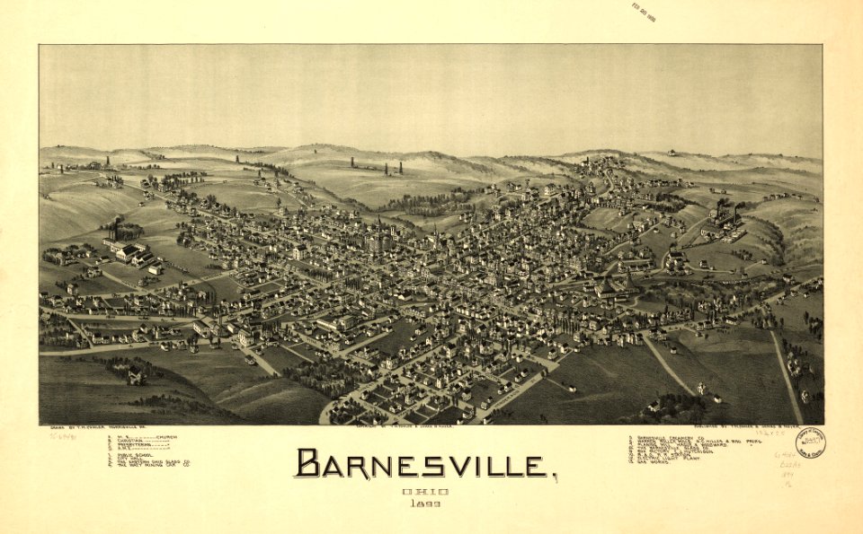
ohio
bird's eye view maps of ohio
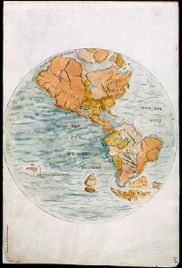
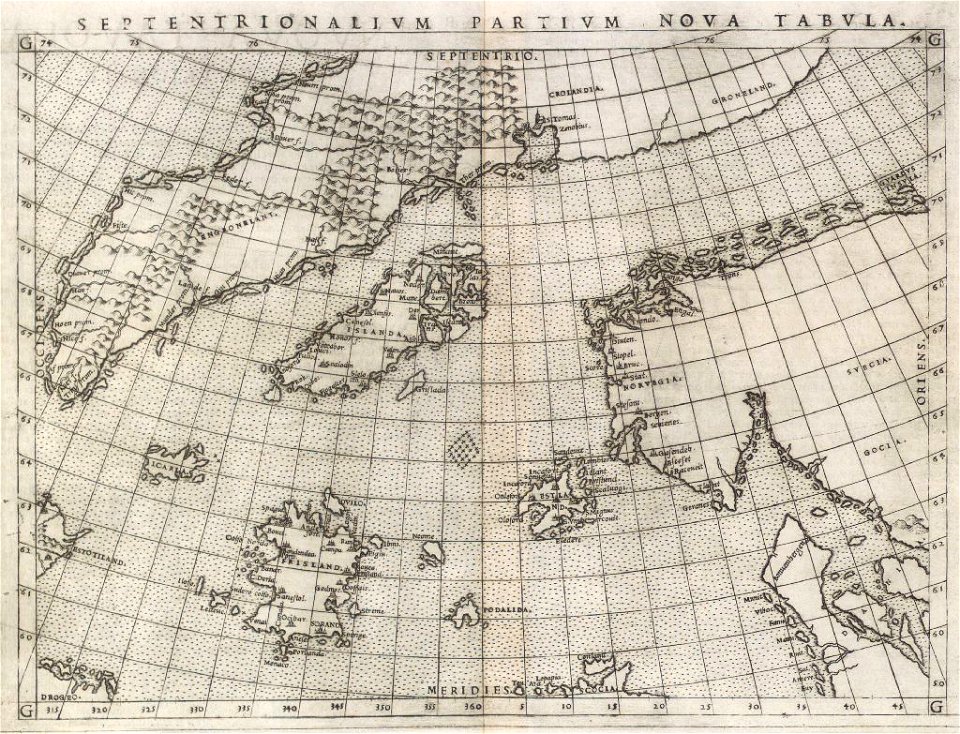
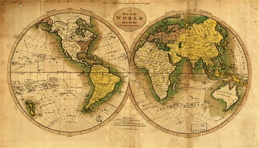
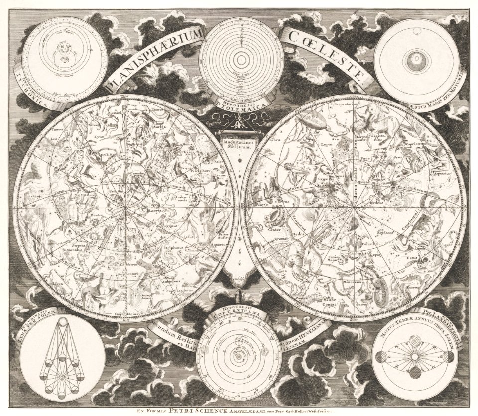
old maps of earth's hemispheres
pictorial maps
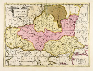
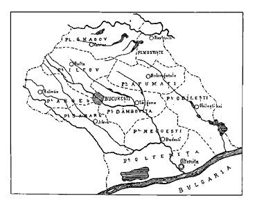
maps of romania
gerard valck
italian-language maps
1776 maps
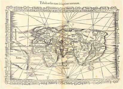
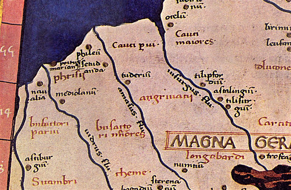
ptolemaic world maps
latin-language maps
43rd indiana infantry regiment
1855 maps
maps by joseph hutchins colton
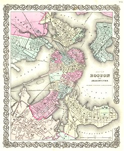
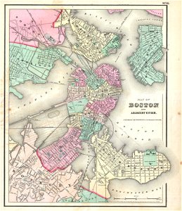
1855 in boston
maps by joseph hutchins colton
1855 maps of rhode island
19th-century maps of london
1855 maps
david rumsey historical map collection
1813 maps
david rumsey historical map collection
joan blaeu
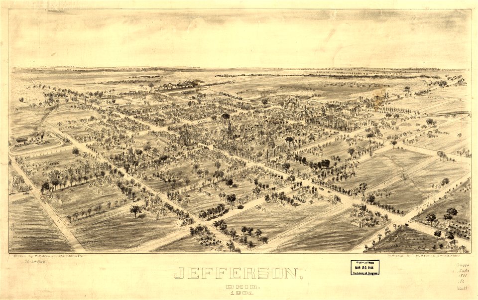
jefferson
ohio
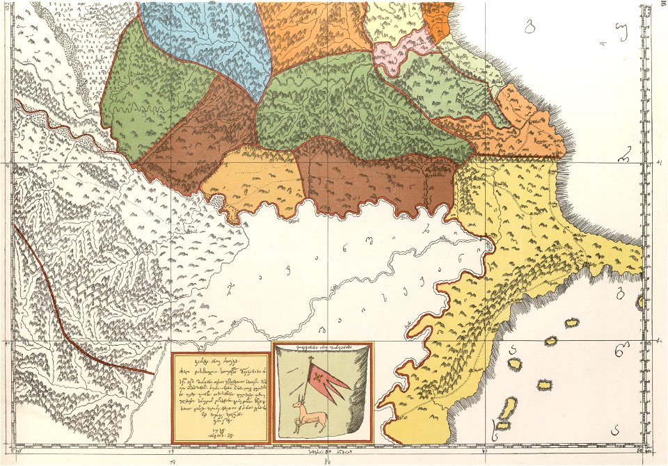
description of kingdom of georgia
its habits and canons
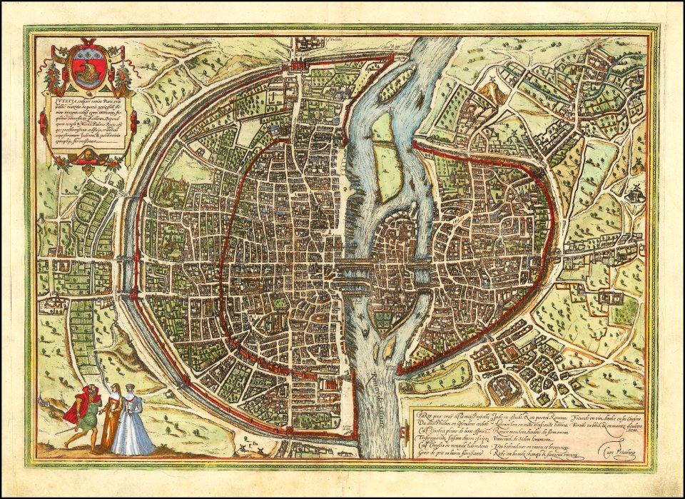
maps of paris from the barry lawrence ruderman antique maps inc.
maps of paris by braun & hogenberg
maps in the library of congress
ohio
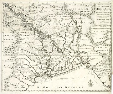
dutch bengal
1726 maps
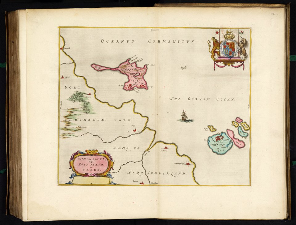
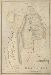
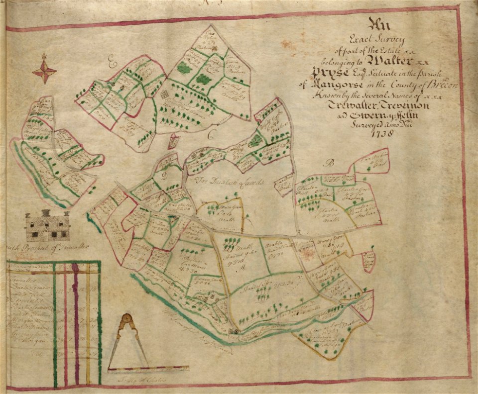
estate maps in the national library of wales
estate maps
coats of arms on maps
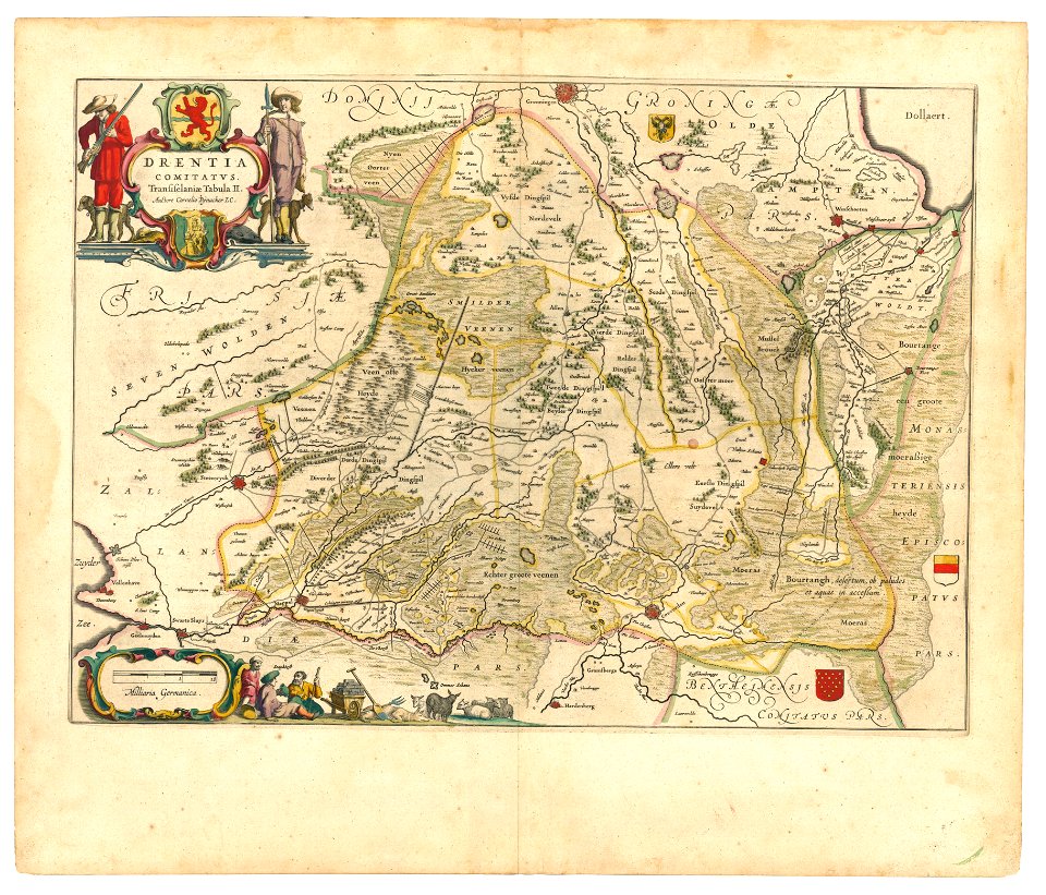
old maps of drenthe
maps
flag
maps
usa
old maps of vermont
1891 map
provided by landsbókasafn íslands
1561 maps
maps in the library of congress
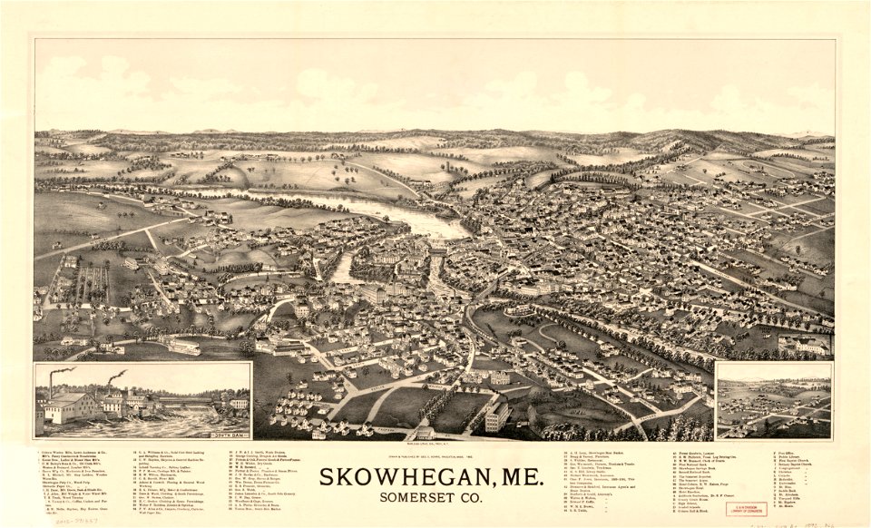
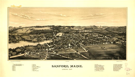
old maps of maine
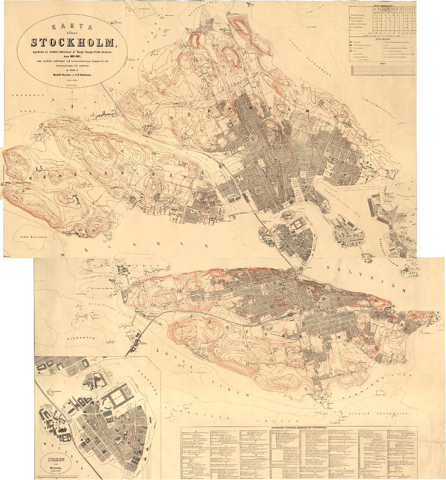
19th-century maps of stockholm
1870 maps
maps in the library of congress
old maps of maine
maps with cartouches
braun & hogenberg
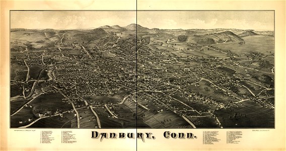
maps in the library of congress
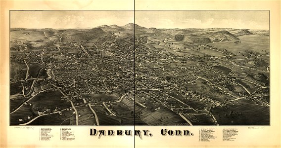
old maps of connecticut
maps in the library of congress
old maps of connecticut
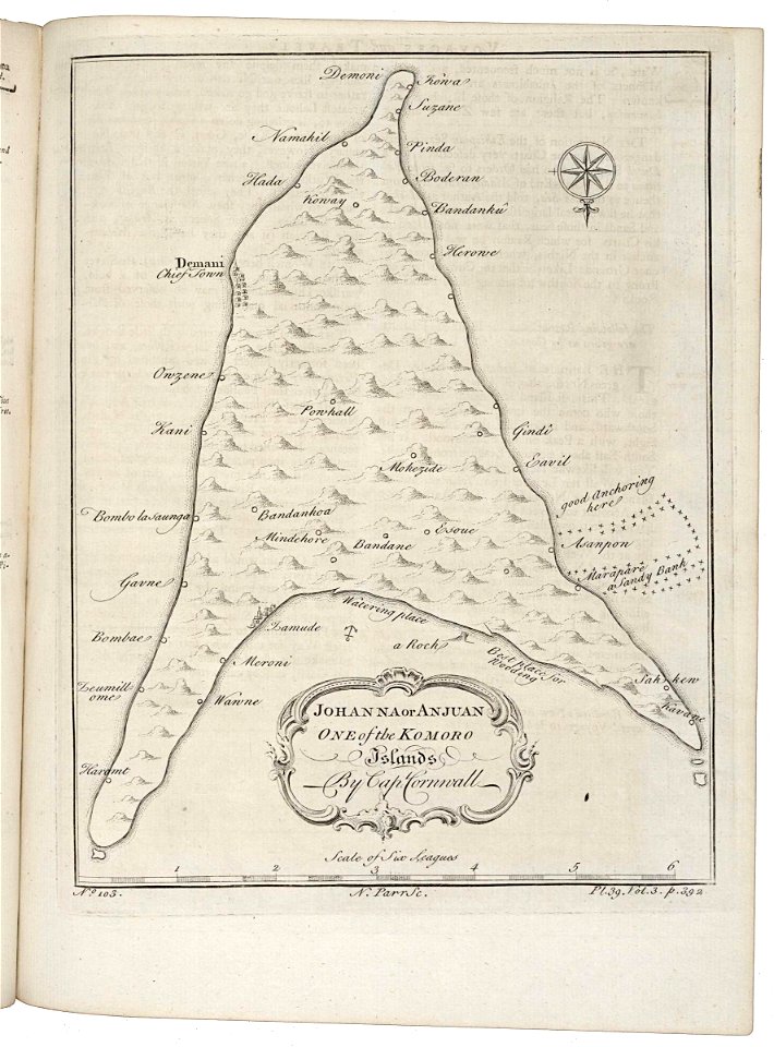
old maps of anjouan
1745 maps
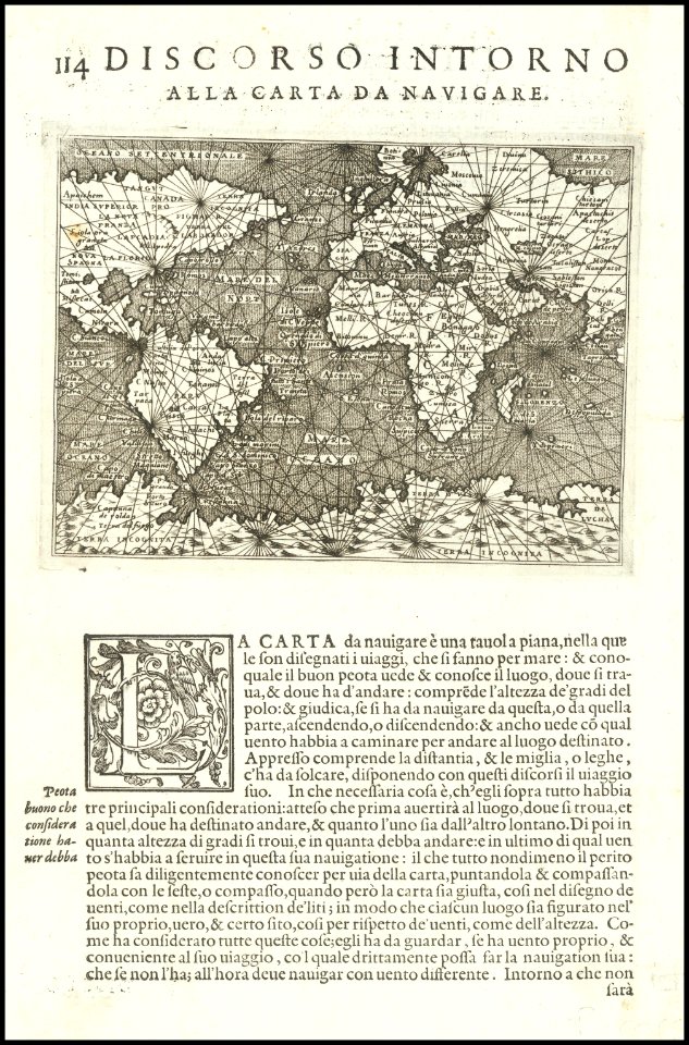
1570s maps of the world
tommaso porcacchi
maps by sebastian münster
ptolemy's 1st african map
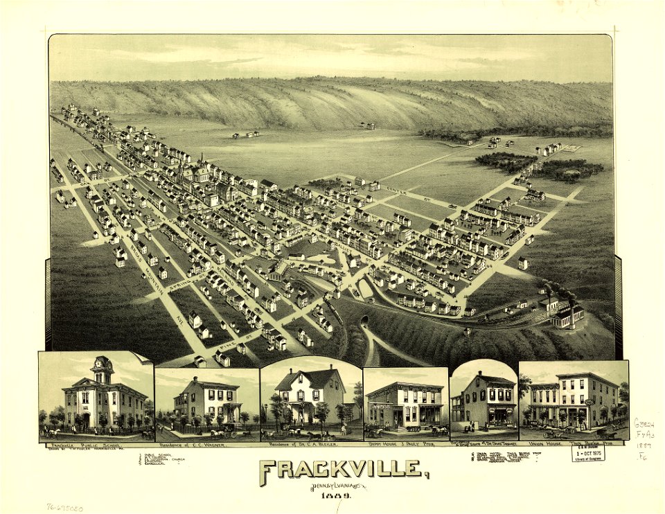
maps in the library of congress
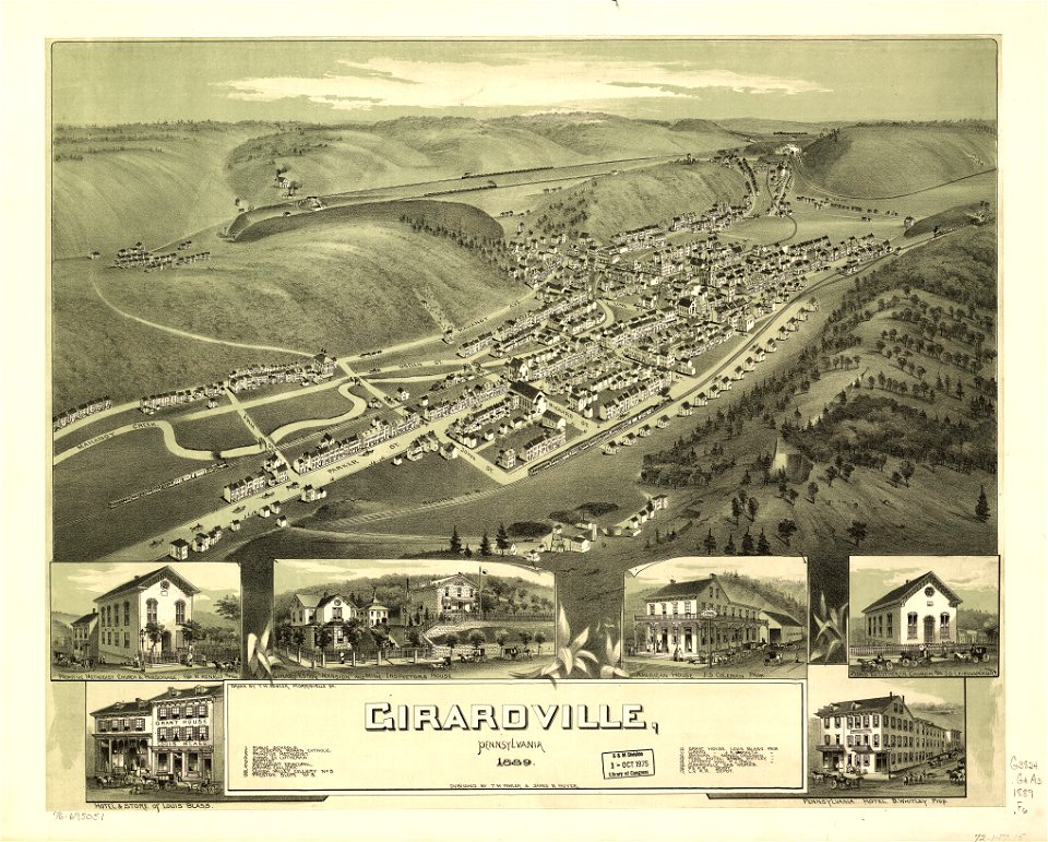
old maps of pennsylvania
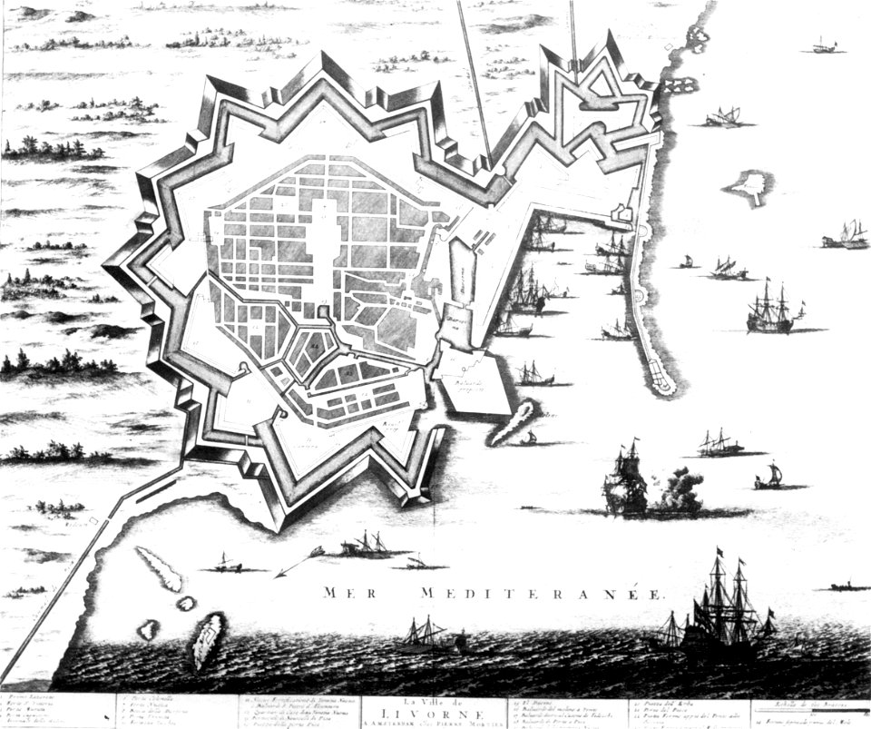
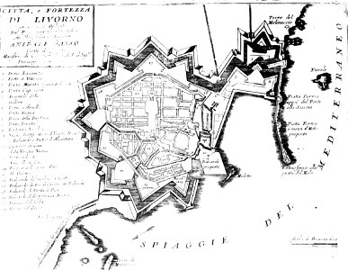
old maps of livorno
maps by coronelli
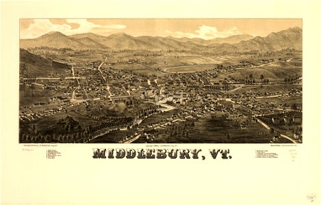
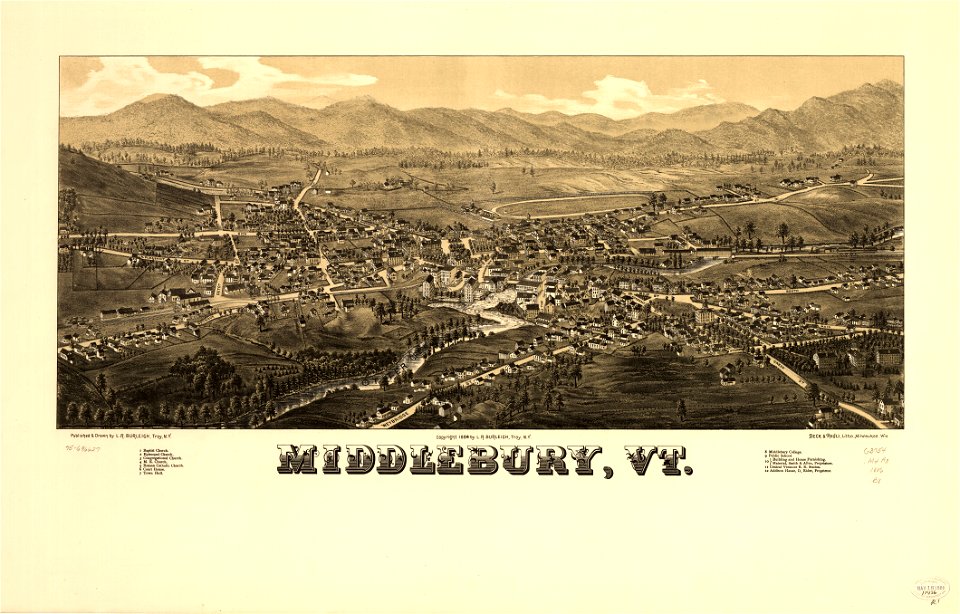
maps in the library of congress
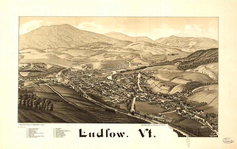
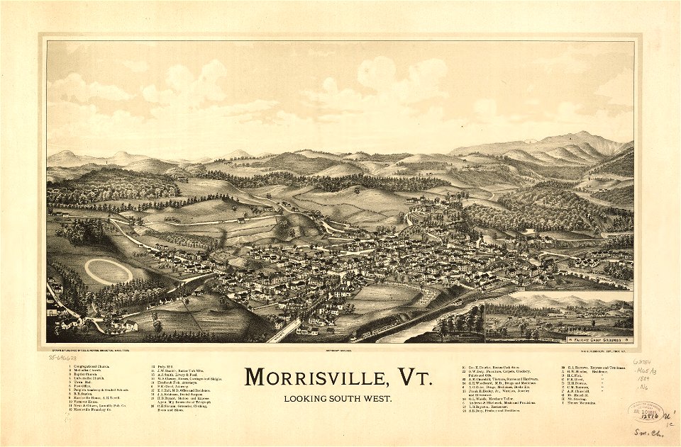
old maps of vermont
maps by frederick de wit
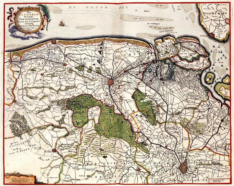
old maps of flanders
maps in the library of congress
1795 maps
maps in the library of congress
old maps of vermont
maps in the library of congress
old maps of pennsylvania
ships on maps
1590 maps
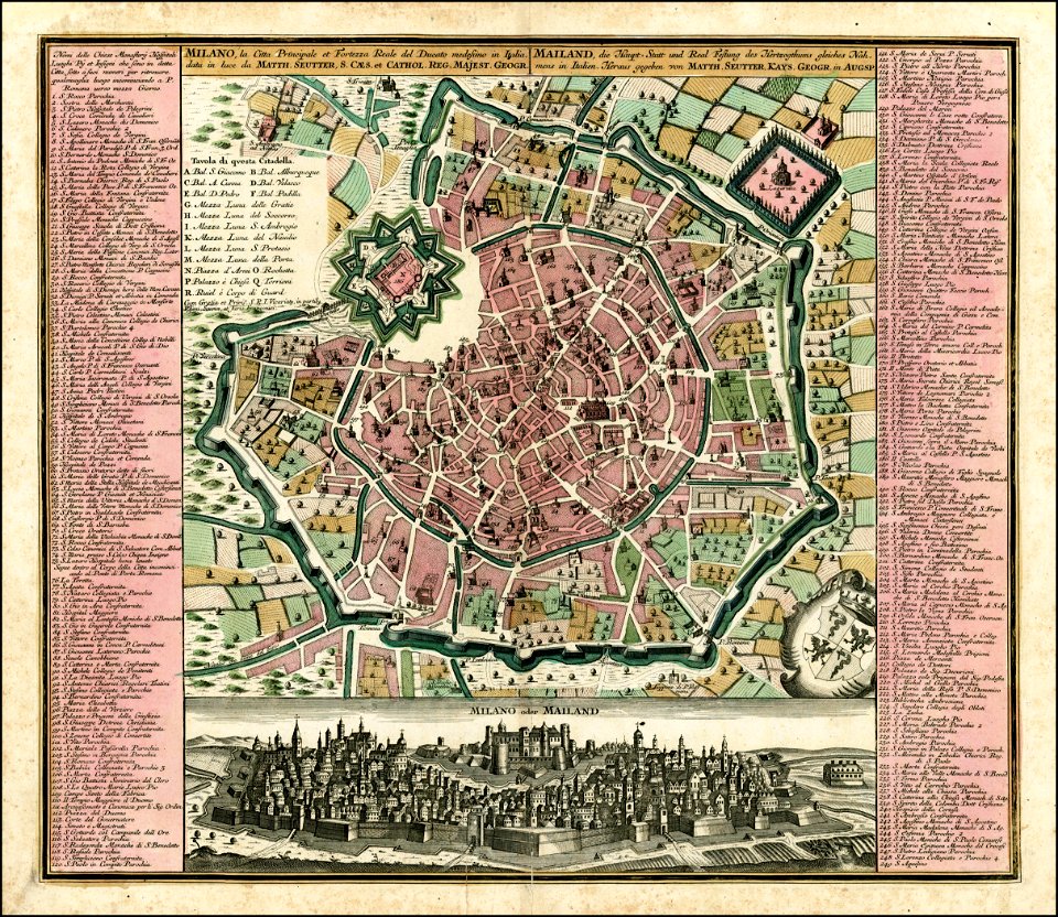
maps by matthäus seutter
old maps of milan
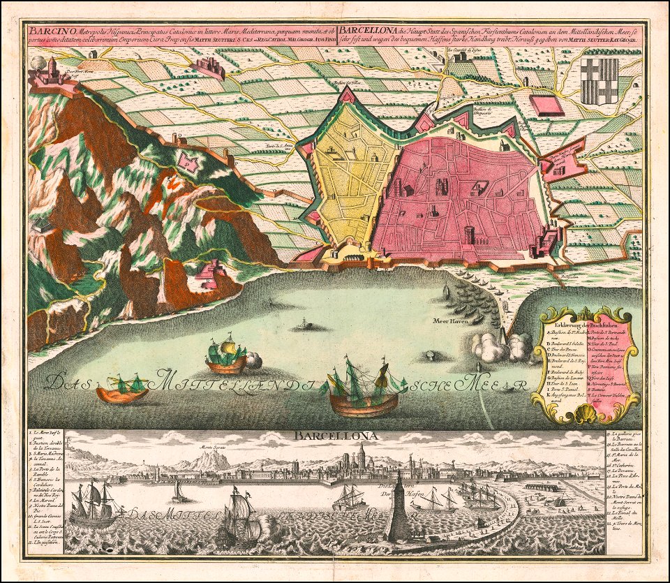
maps by matthäus seutter
old maps of barcelona
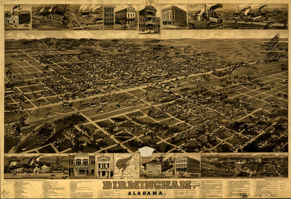
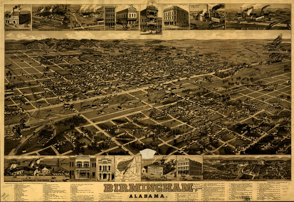
maps in the library of congress
old maps of alabama
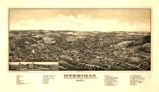
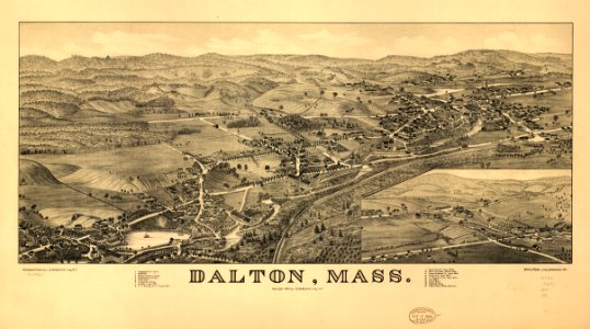
maps in the library of congress
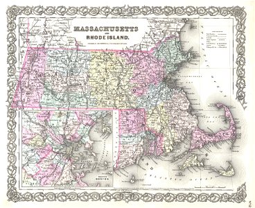
old maps of massachusetts
details of old maps
old map
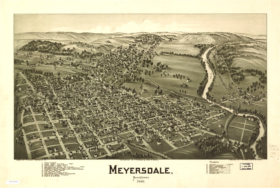
maps in the library of congress
old maps of pennsylvania
maps in the library of congress
old maps of vermont
us states
maps
us states
maps
us states
maps
us states
maps
us states
maps
us states
maps
us states
maps
us states
maps
us states
maps
continent
maps
us states
maps
us states
maps
maps in the library of congress
old maps of massachusetts
maps by matthäus seutter
old maps of madrid
maps in the library of congress
old maps of connecticut
maps in the library of congress
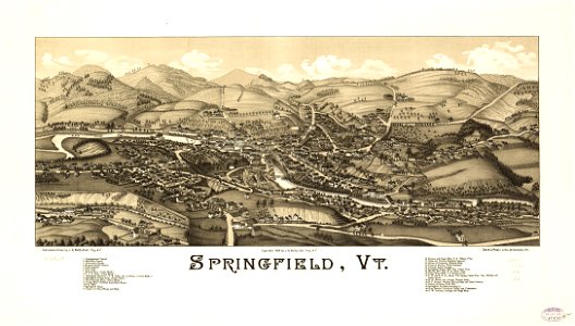
old maps of vermont
maps in the library of congress
old maps of vermont
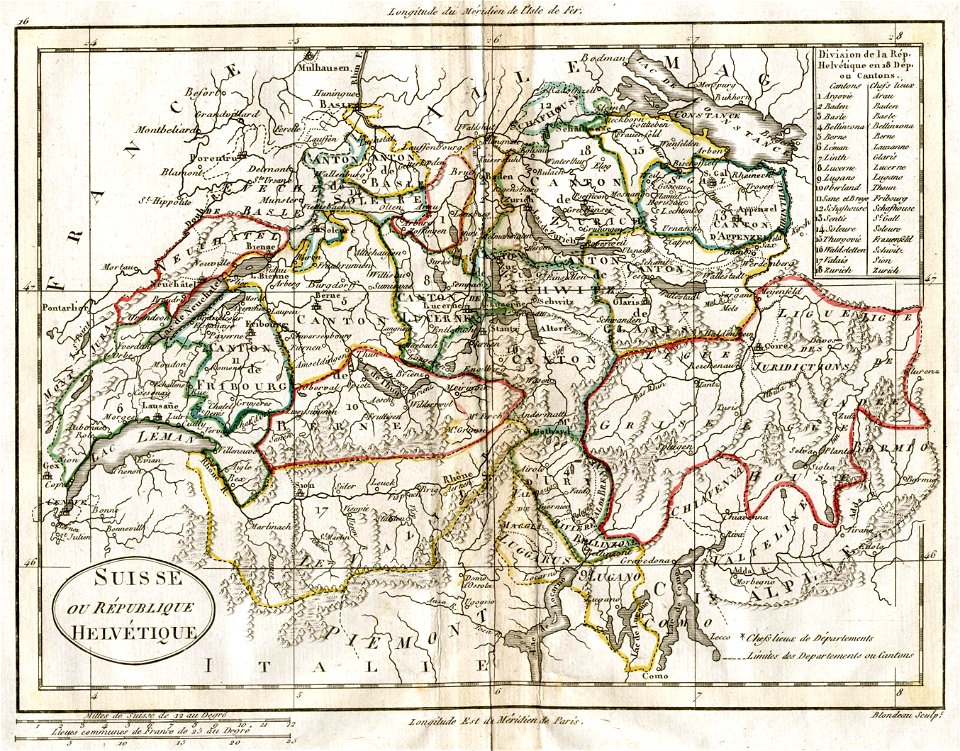
old maps of switzerland
1798 in switzerland
maps in the library of congress
old maps of vermont
maps in the library of congress
old maps of vermont
old maps of livorno
maps by coronelli
description de l'universe
1683 maps of pakistan
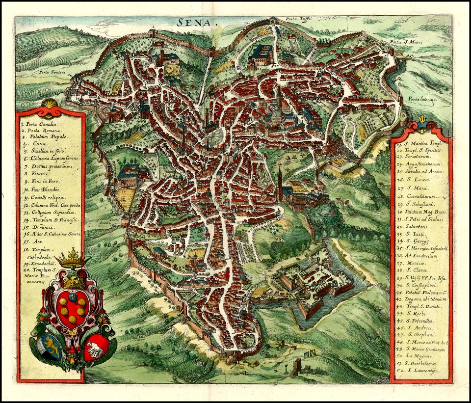
timeline of siena
old maps of siena
maps with cartouches
braun & hogenberg
maps in the library of congress
old maps of alabama
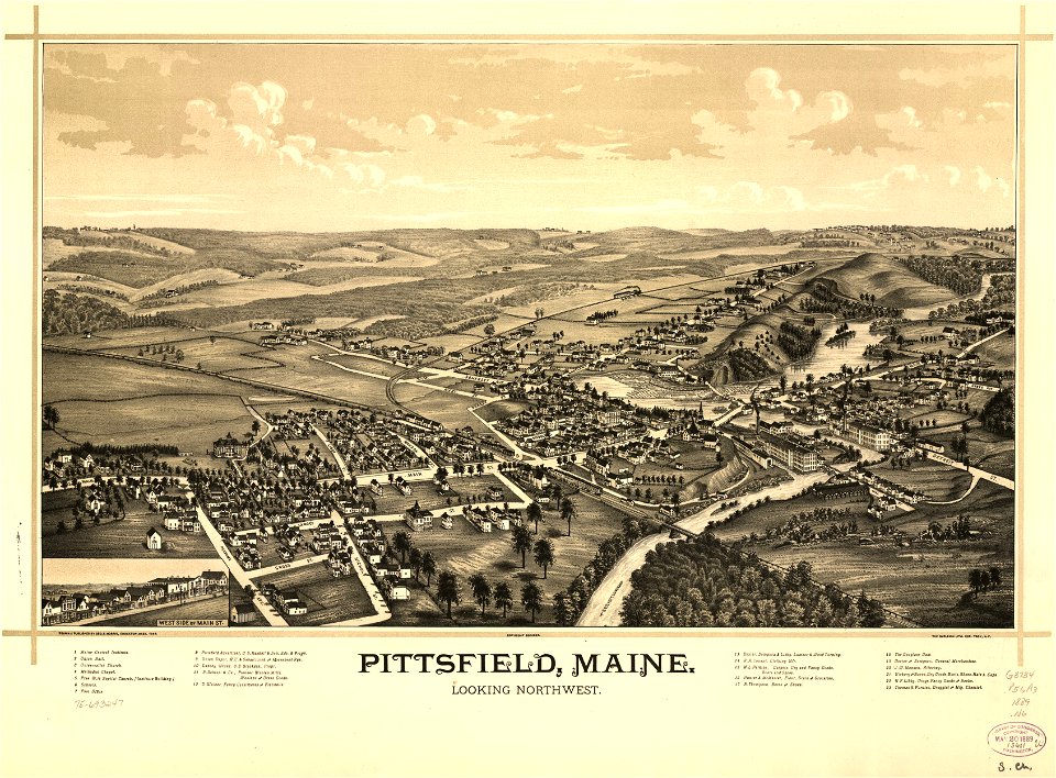
maps in the library of congress
old maps of maine
maps in the library of congress
old maps of maine
theodor de bry
amazon
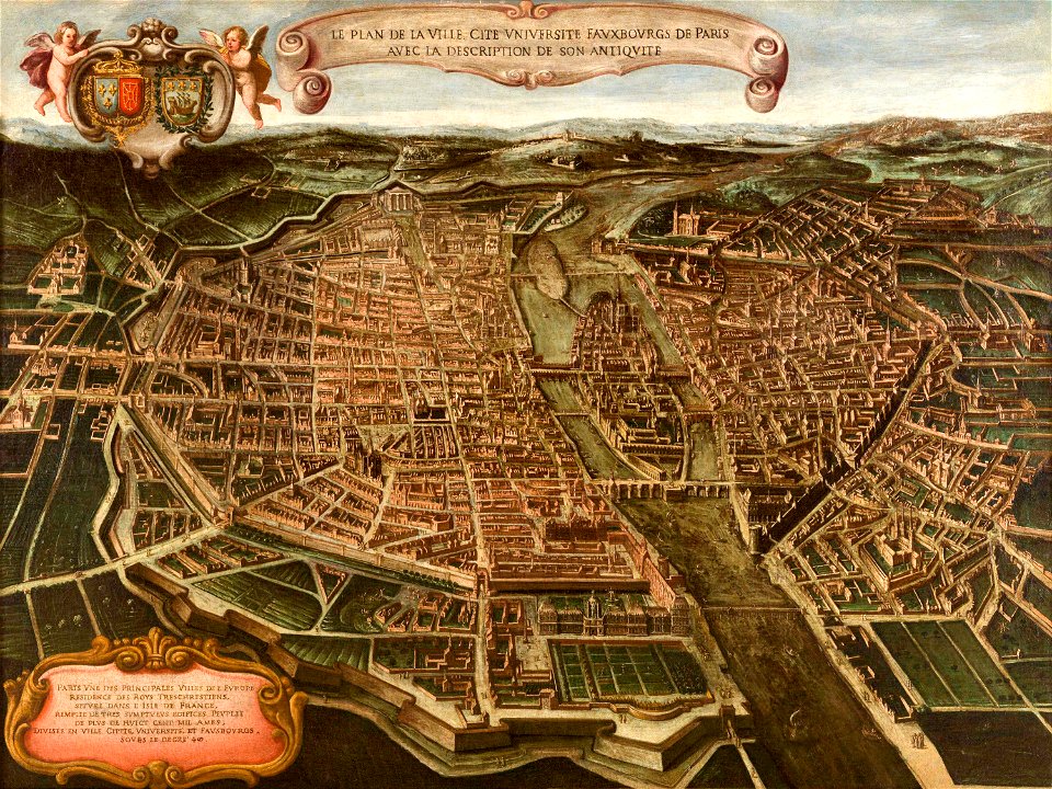
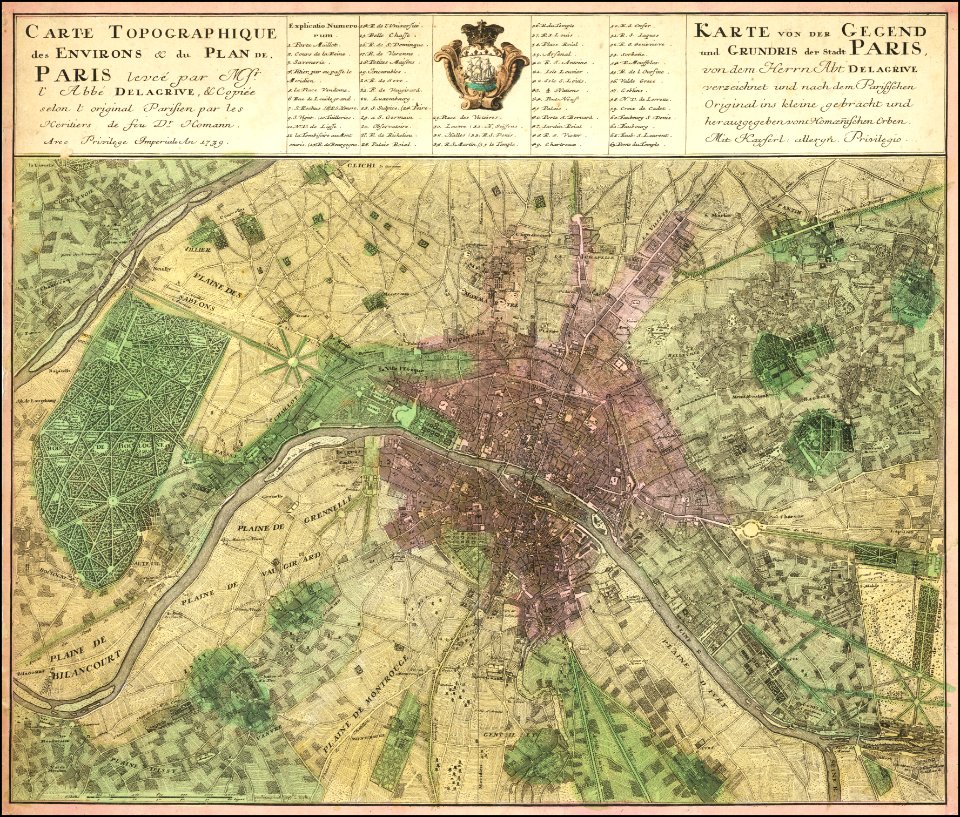
maps of paris from paris musées
paintings in musée carnavalet
maps of paris from the barry lawrence ruderman antique maps inc.
18th-century maps of paris
maps of paris from the barry lawrence ruderman antique maps inc.
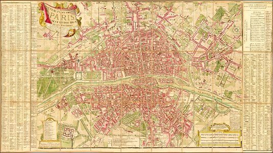
maps by homannsche erben
old maps of manhattan
new york city
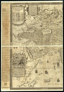
world
maps
maps in the library of congress
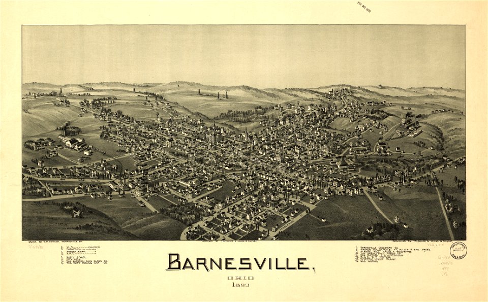
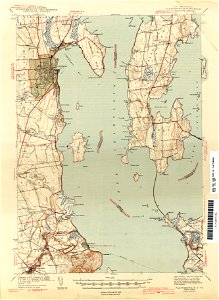
ohio
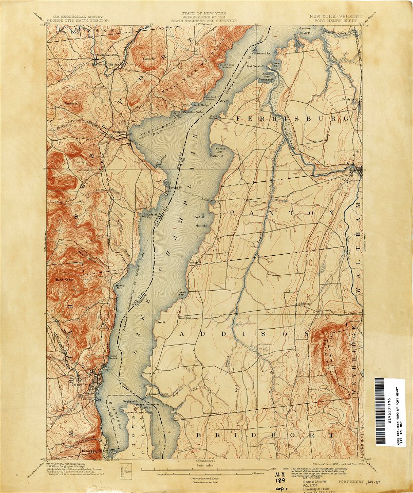
loon lake
new york
old maps of new york (state)
new york
maps in the library of congress
ohio
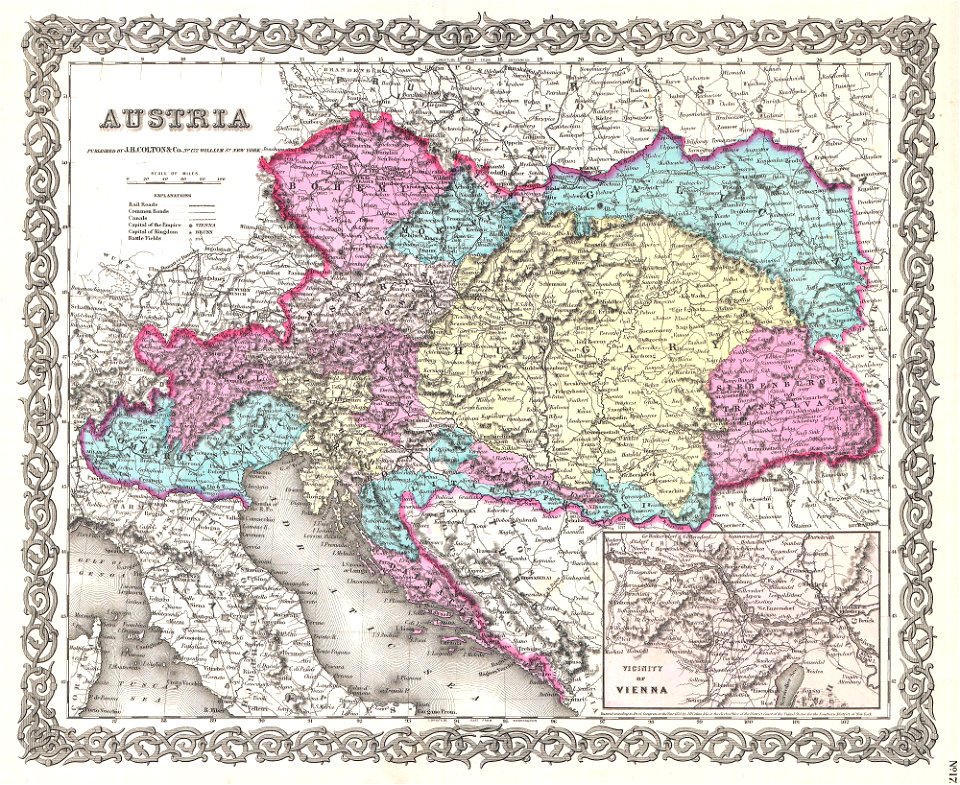
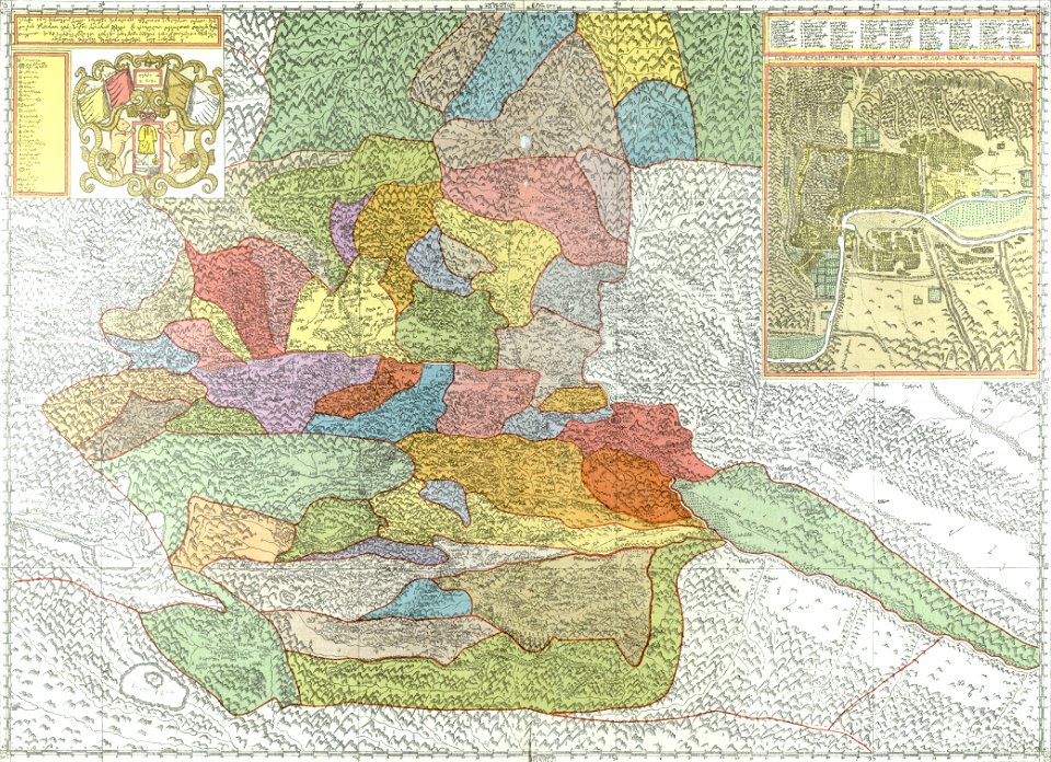
old maps of the austrian empire
1855 maps
19th-century maps of central america
1855 maps
maps by joseph hutchins colton
1855 maps
maps by joseph hutchins colton
1857 in boston
maps in the library of congress
old maps of massachusetts
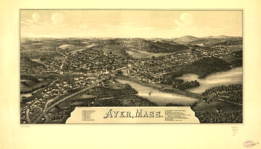
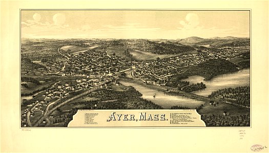
maps of the adirondack mountains
old maps of new york (state)
history of oltenița
ilfov
cosmographia claudii ptolomaei alexandrini
latin-language maps
jefferson
ohio
estate maps in the national library of wales
estate maps
description of kingdom of georgia
its habits and canons
maps in the library of congress
illinois
maps in the library of congress
old maps of massachusetts
maps in the library of congress
old maps of massachusetts
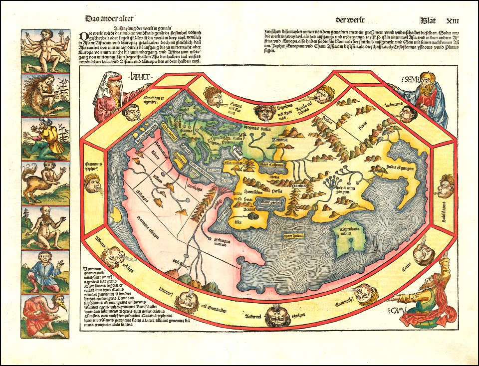
1490s maps of the world
hartmann schedel
maps in the library of congress
old maps of pennsylvania
maps in the library of congress
old maps of vermont
maps in the library of congress
old maps of massachusetts
3901 - 4000 of 357,549
Next page
/ 3576