Log in
All resources
Create a design
Tools
357,565 Free Images of Maps
pages with maps
cc-zero
quality images
quality images by jebulon
quality images missing sdc depicts
maps in the library of congress
architecture
base mérimée
cultural heritage monuments in france with known ids
mérimée with pa parameter
military
aircraft
architecture
facade
reptiles
animals
self-published work
pages with maps
travel
boat
self-published work
pages with maps
self-published work
pages with maps
fishermen from isla margarita
boats in margarita island
village
travel
self-published work
architecture
self-published work
pages with maps
maps in the library of congress
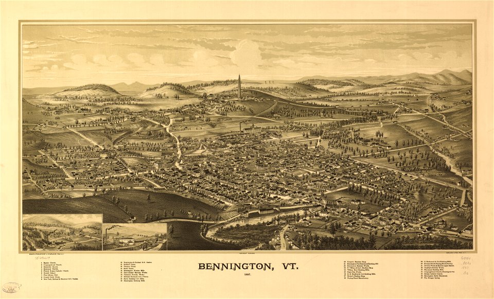
vermont
maps made in the 18th century
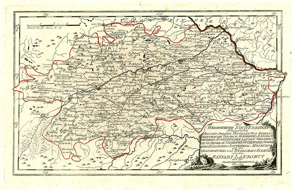
maps of lower bavaria
maps in the library of congress
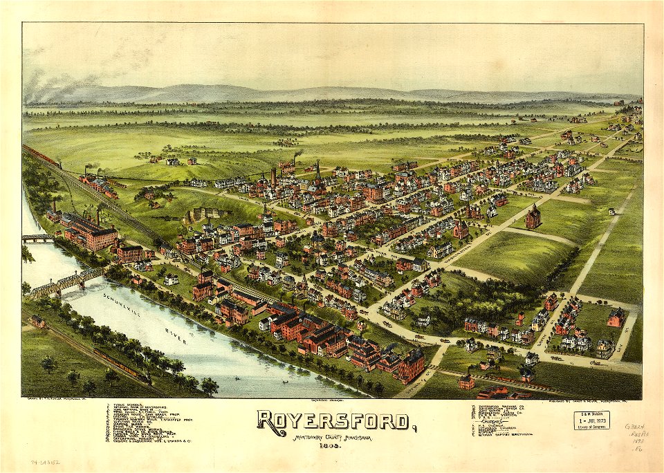
pennsylvania
maps made in the 16th century
ignazio danti
old maps of neuwerk
dieksand
maps in the library of congress
mississippi
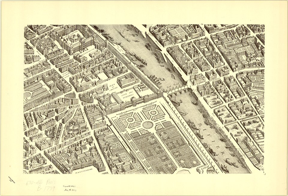
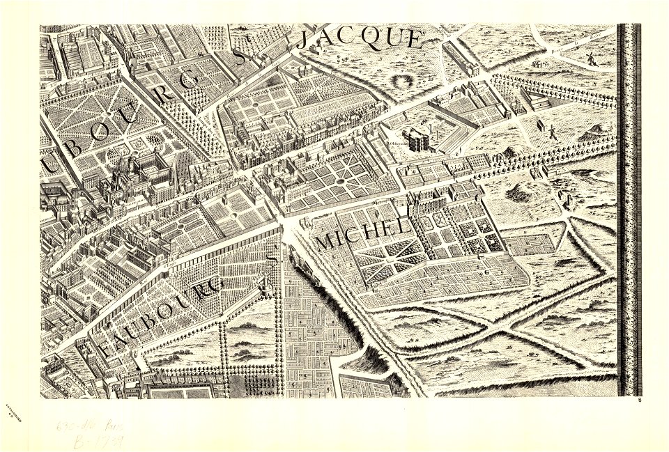
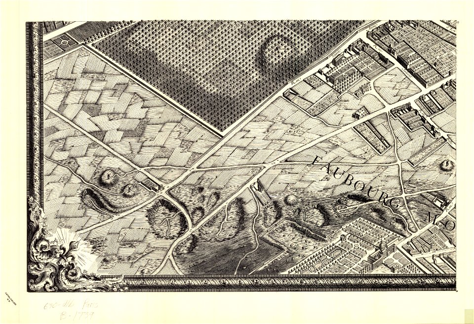
sheet 15 of the turgot map of paris
turgot map of paris
university of wisconsin-milwaukee libraries
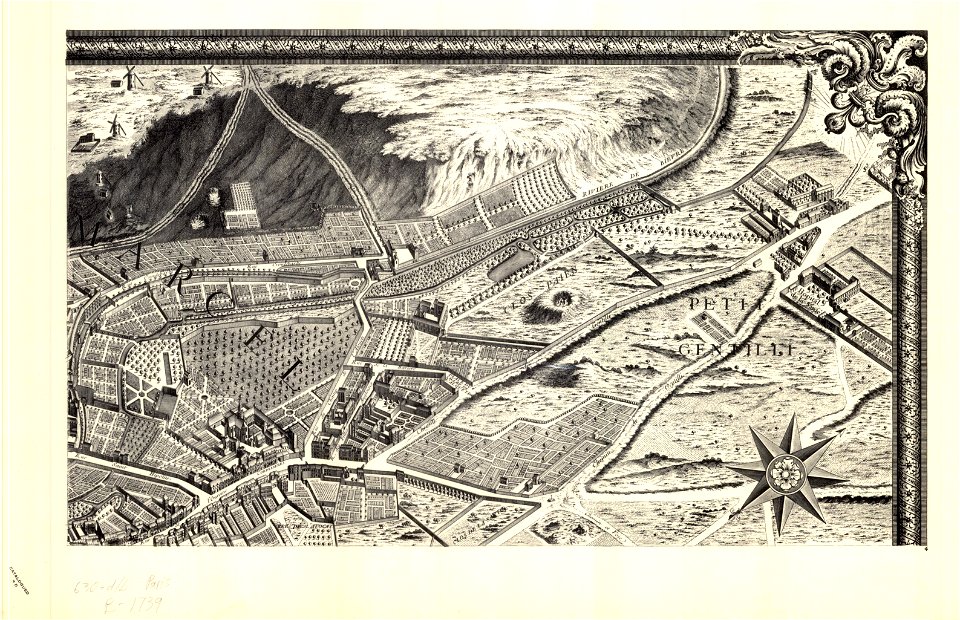
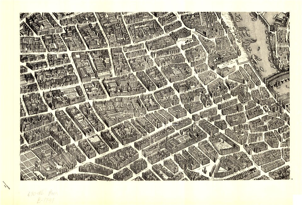
turgot map of paris
university of wisconsin-milwaukee libraries
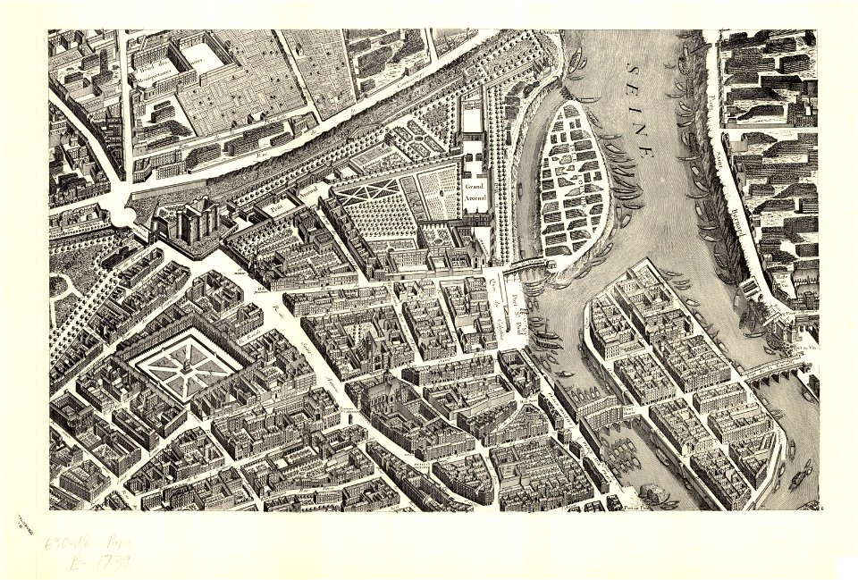
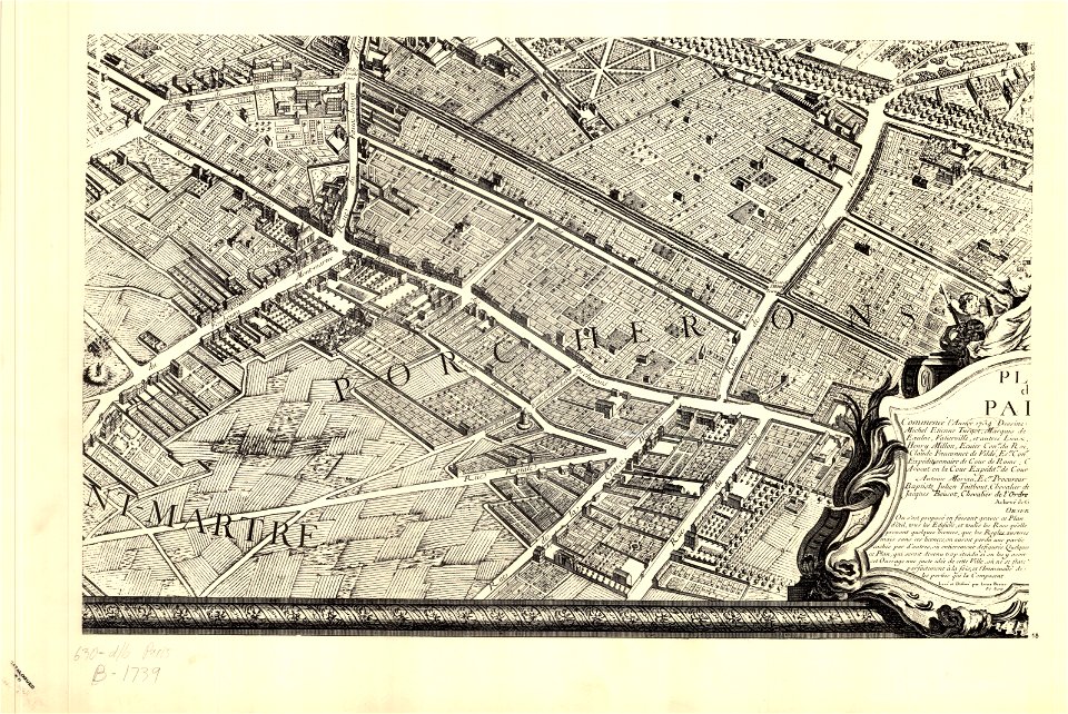
turgot map of paris
university of wisconsin-milwaukee libraries
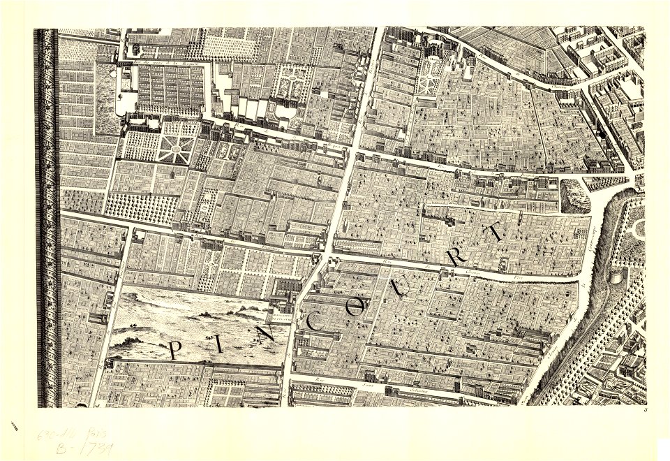
turgot map of paris
university of wisconsin-milwaukee libraries
turgot map of paris
university of wisconsin-milwaukee libraries
turgot map of paris
university of wisconsin-milwaukee libraries
turgot map of paris
university of wisconsin-milwaukee libraries
turgot map of paris
university of wisconsin-milwaukee libraries
turgot map of paris
maps in the library of congress
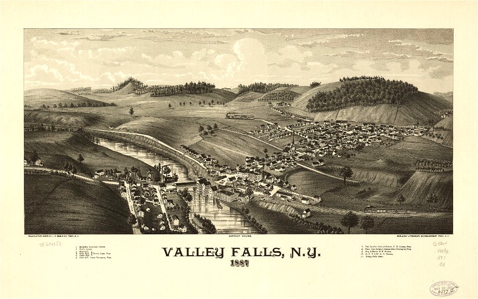
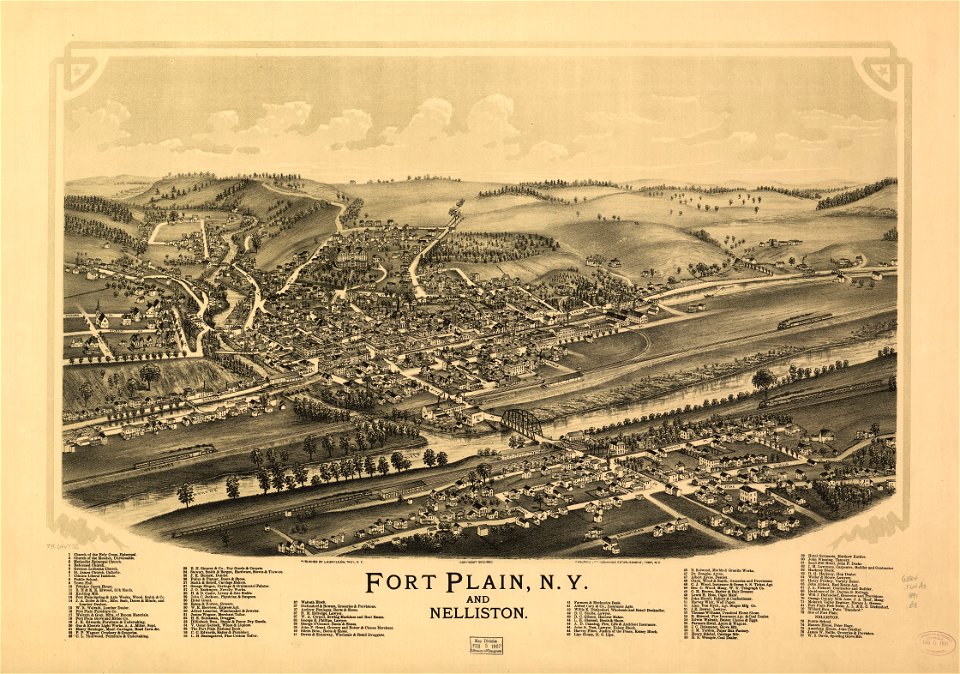
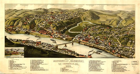
town maps by l. r. burleigh
old maps of tuscany
codex windsor
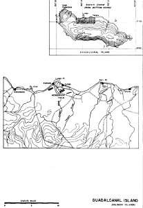
henderson field (guadalcanal)
solomon islands
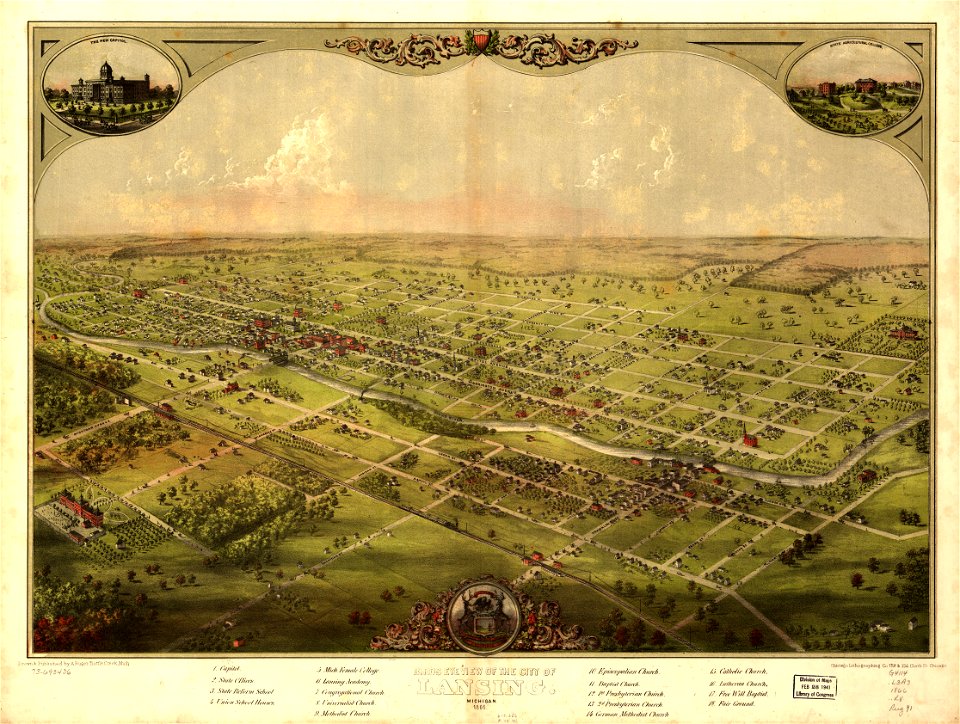
maps in the library of congress
vermont
wagner & debes
1914 in berlin
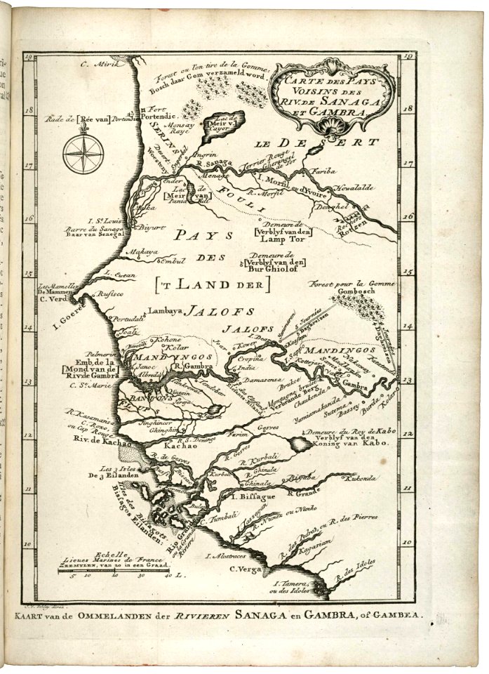
maps of the west-indische compagnie
1747)
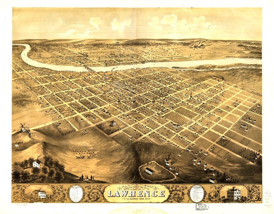
maps in the library of congress
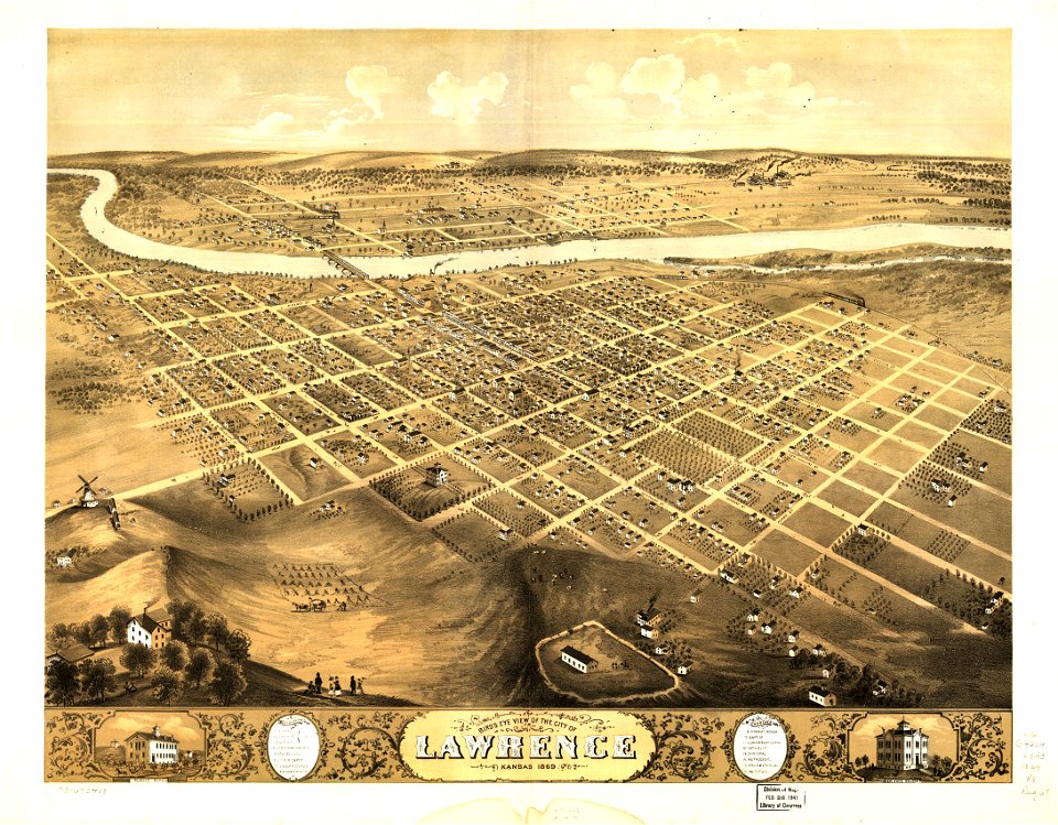
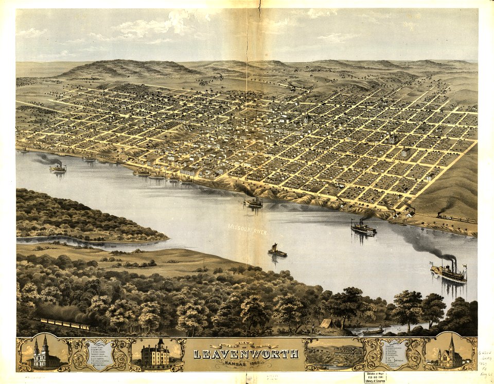
albert ruger
maps in the library of congress
old maps of new mexico
maps in the library of congress
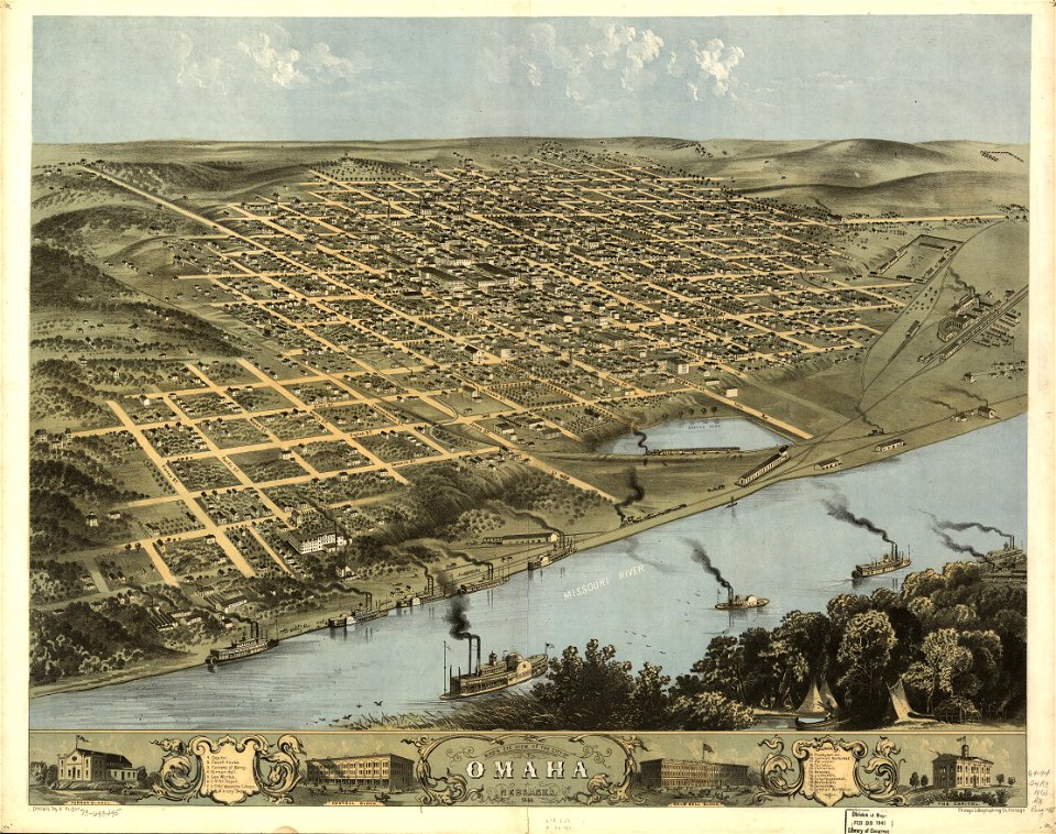
albert ruger
maps in the library of congress
albert ruger
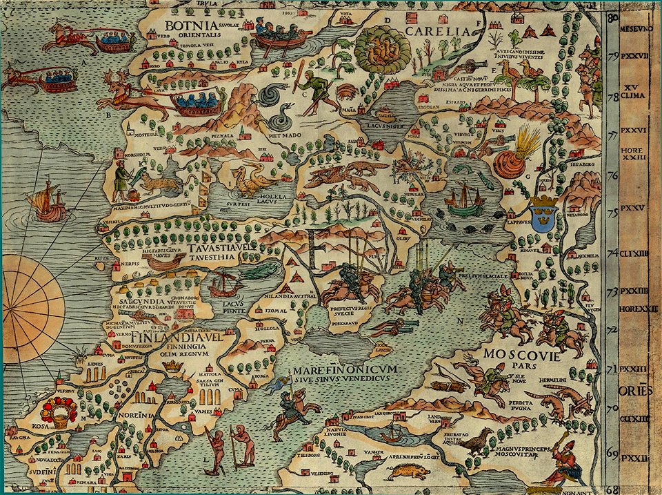
carta marina (details)
maps of vyborg
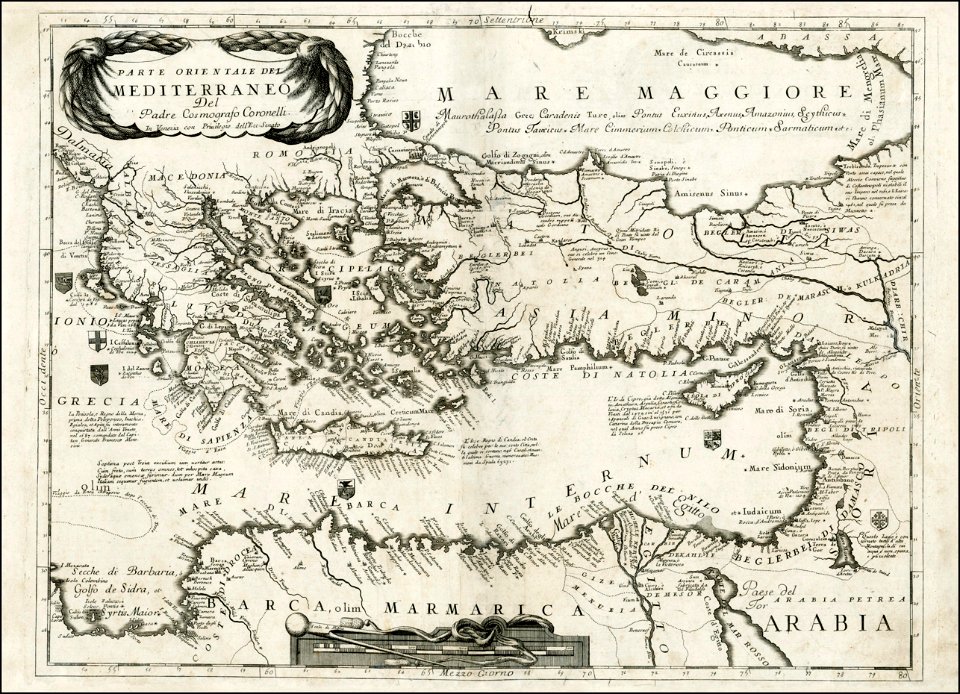
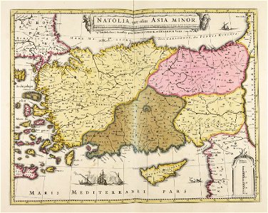
old maps of turkey
1686 maps
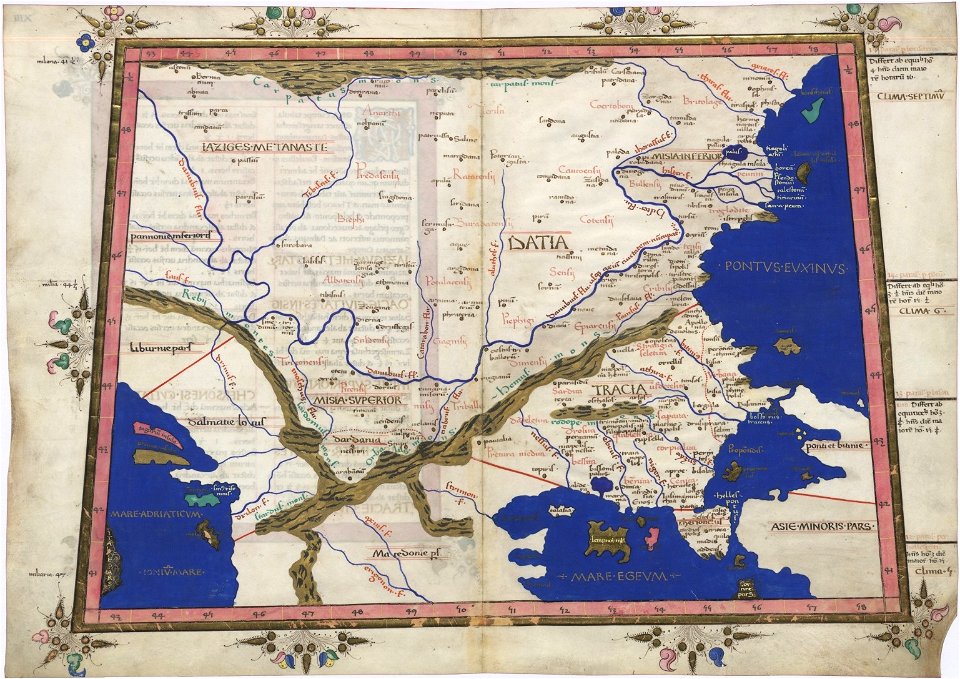
cosmographia claudii ptolomaei alexandrini
latin-language maps
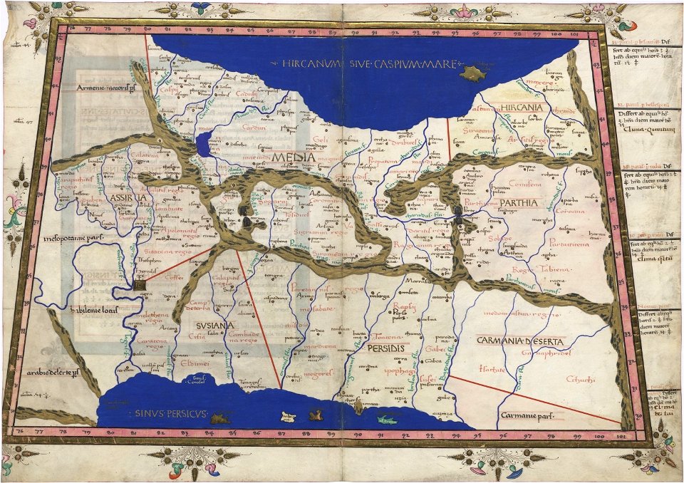
cosmographia claudii ptolomaei alexandrini
latin-language maps
cosmographia claudii ptolomaei alexandrini
latin-language maps
braun & hogenberg
frans hogenberg
self-published work
pages with maps
architecture
marble bust
self-published work
putty
self-published work
architecture
nature
plants
self-published work
gold
landscape
travel
self-published work
architecture
june 2015 in paris
architecture
self-published work
château de beynac
travel
city
architecture
town
self-published work
city
wooden doors in paris
metal
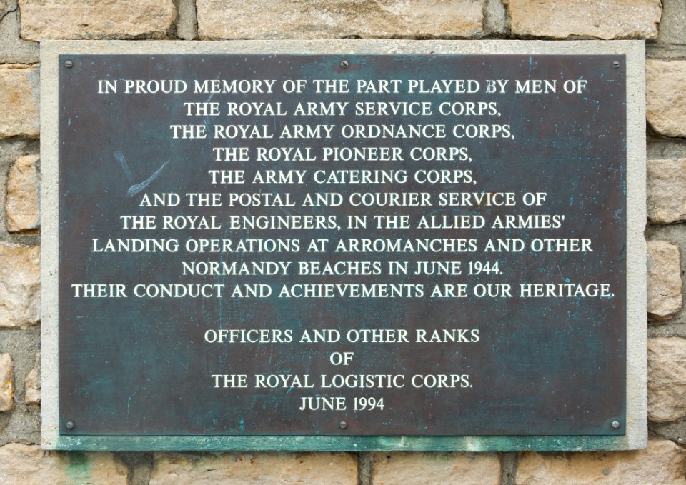
arromanches-les-bains
royal engineers
vehicle
car
spring
plants
july 2014 in the province of granada
architecture
city
gold
military
vehicle
charles le brun
gold
wooden doors in paris
metal
self-published work
architecture
château de beynac
architecture
château de beynac
architecture
self-published work
pages with maps
architecture
facade
the alhambra photographed in 2012
self-published work
crucifixion of christ
self-published work
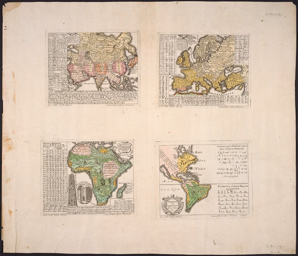
latin-language maps
1725 maps
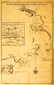
old maps of guangzhou
lantau island
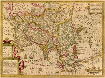
17th-century maps of china
cathay
countries
maps
maps made in the 17th century
gerard valck
maps in the rijksmuseum amsterdam
sloten (amsterdam)
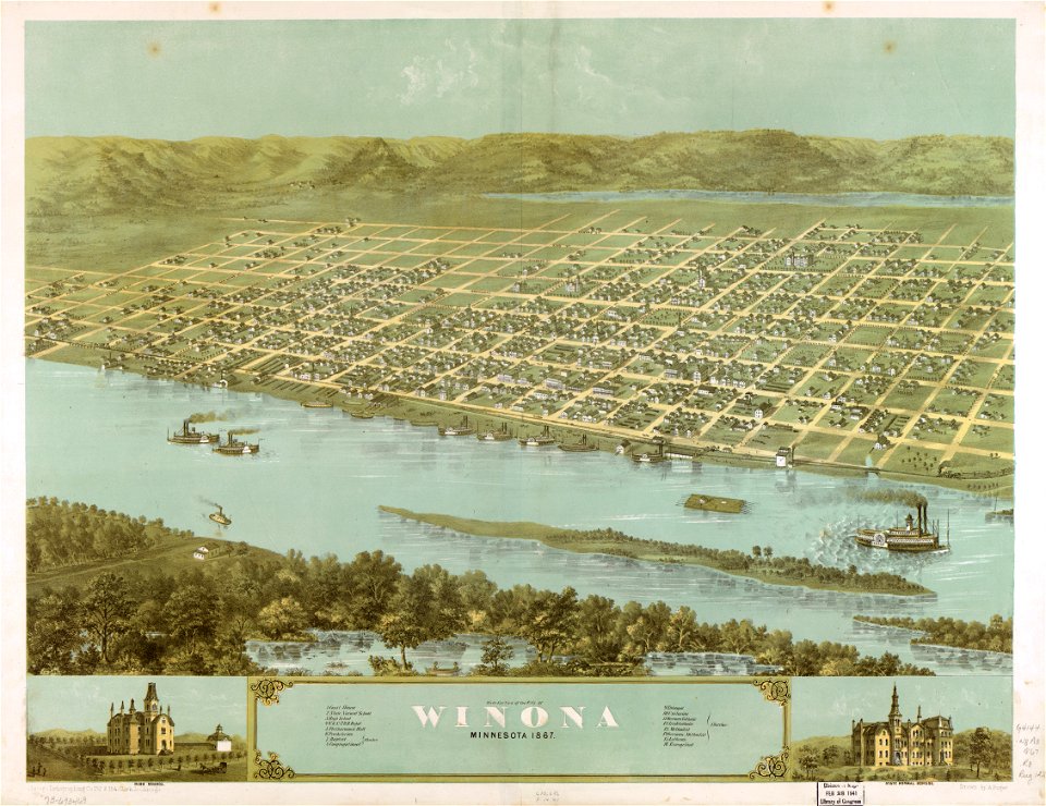
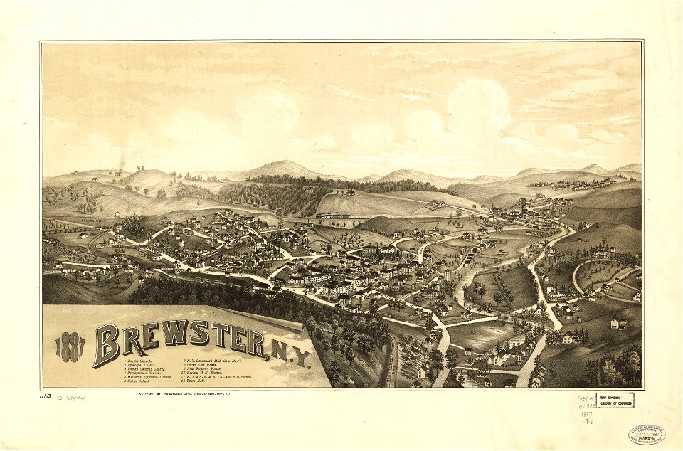
maps in the library of congress
new york
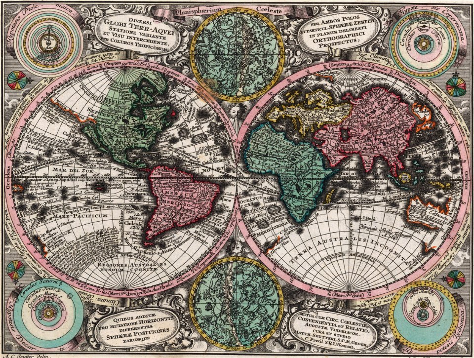
double hemisphere world maps
color engravings
cornell: persuasive cartography: the pj mode collection
cornell university library
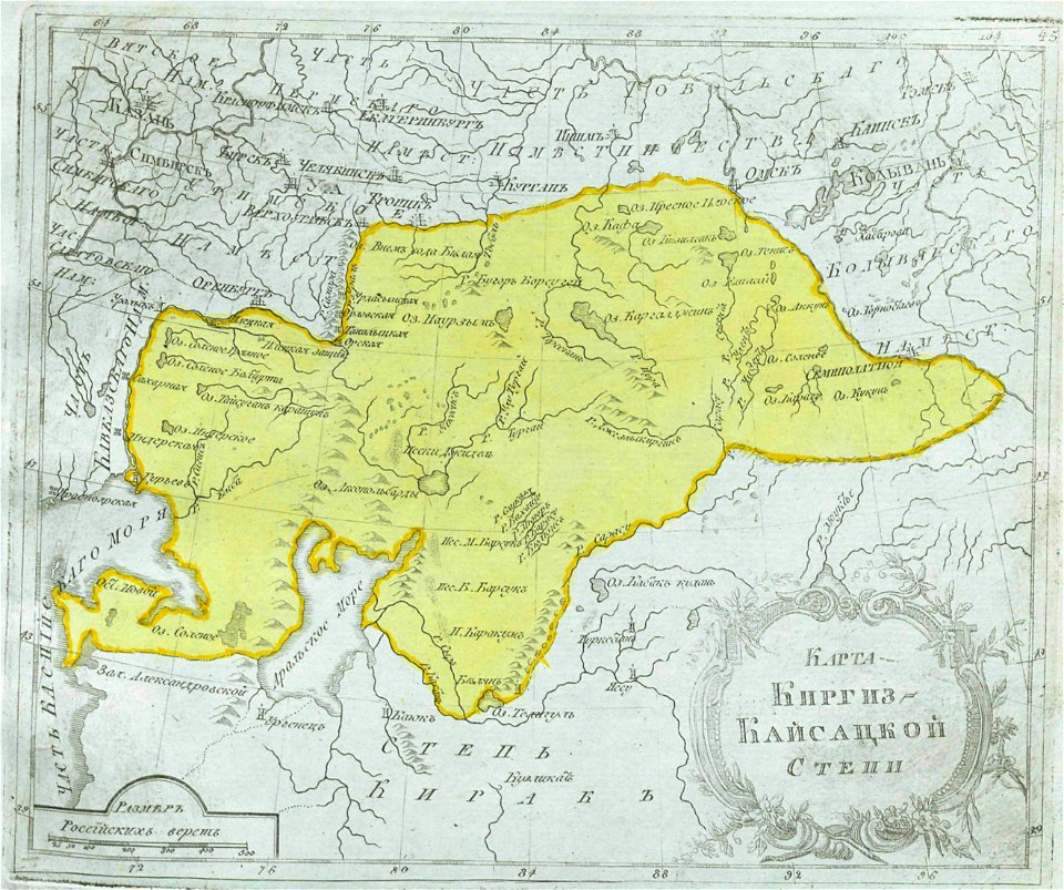
maps of central asia
maps of kazakhstan
atlantis magni tomus secundus (biblioteca comunale di trento)
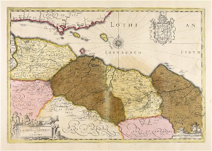
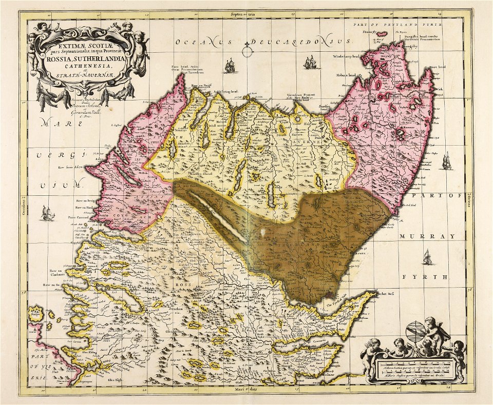
old maps of lothian
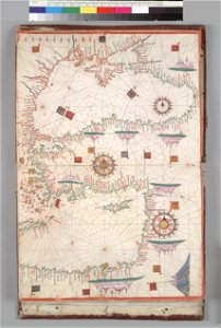
16th-century maps of the black sea
coats of arms on maps
david rumsey historical map collection
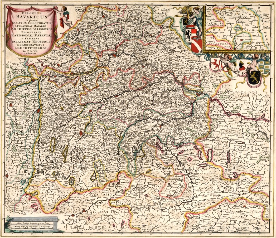
maps by frederick de wit
maps made in the 17th century
gerard valck
maps from the mechanical curator collection
old maps of prussia
maps made in the 17th century
gerard valck
maps made in the 17th century
gerard valck
africa
maps
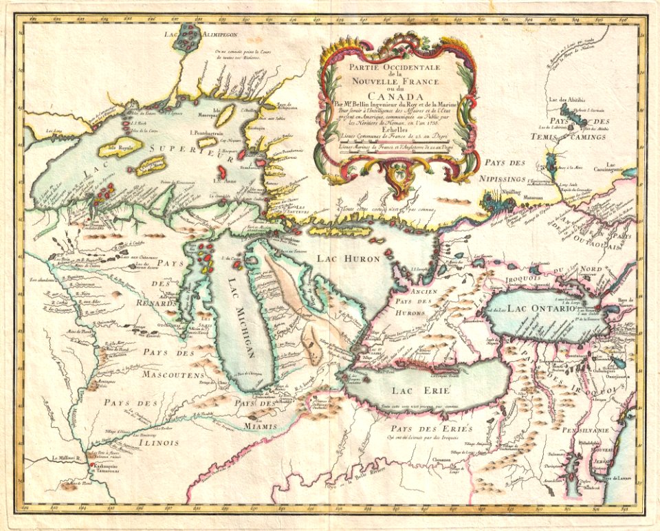
iroquois
ontario
maps in the library of congress
albert ruger
maps in the library of congress
albert ruger
maps in the library of congress
old maps of pennsylvania
maps in the library of congress
albert ruger
maps in the library of congress
albert ruger
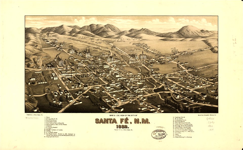
maps in the library of congress
old maps of new mexico
maps in the library of congress
1908 maps
maps in the library of congress
1867 maps
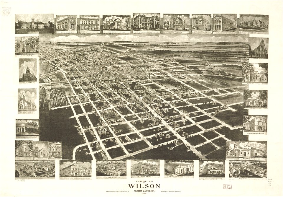
new york
brewster
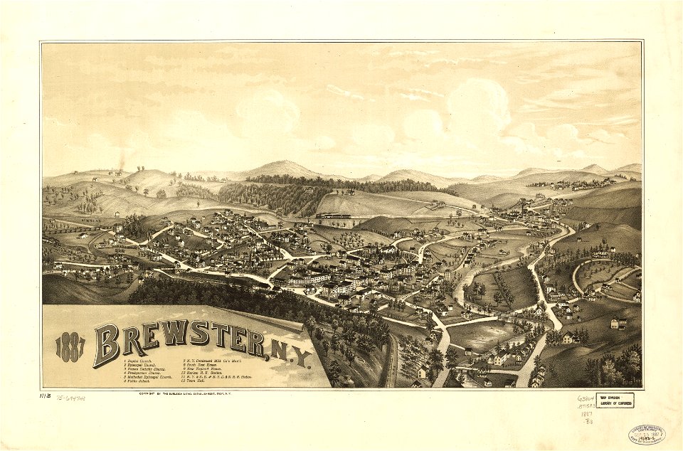
new york
brewster
5501 - 5600 of 357,565
Next page
/ 3576