Log in
All resources
Create a design
Tools
357,565 Free Images of Maps
pages with maps
cc-zero
quality images
quality images missing sdc depicts
quality images by jebulon
maps in the library of congress
architecture
quality images by wilfredor
images of venezuela by user:wilfredor
taken with nikon d300
juan griego pier
boat
vehicle
water
architecture
light
self-published work
pages with maps
travel
water
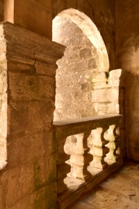
architecture
interior
street scene
people
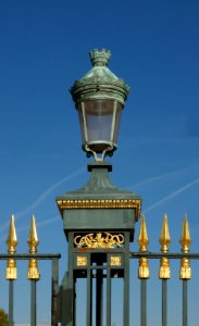
laurel wreaths in art
circle
city
gold
self-published work
belt
skyline
travel
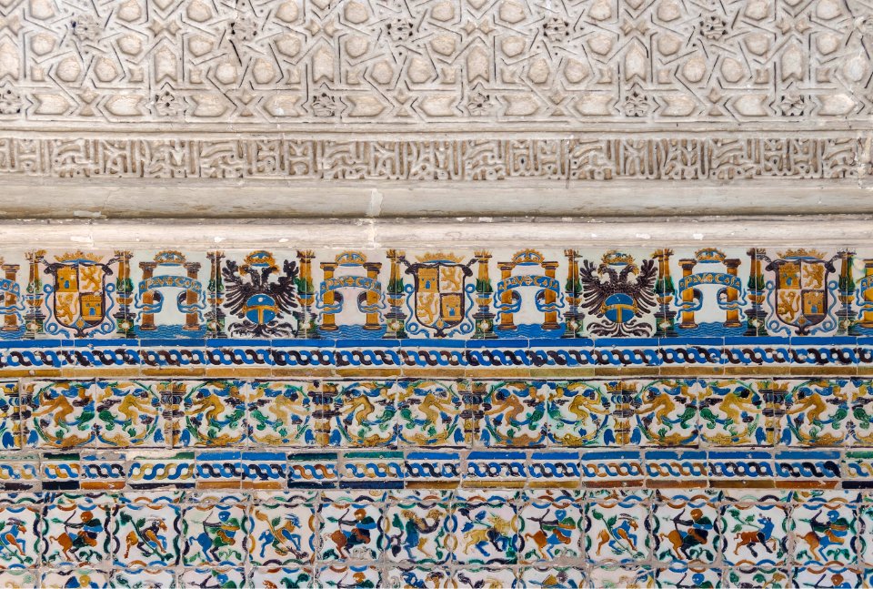
july 2014 in andalusia
alhama de granada
architecture
facade
architecture
fire station
2012 in andalusia
architecture
vehicle
car
people of maracaibo
people
geometric shape
patterns
sidewalk
people
objects with black background
diamond jewellery
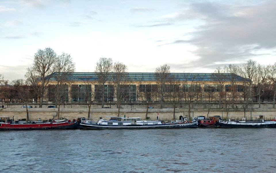
water
boat
architecture
city
gold
blue
self-published work
pages with maps
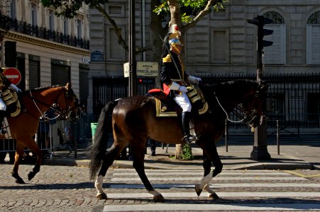
battle of friedland
walking horse
château de beynac
architecture
architecture
travel
château de beynac
architecture
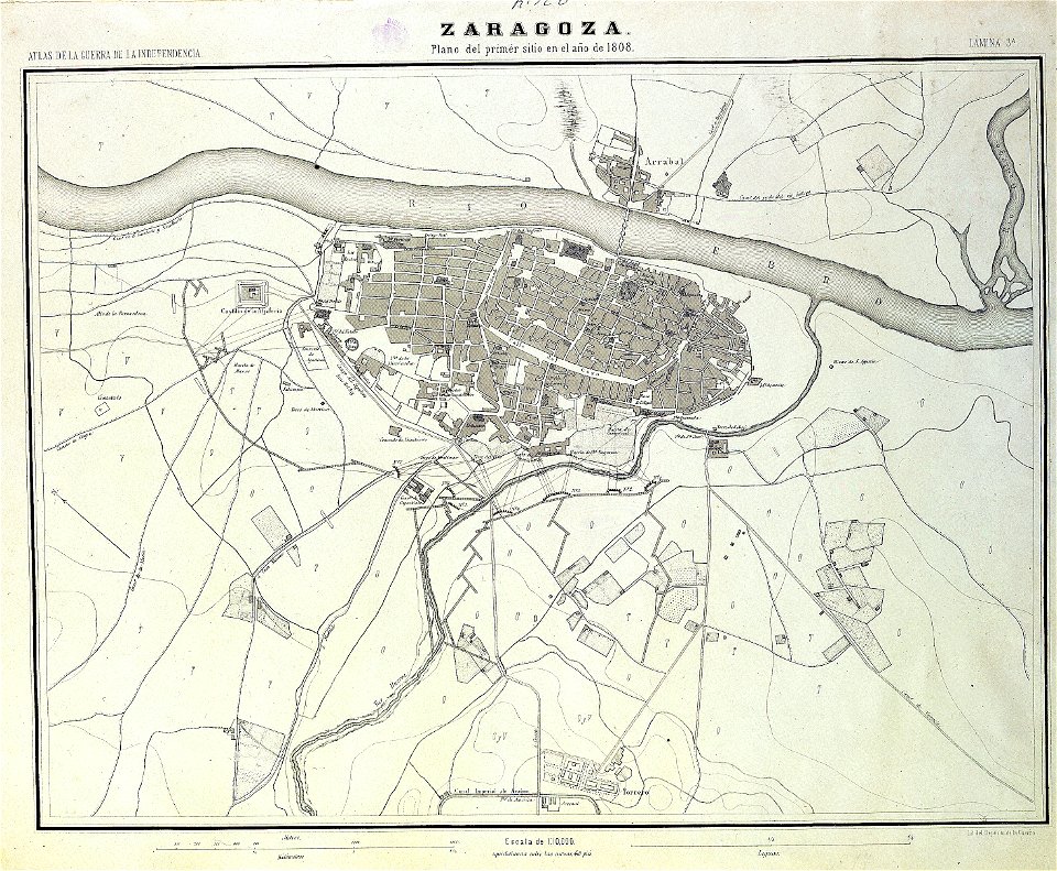
sitio de zaragoza (1808)
1868
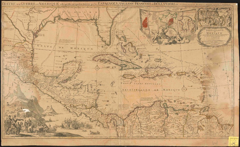
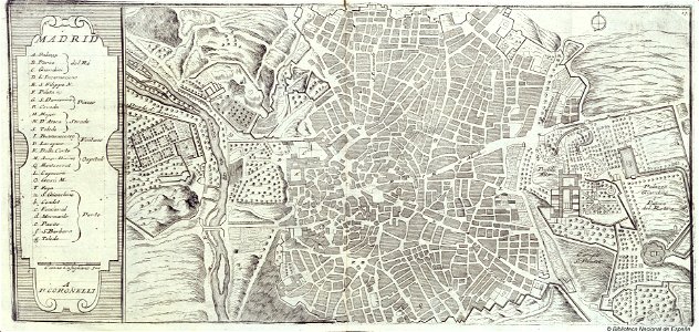
old maps of mexico
covens en mortier
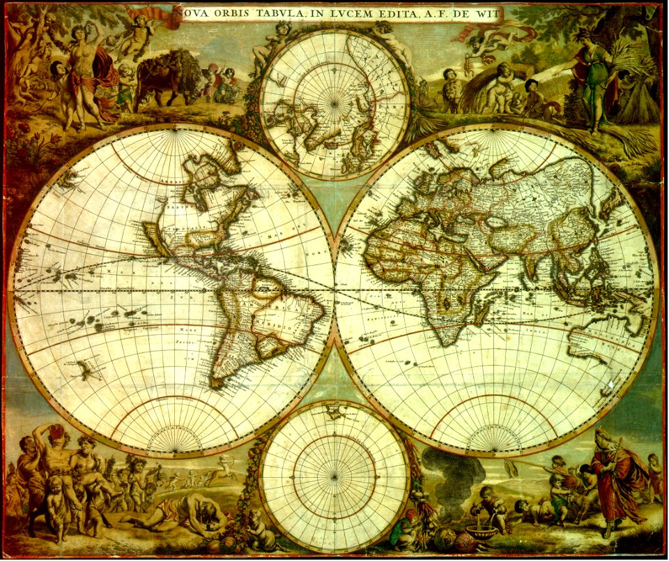
maps by frederick de wit
1662
hatched coats of arms
atlantic ocean
johann baptist homann
latin-language maps
quartier de l'arsenal
lithographs of paris
caricatures of wilhelm ii of germany
cornell university library
symbols for hydrogeological maps
self-published work
maps
flag
geography
maps
maps
flag
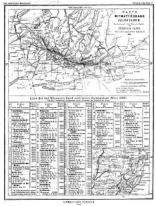
old maps of georgia (u.s. state)
maps in the library of congress
university of wisconsin-milwaukee libraries
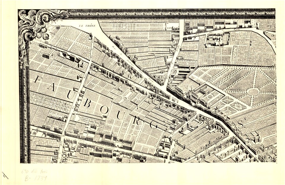
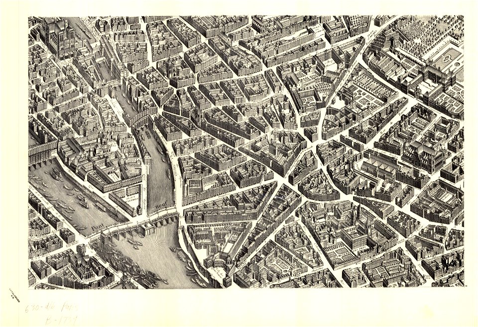
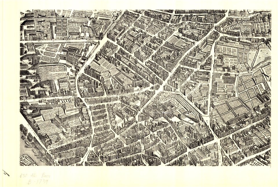
turgot map of paris
sheet 11 of the turgot map of paris
turgot map of paris
university of wisconsin-milwaukee libraries
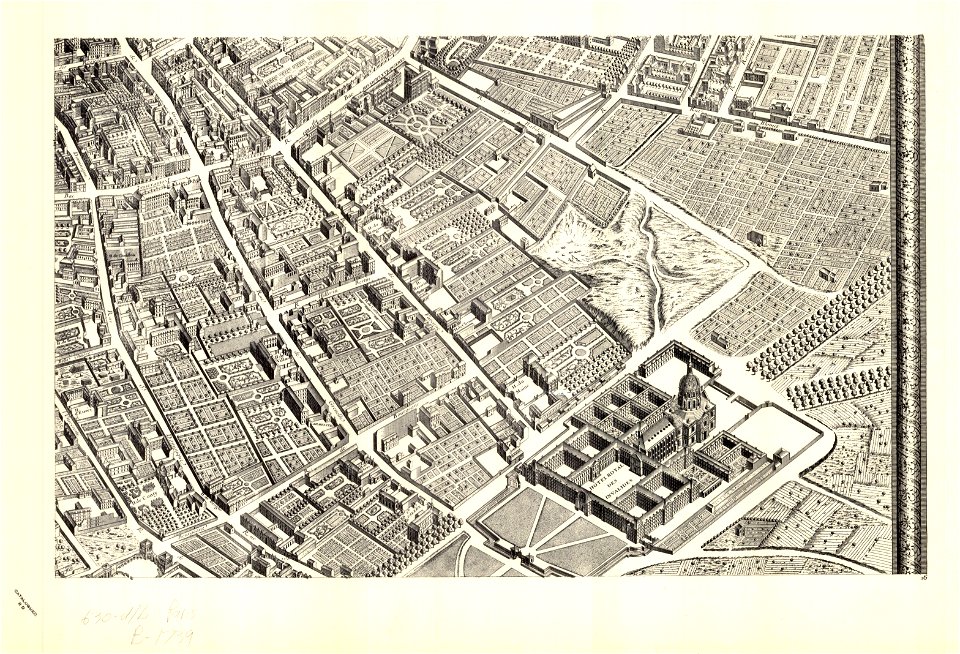
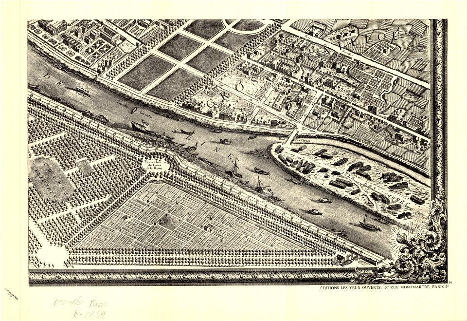
turgot map of paris
la madeleine
paris
university of wisconsin-milwaukee libraries
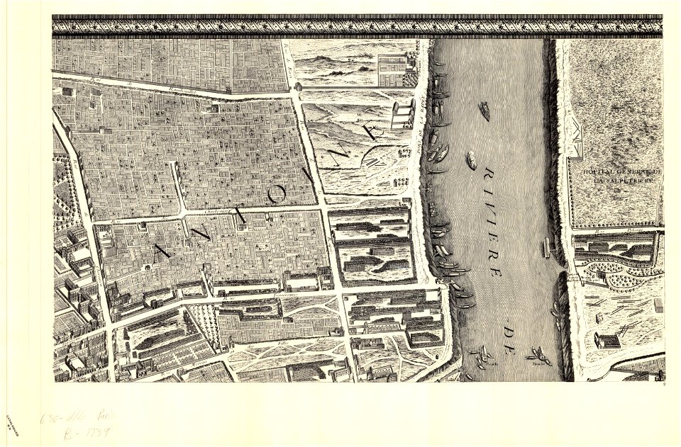
turgot map of paris
university of wisconsin-milwaukee libraries
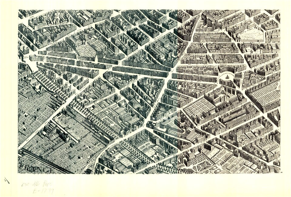
turgot map of paris
university of wisconsin-milwaukee libraries
turgot map of paris
university of wisconsin-milwaukee libraries
turgot map of paris
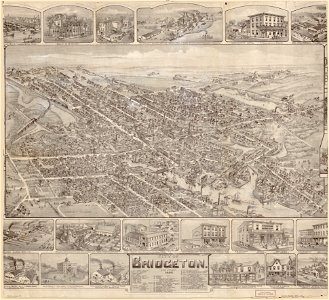
maps in the library of congress
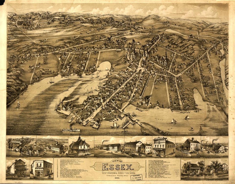
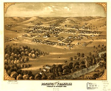
o. h. bailey
randolph
vermont
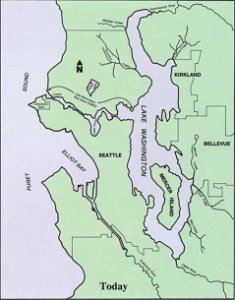
drainage basin maps of north america
lake washington ship canal
new york
rome
david rumsey historical map collection
jr
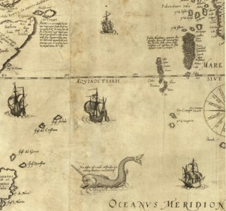
old maps of the indian ocean
ships on maps
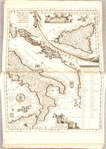
old maps of sicily
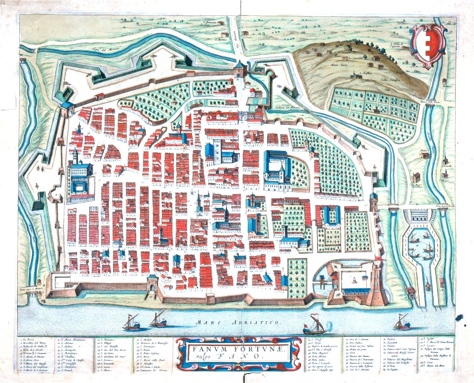
old maps of italy
maps of the dutch east india company - korea
1749
tennessee
virginia
gold mines in south africa
old maps of johannesburg
maps in the biblioteca federiciana
maps by willem and johannes blaeu
maps in the library of congress
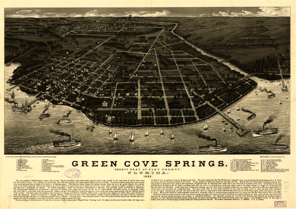
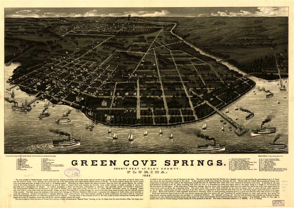
old maps of florida
maps in the library of congress
old maps of florida
joseph james forrester
port wine
frans hogenberg
pictorial maps
maps by coronelli
1700 maps
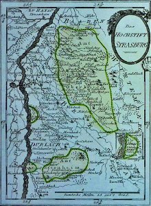
maps of strasbourg in the 17th century
18th-century maps of strasbourg
18th-century maps of berlin
moll's map collection
maps from the mechanical curator collection
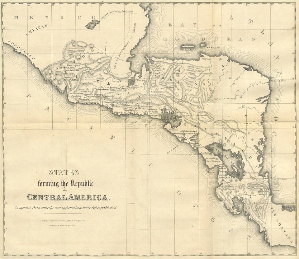
19th-century maps of central america
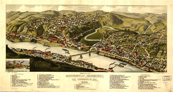
maps in the library of congress
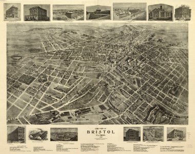
albert ruger
maps in the library of congress
old maps of pennsylvania
maps in the library of congress
albert ruger
maps in the library of congress
1867 maps
maps in the library of congress
1881 maps
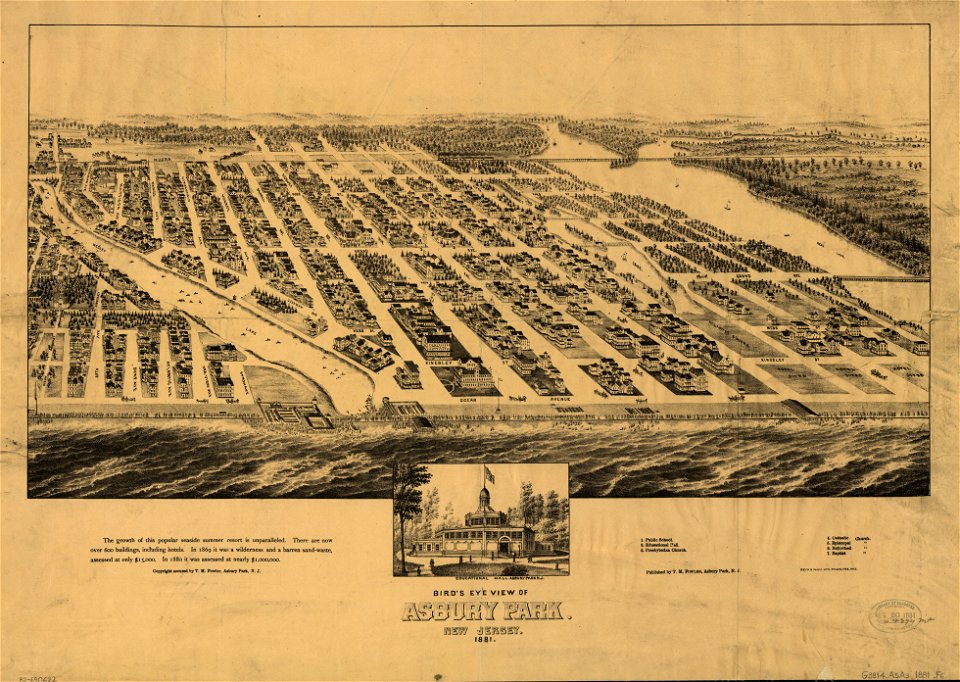
maps in the library of congress
1881 maps
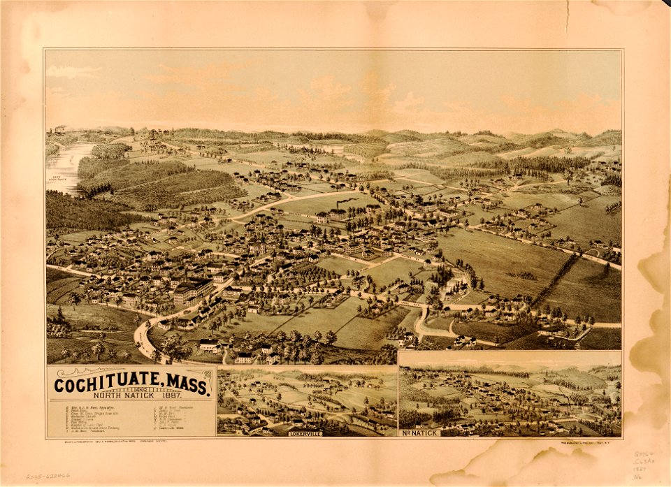
massachusetts
natick
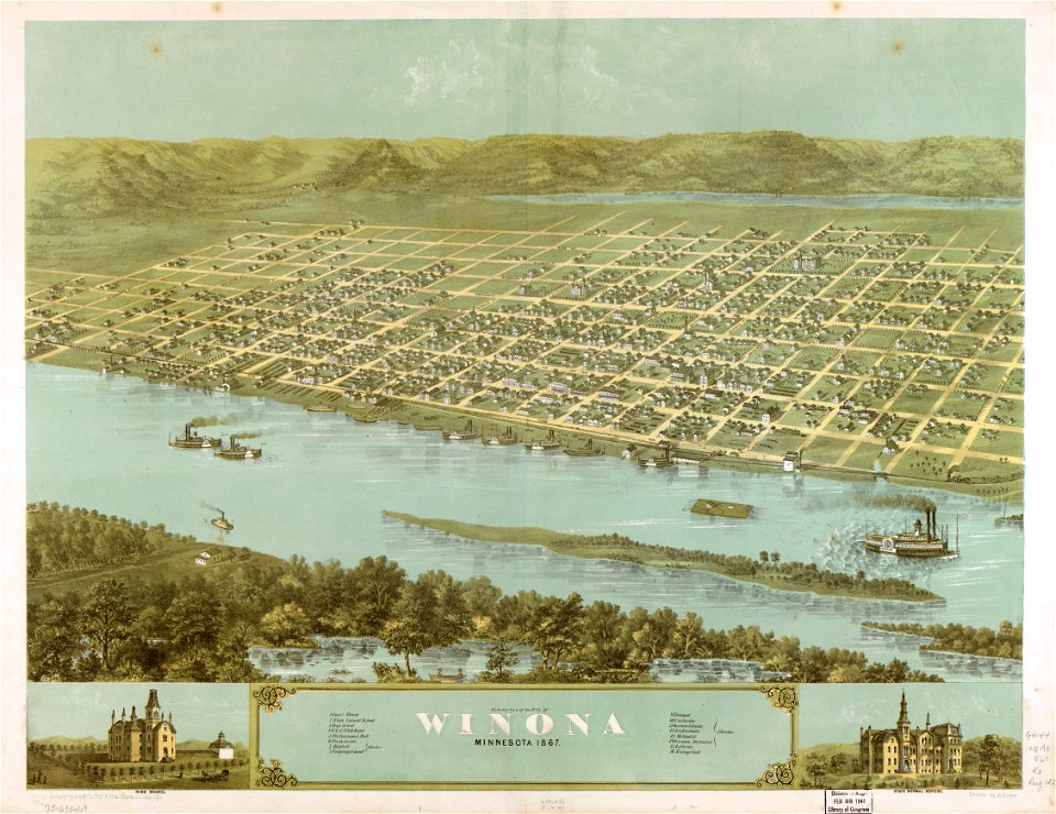
maps in the library of congress
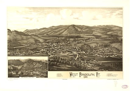
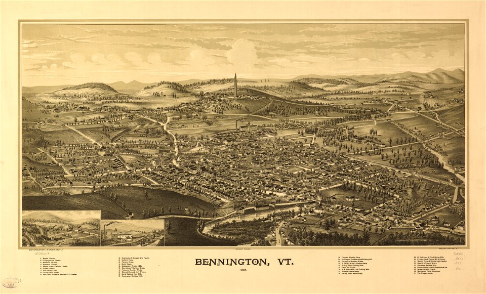
o. h. bailey
maps in the library of congress
o. h. bailey
maps in the library of congress
vermont
o. h. bailey
1894 maps
maps in the library of congress
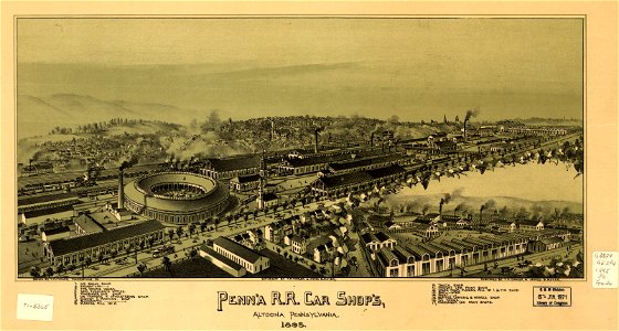
old maps of pennsylvania
maps in the library of congress
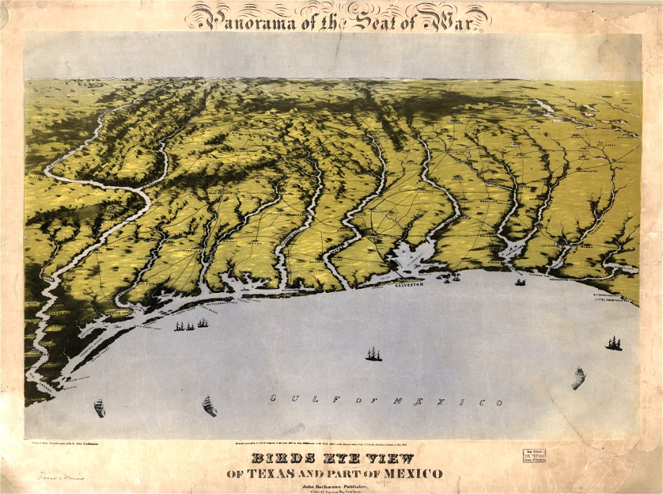
old maps of texas
maps in the library of congress
albert ruger
self-published work
architecture
self-published work
martyrdom
coat of arms of the russian empire
laurel wreaths in art
architecture
gilded
self-published work
architecture
village
travel
fishermen from isla margarita
boats in margarita island
military
aircraft
self-published work
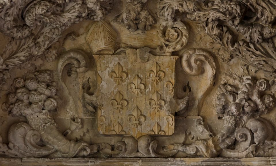
mitres in heraldry
water
boat
self-published work
pages with maps
architecture
facade
self-published work
pages with maps
reptiles
animals
courseulles-sur-mer
self-published work
architecture
exterior
architecture
village
self-published work
architecture
self-published work
architecture
5401 - 5500 of 357,565
Next page
/ 3576