Log in
All resources
Create a design
Tools
357,563 Free Images of Maps
maps in the library of congress
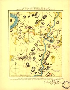
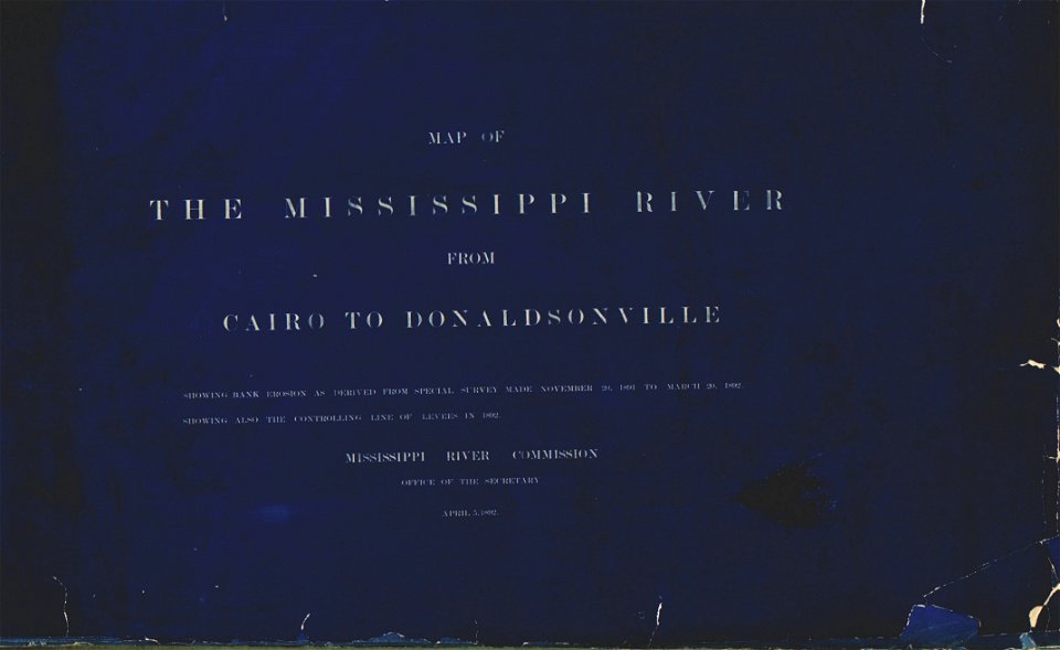
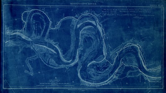
map of the mississippi river - from cairo to donaldsonville
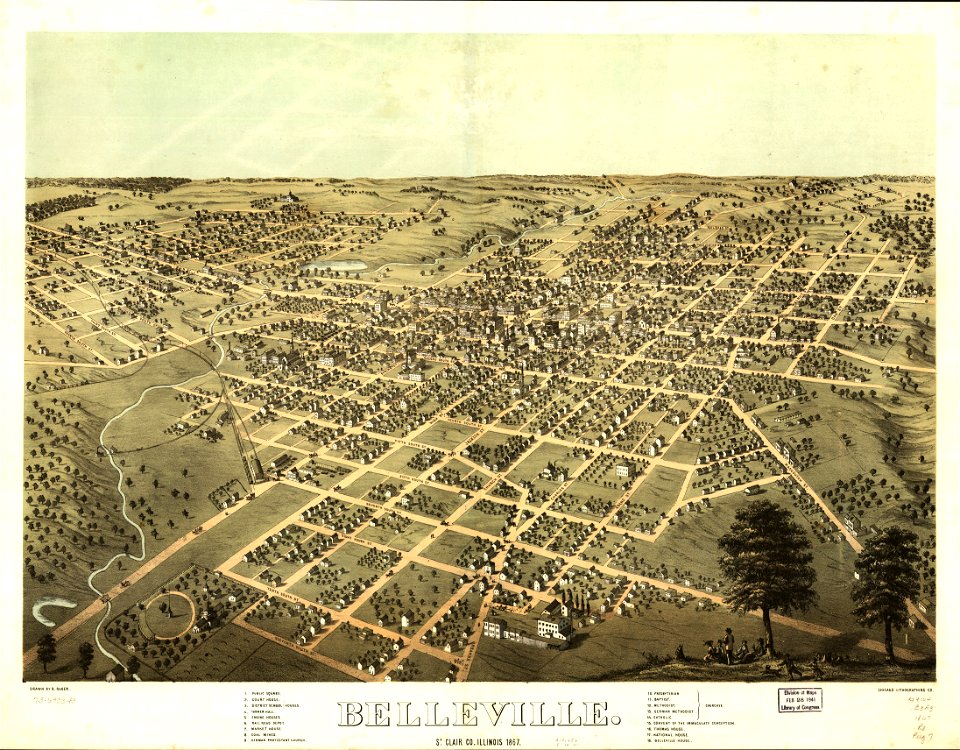
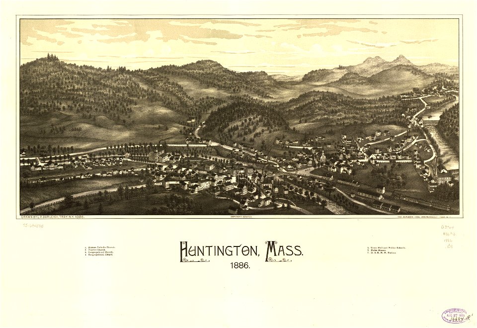
town maps by l. r. burleigh
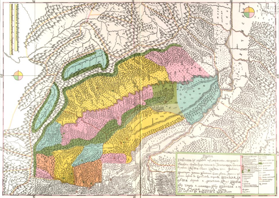
description of kingdom of georgia
its habits and canons
1740s maps of georgia
georgian-language maps
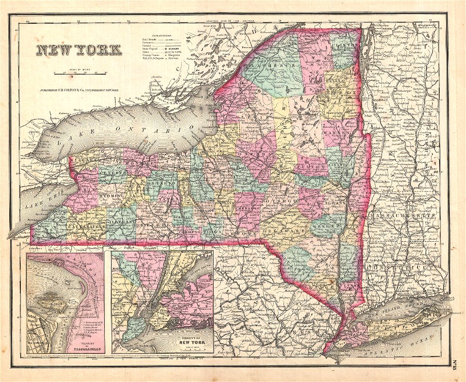
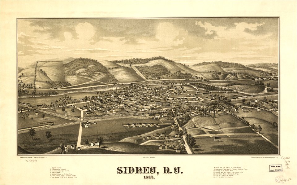
1887 maps of new york (state)
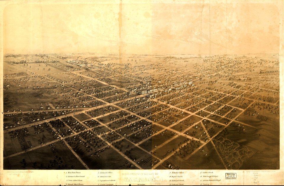
albert ruger
massachusetts
maps from the mechanical curator collection
old maps of prussia
maps from the mechanical curator collection
old maps of prussia
yellow
maps
l'illustration
1862
holy land
israelite
18th-century maps of indonesia
maps of new guinea
a map of the british empire in america with the french and spanish settlements adjacent thereto
maps in the library of congress
a map of the british empire in america with the french and spanish settlements adjacent thereto
maps in the library of congress
trịnh lords
1747)
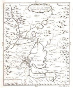
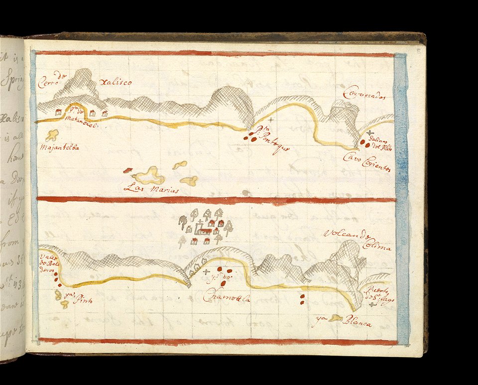
old maps of mexico
mexico
david rumsey historical map collection
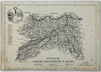
german-language maps
david rumsey historical map collection
german-language maps
historical images of solothurn
carl durheim
fonds ancely - bibliothèque municipale de toulouse - maps
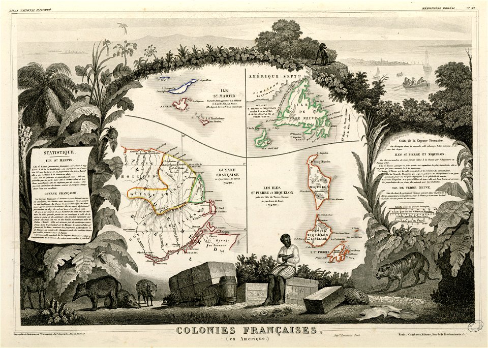
old maps of guyana
17th-century engravings
faces of men in art
maps in the national library of australia
claes jansz. visscher (ii)
pillars of hercules in heraldry
old maps of holland
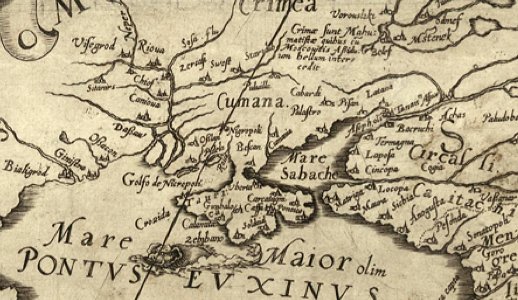
old maps of the sea of azov
old maps of crimea
maps of the dutch east india company - sri lanka
1787
maps of the dutch east india company - japan
1655)
prints from dankaerts historis at the peace palace library
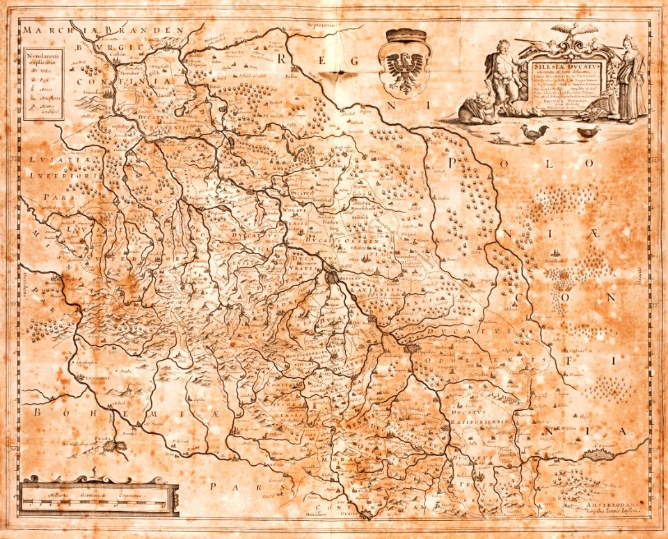
old maps of silesia
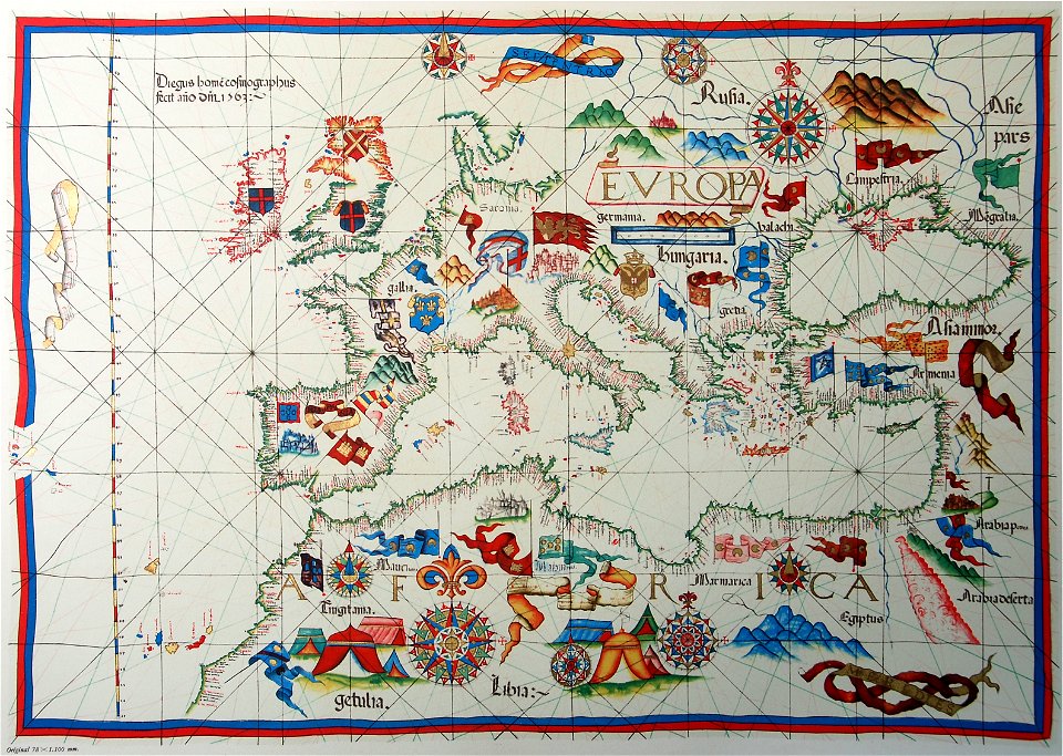
old maps of europe
diogo homem
maps of the west-indische compagnie
1644
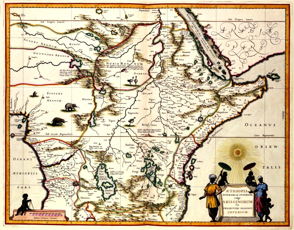
17th-century maps of africa
1635
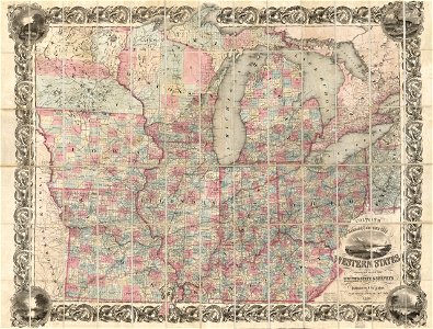
maps in the library of congress
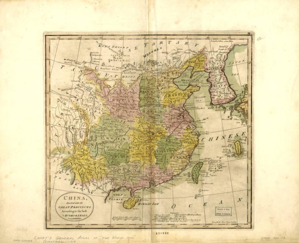
old maps of china
maps in the library of congress
1886 maps
maps in the library of congress
old maps of maryland
maps in the library of congress
old maps of maryland
maps in the library of congress
1867 maps
maps in the library of congress
1867 maps
maps in the library of congress
albert ruger
maps in the library of congress
1886 maps
maps in the library of congress
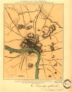
old maps of virginia
maps in the library of congress
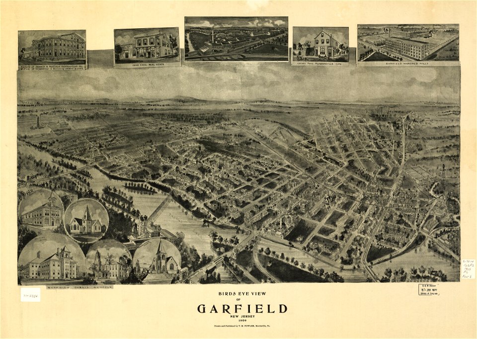
1909 maps
maps in the library of congress
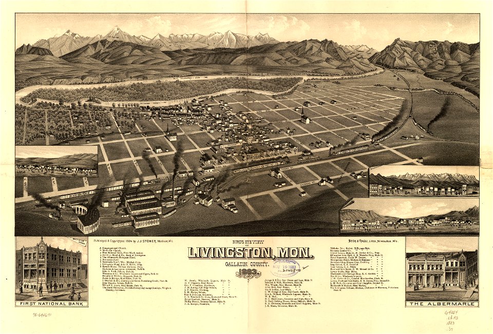
1883 maps
old maps of mexico
jalisco
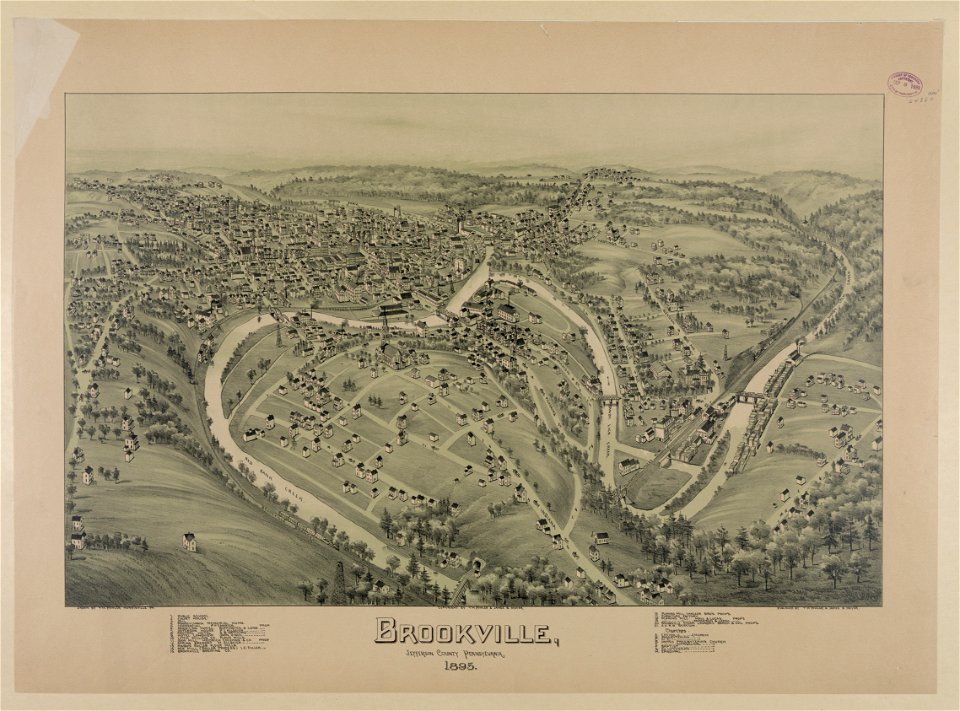
bird's eye view maps of pennsylvania
pennsylvania
pennsylvania
brownsville
maps by joseph hutchins colton
1857 maps of new york (state)
description of kingdom of georgia
its habits and canons
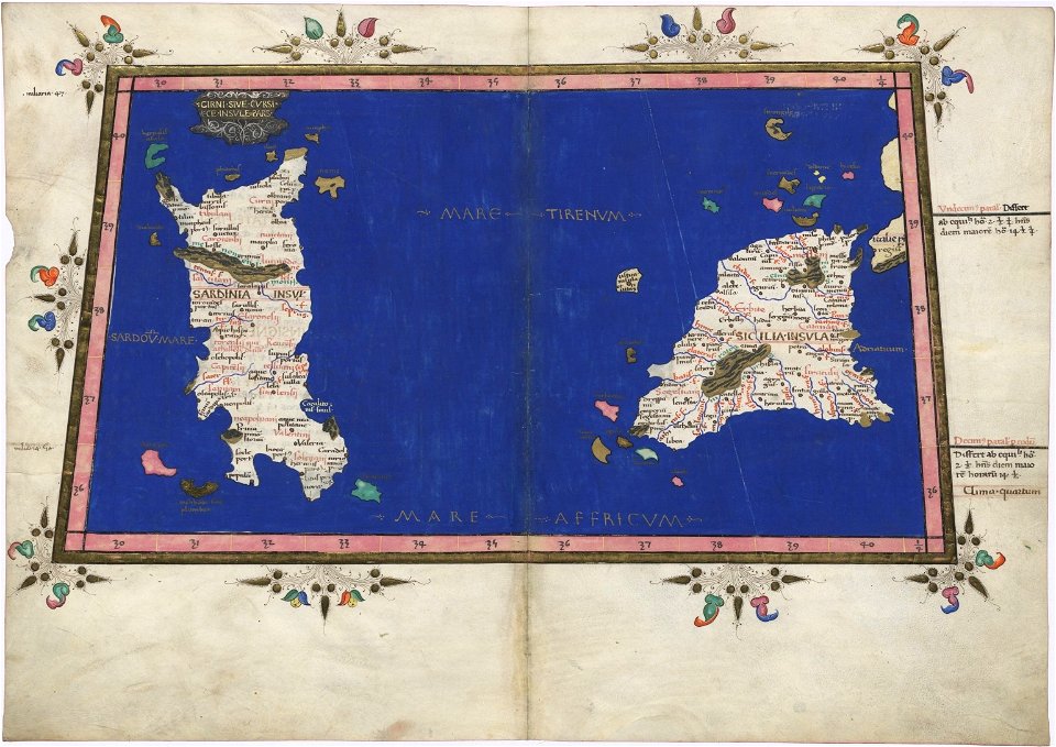
cosmographia claudii ptolomaei alexandrini
latin-language maps
old maps of massachusetts
massachusetts
maps in the library of congress
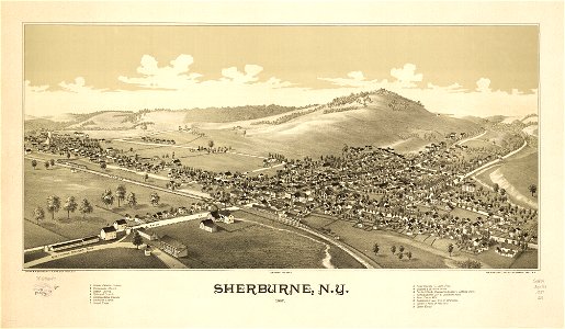
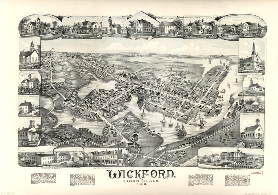
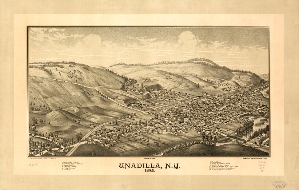
town maps by l. r. burleigh
maps in the library of congress
town maps by l. r. burleigh
maps in the library of congress
1882 maps
images from bristol past and present (1882)
old maps of bristol
maps in the library of congress
old maps of virginia
1599 maps
zeno map
maps in the library of congress
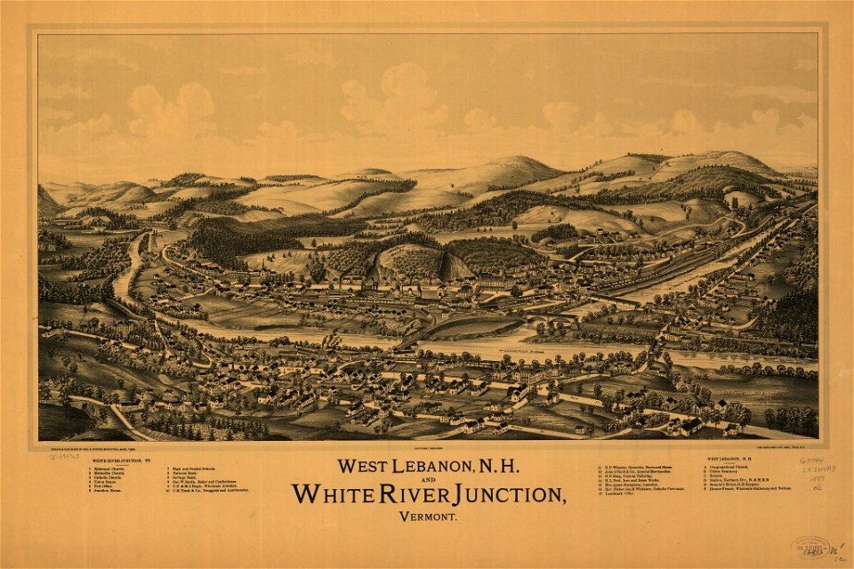
old maps of new hampshire
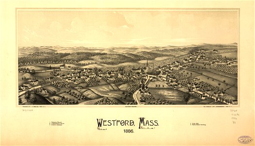
massachusetts
westford
maps in the library of congress
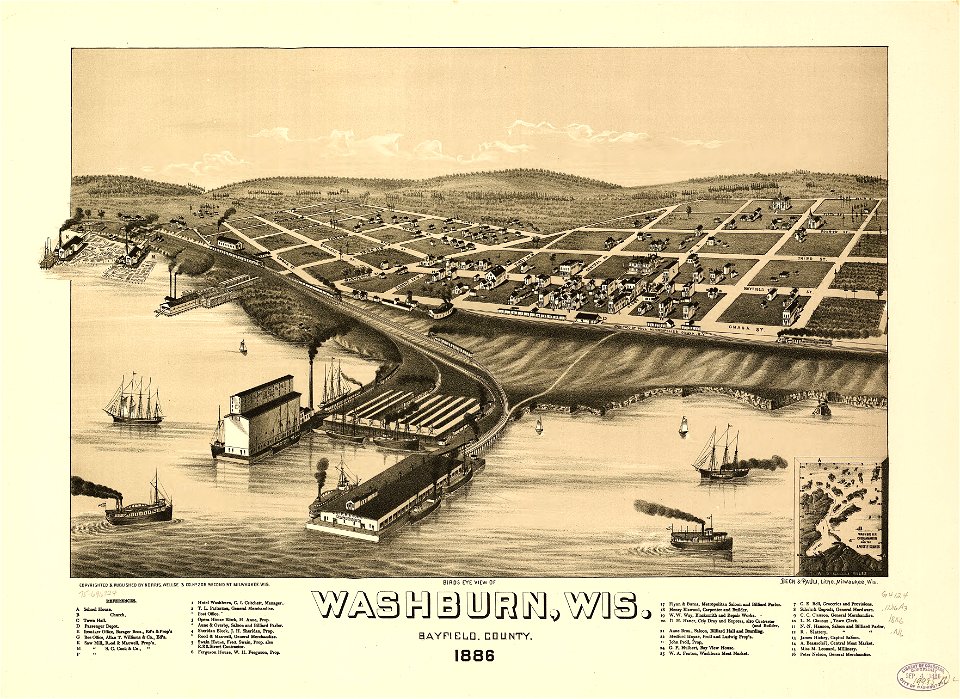
o. h. bailey
maps in the library of congress
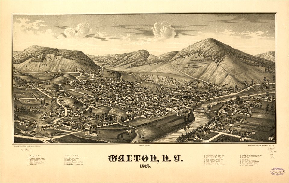
town maps by l. r. burleigh
maps in the library of congress
town maps by l. r. burleigh
maps in the library of congress
town maps by l. r. burleigh
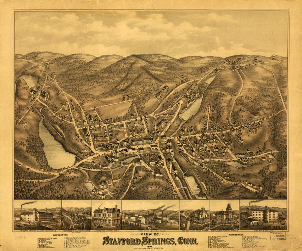
old maps of connecticut
o. h. bailey
maps in the library of congress
1867 maps
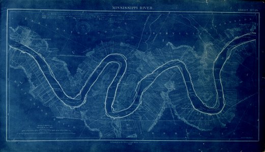
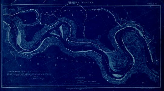
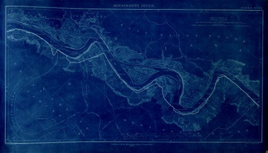
map of the mississippi river - from cairo to donaldsonville
maps in the library of congress
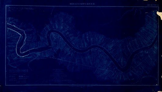
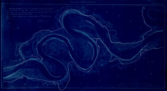
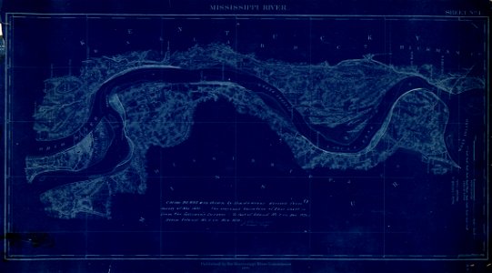
map of the mississippi river - from cairo to donaldsonville
maps in the library of congress
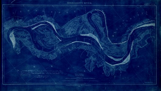
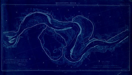
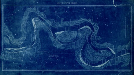
map of the mississippi river - from cairo to donaldsonville
maps in the library of congress
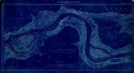
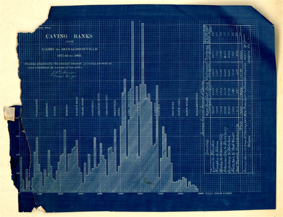
map of the mississippi river - from cairo to donaldsonville
maps in the library of congress
map of the mississippi river - from cairo to donaldsonville
maps in the library of congress
small atlas of the russian empire (1792)
maps of yaroslavl governorate
map of the mississippi river - from cairo to donaldsonville
maps in the library of congress
map of the mississippi river - from cairo to donaldsonville
maps in the library of congress
map of the mississippi river - from cairo to donaldsonville
maps in the library of congress
map of the mississippi river - from cairo to donaldsonville
maps in the library of congress
map of the mississippi river - from cairo to donaldsonville
maps in the library of congress
map of the mississippi river - from cairo to donaldsonville
maps in the library of congress
map of the mississippi river - from cairo to donaldsonville
maps in the library of congress
map of the mississippi river - from cairo to donaldsonville
maps in the library of congress
small atlas of the russian empire (1792)
maps of saratov governorate
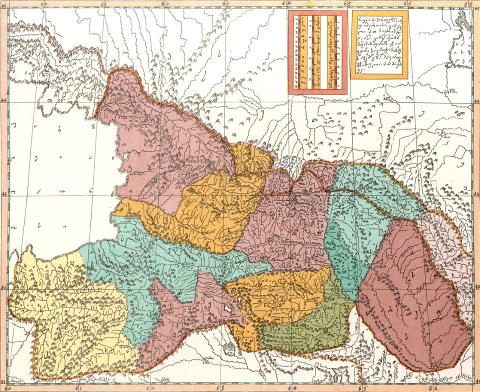
description of kingdom of georgia
its habits and canons
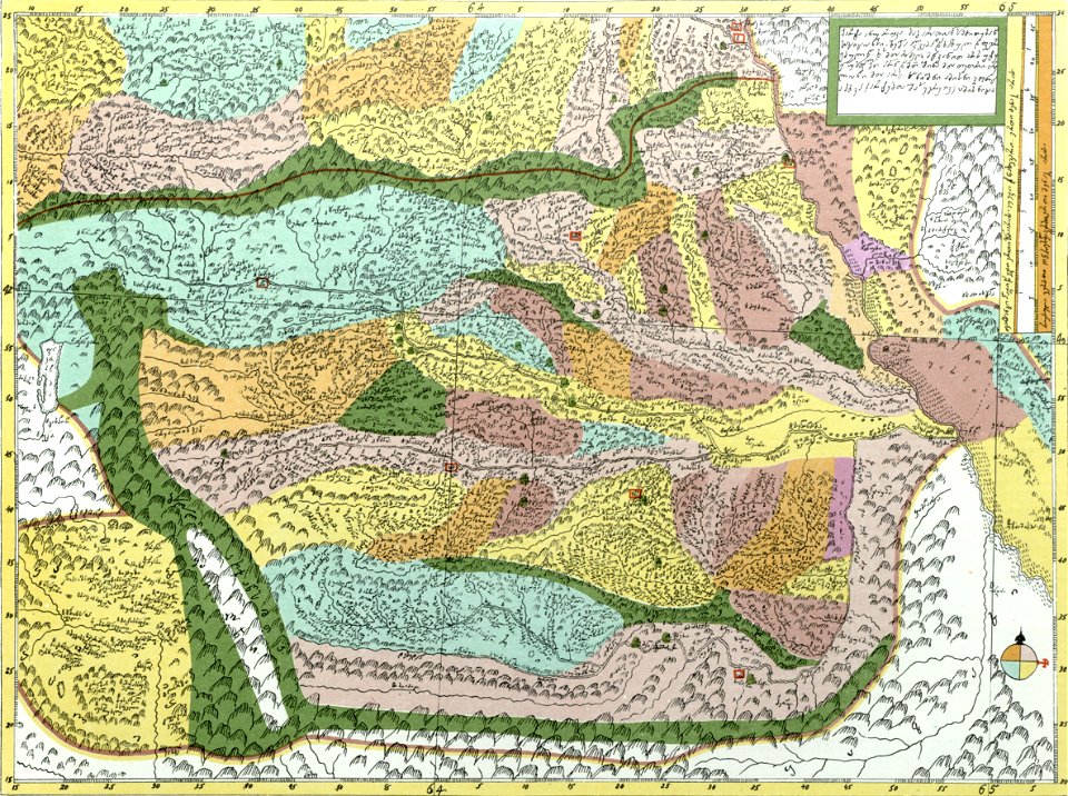
description of kingdom of georgia
its habits and canons
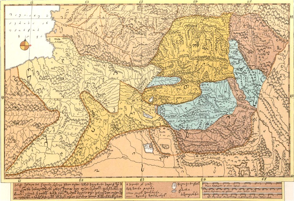
description of kingdom of georgia
its habits and canons
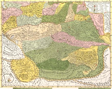
description of kingdom of georgia
its habits and canons
description of kingdom of georgia
its habits and canons
description of kingdom of georgia
its habits and canons
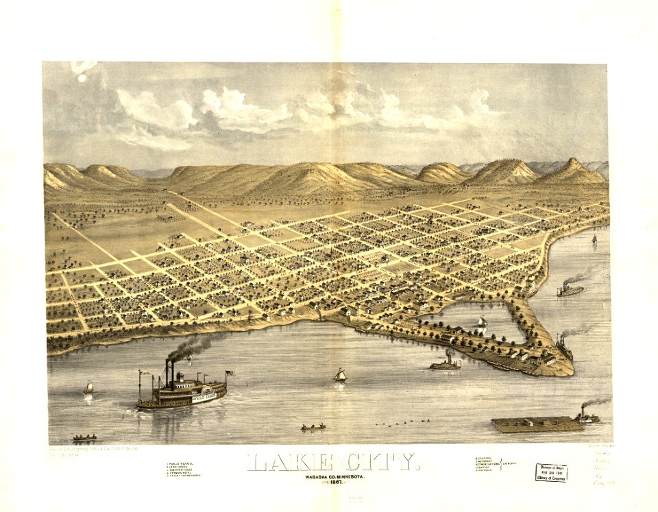
maps in the library of congress
1853 maps
media in the houghton library
harvard university
massachusetts
huntington
old maps of whole wales (alone)
john speed
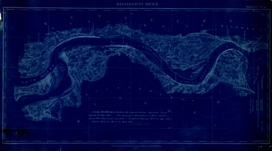
map of the mississippi river - from cairo to donaldsonville
maps in the library of congress
map of the mississippi river - from cairo to donaldsonville
maps in the library of congress
map of the mississippi river - from cairo to donaldsonville
maps in the library of congress
map of the mississippi river - from cairo to donaldsonville
maps in the library of congress
map of the mississippi river - from cairo to donaldsonville
maps in the library of congress
map of the mississippi river - from cairo to donaldsonville
maps in the library of congress
map of the mississippi river - from cairo to donaldsonville
maps in the library of congress
map of the mississippi river - from cairo to donaldsonville
maps in the library of congress
map of the mississippi river - from cairo to donaldsonville
maps in the library of congress
map of the mississippi river - from cairo to donaldsonville
maps in the library of congress
map of the mississippi river - from cairo to donaldsonville
maps in the library of congress
map of the mississippi river - from cairo to donaldsonville
maps in the library of congress
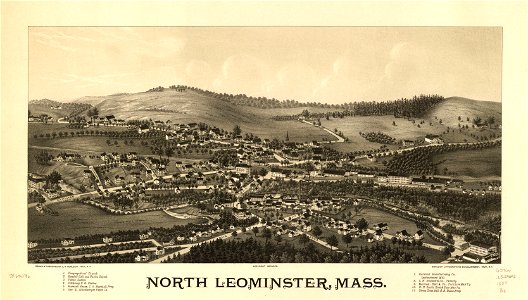
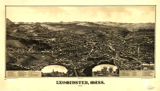
massachusetts
leominster
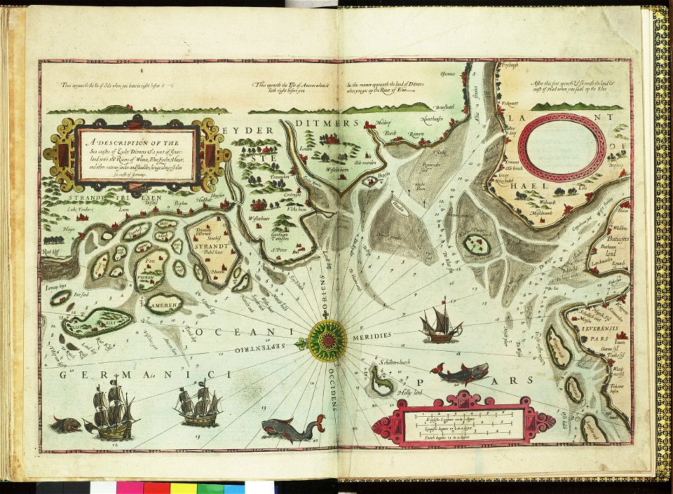
german bight
1588 maps
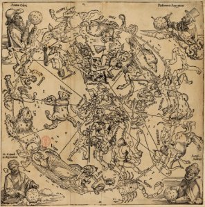
old celestial maps
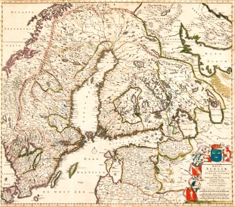
old maps of scandinavia
1680 maps
maps
usa
countries
maps
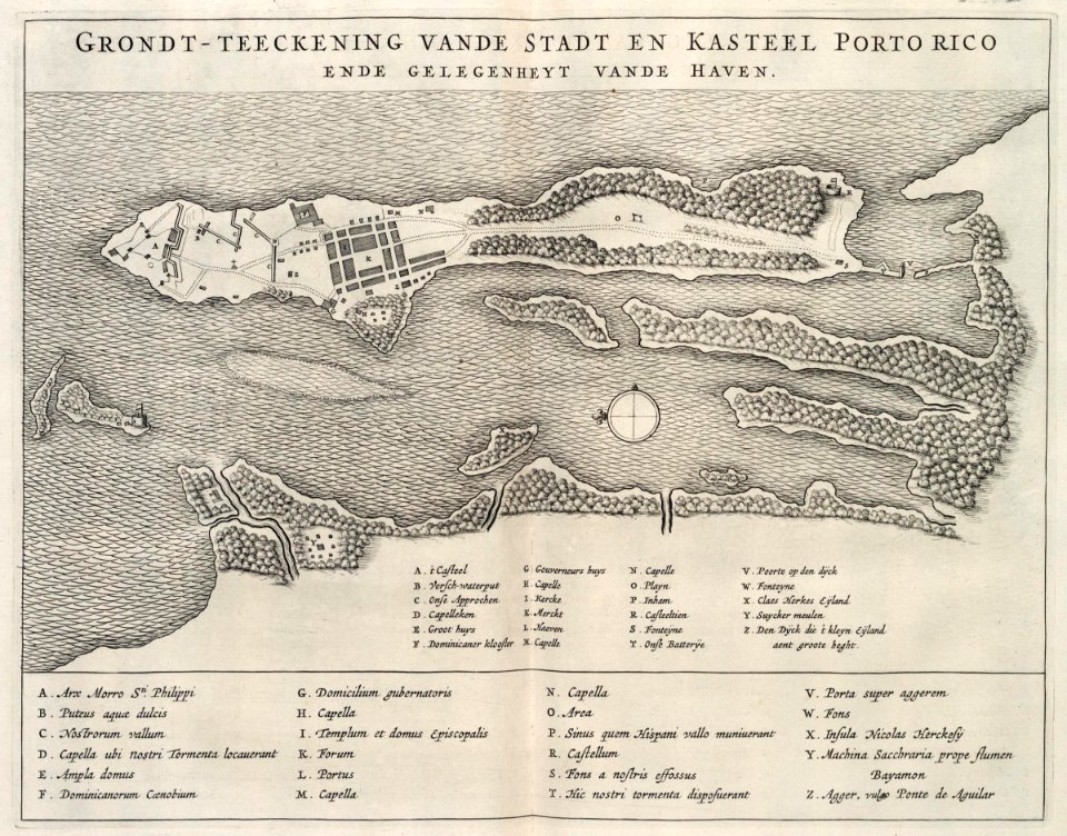
1712 maps of puerto rico
johannes van keulen
5301 - 5400 of 357,563
Next page
/ 3576