Log in
All resources
Create a design
Tools
357,629 Free Images of Maps
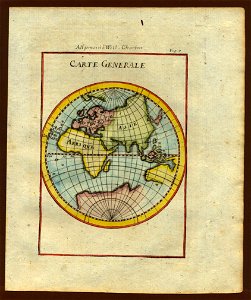
description de l'universe
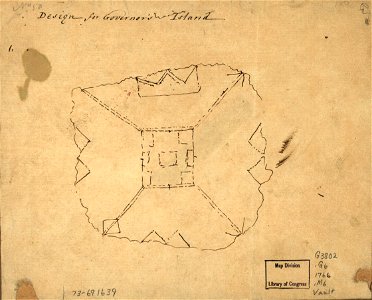
maps in the library of congress
charts and maps of the royal museums greenwich
1682 maps
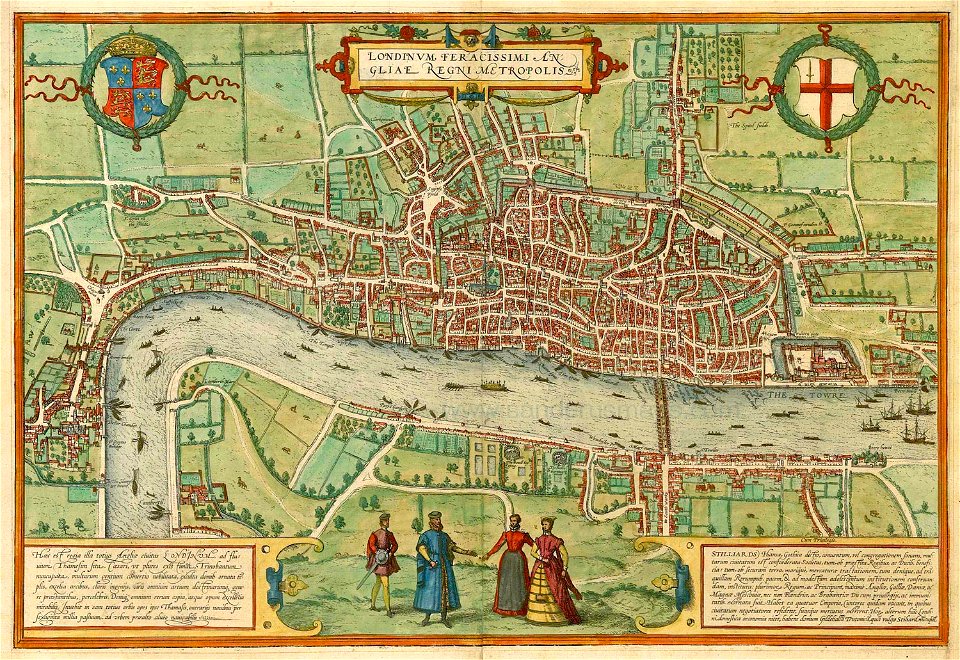
john rocque's 1746 map of london
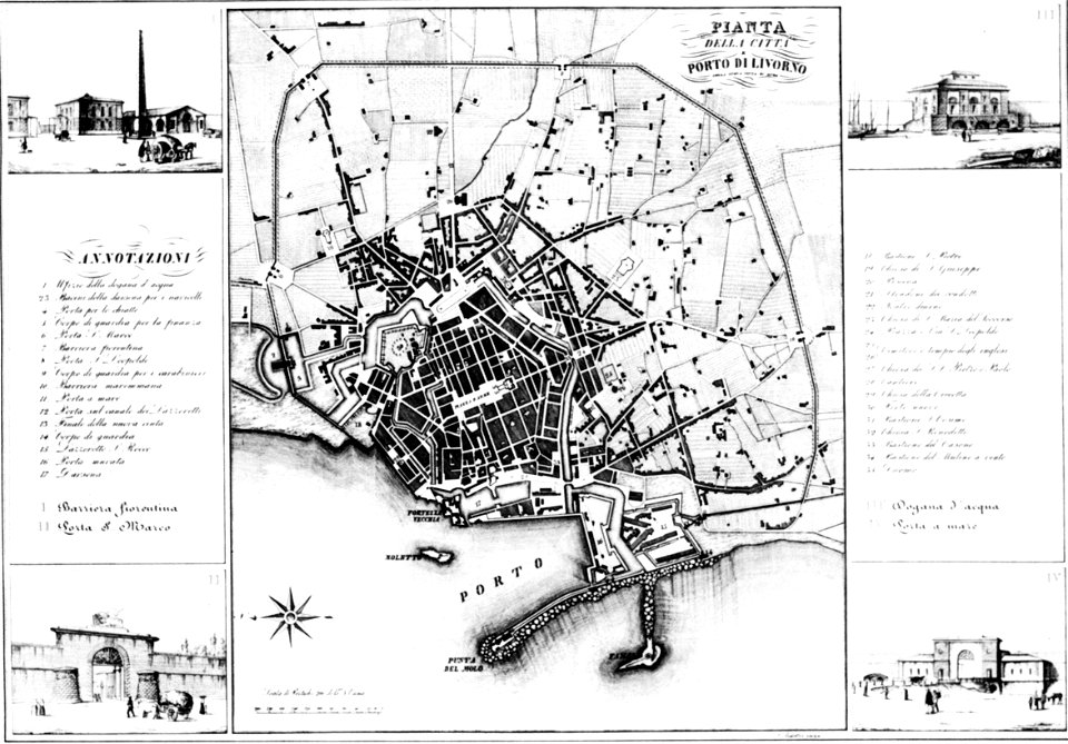
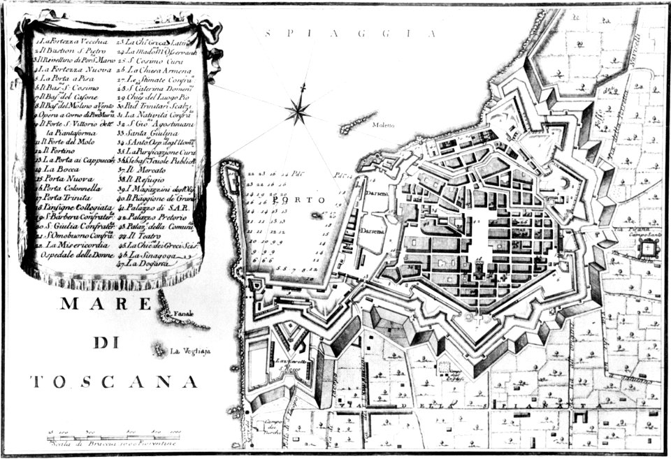
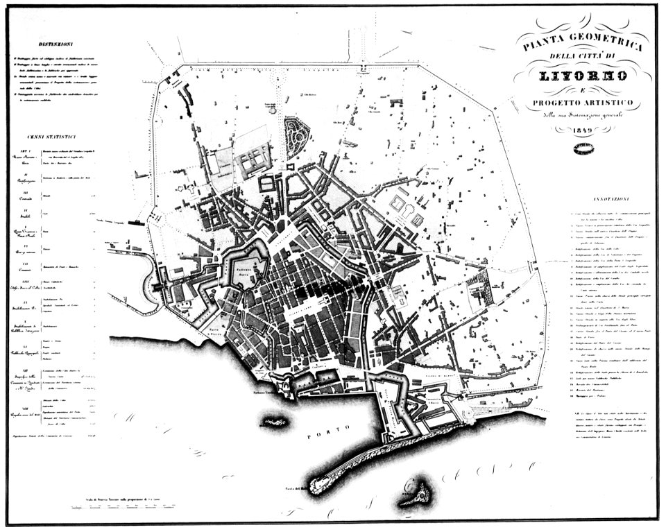
old maps of livorno
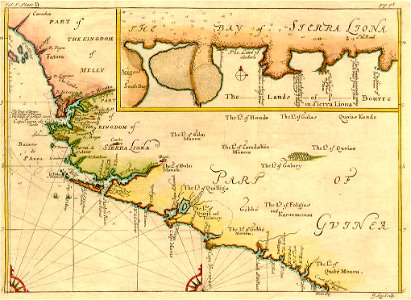
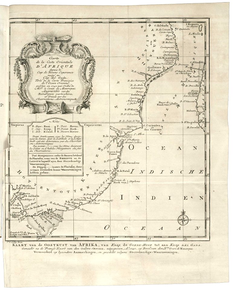
old maps of africa
details of old maps
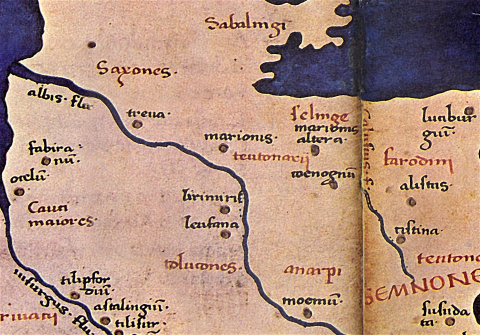
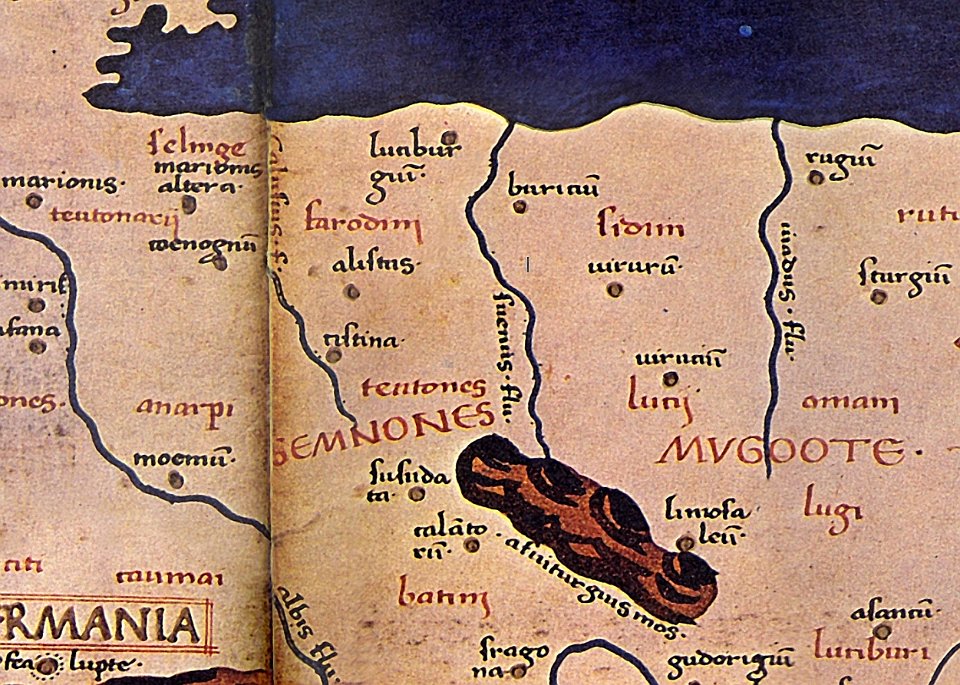
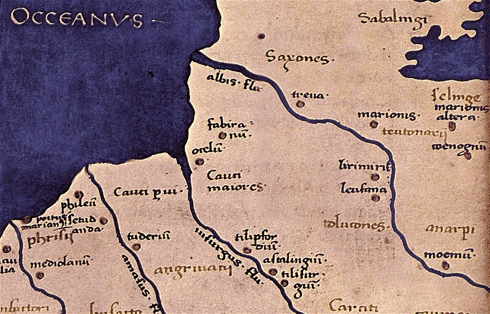
maps of germania magna
donnus nicolaus germanus
maps of the west-indische compagnie
1647
maps of the west-indische compagnie
1630
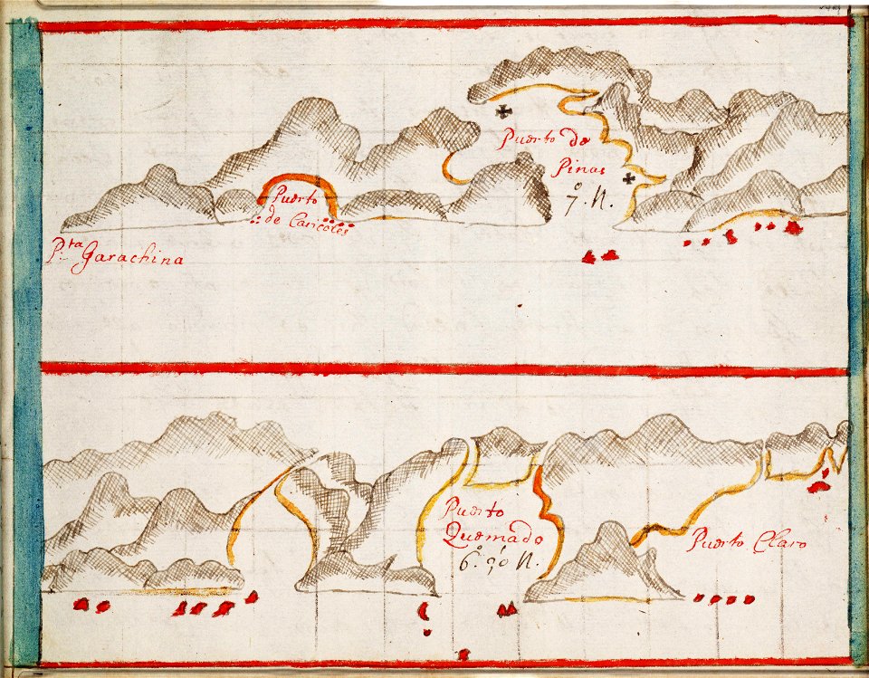
charts and maps of the royal museums greenwich
1682 maps
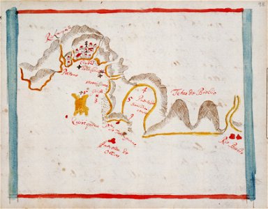
charts and maps of the royal museums greenwich
1682 maps
charts and maps of the royal museums greenwich
1682 maps
charts and maps of the royal museums greenwich
1682 maps
charts and maps of the royal museums greenwich
1682 maps
maps by wolfgang lazius
maps from burzenland
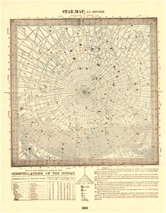
old celestial maps
maps in the library of congress
1760 maps
description de l'universe
old maps of saudi arabia
description de l'universe
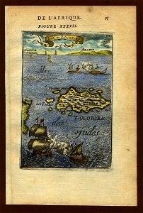
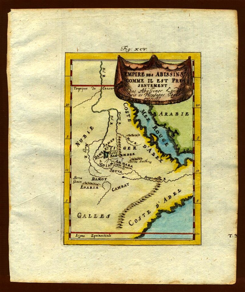
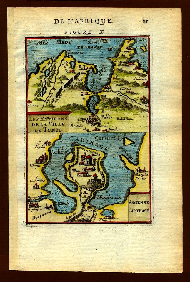
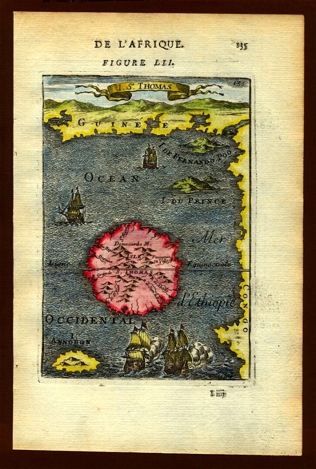
old maps of africa
description de l'universe
maps of novaya zemlya
description de l'universe
1710s maps of the world
description de l'universe
old maps of africa
description de l'universe
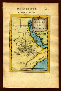
old maps of africa
description de l'universe
old map
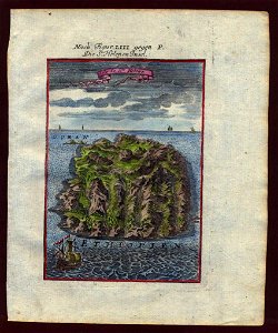
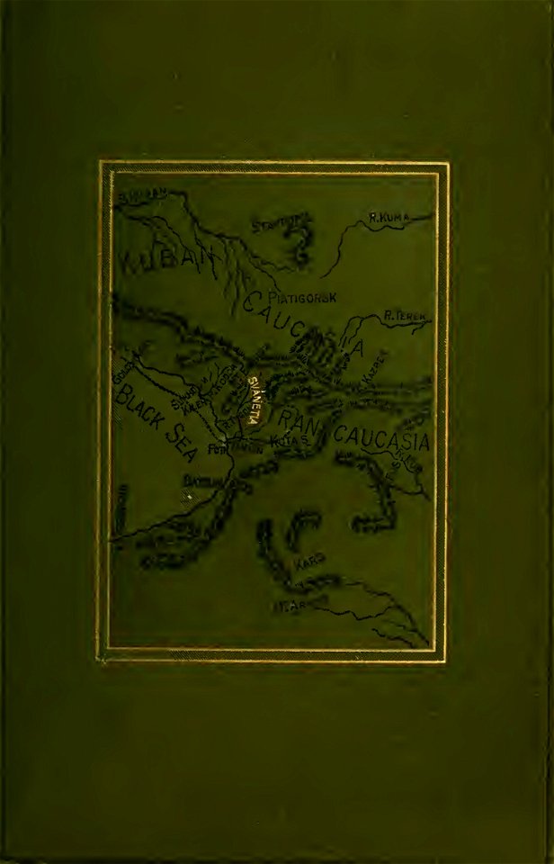
old maps of svaneti
savage svânetia
description de l'universe
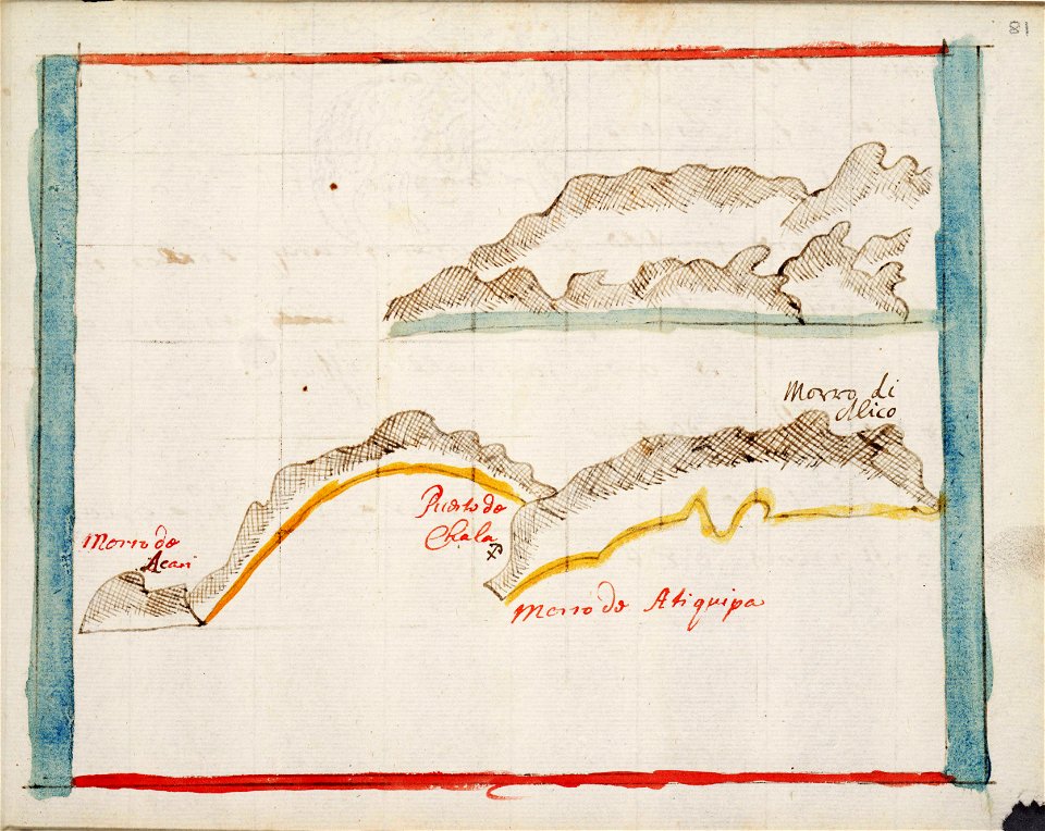
old maps of the nile
description de l'universe
old maps of africa
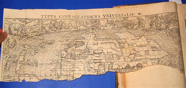
illustrations of cosmographia (münster)
old maps of the world
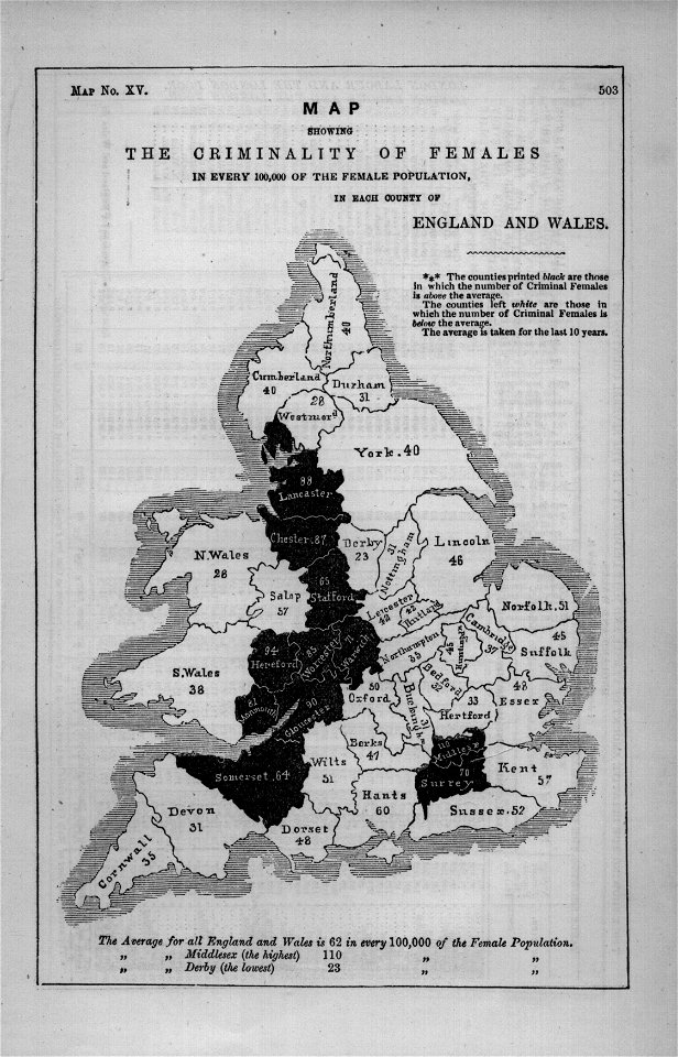
maps in london labour and the london poor (1851)
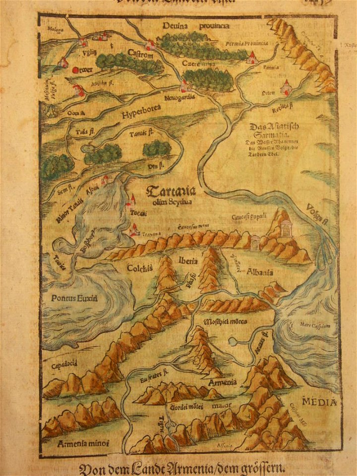
cosmographia (1600) by sebastian münster
old map
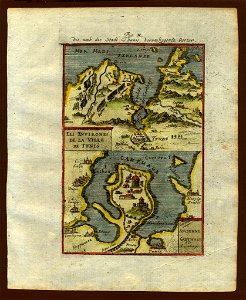
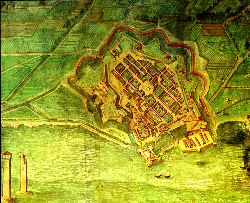
old maps of livorno
old maps of livorno
maps by samuel nienborg
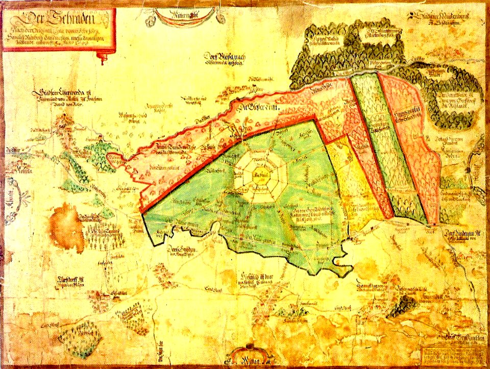
maps of schraden
maps of germania magna
details of old maps
maps of germania magna
details of old maps
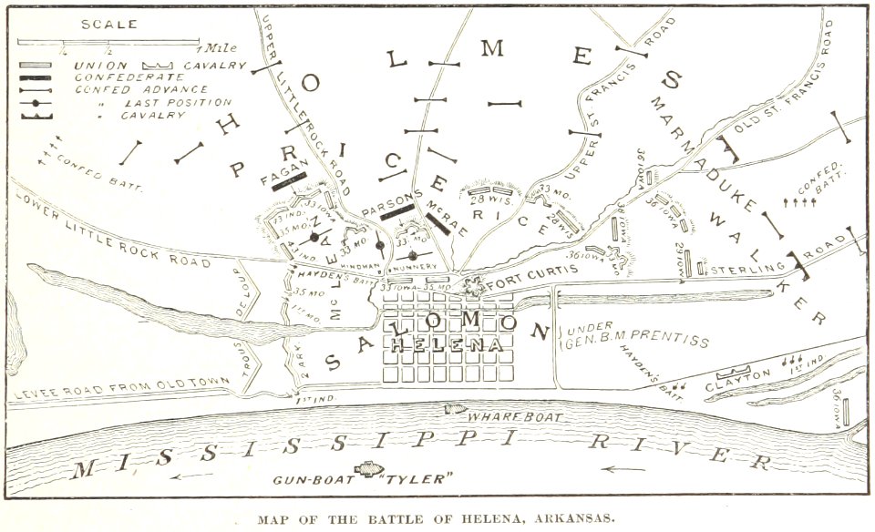
battles and leaders of the civil war (1887)
maps from the mechanical curator collection
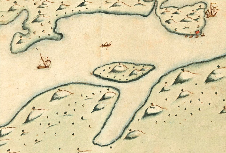
17th-century maps of indonesia
1621
maps in the library of congress
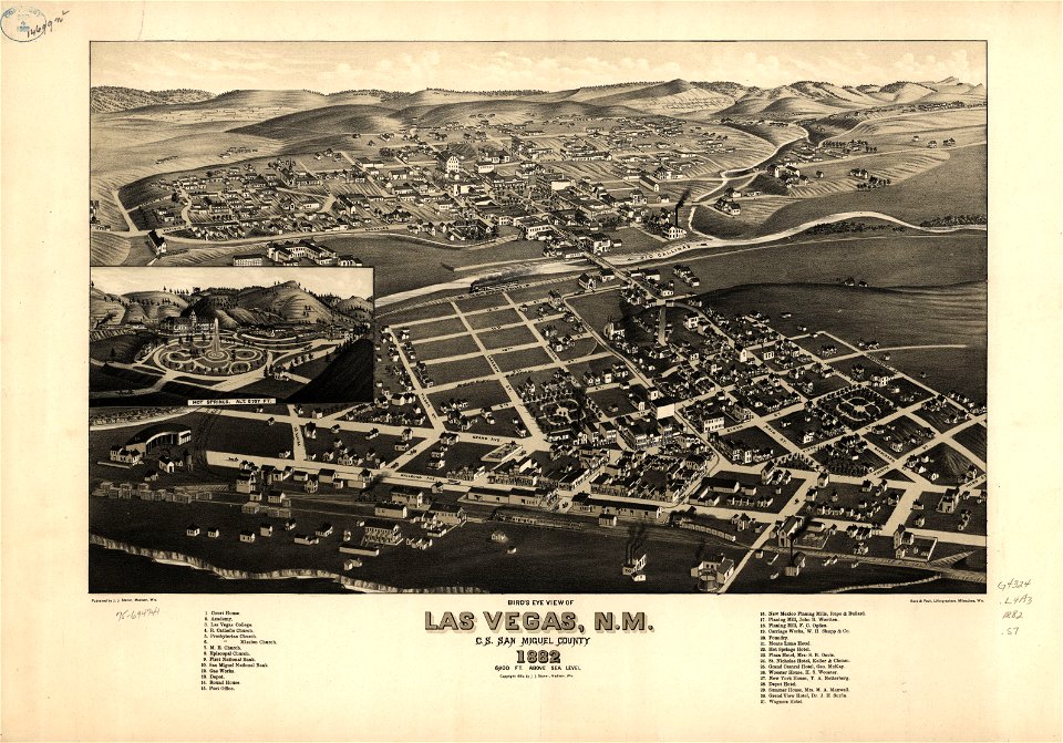
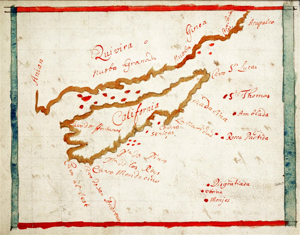
old maps of new mexico
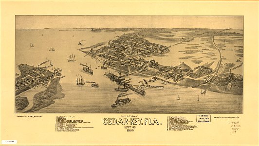
cedar key
florida
maps in the library of congress
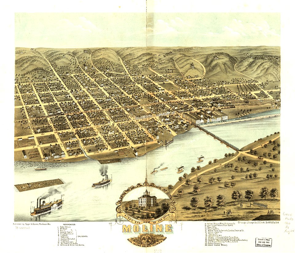
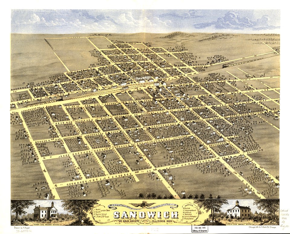
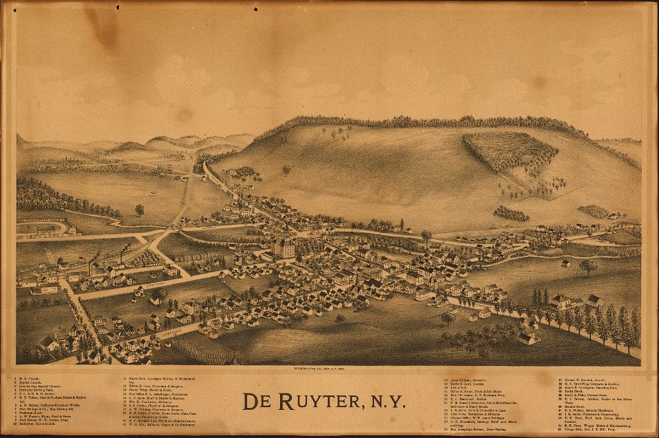
albert ruger
maps in the library of congress
albert ruger
maps in the library of congress
albert ruger
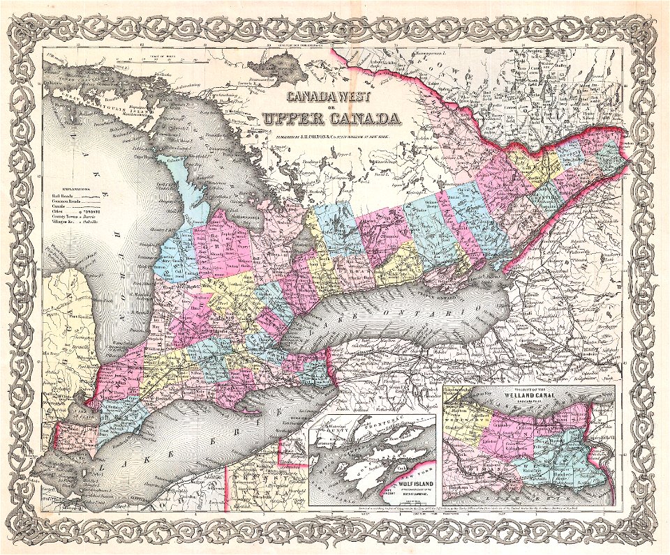
maps by joseph hutchins colton
upper canada
egypt
maps
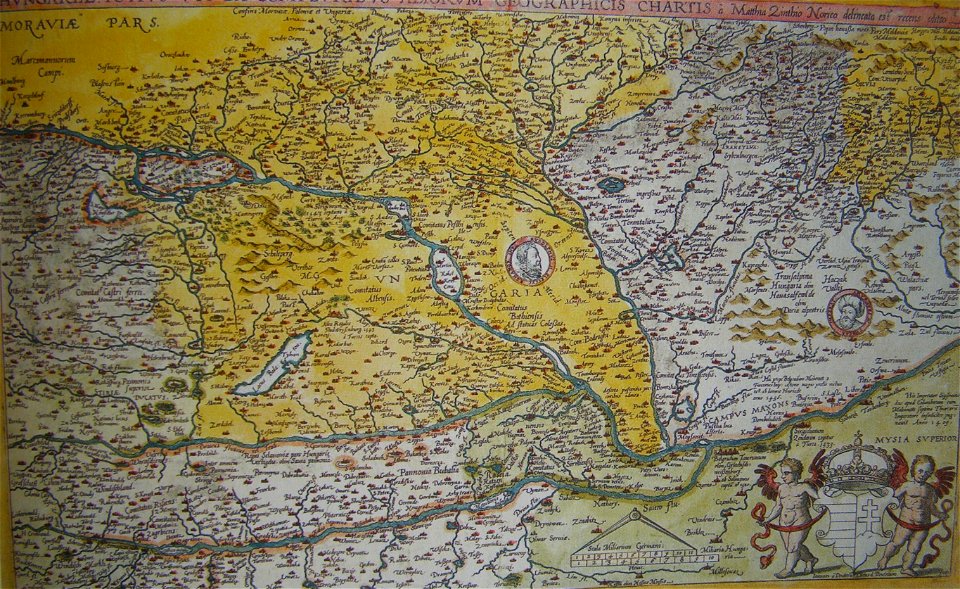
old maps of the history of hungary
old maps of the ottoman empire
david rumsey historical map collection
german-language maps
johannes kip
1732 maps
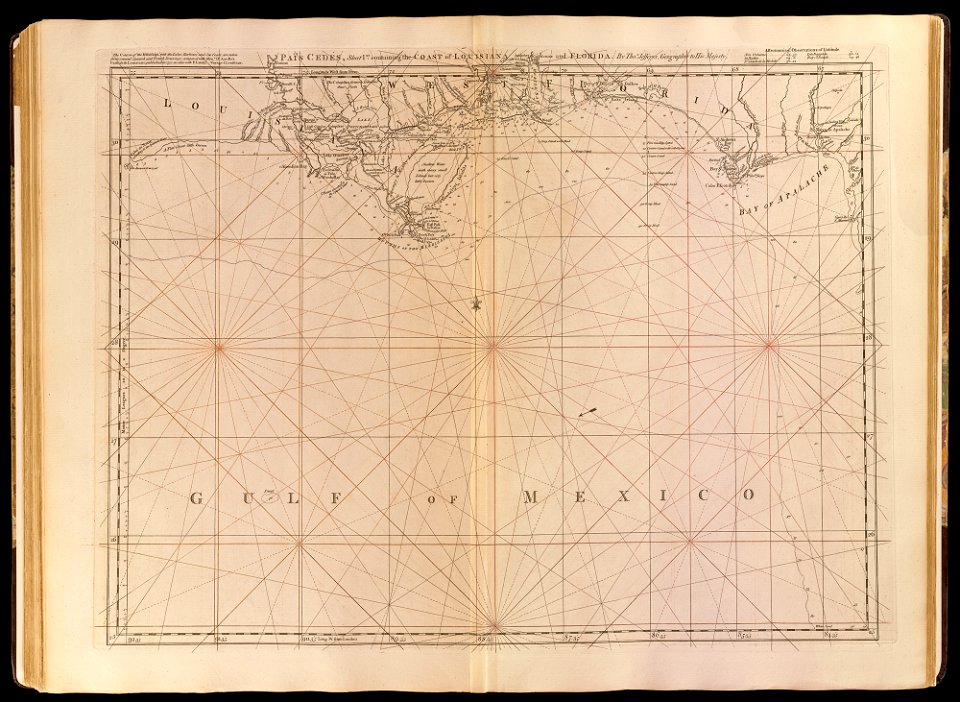
old maps of the gulf of mexico
maps by thomas jefferys
maps in the library of congress
1861 maps
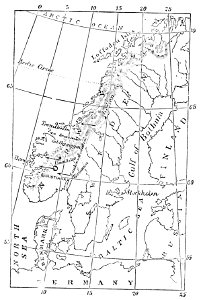
maps of scandinavia
1877 maps
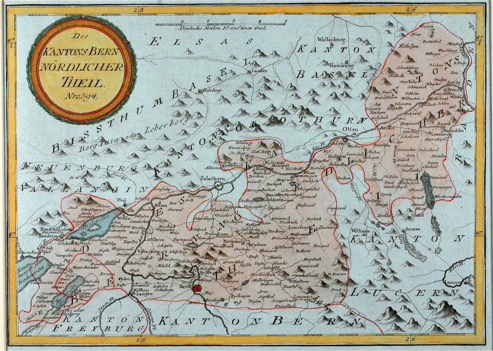
historical images of solothurn
old maps of switzerland
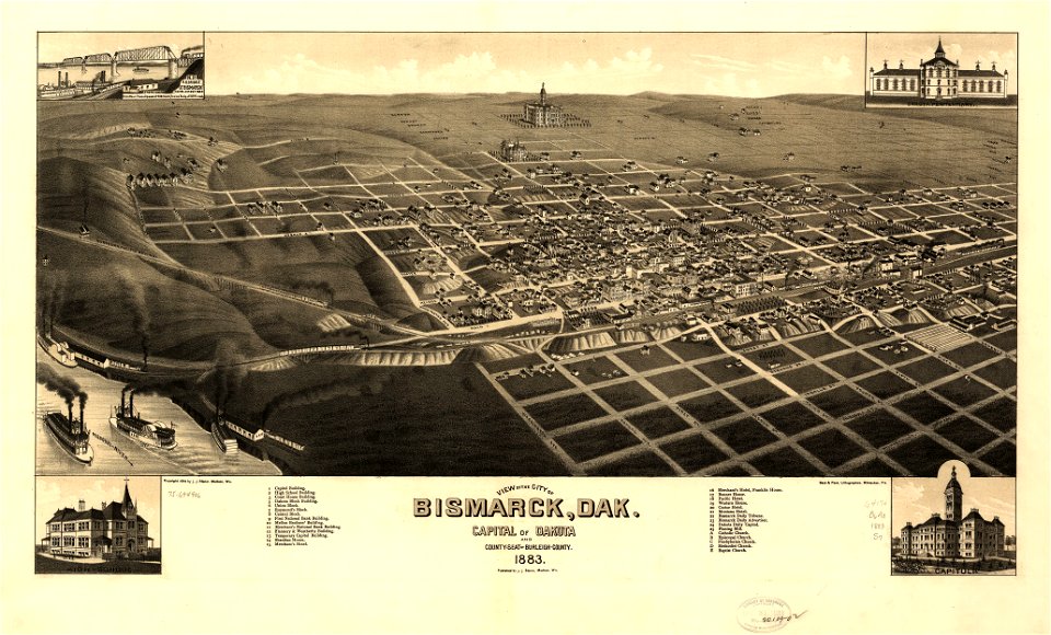
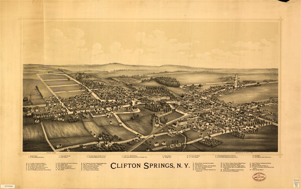
maps in the library of congress
1883 maps
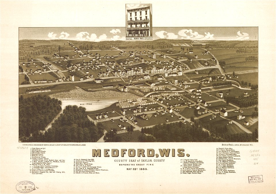
maps in the library of congress
1885 maps
maps in the library of congress
1885 maps
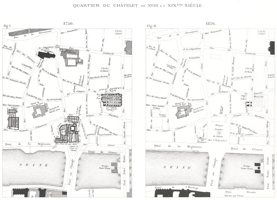
lithographs of paris
grand châtelet
arrow
maps
maps
flag
frédéric-auguste laguillermie
molière
johann baptist homann
latin-language maps
old maps of the dutch east india company - africa
1747)
maps made in the 18th century
old maps of europe
maps made in the 17th century
gerard valck
maps of germania magna
details of old maps
charts and maps of the royal museums greenwich
1682 maps
map of london by braun & hogenberg
maps in the library of congress
1892 maps
maps in the library of congress
1892 maps
charts and maps of the royal museums greenwich
1682 maps
maps in the library of congress
1760 maps
maps in the library of congress
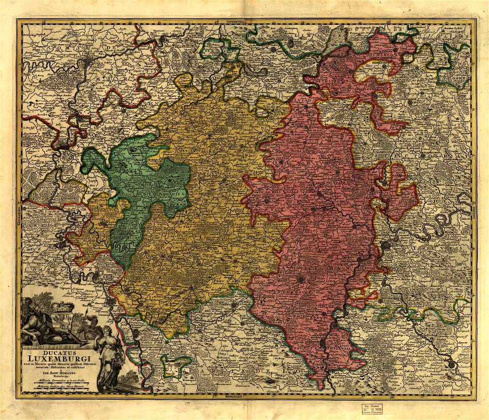
old maps of luxembourg
charts and maps of the royal museums greenwich
1682 maps
charts and maps of the royal museums greenwich
1682 maps
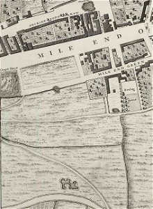
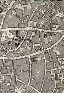
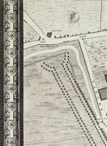
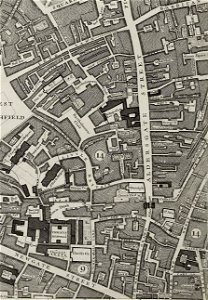
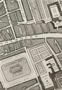
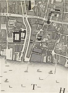
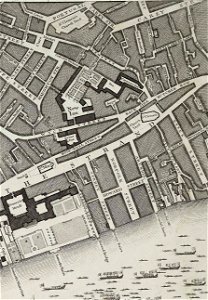
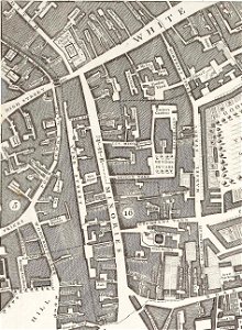
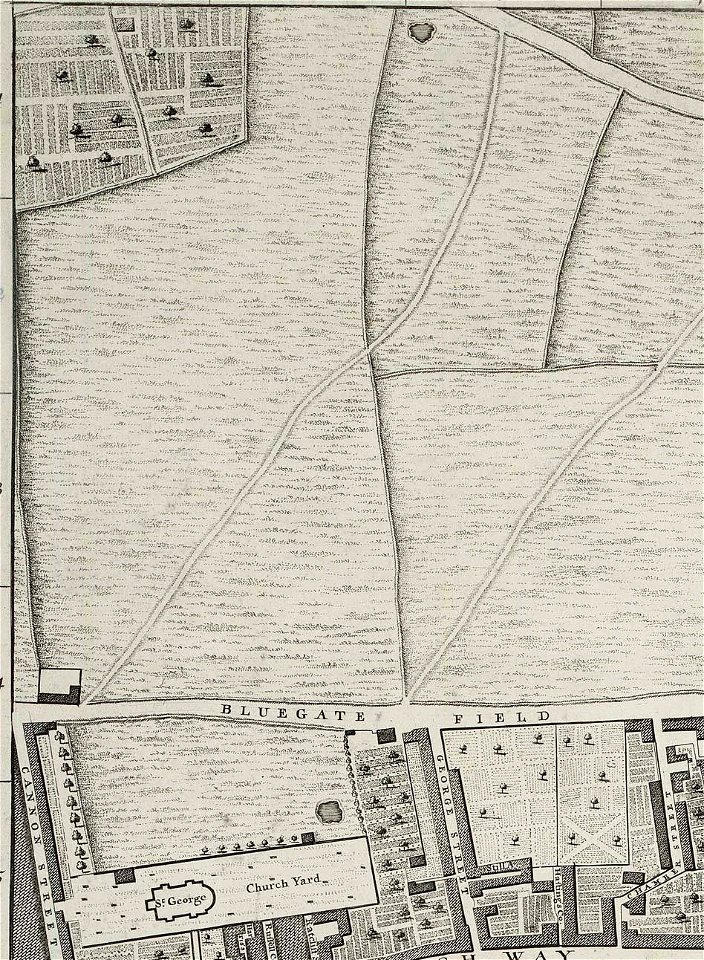
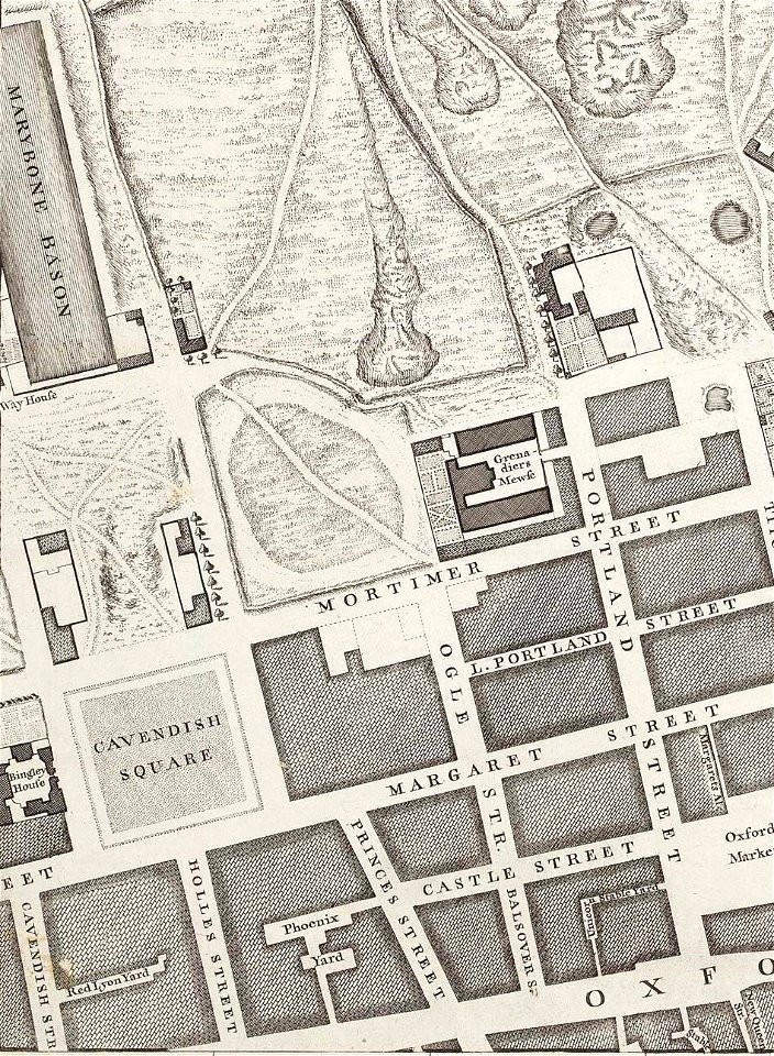
john rocque's 1746 map of london
john rocque's 1746 map of london
john rocque's 1746 map of london
john rocque's 1746 map of london
john rocque's 1746 map of london
john rocque's 1746 map of london
john rocque's 1746 map of london
john rocque's 1746 map of london
john rocque's 1746 map of london
john rocque's 1746 map of london
john rocque's 1746 map of london
john rocque's 1746 map of london
charts and maps of the royal museums greenwich
1682 maps
maps of germania magna
details of old maps
kvarnholmen
maps
charts and maps of the royal museums greenwich
1682 maps
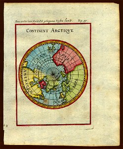
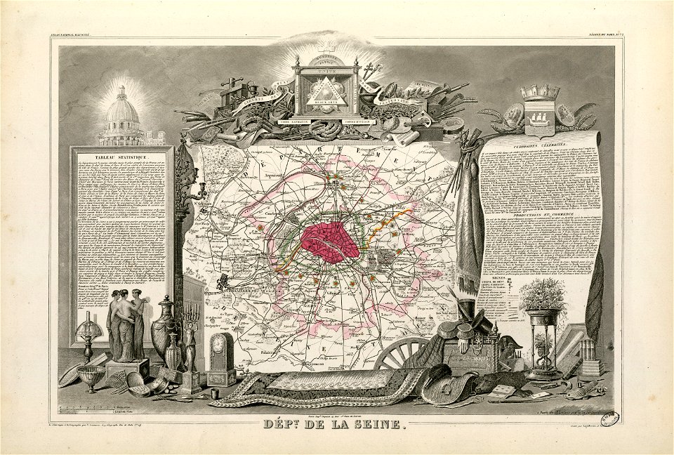
description de l'universe
1683 maps of europe
maps of germania magna
details of old maps
cosmographia (1600) by sebastian münster
1600s maps of egypt
maps of germania magna
details of old maps
description de l'universe
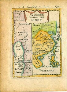
old maps of china
description de l'universe
1680s maps of the world
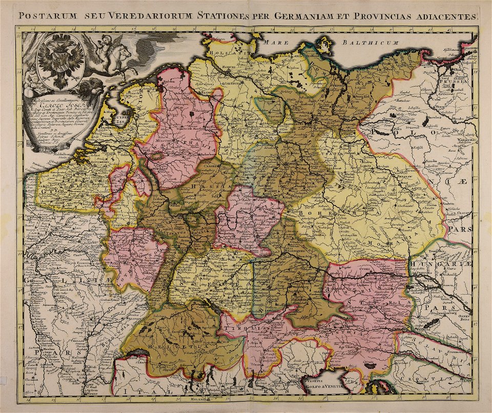
description de l'universe
1680s maps of germany
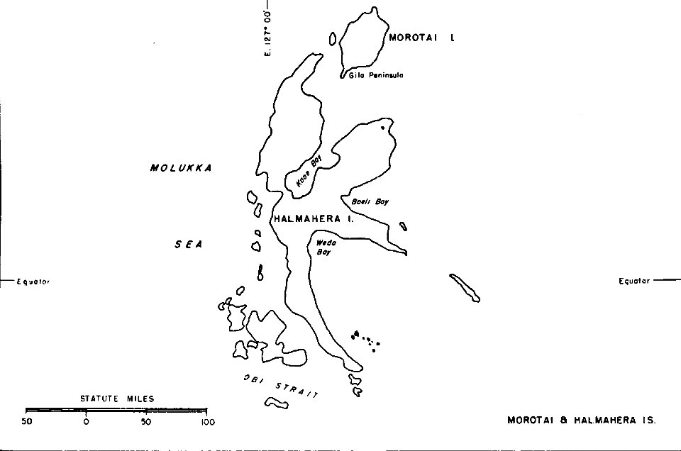
old maps of indonesia
halmahera
charts and maps of the royal museums greenwich
1682 maps
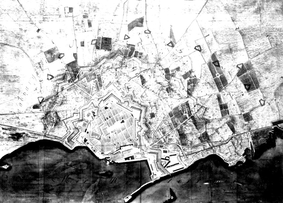
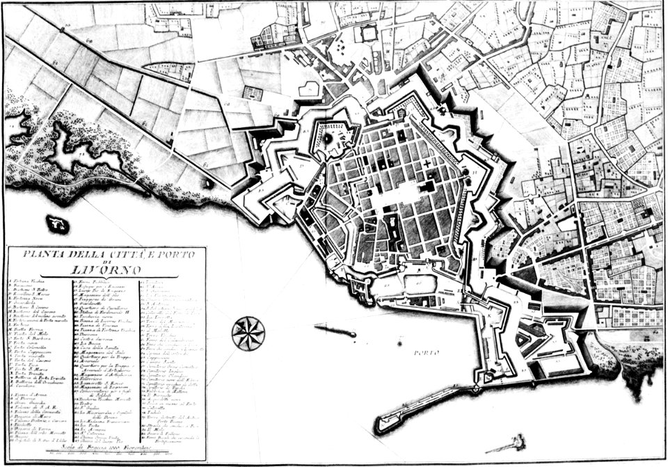
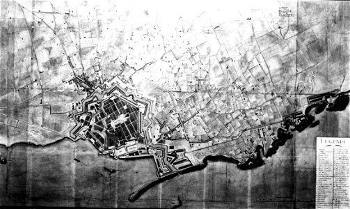
old maps of livorno
old maps of livorno
old maps of livorno
old maps of livorno
old maps of livorno
old maps of livorno
description de l'universe
1710s maps of the world
description de l'universe
old maps of africa
description de l'universe
old maps of africa
maps of the deccan sultanates
description de l'universe
6301 - 6400 of 357,629
Next page
/ 3577