Log in
All resources
Create a design
Tools
357,629 Free Images of Maps
maps in the library of congress
charts and maps of the royal museums greenwich
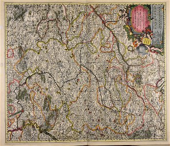
1682 maps
description de l'universe
details of old maps
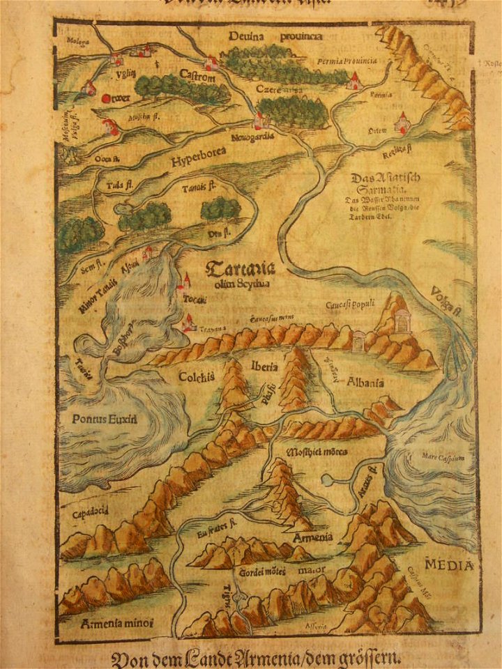
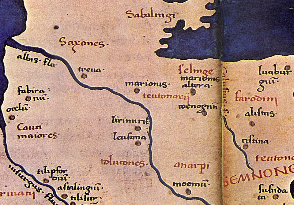
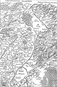
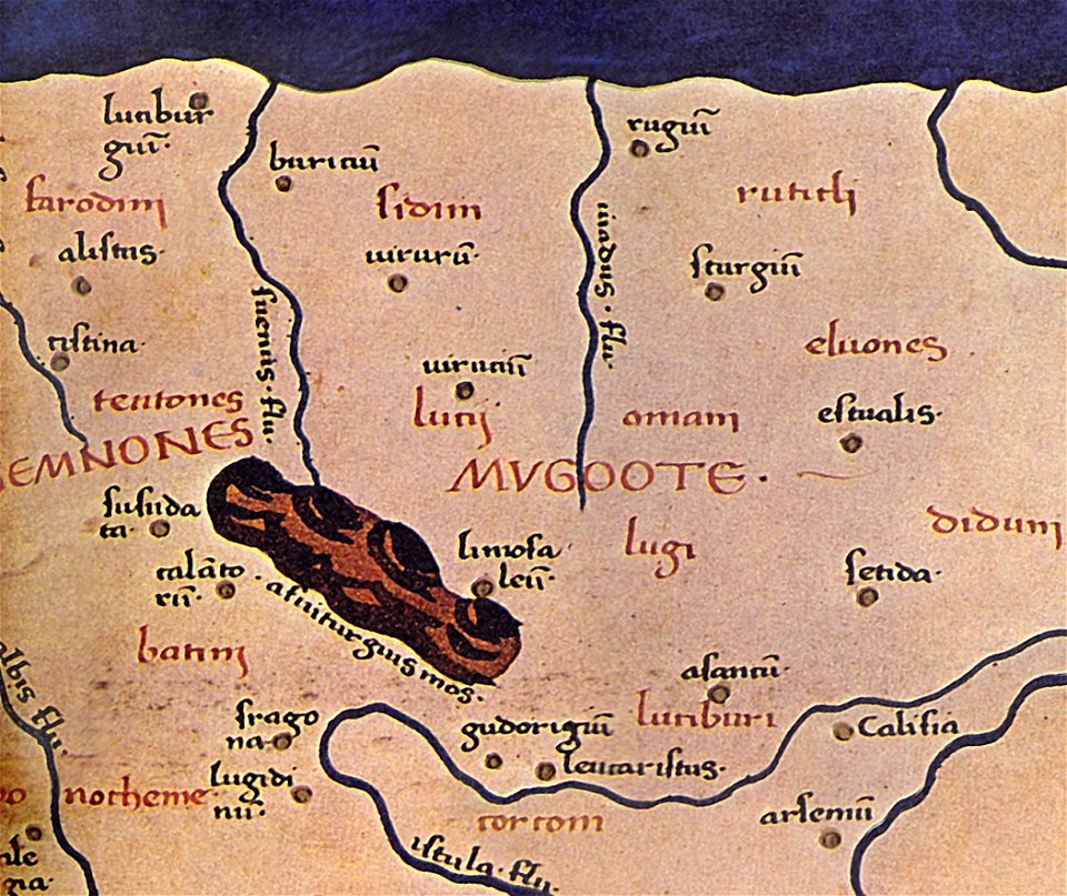
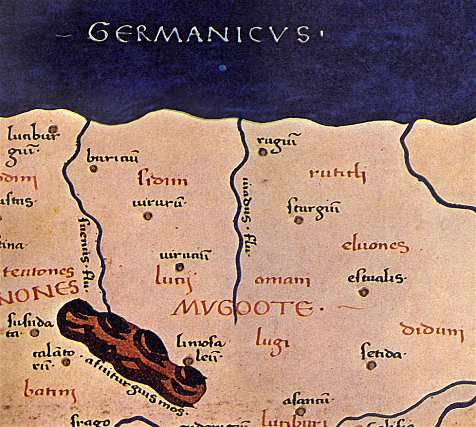
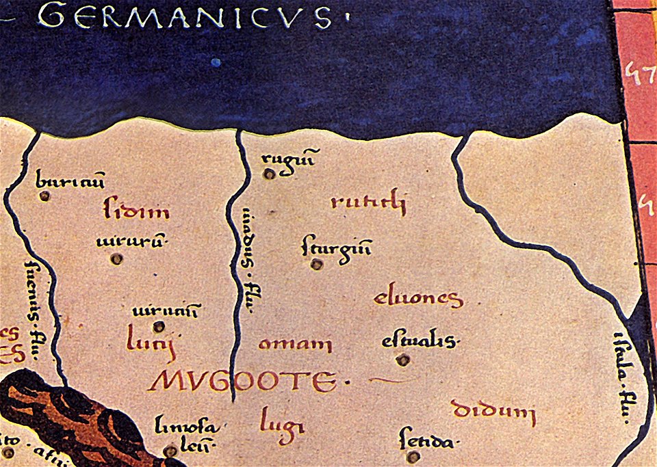
maps of germania magna
donnus nicolaus germanus
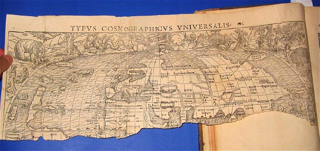
cosmographia (1600) by sebastian münster
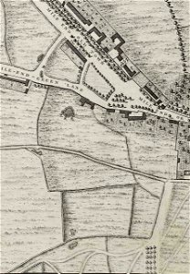
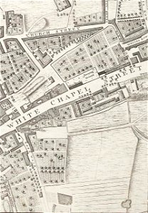
john rocque's 1746 map of london
albert ruger
illustrations of cosmographia (münster)
old maps of the world
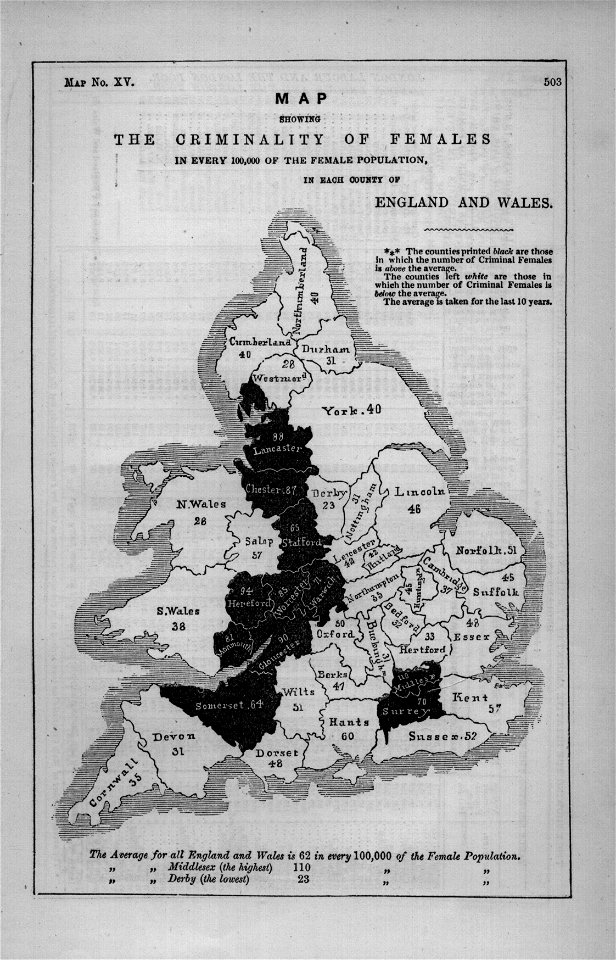
maps in london labour and the london poor (1851)
cosmographia (1600) by sebastian münster
old map
maps of germania magna
details of old maps
maps by samuel nienborg
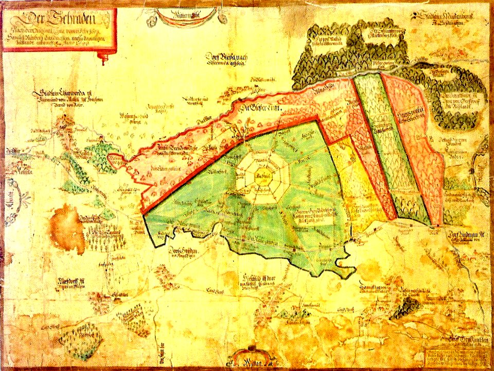
maps of schraden
maps of germania magna
details of old maps
charts and maps of the royal museums greenwich
1682 maps
charts and maps of the royal museums greenwich
1682 maps
charts and maps of the royal museums greenwich
1682 maps
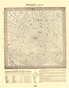
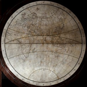
old celestial maps
maps in the library of congress
1760 maps
charts and maps of the royal museums greenwich
1682 maps
maps by wolfgang lazius
maps from burzenland
charts and maps of the royal museums greenwich
1682 maps
maps of germania magna
details of old maps
maps of germania magna
details of old maps
charts and maps of the royal museums greenwich
1682 maps
self-published work
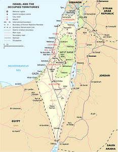
israel
maps in the library of congress
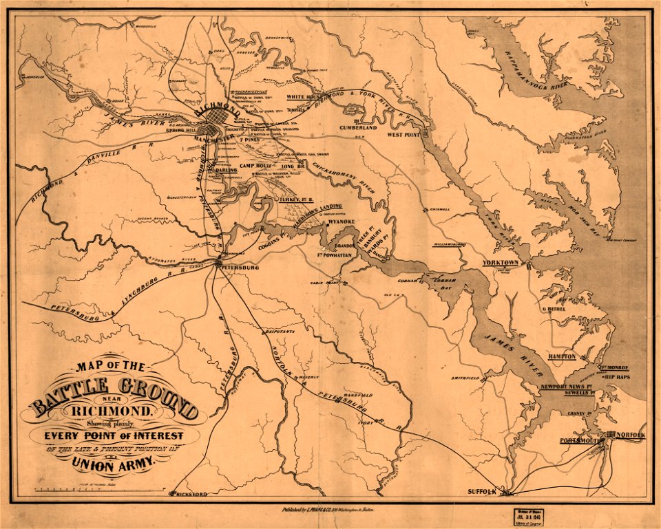
1862 maps of virginia
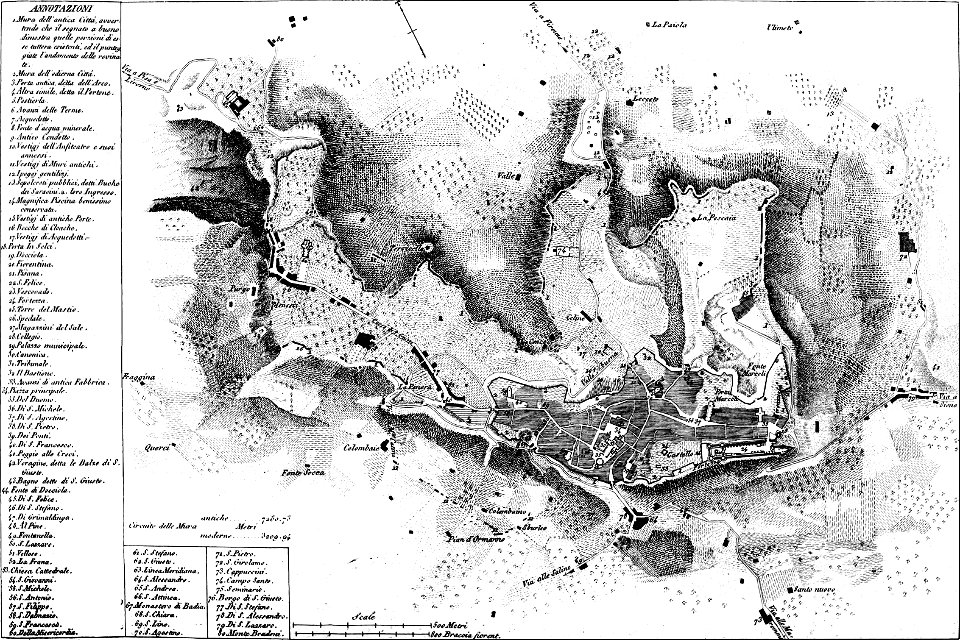
maps of archaeological sites in italy
old maps of tuscany
charts and maps of the royal museums greenwich
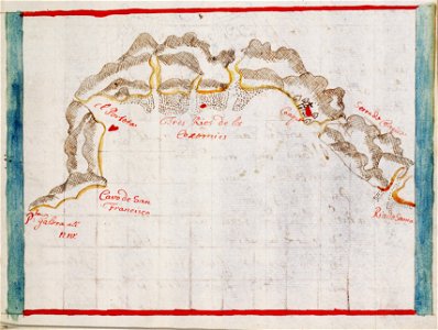
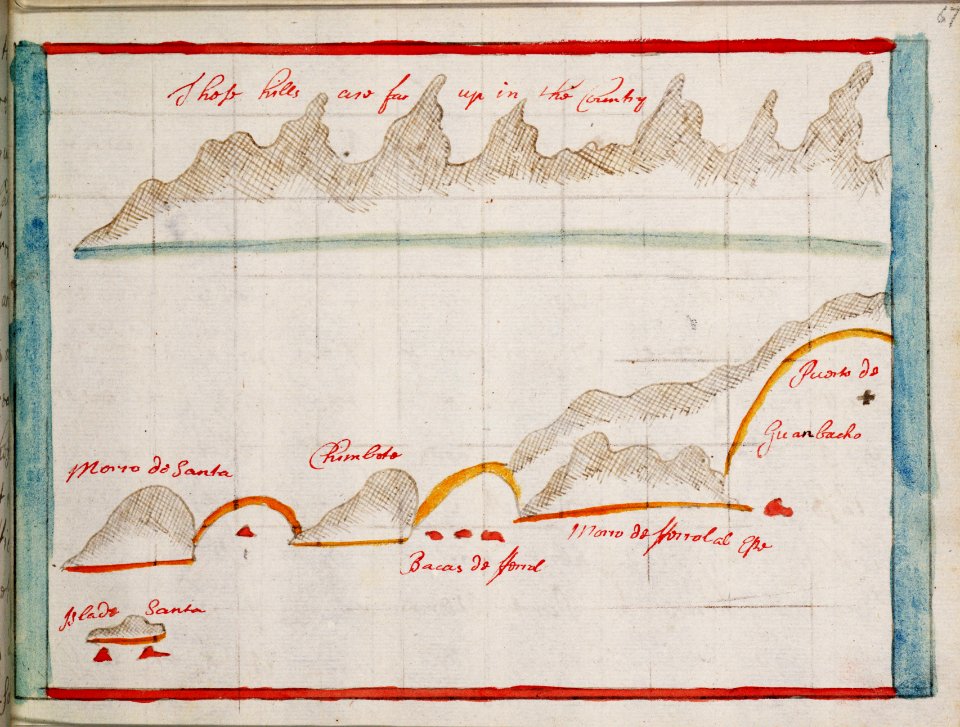
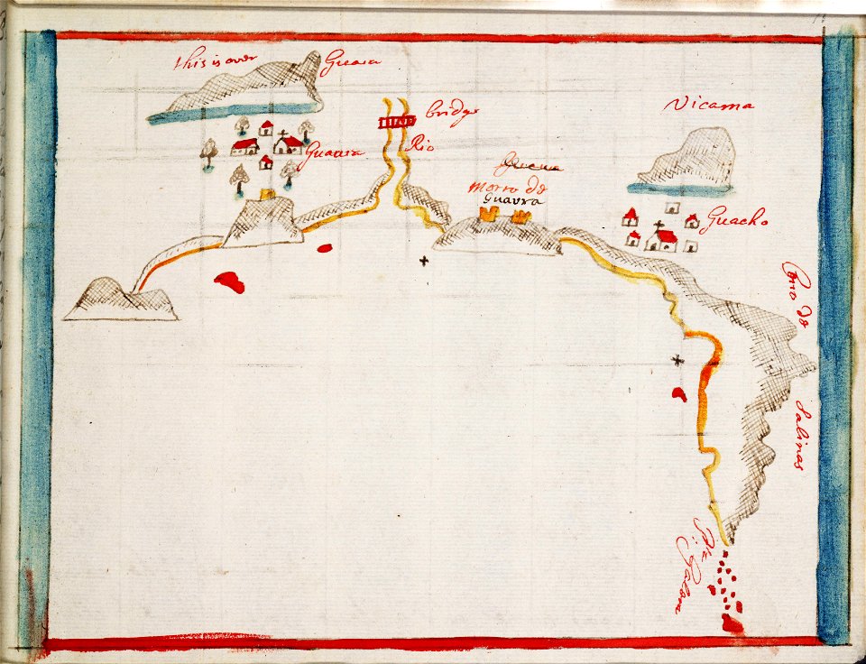
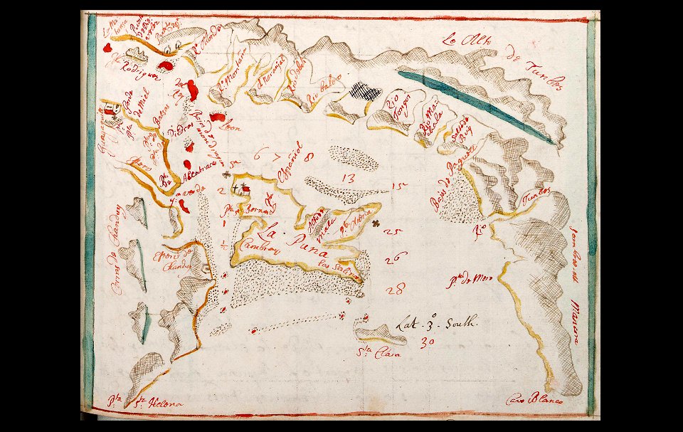
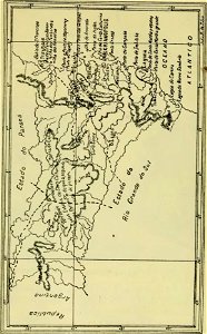
old maps of ecuador
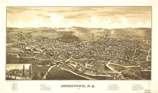
johnstown
new york
maps in the library of congress
georgia
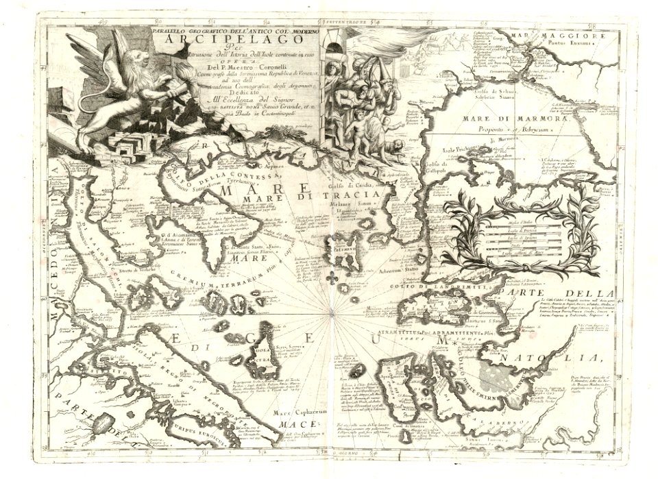
maps of the sea of marmara
vincenzo coronelli
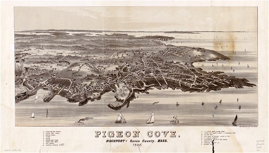
massachusetts
pigeon cove
massachusetts
pigeon cove
symbol
maps
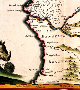
benguela
luanda
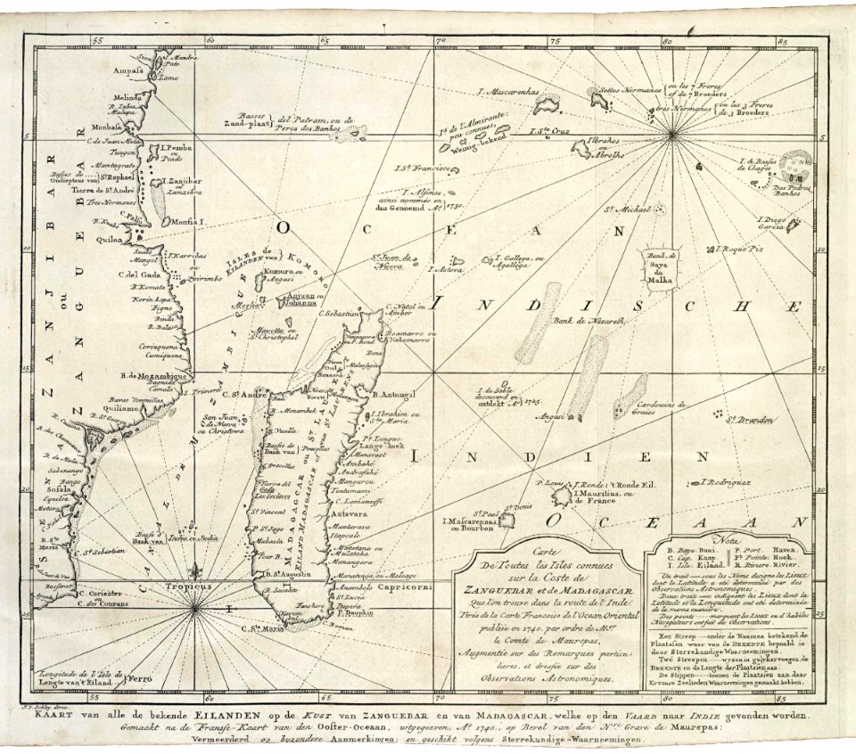
maps of the dutch east india company - madagascar
1747)
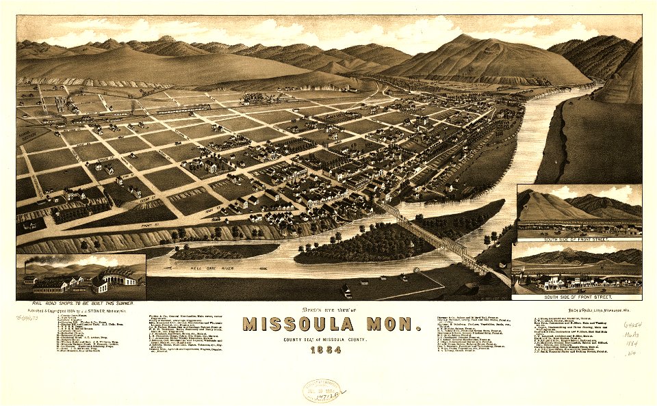
missoula
montana
illustrated battles of the nineteenth century
1895 drawings
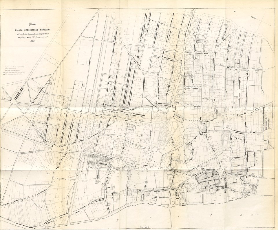
historical maps of warsaw
1862 maps
maps in the library of congress
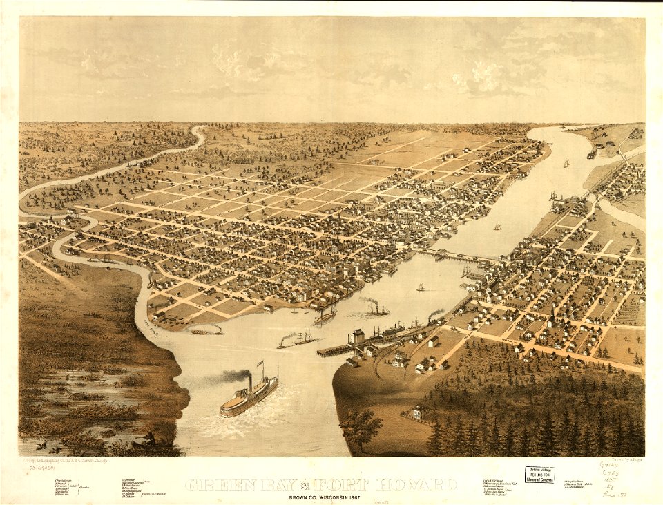
1867 maps
us states
maps
allegories of the four elements
islands of california
maps in the library of congress
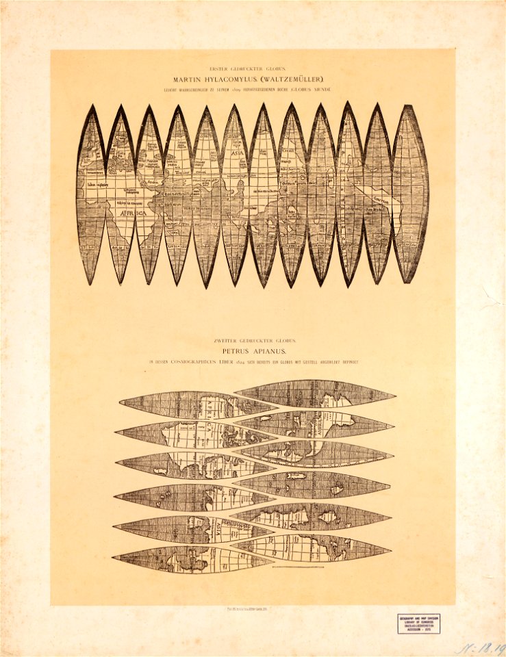
maps by martin waldseemüller
maps of the dutch republic
nicolaes van geelkercken
latin-language maps
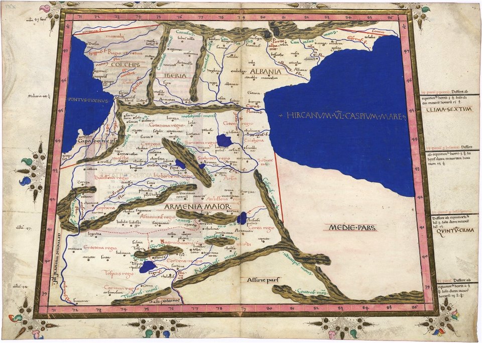
armenian
arrow
maps
maps
flag
david rumsey historical map collection
fur garments in art
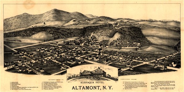
new york
altamont
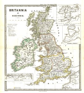
old maps of the british isles
karl spruner von merz
maps made in the 17th century
maps by nicolaes visscher i
maps in the library of congress
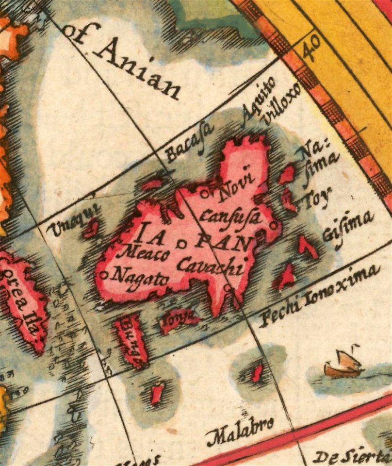
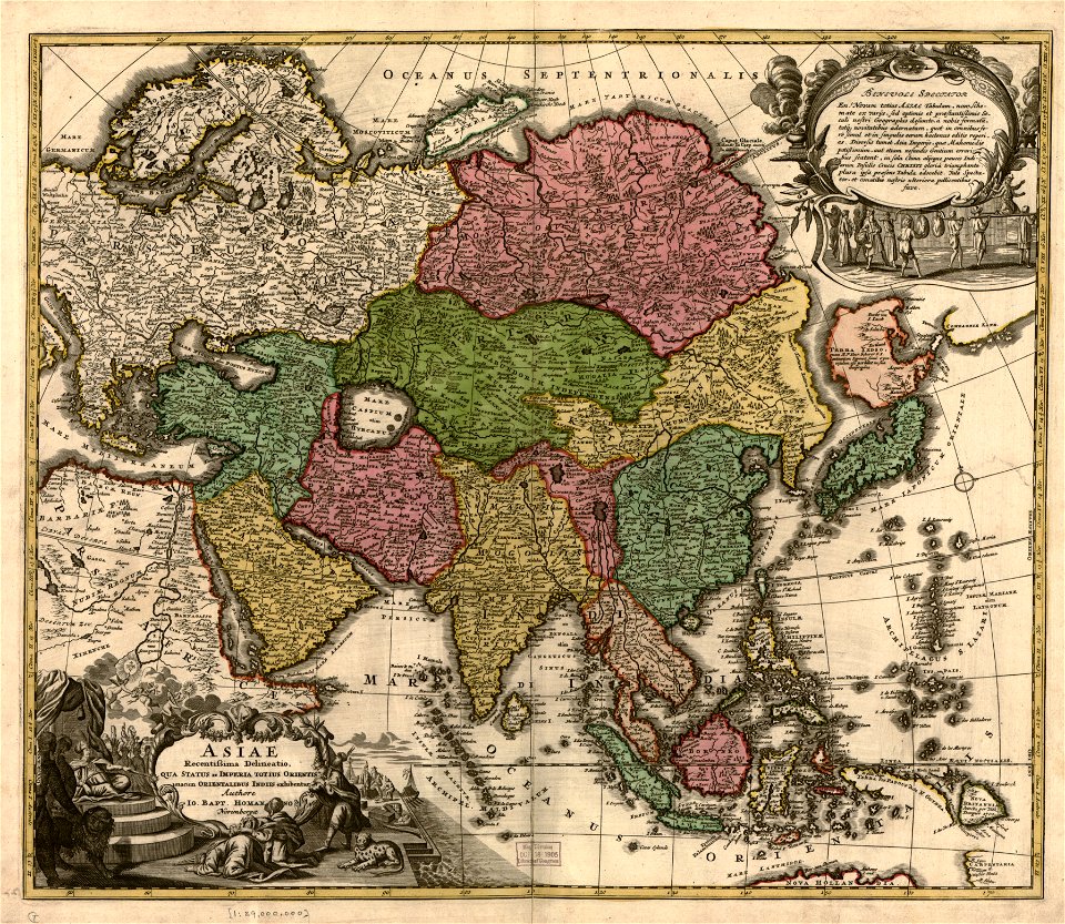
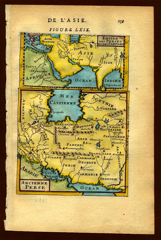
old maps of asia
victor levasseur - maps of the world
old maps of asia
maps in the library of congress
albert ruger
maps in the library of congress
1867 maps
maps in the library of congress
albert ruger
maps by thomas jefferys
old maps of florida
maps in the library of congress
georgia
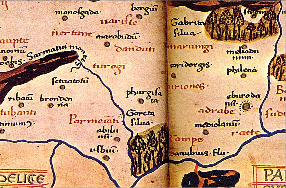
ptolemy's 10th european map
maps by sebastian münster
charts and maps of the royal museums greenwich
1682 maps
description de l'universe
old maps of asia
description de l'universe
old maps of china
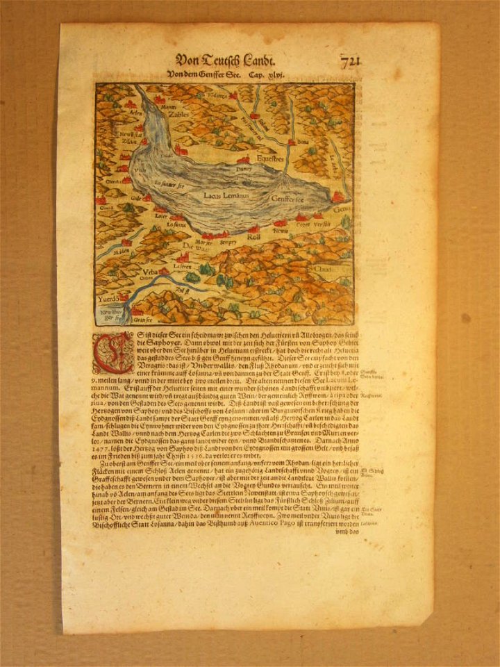
maps of schleswig-holstein in the atlas maior
maps by johannes mejer
charts and maps of the royal museums greenwich
1682 maps
engravings by matthäus merian
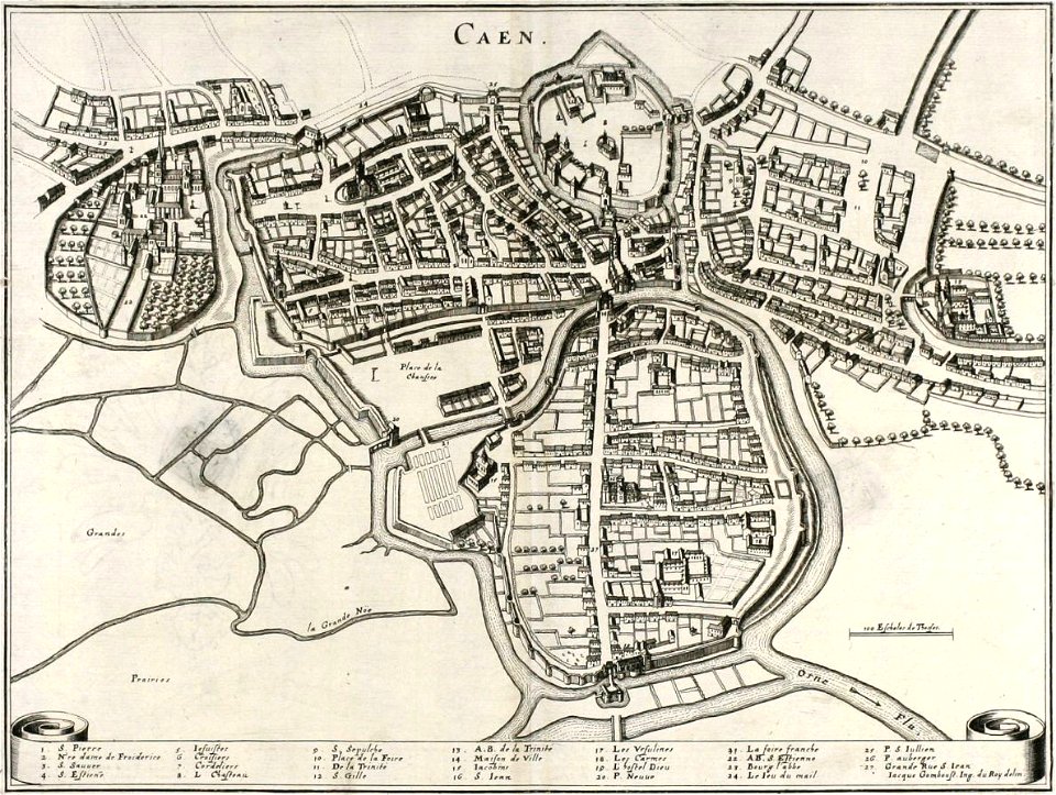
old maps of caen
1740s maps of the world
burgerzaal map
maps in the library of congress
old maps of luxembourg
maps in the library of congress
1889 maps
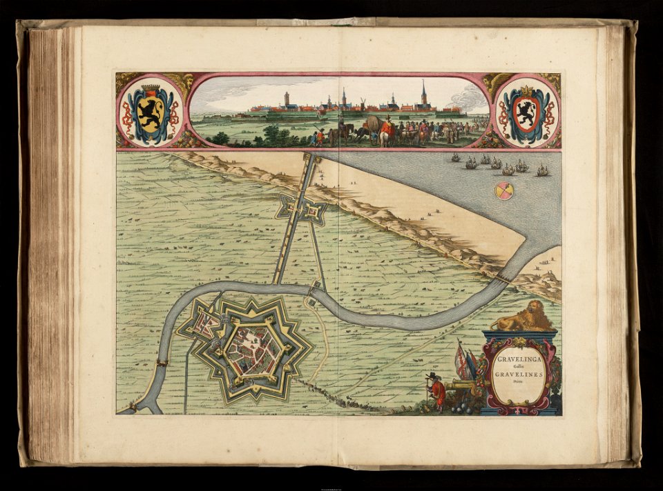
maps of gravelines city wall
old maps of gravelines
maps of germania magna
details of old maps
maps of germania magna
details of old maps
charts and maps of the royal museums greenwich
1682 maps
charts and maps of the royal museums greenwich
1682 maps
description de l'universe
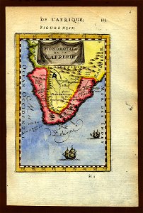
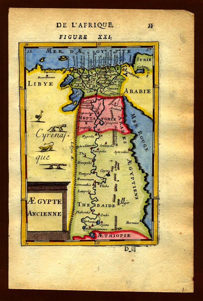
1719 maps of africa
description de l'universe
1683 maps of africa
old maps of santa catarina
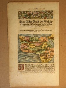
cosmographia (1600) by sebastian münster
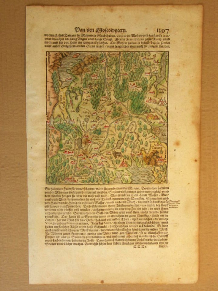
old maps of moscow
cosmographia (1600) by sebastian münster
old map
cosmographia (1600) by sebastian münster
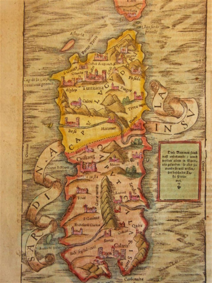
old maps of sardinia
description de l'universe
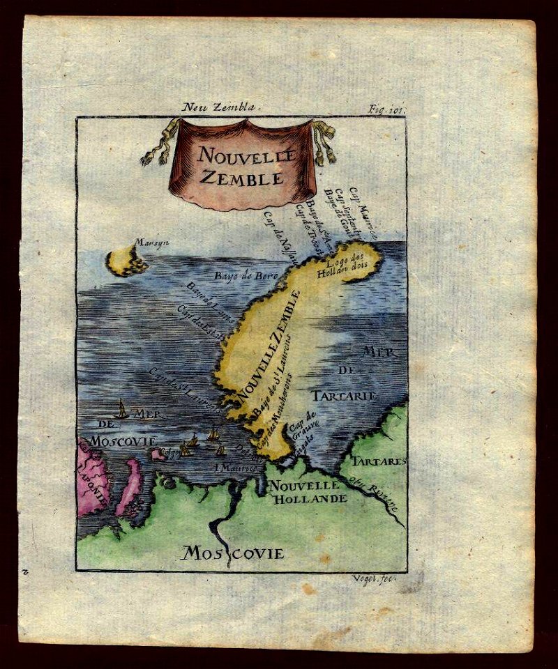
maps of novaya zemlya
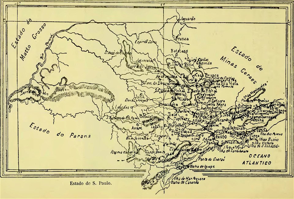
old maps of são paulo
maps of polders in north holland
maps of haarlemmermeer
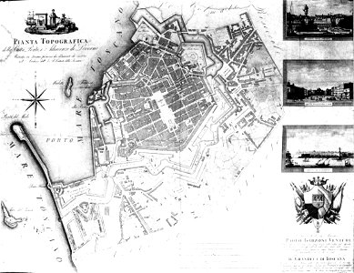
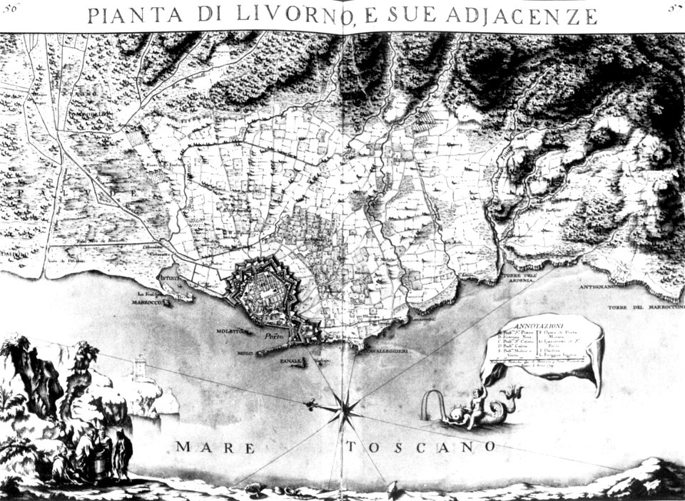
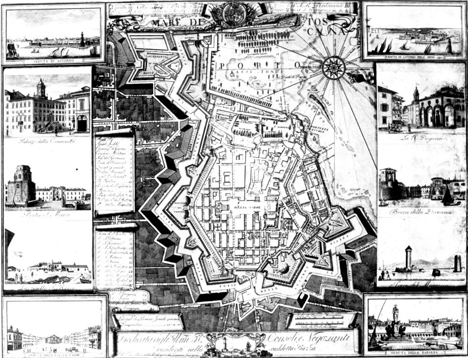
old maps of livorno
old maps of livorno
livorno
old maps of livorno
old maps of livorno
maps of germania magna
details of old maps
cosmographia (1600) by sebastian münster
1600s maps of africa
description de l'universe
1680s maps of egypt
17th-century maps of france
description de l'universe
cosmographia (1600) by sebastian münster
maps of the history of france
description de l'universe
old maps of saudi arabia
description de l'universe
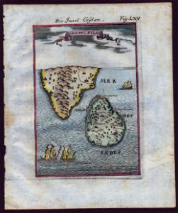
old maps of sri lanka
harrewijn
1785
geographical illustrations by coronelli
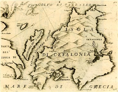
maps of kefalonia
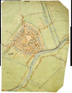
map of gouda by jacob van deventer
description de l'universe
1683 maps of iran
cosmographia (1600) by sebastian münster
old maps of friesland
charts and maps of the royal museums greenwich
1682 maps
maps of germania magna
details of old maps
charts and maps of the royal museums greenwich
1682 maps
john rocque's 1746 map of london
john rocque's 1746 map of london
john rocque's 1746 map of london
john rocque's 1746 map of london
john rocque's 1746 map of london
john rocque's 1746 map of london
6401 - 6500 of 357,629
Next page
/ 3577