Log in
All resources
Create a design
Tools
357,629 Free Images of Maps
maps in the library of congress
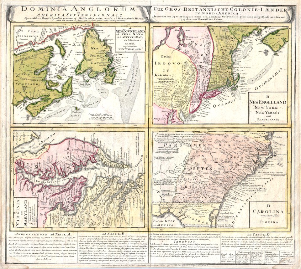
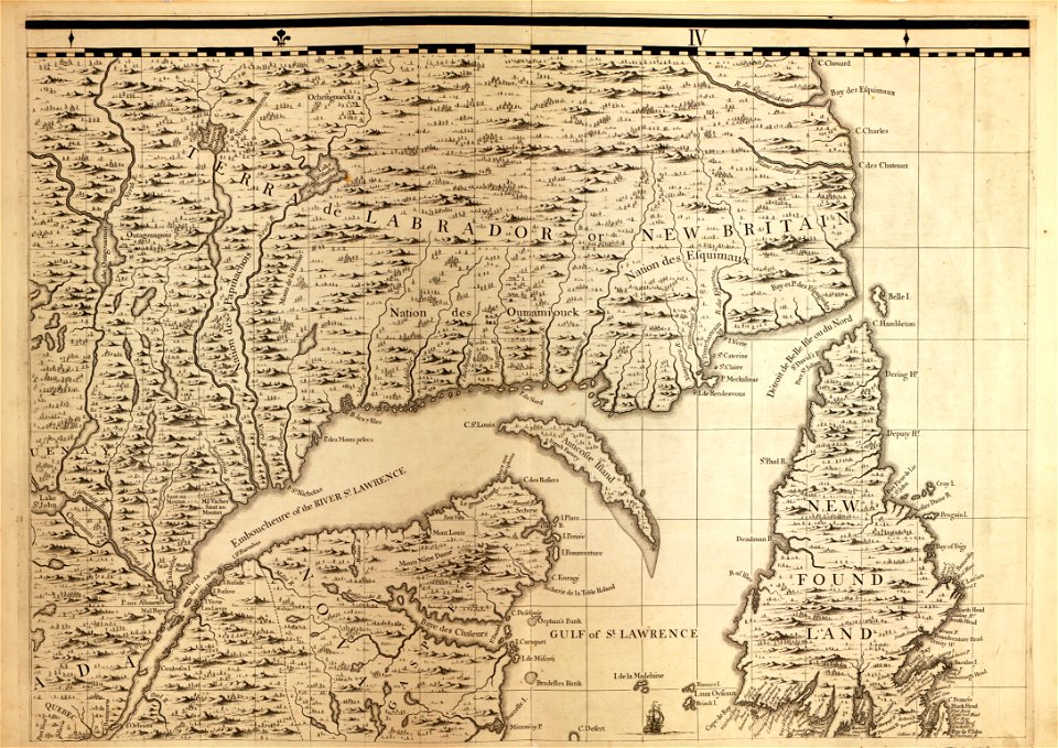
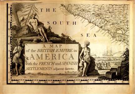
a map of the british empire in america with the french and spanish settlements adjacent thereto
description de l'universe
charts and maps of the royal museums greenwich
1682 maps
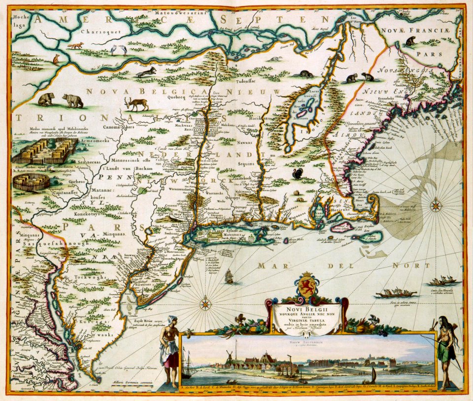
maps of the west-indische compagnie
maps in the british museum
new york
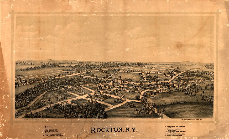
town maps by l. r. burleigh
l. r. burleigh
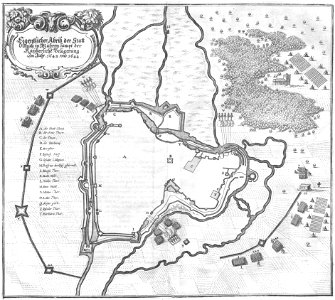
olomouc fortress
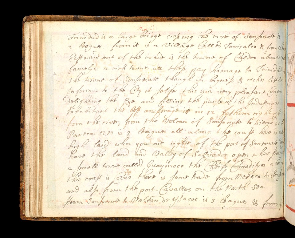
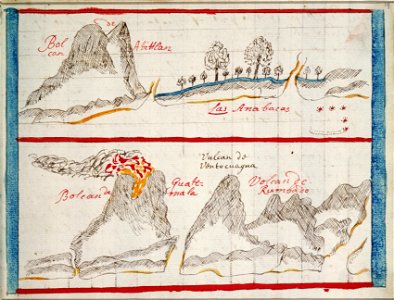
1644
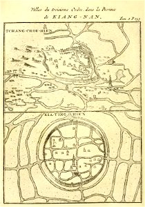
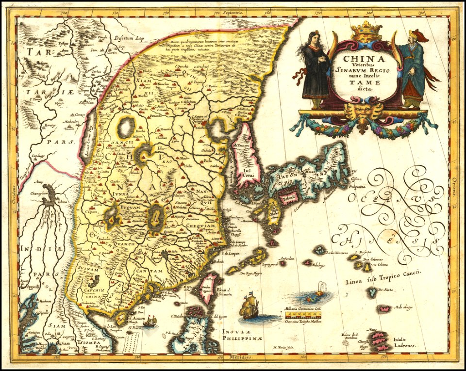
french-language maps of china
changzhou
old maps of alabama
old maps of florida
maps by nicolas sanson
gerard valck
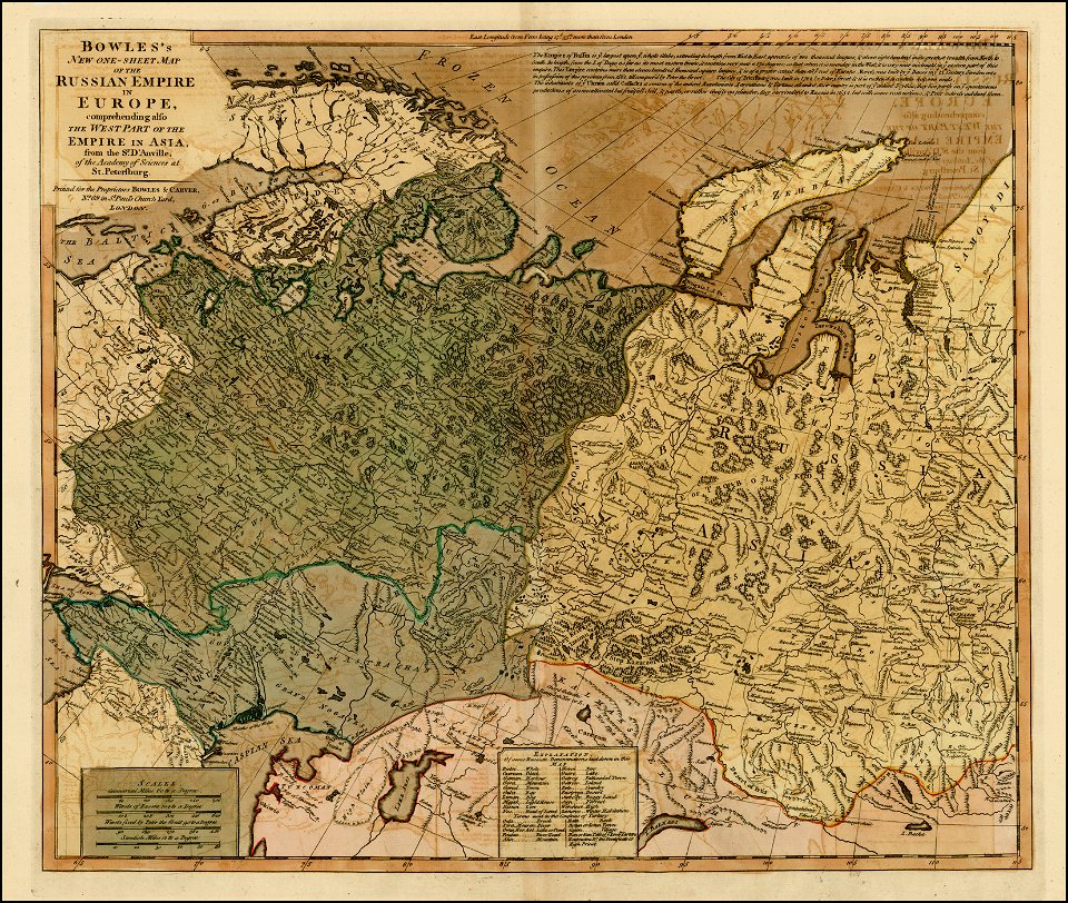
old maps of the russian empire
carrington bowles
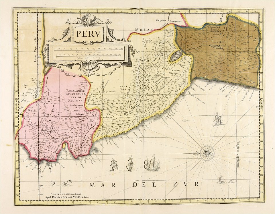
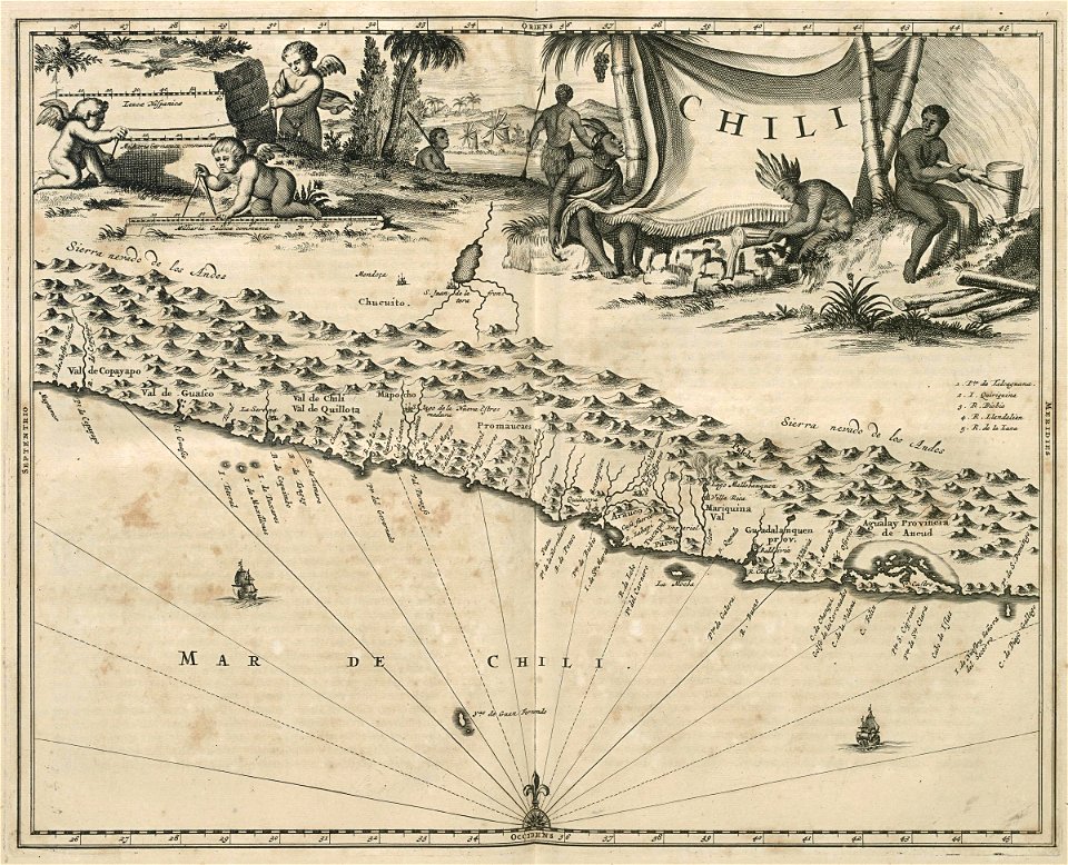
old maps of peru
gerard valck
maps in the library of congress
new york
new york
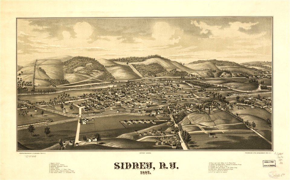
sidney
new york
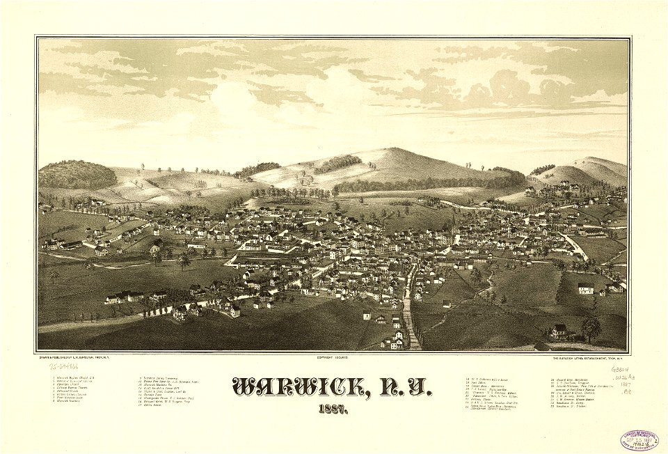
warwick
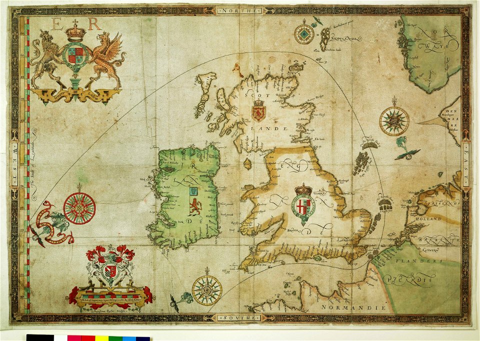
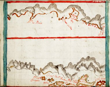
the track of the armada around britain and ireland
charts and maps of the royal museums greenwich
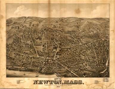
massachusetts
o. h. bailey
maps made in the 17th century
maps by nicolaes visscher i
maps in the library of congress
new york
atlantis magni tomus quintus (biblioteca comunale di trento)
maps made in the 18th century
johann baptist homann
latin-language maps
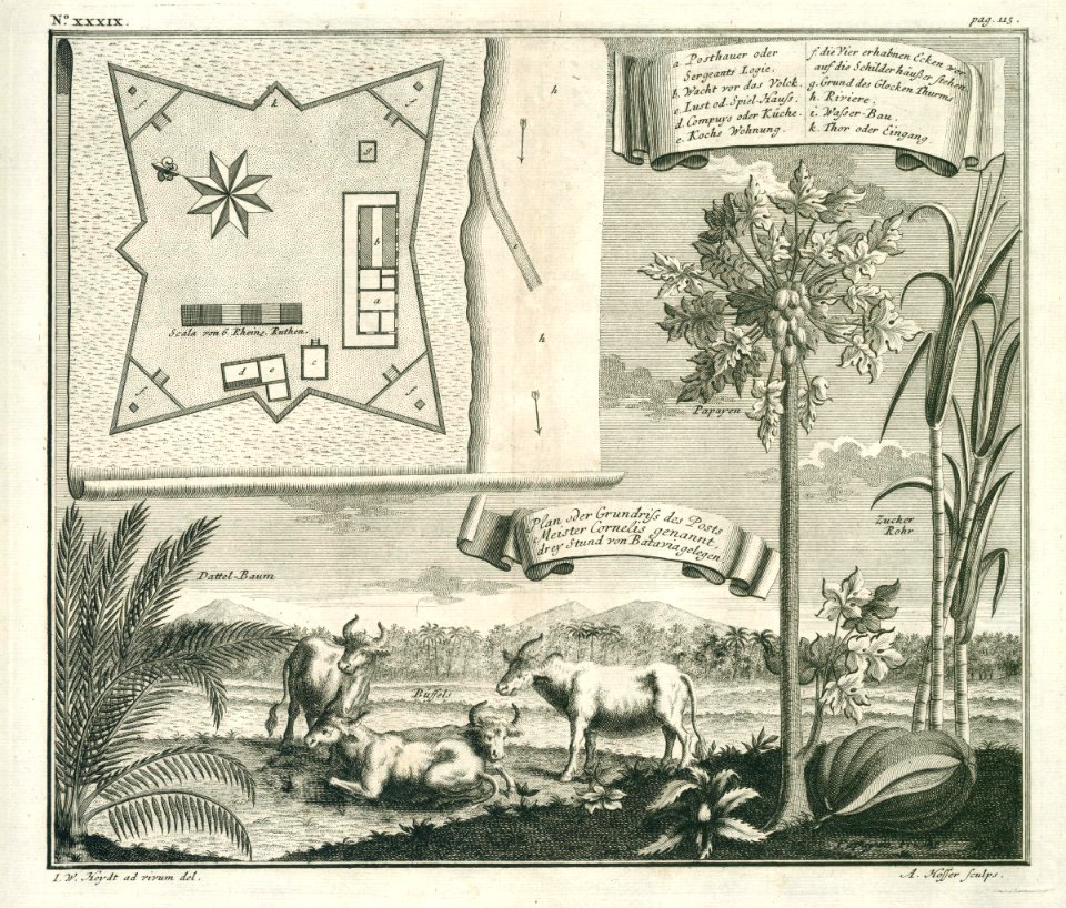
17th-century maps of indonesia
1614
maps and topographical views by joris hoefnagel
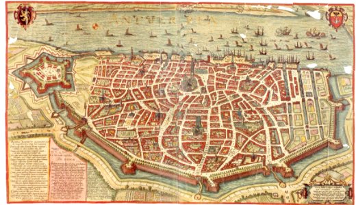
maps of antwerp
new york
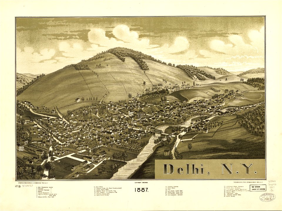
delhi
18th-century maps of indonesia
1744
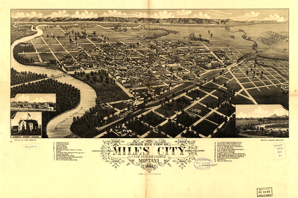
miles city
montana
maps in the library of congress
new york
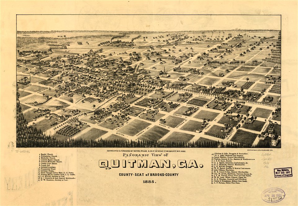
georgia
quitman
a map of the british empire in america with the french and spanish settlements adjacent thereto
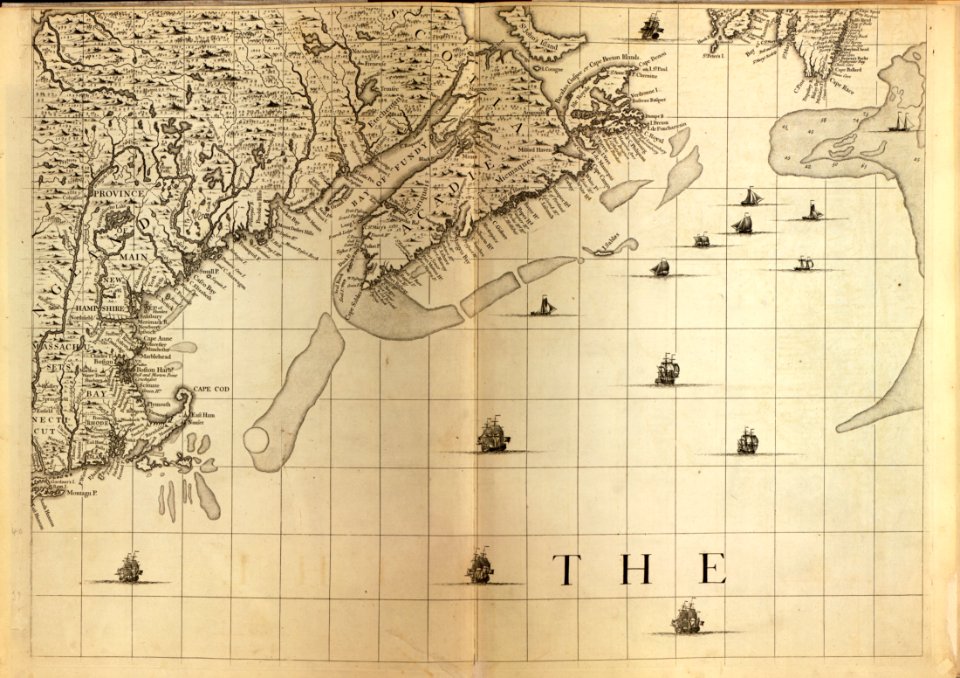
maps in the library of congress
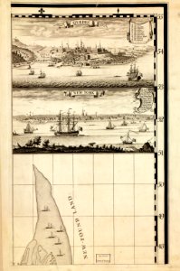
a map of the british empire in america with the french and spanish settlements adjacent thereto
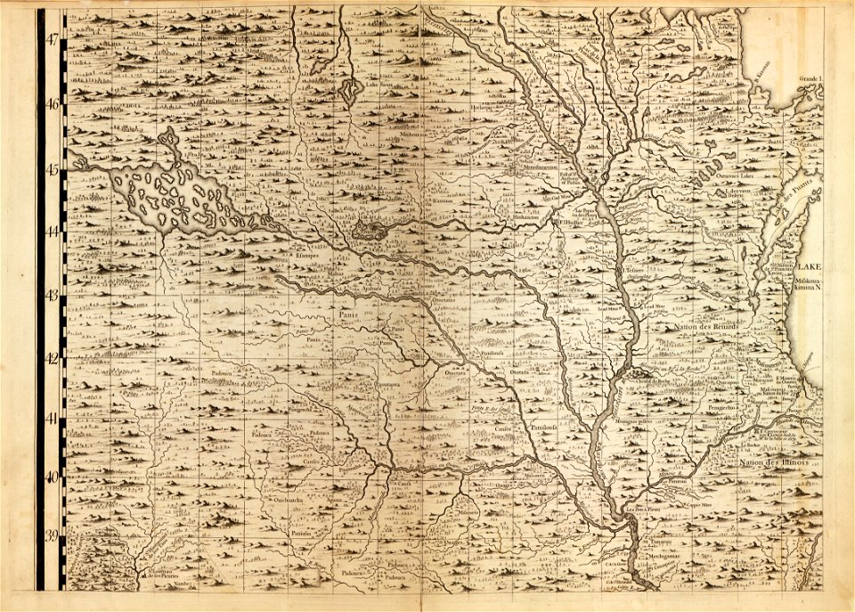
maps in the library of congress
a map of the british empire in america with the french and spanish settlements adjacent thereto
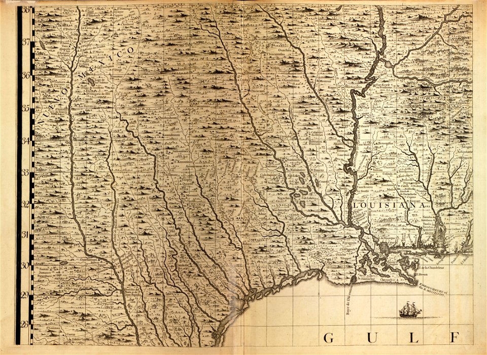
maps in the library of congress
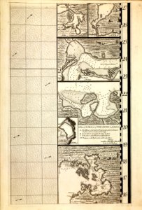
a map of the british empire in america with the french and spanish settlements adjacent thereto
maps in the library of congress
a map of the british empire in america with the french and spanish settlements adjacent thereto
maps in the library of congress
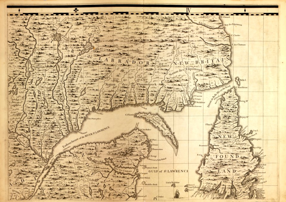
a map of the british empire in america with the french and spanish settlements adjacent thereto
maps in the library of congress
a map of the british empire in america with the french and spanish settlements adjacent thereto
maps in the library of congress
a map of the british empire in america with the french and spanish settlements adjacent thereto
maps in the library of congress
a map of the british empire in america with the french and spanish settlements adjacent thereto
maps in the library of congress
a map of the british empire in america with the french and spanish settlements adjacent thereto
maps in the library of congress
a map of the british empire in america with the french and spanish settlements adjacent thereto
maps in the library of congress
a map of the british empire in america with the french and spanish settlements adjacent thereto
maps in the library of congress
a map of the british empire in america with the french and spanish settlements adjacent thereto
maps in the library of congress
a map of the british empire in america with the french and spanish settlements adjacent thereto
maps in the library of congress
a map of the british empire in america with the french and spanish settlements adjacent thereto
maps in the library of congress
astronomy
maps
charts and maps of the royal museums greenwich
1682 maps
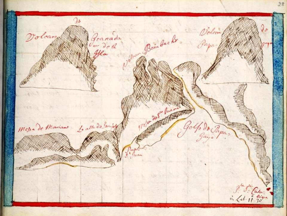
provided by landsbókasafn íslands
maps by giacomo gastaldi
charts and maps of the royal museums greenwich
1682 maps
description de l'universe
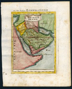
old maps of saudi arabia
17th-century maps of india
description de l'universe
charts and maps of the royal museums greenwich
1682 maps
maps in the british museum
maps in the british museum
maps in the british museum
maps in the british museum
maps in the british museum
maps in the british museum
maps in the british museum
charts and maps of the royal museums greenwich
1682 maps
charts and maps of the royal museums greenwich
1682 maps
charts and maps of the royal museums greenwich
1682 maps
charts and maps of the royal museums greenwich
1682 maps
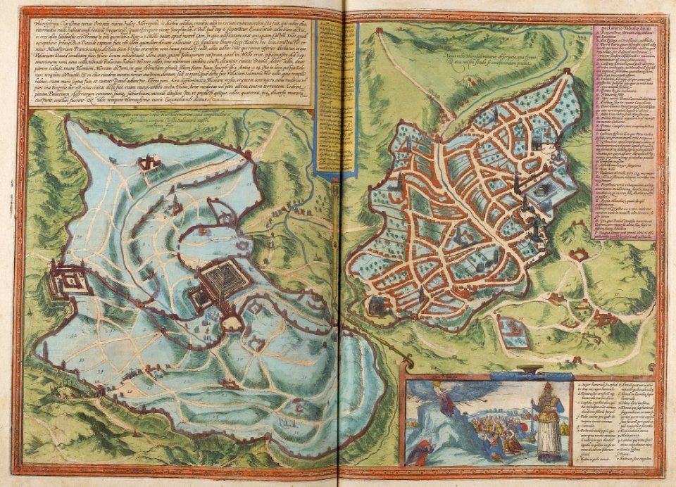
braun & hogenberg
1572 maps
maps in the library of congress
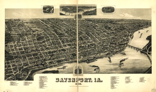
1888 maps of iowa
matthäus merian
1636 maps
maps of the west-indische compagnie
1705
maps of the west-indische compagnie
1630
maps of the west-indische compagnie
1665
maps of the west-indische compagnie
1671
maps of the west-indische compagnie
1671
maps of the west-indische compagnie
1646
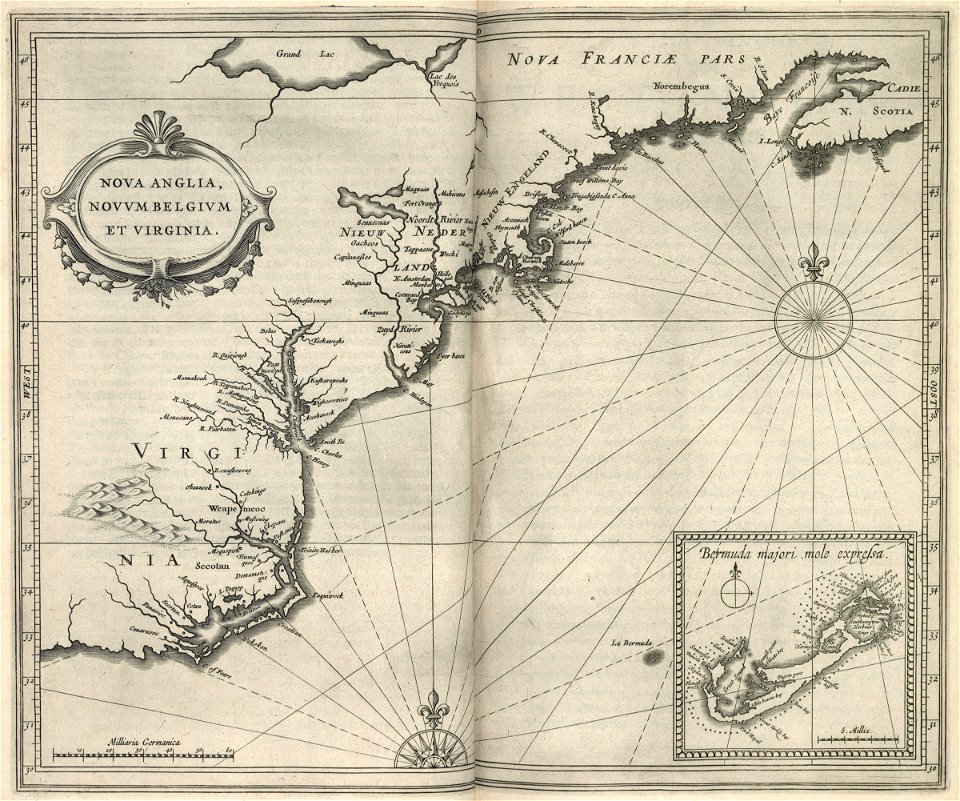
old maps of new england
1684
maps of the west-indische compagnie
1716
maps of the west-indische compagnie
1647
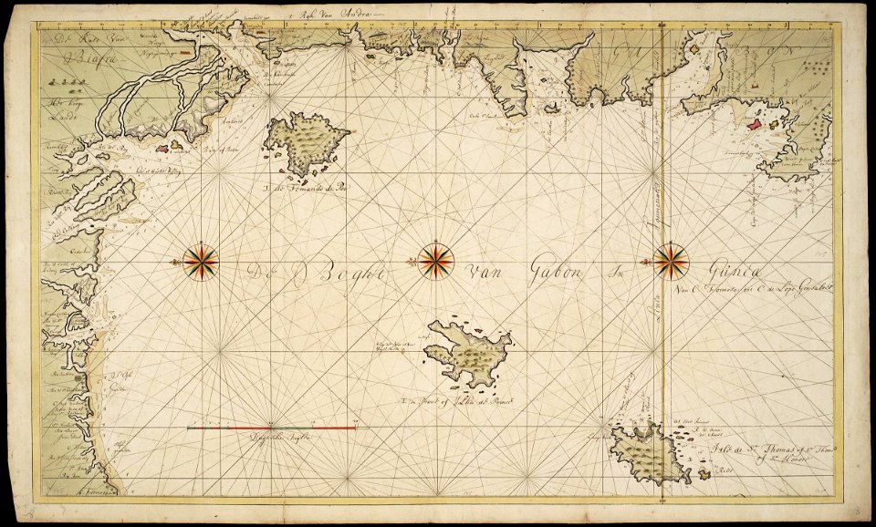
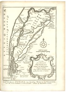
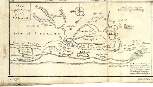
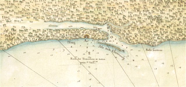
maps of the senegal river
1747)
maps of the west-indische compagnie
1772
maps of the senegal river
1745
map of ghent by jan blaeu
atlas van loon
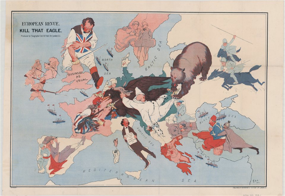
20th-century satirical maps
1914 maps of europe
mississippi
biloxi
old maps of livorno
description de l'universe
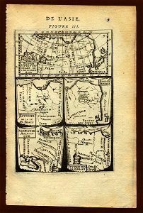
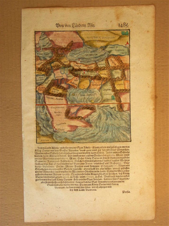
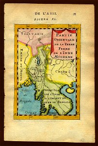
old maps of asia
description de l'universe
old maps of saudi arabia
description de l'universe
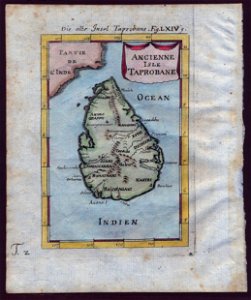
old maps of sri lanka
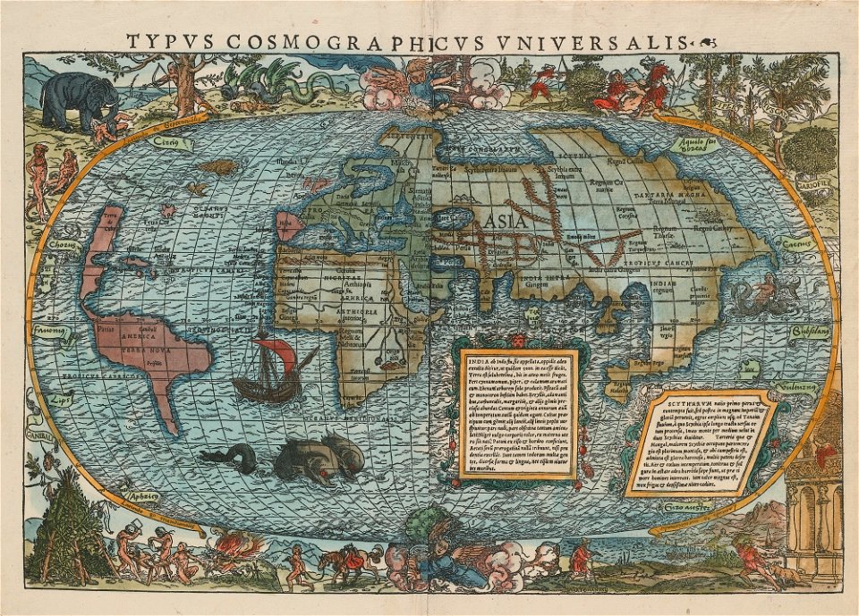
cosmographia (1600) by sebastian münster
1600 maps of iran
description de l'universe
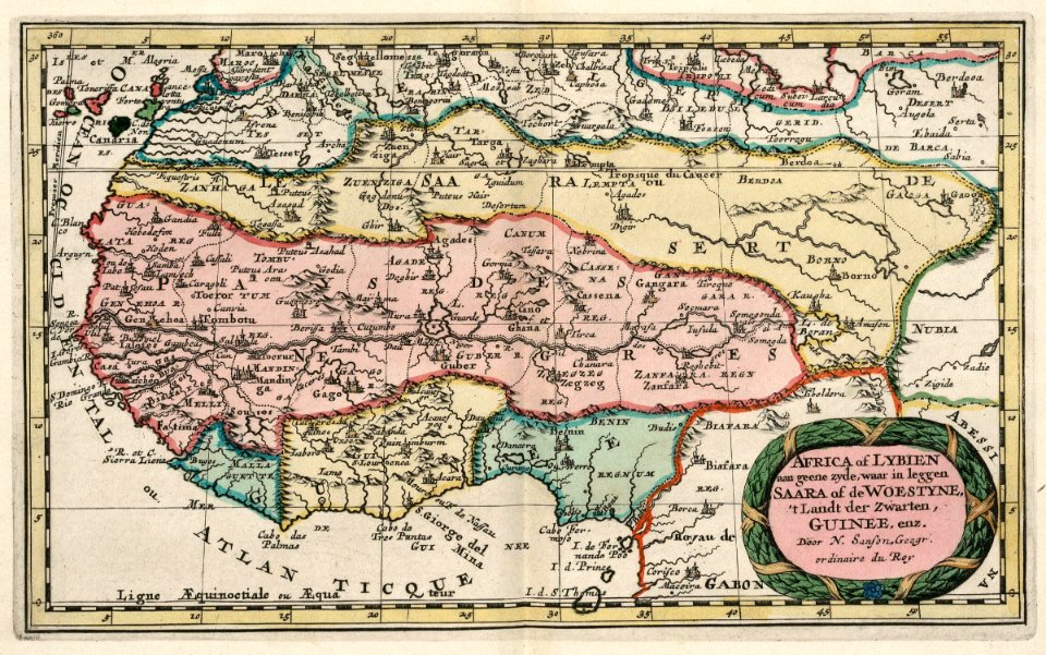
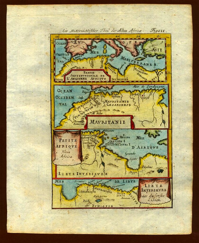
1683 maps of africa
description de l'universe
old maps of asia
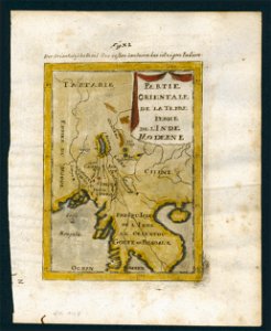
old maps of southeast asia
description de l'universe
old maps of southeast asia
description de l'universe
cosmographia (1600) by sebastian münster
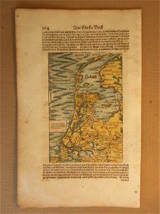
1600 maps of the netherlands
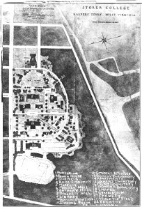
storer college
west virginia
description de l'universe
old maps of africa
old maps of southeast asia
description de l'universe
description de l'universe
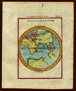
1710s maps of the world
description de l'universe
1710s maps of the world
description de l'universe
1710s maps of the world
description de l'universe
old maps of the world
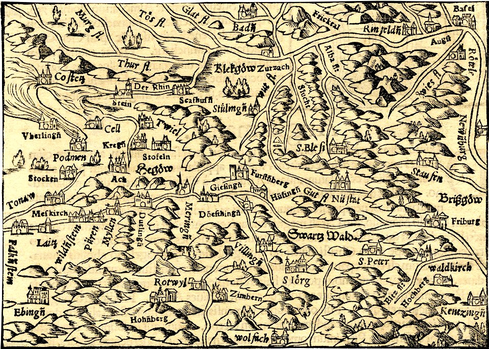
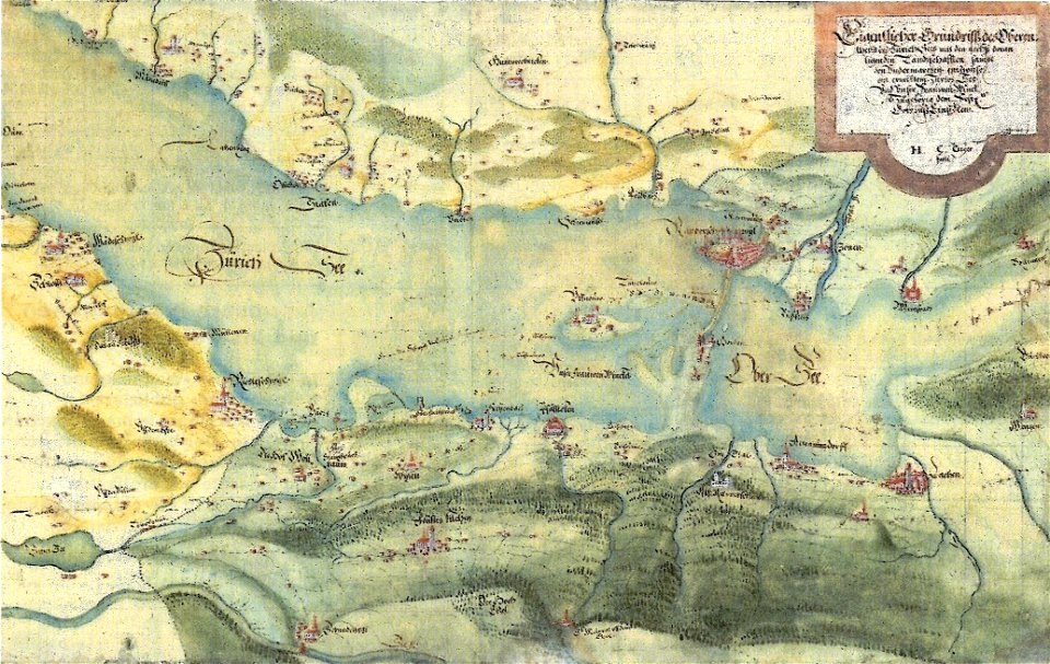
old maps of zürichsee
gygerkarte
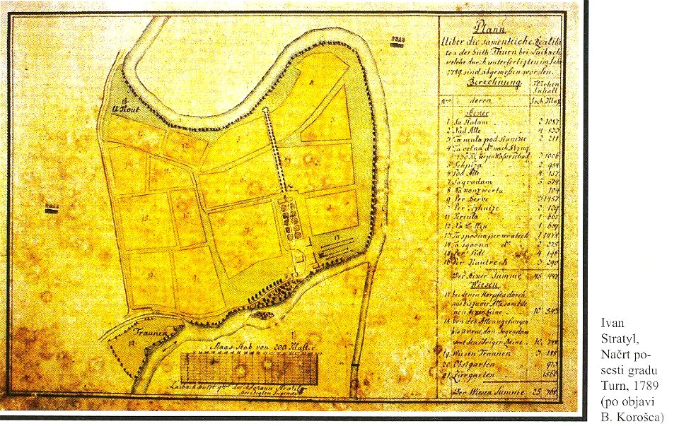
18th-century maps of slovenia
kodeljevo park
charts and maps of the royal museums greenwich
1682 maps
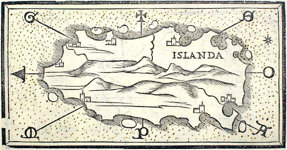
provided by landsbókasafn íslands
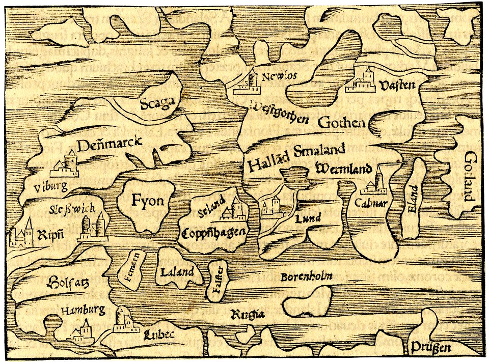
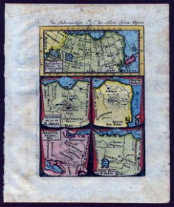
16th-century maps of iceland
charts and maps of the royal museums greenwich
1682 maps
charts and maps of the royal museums greenwich
1682 maps
provided by landsbókasafn íslands
maps by giacomo gastaldi
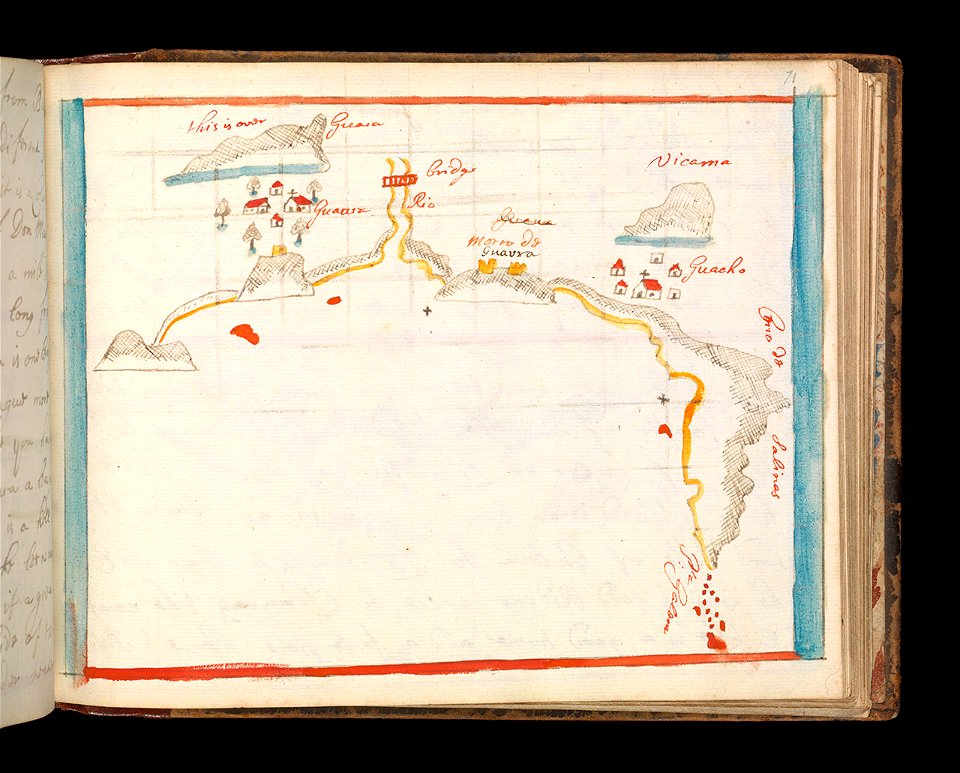
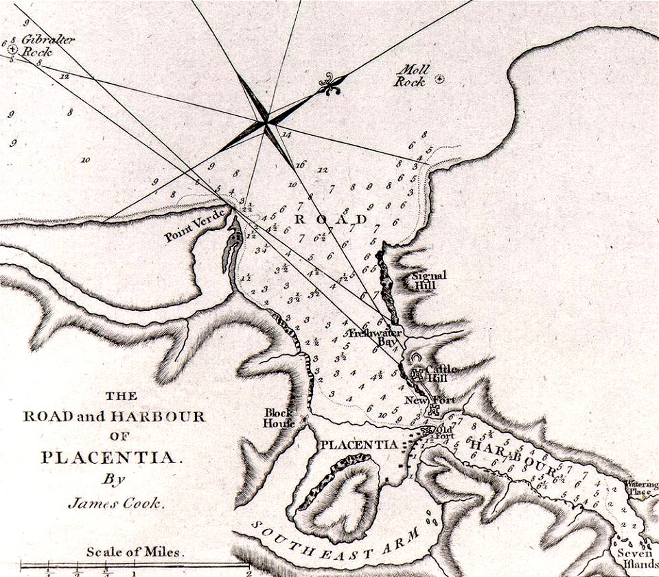
james cook (maps relating to)
old maps of newfoundland
james cook (maps relating to)
old maps of newfoundland
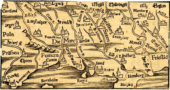
16th-century maps of the world
maps by sebastian münster
6601 - 6700 of 357,629
Next page
/ 3577