Log in
All resources
Create a design
Tools
357,629 Free Images of Maps
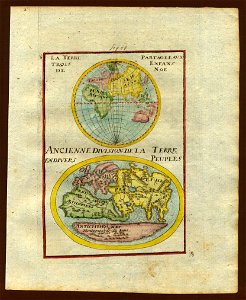
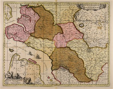
description de l'universe
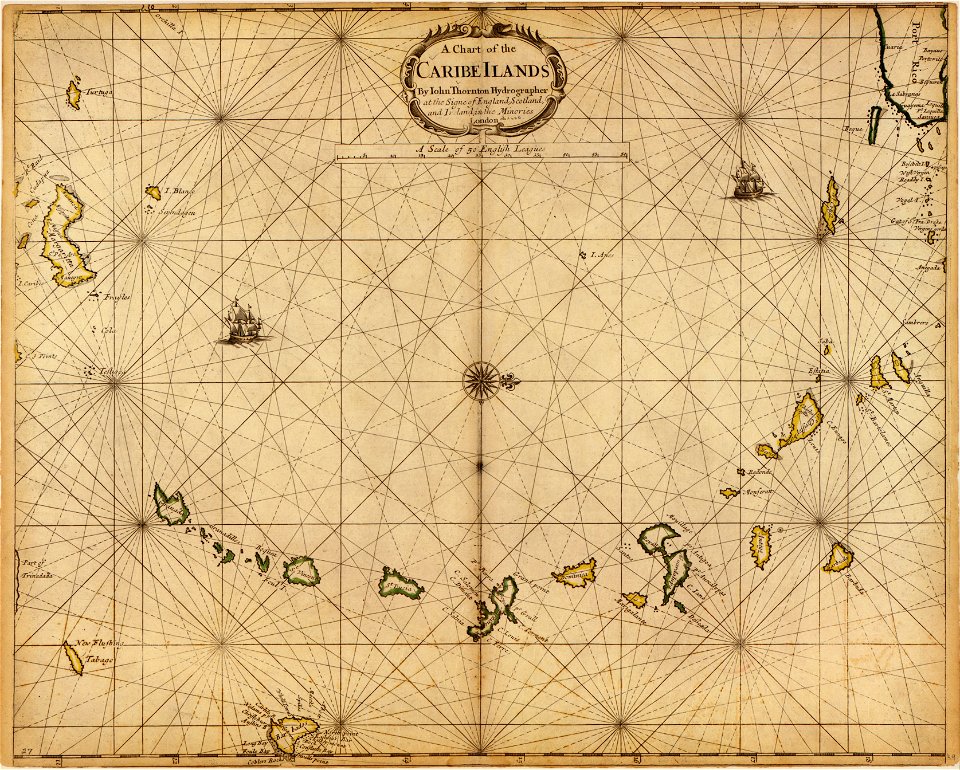
charts and maps of the royal museums greenwich
maps in the library of congress
1682 maps
a map of the british empire in america with the french and spanish settlements adjacent thereto
maps of the west-indische compagnie
maps in the british museum
old maps of southeast asia
1710s maps of the world
james cook (maps relating to)
charts and maps of the royal museums greenwich
1682 maps
description de l'universe
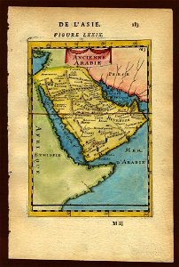
old maps of saudi arabia
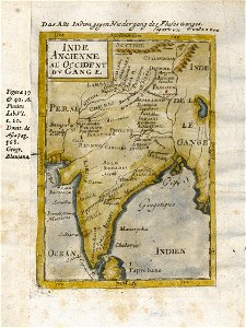
17th-century maps of india
description de l'universe
charts and maps of the royal museums greenwich
1682 maps
maps in the british museum
maps in the british museum
maps in the british museum
maps in the british museum
maps in the british museum
maps in the british museum
maps in the british museum
charts and maps of the royal museums greenwich
1682 maps
charts and maps of the royal museums greenwich
1682 maps
charts and maps of the royal museums greenwich
1682 maps
charts and maps of the royal museums greenwich
1682 maps
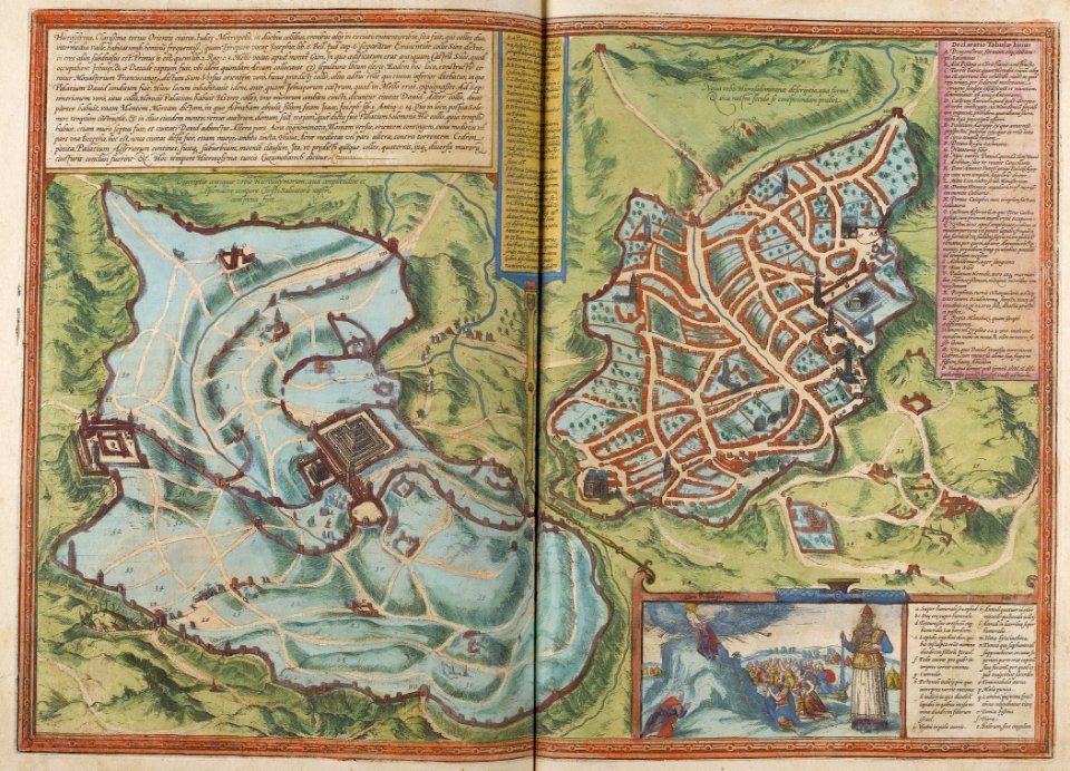
braun & hogenberg
1572 maps
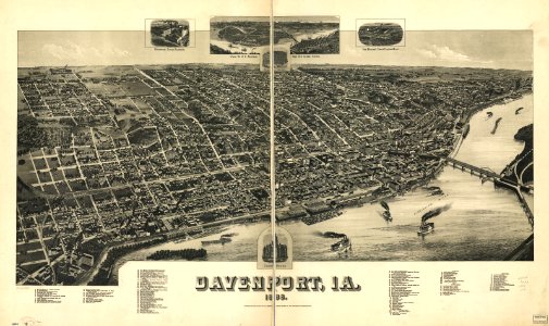
maps in the library of congress
1888 maps of iowa
matthäus merian
1636 maps
maps of the west-indische compagnie
1705
maps of the west-indische compagnie
1630
maps of the west-indische compagnie
1665
maps of the west-indische compagnie
1671
maps of the west-indische compagnie
1671
maps of the west-indische compagnie
1646
old maps of new england
1684
maps of the west-indische compagnie
1716
maps of the west-indische compagnie
1647
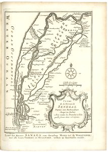
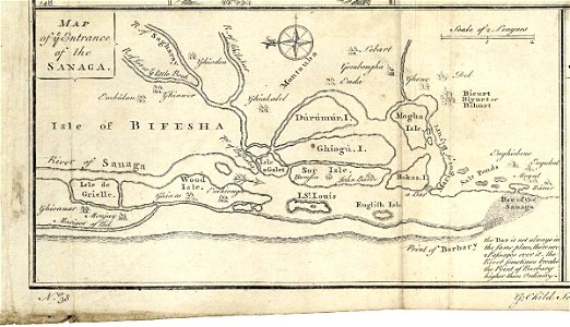
maps of the senegal river
1747)
maps of the west-indische compagnie
1772
maps of the senegal river
1745
map of ghent by jan blaeu
atlas van loon
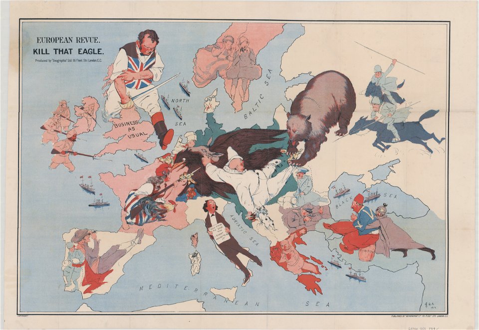
20th-century satirical maps
1914 maps of europe
mississippi
biloxi
old maps of livorno
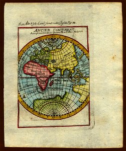
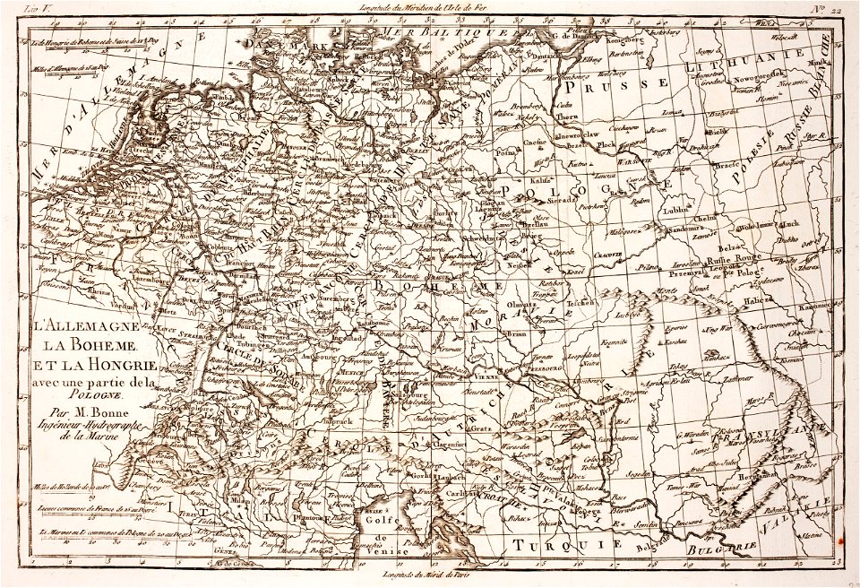
description de l'universe
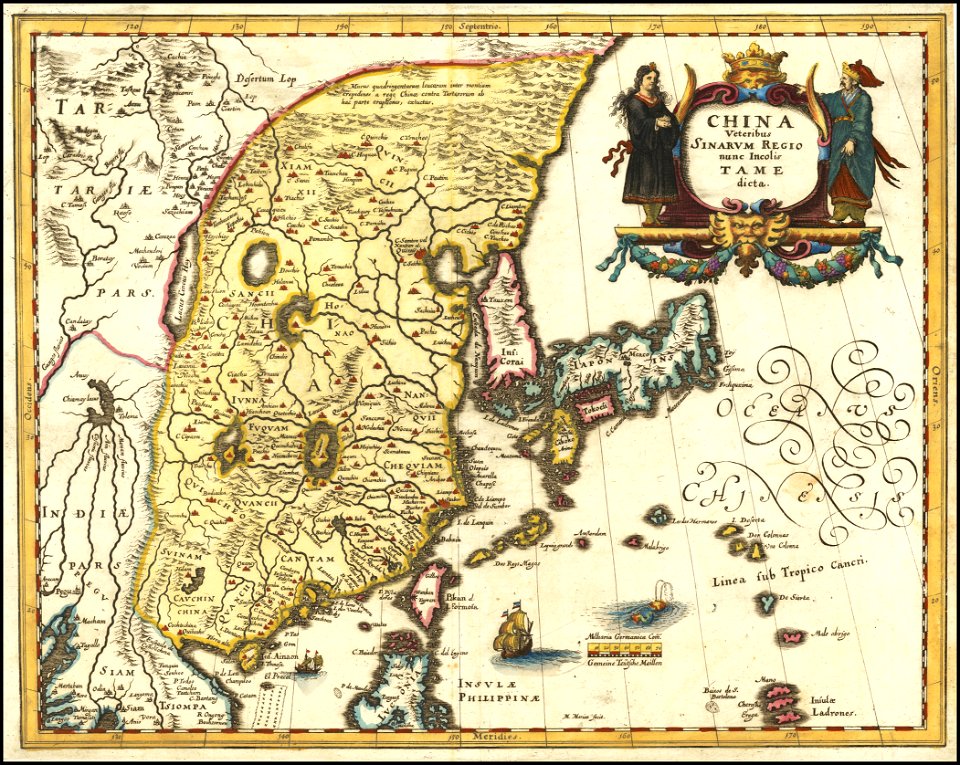
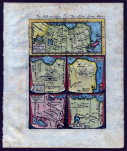
old maps of asia
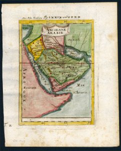
description de l'universe
old maps of saudi arabia
description de l'universe
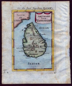
old maps of sri lanka
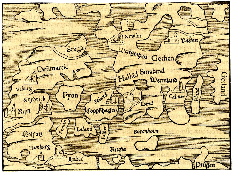
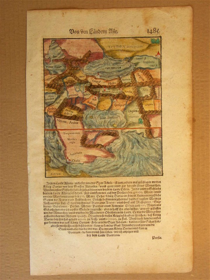
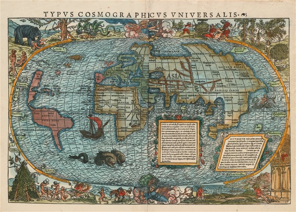
cosmographia (1600) by sebastian münster
1600 maps of iran
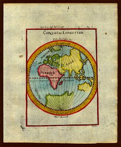
description de l'universe
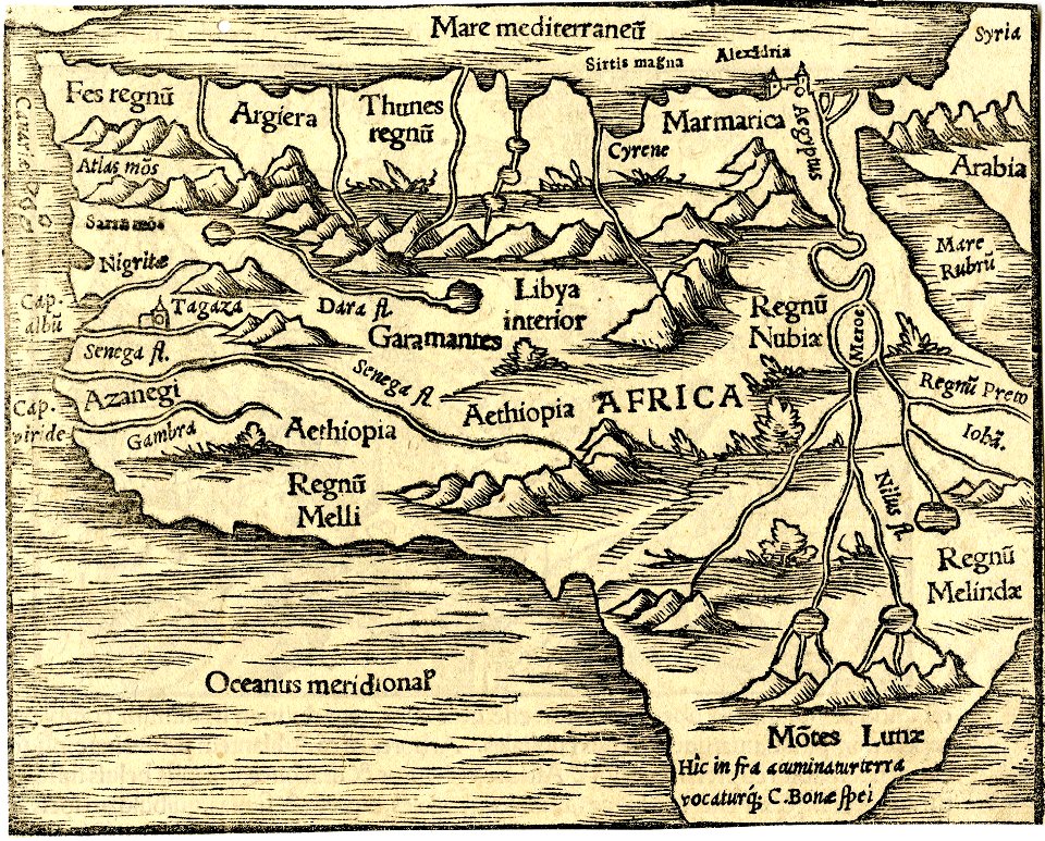
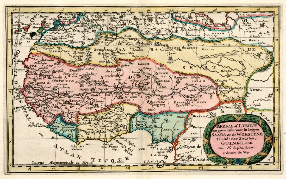
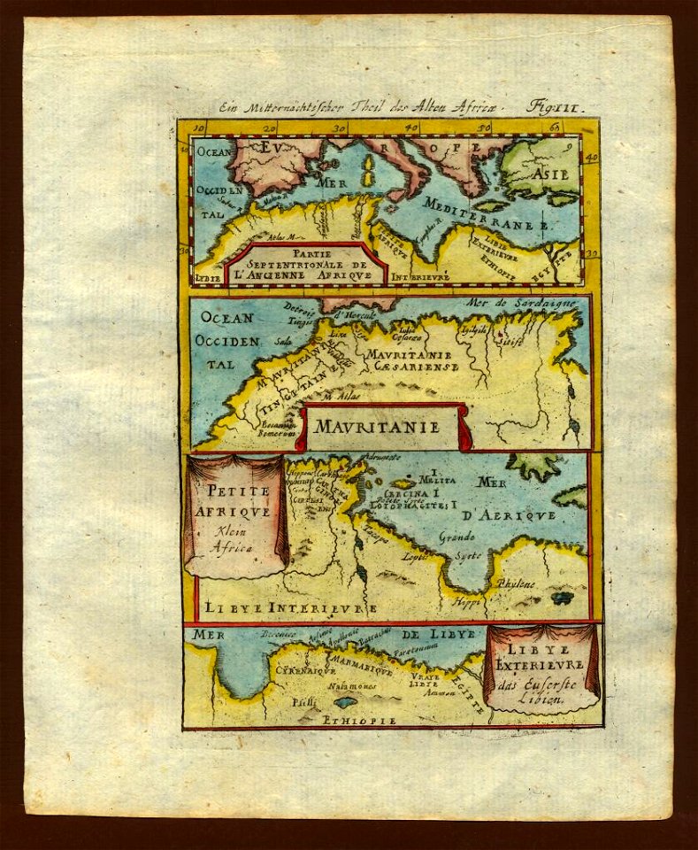
1683 maps of africa
description de l'universe
old maps of asia
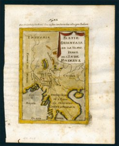
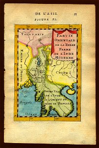
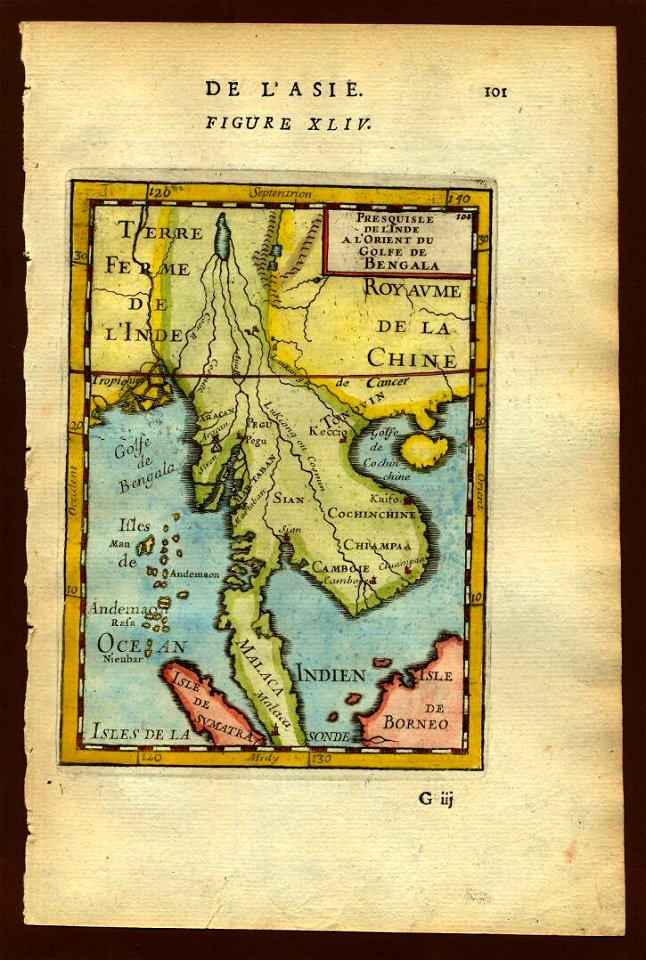
old maps of southeast asia
description de l'universe
old maps of southeast asia
description de l'universe
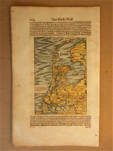
cosmographia (1600) by sebastian münster
1600 maps of the netherlands
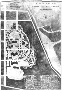
storer college
west virginia
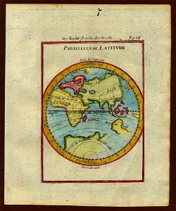
description de l'universe
old maps of africa
old maps of southeast asia
description de l'universe
description de l'universe
1710s maps of the world
description de l'universe
1710s maps of the world
description de l'universe
1710s maps of the world
description de l'universe
old maps of the world
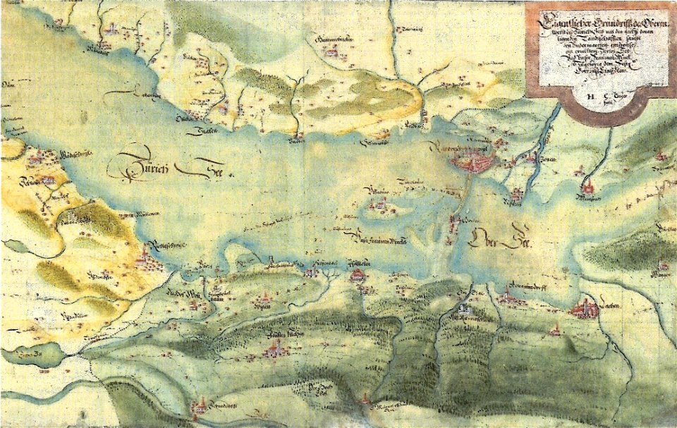
old maps of zürichsee
gygerkarte
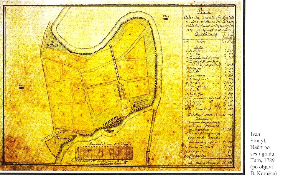
18th-century maps of slovenia
kodeljevo park
charts and maps of the royal museums greenwich
1682 maps
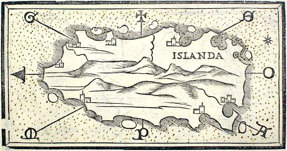
provided by landsbókasafn íslands
16th-century maps of iceland
charts and maps of the royal museums greenwich
1682 maps
charts and maps of the royal museums greenwich
1682 maps
provided by landsbókasafn íslands
maps by giacomo gastaldi
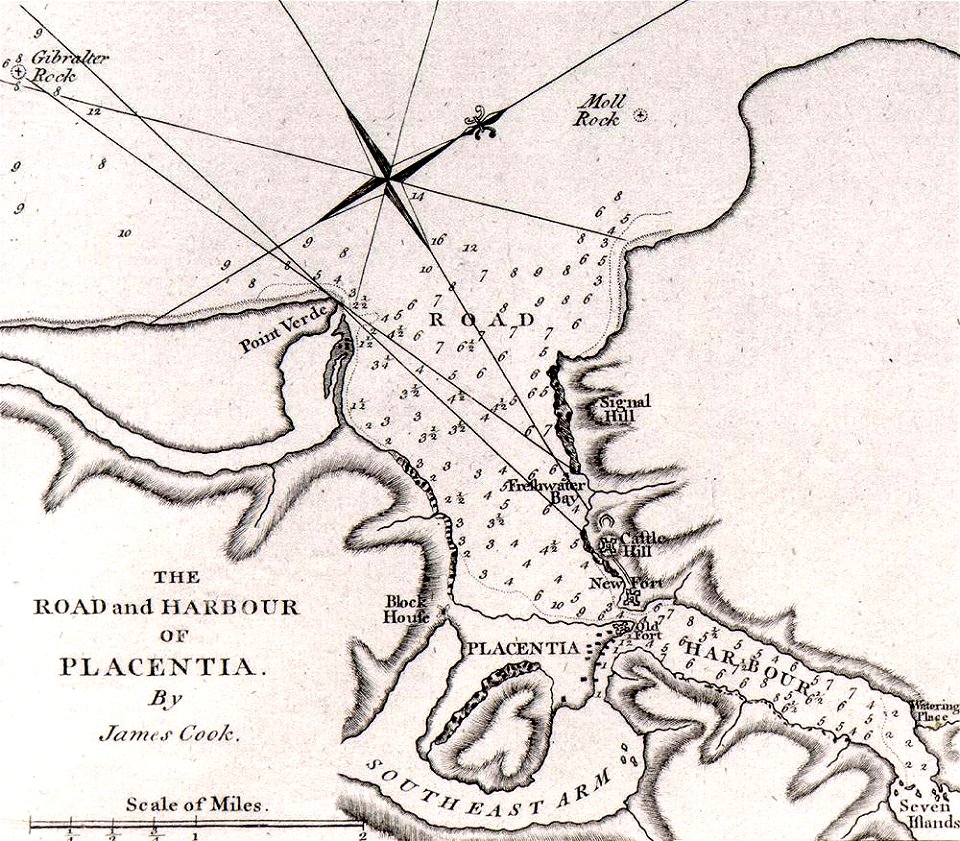
james cook (maps relating to)
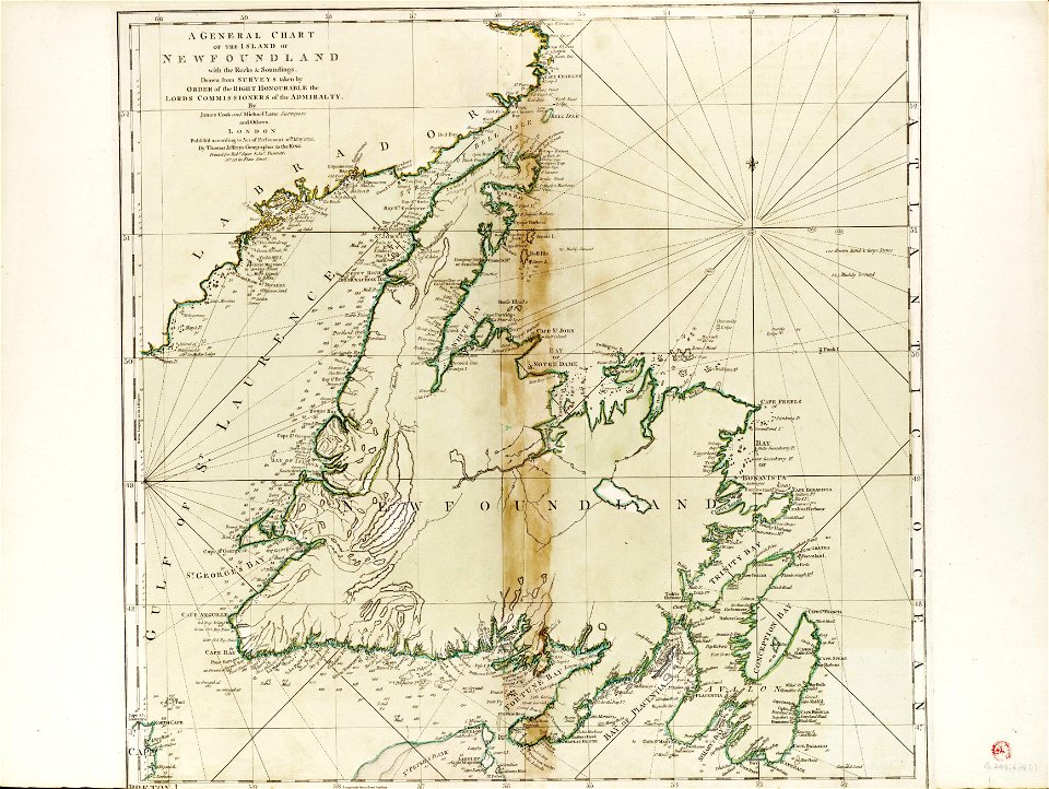
old maps of newfoundland
james cook (maps relating to)
old maps of newfoundland
16th-century maps of the world
maps by sebastian münster
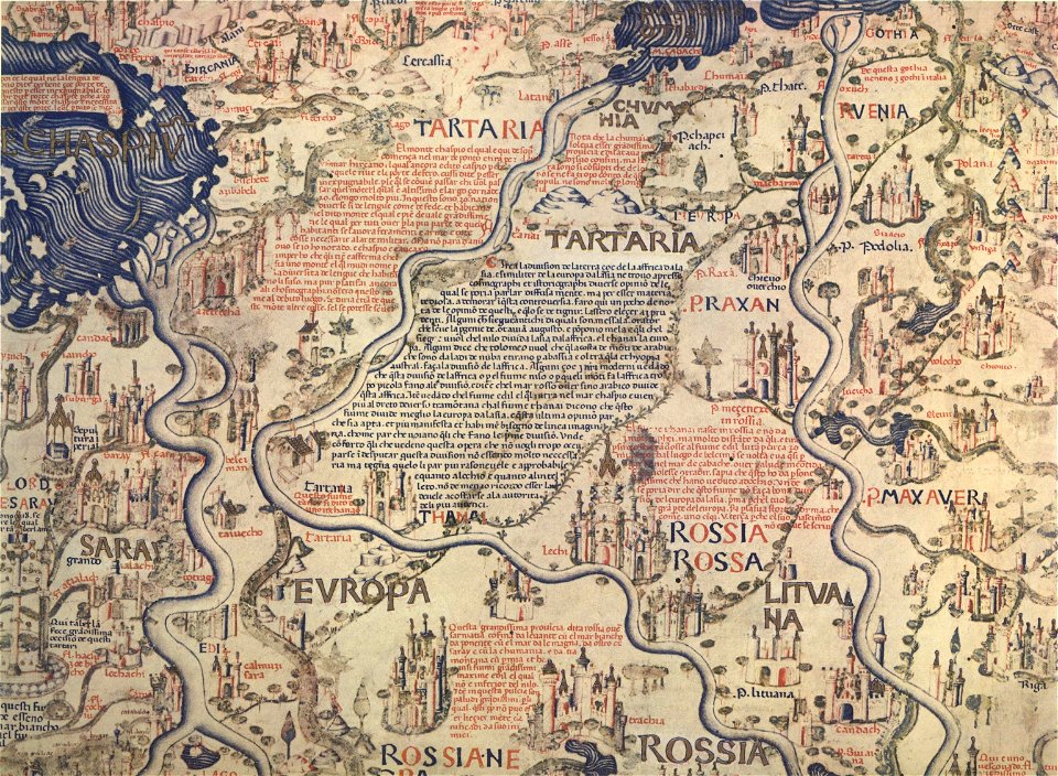
fra mauro map
charts and maps of the royal museums greenwich
1682 maps
maps by willem and johannes blaeu
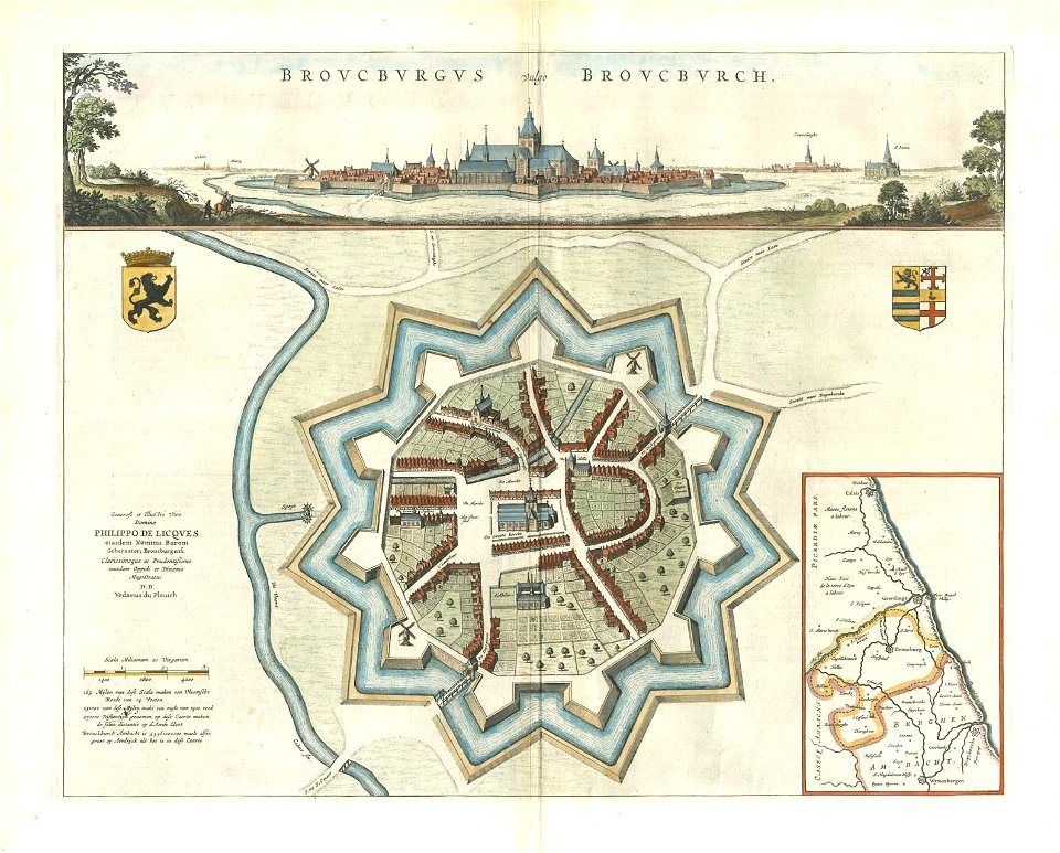
bourbourg
charts and maps of the royal museums greenwich
1682 maps
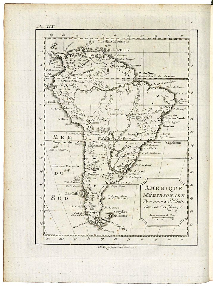
18th-century maps of the americas
elementarwerk
maps in the library of congress
1680 maps
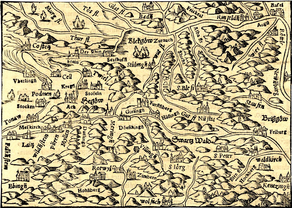
collections of generallandesarchiv karlsruhe
1680 maps of baden-württemberg
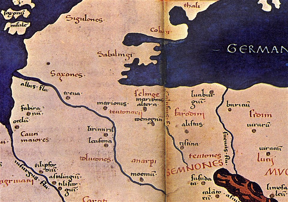
maps of germania magna
details of old maps
maps by coronelli
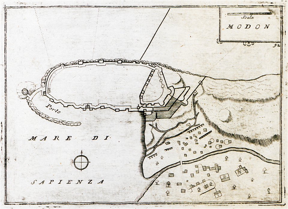
methoni castle
charts and maps of the royal museums greenwich
1682 maps
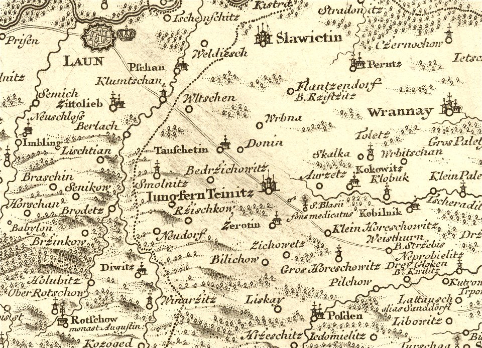
details of müller's map of bohemia
maps of louny district
charts and maps of the royal museums greenwich
1682 maps
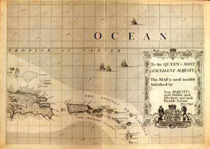
continent
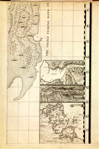
maps
countries
maps
maps
gps
l'illustration
1853
crowned eagles argent
pictorial maps
maps with cartouches
old maps of zeeland
maps made in the 17th century
gerard valck
maps by nicolas sanson
gerard valck
18th-century maps of italy
old maps of algeria
18th-century maps of bohemia
1780 maps of czechia
charts and maps of the royal museums greenwich
james cook (maps relating to)
maps
flag
travel
maps
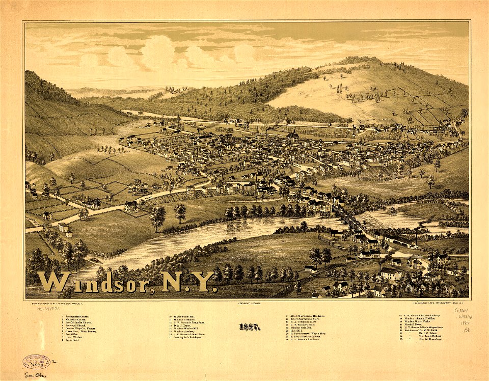
new york
windsor
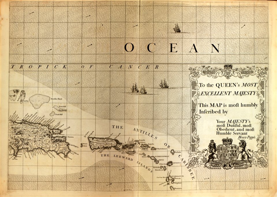
a map of the british empire in america with the french and spanish settlements adjacent thereto
maps in the library of congress
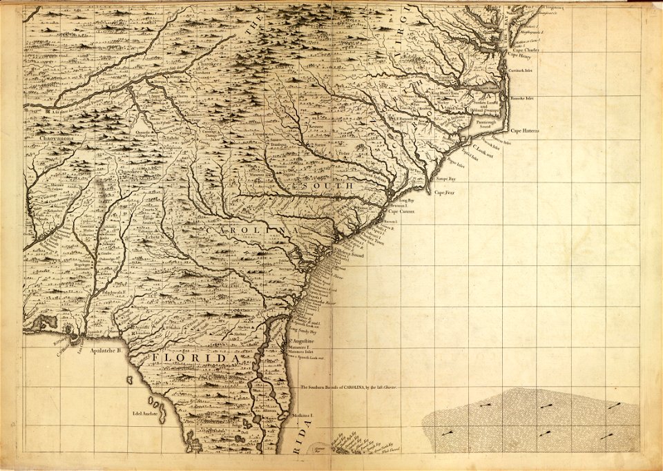
a map of the british empire in america with the french and spanish settlements adjacent thereto
maps in the library of congress
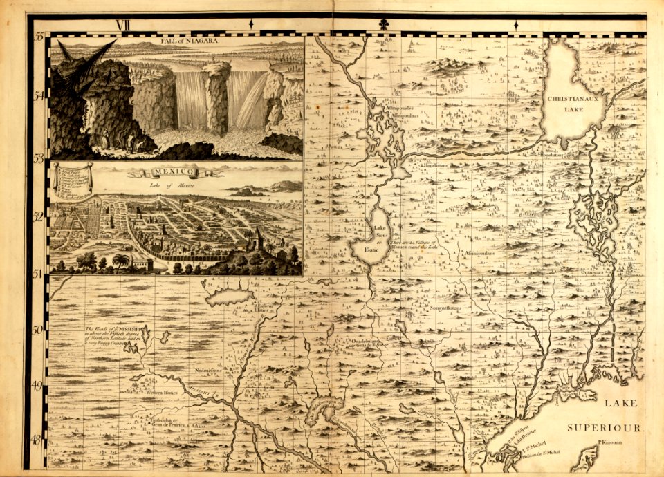
a map of the british empire in america with the french and spanish settlements adjacent thereto
maps in the library of congress
a map of the british empire in america with the french and spanish settlements adjacent thereto
maps in the library of congress
a map of the british empire in america with the french and spanish settlements adjacent thereto
maps in the library of congress
a map of the british empire in america with the french and spanish settlements adjacent thereto
maps in the library of congress
a map of the british empire in america with the french and spanish settlements adjacent thereto
maps in the library of congress
a map of the british empire in america with the french and spanish settlements adjacent thereto
maps in the library of congress
a map of the british empire in america with the french and spanish settlements adjacent thereto
maps in the library of congress
maps of the french and indian war
1786 maps
a map of the british empire in america with the french and spanish settlements adjacent thereto
maps in the library of congress
old maps of the strait of magellan
voyage au pôle sud
maps in the library of congress
albert ruger
1760s etchings
1760 maps
6701 - 6800 of 357,629
Next page
/ 3577