Log in
All resources
Create a design
Tools
357,631 Free Images of Maps
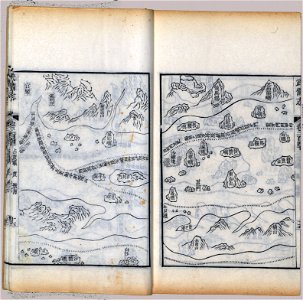
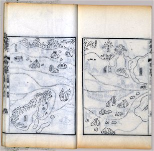
maps in the library of congress
mao kun map
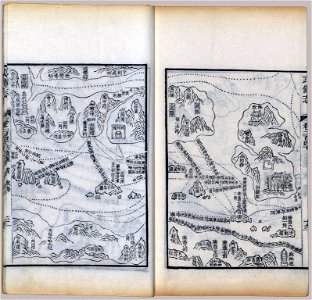
wubei zhi
charts and maps of the royal museums greenwich
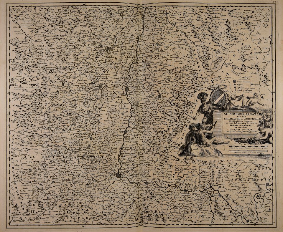
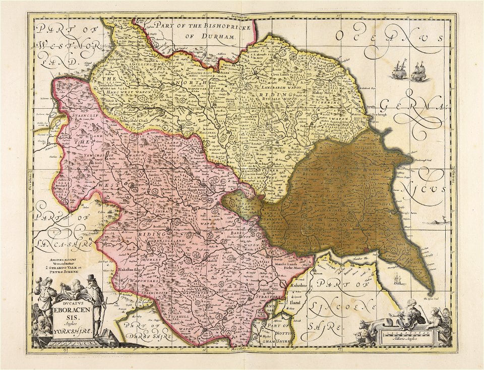
1682 maps
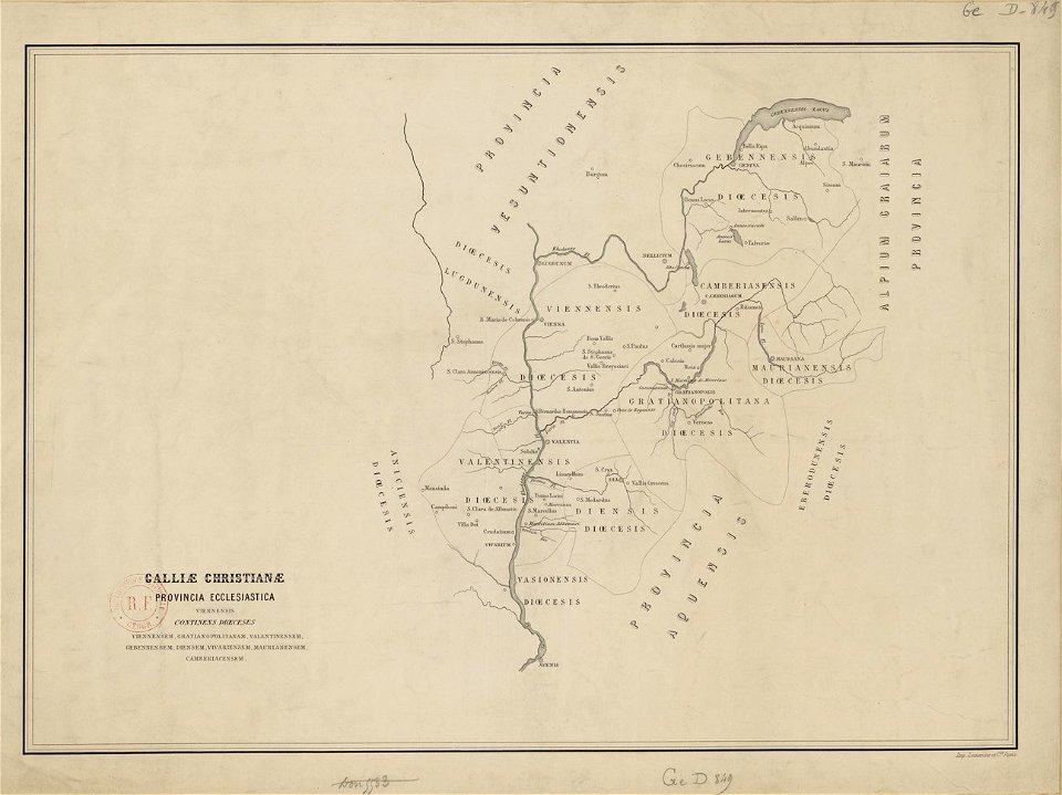
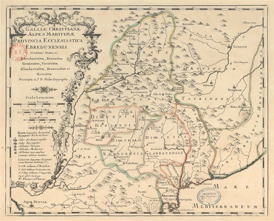
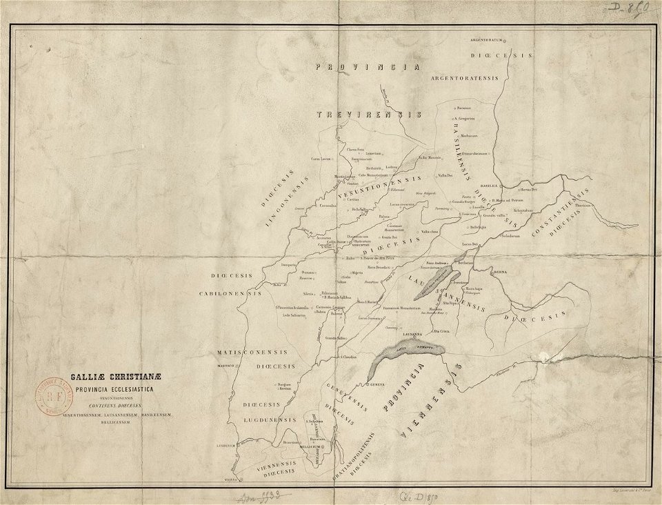
maps of catholic dioceses of france
old maps published in the gallia christiana
old maps of the dutch east india company
maps of the west-indische compagnie
maps made in the 17th century
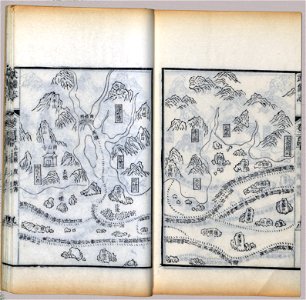
maps in the library of congress
mao kun map
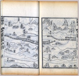
maps in the library of congress
mao kun map
maps in the library of congress
mao kun map
maps in the library of congress
mao kun map
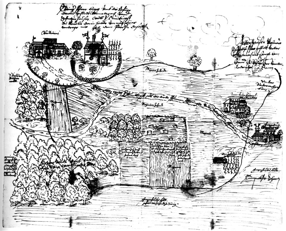
old maps of baden-württemberg
friedrichshafen in art
old maps published in the gallia christiana
maps of catholic dioceses of france
old maps published in the gallia christiana
maps of catholic dioceses of france
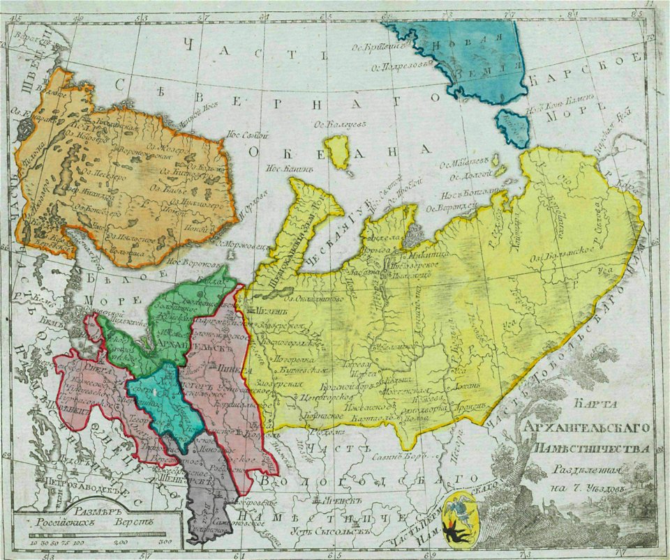
small atlas of the russian empire (1792)
maps of arkhangelsk governorate
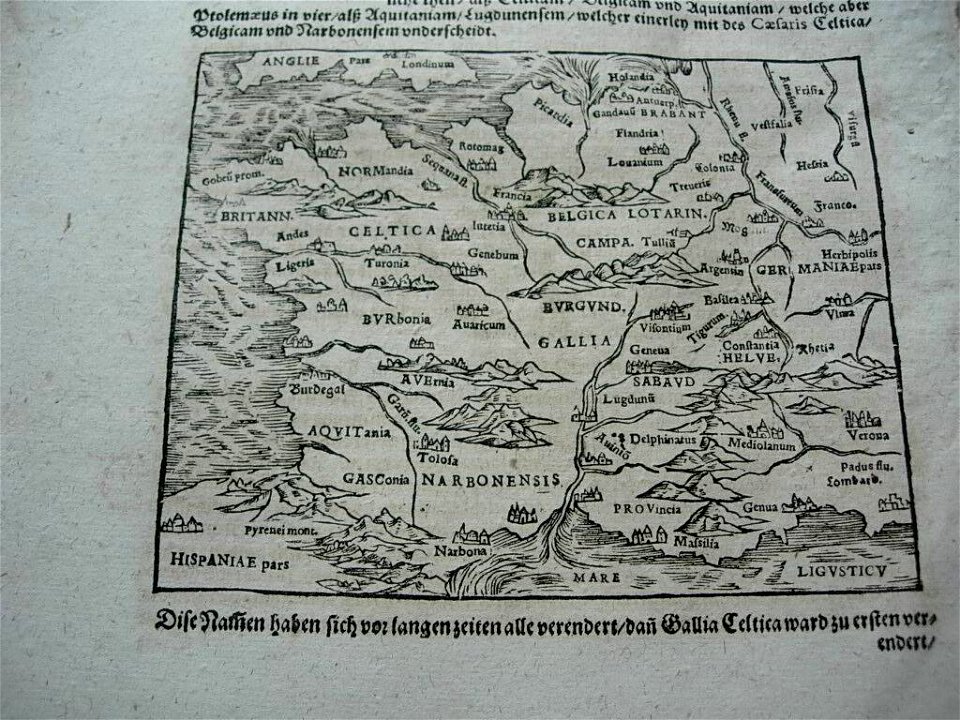
illustrations of cosmographia (münster)
old maps of france
maps by brockhaus
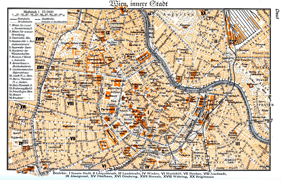
1937 in vienna
vienna
glacis
old map
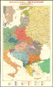
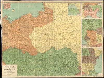
maps of world war i by the daily telegraph
charts and maps of the royal museums greenwich
1682 maps
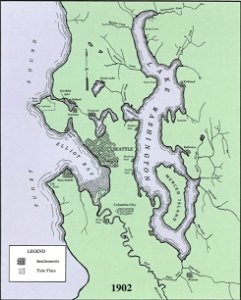
lake washington ship canal
1902 maps
new york public library manuscripts
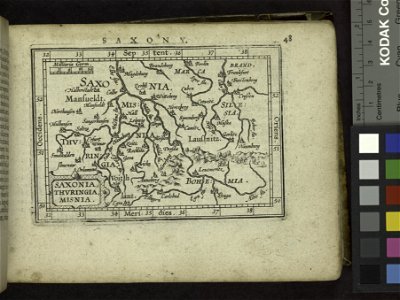
17th-century maps of saxony
charts and maps of the royal museums greenwich
1682 maps
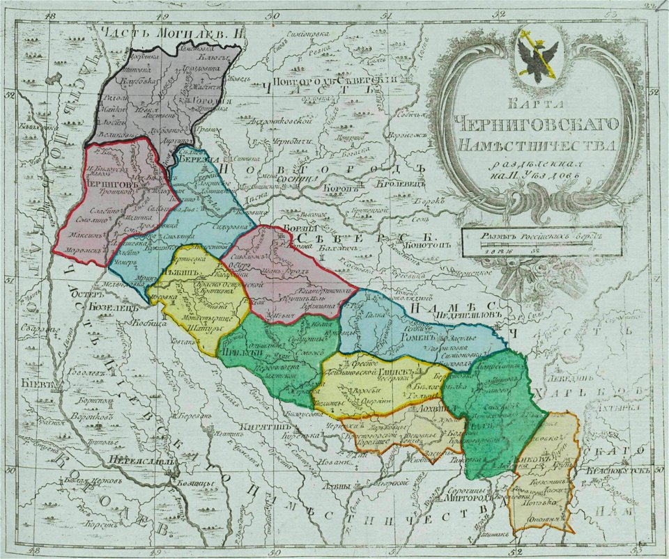
small atlas of the russian empire (1792)
maps of chernigov governorate
new york public library manuscripts
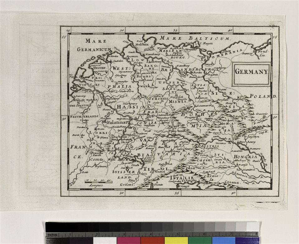
map of germany
charts and maps of the royal museums greenwich
1682 maps
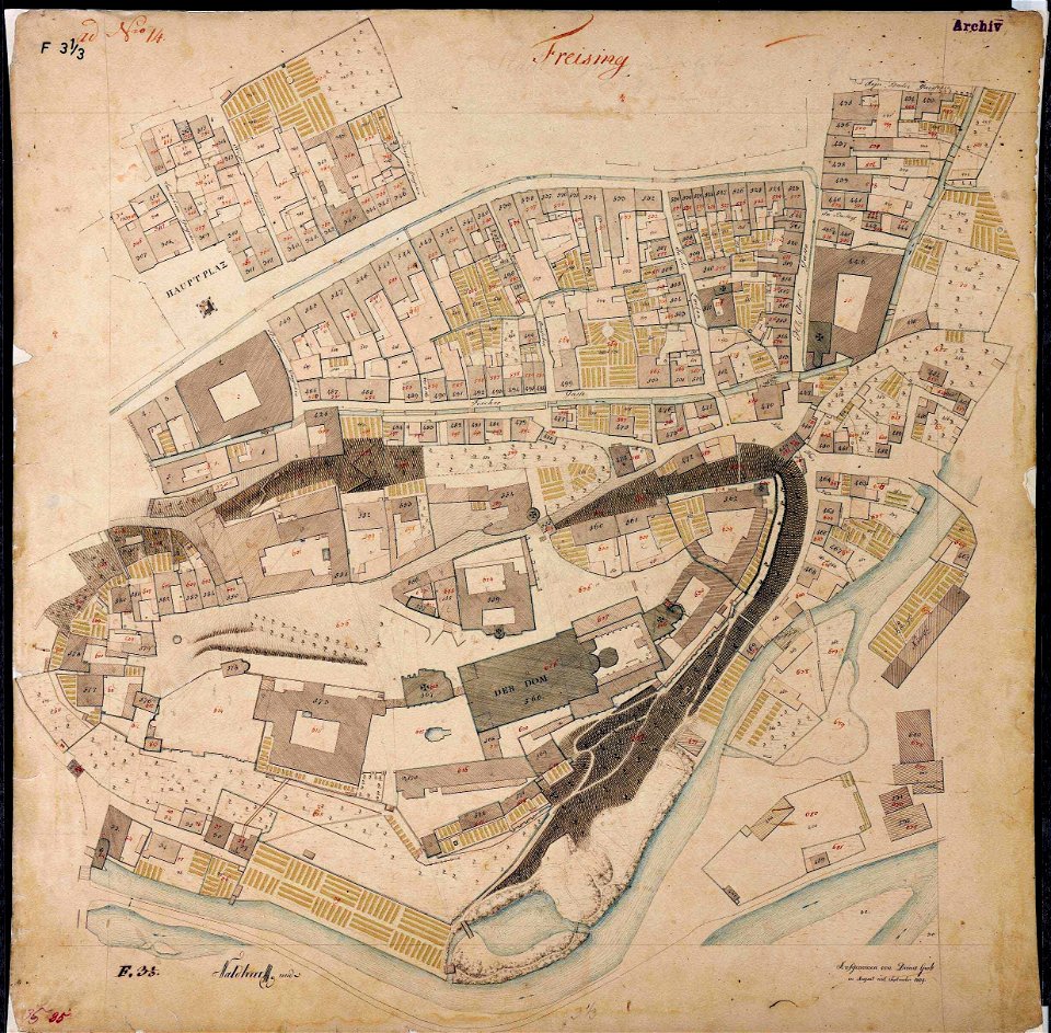
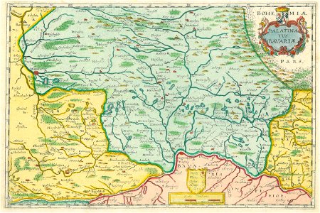
maps by royal bavarian land tax commission
old maps of freising
engravings by matthäus merian
1644 maps of europe
john rocque's 1746 map of london
st. paul s churchyard
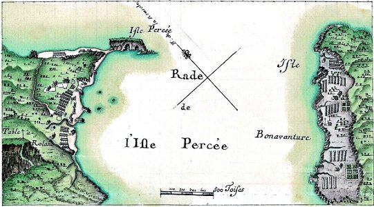
île bonaventure
percé
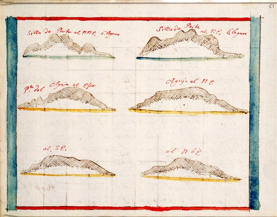
charts and maps of the royal museums greenwich
1572 maps
charts and maps of the royal museums greenwich
1682 maps
old maps of the peloponnese
maps by coronelli
old maps of the british isles
ptolemaic britain
tobias conrad lotter
old maps of saxony
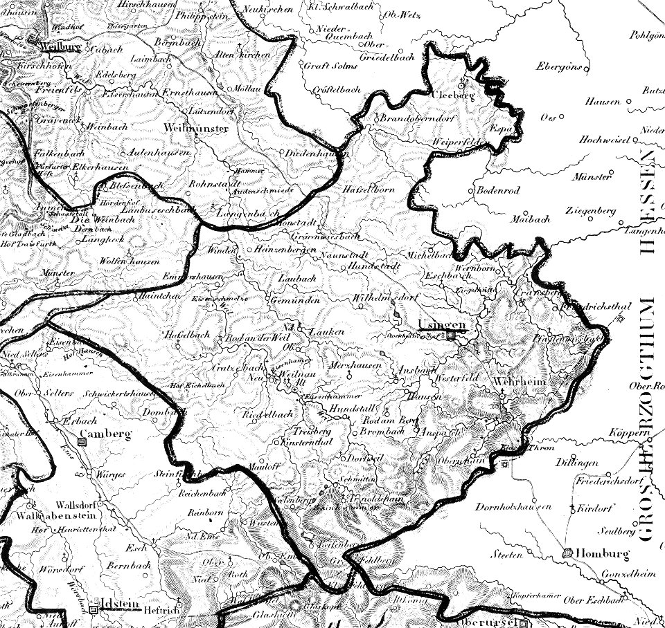
map „das herzogthum nassau“ by j.b. fischer
1828
charts and maps of the royal museums greenwich
1682 maps
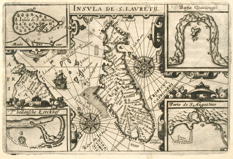
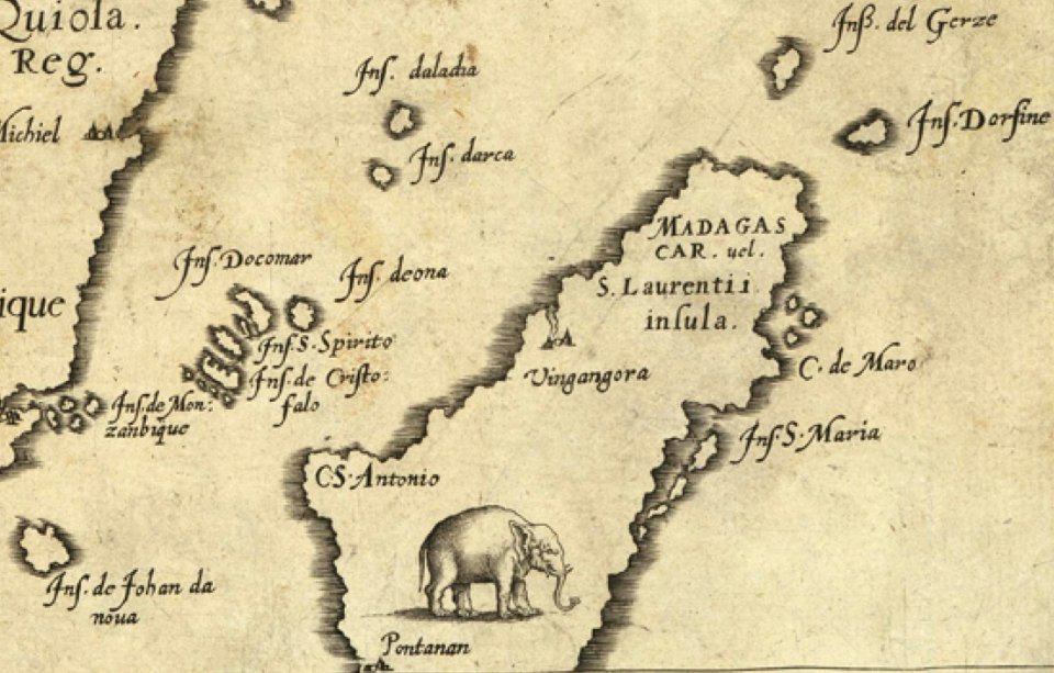
maps of the dutch east india company - madagascar
1598
old maps of the dutch east india company
1705
maps of the west-indische compagnie
1705
old maps of the dutch east india company
1705
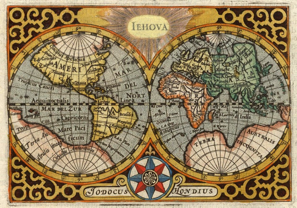
iehova/jehova/jehovah
1596 maps
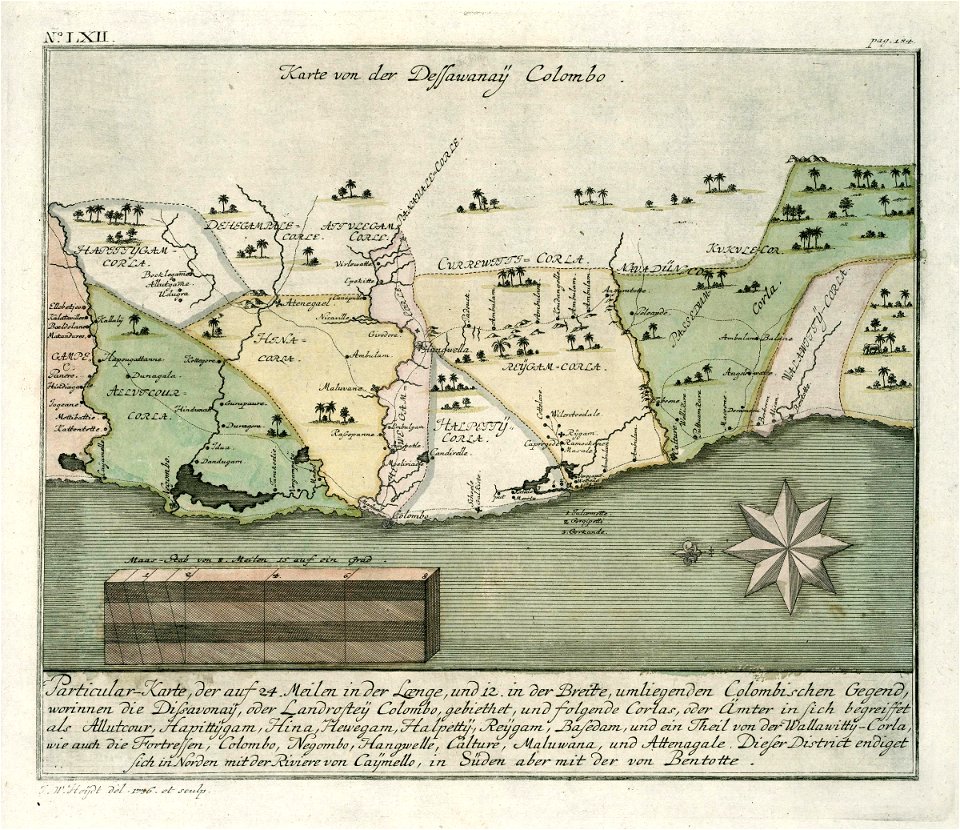
maps of the dutch east india company - sri lanka
1736
maps of the west-indische compagnie
1720s
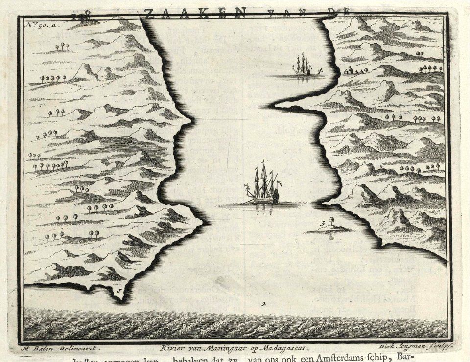
maps of the dutch east india company - madagascar
1726 maps
maps of the west-indische compagnie
1720s
maps of the west-indische compagnie
1662
old maps of the dutch east india company
1750
dutch bengal
1755
maps of the dutch east india company - india
1755
old maps of the dutch east india company
1763
maps by johannes janssonius
maps by wenzel hollar
maps made in the 16th century
philips galle
old maps of saudi arabia
1590 maps
charts and maps of the royal museums greenwich
1682 maps
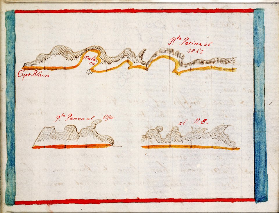
old maps of suriname
1688 maps
maps from the mechanical curator collection
british battles on land and sea
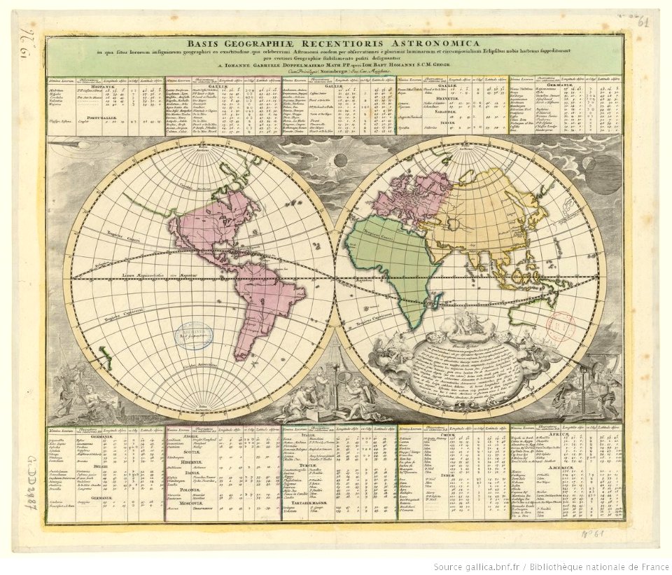
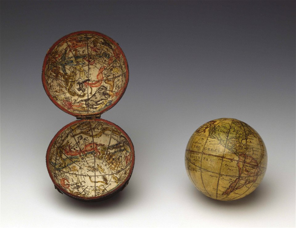
double hemisphere world maps
old celestial maps
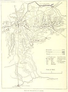
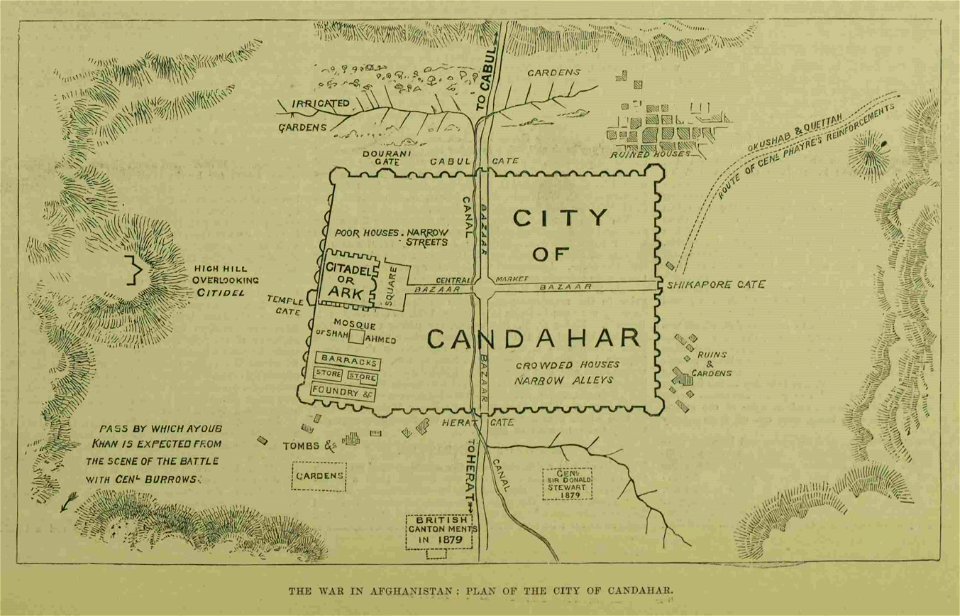
kandahar in the 19th century
battle of kandahar
johannes vingboons
1666 maps
maps in the library of congress
1766 maps
wagner & debes
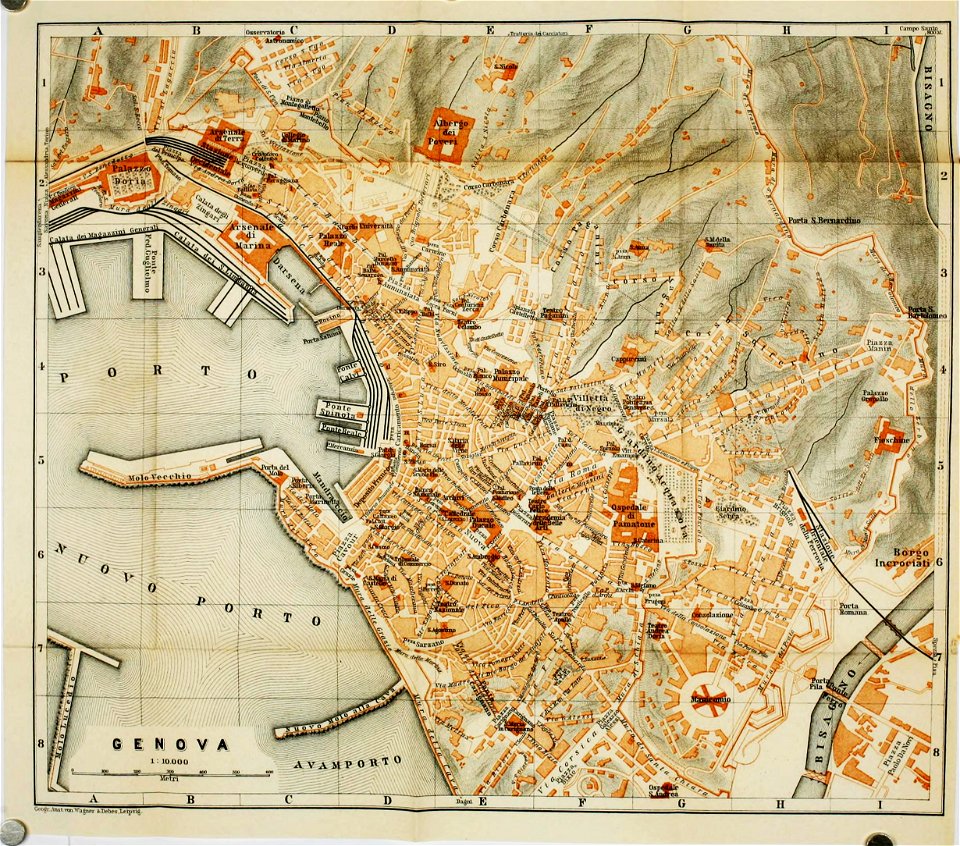
old maps of genoa
old maps published in the gallia christiana
maps of catholic dioceses of france
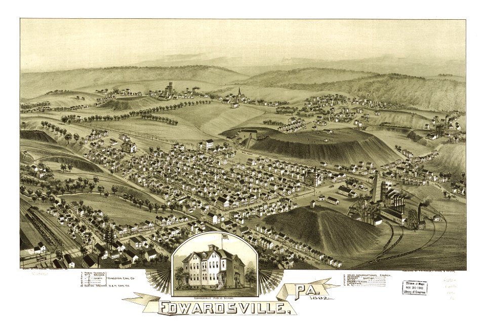
pennsylvania
edwardsville
pennsylvania
edwardsville
svg flag maps
pd-user
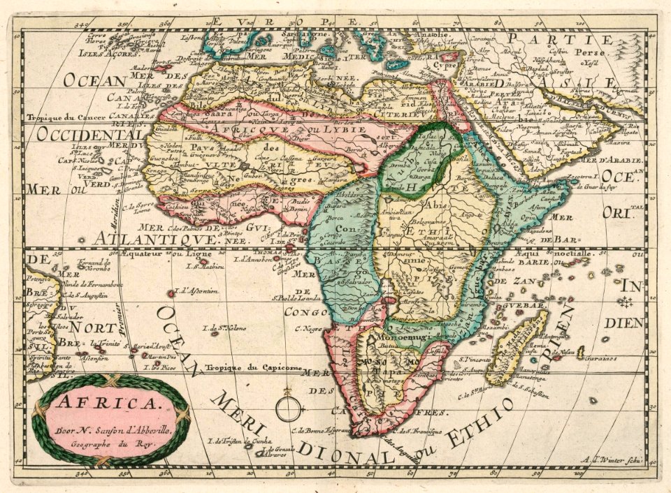
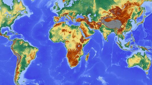
africa
maps
maps made in the 17th century
maps by nicolaes visscher i
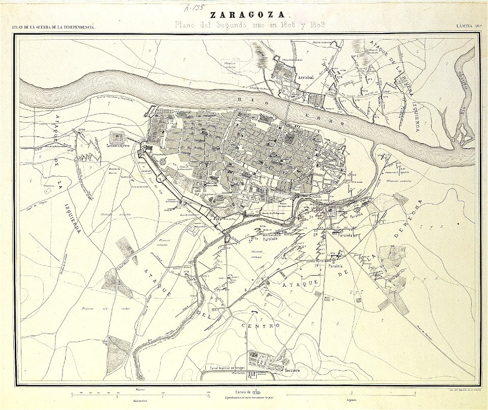
second siege of zaragoza
1868
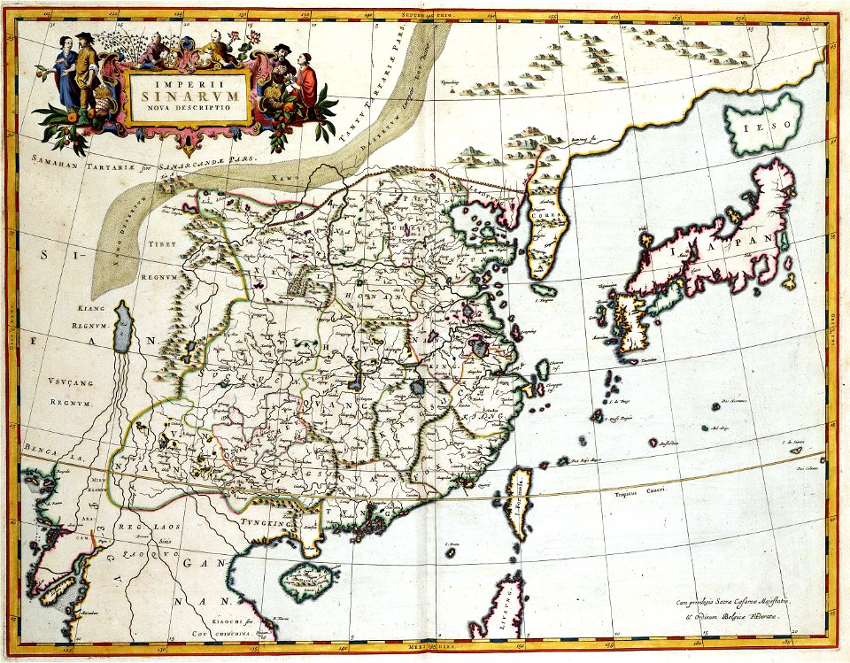
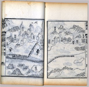
old maps of japan
old maps of china
maps with cartouches
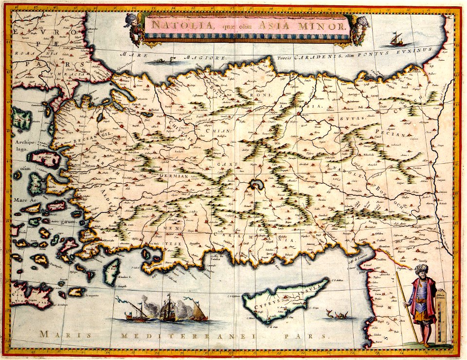
old maps of turkey
atlas van der hagen (volume 4)
maps with cartouches
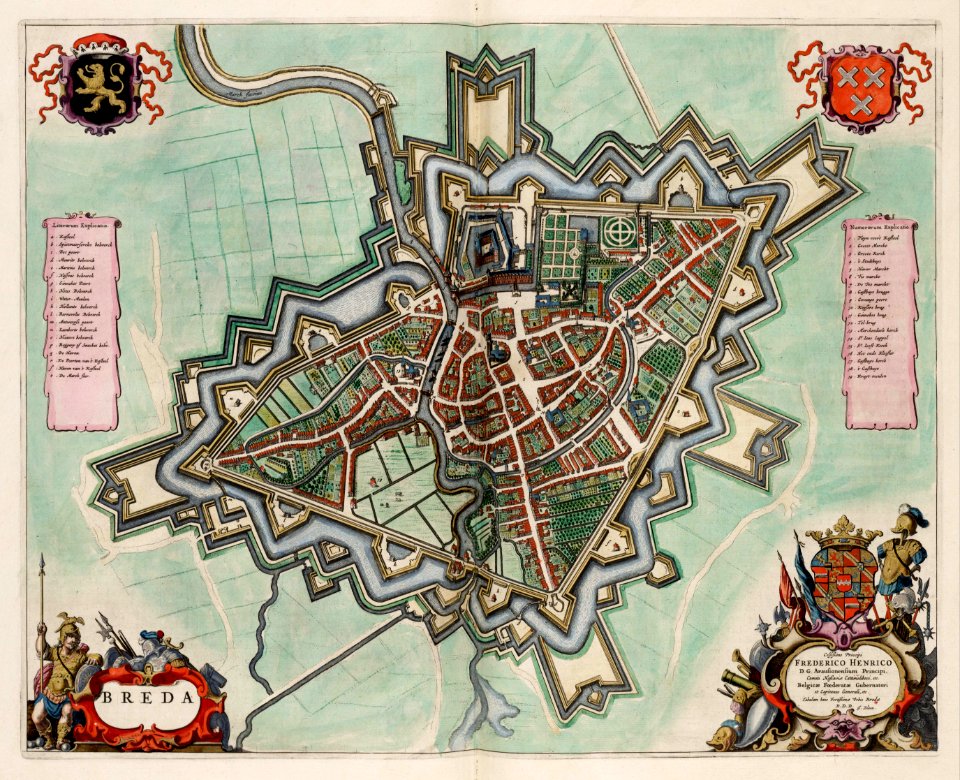
coats of arms of breda
netherlands
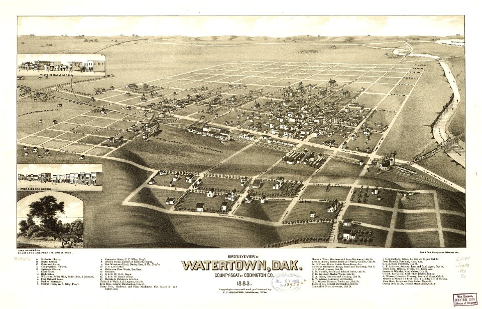
south dakota
watertown
bruce county
ontario
maps made in the 17th century
gerard valck
cornell: persuasive cartography: the pj mode collection
1681 maps
hand-drawn maps and views of world war i battlefields by h.m.
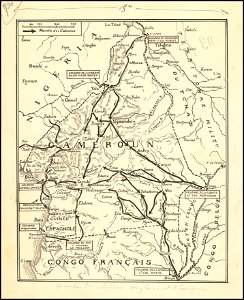
old maps of cameroon
norman b. leventhal map center – derivative files
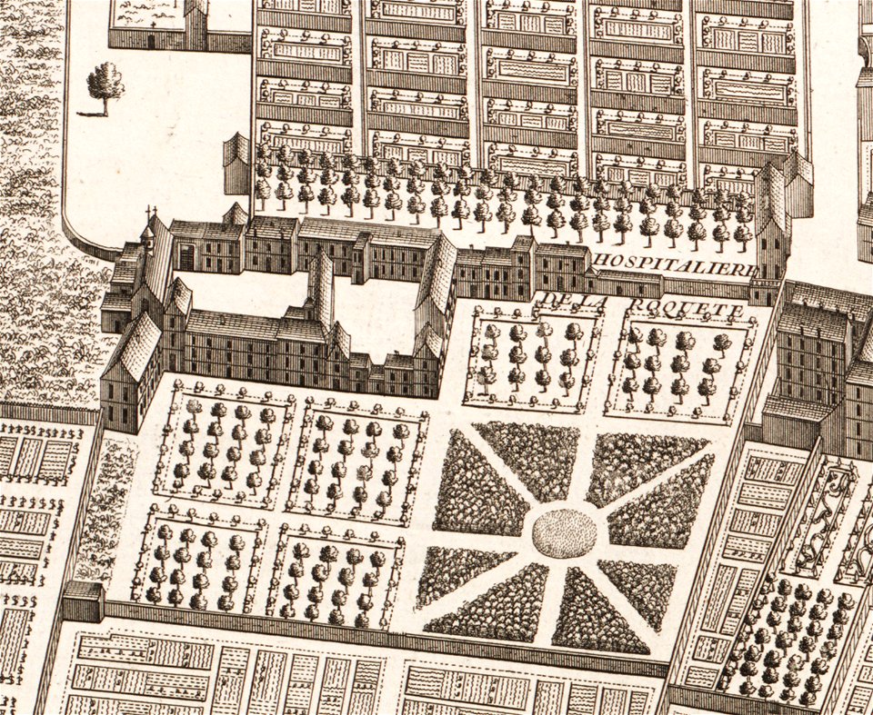
turgot map of paris
maps made in the 17th century
gerard valck
dutch 17th-century prints in the rijksmuseum amsterdam
netherlands
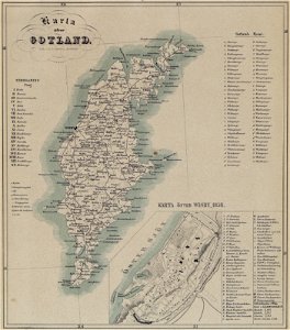
maps of gotland
pehr arvid säve
maps made in the 17th century
gulf of trieste
fires in new york (state)
new york city
north carolina
core
south dakota
clark
cornell: persuasive cartography: the pj mode collection
cornell university library
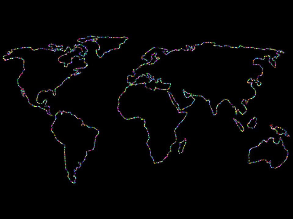
countries
maps
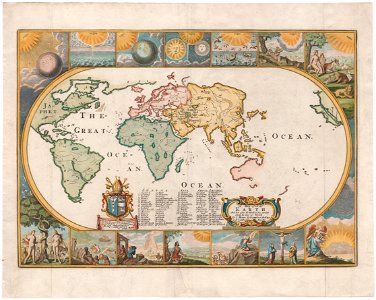
earth
maps
maps in the library of congress
mao kun map
maps in the library of congress
mao kun map
maps in the library of congress
mao kun map
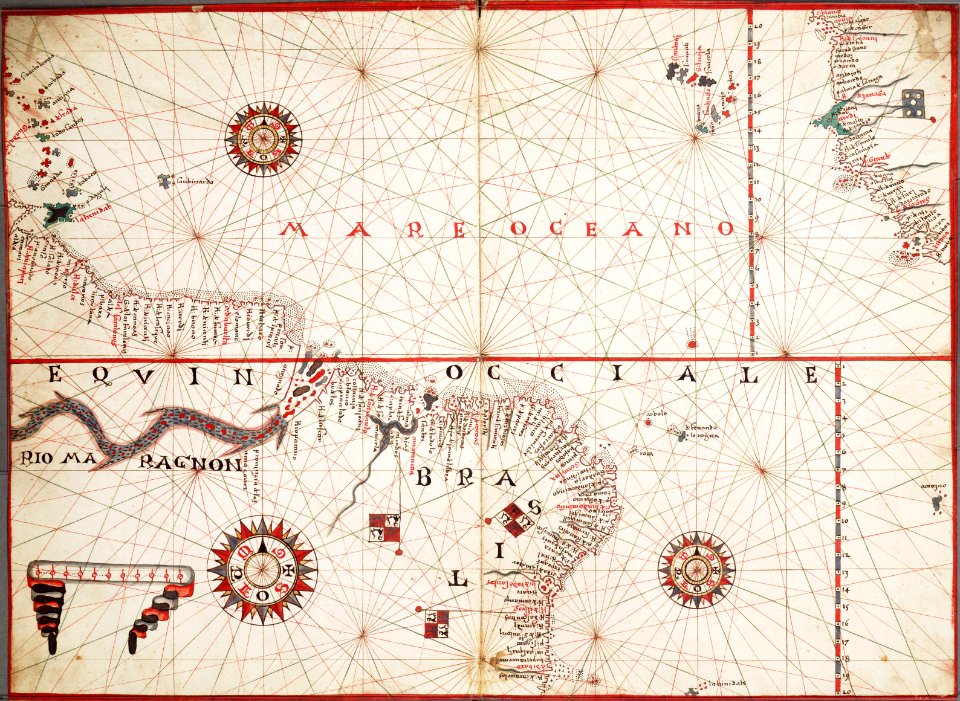
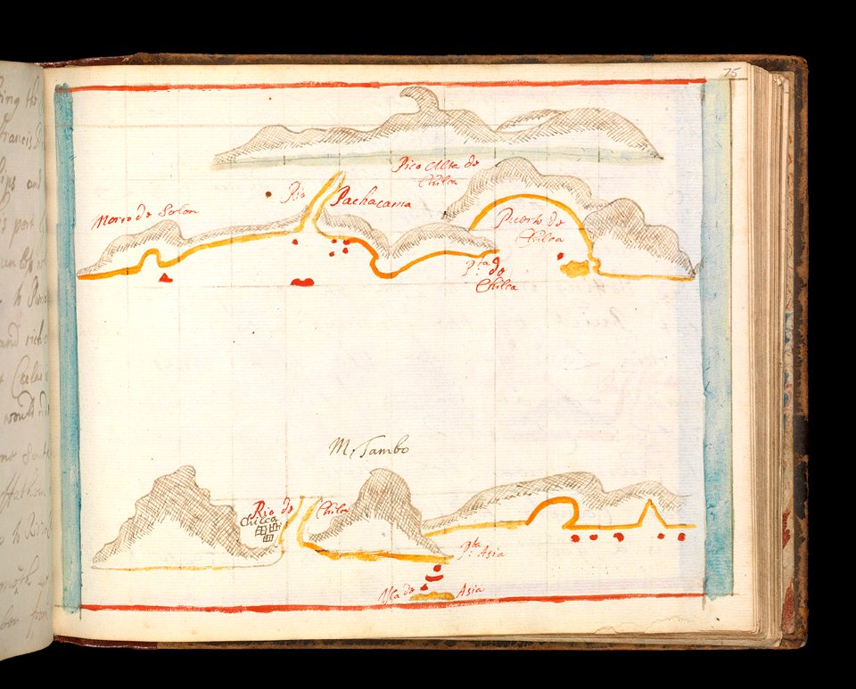
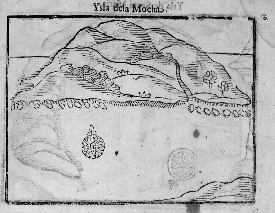
old maps of chile
alonso de ovalle
maps of world war i by the daily telegraph
maps of world war i by the daily telegraph
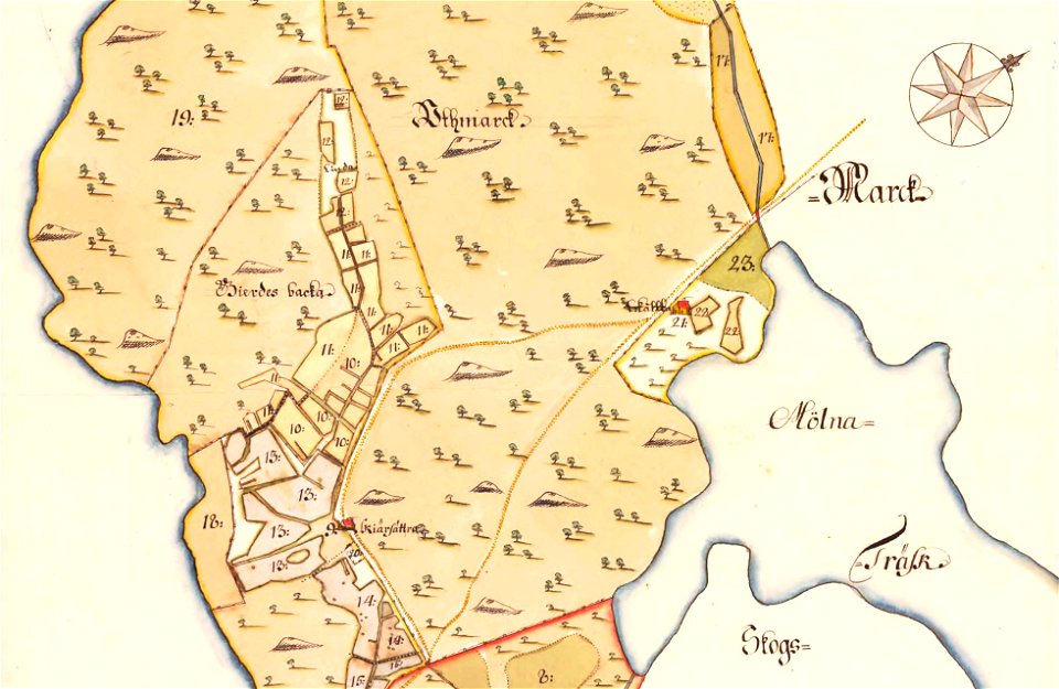
maps of lidingö
skärsätra gård
charts and maps of the royal museums greenwich
1731 maps
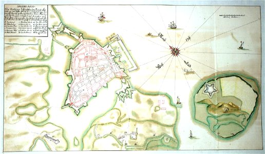
western pomerania
maps of stralsund
maps and topographical views by joris hoefnagel
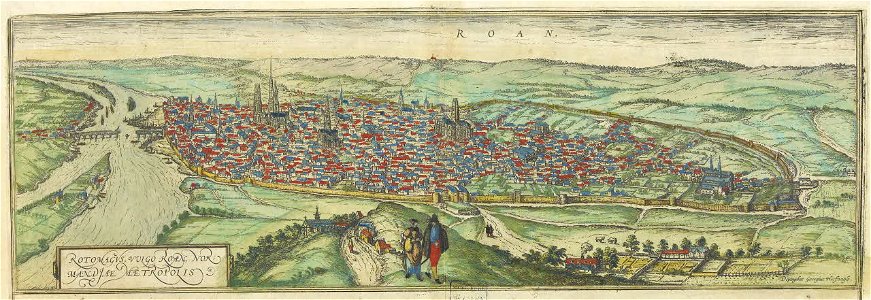
old maps of rouen
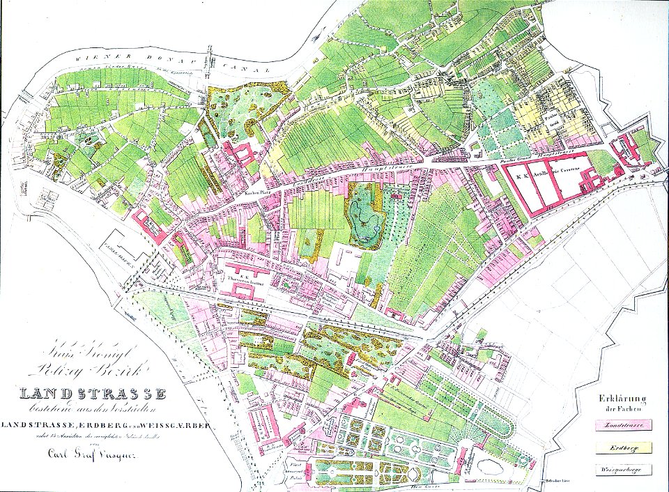
details of 1830 vienna map series by carl graf vasquez
old maps of landstraße (vienna)
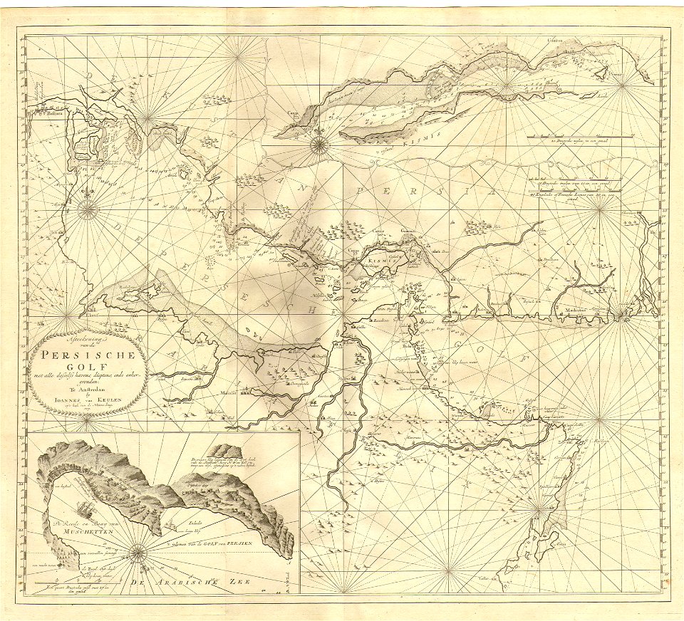
johannes van keulen
1753 maps
old maps published in the gallia christiana
maps of catholic dioceses of france
old maps published in the gallia christiana
maps of catholic dioceses of france
maps in the library of congress
mao kun map
maps in the library of congress
mao kun map
maps in the library of congress
mao kun map
7601 - 7700 of 357,631
Next page
/ 3577