Log in
All resources
Create a design
Tools
357,638 Free Images of Maps
maps in the library of congress
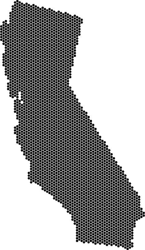
california
atlantis magni tomus tertius (biblioteca comunale di trento)
fonds ancely - bibliothèque municipale de toulouse - maps
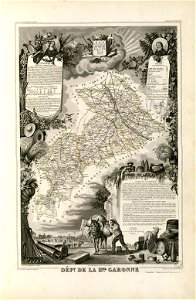
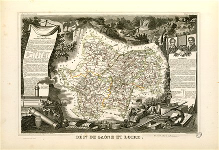
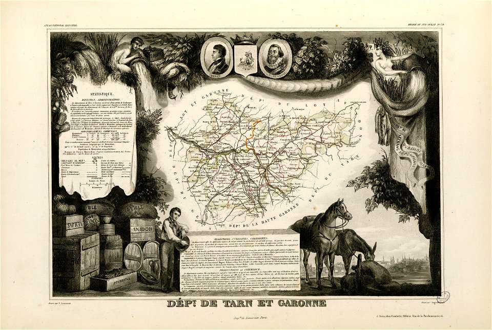
victor levasseur - maps of france
geography
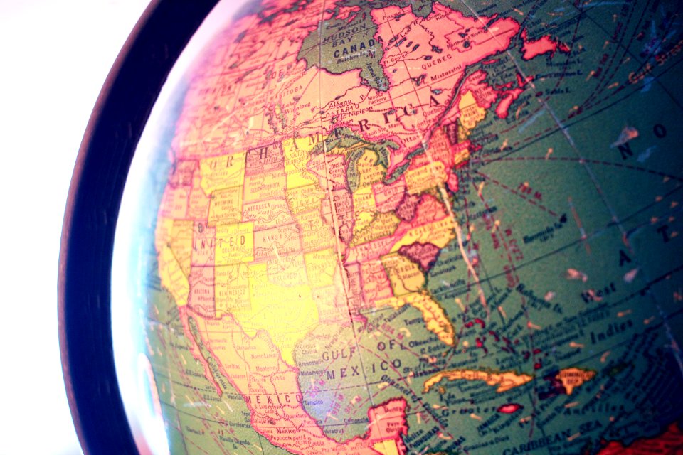
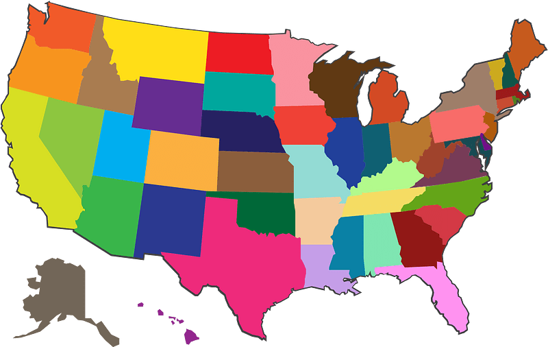
america
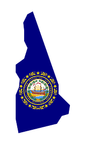
state
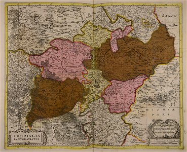
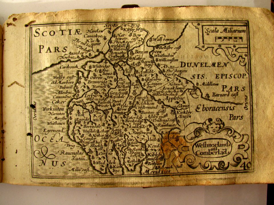
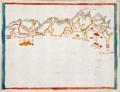
maps made in the 17th century
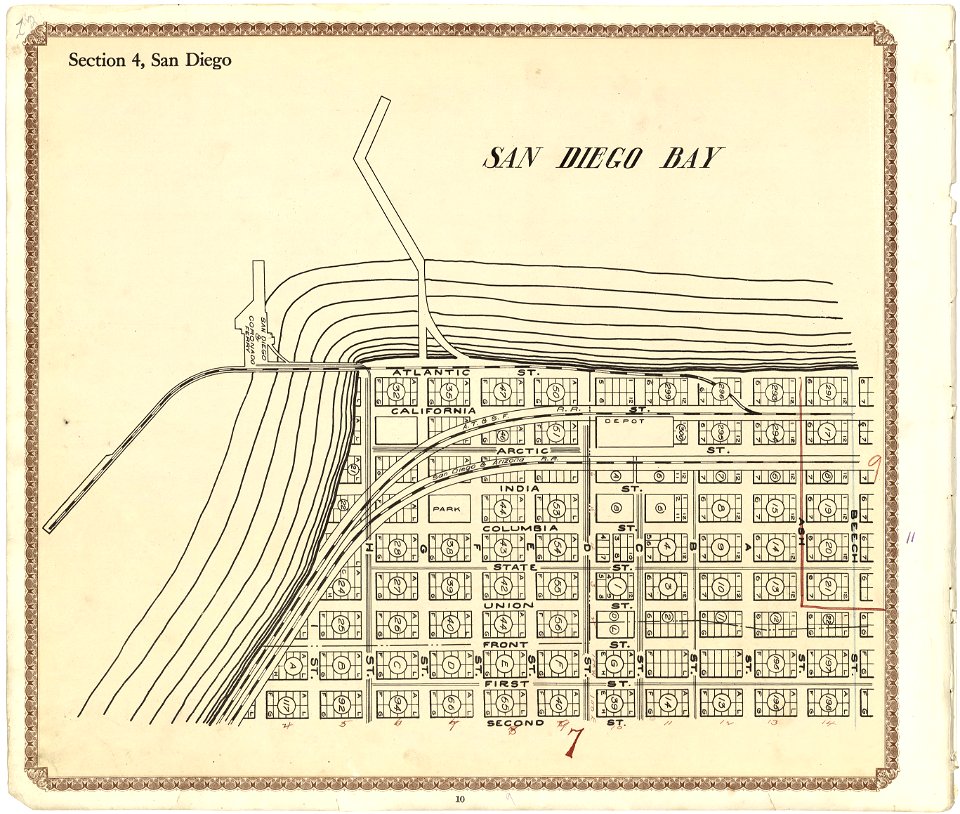
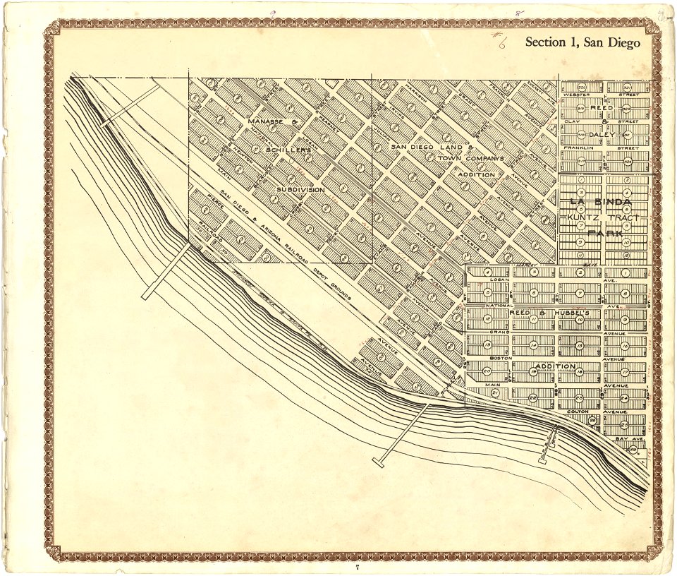
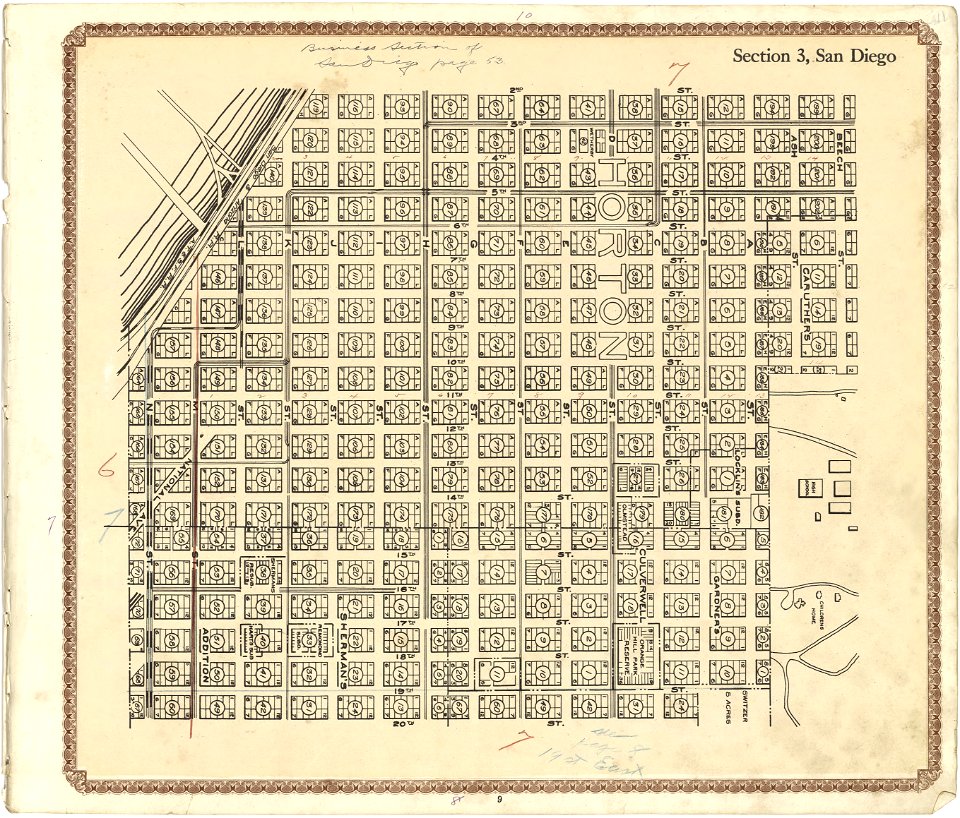
plat book of san diego county
maps in the library of congress
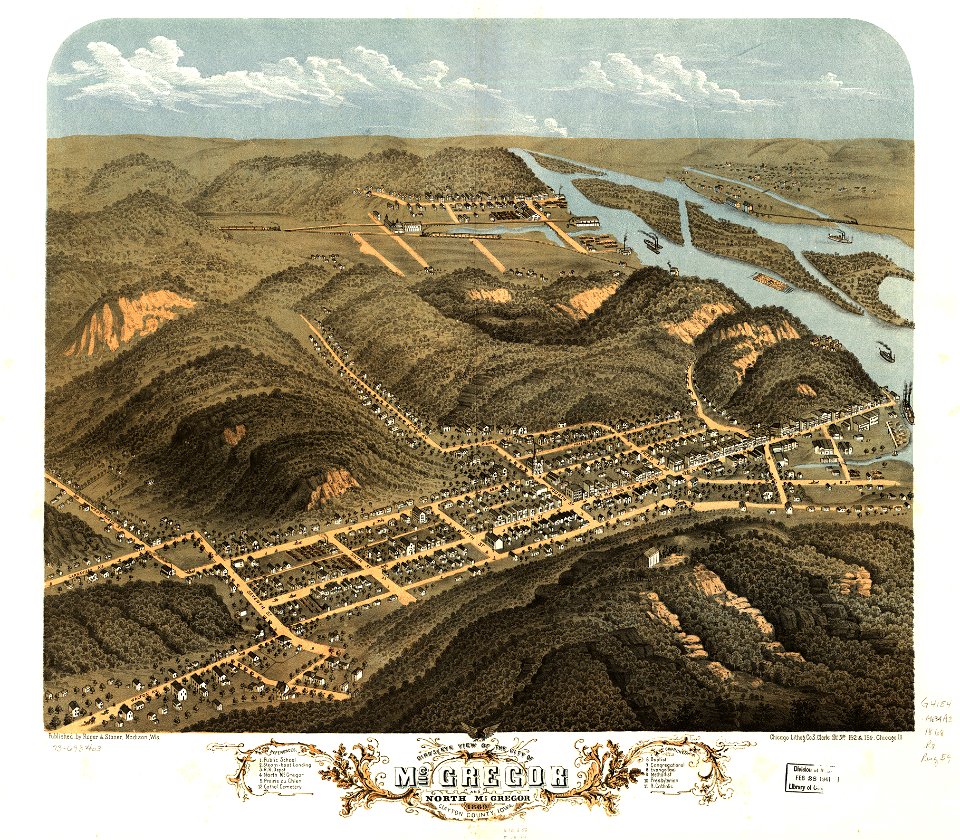
albert ruger
maps in the library of congress
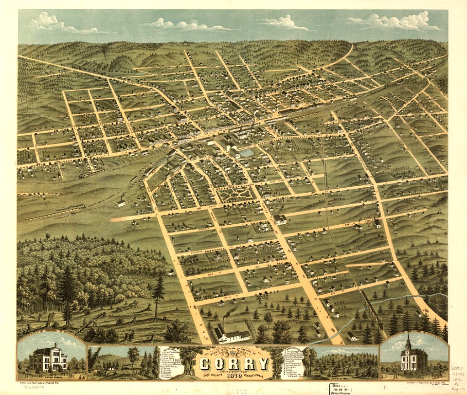
pennsylvania
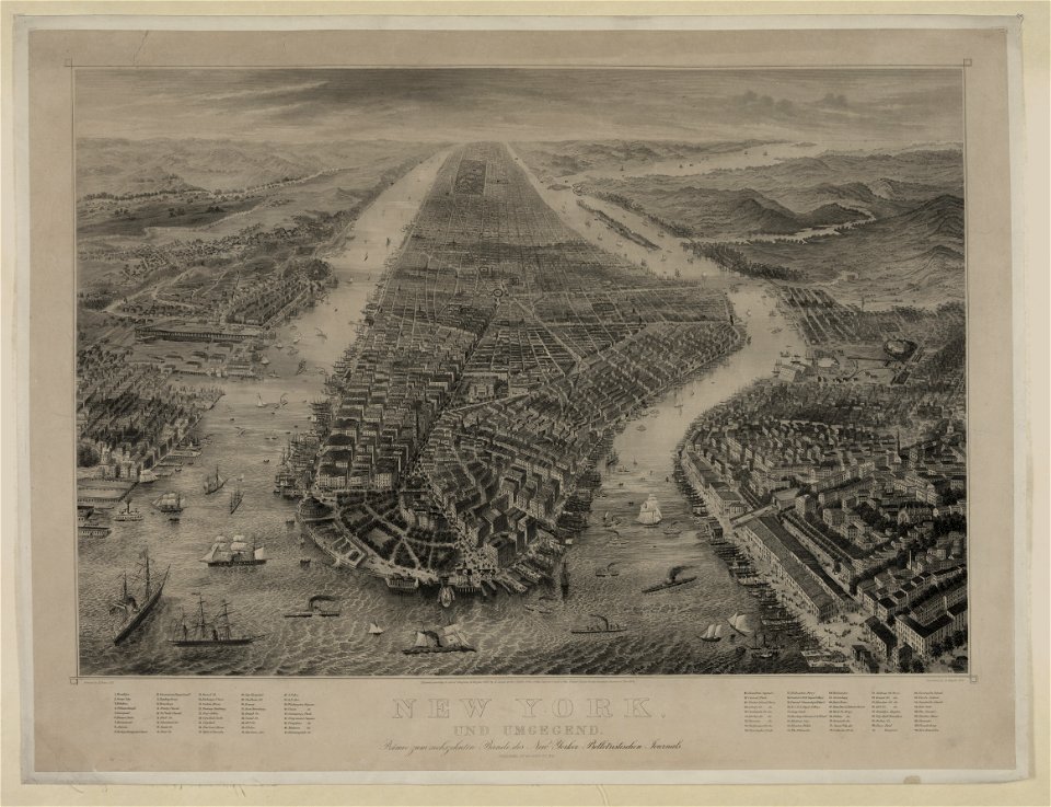
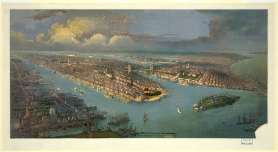
bird's eye view maps of new york city
1867 maps of new york (state)
topographic maps of afghanistan
wakhan corridor
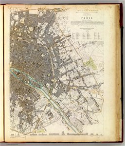
maps of paris from the david rumsey historical map collection
paris: containing the quartiers by william barnard clarke
atlantis magni tomus tertius (biblioteca comunale di trento)
maps made in the 17th century
maps in the library of congress
california
maps in the library of congress
california
maps in the library of congress
california
maps in the library of congress
california
maps in the library of congress
california
maps of paris by braun & hogenberg
maps of paris from paris musées
university of toronto wenceslas hollar digital collection
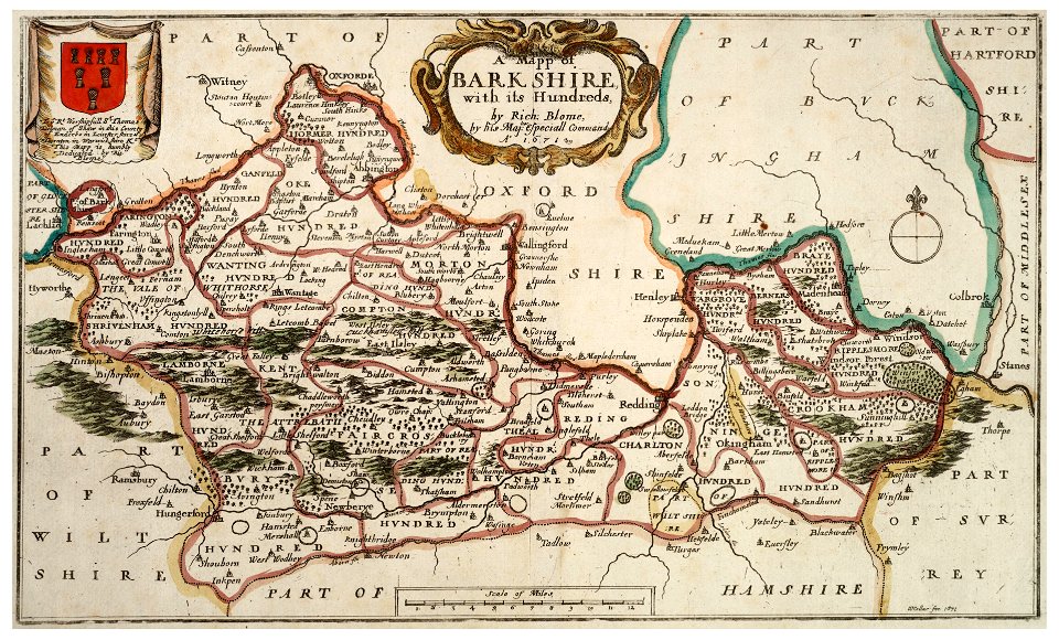
old county maps of berkshire
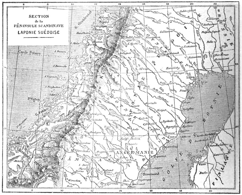
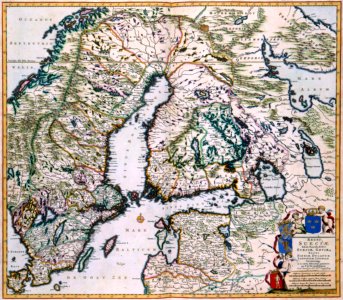
19th-century maps of sweden
sweden in the 1850s
mercator projection
sugar industry
orange county
new york
maps made in the 17th century
old maps of brandenburg
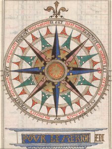
compass roses on maps
almanacs of france
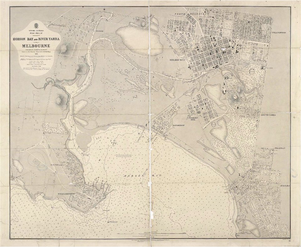
maps of melbourne
australia
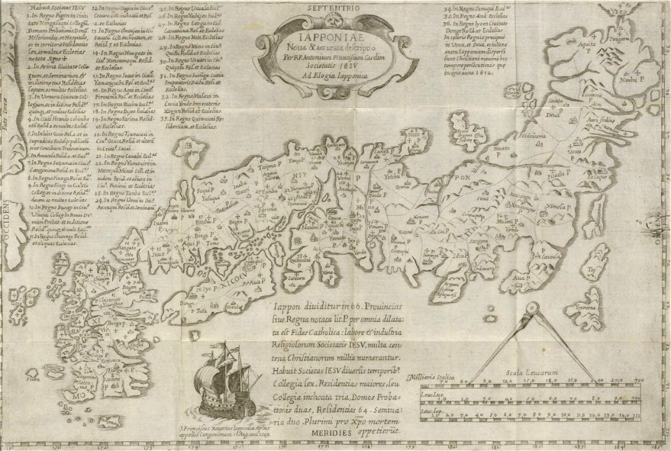
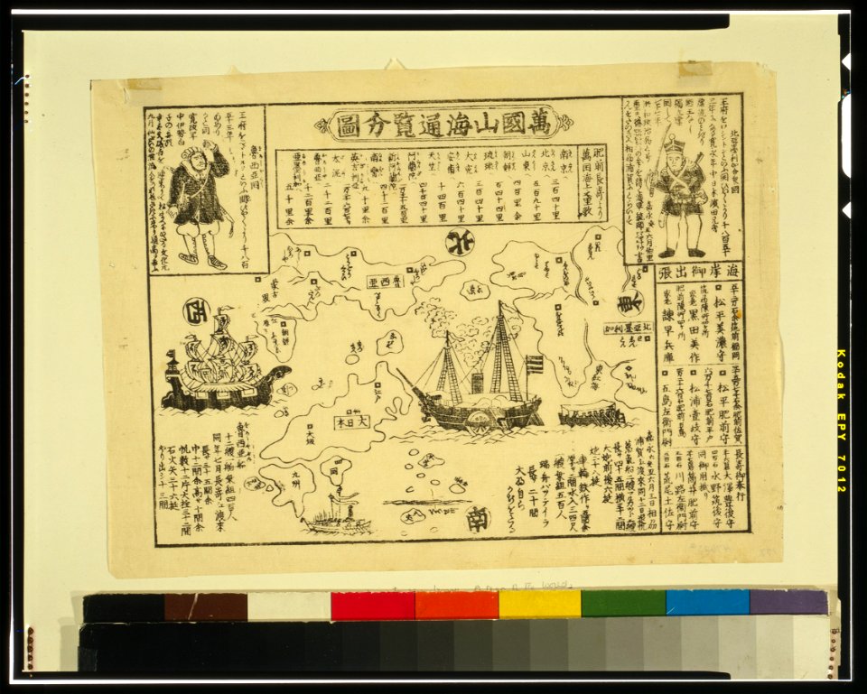
19th-century maps of japan
harvard university
1876 maps
lemuria
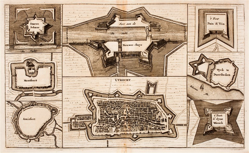
fortifications in the netherlands
wijk bij duurstede
old maps of the democratic republic of the congo
lake tanganyika
maps by pieter schenk (i)
gerard valck
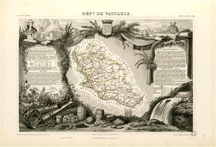
coats of arms of cities in vaucluse
works after joseph vernet
roch-ambroise cucurron sicard
frédéric-auguste laguillermie
dendermonde
lillo
maps
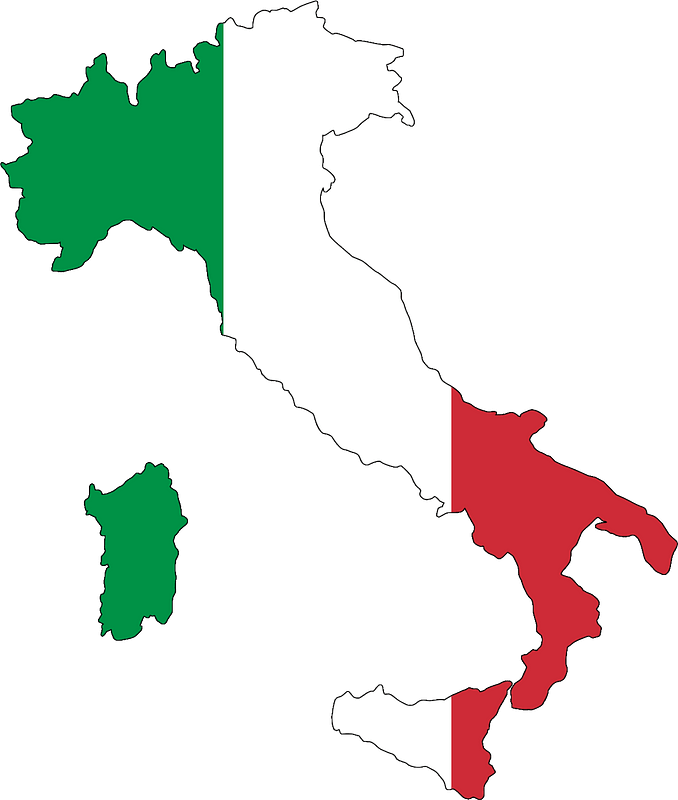
flag
svg retouched pictures
self-published work
circle
maps
travel
maps
cartography
maps
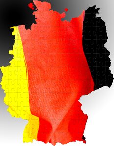
historical flag maps of germany
self-published work
symbols for hydrogeological maps
self-published work
mountain
green
symbols for hydrogeological maps
self-published work
travel
maps
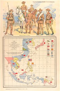
philippine sea
1898
old maps of scandinavia
maps with cartouches
coats of arms of cities in haute-marne
charles-guillaume étienne
coats of arms of chalon-sur-saône
alphonse de lamartine
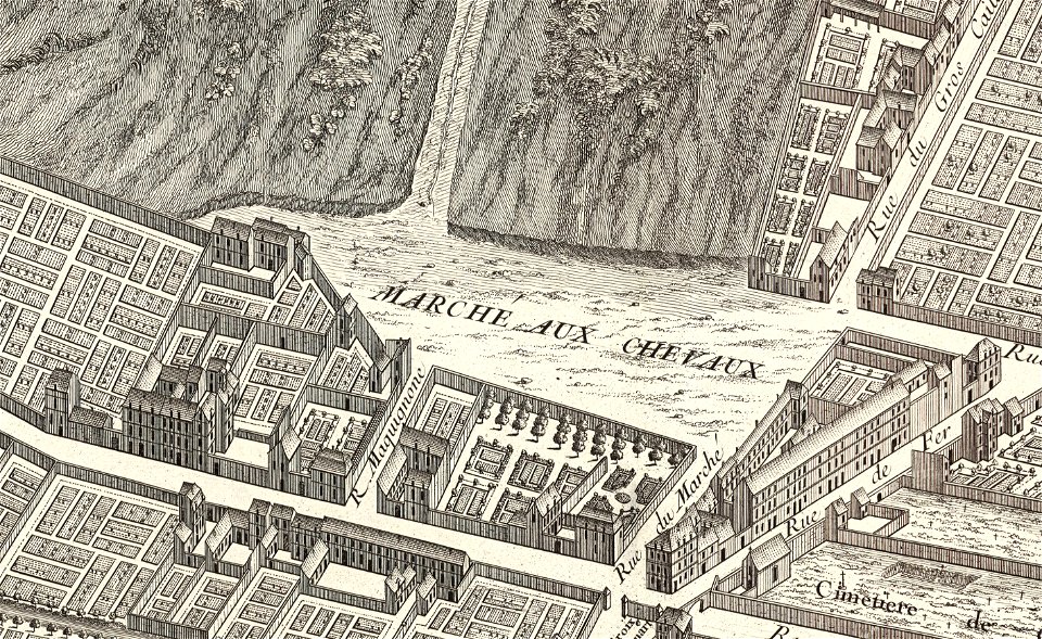
turgot map of paris
marché aux chevaux
images from bristol past and present (1882)
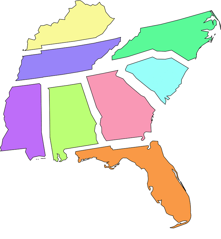
bristol
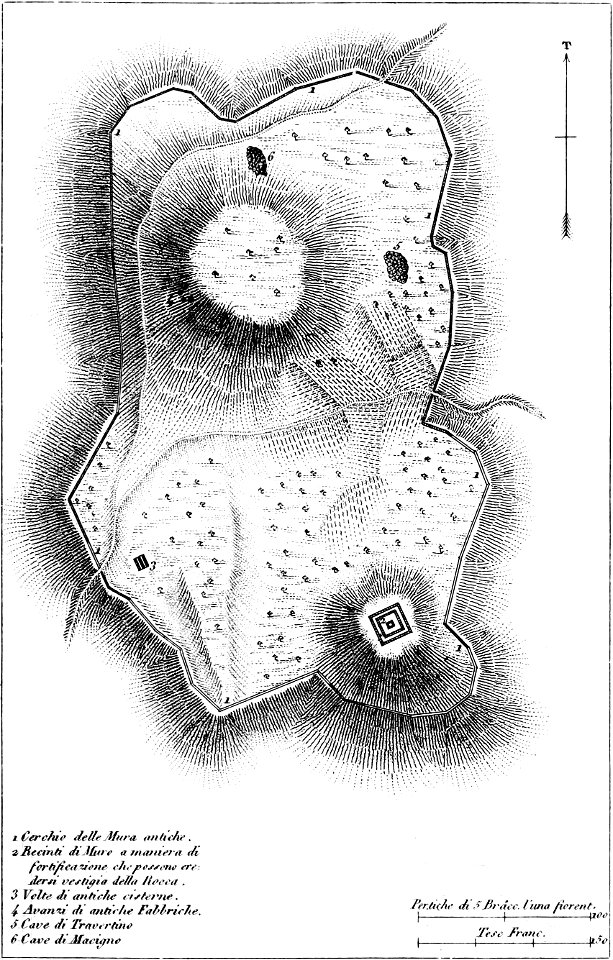
maps of archaeological sites in italy
old maps of tuscany
historical images of the place dauphine (paris)
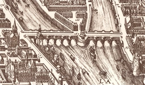
historical images of pont neuf
maps made in the 18th century
johann baptist homann
maps made in the 17th century
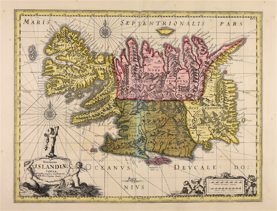
old maps of iceland
old maps of north america
1843 maps
maps made in the 18th century
johann baptist homann
maps made in the 17th century
jan janssonius
maps made in the 18th century
gerard valck
bamako in the 1880s
military maps
maps made in the 17th century
jan janssonius
cimetière de clamart
turgot map of paris
maps of the west-indische compagnie
1747)
maps of the west-indische compagnie
1773
maps by willem and johannes blaeu
copper engraving
david rumsey historical map collection – derivative files
turgot map of paris
hawaii in the 1810s
louis choris
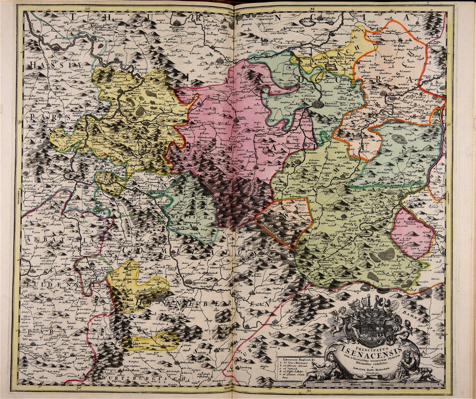
collections of staatsbibliothek bamberg
franconian switzerland
16th-century maps of the black sea
maps made in the 16th century
miniature speed atlas (1627) pieter van den keere
pieter van der keere
miniature speed atlas (1627) pieter van den keere
pieter van der keere
lithographs of new york city
chromolithograph
maps in the library of congress
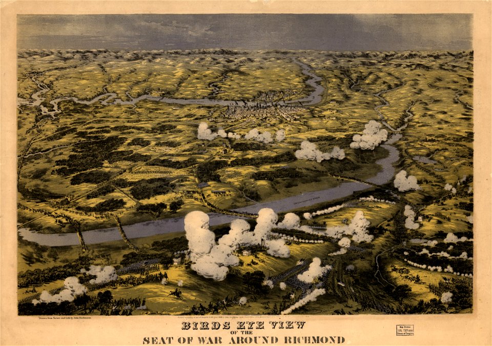
1862 maps of virginia
maps in the library of congress
1862 maps of virginia
jerusalem in the 16th century
maps by sebastian münster
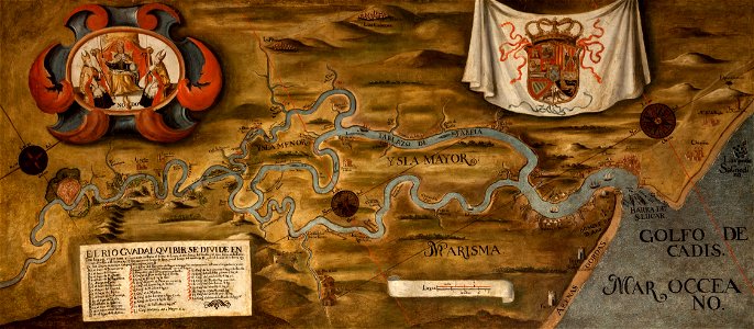
guadalquivir
1760 maps
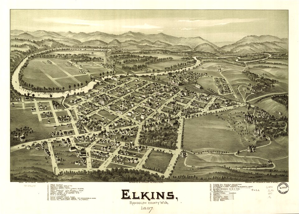
west virginia
elkins
charts and maps of the royal museums greenwich
1682 maps
maps
flag
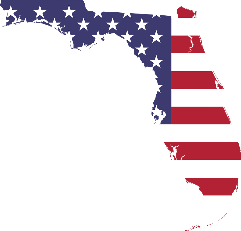
maps
usa
maps
usa
maps
flag
maps
girl
background
maps
christmas
maps
maps with cartouches
atlas van der hagen
18th-century maps of hispaniola
1780 in the caribbean
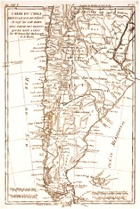
19th-century maps of argentina
1780 in south america
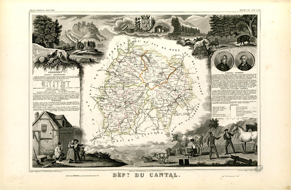
coats of arms of cities in cantal
pierre laurent buirette de belloy
fonds ancely - bibliothèque municipale de toulouse - maps
louis-marie de la révellière-lépeaux
fonds ancely - bibliothèque municipale de toulouse - maps
frédéric-auguste laguillermie
travel
maps
symbols for hydrogeological maps
self-published work
symbols for hydrogeological maps
self-published work
symbols for hydrogeological maps
self-published work
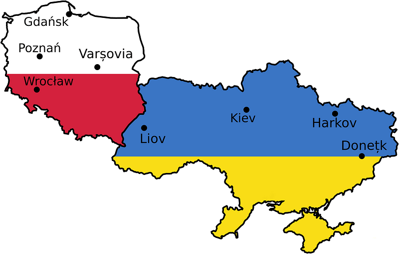
maps
flag
maps
flag
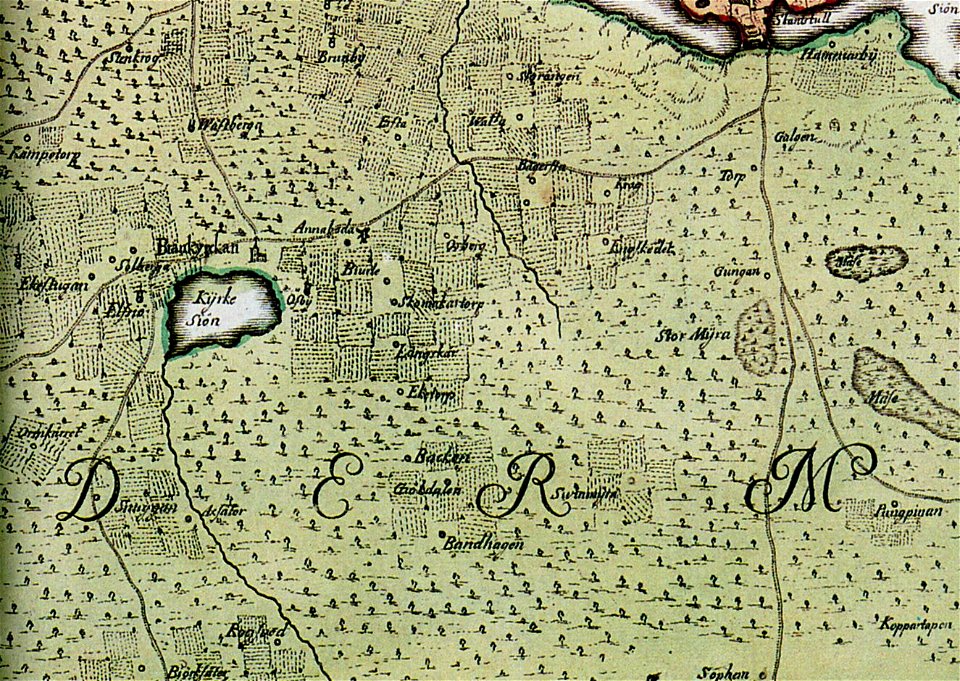
brännkyrka kyrka
älvsjö gård
maps of thionville city walls
louis
maps from the mechanical curator collection
british battles on land and sea
1880s images of paris
1882 maps
grand
bill
maps in the library of congress
california
maps made in the 17th century
old maps of skåne
maps made in the 18th century
gerard valck
ukiyo-e by unknown artists
nagasaki-e
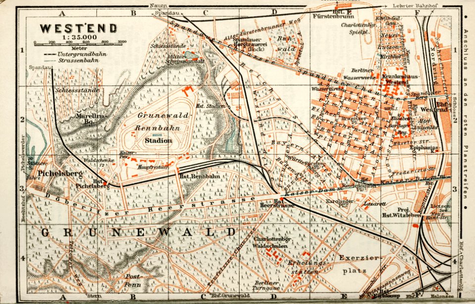
wagner & debes
1914 in berlin
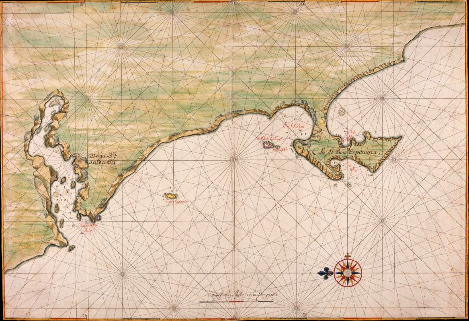
johannes vingboons
1665
9201 - 9300 of 357,638
Next page
/ 3577