Log in
All resources
Create a design
Tools
357,638 Free Images of Maps
pages with maps
cc-zero
quality images
quality images by jebulon
quality images missing sdc depicts
architecture
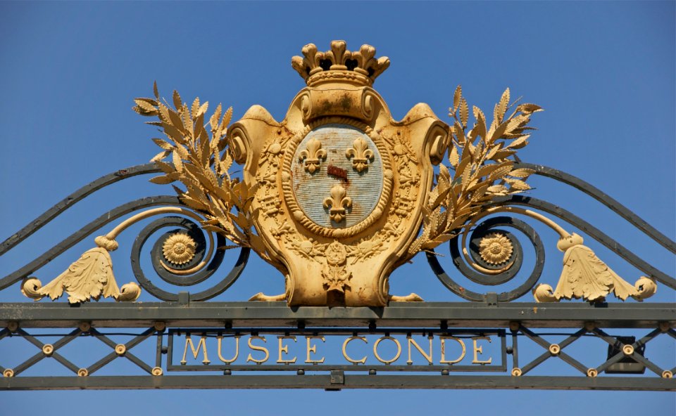
base mérimée
cultural heritage monuments in france with known ids
mérimée with pa parameter
monuments historiques classés
travel
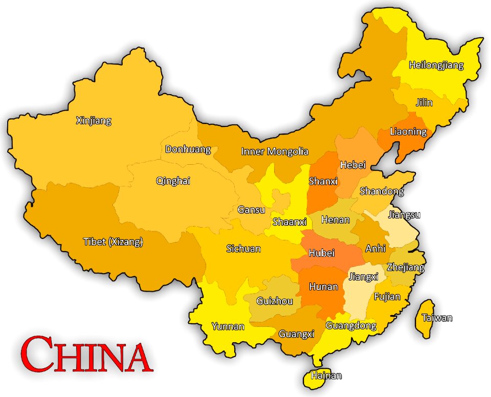
maps
self-published work
russian
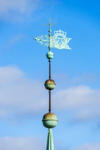
symbol
maps
architecture
facade
self-published work
architecture
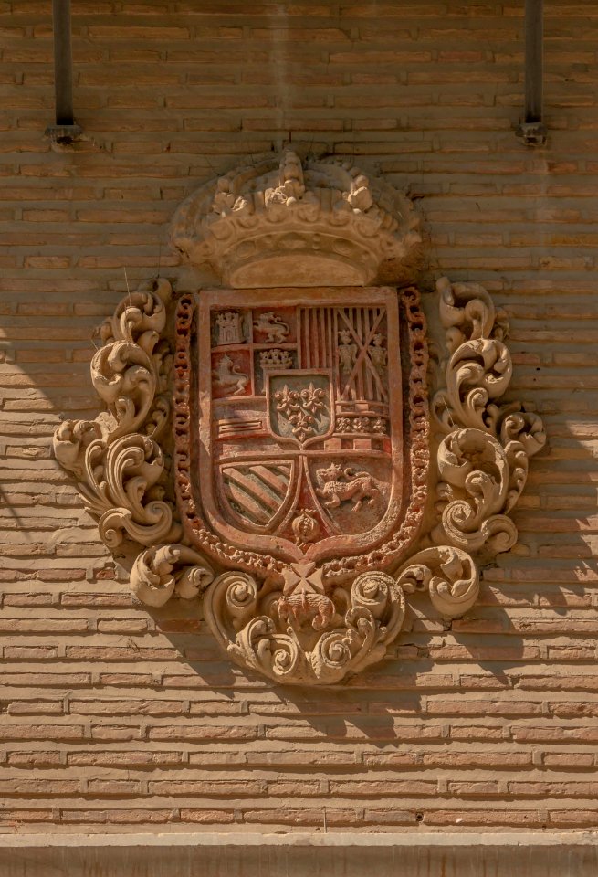
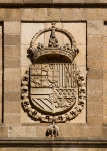
reliefs of coats of arms in the province of granada
gold
architecture
facade
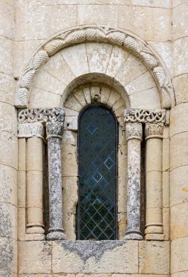
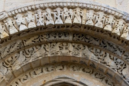
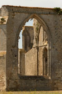
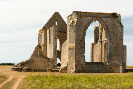
romanesque church portals in charente-maritime
architecture
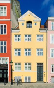
february 2016 denmark photographs
trinitatis kirke
sidewalk
facade
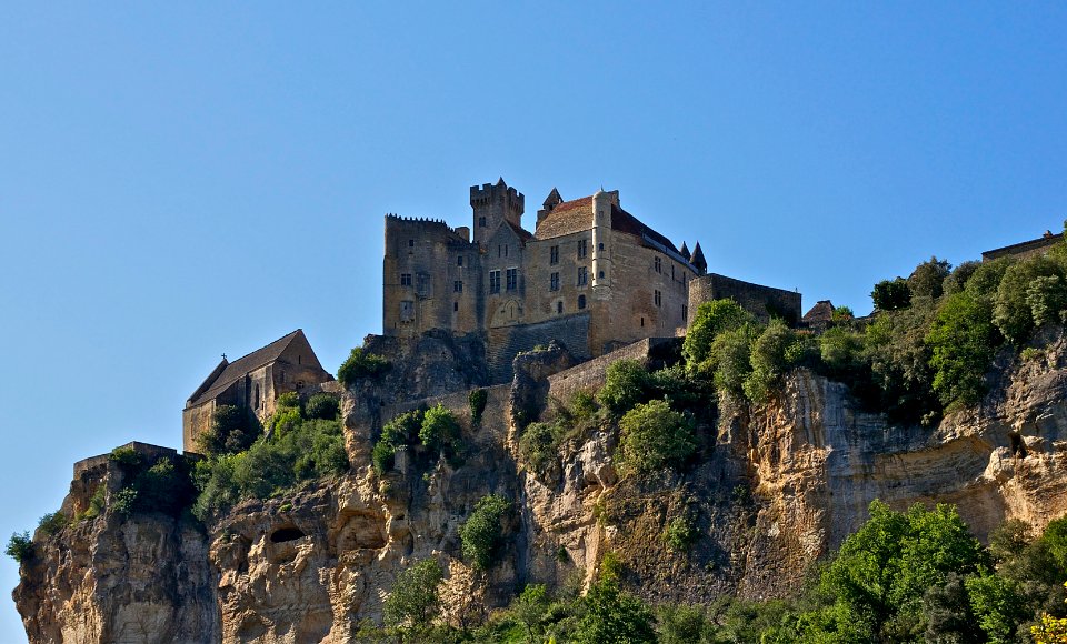
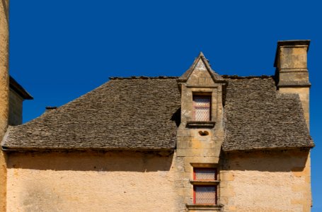
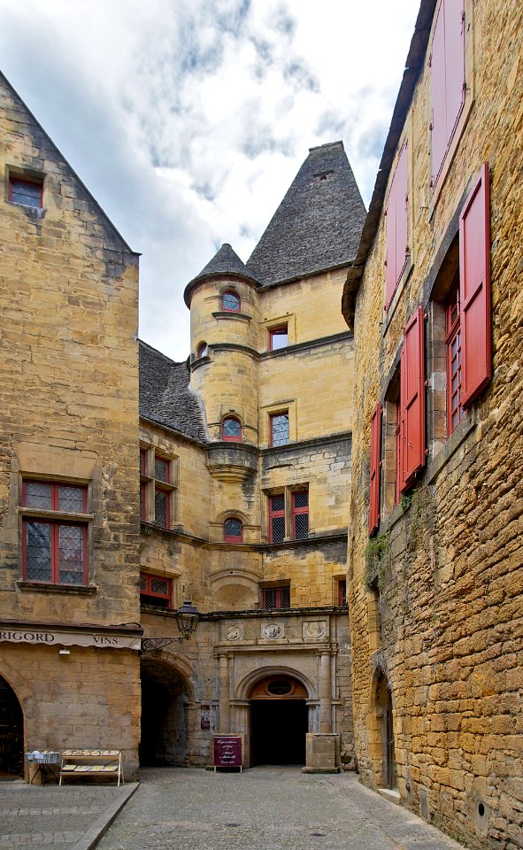
2011 in dordogne
périgord
self-published work
pages with maps
wildlife
animals
self-published work
pages with maps
self-published work
pages with maps
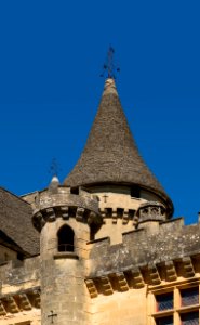
château de l'herm
facade
wooden doors in paris
architecture
animal bones on black background
animals
architecture
facade
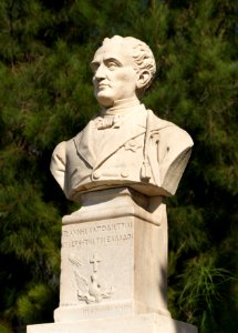
ioannis kapodistrias
2015 in aegina
self-published work
pages with maps
architecture
travel
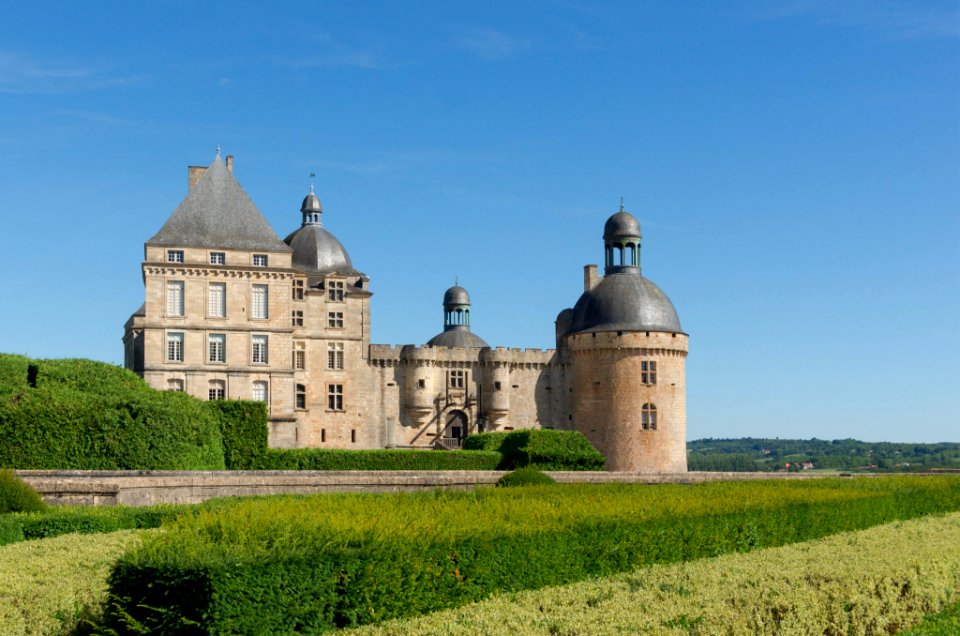
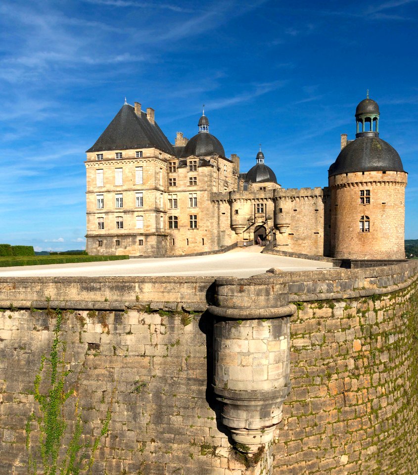
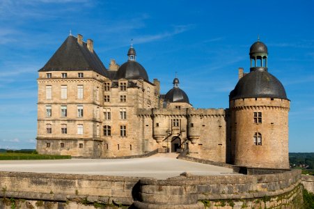
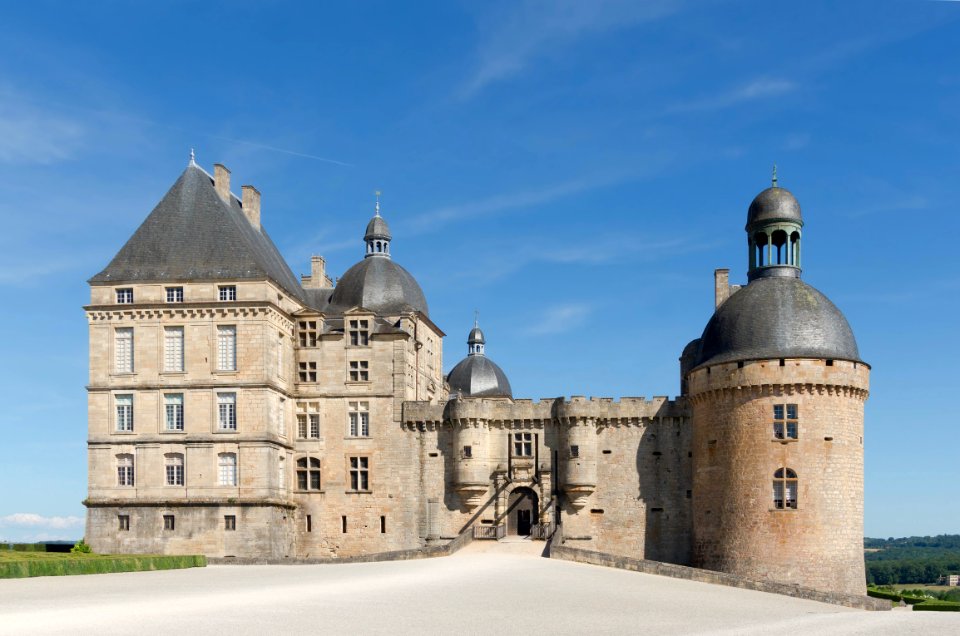
château de hautefort
architecture
self-published work
pages with maps
plants
flower
architecture
cherub
architecture
gold
monochrome
people
château de beynac
architecture
château de hautefort
architecture
2011 in dordogne
architecture
self-published work
architecture
village
tree
grisaille
gold
people of isla margarita
la guardia beach
yellow helmet
dust
pages with maps
architecture
architecture
grass
château de l'herm
architecture
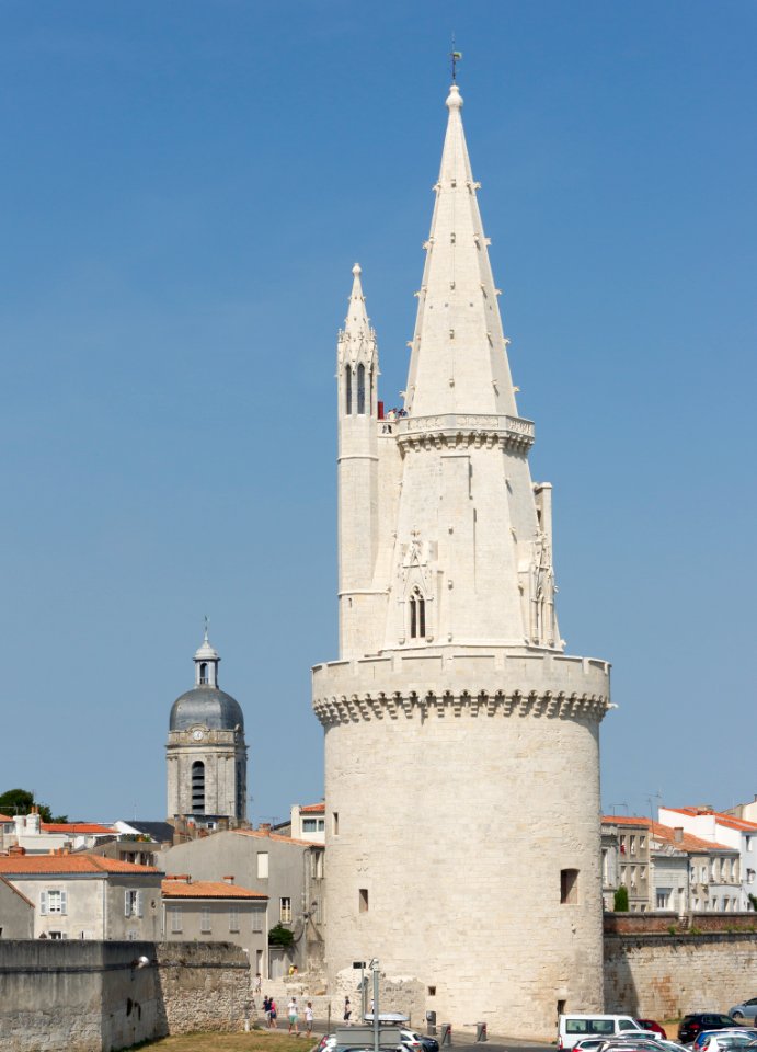
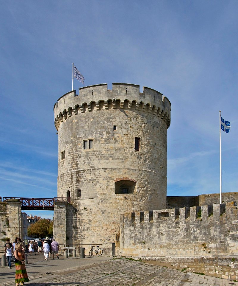
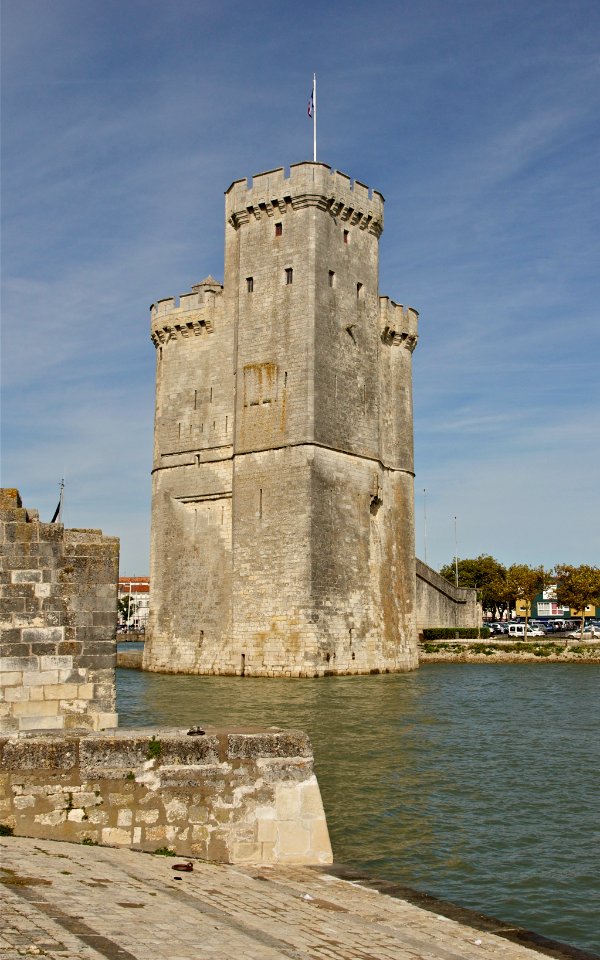
tour de la lanterne
architecture
self-published work
architecture
west facade of the monastery of san lorenzo de el escorial
self-published work
château de hautefort
architecture
architecture
stone relief
architecture
stone stairs
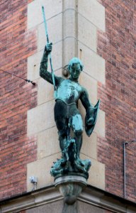
statues of people of france
self-published work
february 2016 denmark photographs
self-published work
landscape
sea
landscape
sea
architecture
grass
architecture
travel
self-published work
pages with maps
self-published work
pages with maps
self-published work
architecture
2011 in dordogne
architecture
château de hautefort
architecture
architecture
village
architecture
village
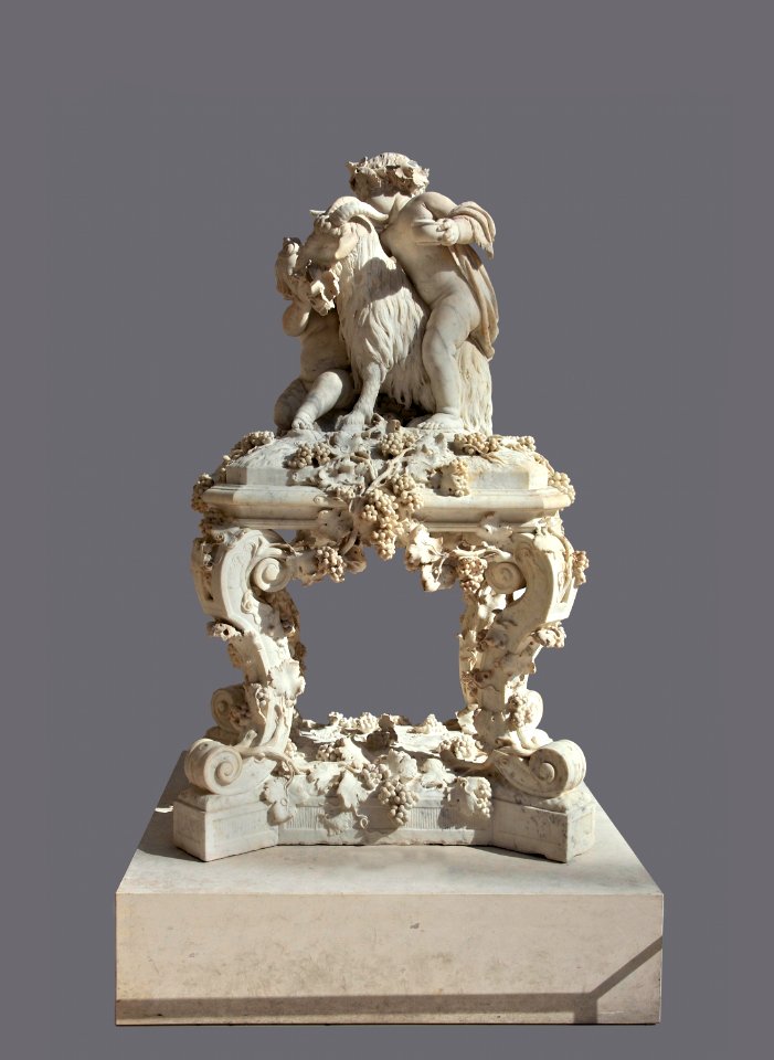
17th-century sculptures in the louvre
self-published work
crowns in crest
blue
architecture
village
mountain
maps
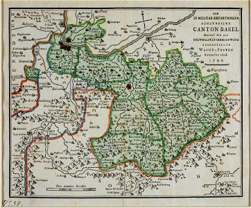
maps of the canton of basel-landschaft
old maps of switzerland
cartography
maps
maps in the library of congress
1782 maps of north america
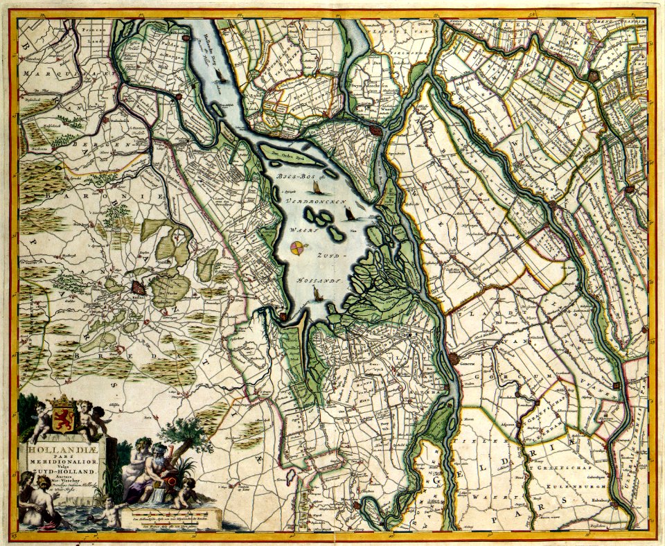
map of paris by claes jansz. visscher - derivate files
churches in paris on the maps
maps made in the 18th century
gerard valck
gerard valck
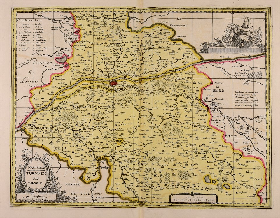
touraine
old maps of athens
1805
maps made in the 17th century
gerard valck
university of toronto wenceslas hollar digital collection
old county maps of sussex
historic views of konstanz
bishopric of constance
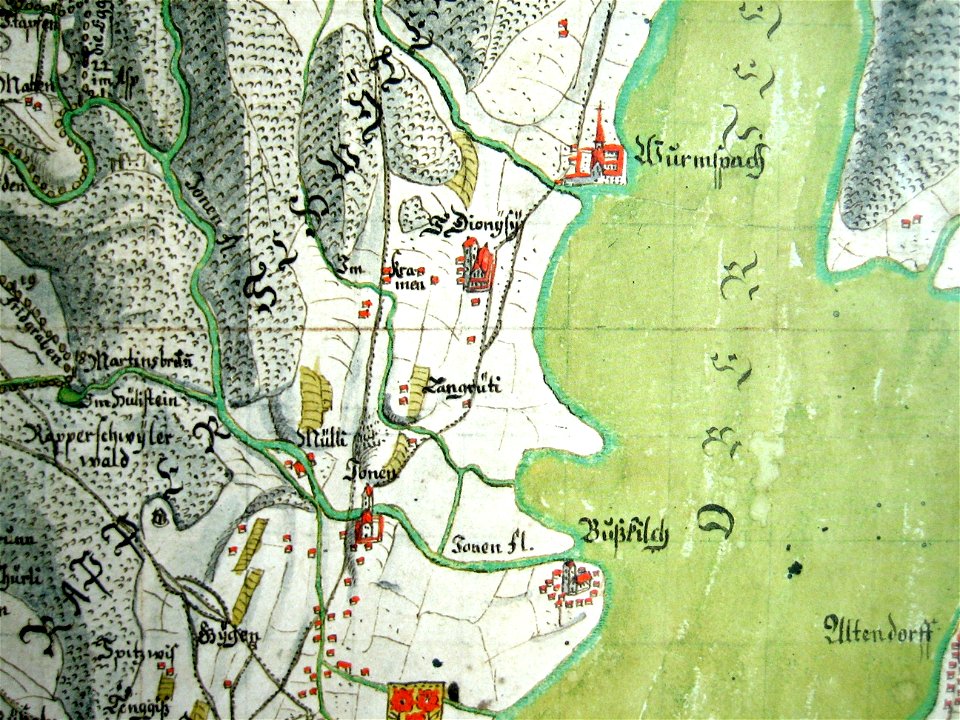
mariazell wurmsbach abbey
gygerkarte
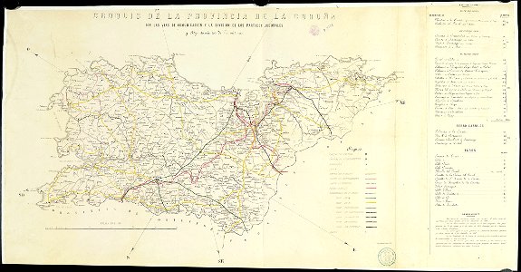
old maps of the province of a coruña
litografía de julio donón
atlantis magni tomus primus (biblioteca comunale di trento)
maps made in the 17th century
ottomar elliger (ii)
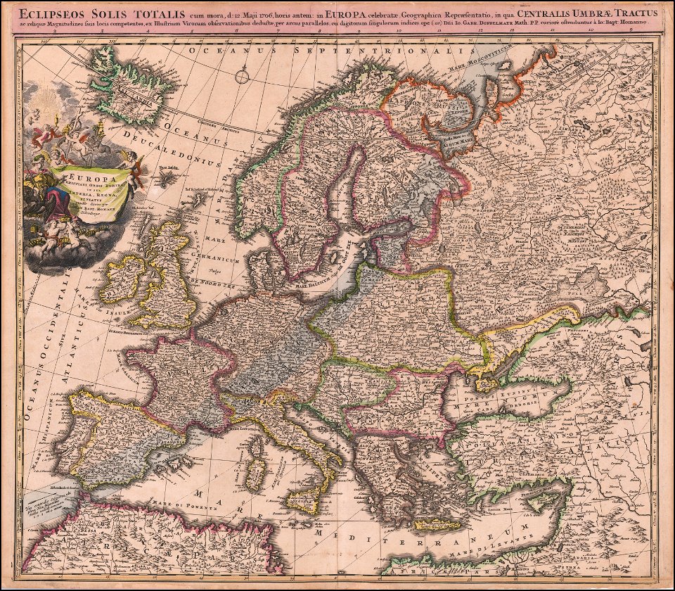
1726
maps with cartouches
atlas van der hagen
17th-century maps of the netherlands
maps with cartouches
maps with cartouches
atlas van der hagen
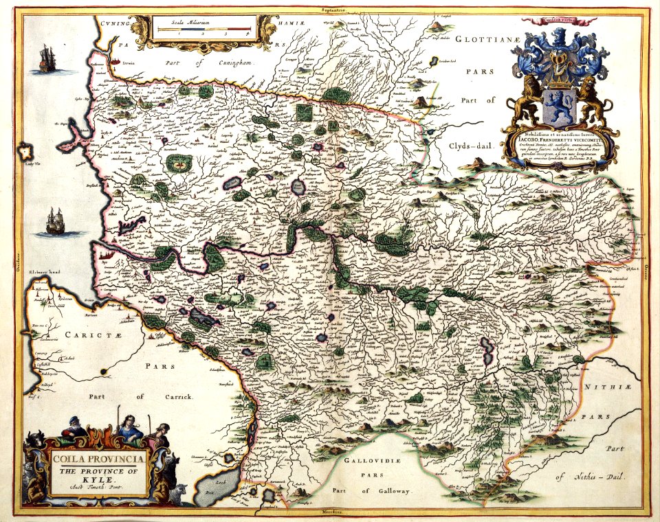
17th-century maps of france
maps with cartouches
maps with cartouches
atlas van der hagen
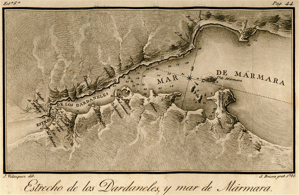
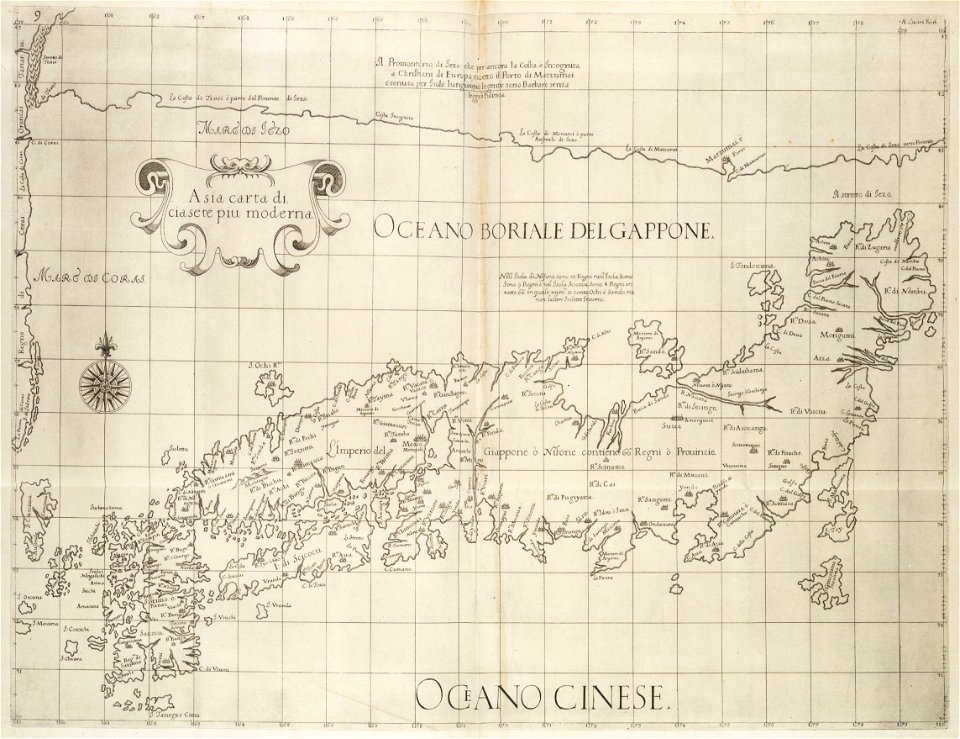
maps of the sea of marmara
viage á constantinopla
maps made in the 17th century
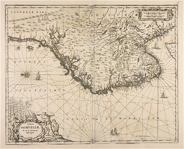
danimarca
atlantis magni tomus tertius (biblioteca comunale di trento)
maps made in the 17th century
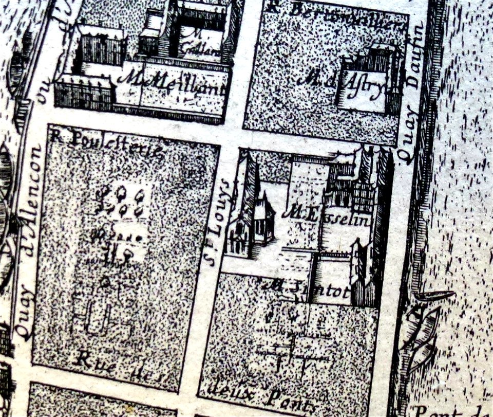
1652 gomboust map of paris - derivative files
old maps of île saint-louis
dell'arcano del mare
harvard university
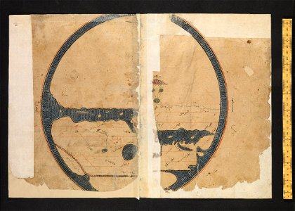
arabic-language manuscripts
bodleian library
collections de la bibliothèque nationale et universitaire de strasbourg
johann baptist homann
gerard valck
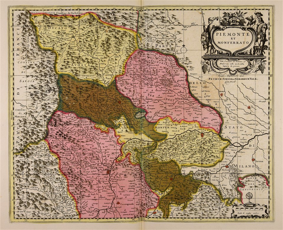
piedmont
o. h. bailey
1880 maps
ukiyo-e by unknown artists
1870s maps of the world
maps of gravelines city wall
frederick de wit
maps with cartouches
atlas van der hagen
maps with cartouches
old maps of milan
maps with cartouches
old maps of italy
old maps of mongolia
maps with cartouches
maps with cartouches
atlas van der hagen
atlas van der hagen (volume 4)
maps with cartouches
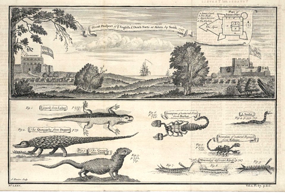
accra
1745
johann baptist homann
1706 maps of europe
9501 - 9600 of 357,638
Next page
/ 3577