Log in
All resources
Create a design
Tools
357,638 Free Images of Maps
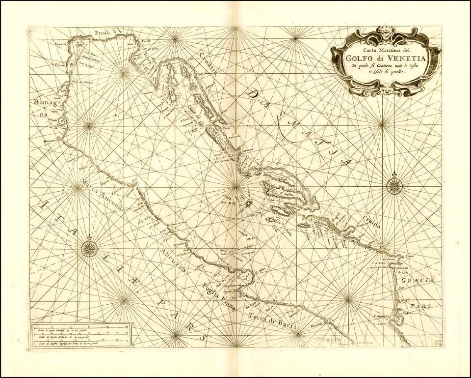
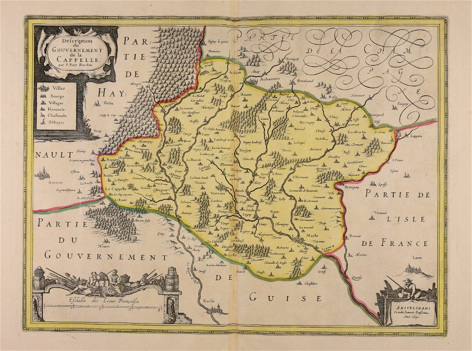
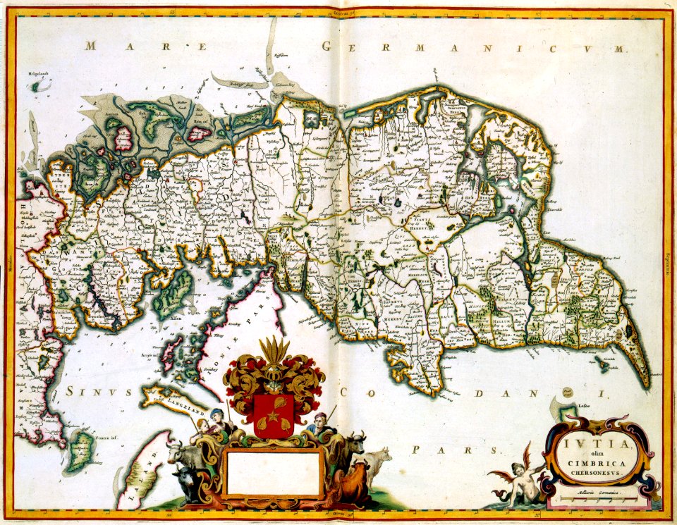
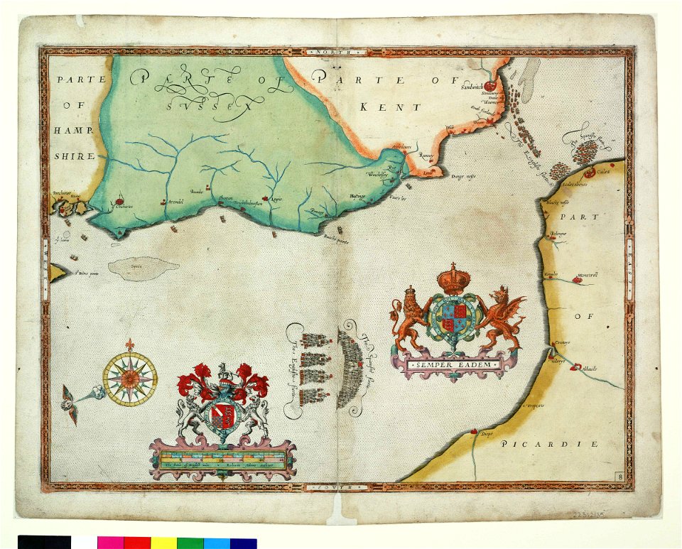
maps made in the 17th century
atlantis magni tomus quartus (biblioteca comunale di trento)
gerard valck
maps by pieter schenk (i)
atlantis magni tomus secundus (biblioteca comunale di trento)
maps with cartouches
atlas van der hagen
jan janssonius
maps in the library of congress
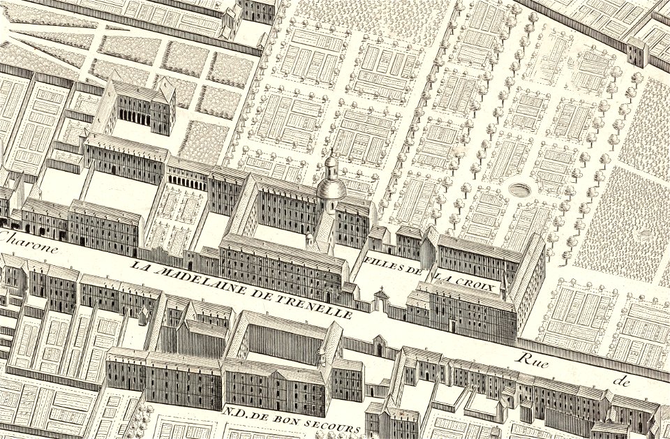
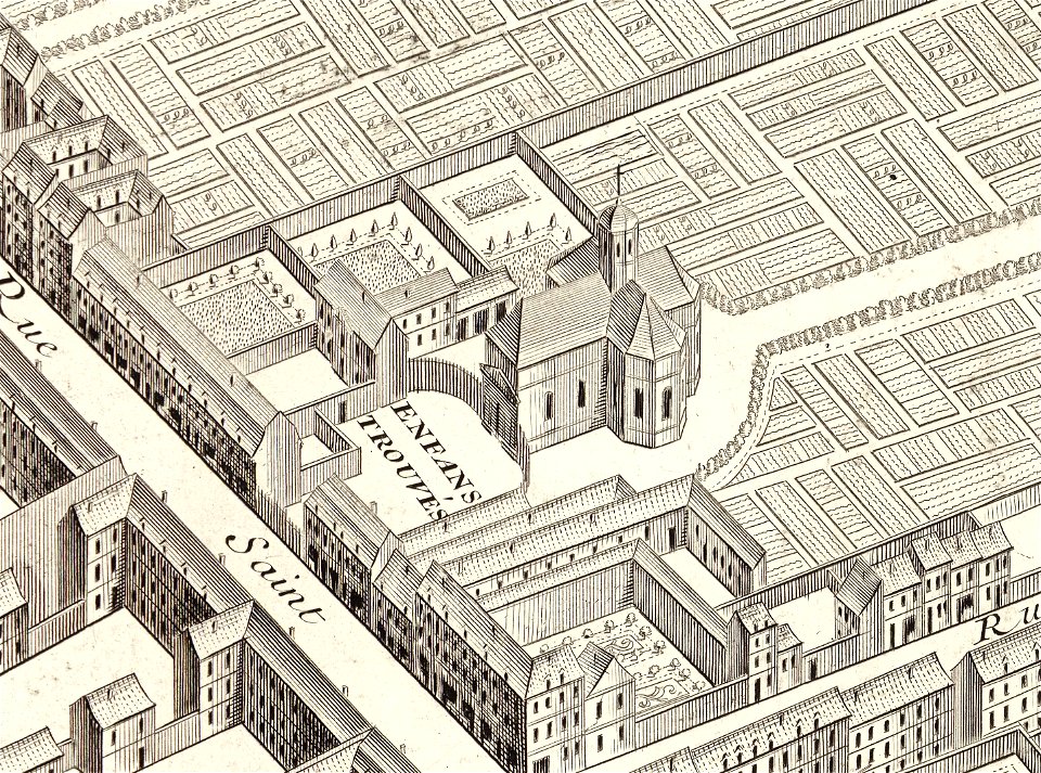
turgot map of paris
vincenzo coronelli
1690s maps
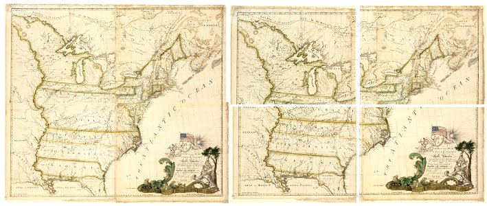
maps of the united states
maps made in the 17th century
jan janssonius
maps made in the 17th century
jan janssonius
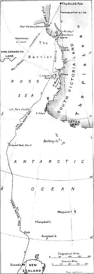
the worst journey in the world (1922
south pole
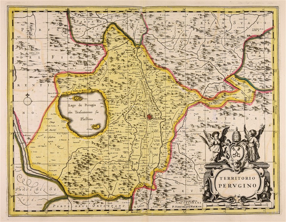
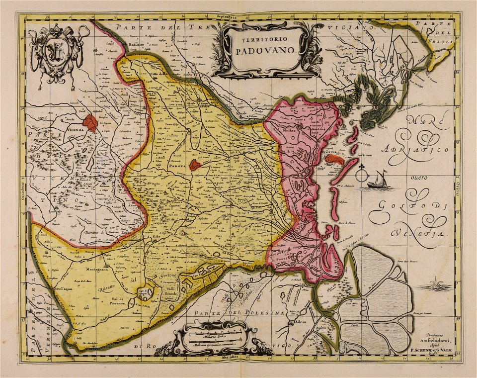
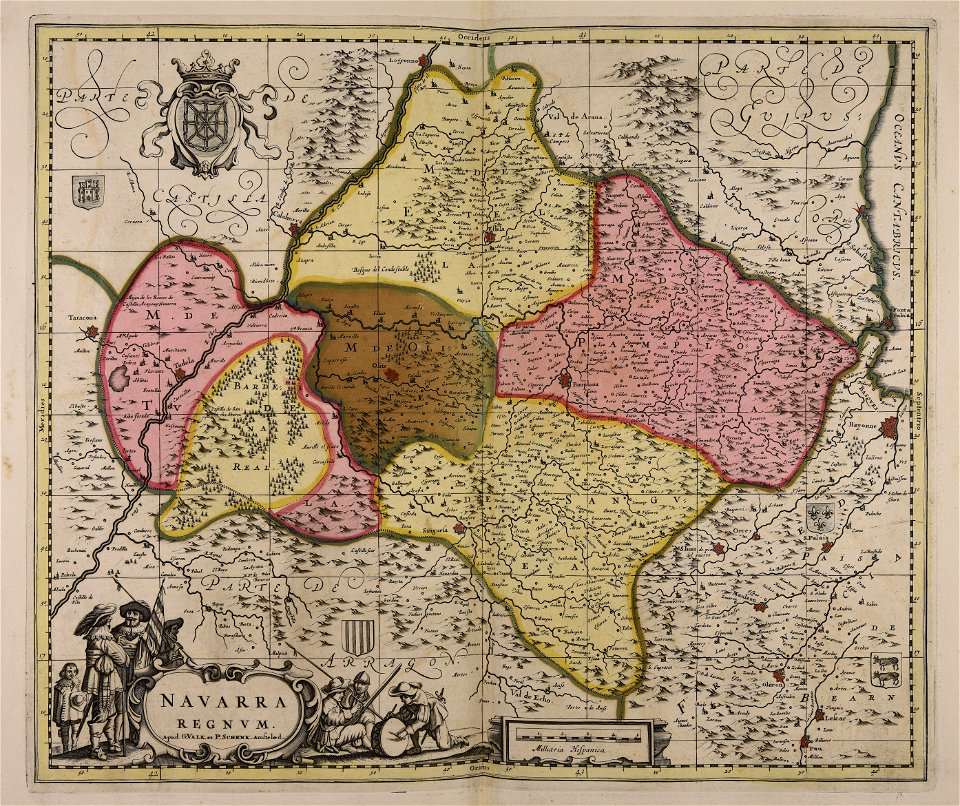
maps made in the 17th century
gerard valck
maps in the library of congress
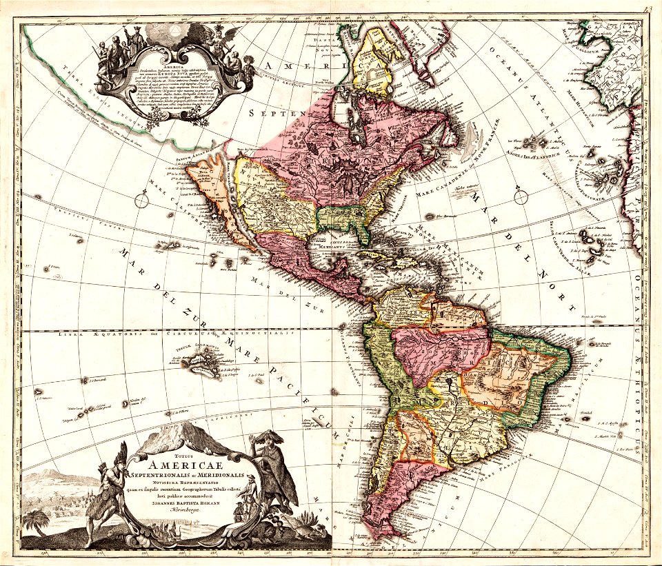
1782 maps of north america
david rumsey historical map collection – derivative files
turgot map of paris
maps made in the 17th century
gerard valck
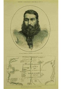
kandahar in the 19th century
thomas dewell scott
john brydon (printseller)
thomas vivares
dutch 17th-century prints in the rijksmuseum amsterdam
maps in the rijksmuseum amsterdam
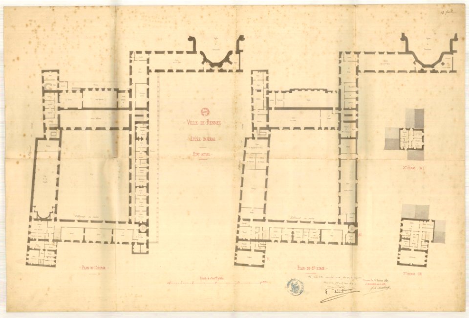
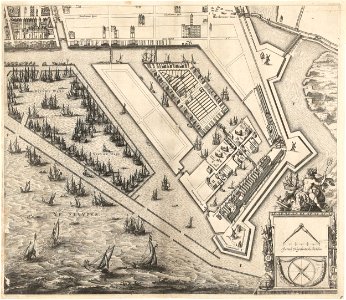
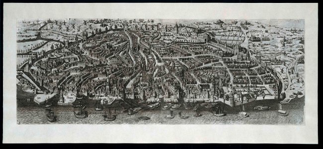
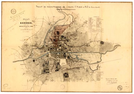
jean-baptiste martenot
old maps of rennes
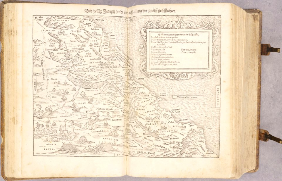
old maps of the holy land
old maps of palestine
maps made in the 17th century
nicolaes visscher ii
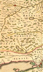
old maps of the tsardom of russia
history of valuyki
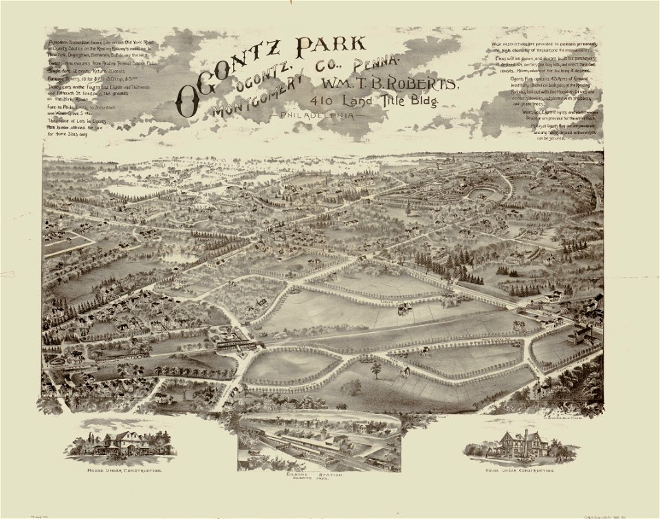
o. h. bailey
1880 maps
turgot map of paris
palais de la femme
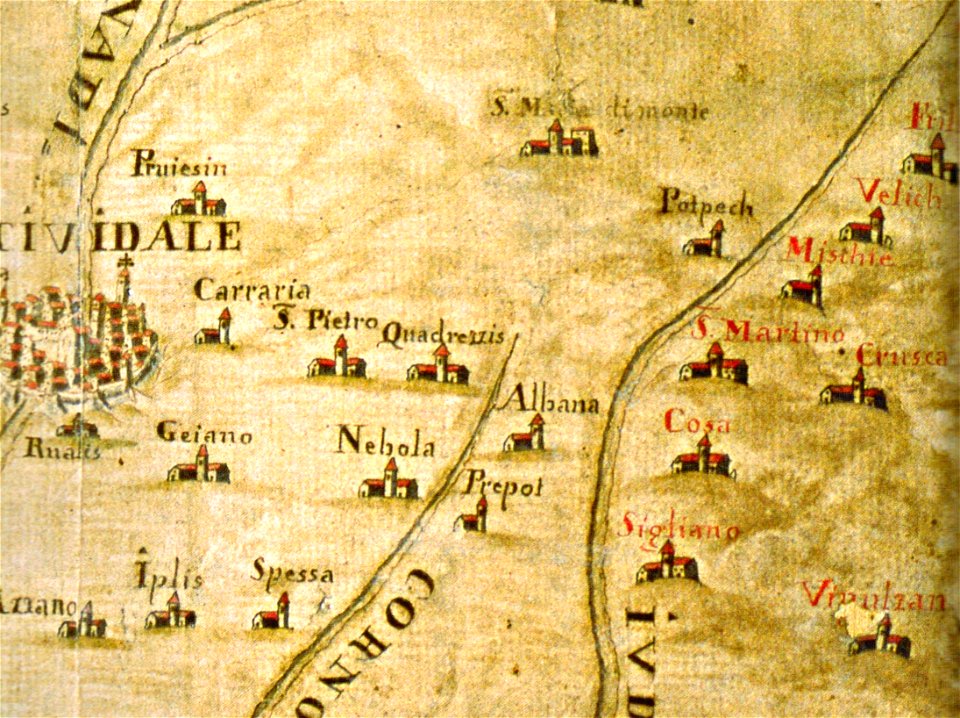
santuario della beata vergine di castelmonte
historical images of cividale del friuli
maps made in the 17th century
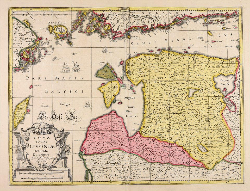
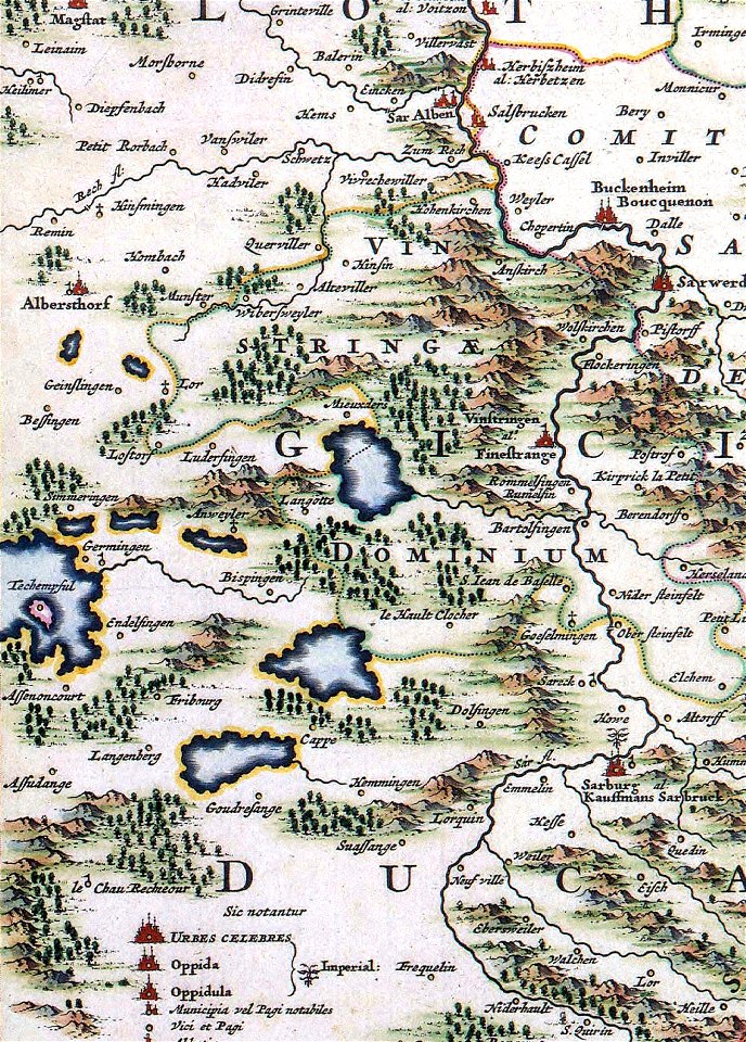
livonia
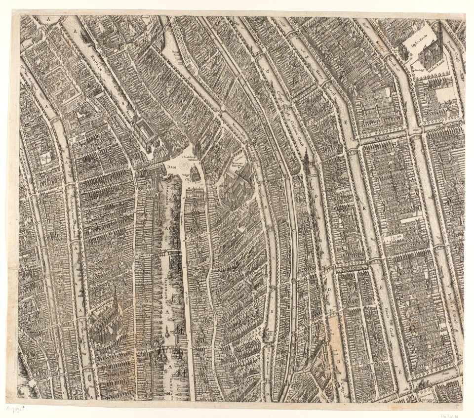
maps of paris by braun & hogenberg
maps of paris from paris musées
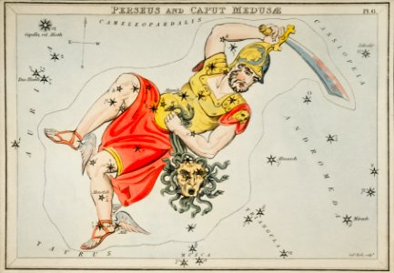
astronomy
maps
national flag of bangladesh
pd openclipart
self-published work
flag maps of russia
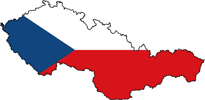
flags of czechoslovakia
self-published work
symbols for hydrogeological maps
self-published work
icons
maps
medieval
maps
coats of arms of cities in alpes-de-haute-provence
pierre gassendi
jean françois paul de gondi de retz
jean-baptiste colbert
cornell university library
jr
map collection of leibniz-institut für länderkunde
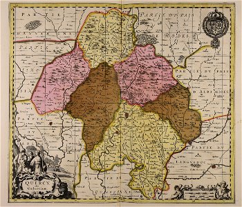
asie
maps with cartouches
atlas van der hagen
atlas van der hagen (volume 4)
maps with cartouches
atlas van der hagen (volume 4)
maps with cartouches
flemish prints in the british museum
etchings by wenzel hollar
atlas de wit 1698
frederick de wit
dutch 17th-century prints in the rijksmuseum amsterdam
maps in the rijksmuseum amsterdam
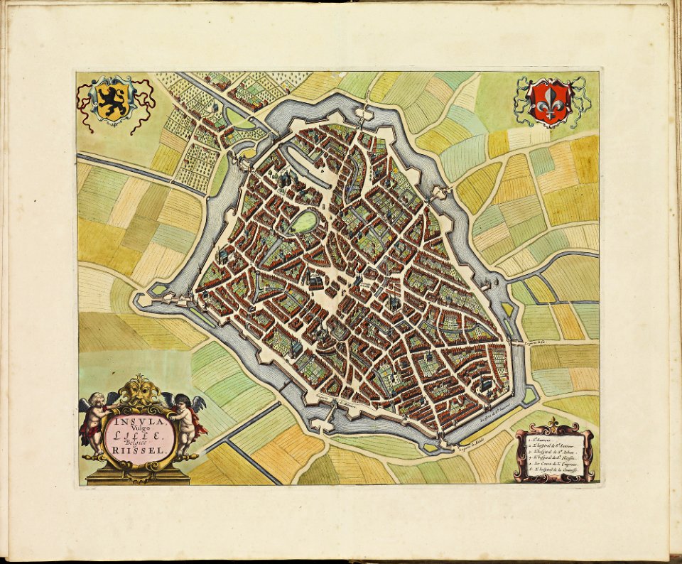
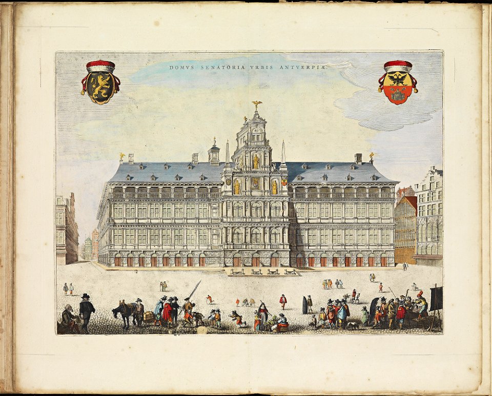
maps of antwerp city walls
frederick de wit
17th-century maps of maastricht
limmel (maastricht)
dutch 17th-century prints in the rijksmuseum amsterdam
maps in the rijksmuseum amsterdam
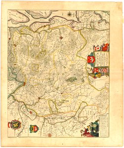
maps of territories in the burgundian circle
atlas novus (blaeu)
gerard valck
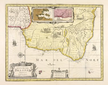
brazil
braunschweig in the 1880s
old maps of braunschweig
maps made in the 17th century
jan janssonius
maps made in the 17th century
gerard valck
maps made in the 17th century
gerard valck
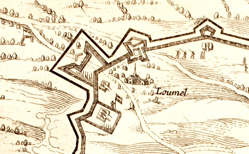
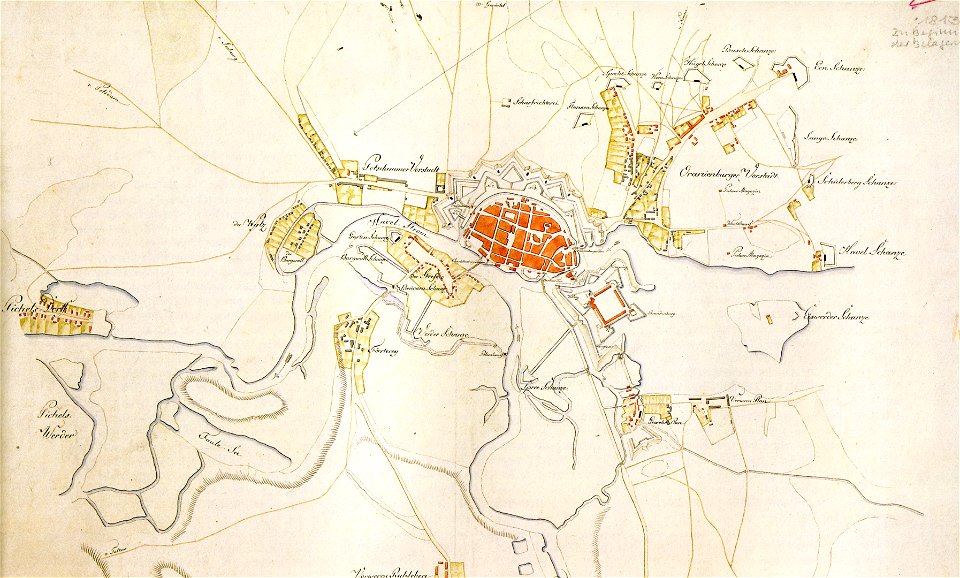
historical documents of the spandau citadel
festung spandau
maps in the library of congress
1707 maps
maps in the library of congress
1707 maps
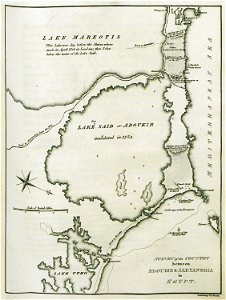
old maps of alexandria
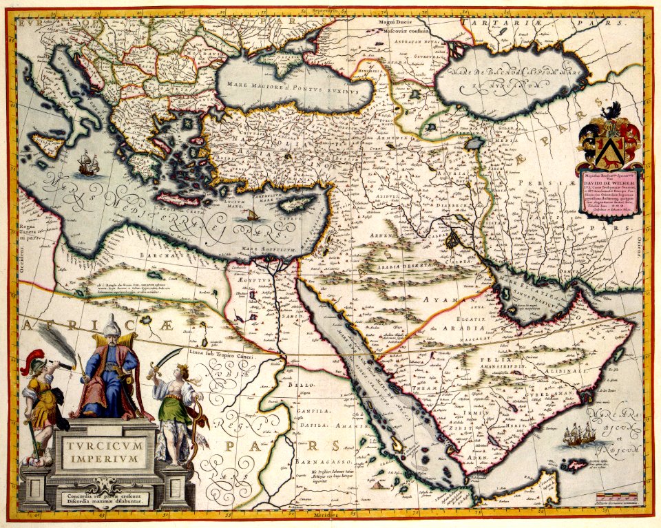
asia and africa
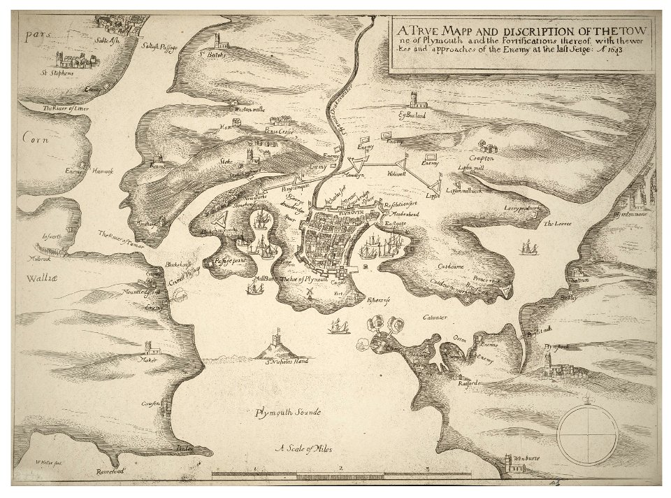
university of toronto wenceslas hollar digital collection
english civil war
atlantis magni tomus quartus (biblioteca comunale di trento)
maps made in the 18th century
maps made in the 17th century
gerard valck
maps made in the 17th century
gerard valck
hand-drawn maps and views of world war i battlefields by h.m.
maps made in the 16th century
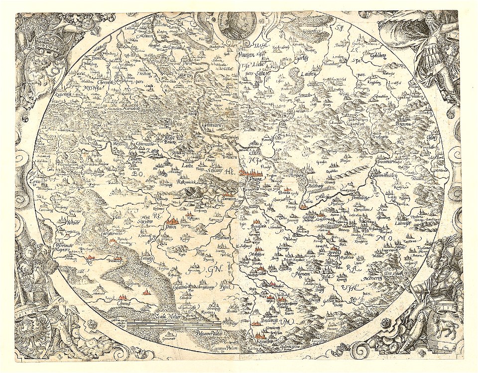
old maps of bohemia
maps made in the 17th century
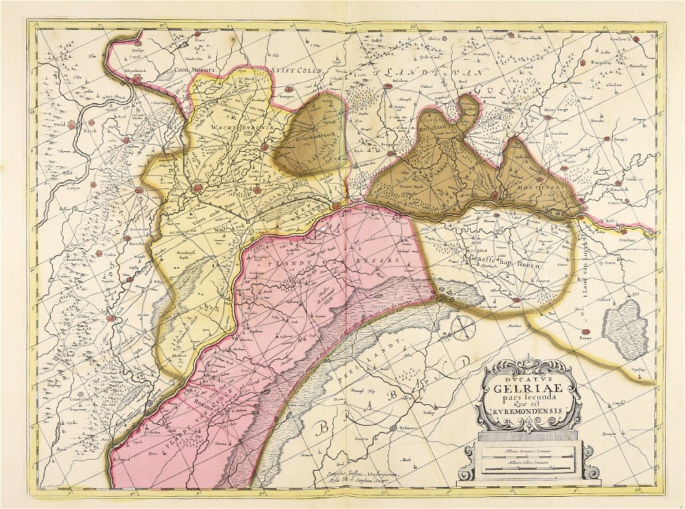
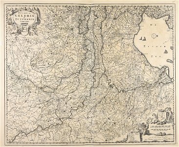
old maps of gelderland
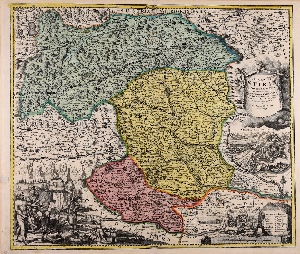
johann baptist homann
old maps of styria
david rumsey historical map collection – derivative files
turgot map of paris
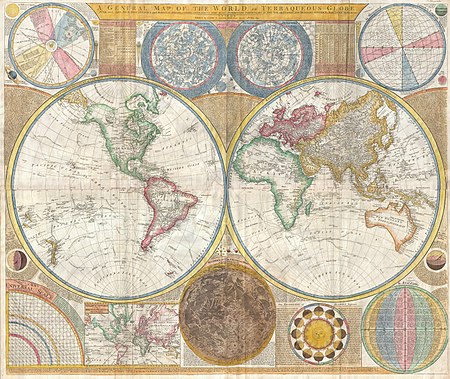
world
maps
background
maps
icons
maps
background
maps
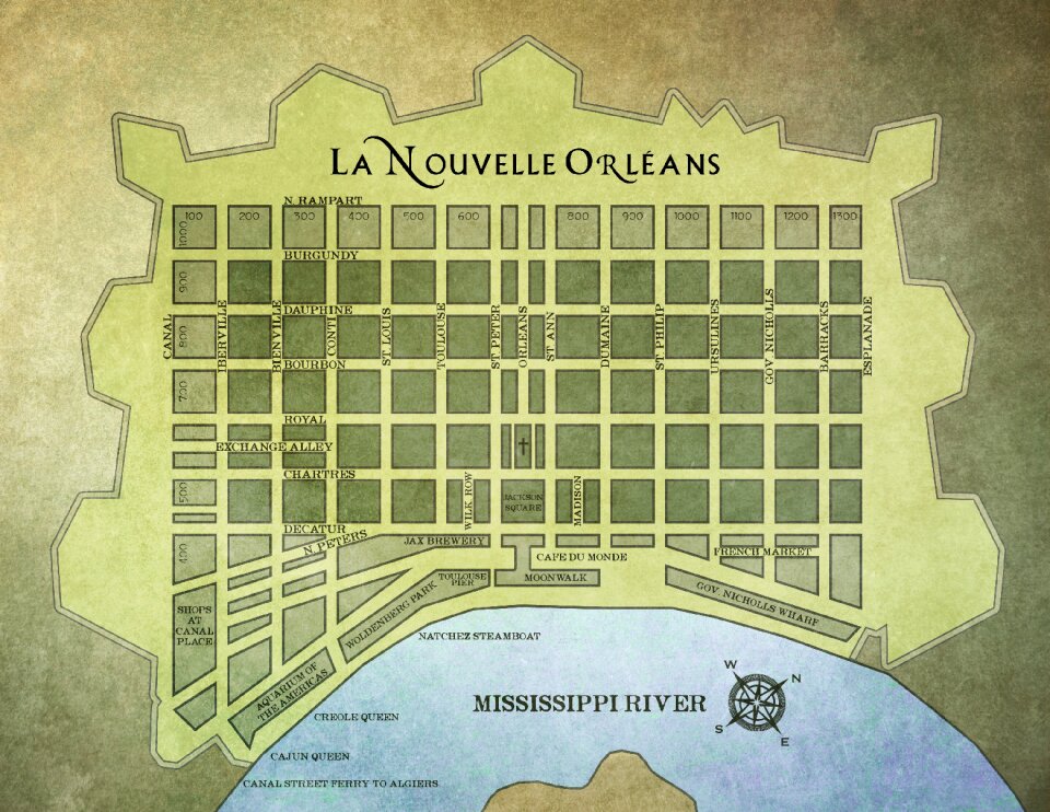
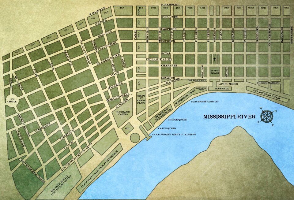
louisiana
maps
illustration
maps
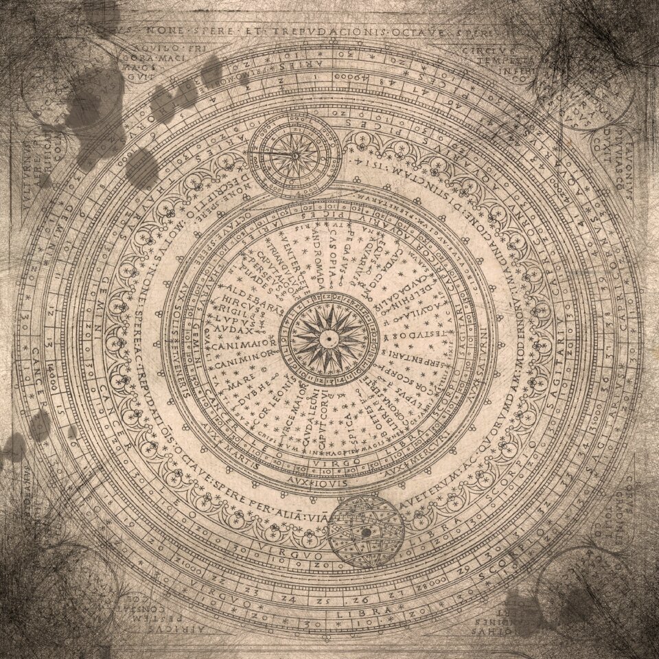
old constellation maps
maps by samuel dunn
symbols for hydrogeological maps
self-published work
maps
ball
black circle
location
self-published work
shaft
gps
pin
maps with cartouches
atlas van der hagen
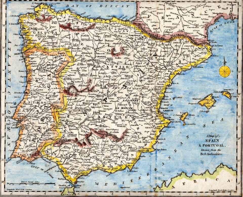
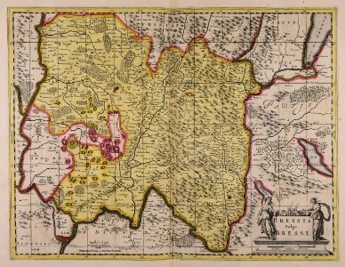
spain
maps
louisiana
maps
christmas
maps
world
blue
charts and maps of the royal museums greenwich
1590 maps
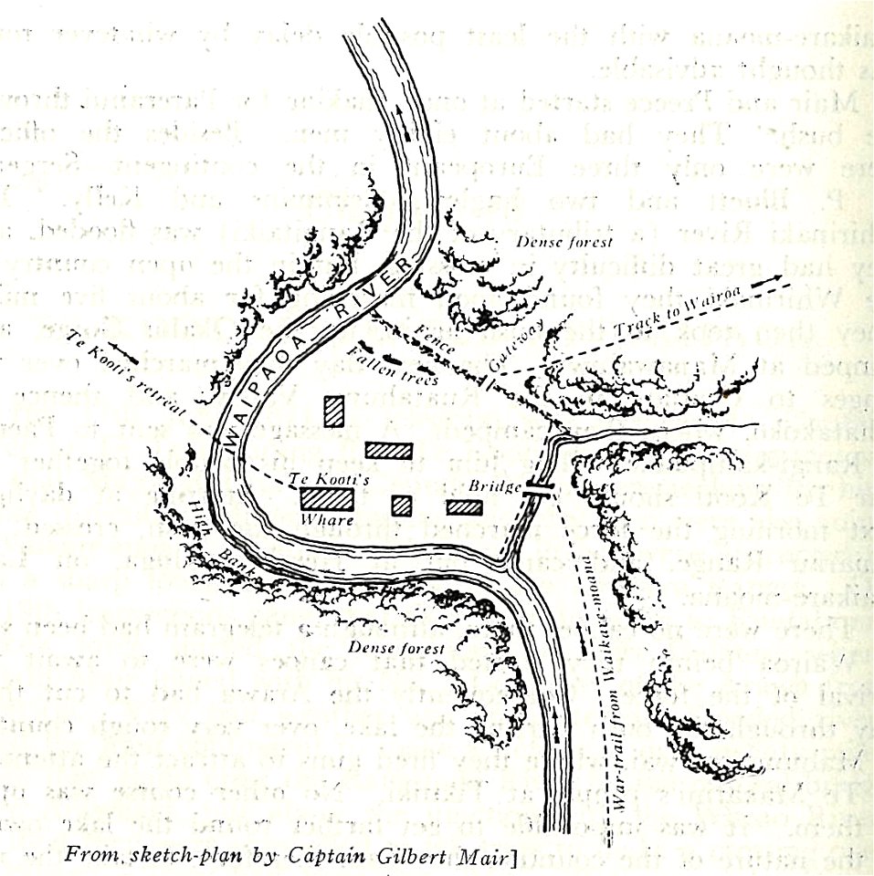
military history of new zealand
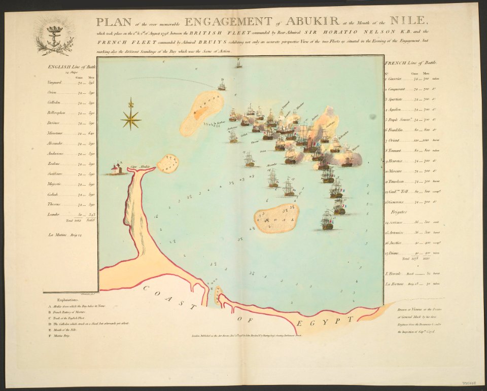
maps of battles
maps made in the 17th century
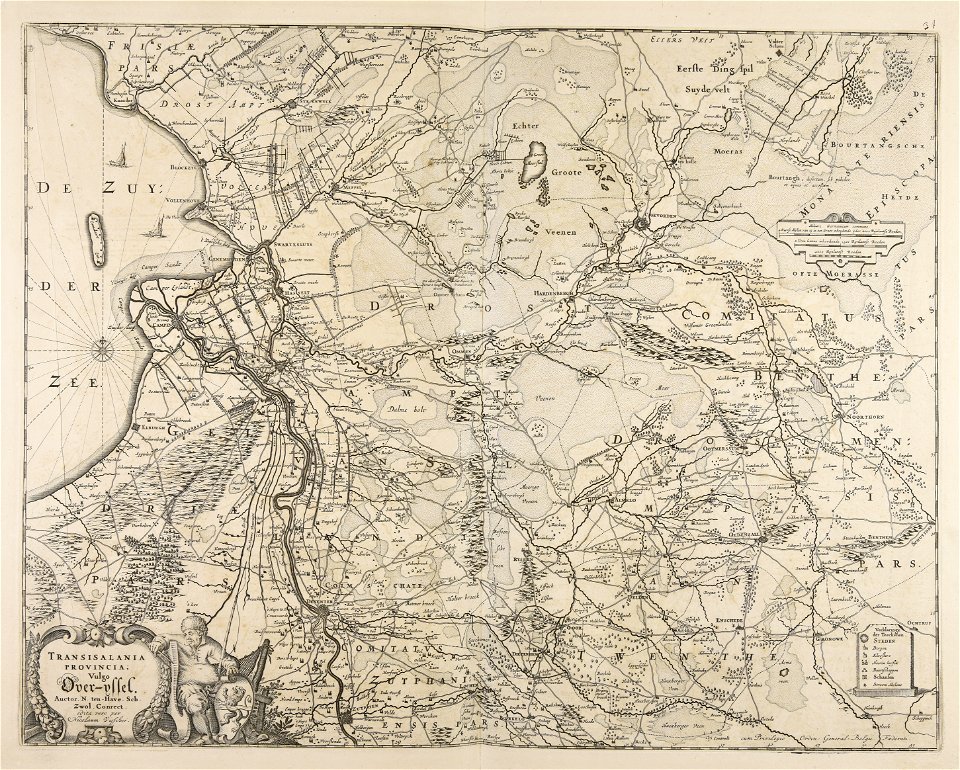
old maps of overijssel
university of toronto wenceslas hollar digital collection
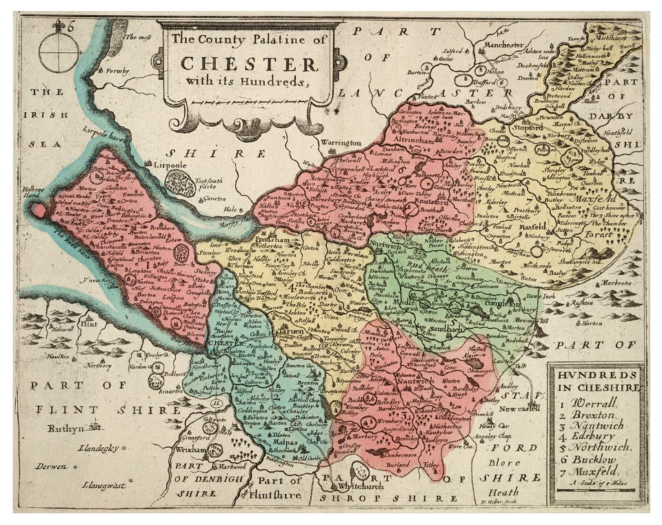
old county maps of cheshire
johann christoph winkler
old maps of prague
old maps of the world
1880 maps
maps made in the 17th century
gerard valck
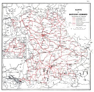
1912 in rail transport in germany
enzyklopädie des eisenbahnwesens
maps made in the 17th century
gerard valck
scotland in the early modern period
maps of battles
maps with cartouches
atlas van der hagen
maps made in the 17th century
jan janssonius
flemish 16th-century prints in the rijksmuseum amsterdam
maps of antwerp city walls
maps made in the 17th century
old maps of gelderland
pictorial history of the russian war 1854-5-6 by george dodd
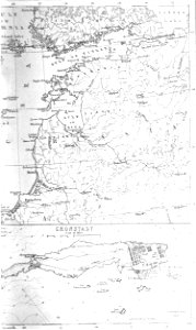
old maps of kronstadt
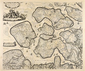
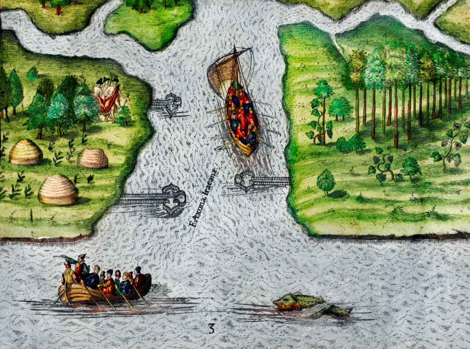
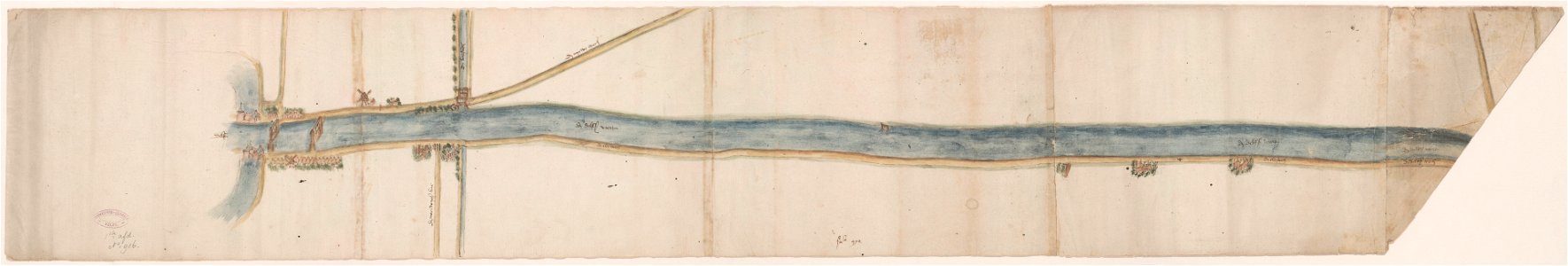
maps of waterways in the netherlands
collections of stadsarchief delft
cornell university library
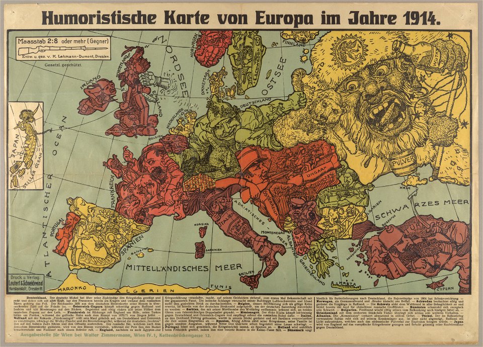
political cartoons
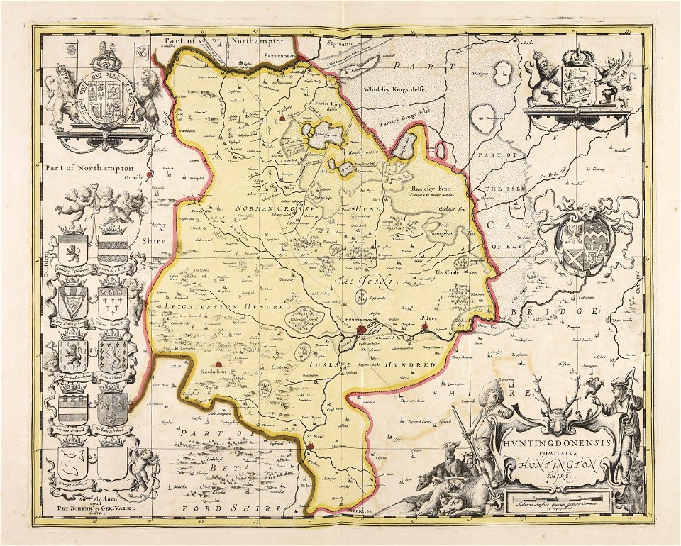
huntingdonshire
gerard valck
jean-baptiste martenot
1875 maps
fonds ancely - bibliothèque municipale de toulouse - maps
joseph-bernard abadie
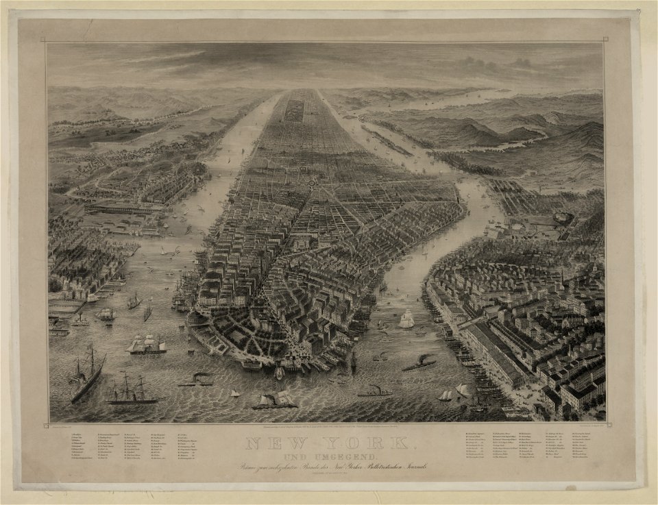
bird's eye view maps of new york city
1867 in new york city
maps
usa
maps
flag
9601 - 9700 of 357,638
Next page
/ 3577