Log in
All resources
Create a design
21 Free Images of Old Maps Of Brabant
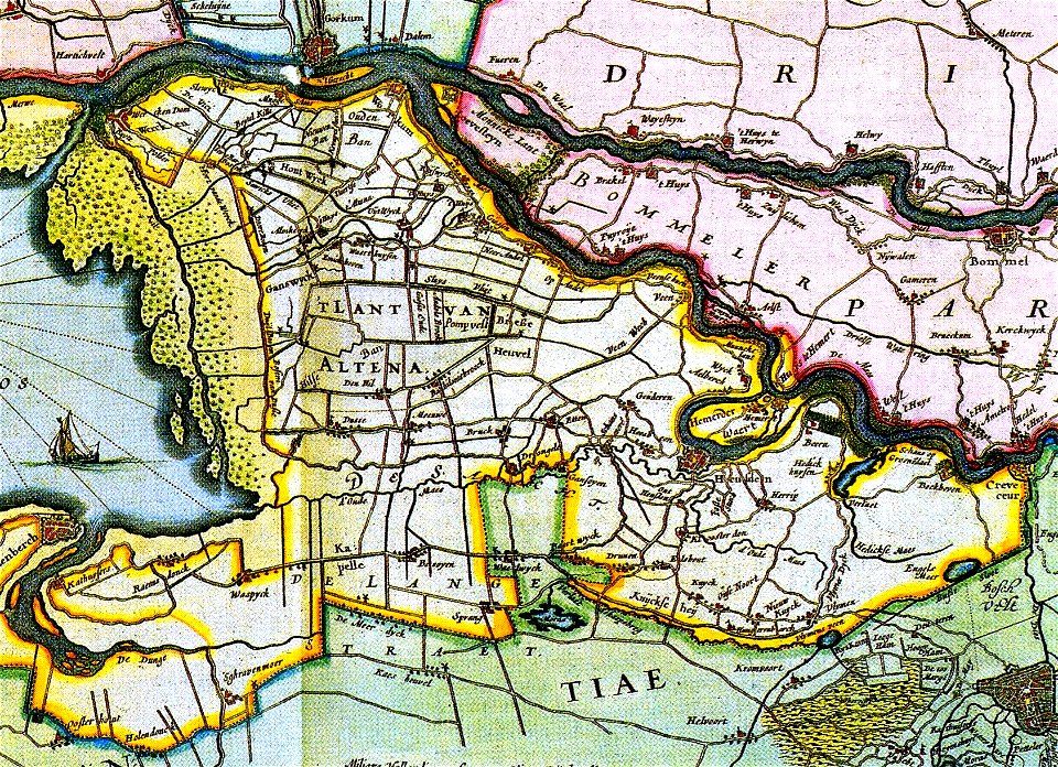
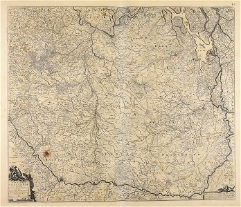
old maps of north brabant
maps made in the 17th century
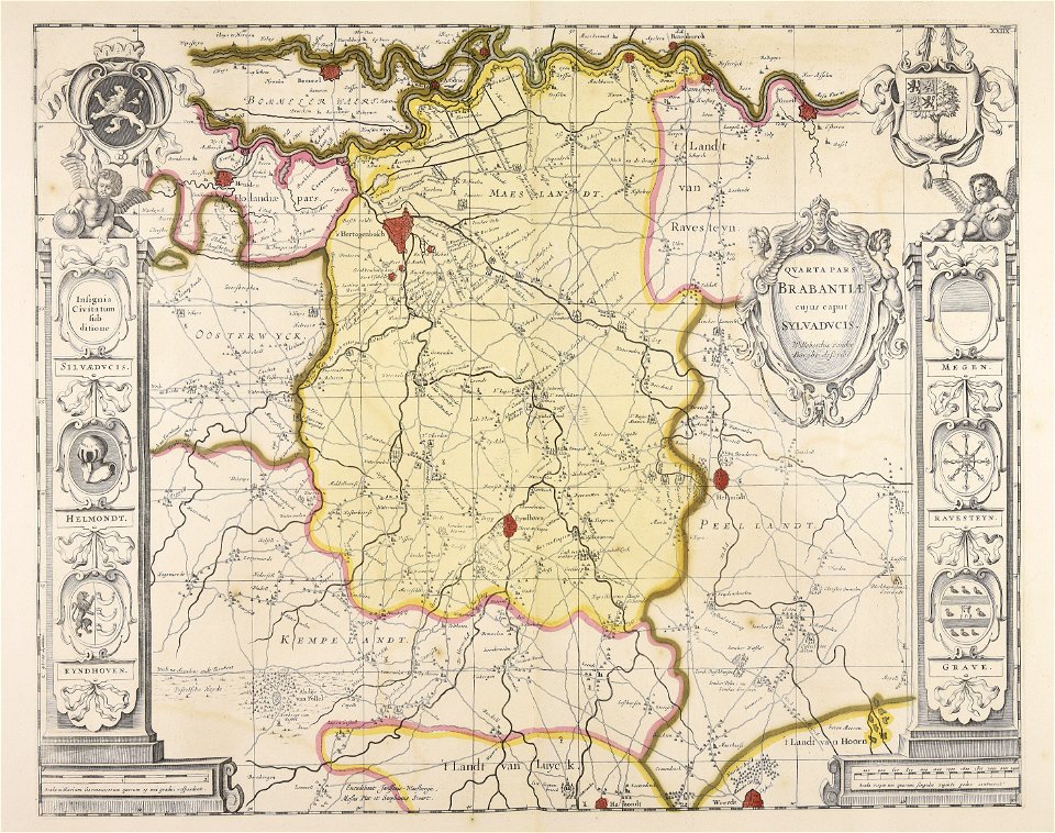
atlantis magni tomus secundus (biblioteca comunale di trento)
cc-zero
history
historical
unknown date
fotocollectie nederlandse heidemaatschappij
images from nationaal archief
nicolaes visscher ii
17th-century maps of the netherlands
old maps of north brabant
netherlands
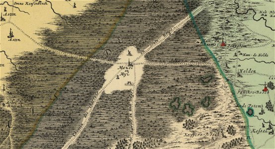
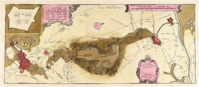
peel
old maps of north brabant
old maps of south holland
old maps of north brabant
old maps of zeeland
atlantis magni tomus secundus (biblioteca comunale di trento)
maps made in the 17th century
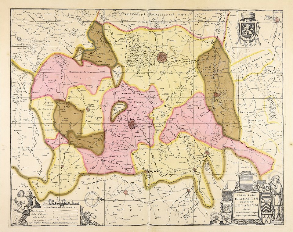
atlantis magni tomus secundus (biblioteca comunale di trento)
maps made in the 17th century
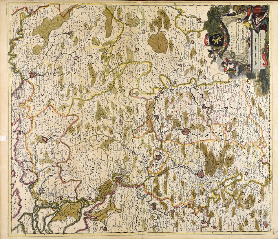
atlantis magni tomus secundus (biblioteca comunale di trento)
maps made in the 17th century
atlantis magni tomus secundus (biblioteca comunale di trento)
maps made in the 17th century
atlantis magni tomus secundus (biblioteca comunale di trento)
maps made in the 17th century
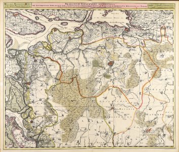
maps made in the 17th century
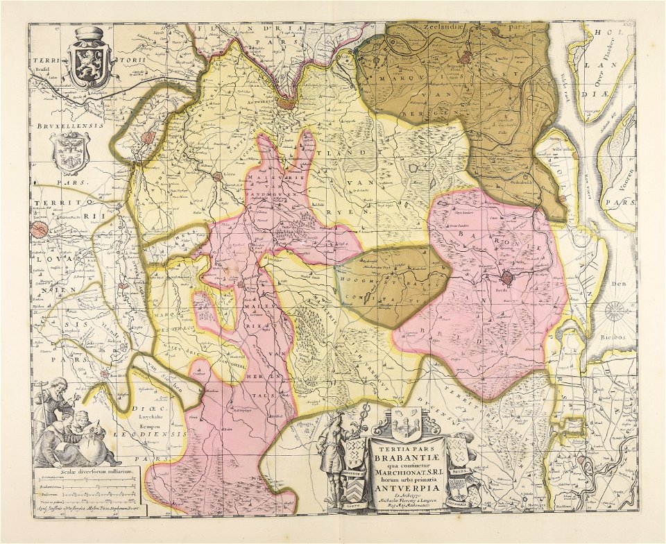
nicolaes visscher ii
maps made in the 17th century
gerard valck
maps made in the 17th century
nicolaes visscher ii
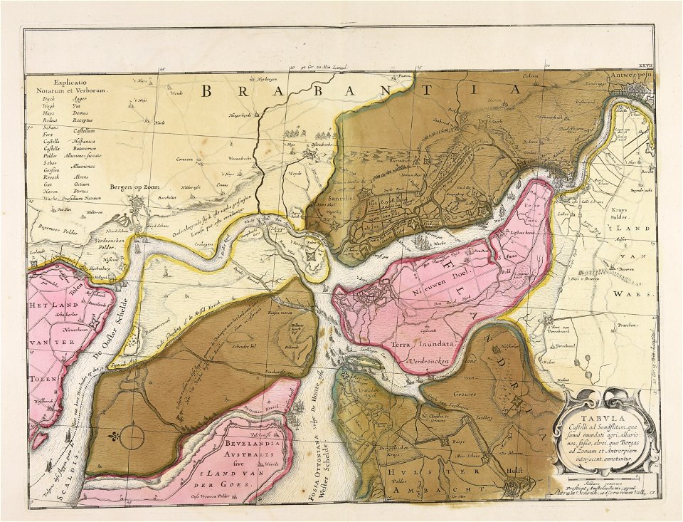
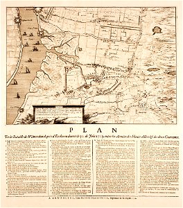
merksem
lillo
maps made in the 17th century
nicolaes visscher ii
self-published work
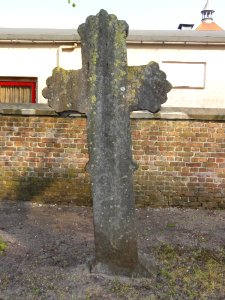
rock
architecture
town
historical
history
historical
history
historical
history
historical
history
historical
history
1 - 21 of 21
/ 1