Log in
All resources
Create a design
30 Free Images of Old Maps Of Rennes
jean-baptiste martenot
rennes in the 1880s
rennes in the 1920s
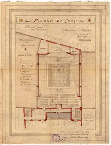
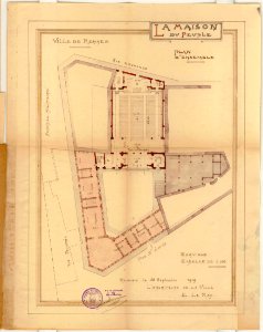
emmanuel le ray
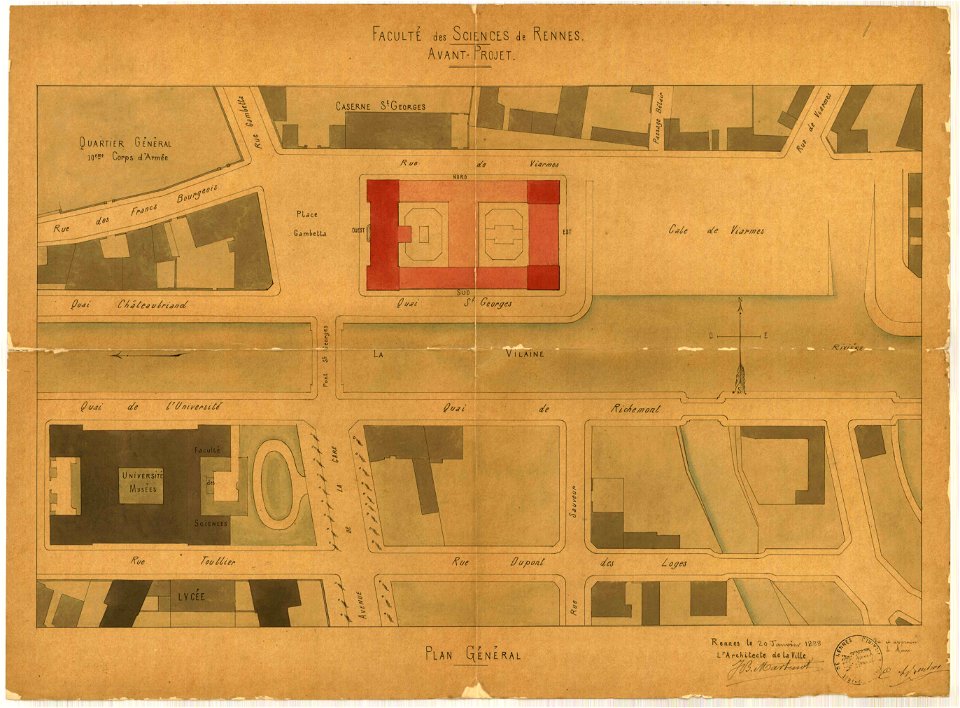
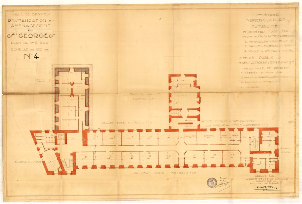
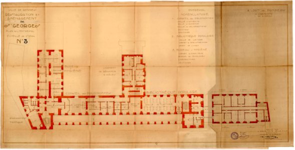
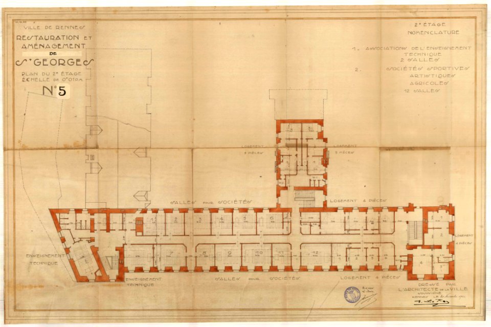
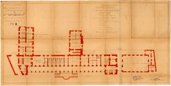
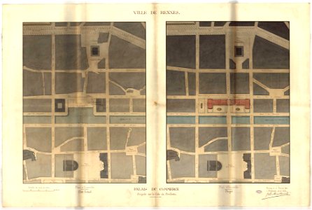
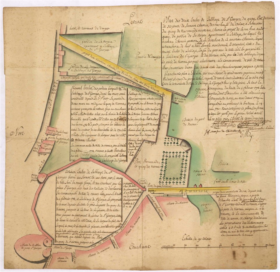
palais saint-georges
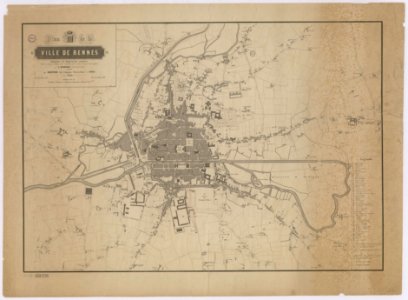
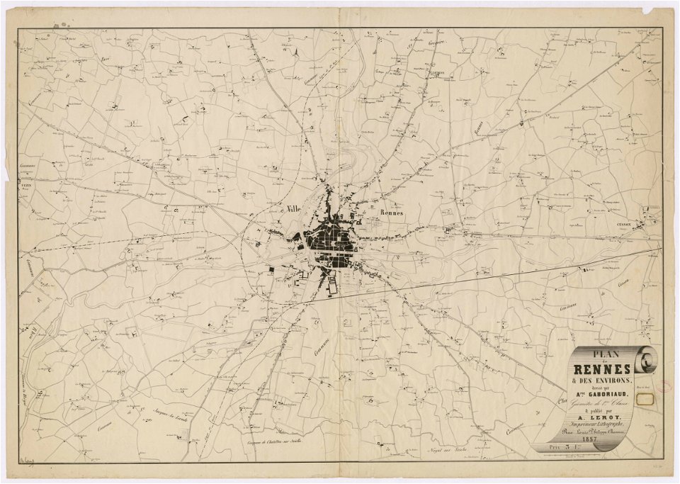
rennes in the 1850s
collections of archives municipales de rennes
1922 maps
1922 in ille-et-vilaine
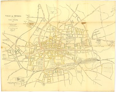
rennes in the 1910s
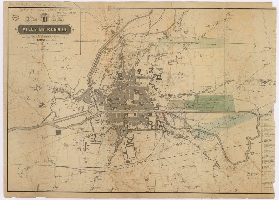
1861 in bretagne
1861 maps
rennes in the 1910s
1914 maps
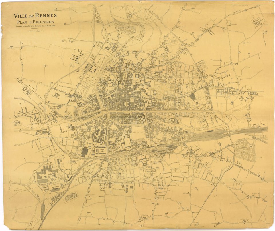
1919 in bretagne
1919 map
1919 in bretagne
1919 map
rennes in the 1850s
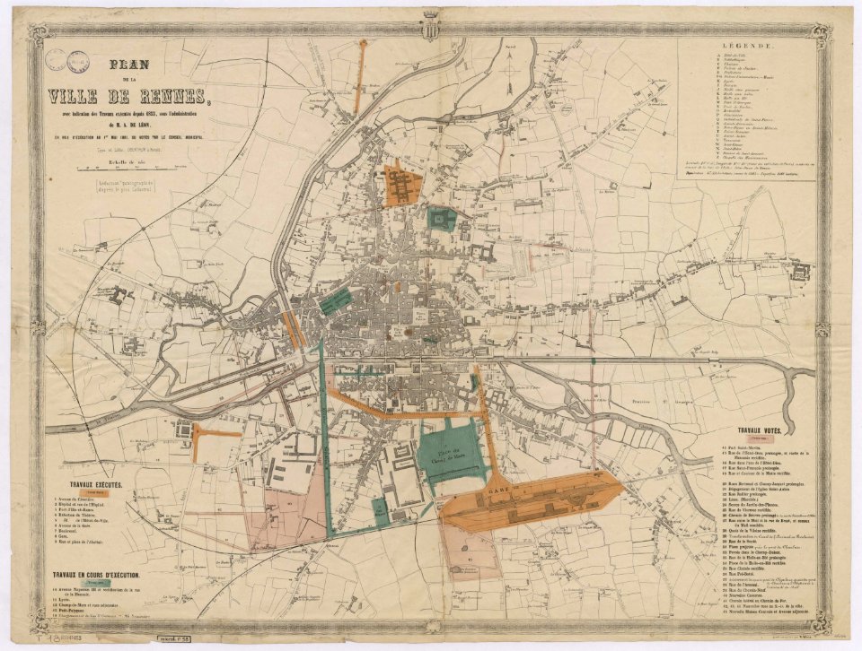
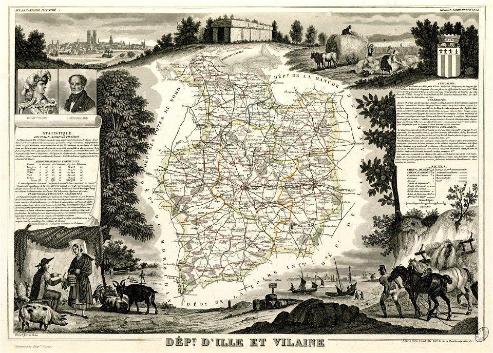
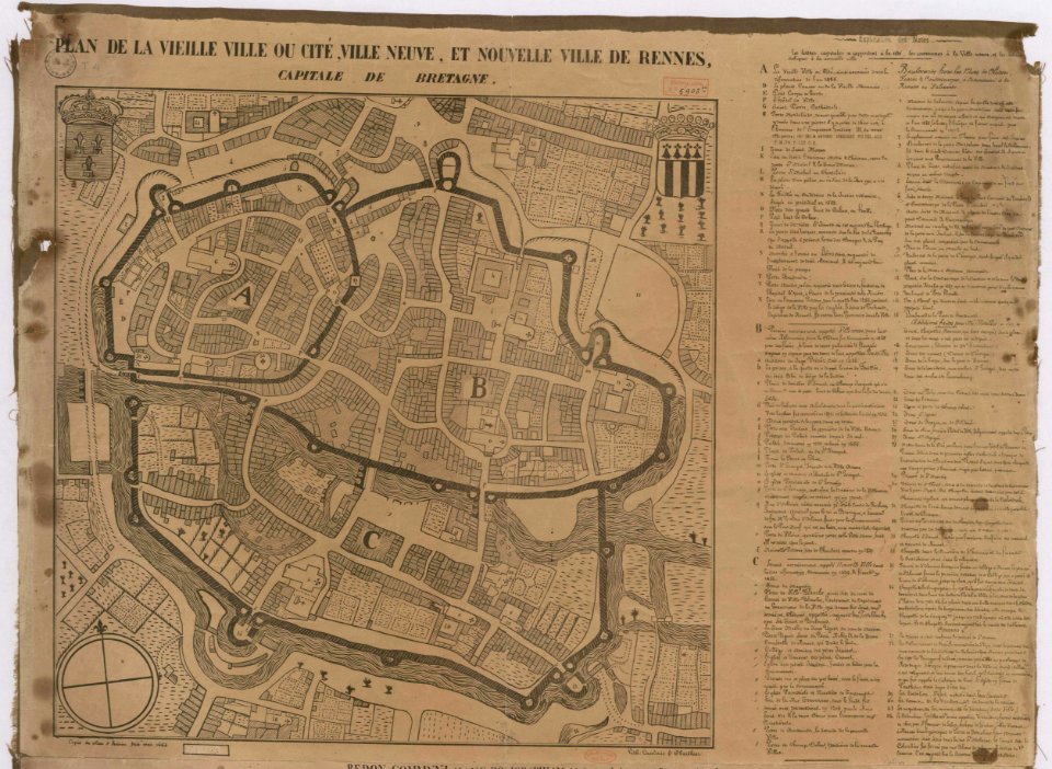
old maps of rennes
old maps of rennes
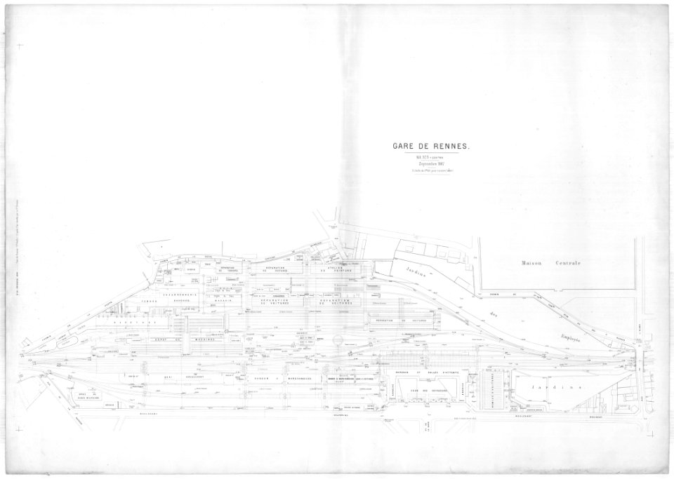
gare de rennes
tramway de rennes
1928 in bretagne
rennes in the 1880s
1889 maps
world war ii in rennes
old maps of rennes
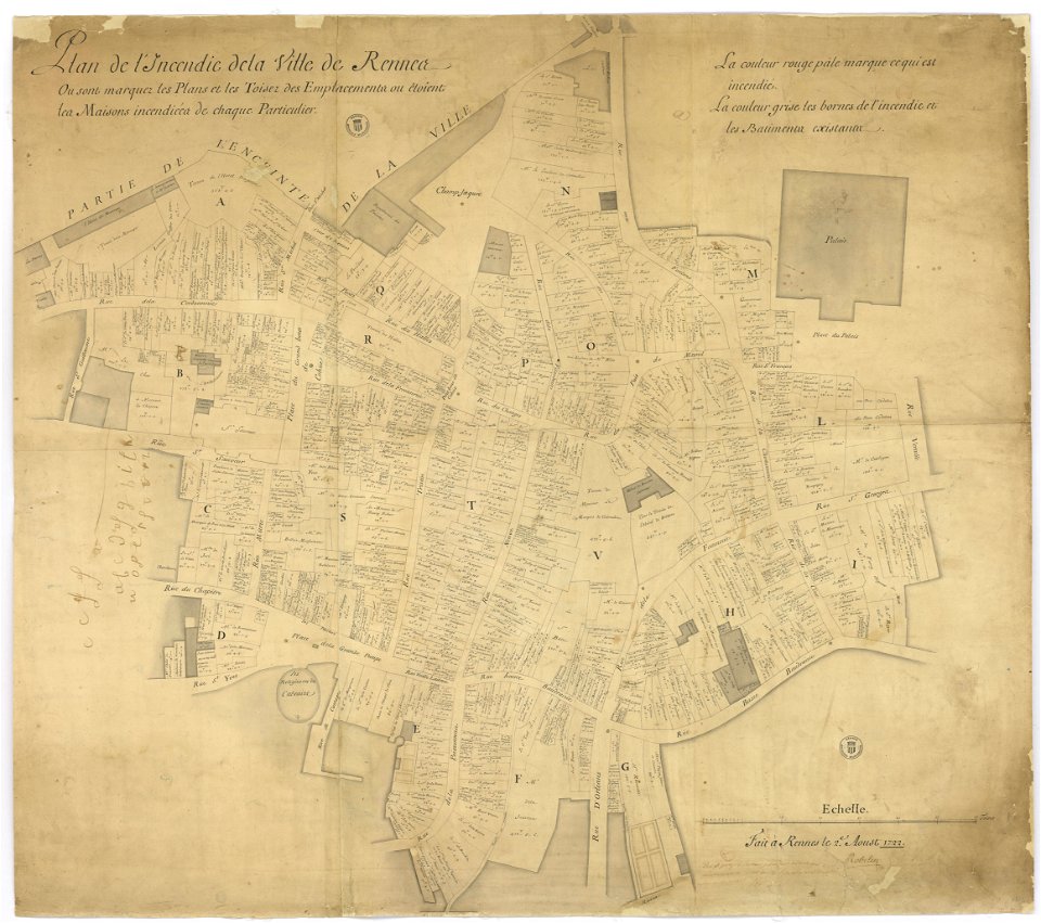
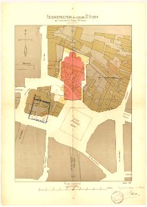
great rennes fire of 1720
old maps of rennes
rennes in the 1850s
old maps of rennes
1887 in bretagne
gare de rennes
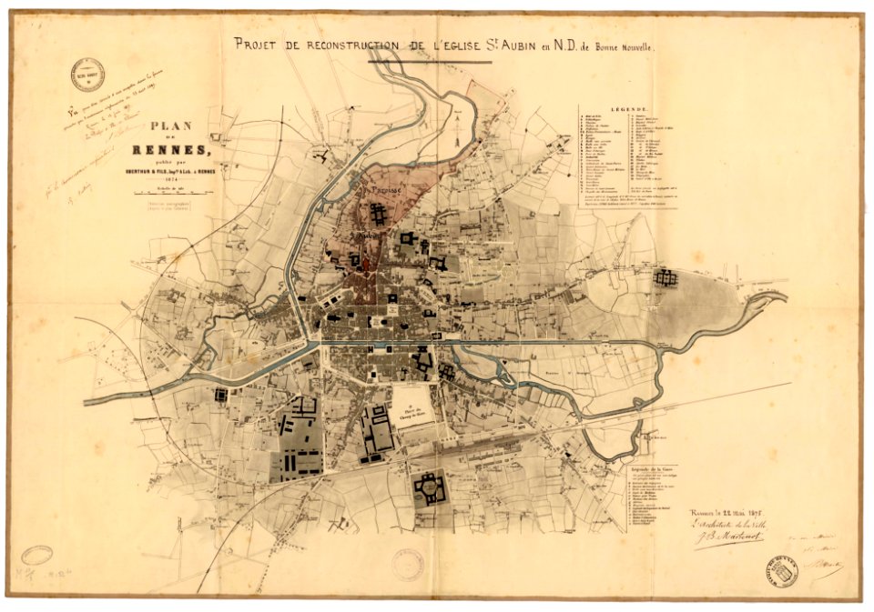
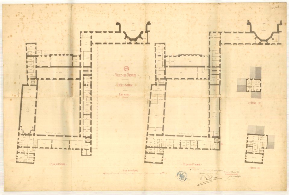
jean-baptiste martenot
1875 maps
jean-baptiste martenot
1888 in bretagne
jean-baptiste martenot
1888 in bretagne
jean-baptiste martenot
1885 maps
jean-baptiste martenot
rennes in the 1890s
old maps of rennes
1922 maps
old maps of rennes
1922 maps
old maps of rennes
1922 maps
old maps of rennes
1922 maps
rennes in the 1900s
old maps of rennes
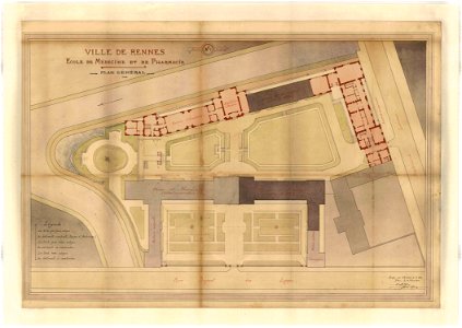
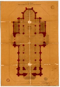
plans of churches in france
1873 in bretagne
plans of churches in france
1875 maps
jean-baptiste martenot
rennes in the 1880s
jean-baptiste martenot
old maps of rennes
old maps of rennes
1780 maps
fonds ancely - bibliothèque municipale de toulouse - maps
coats of arms of rennes
historical
history
historical
history
1 - 30 of 30
/ 1