Log in
All resources
Create a design
56 Free Artworks of 1780 Maps
prints from bonne atlas de toutes les parties at the peace palace library
claude-marie-françois dien
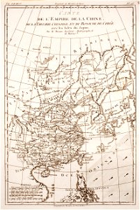
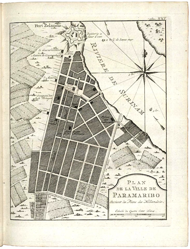
maps of the west-indische compagnie
dien (printer)
maps by william faden
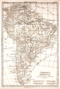
1780 in south america
david rumsey historical map collection
1785 maps
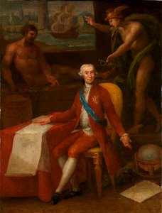
maps in portrait paintings
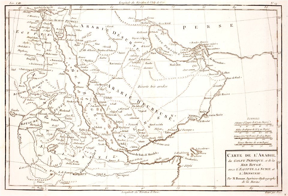
1780 maps of egypt
1780 maps of armenia
1780 maps of cyprus
1780 maps of eritrea
1780 maps of egypt
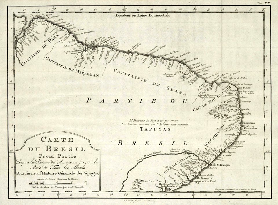
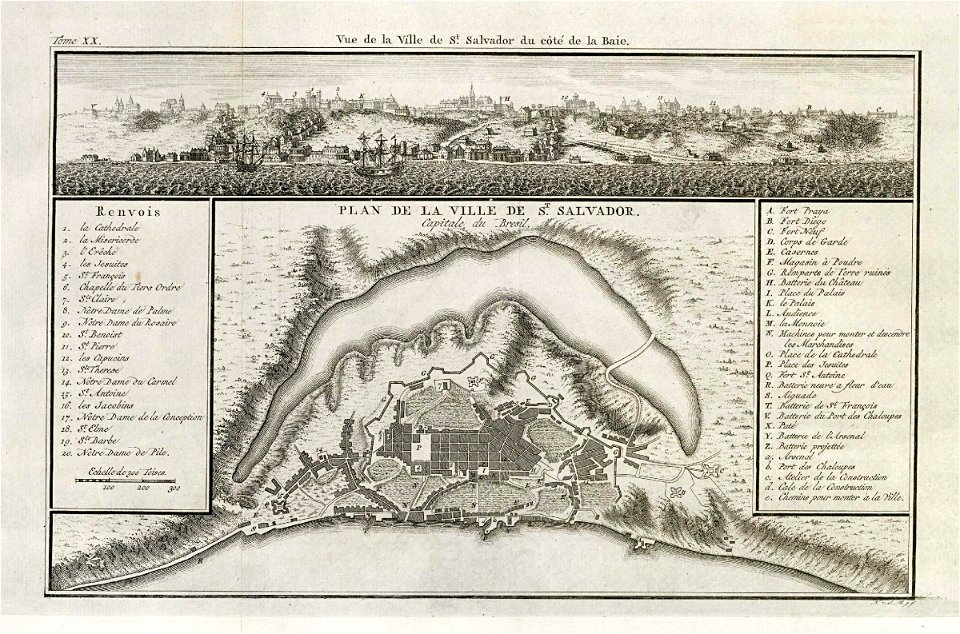
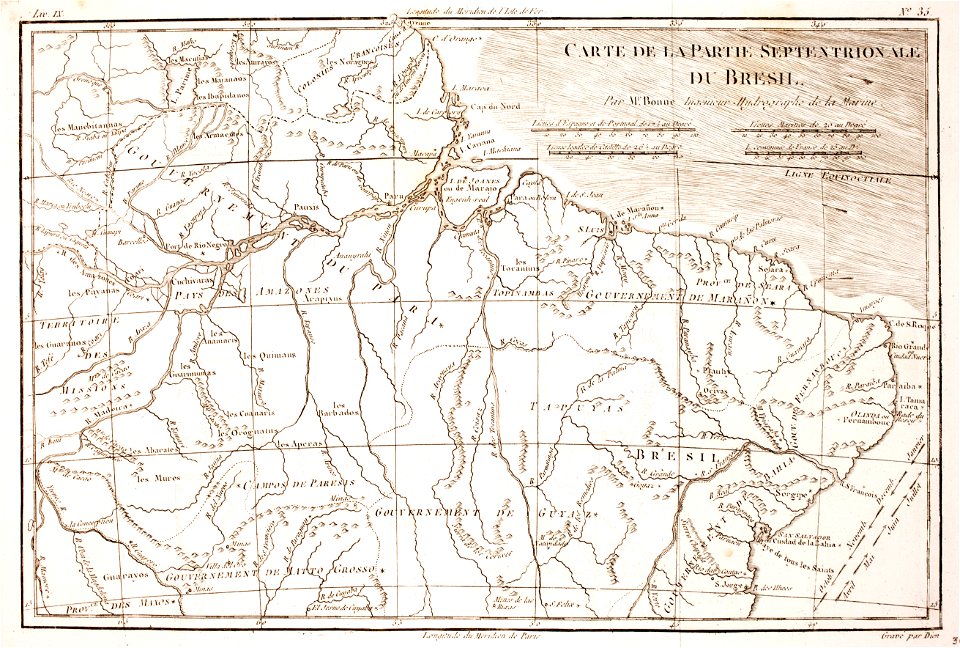
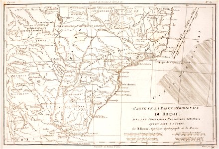
1780 in brazil
1780 maps
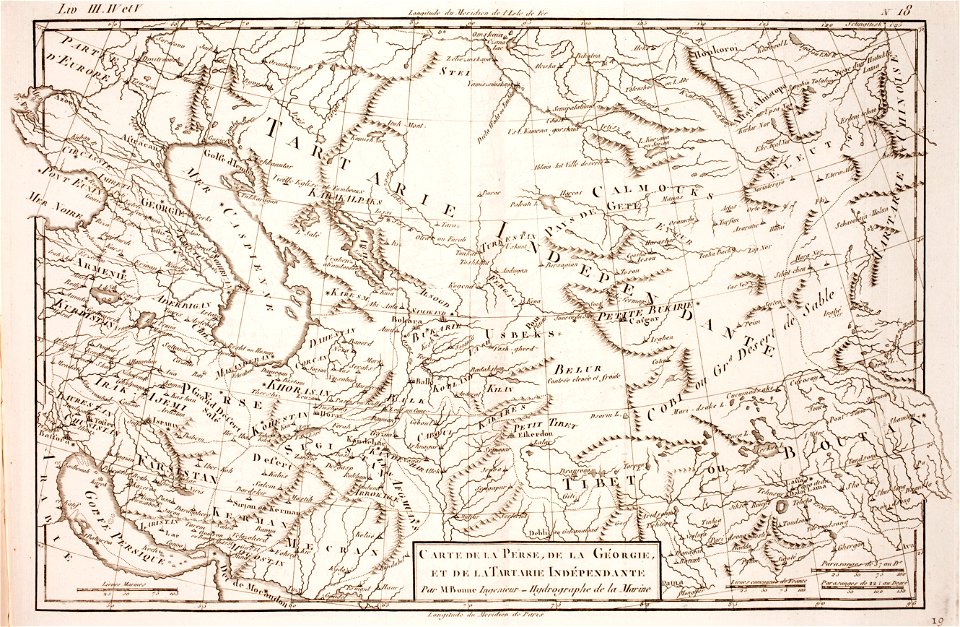
1780 maps of afghanistan
tajikistan
1780 maps of africa
1780 maps of egypt
1780 maps of wisconsin
1780 maps of montana
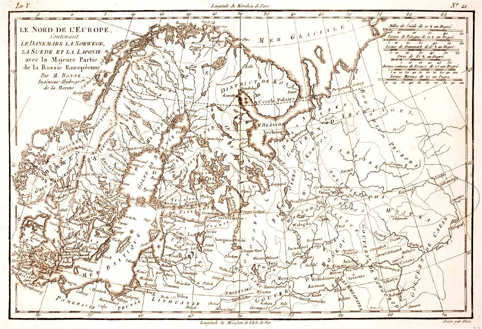
1780 maps of finland
1780 maps of norway
maps of the county of flanders
old maps of flanders
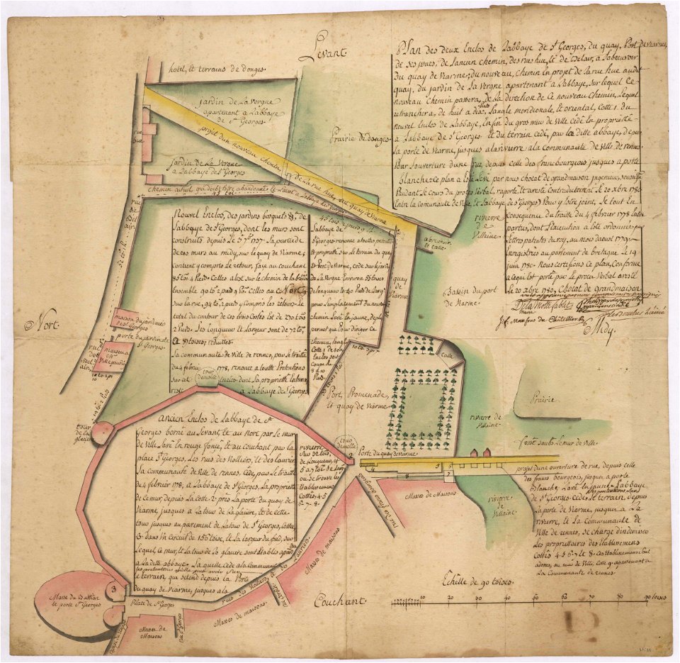
old maps of rennes
1780 maps
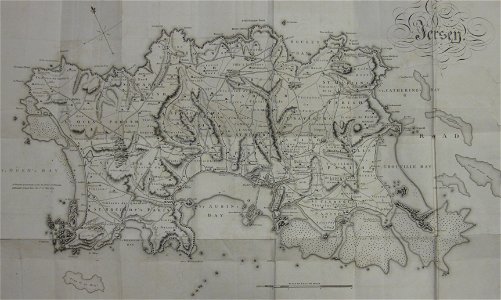
old maps of jersey
1780s maps
18th-century maps of japan
1780 in japan
18th-century maps of bohemia
1780 maps of czechia
maps of the west-indische compagnie
1780
1780 maps of afghanistan
ganges river
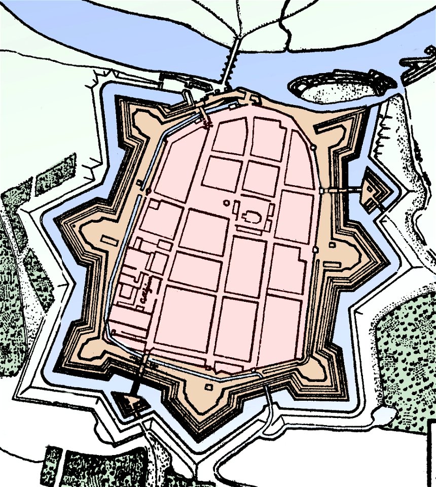
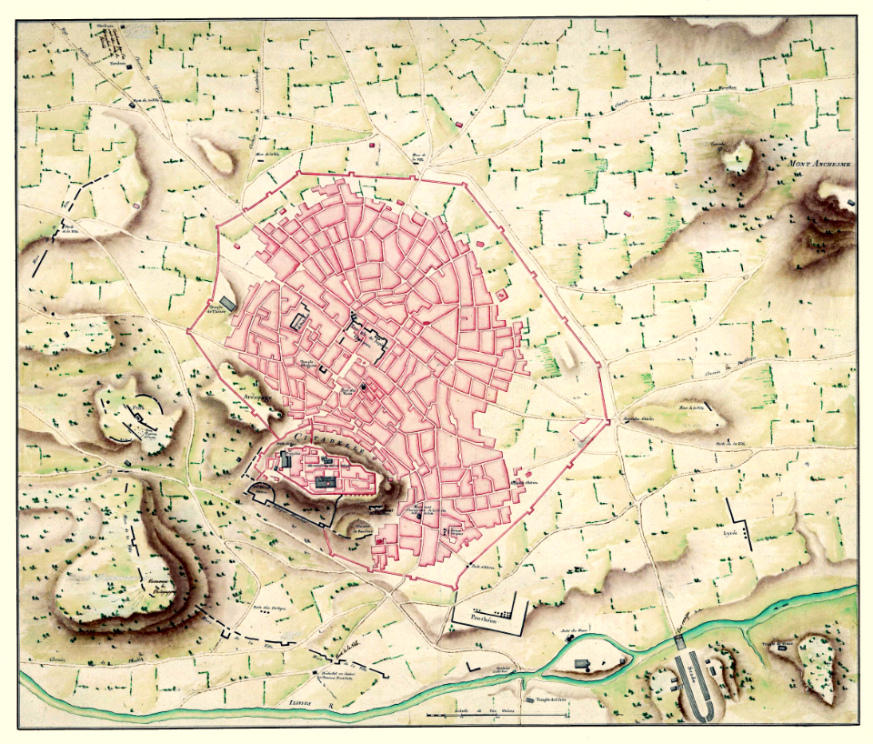
stadtbefestigung rinteln
maps of rinteln
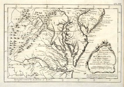
1780 maps of pennsylvania
1780 maps of new jersey
maps of the west-indische compagnie
1780
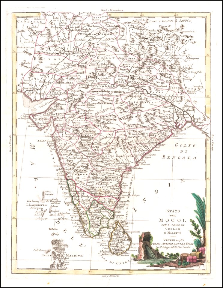
old maps of sri lanka
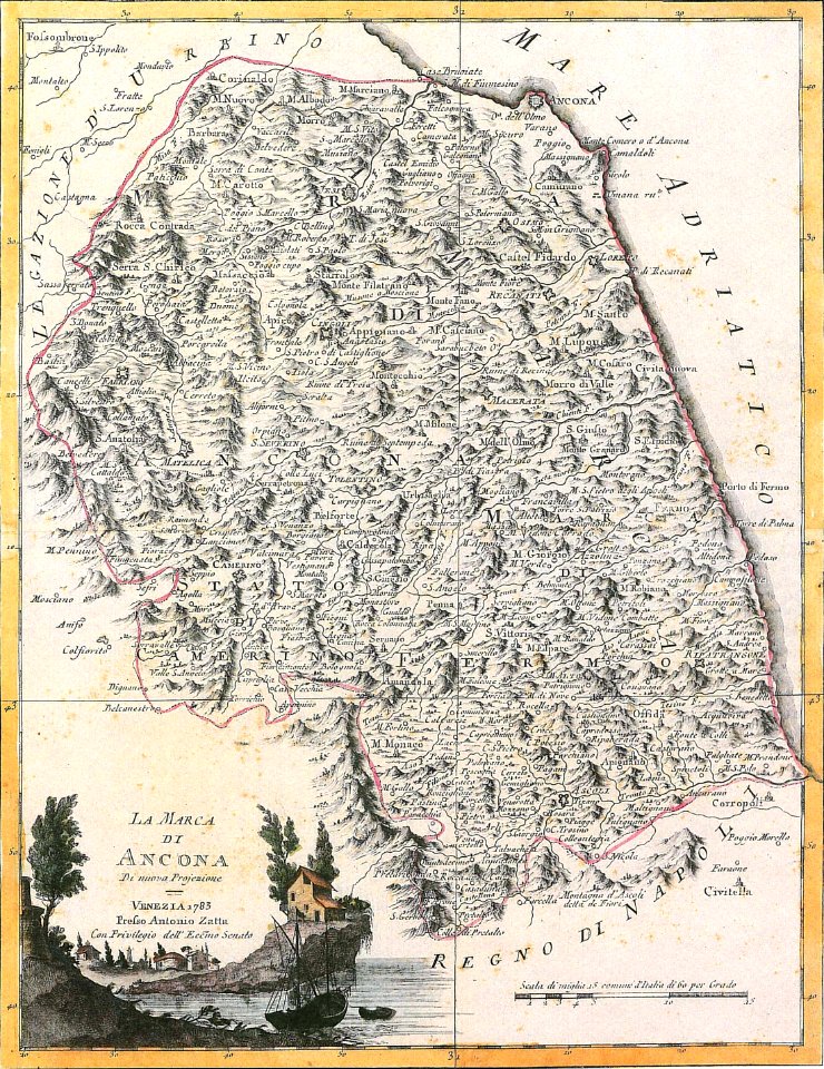
maps by antonio zatta
david rumsey historical map collection
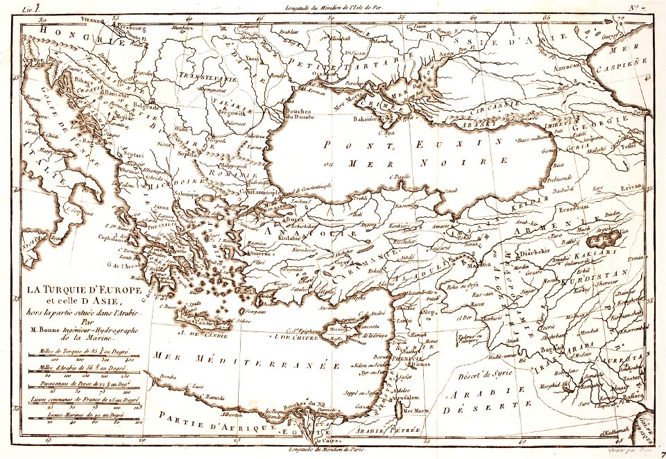
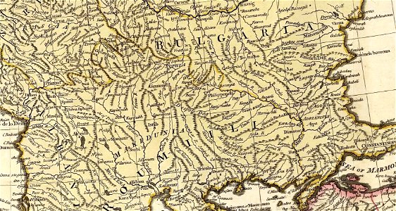
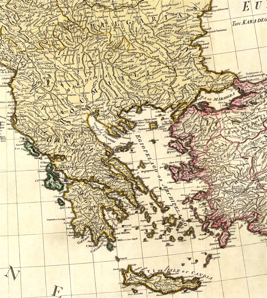
old maps of greece
maps of the west-indische compagnie
1780
david rumsey historical map collection
old maps of greece
david rumsey historical map collection
old maps of greece
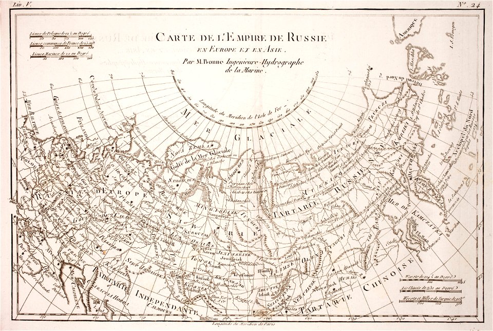
1780 maps of russia
bonne projection
maps of the west-indische compagnie
1780
maps of the west-indische compagnie
1780
maps of the march of ancona
maps by antonio zatta
maps of the west-indische compagnie
1780
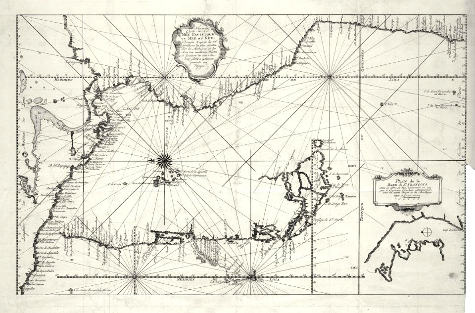
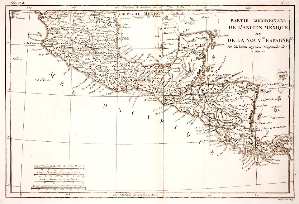
18th-century maps of nicaragua
1780 in central america
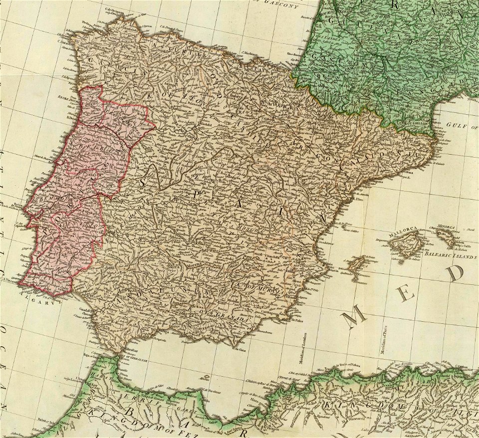
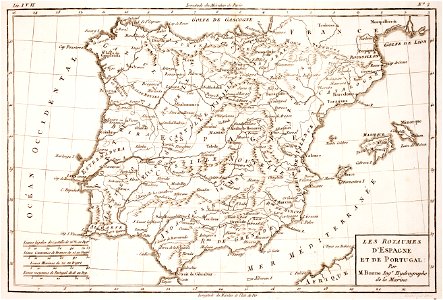
old maps of the iberian peninsula
1780s maps of spain
1780s maps of portugal
1789 maps
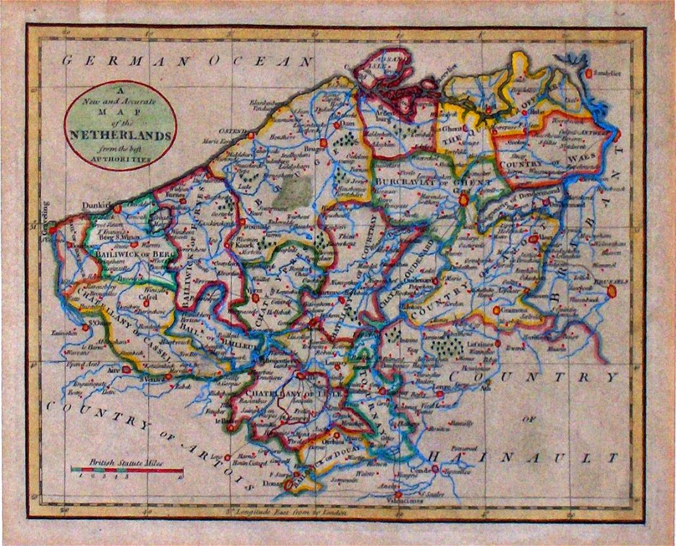
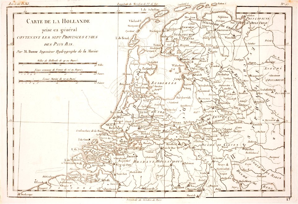
1780 maps of the netherlands
1780 maps of germany
1780s maps of portugal
1780s maps of spain
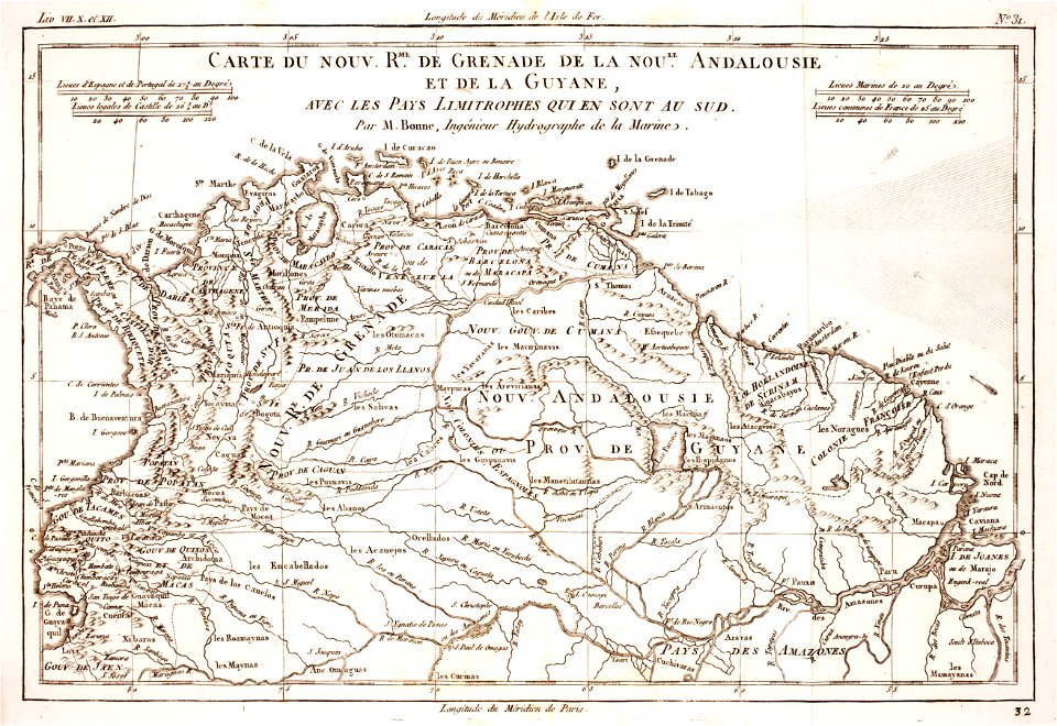
1780 in south america
1780 maps
1780s maps of portugal
1789
1780 in brazil
1780 maps
media in the houghton library
harvard university
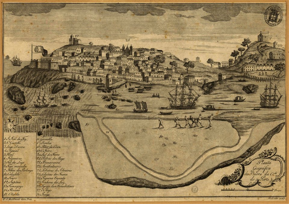
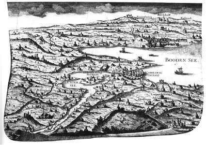
historic views of konstanz
bishopric of constance
1780s maps of south america
1780 in south america
prints from bonne atlas de toutes les parties at the peace palace library
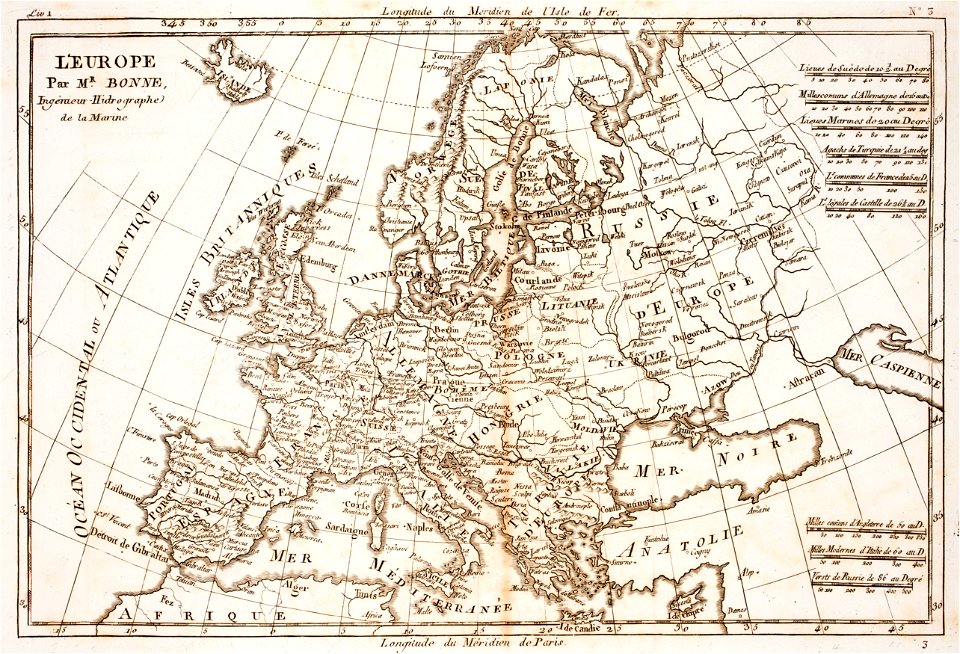
18th-century maps of europe
maps of the aleutian islands
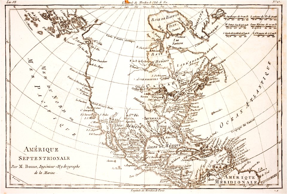
1780 maps of north america
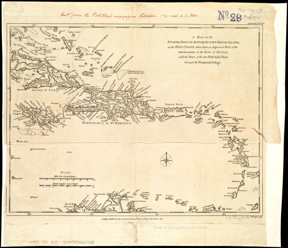
18th-century maps of hispaniola
1780s maps of the caribbean
18th-century maps of brazil
1780 in south america
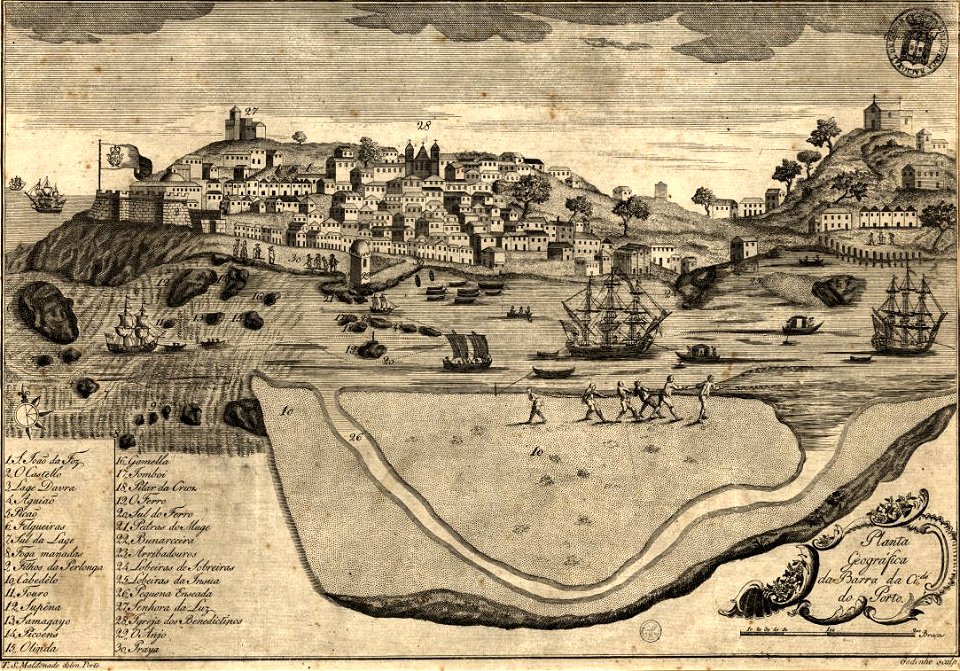
historical images of melaka city
18th-century fortress plans
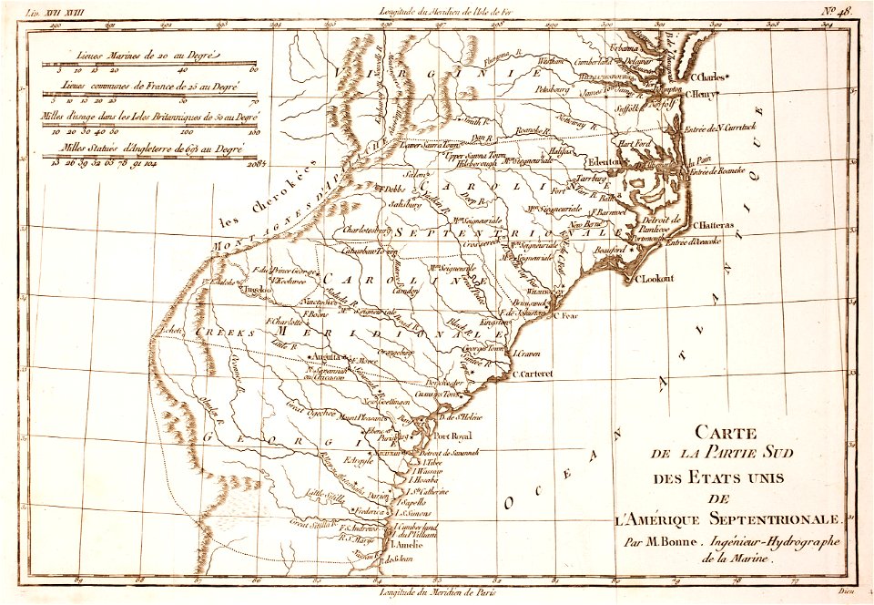
18th-century maps of north carolina
1780 maps
prints from bonne atlas de toutes les parties at the peace palace library
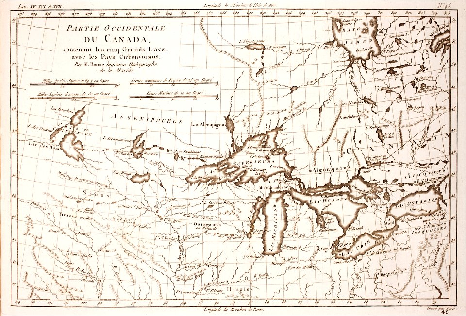
1780 maps of canada
18th-century maps of brazil
1780 in south america
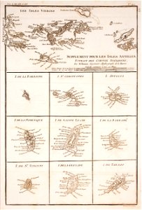
1780 in the caribbean
virgin islands
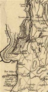
fort ticonderoga
john burgoyne
18th-century maps of hispaniola
1780 in the caribbean
19th-century maps of argentina
1780 in south america
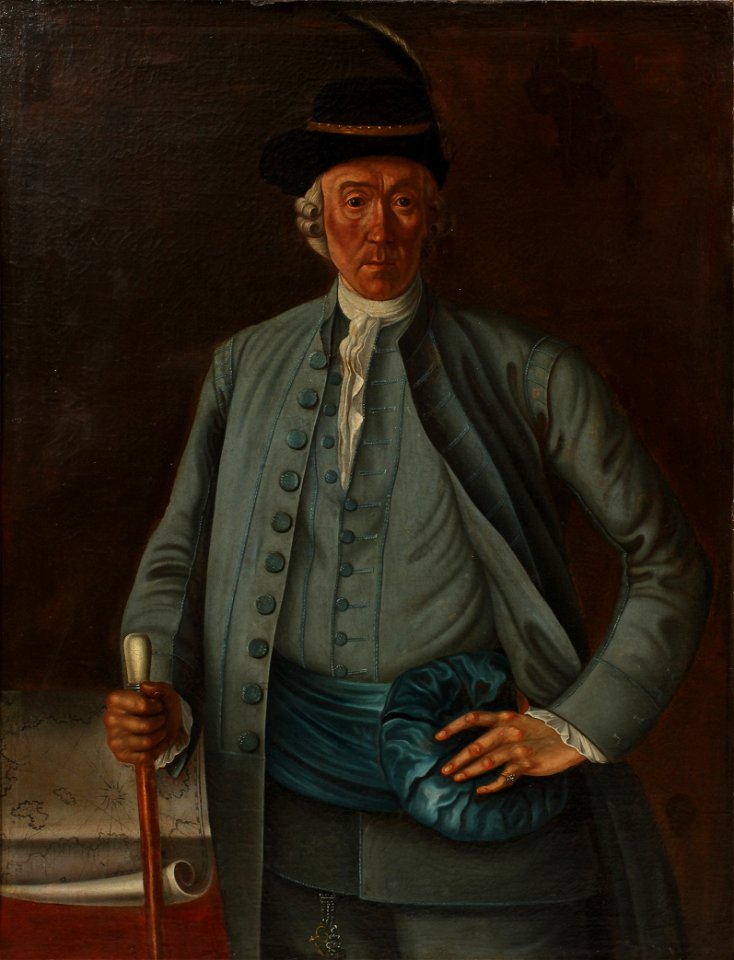
18th-century portrait paintings in germany
stuttgart
portrait paintings of standing men with right hand on hip
national costume of sweden of 1778
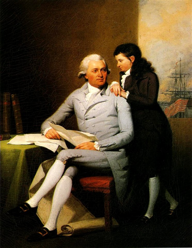
american chippendale furniture in art
jeremiah wadsworth
preparatory portrait studies
1786 oil on canvas paintings
1st baronet
london
athens
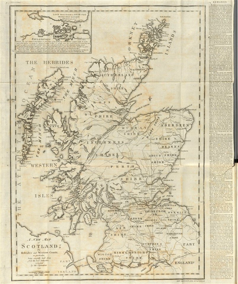
maps
1 - 56 of 56
/ 1