Log in
All resources
Create a design
38 Free Images of Old Maps Of Silesia
history
historical
maps made in the 17th century
atlantis magni tomus tertius (biblioteca comunale di trento)
engravings of topographia bohemiae moraviae et silesiae
gerard valck
maps by pieter schenk (i)
old maps of lusatia
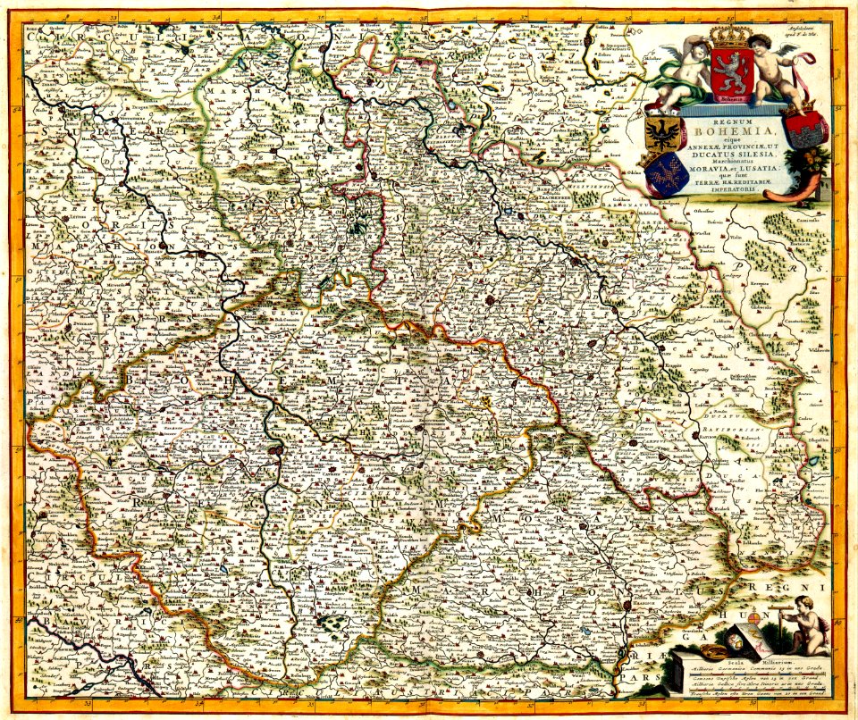
old maps of bohemia
maps with cartouches
engravings of topographia bohemiae moraviae et silesiae
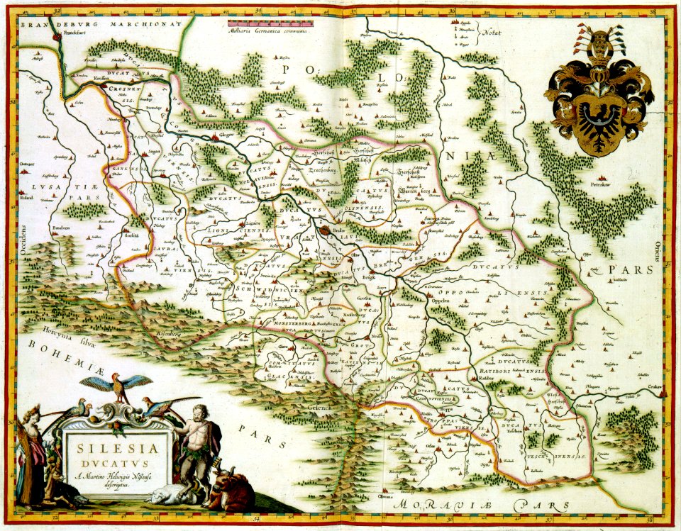
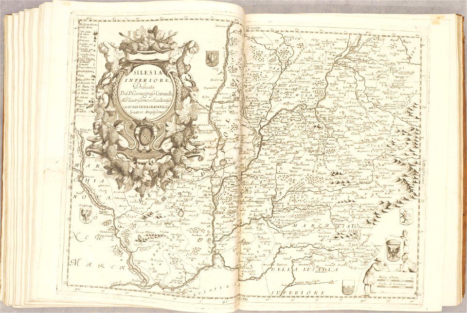
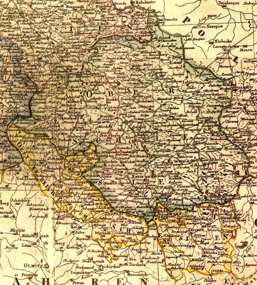
old maps of silesia
prints from dankaerts historis at the peace palace library
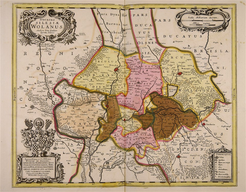
old maps of silesia
old maps of silesia
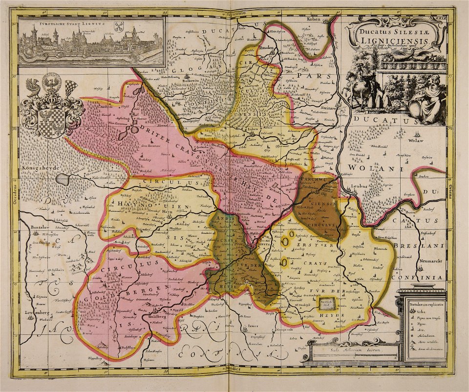
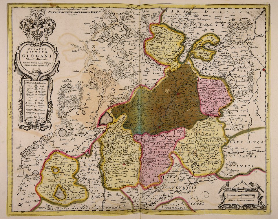
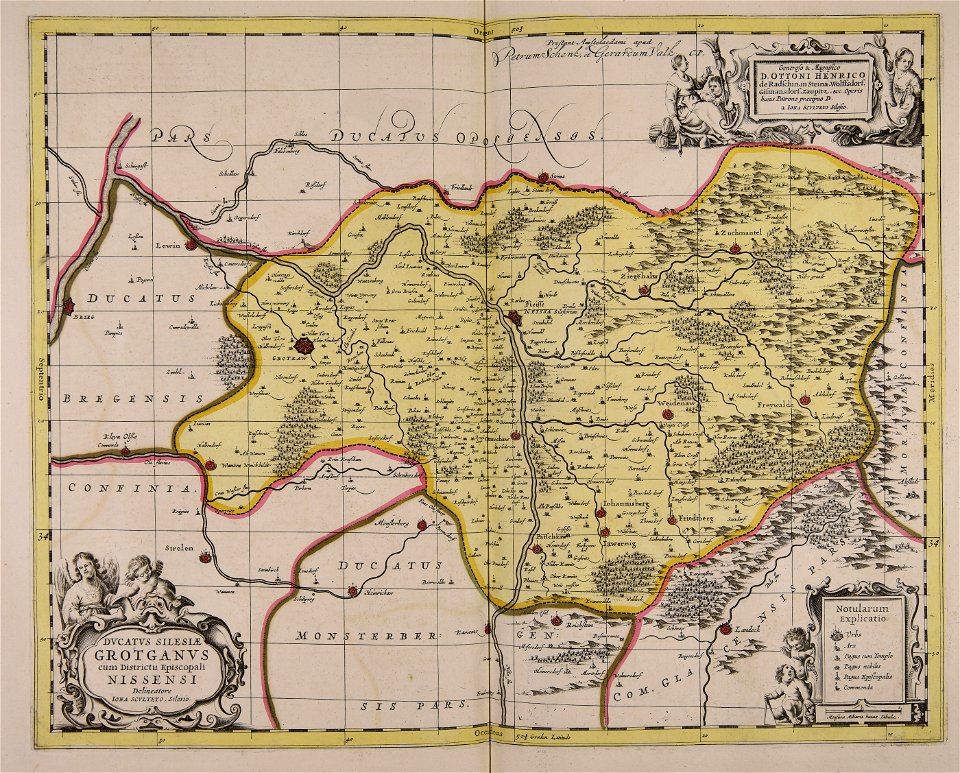
duchy of jauer
files from the bodleian libraries
old maps of silesia
old maps of silesia
old maps of saxony
old maps of silesia
old maps of bohemia
old maps of silesia
gerard valck
maps with cartouches
old maps of silesia
old maps of silesia
gerard valck
old maps of silesia
gerard valck
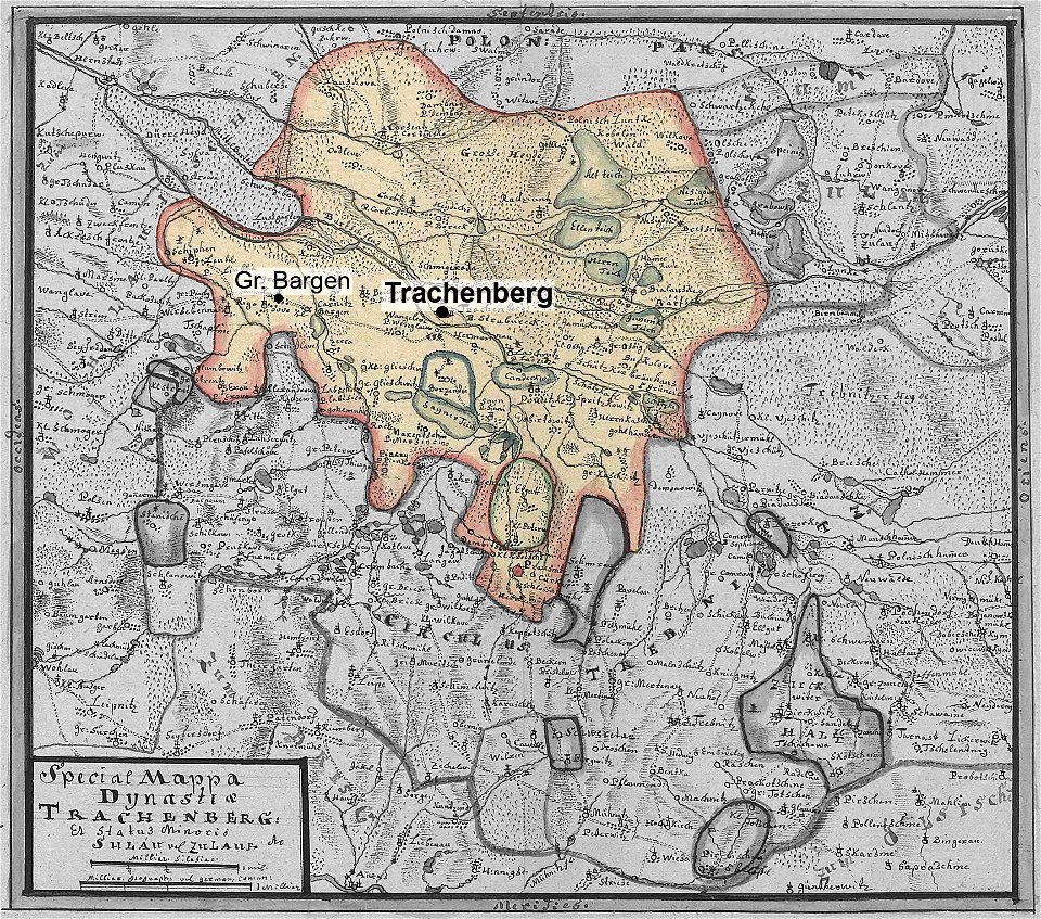
lower silesian voivodeship
old maps of silesia
engravings of topographia bohemiae moraviae et silesiae
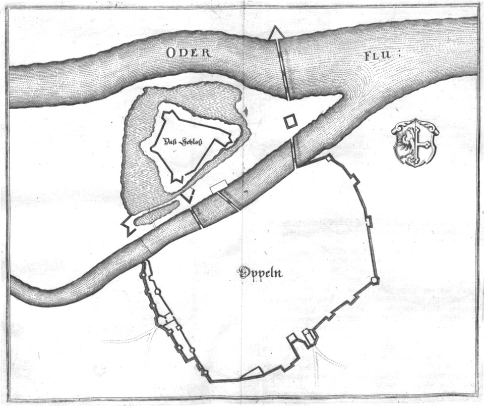
old maps of opole
history of pszczyna
old maps of silesia
old maps of silesia
gerard valck
engravings of topographia bohemiae moraviae et silesiae
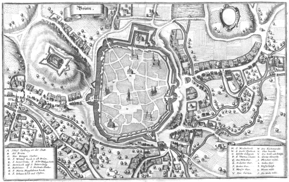
old maps of brno
atlante veneto (raremaps.com) volume 2
old maps of silesia
old maps of silesia
gerard valck
olomouc fortress
1644
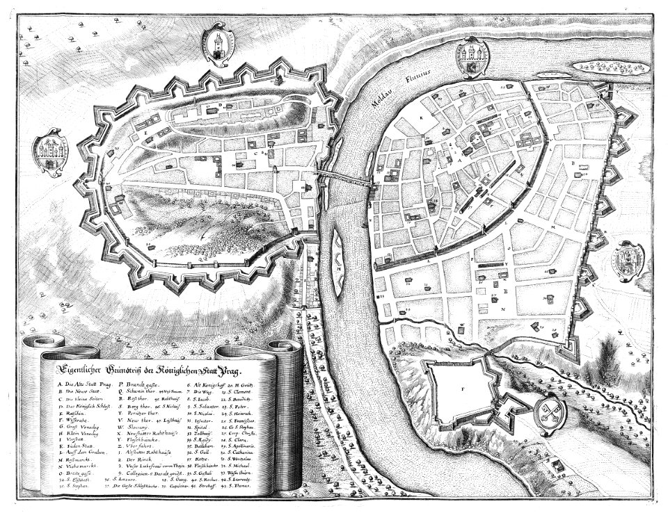
historical images of prague
old maps of prague
atlantis magni tomus tertius (biblioteca comunale di trento)
maps made in the 17th century
maps with cartouches
old maps of bohemia
historical
history
historical
history
historical
history
historical
history
historical
history
historical
history
historical
history
historical
history
historical
history
historical
history
historical
history
historical
history
historical
history
historical
history
historical
history
historical
history
historical
history
1 - 38 of 38
/ 1