Log in
All resources
Create a design
20 Free Artworks of 19th Century Satirical Maps
cornell: persuasive cartography: the pj mode collection
maps with human or animal shapes
augusto grossi
cornell university library
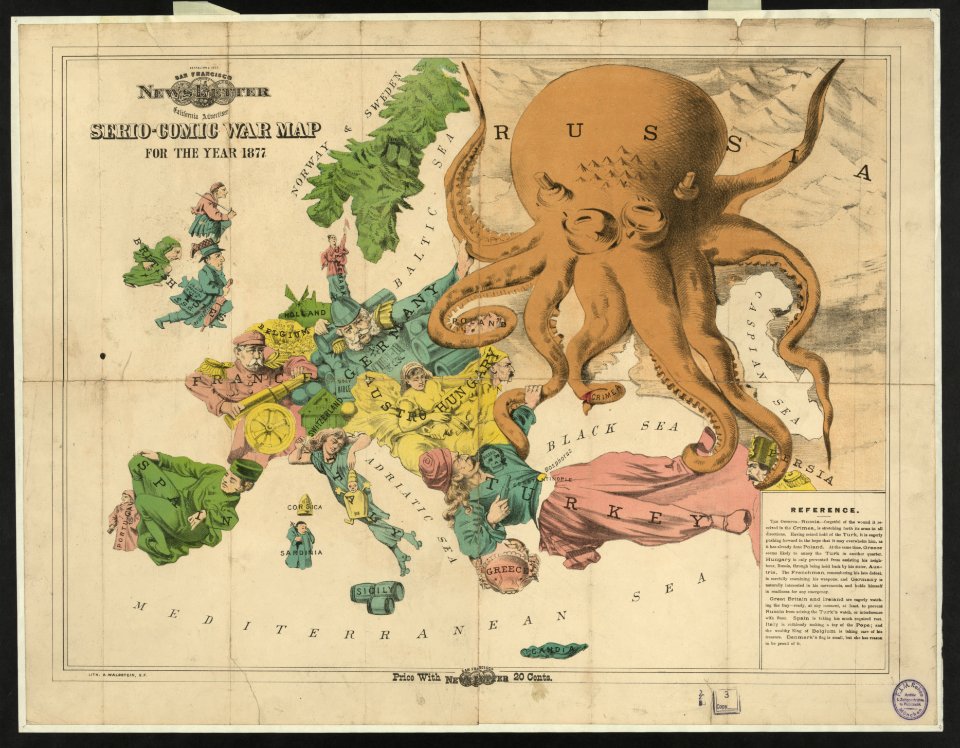
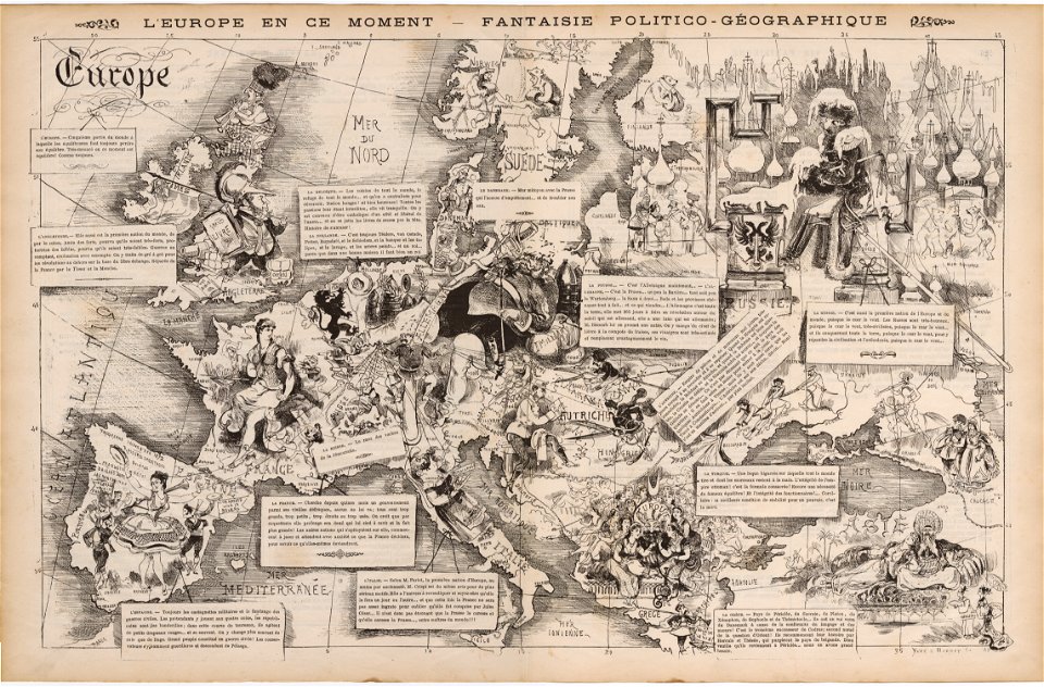
europe in the 1870s
personifications of nations
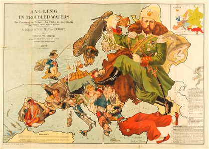
fred. w. rose
maps of crimean war
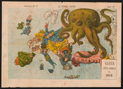
italian-language maps
caricatures of wilhelm ii of germany
19th-century satirical maps
19th-century satirical maps
old maps of italy
pictorial maps
19th-century satirical maps
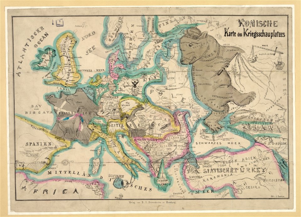
german-language maps
19th-century satirical maps
europe in the 1870s
19th-century satirical maps
maps of crimean war
19th-century satirical maps
1870 maps of europe
19th-century satirical maps
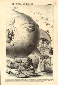
augusto grossi
19th-century satirical maps
1870s maps of the world
19th-century satirical maps
europe in the 1870s
maps of the sea of marmara
colossus of rhodes
caricatures of wilhelm ii of germany
19th-century maps of europe
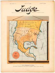
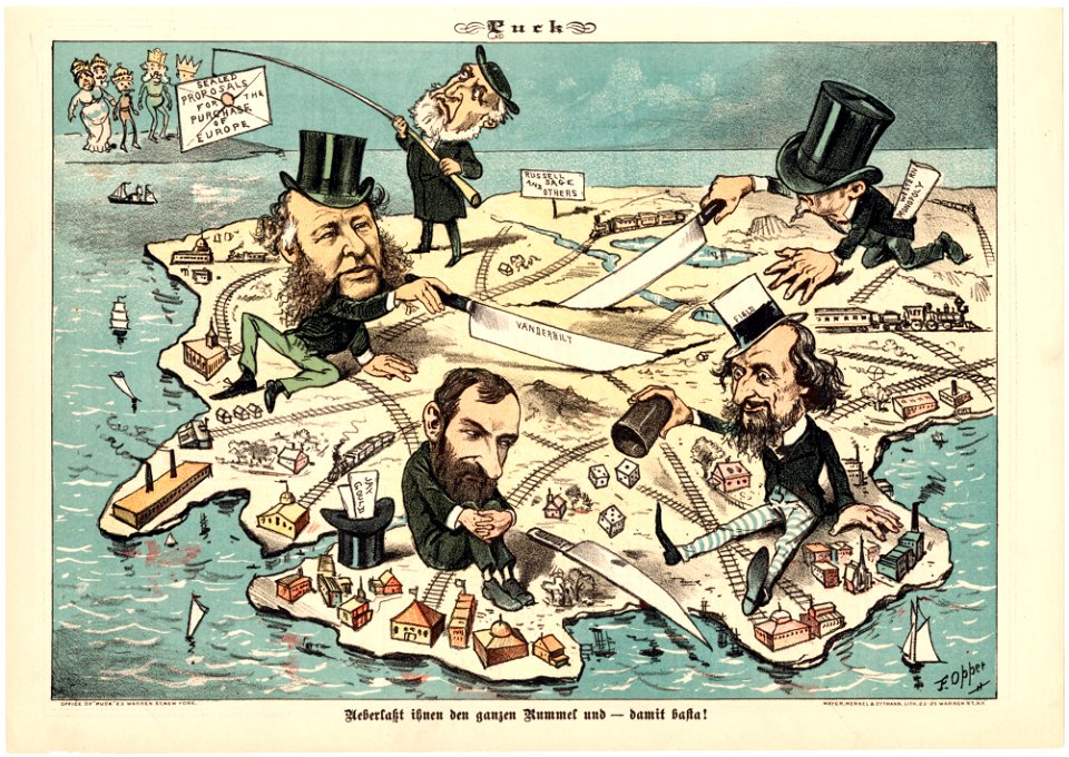
judge
1895
cornell university library
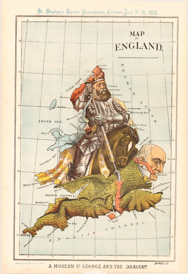
1888 maps
cornell university library
caricature
caricatures of wilhelm ii of germany
cornell university library
russo-turkish war (1877–1878)
old maps of europe
torquato tasso in art
italian-language maps
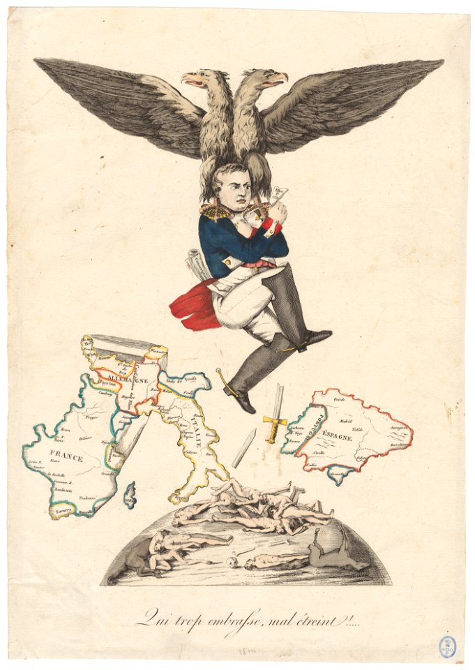
franco-prussian war
prussia
puck
1882
1 - 20 of 20
/ 1