Log in
All resources
Create a design
947 Free Artworks of Chart
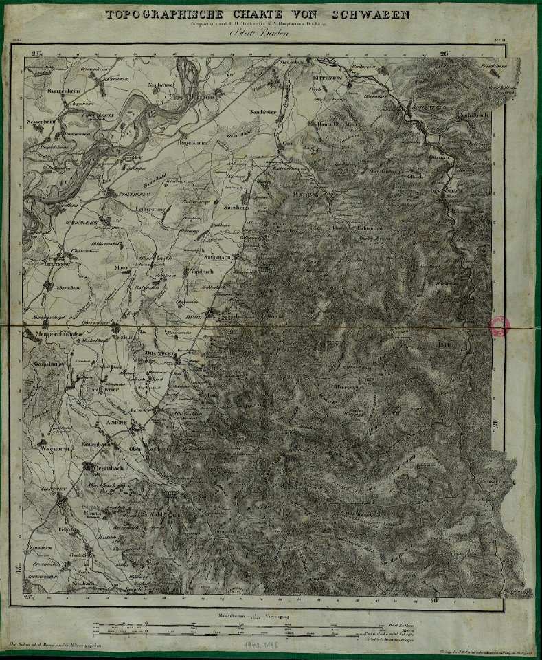
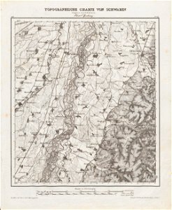
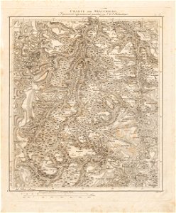
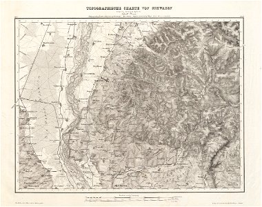
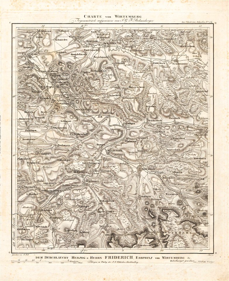
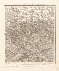
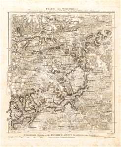
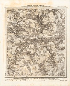
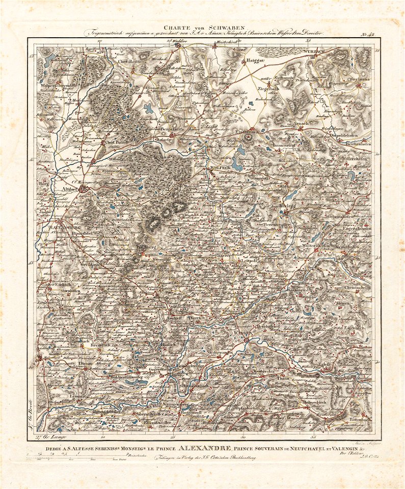
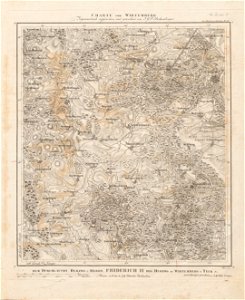
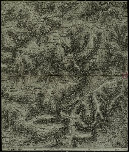
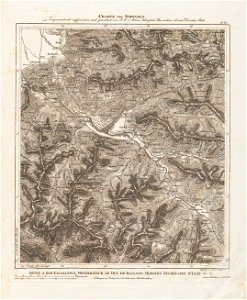
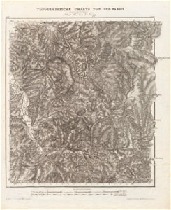
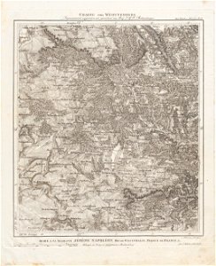
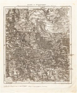
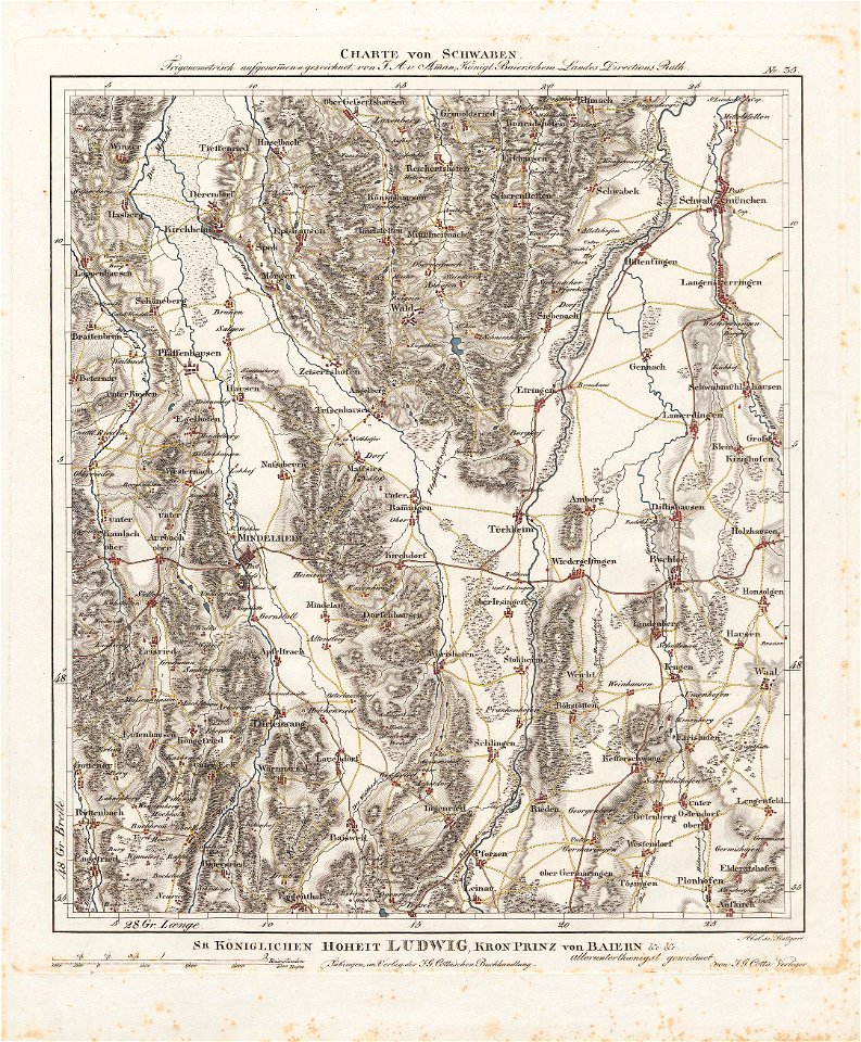
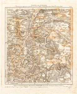
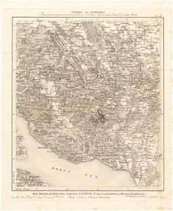
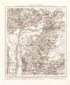
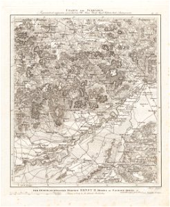
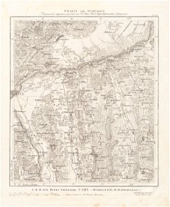
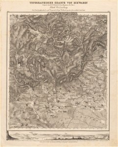
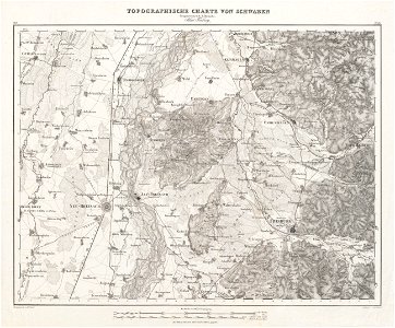
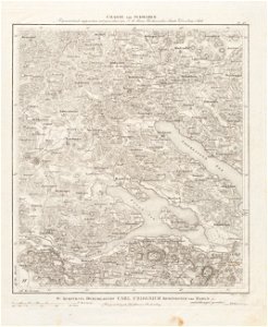
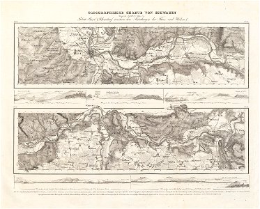
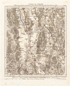
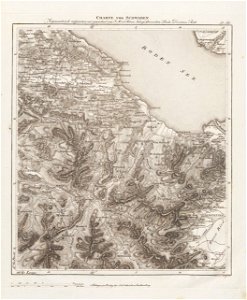
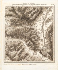
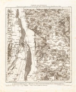
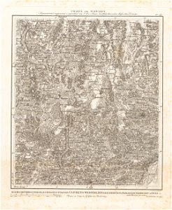
charte von schwaben (bohnenberger)
schmidt
1878 charts
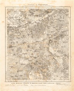
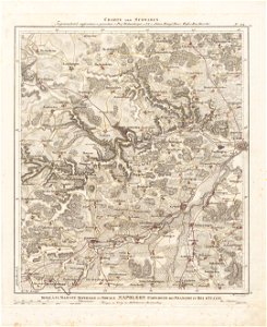
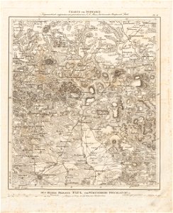
19th-century maps of bavaria
illustration
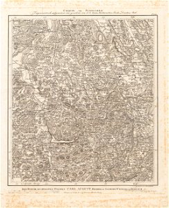
old maps of switzerland
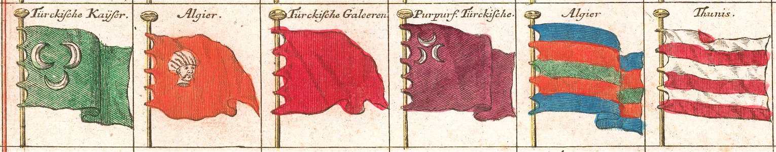
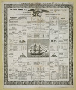
flag charts
old maps of lake constance
maps
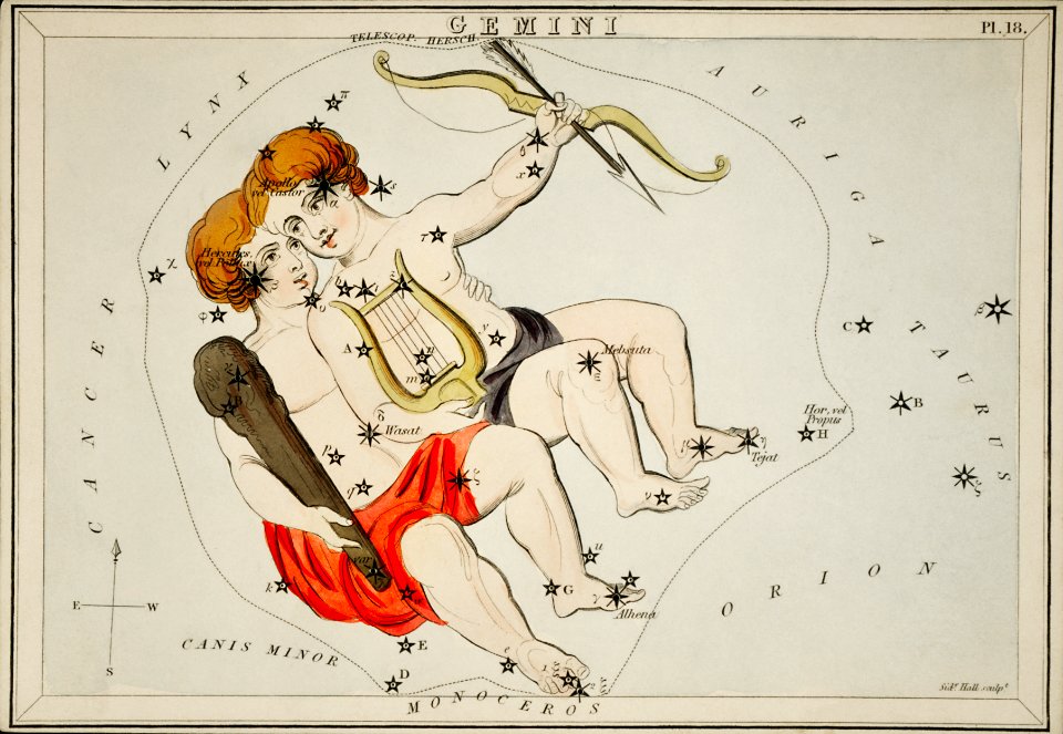
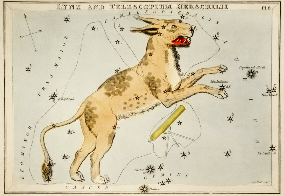
astrology
flag charts
charte von schwaben (bohnenberger)
charte von schwaben (bohnenberger)
charte von schwaben (bohnenberger)
charte von schwaben (bohnenberger)
charte von schwaben (bohnenberger)
charte von schwaben (bohnenberger)
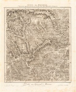
charte von schwaben (bohnenberger)
charte von schwaben (bohnenberger)
charte von schwaben (bohnenberger)
charte von schwaben (bohnenberger)
charte von schwaben (bohnenberger)
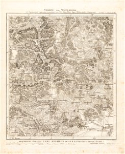
charte von schwaben (bohnenberger)
charte von schwaben (bohnenberger)
charte von schwaben (bohnenberger)
charte von schwaben (bohnenberger)
charte von schwaben (bohnenberger)
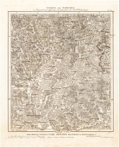
charte von schwaben (bohnenberger)
maps of ulm
charte von schwaben (bohnenberger)
maps of ravensburg
charte von schwaben (bohnenberger)
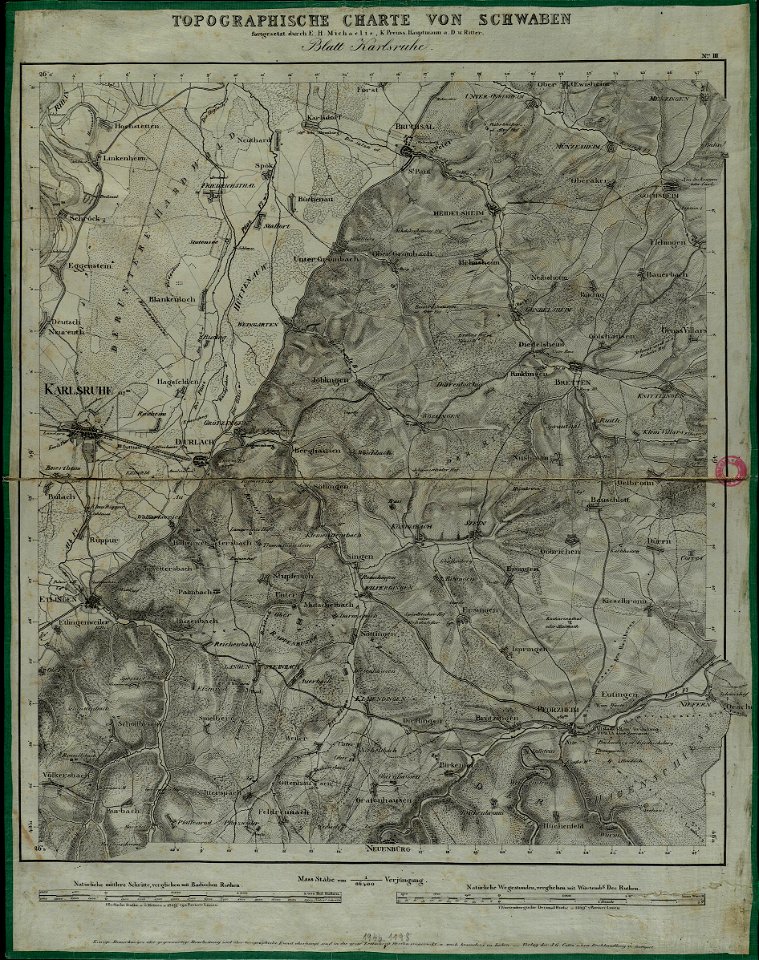
maps of karlsruhe
charte von schwaben (bohnenberger)
maps of stuttgart
charte von schwaben (bohnenberger)
old maps of vorarlberg
charte von schwaben (bohnenberger)
old maps of switzerland
charte von schwaben (bohnenberger)
old maps of vorarlberg
charte von schwaben (bohnenberger)
charte von schwaben (bohnenberger)
maps of heilbronn
charte von schwaben (bohnenberger)
geography of landkreis biberach
charte von schwaben (bohnenberger)
history of schwäbisch hall
charte von schwaben (bohnenberger)
19th-century maps of bavaria
charte von schwaben (bohnenberger)
old maps of switzerland
charte von schwaben (bohnenberger)
19th-century maps of bavaria
charte von schwaben (bohnenberger)
old maps of lake constance
charte von schwaben (bohnenberger)
19th-century maps of bavaria
charte von schwaben (bohnenberger)
19th-century maps of bavaria
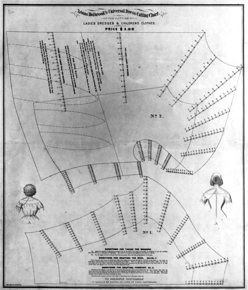
fashion in 1870
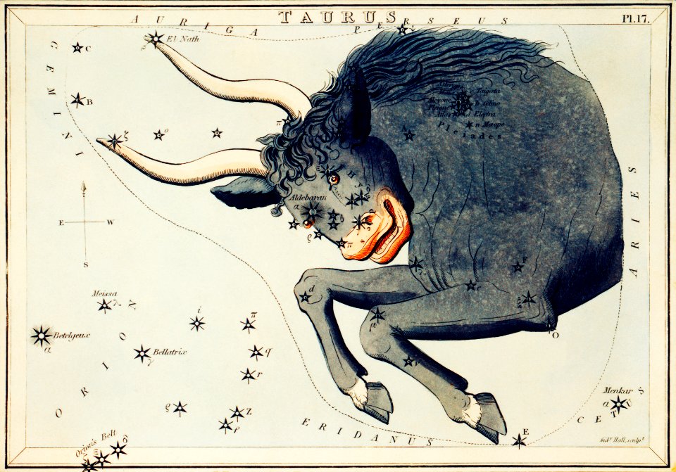
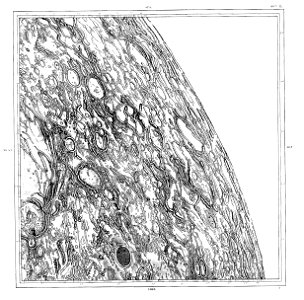
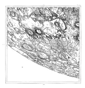
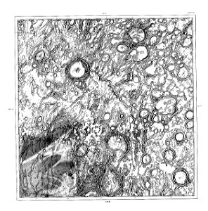
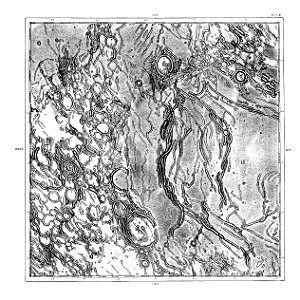
astronomy
maps
maps
bull
charte von schwaben (bohnenberger)
19th-century maps of bavaria
charte von schwaben (bohnenberger)
19th-century maps of bavaria
charte von schwaben (bohnenberger)
old maps of bas-rhin
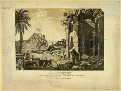
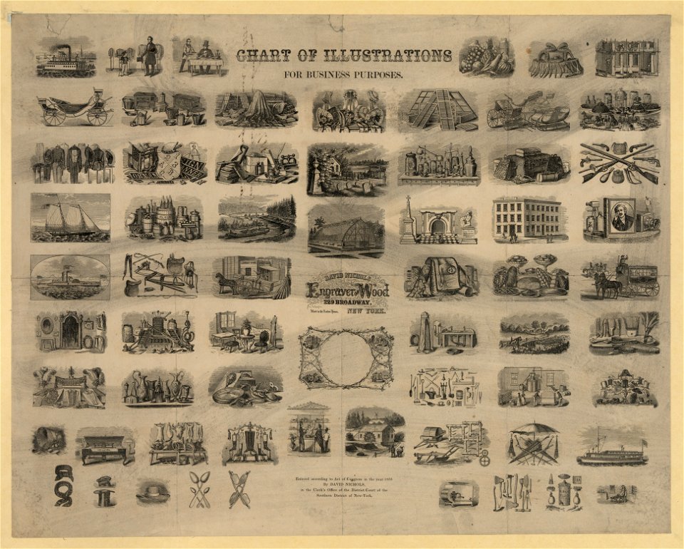
illustration
illustration
fashion in 1870
charte von schwaben (bohnenberger)
old maps of bas-rhin
charte von schwaben (bohnenberger)
old maps of freiburg im breisgau
19th-century maps of bavaria
nördlinger ries
old maps of lake constance
reichenau island
charte von schwaben (bohnenberger)
old maps of switzerland
old maps of switzerland
maps of basel
charte von schwaben (bohnenberger)
19th-century maps of bavaria
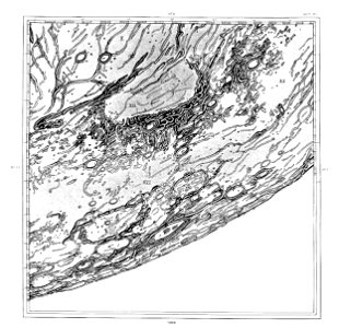
1878 charts
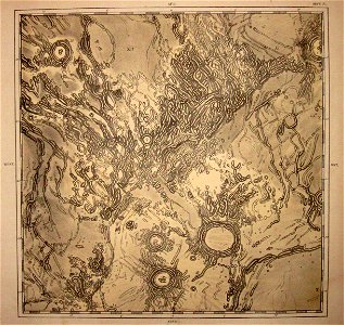
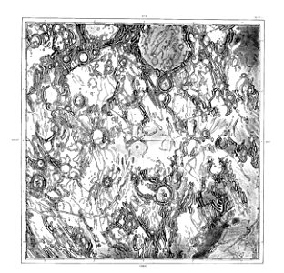
schmidt
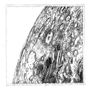
1878 charts
schmidt
1878 charts
schmidt
1878 charts
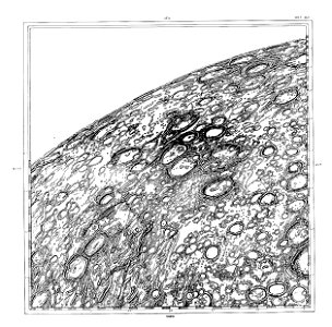
schmidt
1878 charts
schmidt
1878 charts
schmidt
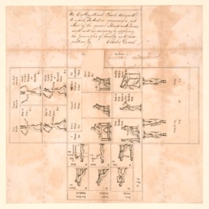
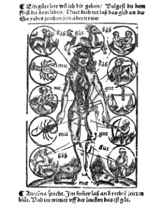
bloodletting charts
illustration
charte von schwaben (bohnenberger)
old maps of the danube
tobias conrad lotter
flag charts
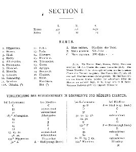
popular science monthly illustrations/volume 18
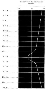
barograms
charte von schwaben (bohnenberger)
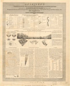
1827 engravings
old maps of lake constance
old maps of switzerland
1878 charts
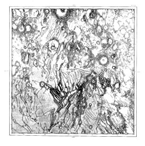
schmidt
1878 charts
schmidt
1878 charts
schmidt
1878 charts
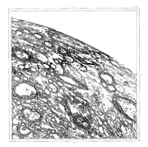
schmidt
1878 charts
schmidt
1878 charts
schmidt
1878 charts
schmidt
1878 charts
schmidt
1878 charts
schmidt
1878 charts
schmidt
1878 charts
schmidt
1878 charts
schmidt
1878 charts
schmidt
bloodletting charts
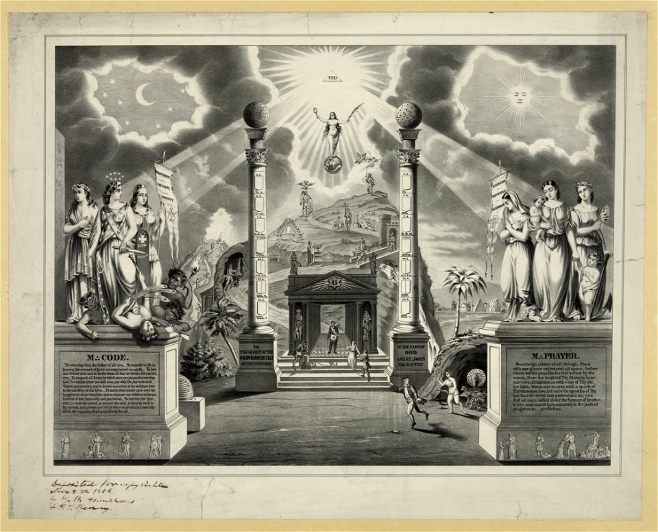
masonic documents
illustration
illustration
illustration
book illustration
1878 charts
schmidt
1878 charts
schmidt
1878 charts
schmidt
19th-century maps of bavaria
staffelsee
old maps of rhineland-palatinate
old maps of bas-rhin
tobias conrad lotter
flag charts
illustration
illustration
fashion in 1884
book illustration
sketch
maps
alpstein
säntis
illustration
book illustration
bloodletting charts
19th-century maps of bavaria
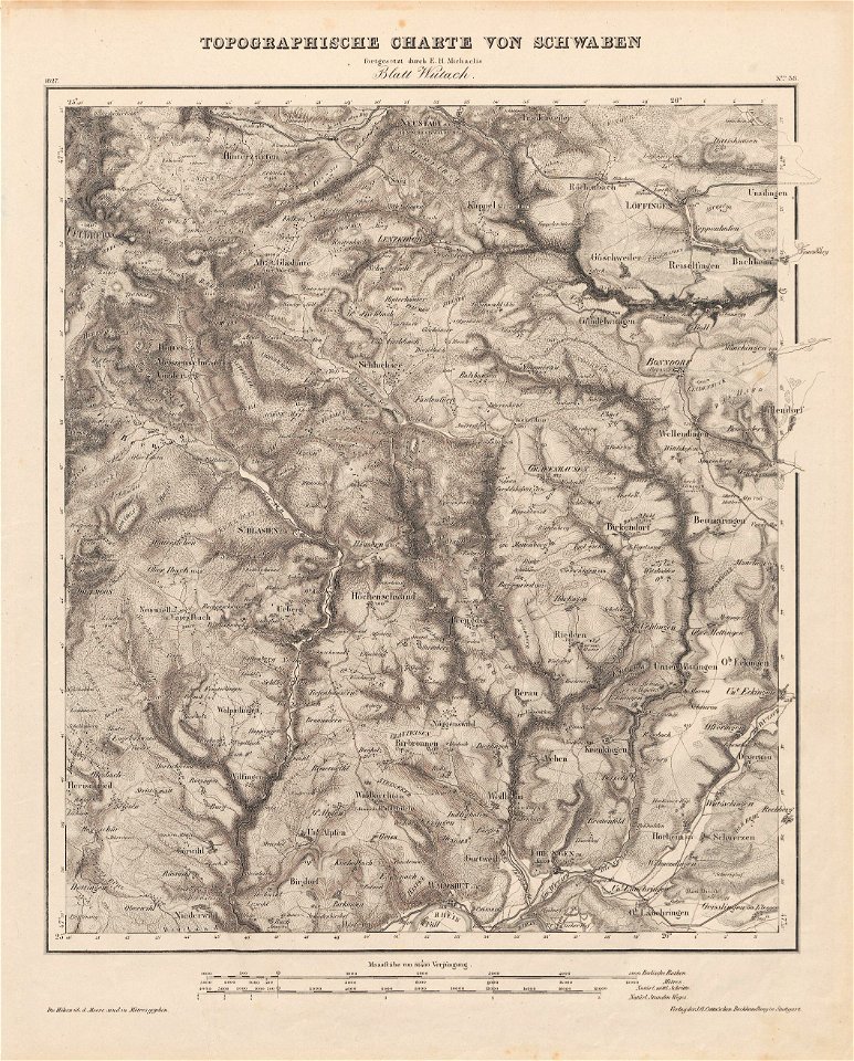
wertach river in augsburg
geography of marktoberdorf
kohlhunden
engraved illustrations
1 - 100 of 947
Next page
/ 10