Log in
All resources
Create a design
1,477 Free Artworks of Survey
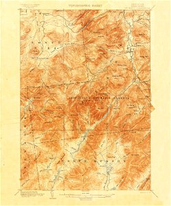
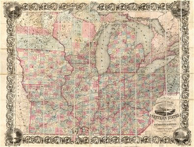
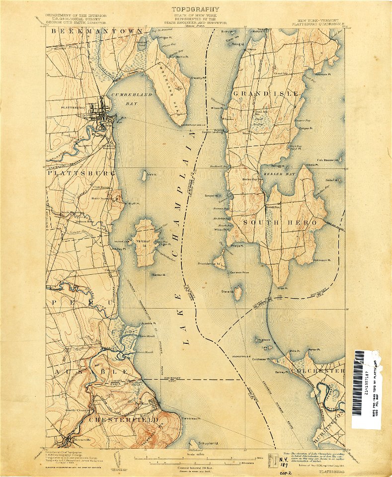
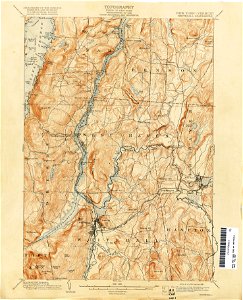
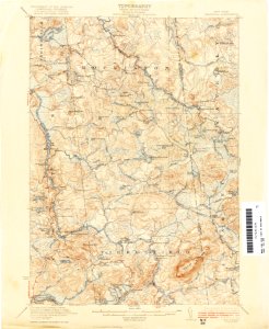
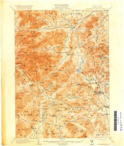
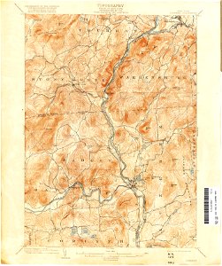
united states geological survey maps
maps of the adirondack mountains
topographic maps of new york (state)
old maps of new york (state)
djvu files in english
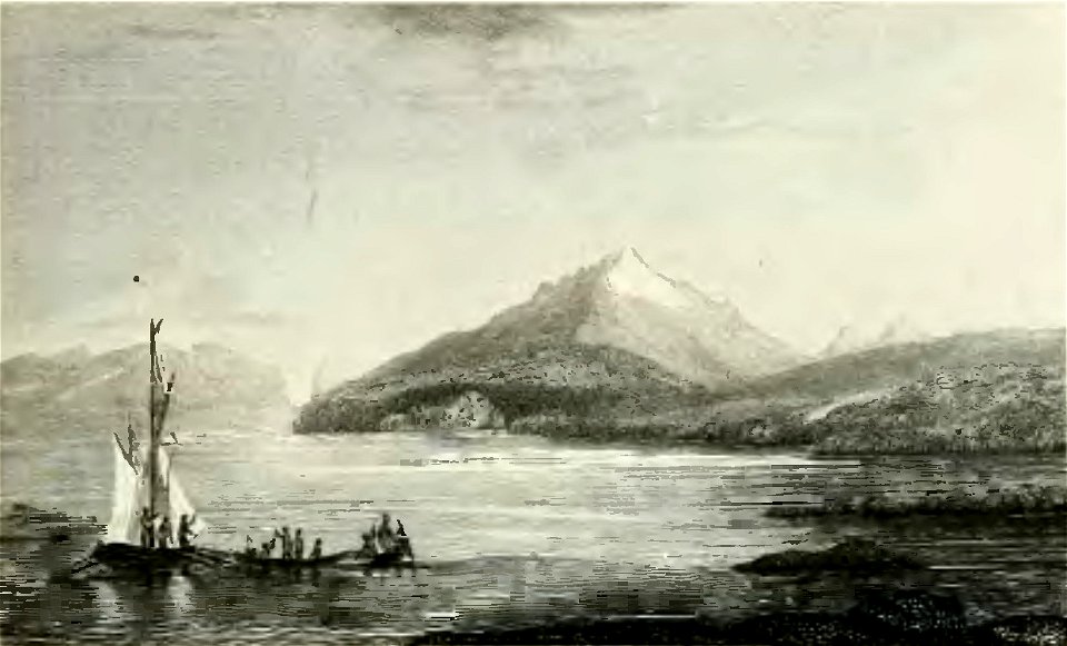
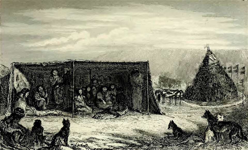
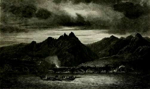
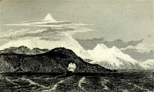
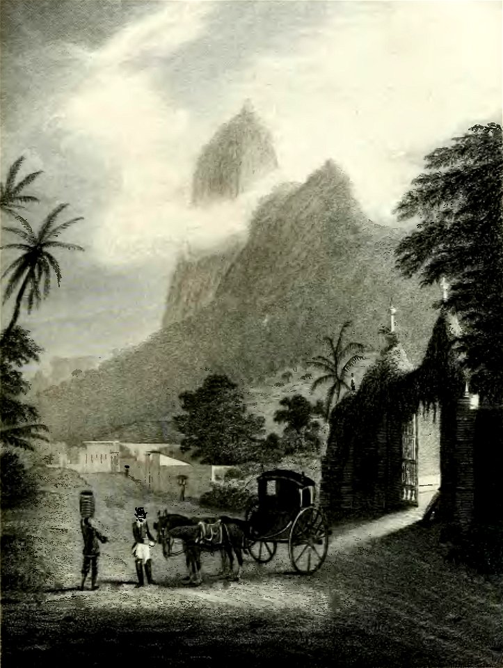
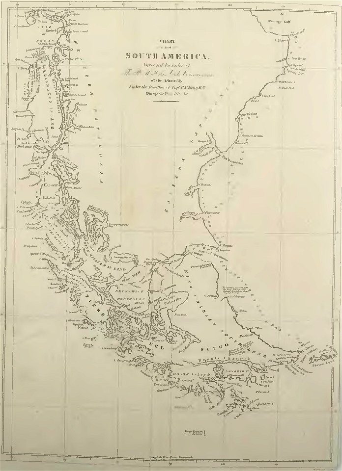
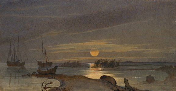
books about patagonia
narrative of the surveying voyages of his majesty's ships adventure and beagle between the years 1826 and 1836
1839 books djvu files
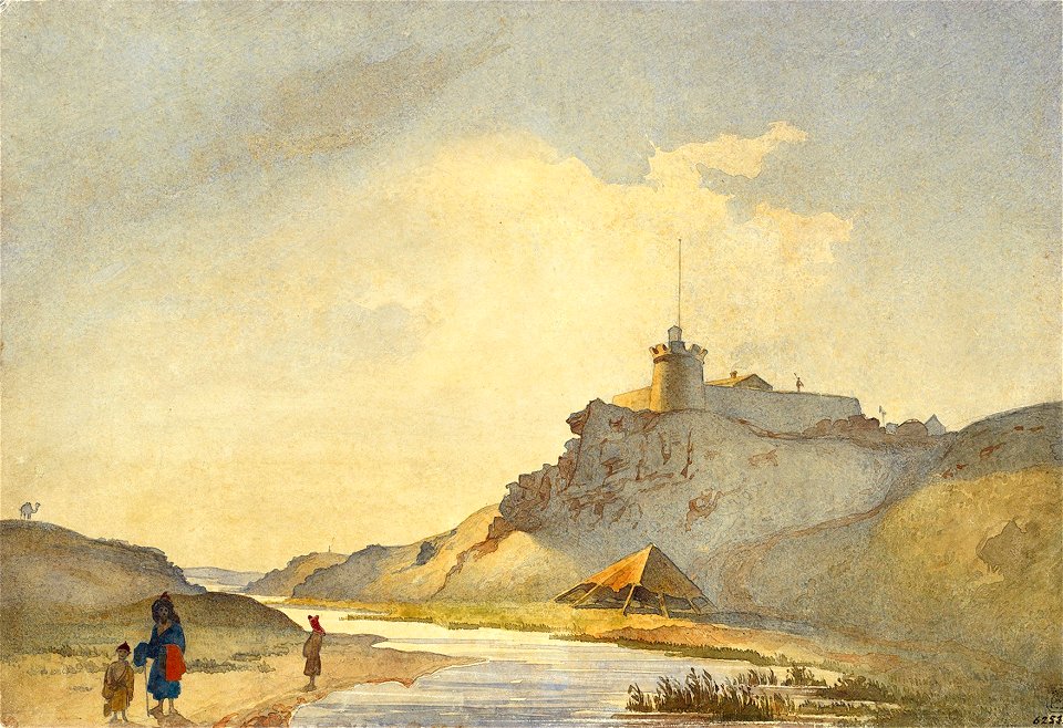
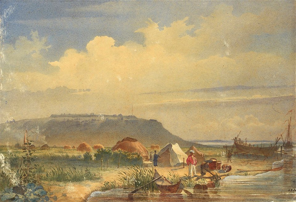
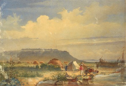
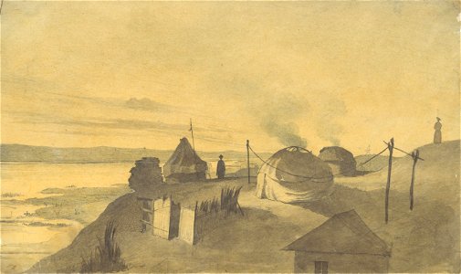
1848-1849 - survey of the sea of aral - drawings by taras shevchenko
report on the united states and mexican boundary survey
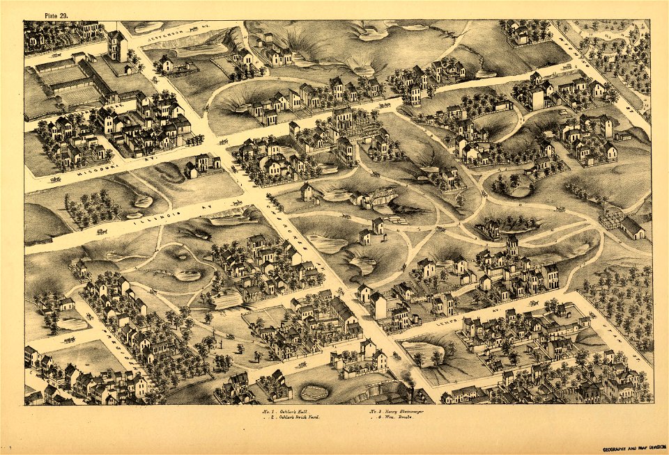
maps in the library of congress
pictorial st. louis
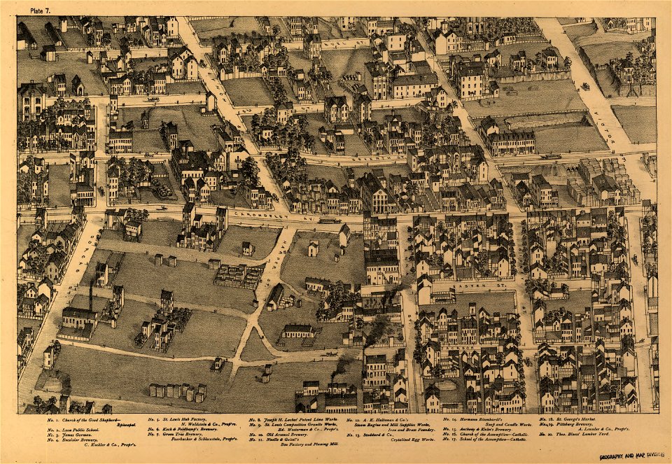
maps in the library of congress
pictorial st. louis
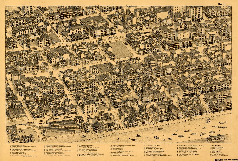
maps in the library of congress
pictorial st. louis
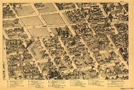
maps in the library of congress
pictorial st. louis
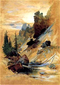
hayden geological survey of 1871
watercolors by thomas moran
pastoral landscape paintings
1880s landscape paintings
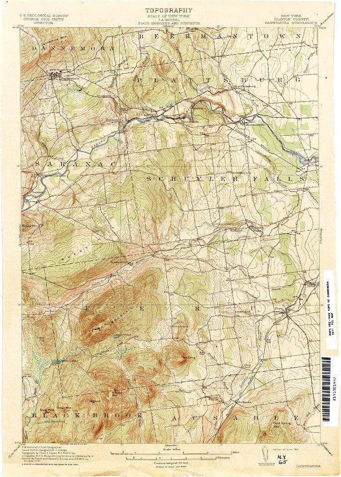
united states geological survey maps
united states geological survey
1848-1849 - survey of the sea of aral - drawings by taras shevchenko
1848-1849 - survey of the sea of aral - drawings by taras shevchenko
djvu files in english
books about patagonia
djvu files in english
books about patagonia
djvu files in english
books about patagonia
djvu files in english
books about patagonia
djvu files in english
books about patagonia
djvu files in english
books about patagonia
djvu files in english
books about patagonia
djvu files in english
books about patagonia
1848-1849 - survey of the sea of aral - drawings by taras shevchenko
djvu files in english
books about patagonia
djvu files in english
books about patagonia
paintings in the sarjeant gallery
djvu files in english
books about patagonia
djvu files in english
books about patagonia
report on the united states and mexican boundary survey
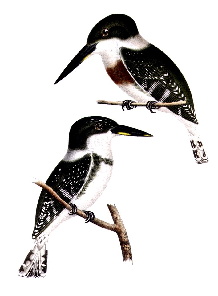
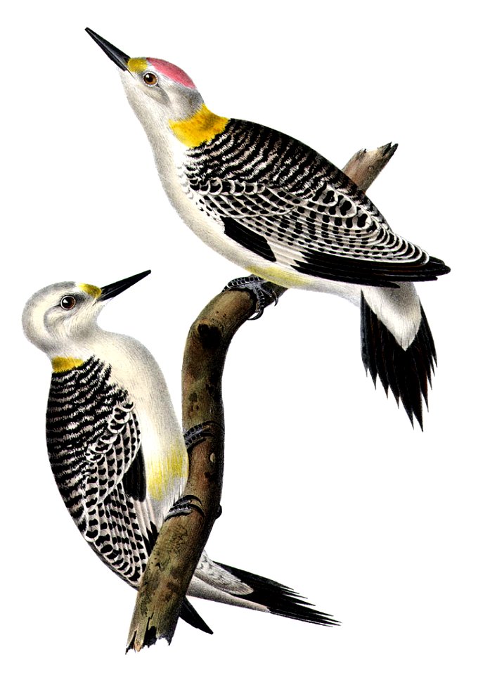
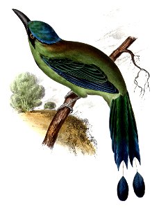
chloroceryle americana (illustrations)
made under the direction of the secretary of the interior
report on the united states and mexican boundary survey
maps of the eastern theater of the american civil war
old maps of the american civil war
made under the direction of the secretary of the interior
report on the united states and mexican boundary survey
1848-1849 - survey of the sea of aral - drawings by taras shevchenko
report on the united states and mexican boundary survey
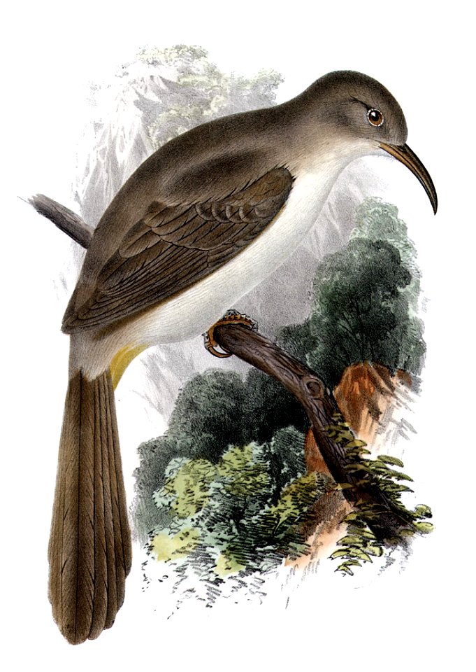
chordeiles acutipennis
travels in various countries of europe
asia and africa
maps in the library of congress
1853 maps
report on the united states and mexican boundary survey
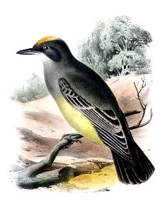
cassin's kingbird
made under the direction of the secretary of the interior
report on the united states and mexican boundary survey
1848-1849 - survey of the sea of aral - drawings by taras shevchenko
artworks with known accession number
artworks without wikidata item
made under the direction of the secretary of the interior
report on the united states and mexican boundary survey
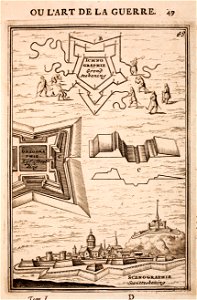
fortifications in art
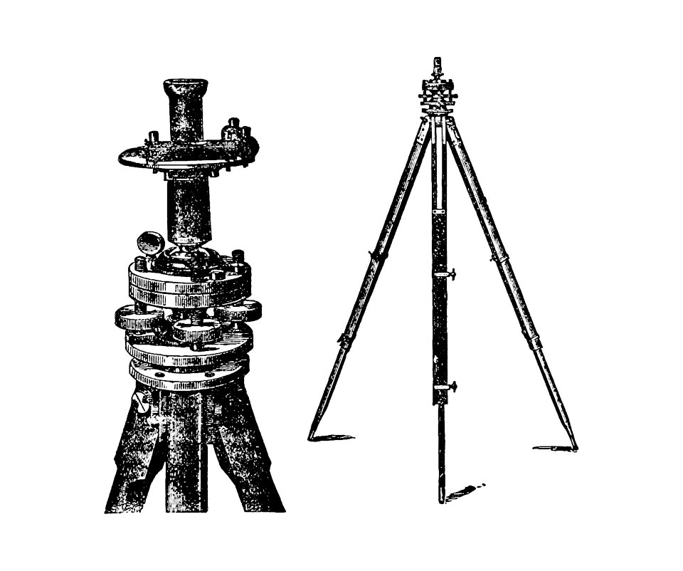
tape measure
1848-1849 - survey of the sea of aral - drawings by taras shevchenko
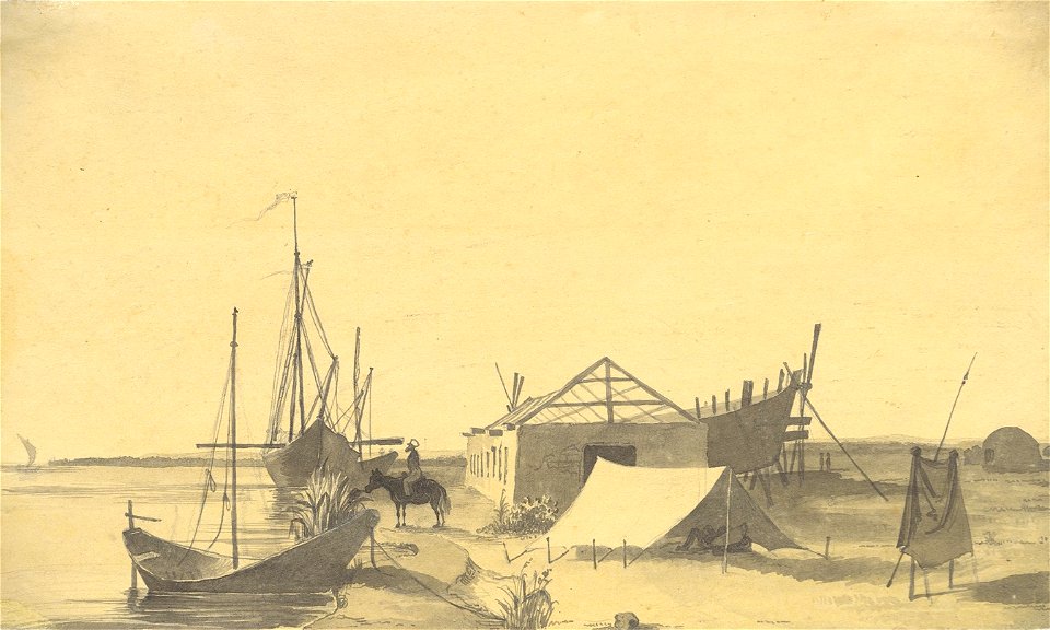
fort raim
report on the united states and mexican boundary survey
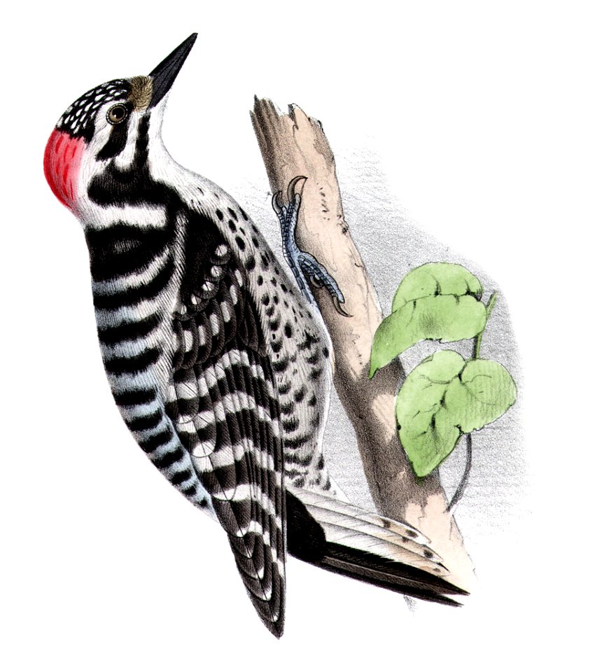
momotus coeruliceps
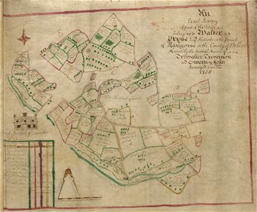
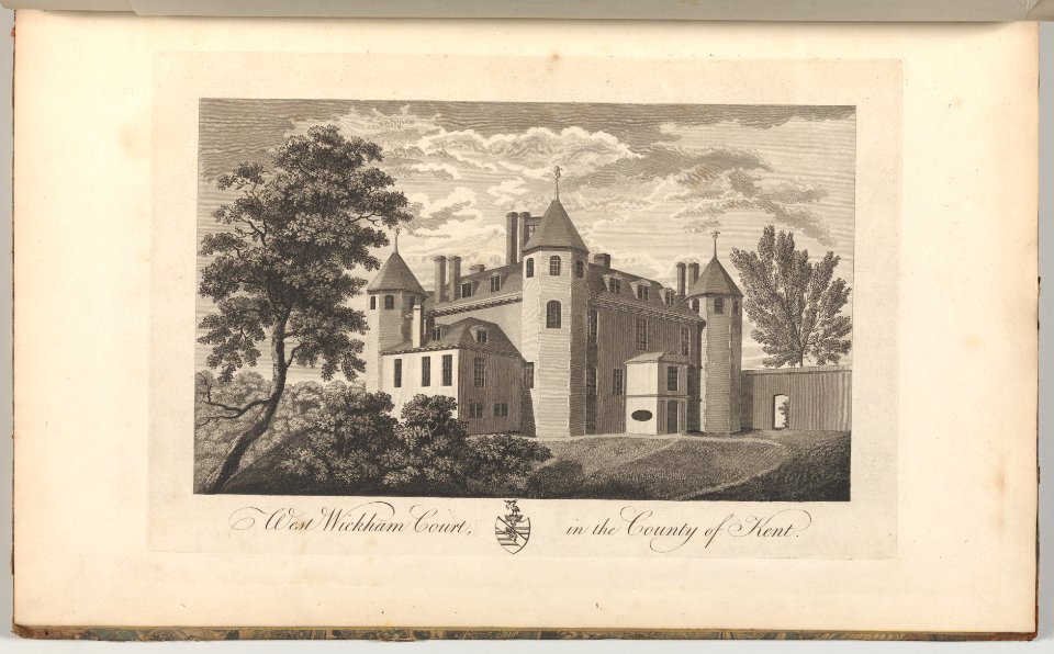
estate maps in the national library of wales
estate maps
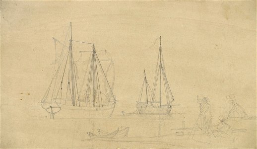
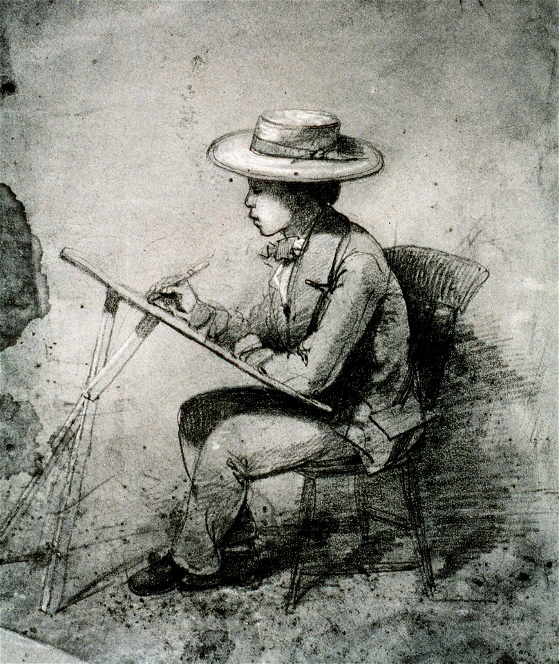
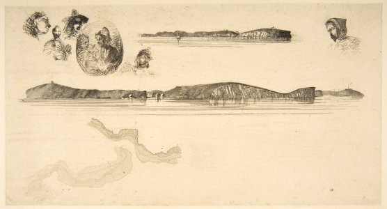
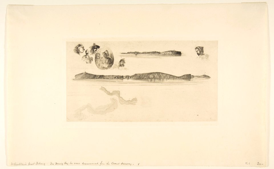
drawings by james mcneill whistler
1854 drawings
made under the direction of the secretary of the interior
report on the united states and mexican boundary survey
1848-1849 - survey of the sea of aral - drawings by taras shevchenko
fort raim
greece
italy
1848-1849 - survey of the sea of aral - drawings by taras shevchenko
self-portraits by taras shevchenko
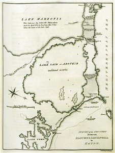
old maps of alexandria
asia and africa
royal navy officers
printing
united states geological survey maps
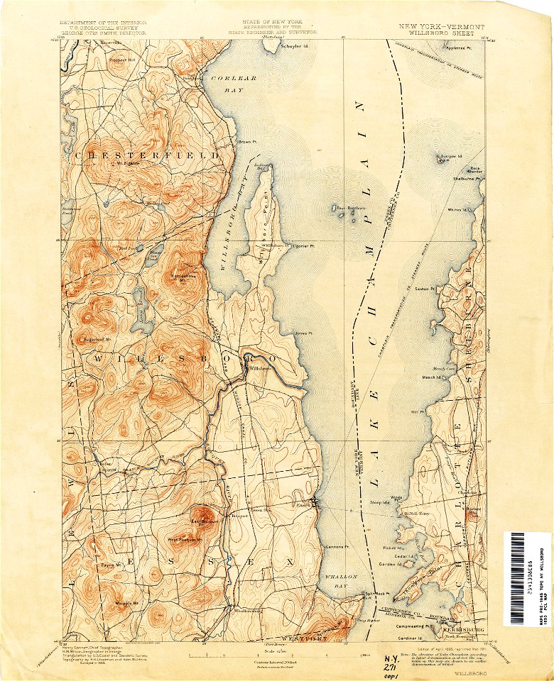
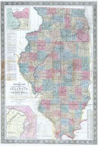
old maps of new york (state)
united states geological survey maps
old maps of new york (state)
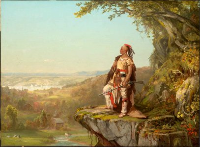
list of hudson river school artists
boston
united states geological survey maps
old maps of new york (state)
united states geological survey maps
old maps of new york (state)
united states geological survey maps
old maps of new york (state)
united states geological survey maps
old maps of new york (state)
united states geological survey maps
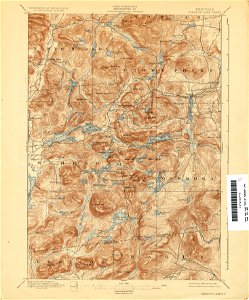
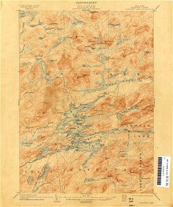
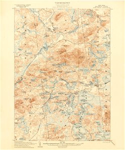
maps of the adirondack mountains
united states geological survey maps
old maps of new york (state)
united states geological survey maps
old maps of new york (state)
united states geological survey maps
old maps of new york (state)
united states geological survey maps
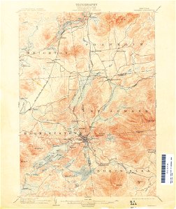
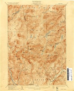
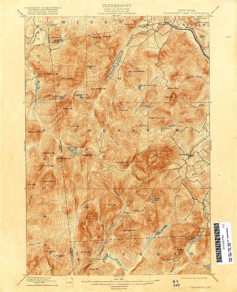
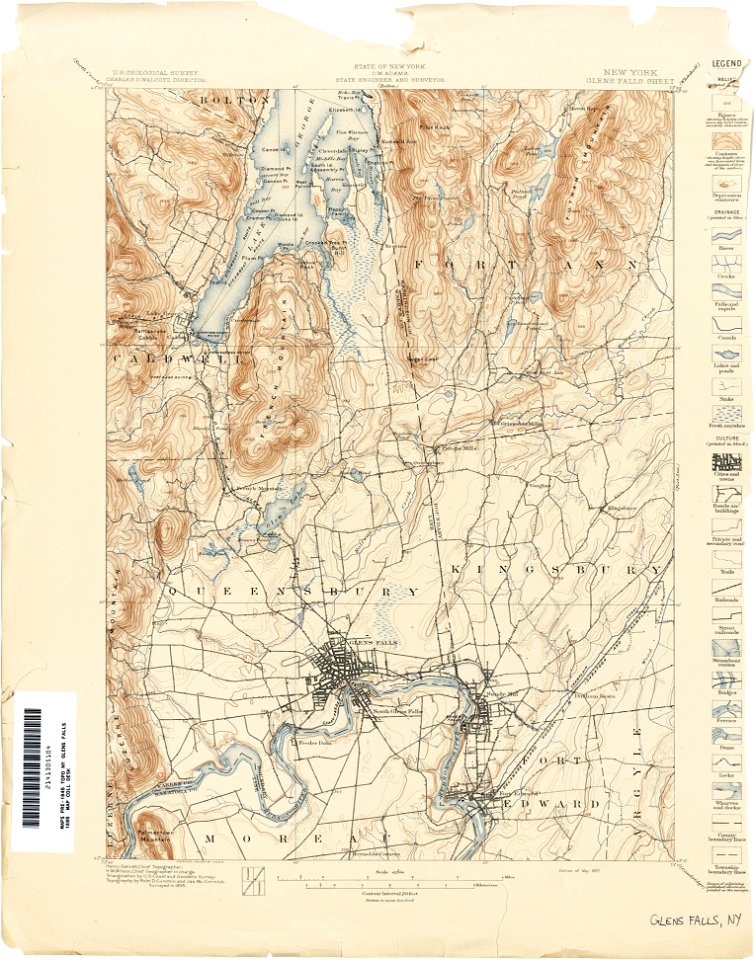
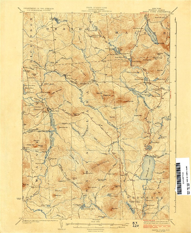
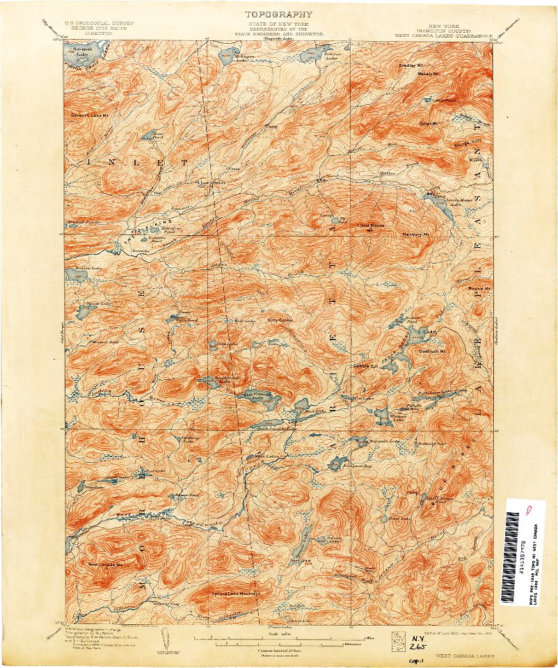
topographic maps of new york (state)
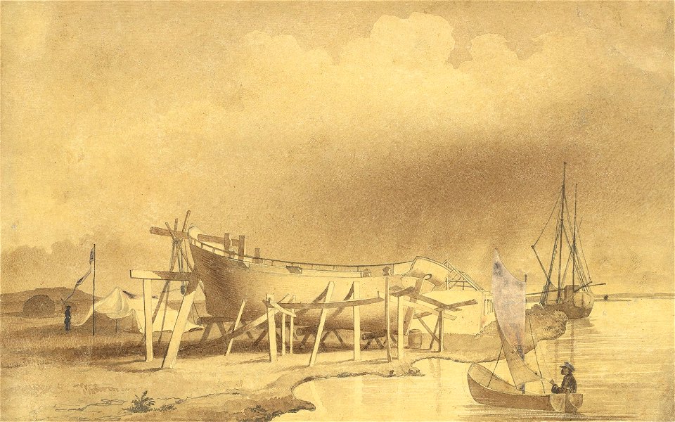
pilot boats in the united kingdom
printing
united states geological survey maps
old maps of new york (state)
united states geological survey maps
old maps of new york (state)
united states geological survey maps
old maps of new york (state)
united states geological survey maps
old maps of new york (state)
united states geological survey maps
old maps of new york (state)
united states geological survey maps
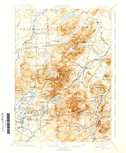
topographic maps of new york (state)
united states geological survey maps
old maps of new york (state)
charts and maps of the royal museums greenwich
18th-century maps of the mediterranean sea
united states geological survey maps
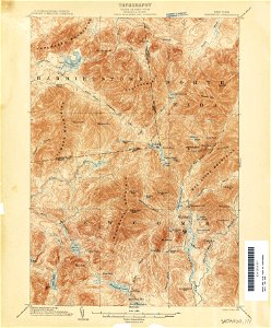
topographic maps of new york (state)
united states geological survey maps
old maps of new york (state)
united states geological survey maps
old maps of new york (state)
united states geological survey maps
old maps of new york (state)
united states geological survey maps
old maps of new york (state)
artworks with known accession number
artworks without wikidata item
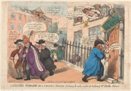
18th-century artwork by unknown artists from the united kingdom
artworks without wikidata item
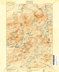
united states geological survey maps
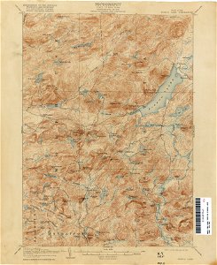
topographic maps of new york (state)
united states geological survey maps
old maps of new york (state)
united states geological survey maps
old maps of new york (state)
united states geological survey maps
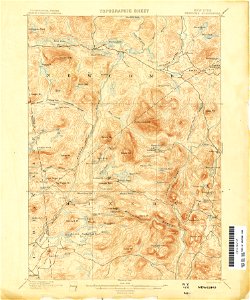
topographic maps of new york (state)
united states geological survey maps
old maps of new york (state)
united states geological survey maps
old maps of new york (state)
united states geological survey maps
old maps of new york (state)
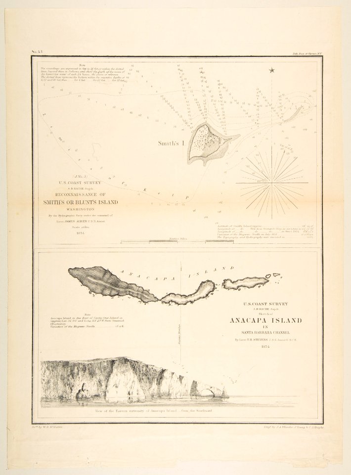
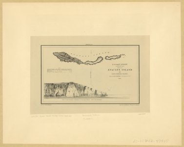
anacapa island
california
charts and maps of the royal museums greenwich
18th-century maps of the mediterranean sea
united states geological survey maps
old maps of new york (state)
maps in the library of congress
1860 maps
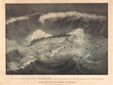
cape hatteras
printing
old maps of new york (state)
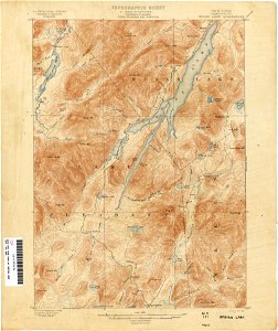
new york
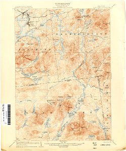
loon lake
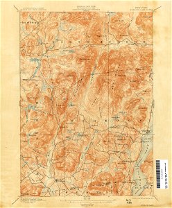
new york
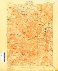
old forge
new york
technology
accessory
1848-1849 - survey of the sea of aral - drawings by taras shevchenko
1848 paintings from ukraine
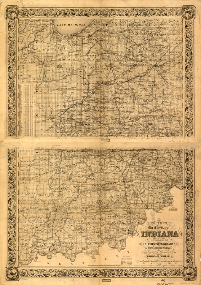
english-language maps
missouri
maps in the library of congress
old maps of louisiana
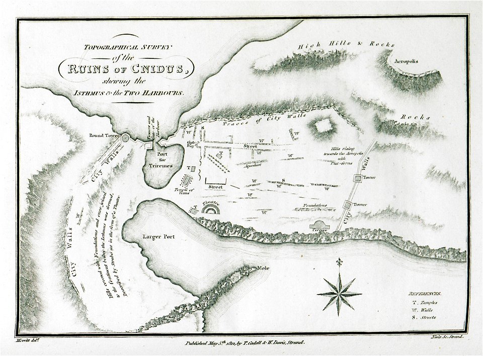
greece
italy
artworks with known accession number
artworks without wikidata item
artworks with known accession number
artworks without wikidata item
artworks with known accession number
artworks without wikidata item
charts and maps of the royal museums greenwich
james cook (maps relating to)
london
1841
101 - 200 of 1,477
Next page
/ 15