Đăng nhập
Tất cả tài nguyên
Tạo thiết kế
467 Tác phẩm nghệ thuật miễn phí cho Cá Mập
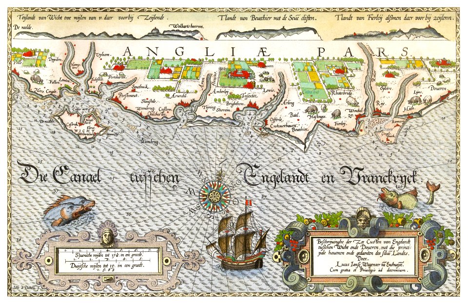
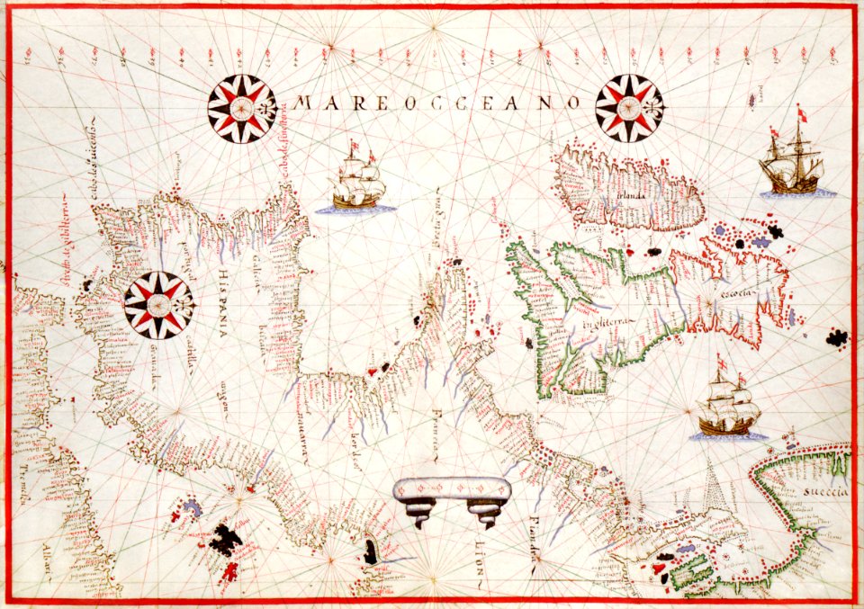
bản đồ
đồ cổ
cổ điển
động vật
bản đồ thế giới
áp phích
biển
atlat
đại dương
màu nước
châu phi
bản đồ
nghệ thuật
bản đồ
bản đồ
úc
phong cảnh
bản đồ
áp phích
bản đồ
bản đồ
biển
new york
bản đồ
bản đồ
đồ cổ
cổ điển
bản đồ
bản đồ
địa lý
thiên văn học
bản đồ
nghệ thuật
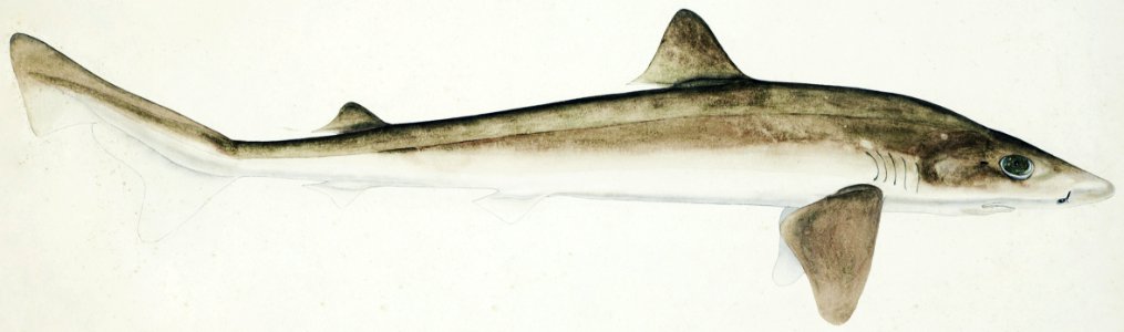
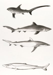
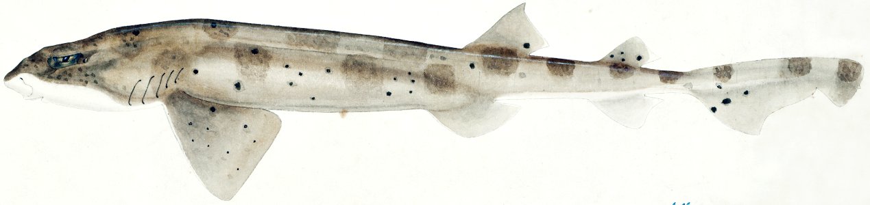
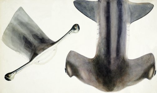
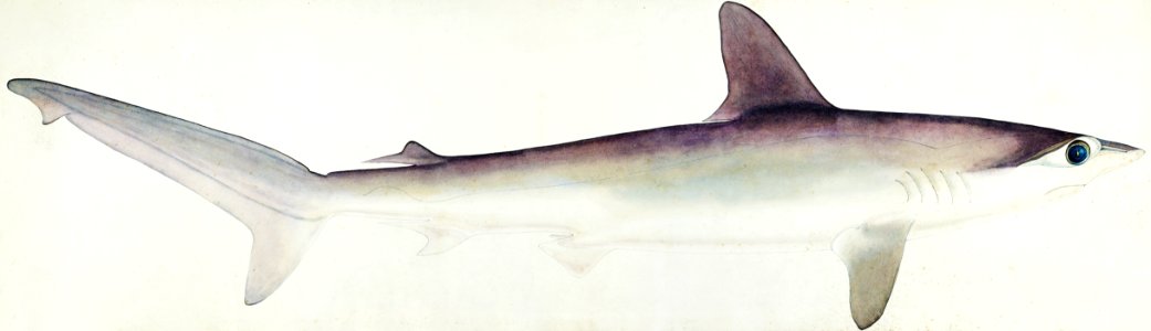
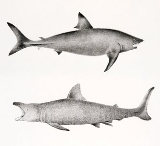
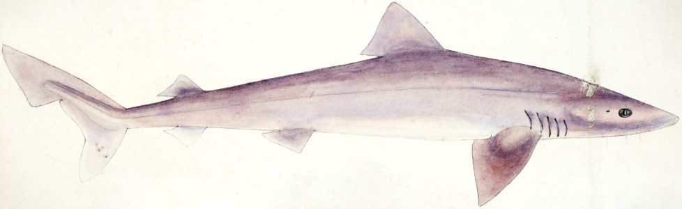
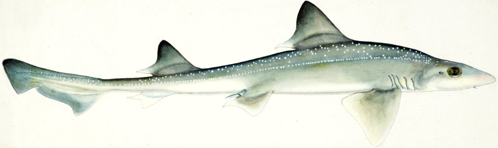
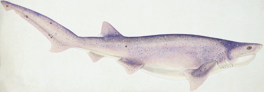
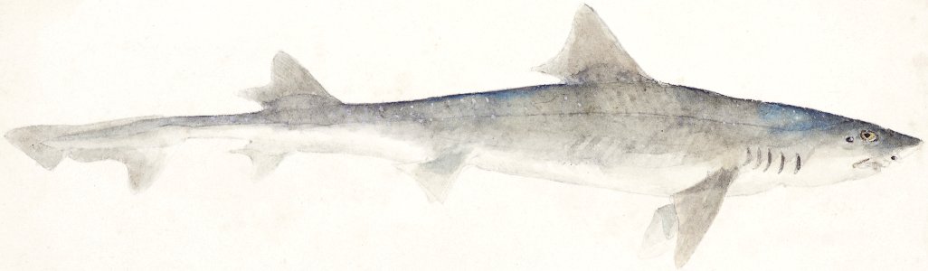
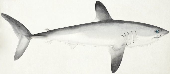
cá mập
cổ điển
bản đồ
sự minh họa
bản đồ
bản đồ
biển
thế giới
bản đồ
động vật
cá mập
bản đồ
biển
biển
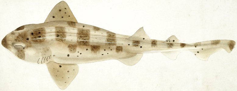
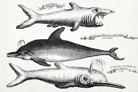
cá
quả địa cầu
bản đồ
động vật
cá
cổ điển
bản đồ
động vật
cá
động vật
cá
động vật
cá
động vật
biển
quả địa cầu
bản đồ
new york
cá
động vật
cá mập
động vật
cá mập
đại dương
động vật
biển
cá
đại dương
động vật
biển
cá
in ấn
động vật
cá
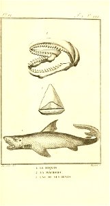
cá mập
cá mập
cá mập
cá mập
cá mập
1 - 100 của 467
Trang tiếp theo
/ 5