Anmelden
Alle Ressourcen
Design erstellen
Tools
1.801 Kostenlose Bilder von Satellit
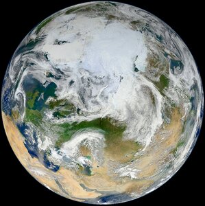
weltraum
planet
astronomie
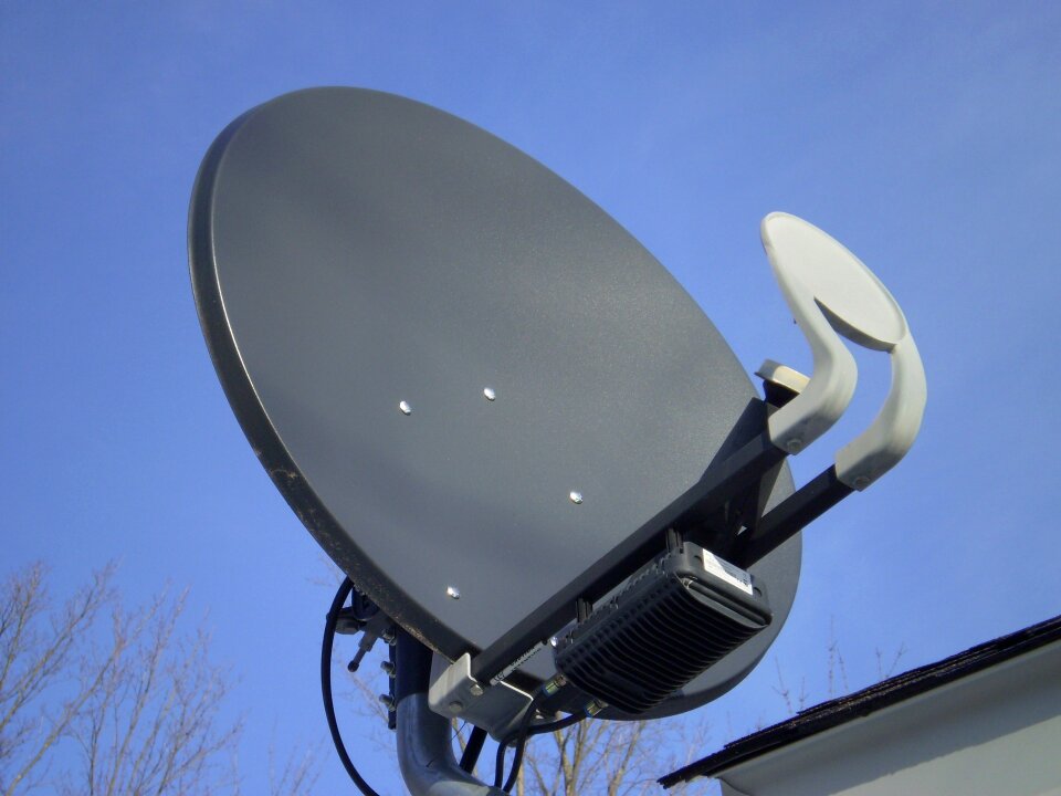
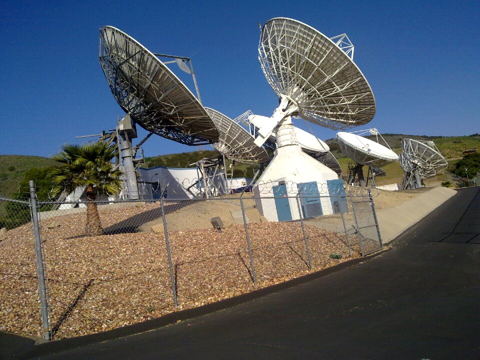
antenne
verkehrsmittel
flugzeug
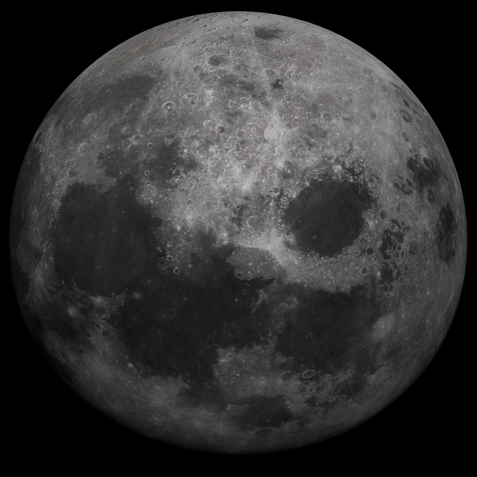
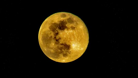
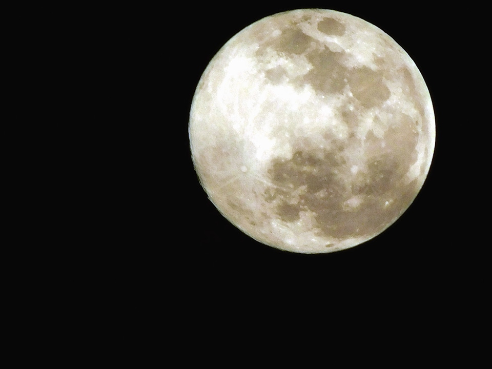
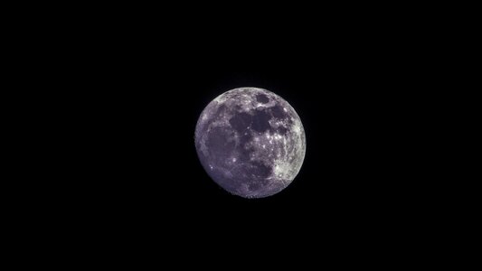
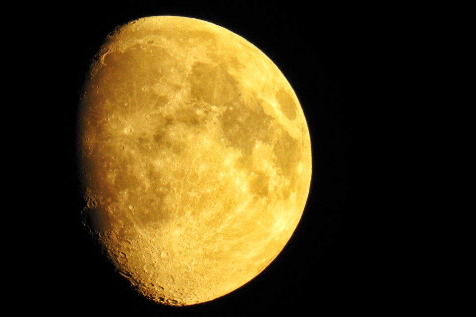
mond
nacht
himmel
blau
technologie
elektronik
verkehrsmittel
flugzeug
verkehrsmittel
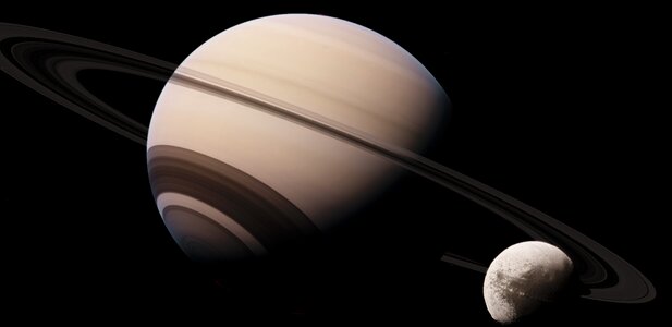
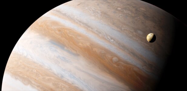
planet
weltraum
planet
weltraum
planet
hamburger
essen
tischtennis
ball
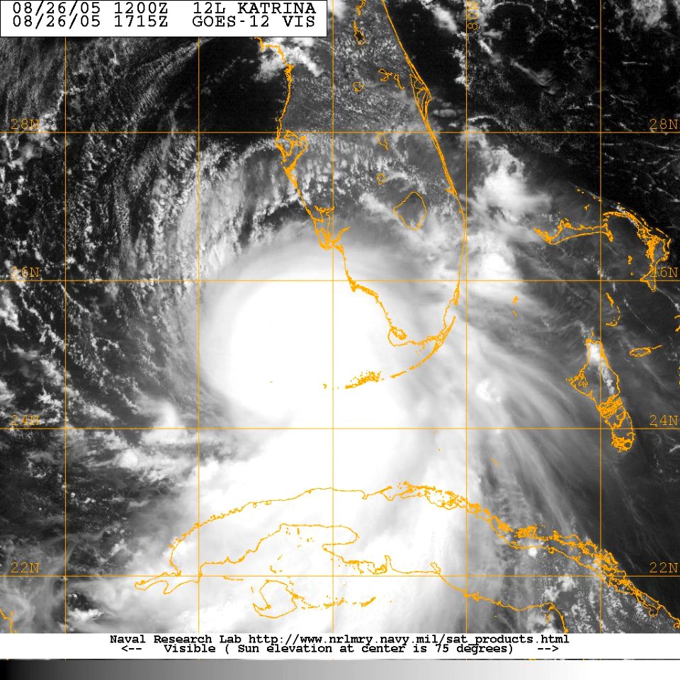
wolken
feder
astronomie
planet
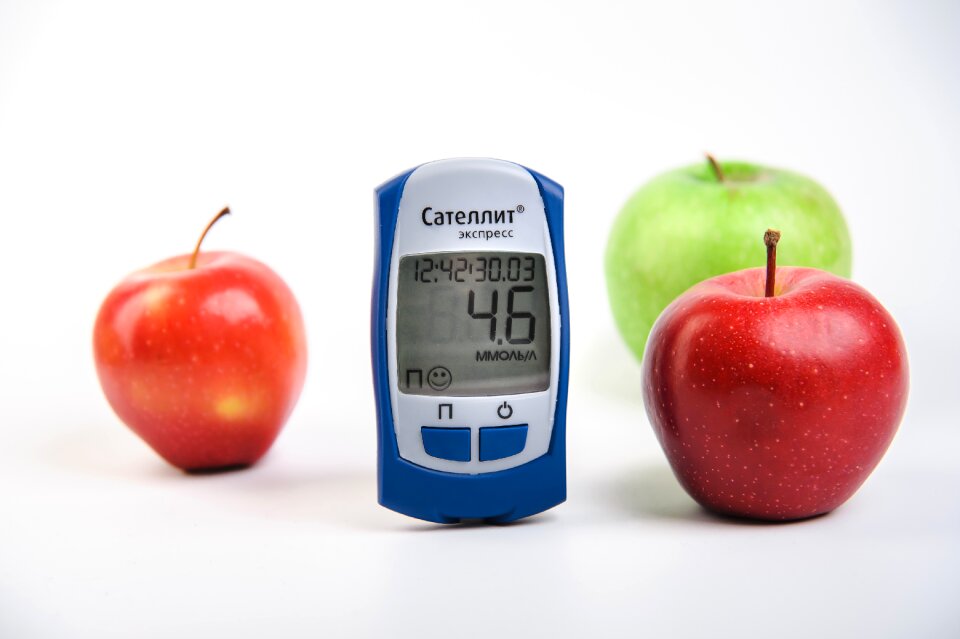
früchte
äpfel
weltraum
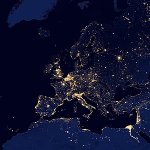
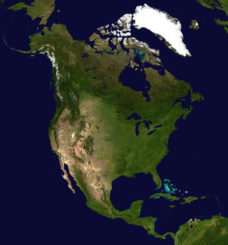
karten
karten
ozean
astronomie
weltraum
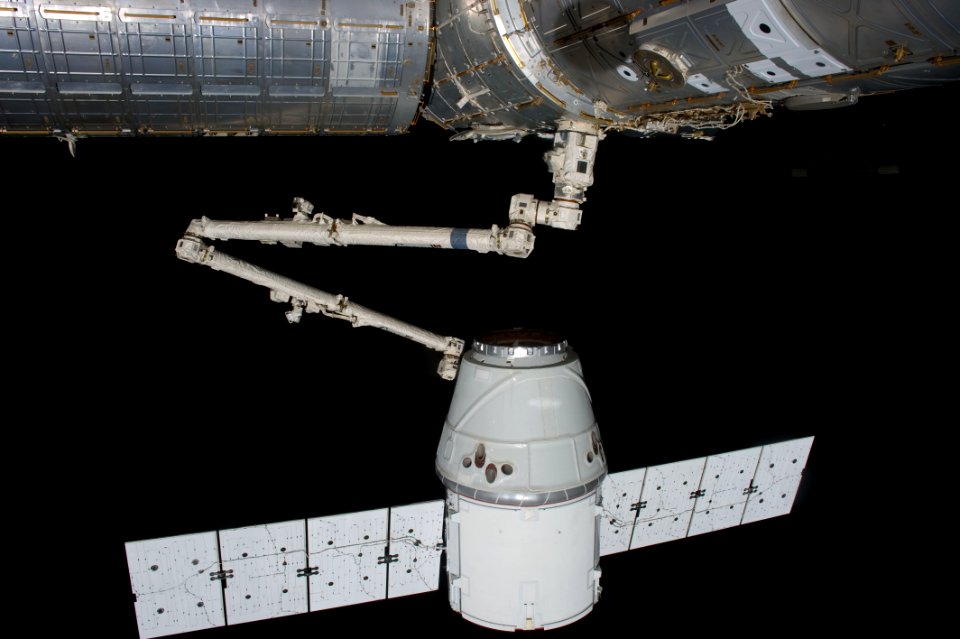
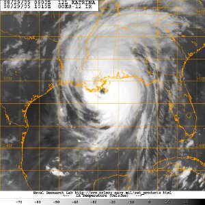
satellit
weltraum
technologie
industrie
schreibstift
hand
weltraum
planet
schablone
satellit
planet
mond
fernsehen
tv
flugzeug
künstler
verkehrsmittel
rakete
flugzeug
gebäude
verkehrsmittel
schiff
rezeption
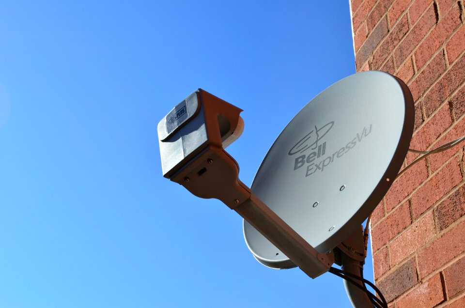
antenne
technologie
stadt
verkehrsmittel
stadt
schiff
boot
verkehrsmittel
astronomie
landschaft
natur
satellit
mond
astronomie
weltraum
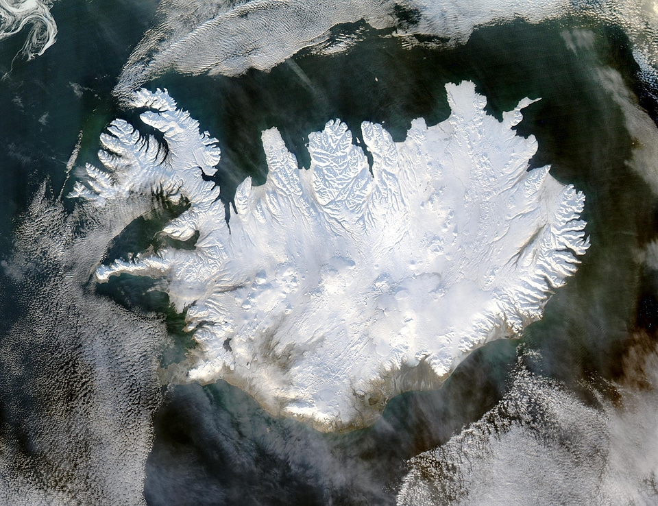
winter
kälte
ziegelwand
kommunikation
satellit
wissenschaft
planet
stahl
turm
wissenschaft
technologie
netzwerk
antenne
verkehrsmittel
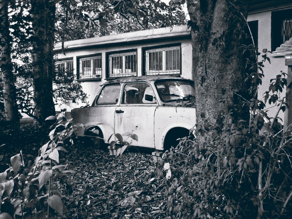
auto
weltraum
planet
astronomie
weltraum
erwerbstätigkeit
menschen
kreislinie
wolken
verkehrsmittel
wissenschaft
wissenschaft
technologie
astronomie
planet
wasser
natur
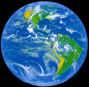
england
karten
brasilien
karten
weltraum
planet
satellit
antenne
weltraum
berg
weltraum
planet
kontinent
karten
mond
gelb
winter
natur
blauer himmel
ziegelwand
vereinigte staaten
weltraum
verkehrsmittel
auto
universität
weltraum
techniker
kabel
internet
blau
winter
eis
wissenschaft
technologie
metall
technologie
metall
weltraum
rakete
verkehrsmittel
auto
kamera
stuhl
weltraum
planet
401 - 500 von 1.801
Nächste Seite
/ 19