Anmelden
Alle Ressourcen
Design erstellen
Tools
1.801 Kostenlose Bilder von Satellit
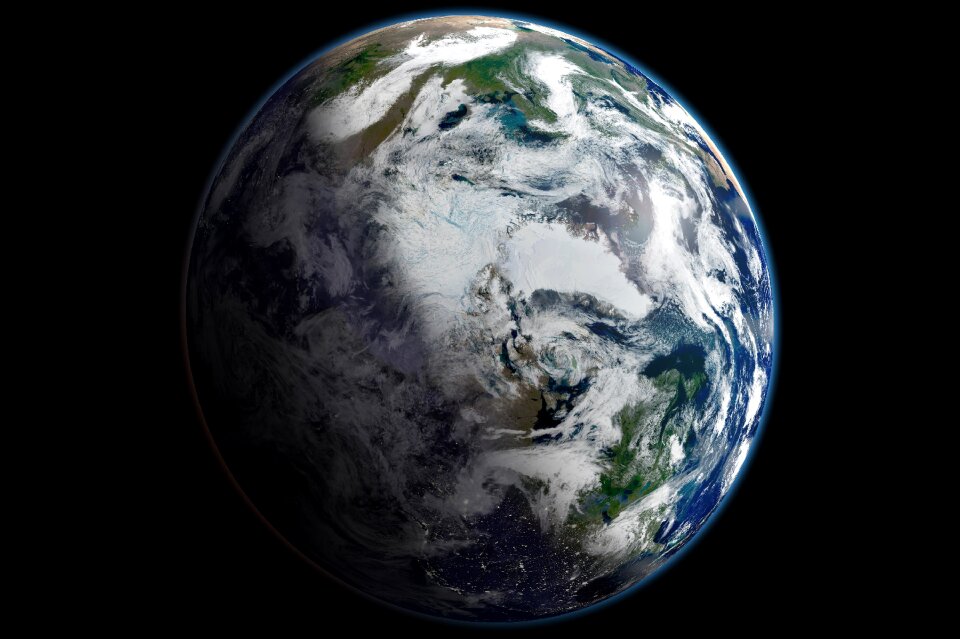
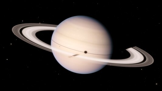
weltraum
astronomie
planet
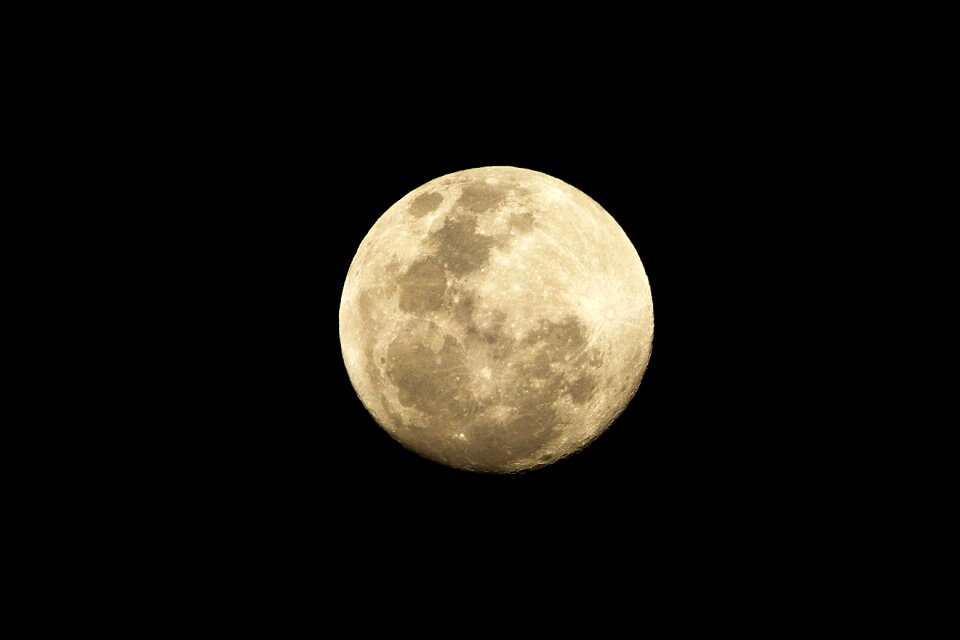
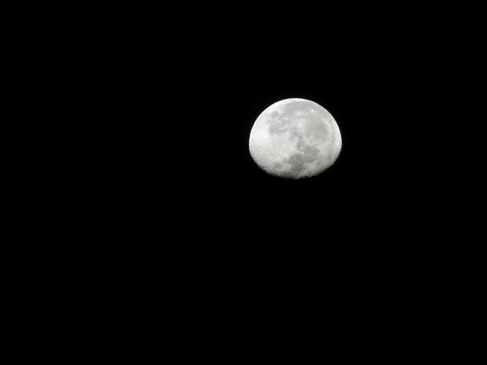
mond
himmel
nacht
stern
technologie
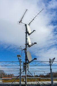
antenne
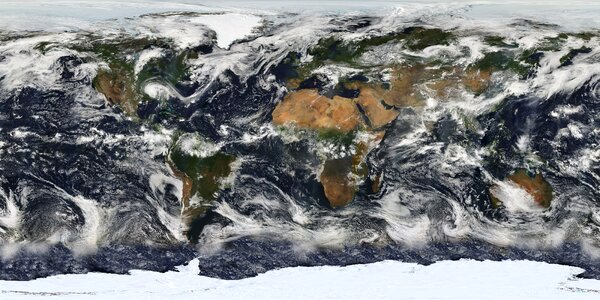
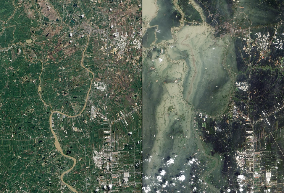
welt
karten
afrika
wissenschaft
technologie
winter
winter
schnee
wasserwelle
gras
landschaft
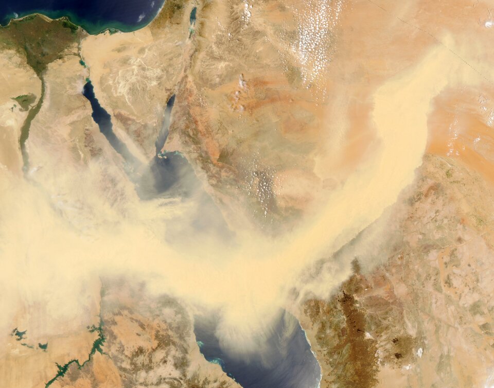
karten
ägypten
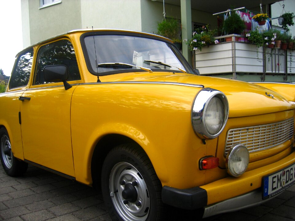
verkehrsmittel
gelb
astronomie
weltraum
satellit
weltraum
weltraum
rakete
weltraum
karten
wissenschaft
technologie
landschaft
natur
winter
verkehrsmittel
auto
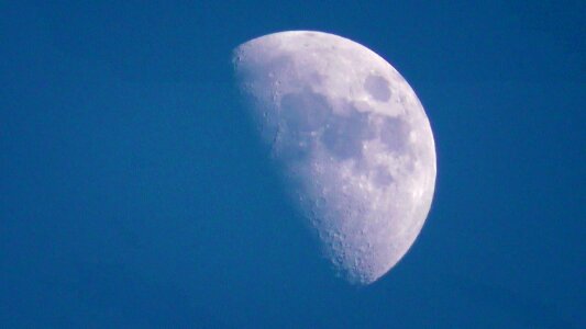
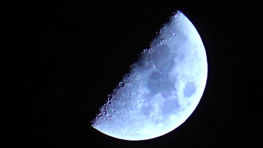
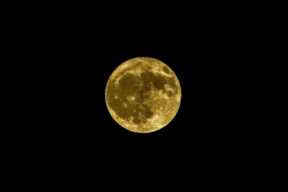
mond
blau
winter
kälte
stadt
dorf
himmel
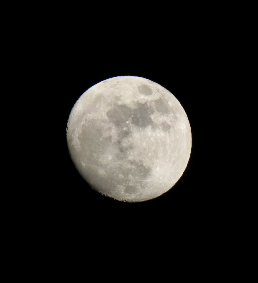
mond
weltraum
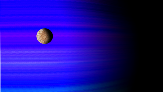
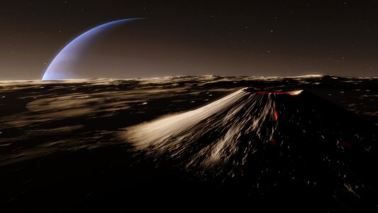
planet
wissenschaft
natur
hintergrund
weltraum
karten
wasser
umzug
mond
satellit
alien
weltraum
netzwerk
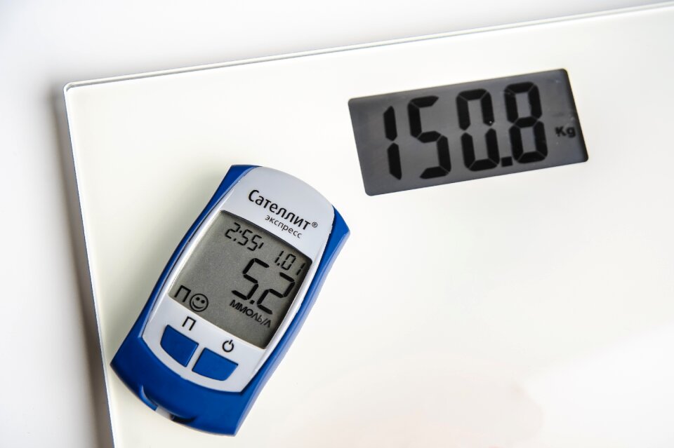
diabetes mellitus
astronomie
natur
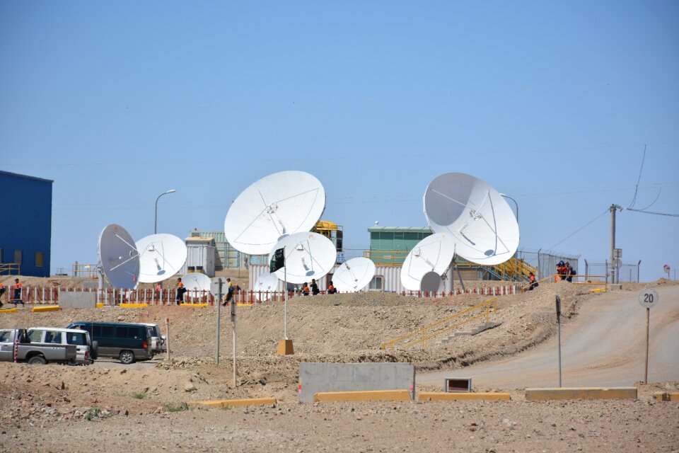
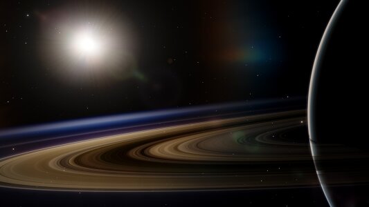
astronomie
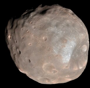
planet
satellit
schüssel
technologie
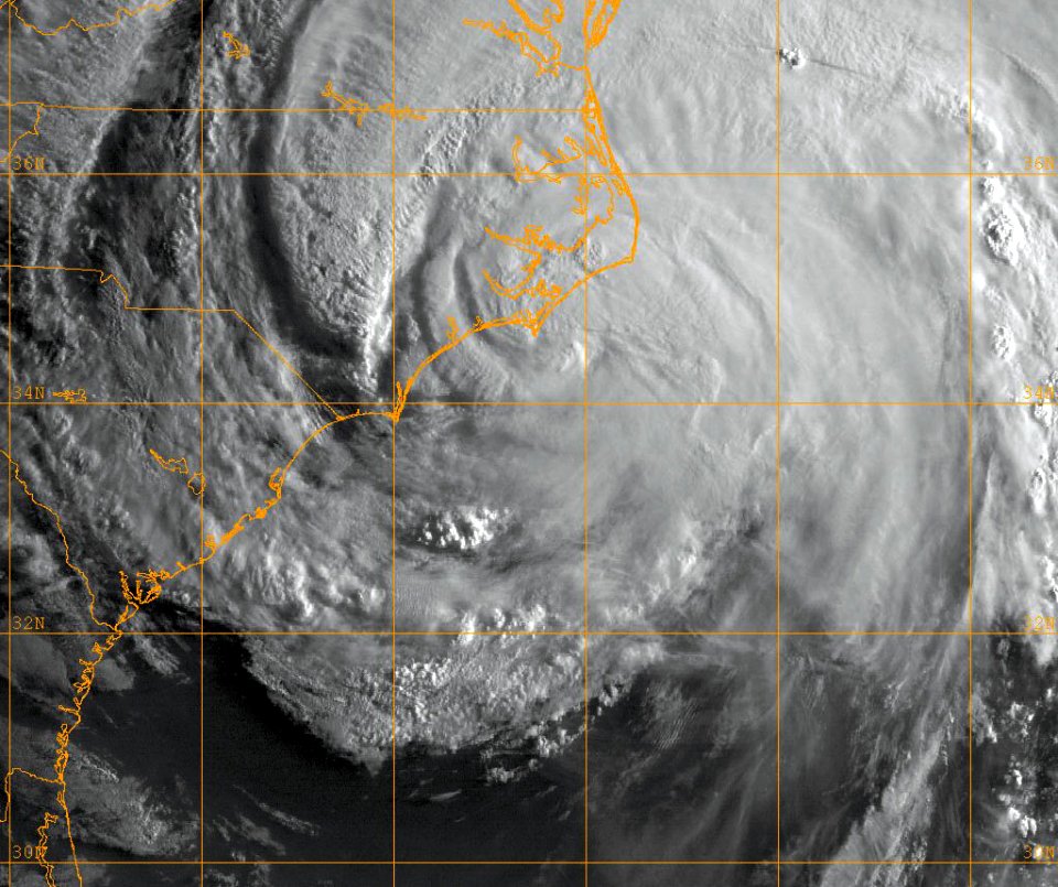
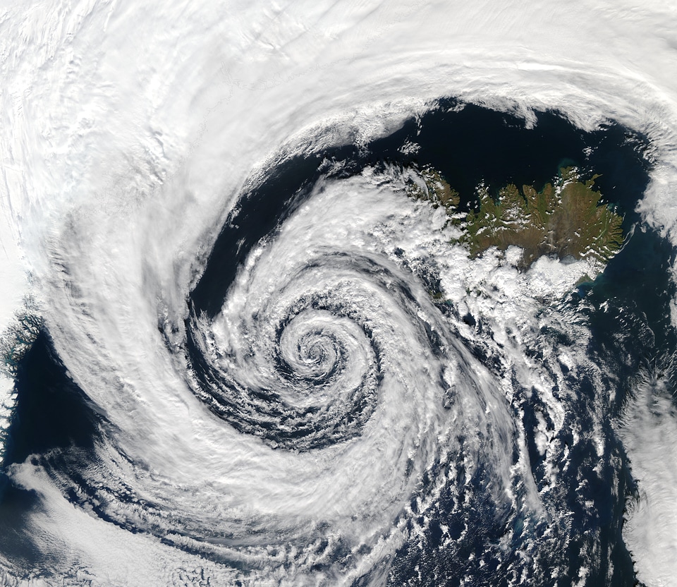
satellit
wolken
regen
architektur
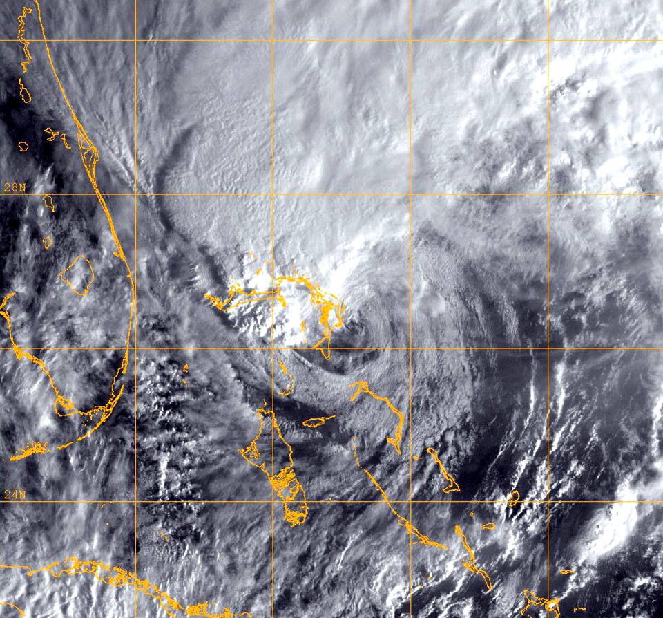
wolken
satellit
rakete
astronomie
menschen
planet
mond
diabetes mellitus
kaffee
weltraum
planet
planet
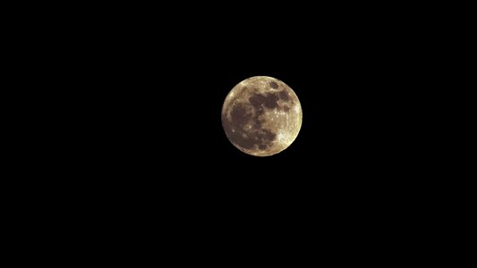
mond
wissenschaft
weltraum
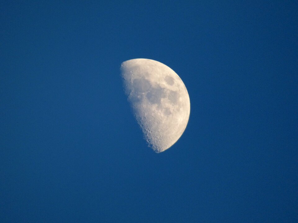
mond
halb
diabetes mellitus
zucker
astronomie
weltraum
himmel
mond
weltraum
planet
weltraum
planet
astronomie
planet
verkehrsmittel
technologie
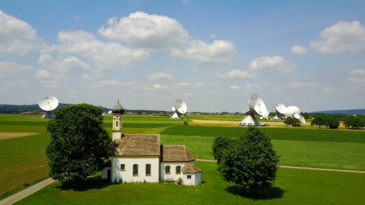
gebäude
baum
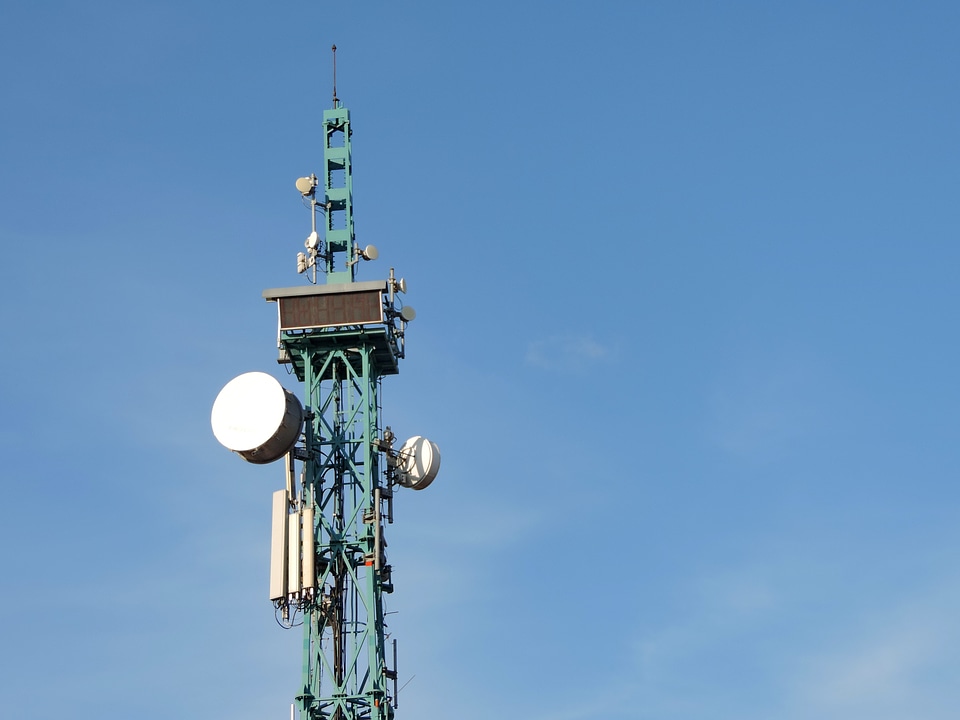
technologie
elektronik
haus
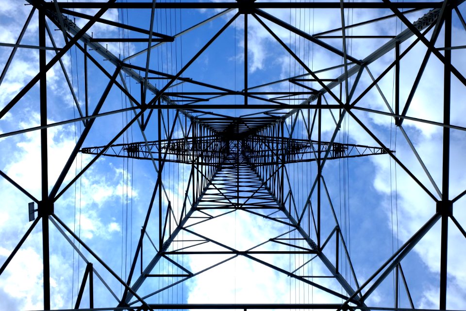
turm
schwarz
himmel
weltraum
planet
weltraum
planet
weltraum
planet
technologie
wolken
planet
mond
essen
äpfel
planet
mond
ausrüstung
radio
weltraum
satellit
straßenverkehr
weltraum
planet
astronomie
weltraum
satellit
mond
wissenschaft
weltraum
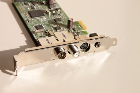
fernsehen
tv
fernsehen
tv
planet
mond
astronomie
mond
weltraum
planet
weltraum
satellit
wasserwelle
technologie
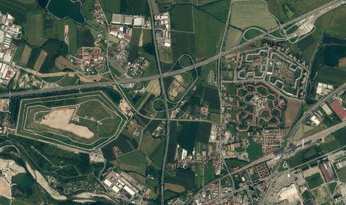
gebäude
technologie
landschaft
astronomie
weltraum
schwarz und weiß
einfarbig
501 - 600 von 1.801
Nächste Seite
/ 19