Anmelden
Alle Ressourcen
Design erstellen
Tools
1.801 Kostenlose Bilder von Satellit
nacht
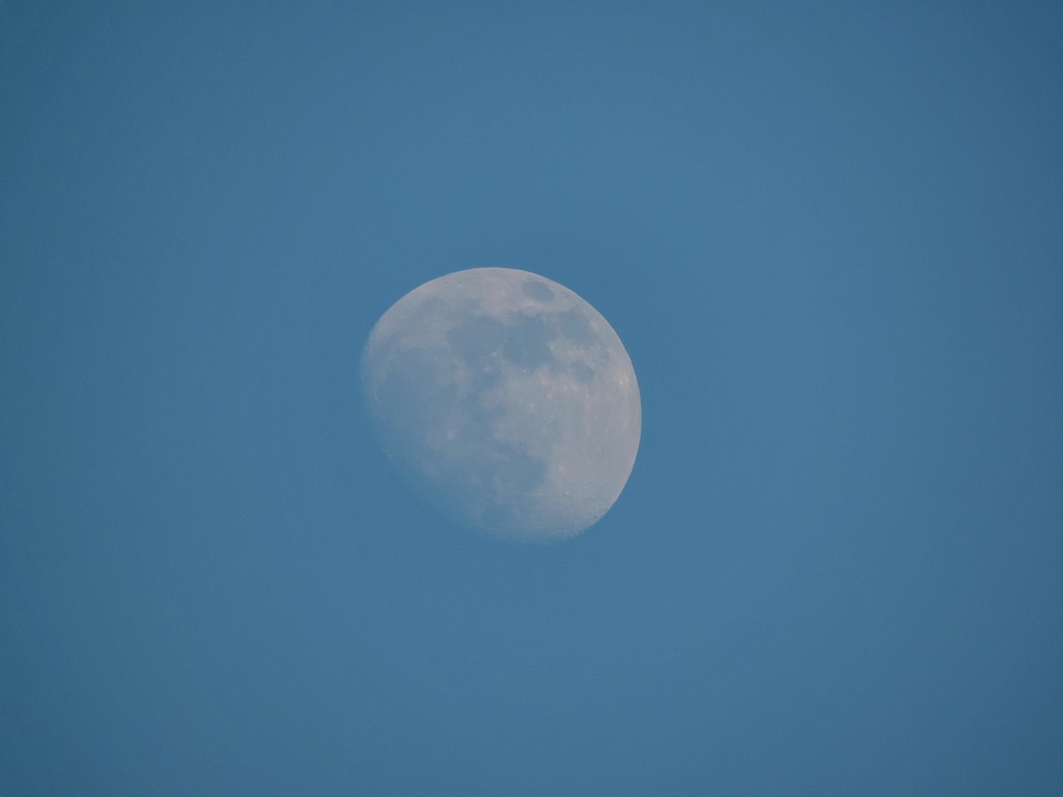
himmel
mond
weltraum
planet
astronomie
antenne
licht
dunkel
technologie
weltraum
planet
retrowelle
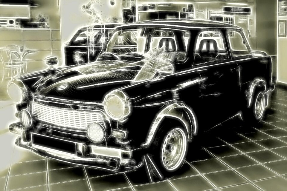
auto
wissenschaft
weltraum
technologie
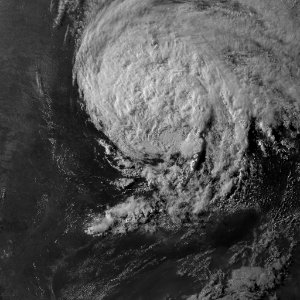
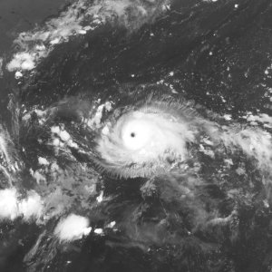
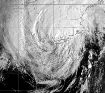
wolken
fernsehen
tv
technologie
weltraum
lufttransport
flugzeug
schwarz und weiß
einfarbig
essen
wein
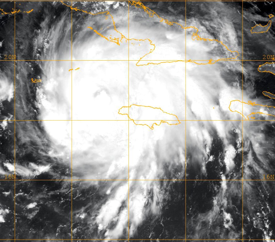
weltraum
natur
haus
dorf
planet
mond
wolken
blau
schwarz und weiß
technologie
industrie
galaxie
planet
weltraum
planet
astronomie
mond
planet
natur
architektur
haus
weltraum
natur
weltraum
planet
technologie
elektronik
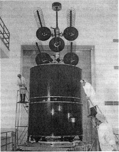
technologie
ausrüstung
japan
mond
planet
mond
gebäude
muster
astronomie
weltraum
plan
planet
erde
astronomie
planet
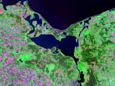
karten
meer
weltraum
planet
dach
tv
schwarz und weiß
einfarbig
wasser
winter
texturen
erde
karten
meer
weltraum
planet
weltraum
natur
tiere
schwarz und weiß
einfarbig
wolken
haus
astronomie
weltraum
dach
tv
schwarz und weiß
einfarbig
weltraum
planet
weltraum
afrika
technologie
radio
skulptur
auto
frühling
natur
dunkel
licht
san francisco
wasser
himmel
mond
weltraum
planet
weltraum
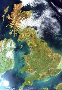
karten
england
irland
karten
atlas
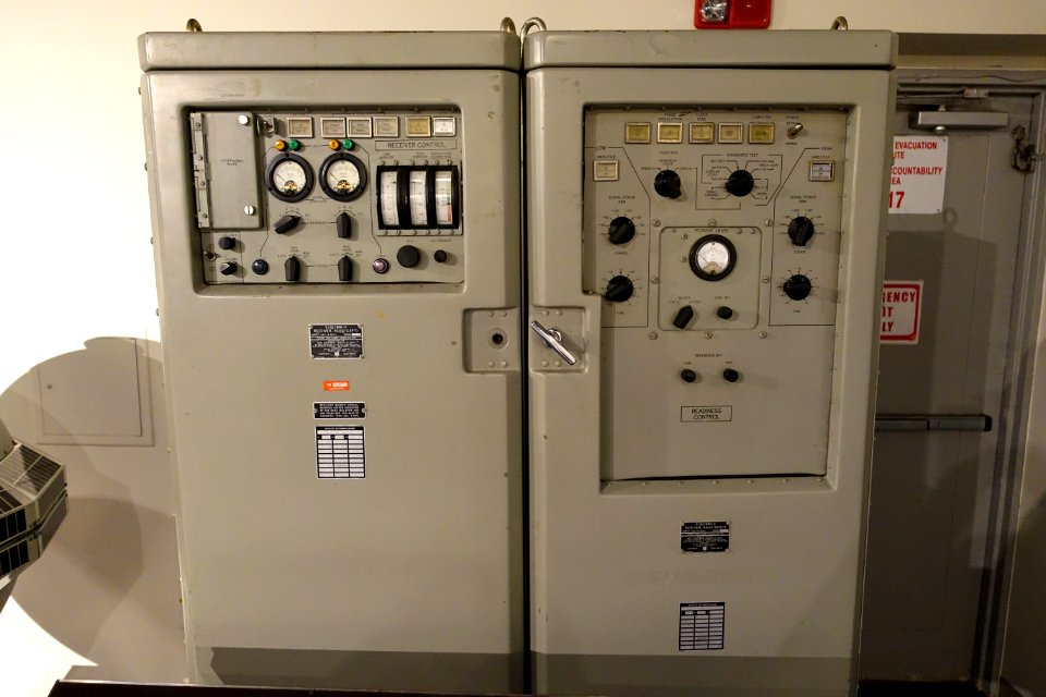
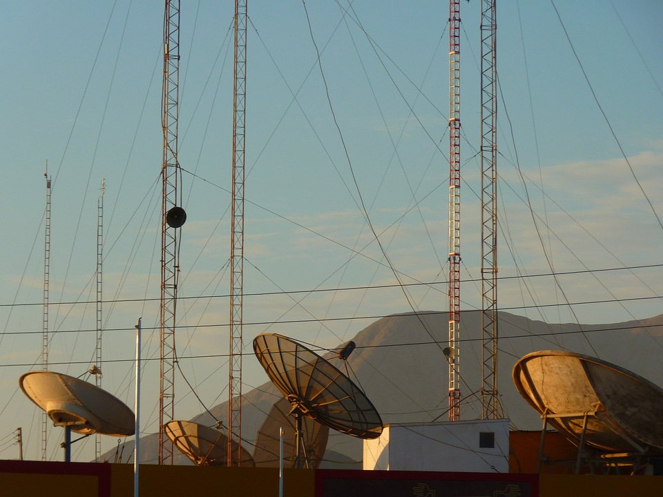
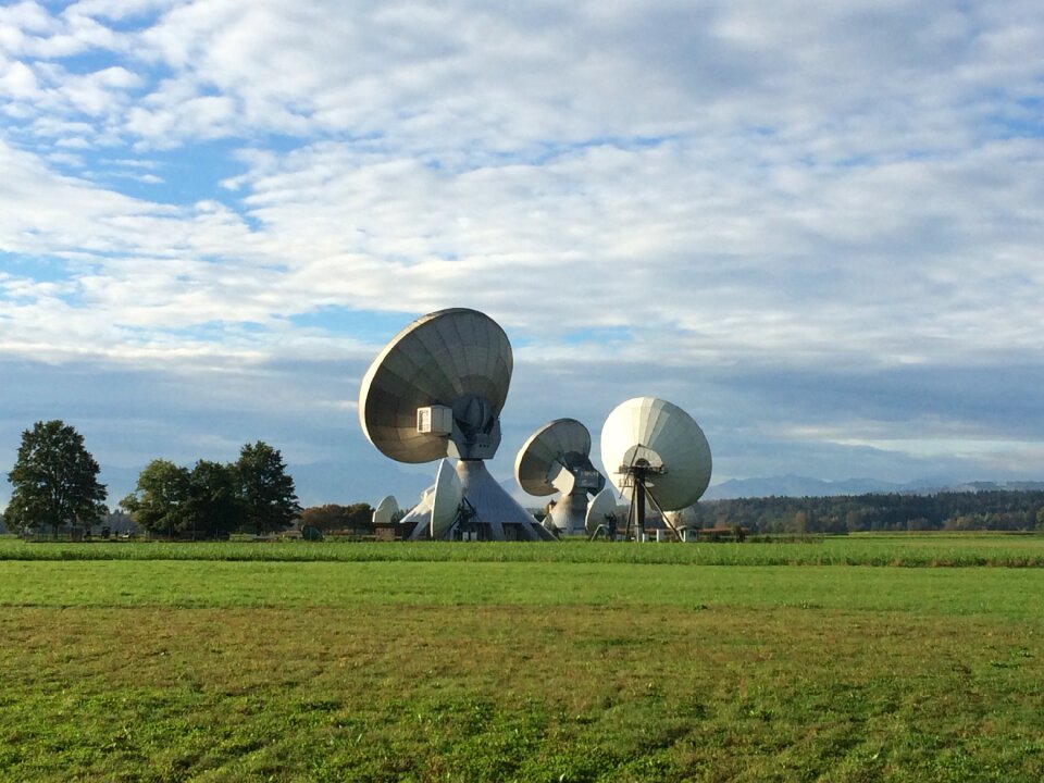
technologie
radio
teleskop
radar
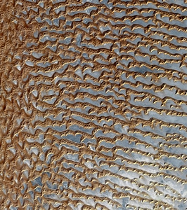
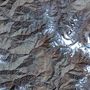
landschaft
natur
wissenschaft
technologie
fall
schwarz und weiß
einfarbig
karten
berg
natur
mond
planet
mond
601 - 700 von 1.801
Nächste Seite
/ 19