Log in
All resources
Create a design
34 Free Images of 1755 Maps
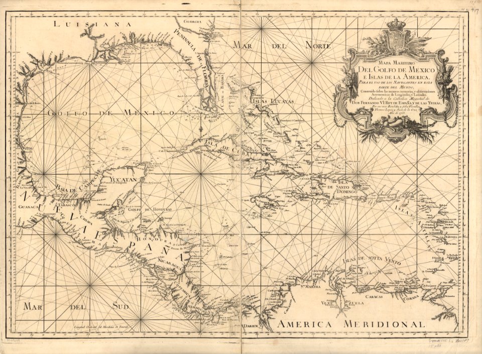
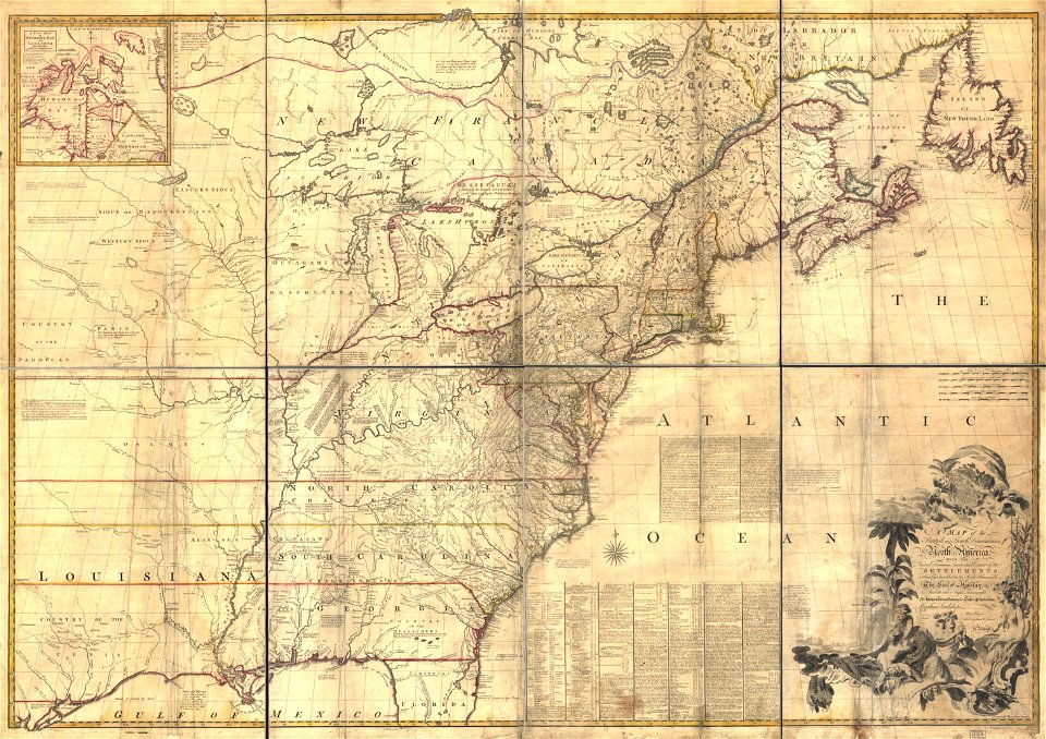
1755 mitchell map
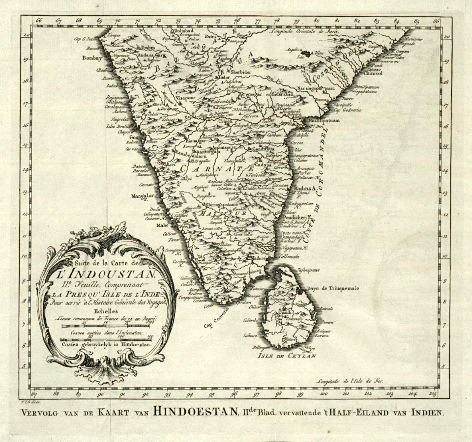
maps of the dutch east india company - india
history
historical
maps in the library of congress
old maps of north america
old maps of canada from the norman b. leventhal map center
old maps of the united states from the norman b. leventhal map center
pages with maps
cc-zero
maps by matthäus seutter
1750 in dresden
maps in the library of congress
old maps of pennsylvania
maps in the library of congress
old maps of pennsylvania
charts and maps of the royal museums greenwich
1755 maps
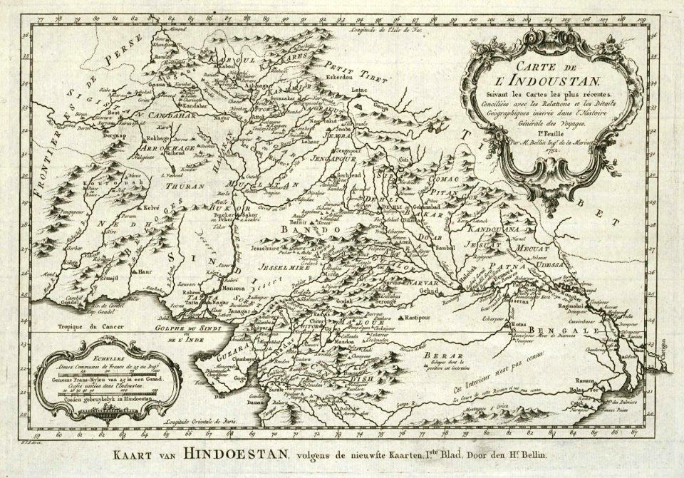
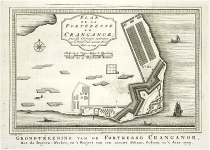
maps of the dutch east india company - india
1755
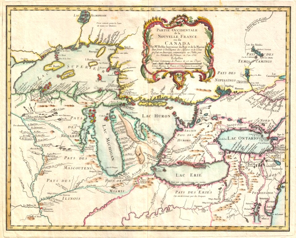
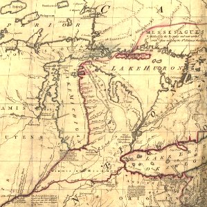
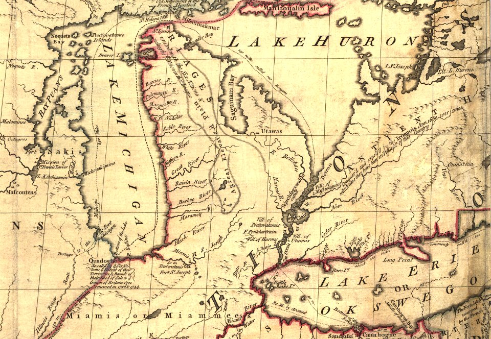
iroquois
ontario
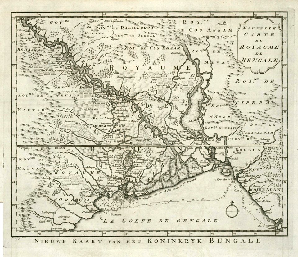
dutch bengal
1755
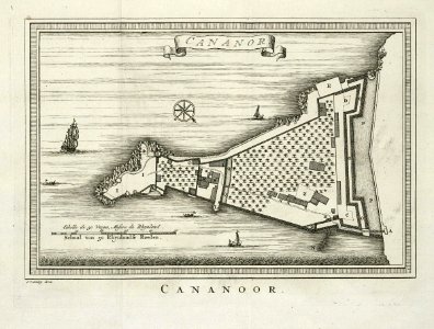
maps of the dutch east india company - india
1755
georg balthasar probst (1732-1801)
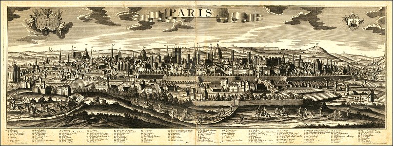
historical views of paris
maps of the dutch east india company - india
1755
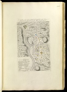
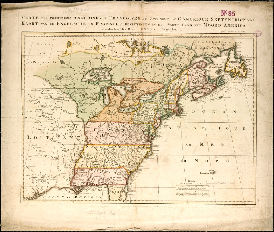
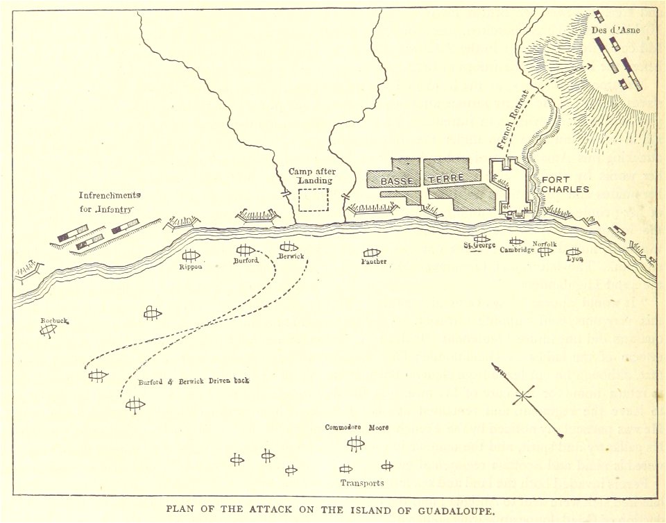
maps of the french and indian war
1786 maps
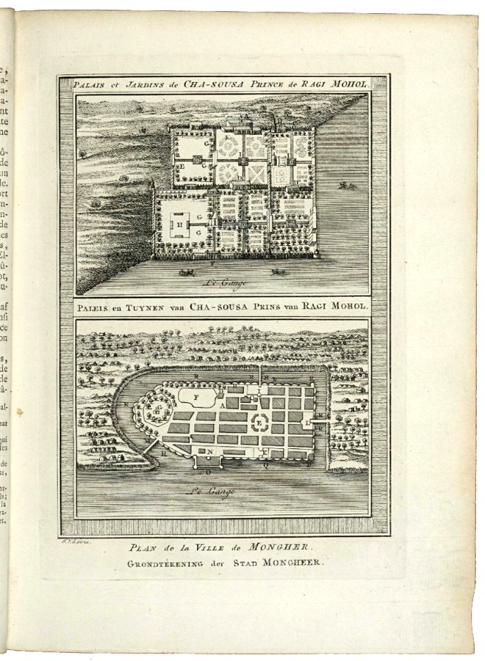
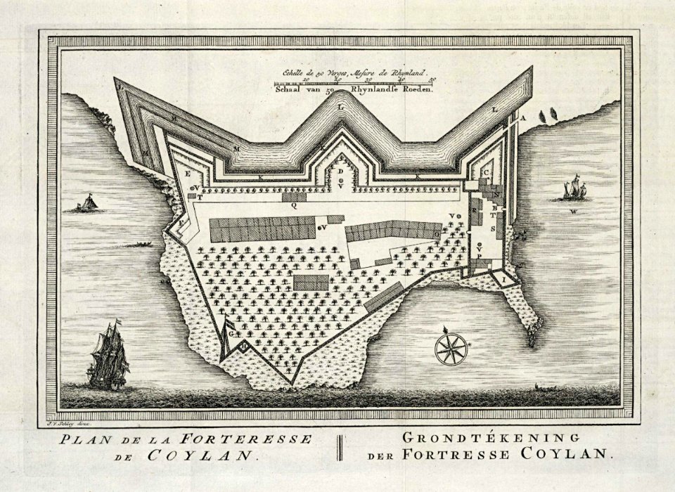
maps of the dutch east india company - india
1755
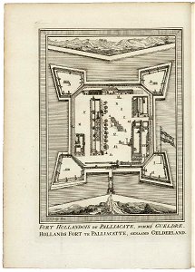
maps of the dutch east india company - india
1755
maps of the dutch east india company - india
historical images of st. angelo fort
maps of the french and indian war
1768 maps
maps of the dutch east india company - india
1755
old maps of north america
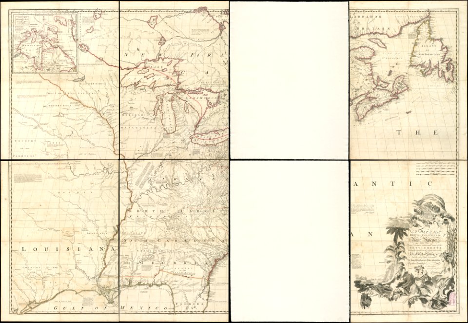
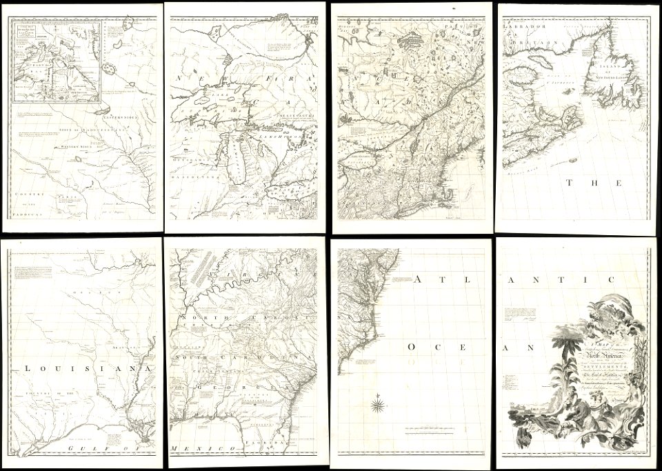
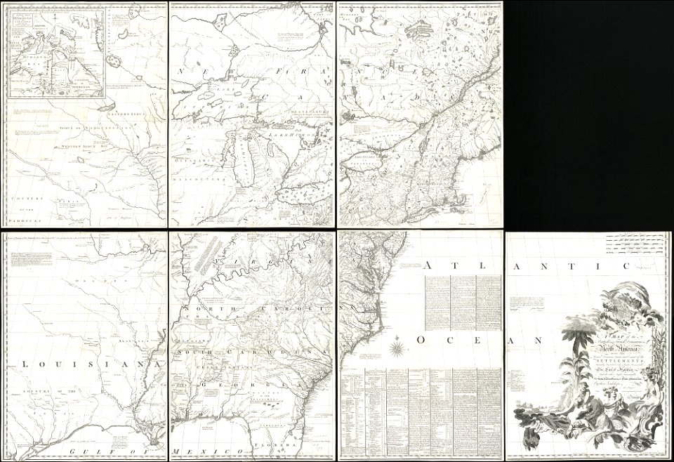
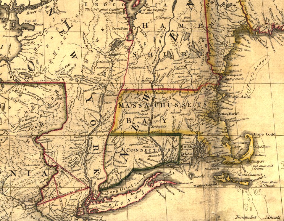
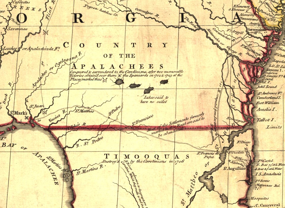
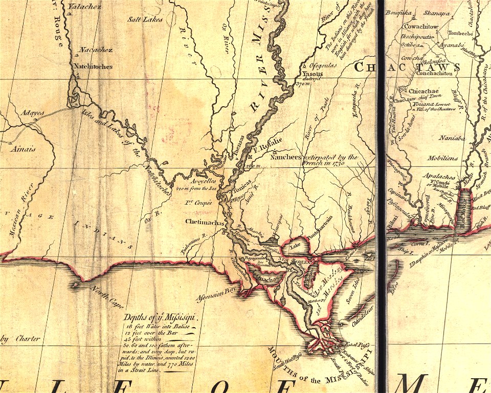
1755 mitchell map
old maps of north america
1755 mitchell map
old maps of north america
1755 mitchell map
old maps of north america from the norman b. leventhal map center
1755 maps of the united states
lake george, new york
1768 maps
self-published work
houlle
self-published work
pages with maps
1758
1711
1758
1753
self-published work
pages with maps
historical
history
historical
history
historical
history
historical
history
historical
history
history
florida
historical
history
historical
history
1 - 34 of 34
/ 1