Log in
All resources
Create a design
16 Free Images of 18th Century Maps Of The Spanish Empire
maps in the library of congress
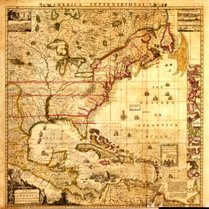
a map of the british empire in america with the french and spanish settlements adjacent thereto
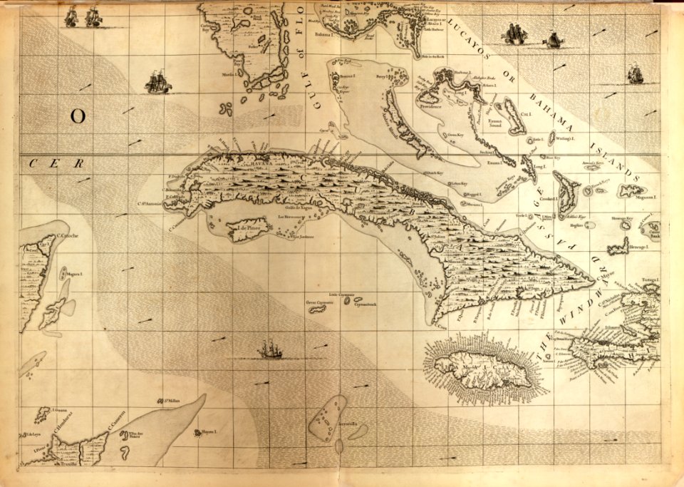
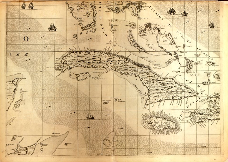
18th-century maps of cuba
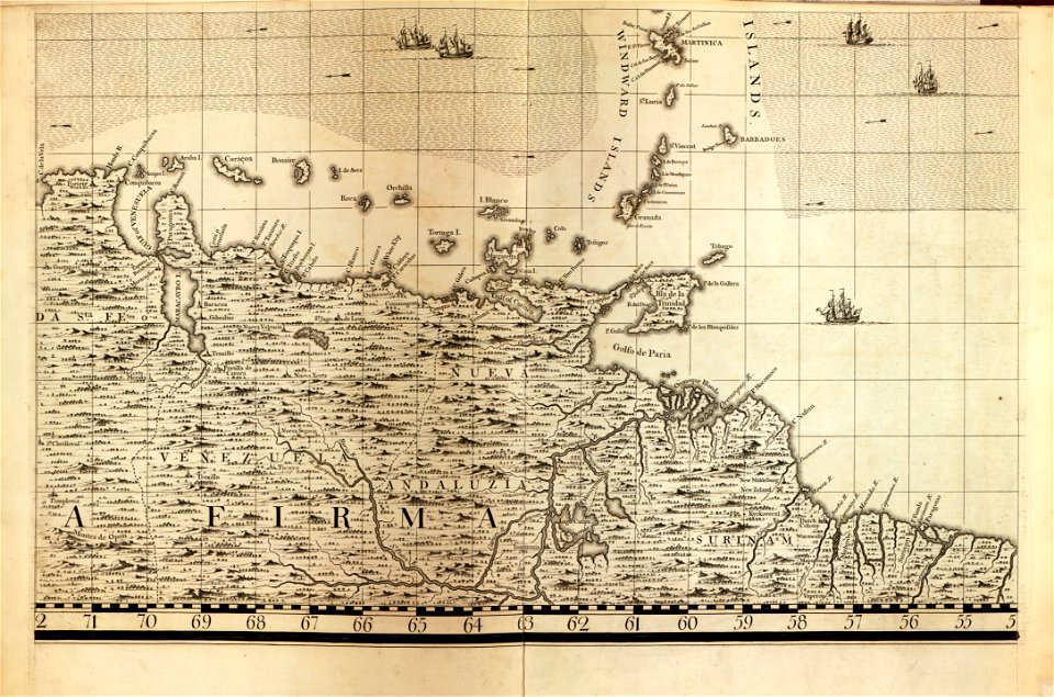
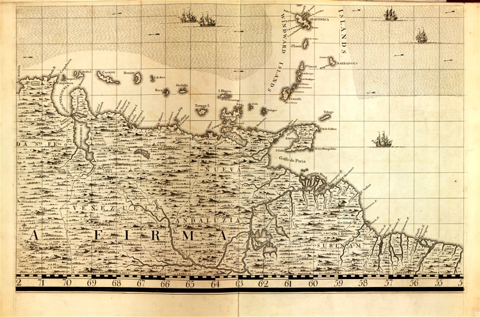
18th-century maps of the caribbean
18th-century maps of barbados
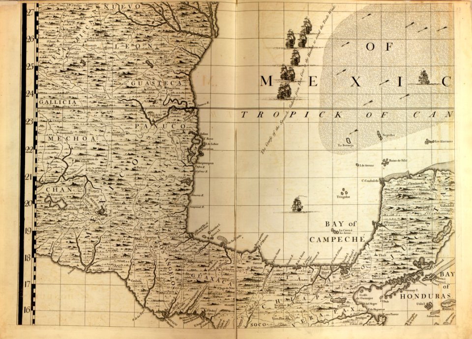
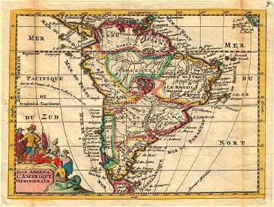
18th-century maps of mexico
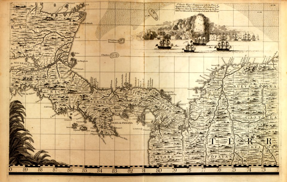
18th-century maps of central america
dien (printer)
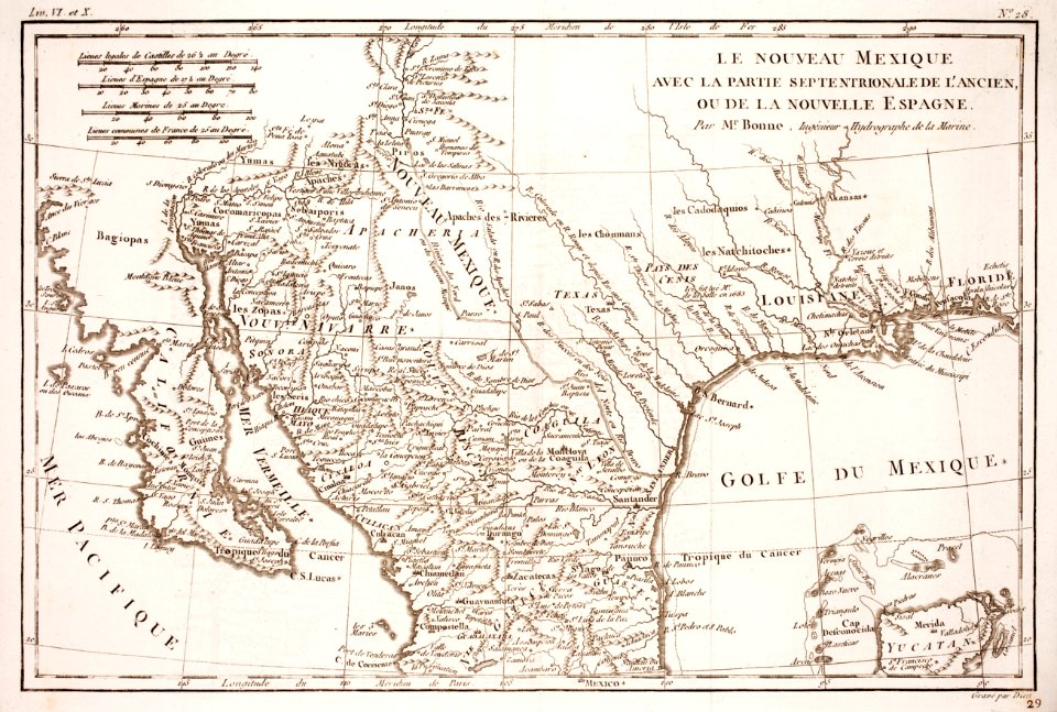
old maps of texas
prints from bonne atlas de toutes les parties at the peace palace library
maps in the library of congress
18th-century maps of cuba
maps in the library of congress
18th-century maps of cuba
maps in the library of congress
18th-century maps of barbados
a map of the british empire in america with the french and spanish settlements adjacent thereto
maps in the library of congress
a map of the british empire in america with the french and spanish settlements adjacent thereto
maps in the library of congress
a map of the british empire in america with the french and spanish settlements adjacent thereto
maps in the library of congress
a map of the british empire in america with the french and spanish settlements adjacent thereto
maps in the library of congress
maps in the library of congress
18th-century maps of barbados
a map of the british empire in america with the french and spanish settlements adjacent thereto
maps in the library of congress
a map of the british empire in america with the french and spanish settlements adjacent thereto
maps in the library of congress
18th-century maps of puerto rico
18th-century maps of cuba
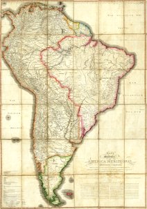
18th-century maps of the spanish empire
johannes ratelband
18th-century maps of the spanish empire
maps made in the 18th century
18th-century maps of the spanish empire
dien (printer)
spanish empire
madrid
historical
history
1 - 16 of 16
/ 1