Log in
All resources
Create a design
Tools
3,563 Free Images of Chart
bibliothèque nationale de france
a new chart of the gulf of st. laurence (1790)
history
business
historical
john outhett
concept
background
market
a voyage to abyssinia, and travels into the interior of that country, executed under the orders of the british government in the years 1809 & 1810
avatar (2009 film)
avengers: endgame
a new chart of the gulf of st. laurence (1790)
bibliothèque nationale de france
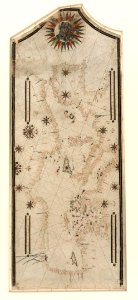
maps in the museo correr
francesco de cesanis
mapping
human
the royal navy, a history from the earliest times to present by w. laird clowes
johannes ruysch
historical
history
background
symbol
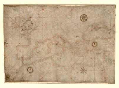
18th-century maps of the mediterranean sea
1745 maps
a new chart of the gulf of st. laurence (1790)
bibliothèque nationale de france
a new chart of the gulf of st. laurence (1790)
bibliothèque nationale de france
a new chart of the gulf of st. laurence (1790)
bibliothèque nationale de france
a new chart of the gulf of st. laurence (1790)
bibliothèque nationale de france
a new chart of the gulf of st. laurence (1790)
bibliothèque nationale de france
a new chart of the gulf of st. laurence (1790)
bibliothèque nationale de france
a new chart of the gulf of st. laurence (1790)
bibliothèque nationale de france
maps in the library of congress
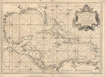
1750s maps of central america
photographs in the museum of modern art
johann palisa
sütterlin latin alphabet charts
a voyage to abyssinia, and travels into the interior of that country, executed under the orders of the british government in the years 1809 & 1810
john outhett
money and biz
checkflicr2
the works of j. w. von goethe
pd-scan (pd-scan/pd)
chicago and the midwest, newberry library
dill pickle club
naples, biblioteca nazionale manuscripts
maps of cresques family
history of saxony
mining in germany
a voyage to abyssinia, and travels into the interior of that country, executed under the orders of the british government in the years 1809 & 1810
john outhett
a voyage to abyssinia, and travels into the interior of that country, executed under the orders of the british government in the years 1809 & 1810
john outhett
voyages and travels to india, ceylon, the red sea, abyssinia, and egypt, vol. 2
henry cooper (engraver)
architectural drawings in the yale center for british art
frederick mackenzie
whiteboard
chart
background
symbol
chicago and the midwest, newberry library
dill pickle club
johnson's new chart of national emblems, 1868
neoclassicism
fresas
dog
background
symbol
maps in the library of congress
battle of cherbourg (1864)
carnot cycle
ausgangsschrift / pictures by user:der barbar
sütterlin latin alphabet charts
old maps of skagerrak
maps of oslofjorden
whiteboard
chart
a voyage to abyssinia, and travels into the interior of that country, executed under the orders of the british government in the years 1809 & 1810
john outhett
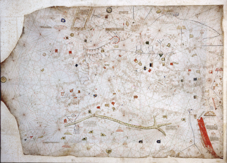
portolan charts made in the 17th century
maps by willem and johannes blaeu
old maps of the polish-lithuanian commonwealth
17th-century maps of prussia
vintage
people
historical
history
growth
arrow
19th-century maps of the mediterranean sea
the bottom of the sea (1870)
lawrence h. slaughter collection of english maps, charts, globes, books and atlases
covens en mortier
vintage
1890s
postcards of soldiers
reg manning
feldtbuch der wundartzney
bloodletting points
poor quality images of prints by albrecht dürer
german renaissance
voyages and travels to india, ceylon, the red sea, abyssinia, and egypt, vol. 3
henry cooper (engraver)
people
female
adam gottlieb schneider
1812 maps of germany
comic character
chart
eschscholzia californica (cultivated)
icons
symbol
eran laor cartographic collection
willem albert bachiene
romanticism,fairy painting
william blake
catalan atlas, 1959 reproduction
rhumbline network
prints, drawings and watercolours of the royal museums greenwich
1896 in art
charts and maps of the royal museums greenwich
1693 maps
military
medicine
chart
test
maps in the british museum
1780s maps of france
business
school
services
human
mandalorian language
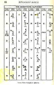
alphabet charts
historical
history
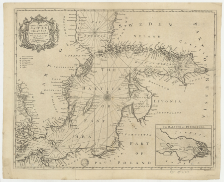
18th-century maps of the baltic sea
1770s maps of sweden
catalan atlas
maps of san francisco bay
admiralty map details
historical
history
eran laor cartographic collection
willem albert bachiene
engravings in the yale center for british art
garnet terry
historical
history
drawings by johan frederik clemens in the statens museum for kunst
pencil
drawings by johan frederik clemens in the statens museum for kunst
pencil
historical
history
historical
history
ludwig sütterlin (graphic artist)
latin alphabet charts
artist
green
circle
chart
background
icons
drawings by johan frederik clemens in the statens museum for kunst
pencil
le neptune francois
charles pène 8th
grautoff - nicolas poussin
classicism
catalan atlas
munsell color system
a voyage to abyssinia, and travels into the interior of that country, executed under the orders of the british government in the years 1809 & 1810
john outhett
18th-century maps of the atlantic ocean
maps by emanuel bowen
😃 emoji
office
background
icons
naval flags of the batavian republic
flag charts of the netherlands
19th-century maps of the isle of wight
william price
illuminated manuscripts in the museo correr
pietro vesconte
voyages and travels to india, ceylon, the red sea, abyssinia, and egypt, vol. 2
henry cooper (engraver)
prints, drawings and watercolours of the royal museums greenwich
fred s. cozzens
portolan charts by willem and johannes blaeu
old maps of holland
1801 - 1900 of 3,563
Next page
/ 36


![A new chart of the isle of Wight [Bognor Regis - Durlston head], William Price, 1800](https://cdn.creazilla.com/illustrations/10000679901/a-new-chart-of-the-isle-of-wight-bognor-regis-durlston-head-william-price-1800-sm.webp)


