Log in
All resources
Create a design
Tools
19,071 Free Images of Made
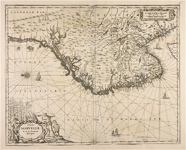
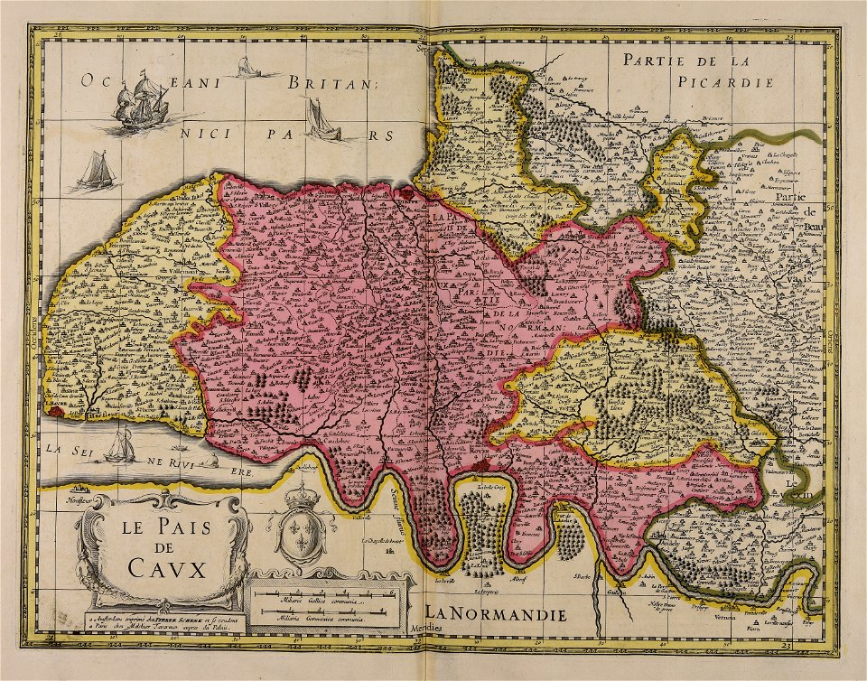
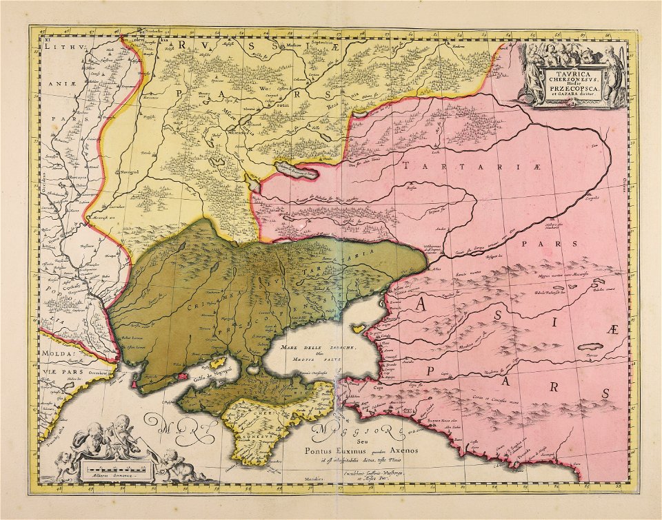
maps made in the 17th century
cc-zero
food
atlantis magni tomus quartus (biblioteca comunale di trento)
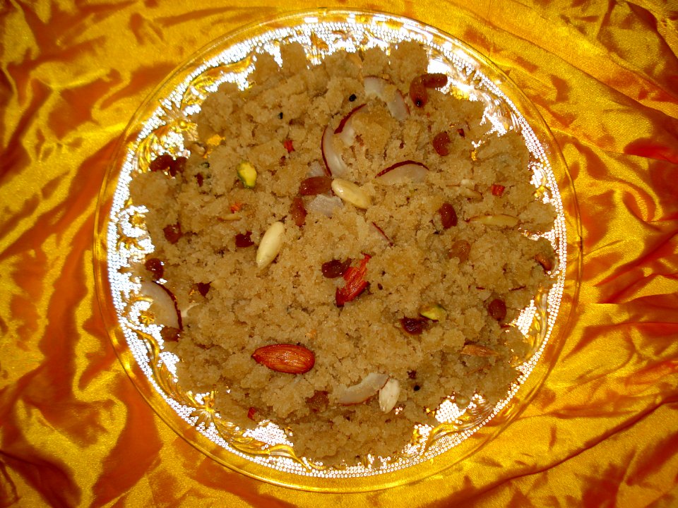
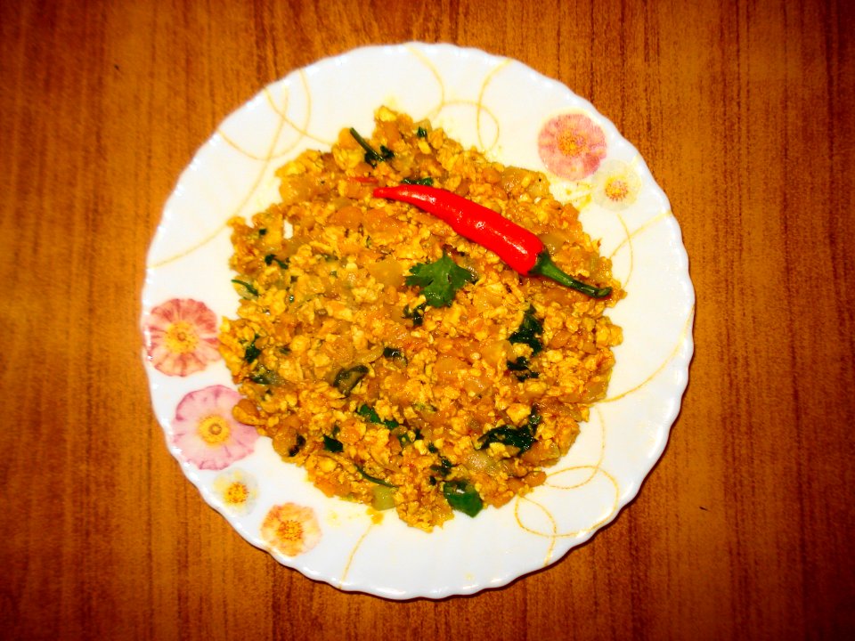
cuisine of punjab, india, made by user miansari66
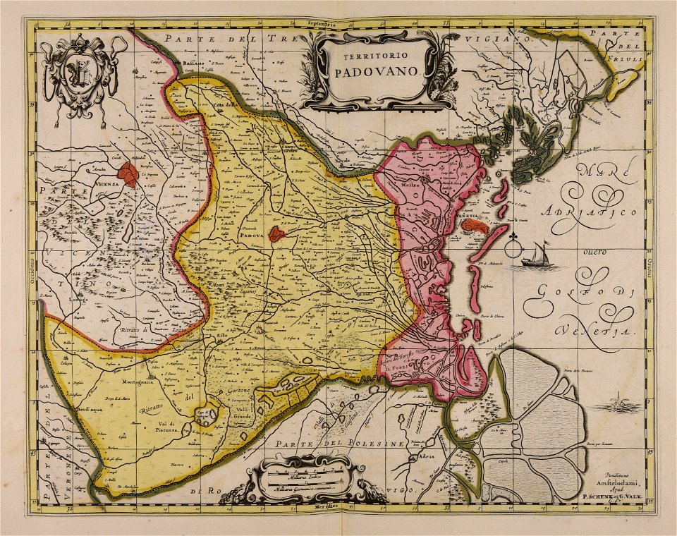
gerard valck
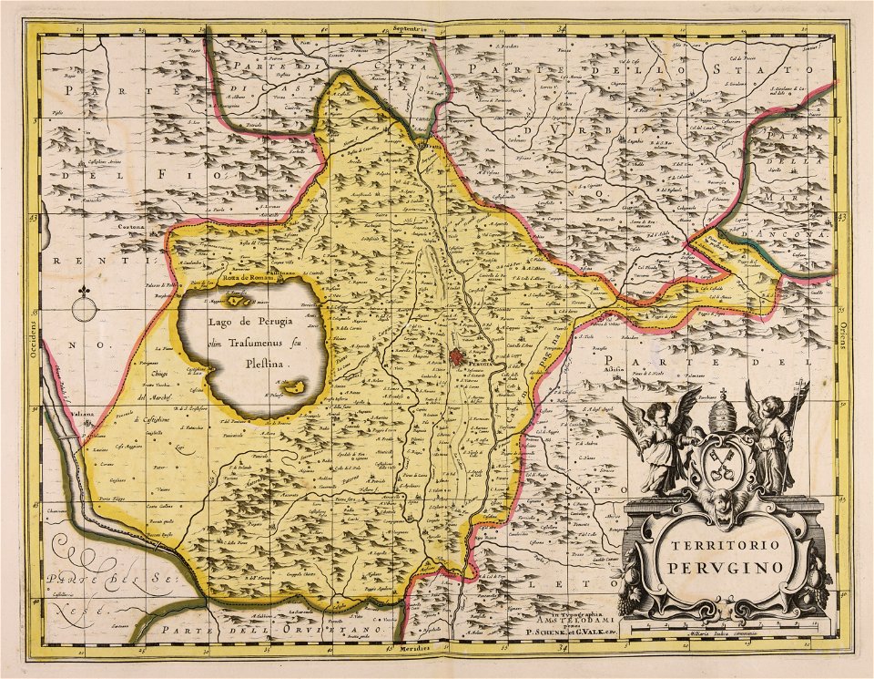
maps by pieter schenk (i)
plate
food photography
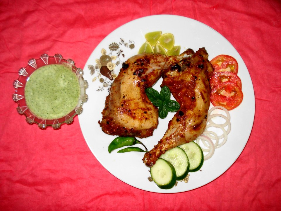
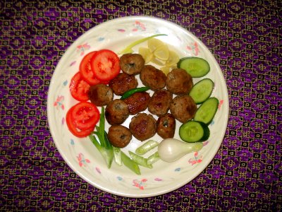
cuisine of pakistan
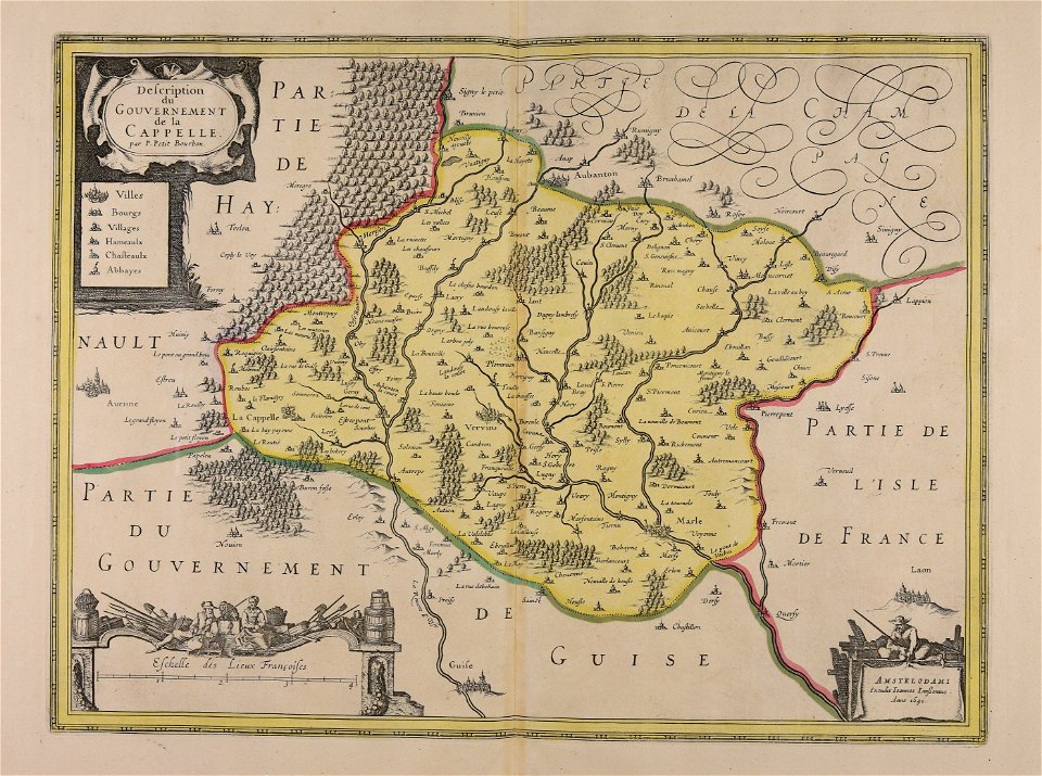
maps made in the 17th century
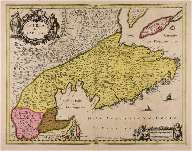
istria
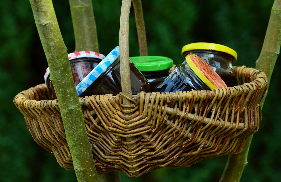
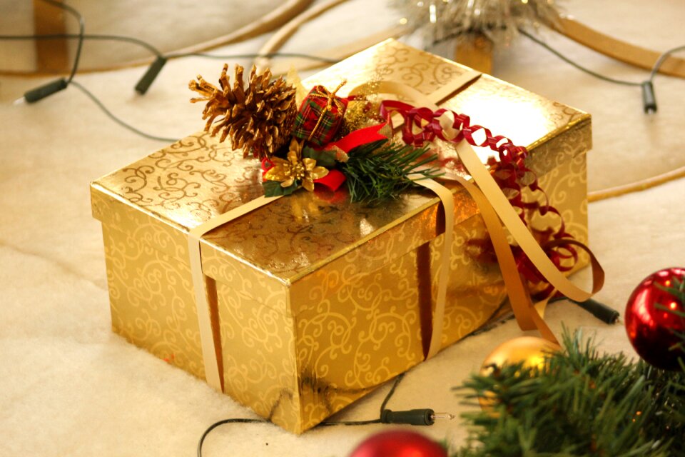
christmas
gift
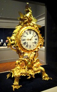
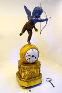
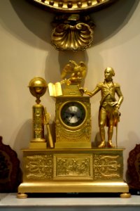
18th-century pendulum clocks
gold
self-published work
yellow
self-published work
gold
birthday
boxing
castle
gold
sweets
food
cigarette packs
boxing
plate
food
plate
food
plate
food
cuisine of punjab, india, made by user miansari66
food
self-published work
pages with maps
shopping
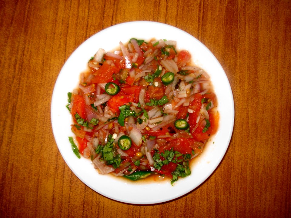
food
plate
food
plate
food
self-published work
town
plate
food
self-published work
maori culture
plate
food
self-published work
cc-zero
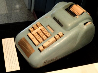
burroughs adding machines
cc-zero
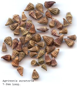
rosaceae
plants
nature
spring
close-up photographs of man-made objects
bulawa
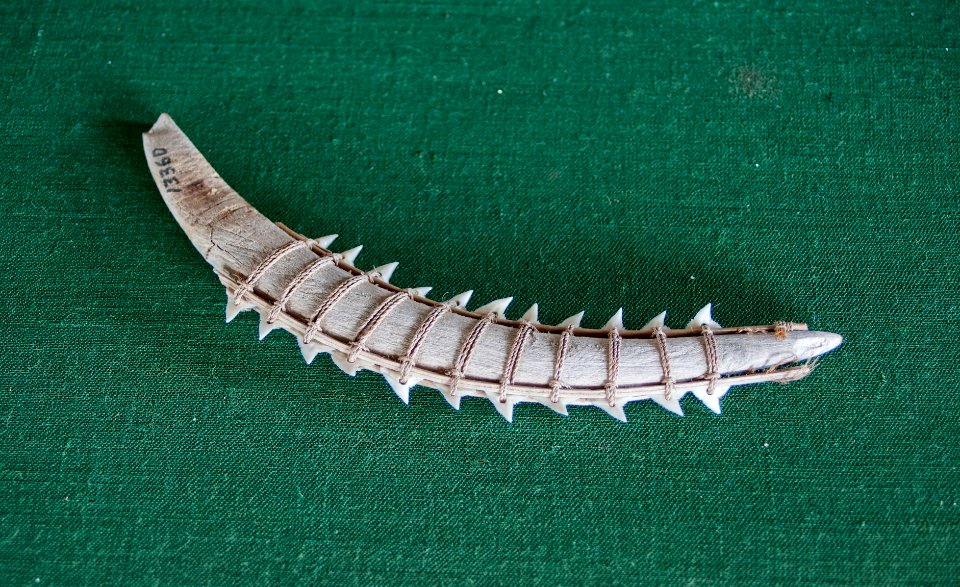
animals
shark
maps made in the 18th century
gerard valck
gerard valck
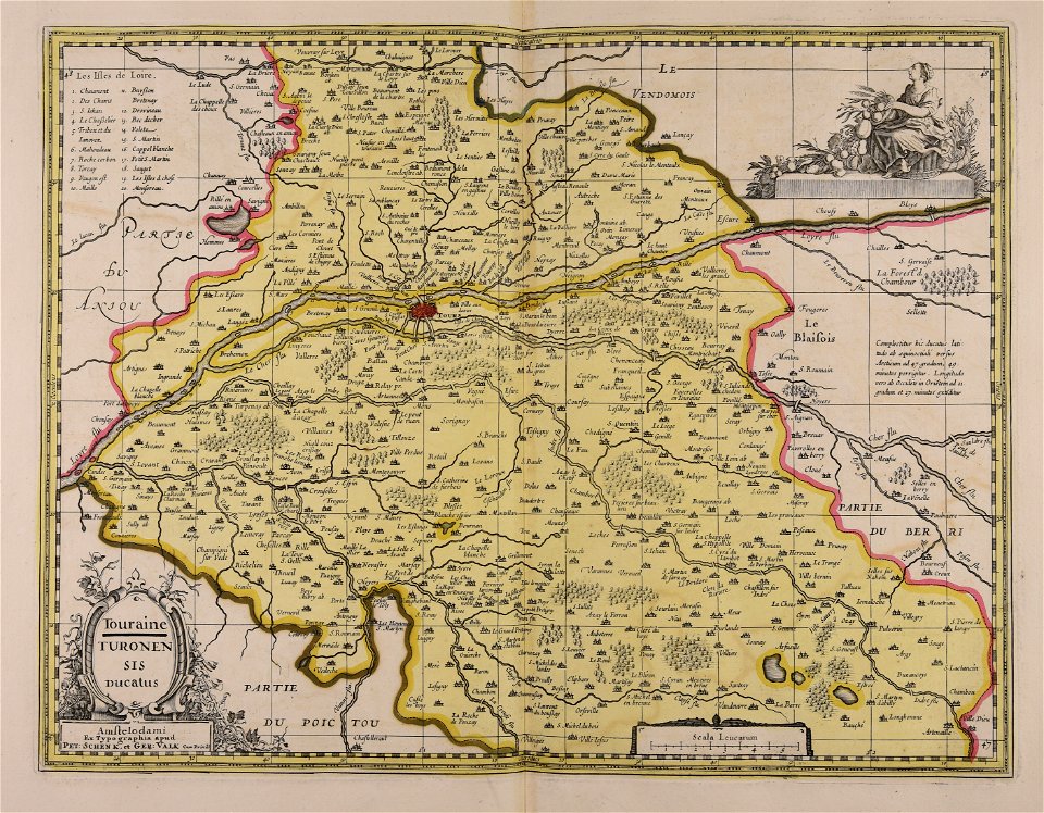
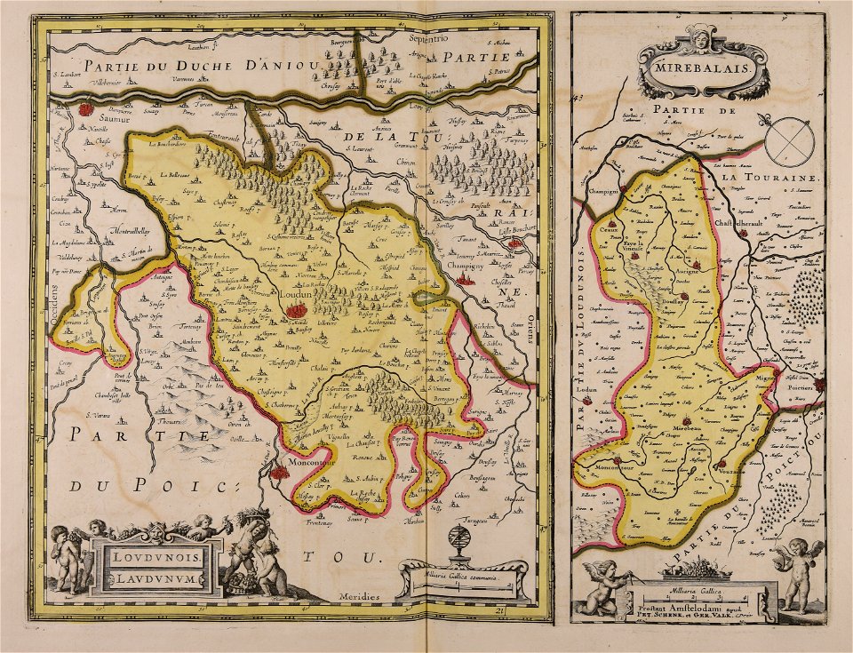
touraine
maps made in the 17th century
gerard valck
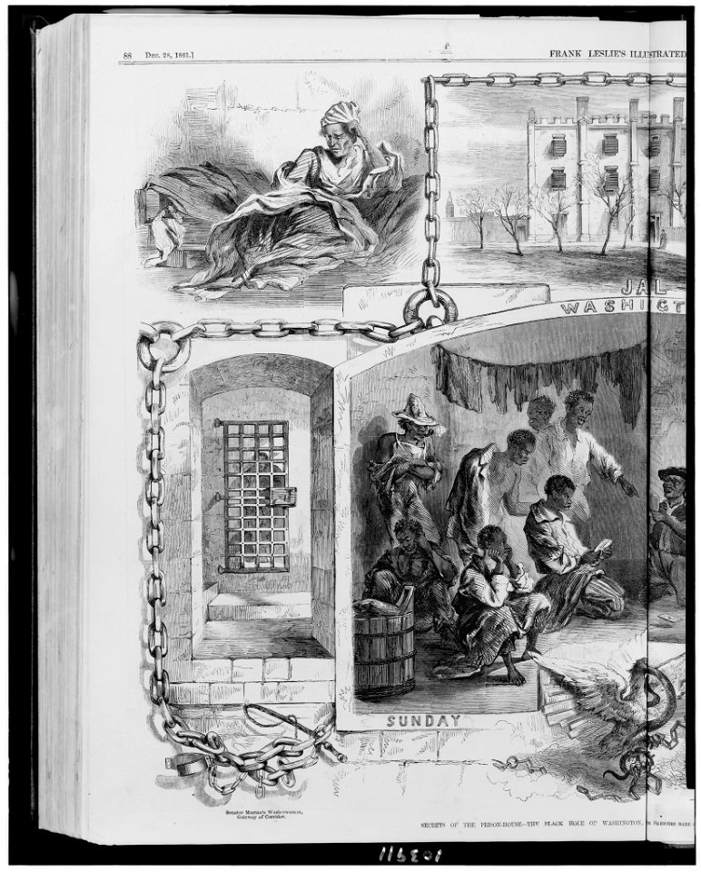
frank leslie's illustrated newspaper
1861
frank leslie's illustrated newspaper
1861
made under the direction of the secretary of the interior
report on the united states and mexican boundary survey
atlantis magni tomus primus (biblioteca comunale di trento)
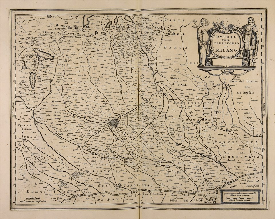
maps made in the 17th century
samuel william fores
london
maps made in the 17th century
maps by nicolaes visscher i
maps made in the 17th century
danimarca
atlantis magni tomus tertius (biblioteca comunale di trento)
maps made in the 17th century
maps made in the 17th century
maps by pieter schenk (i)
maps made in the 17th century
jan janssonius
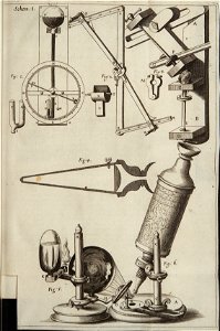
scientific illustration
scientific instruments
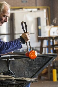
artist
job
nature
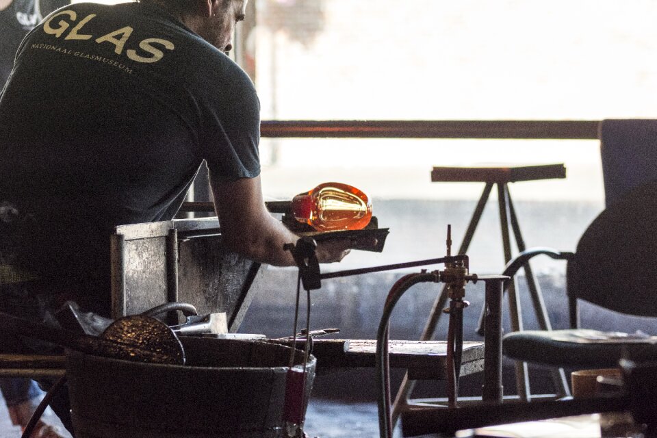
glass
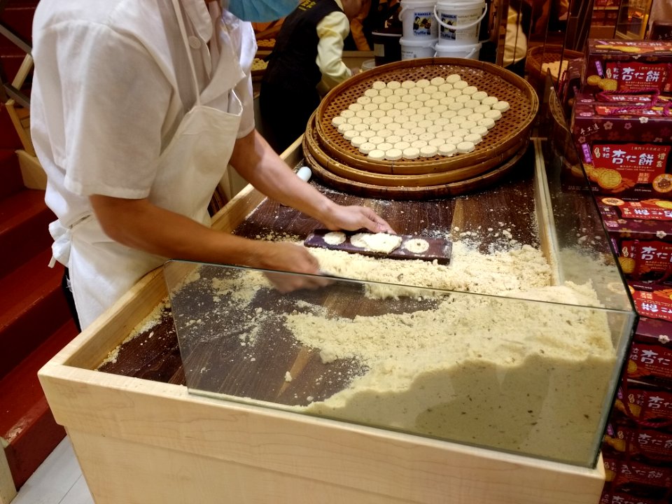
sweets
food
sweets
food
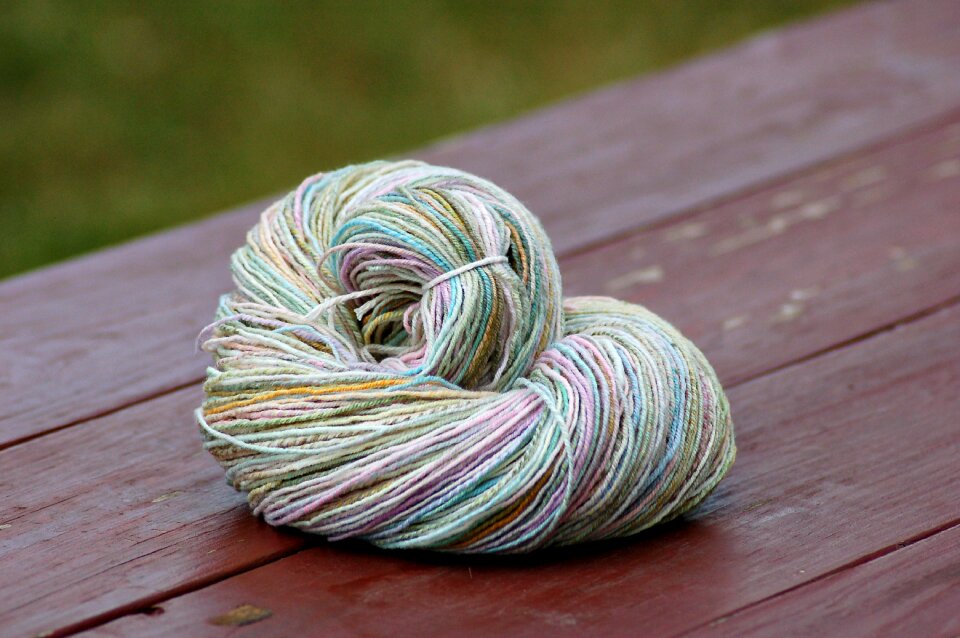
knitting
animals
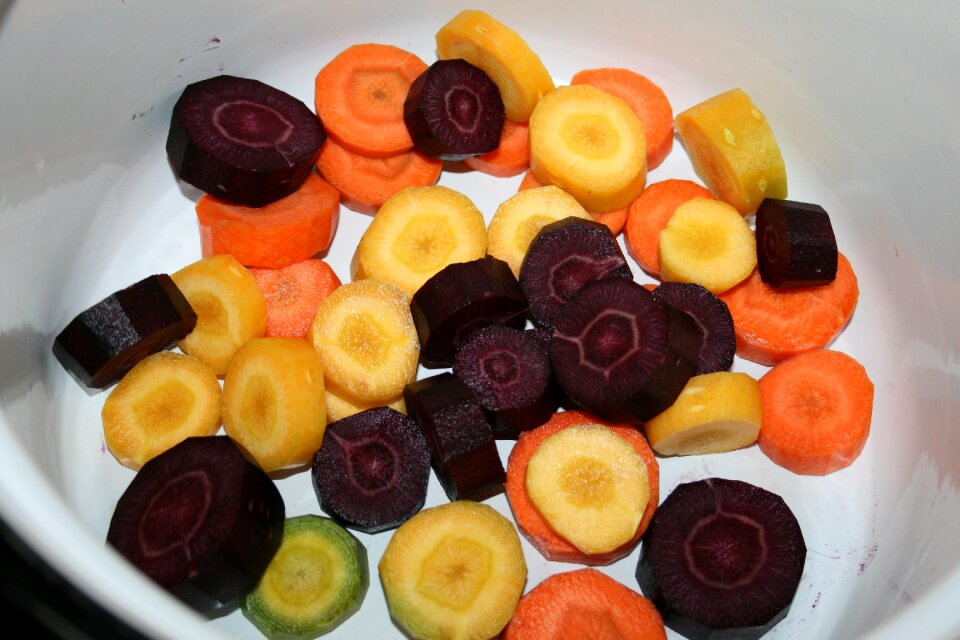
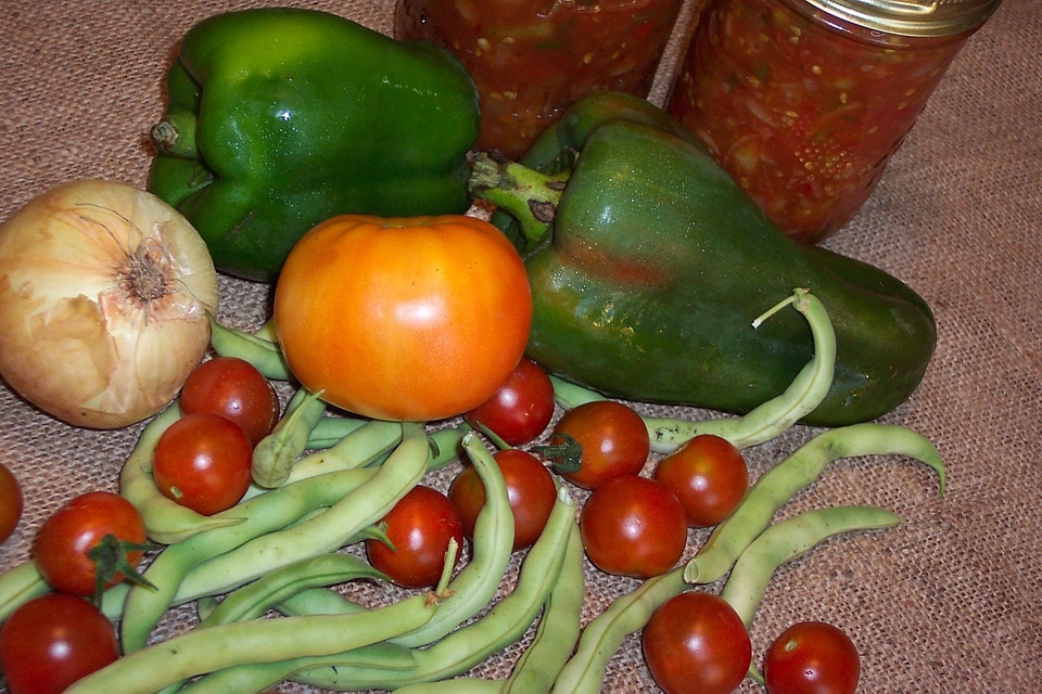
vegetables
food
nature
metal
nature
glass
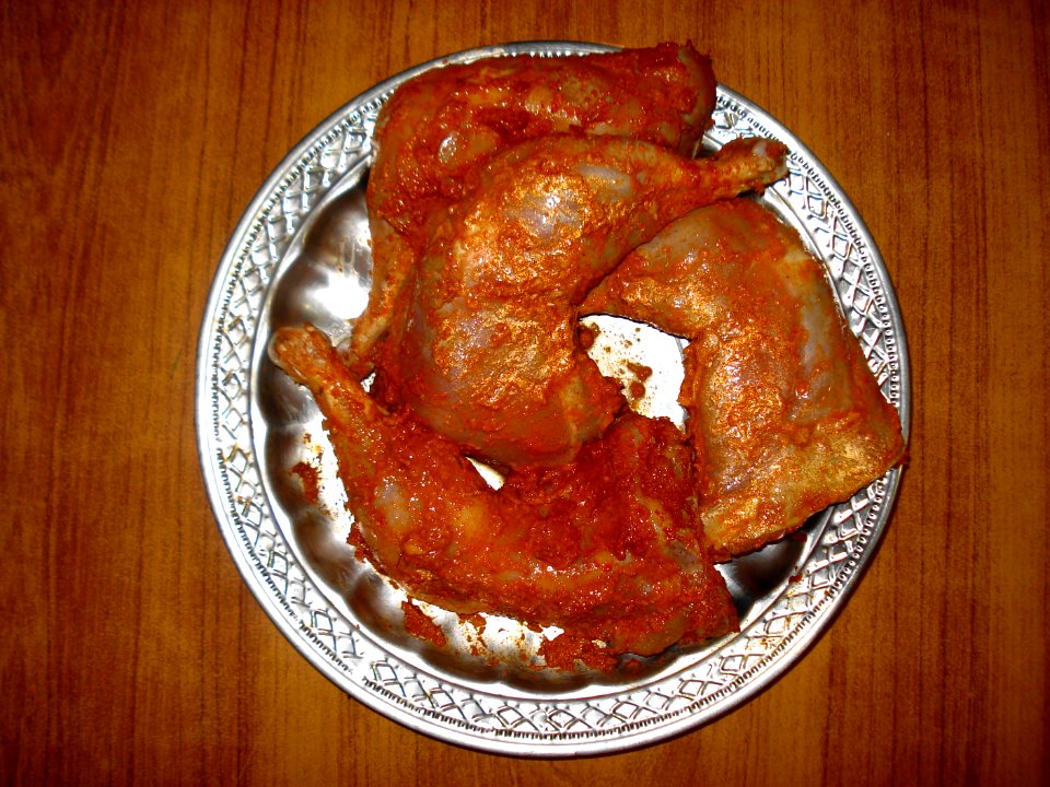
plate
food
cc-zero
food
self-published work
cc-zero
self-published work
cc-zero
self-published work
cc-zero
self-published work
cc-zero
cuisine of punjab, india, made by user miansari66
food
plate
food
cuisine of punjab, india, made by user miansari66
self-published work
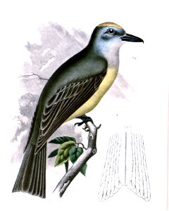
animals
bird
zingiberales
plants
plants
tree
mint-made errors
blue
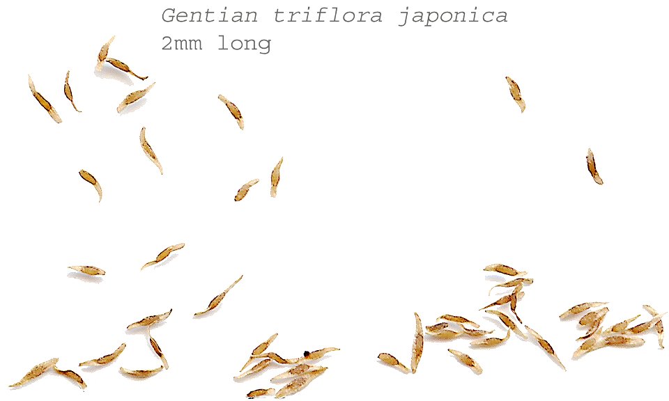
gentianaceae
plants
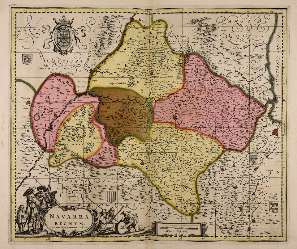
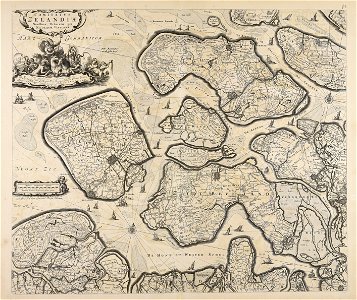
maps made in the 17th century
maps by nicolaes visscher i
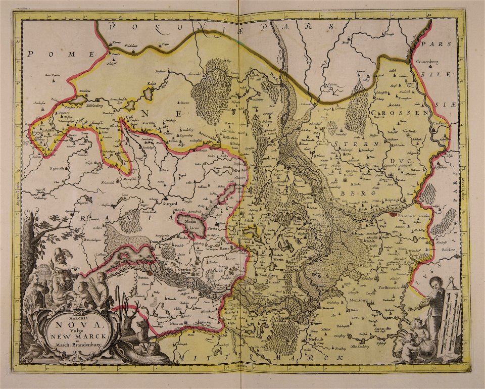
maps made in the 18th century
gerard valck
gerard valck
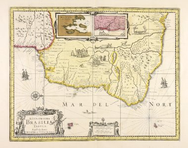
brazil
george washington in art
drawings in the philadelphia museum of art
maps made in the 17th century
jan janssonius
maps made in the 17th century
gerard valck
maps made in the 17th century
gerard valck
drawings (documentary) collection in the library of congress
atlantis magni tomus quartus (biblioteca comunale di trento)
maps made in the 18th century
maps made in the 17th century
gerard valck
maps made in the 17th century
gerard valck
maps made in the 17th century
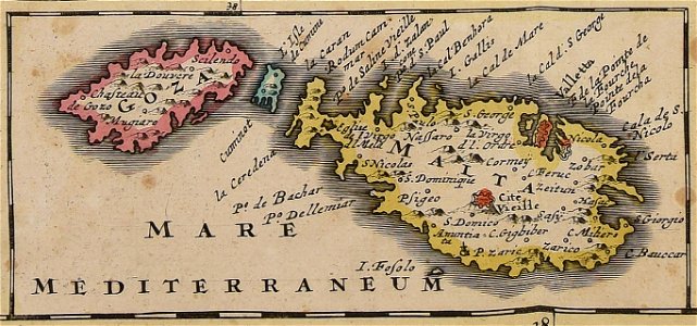
old maps of malta
maps made in the 16th century
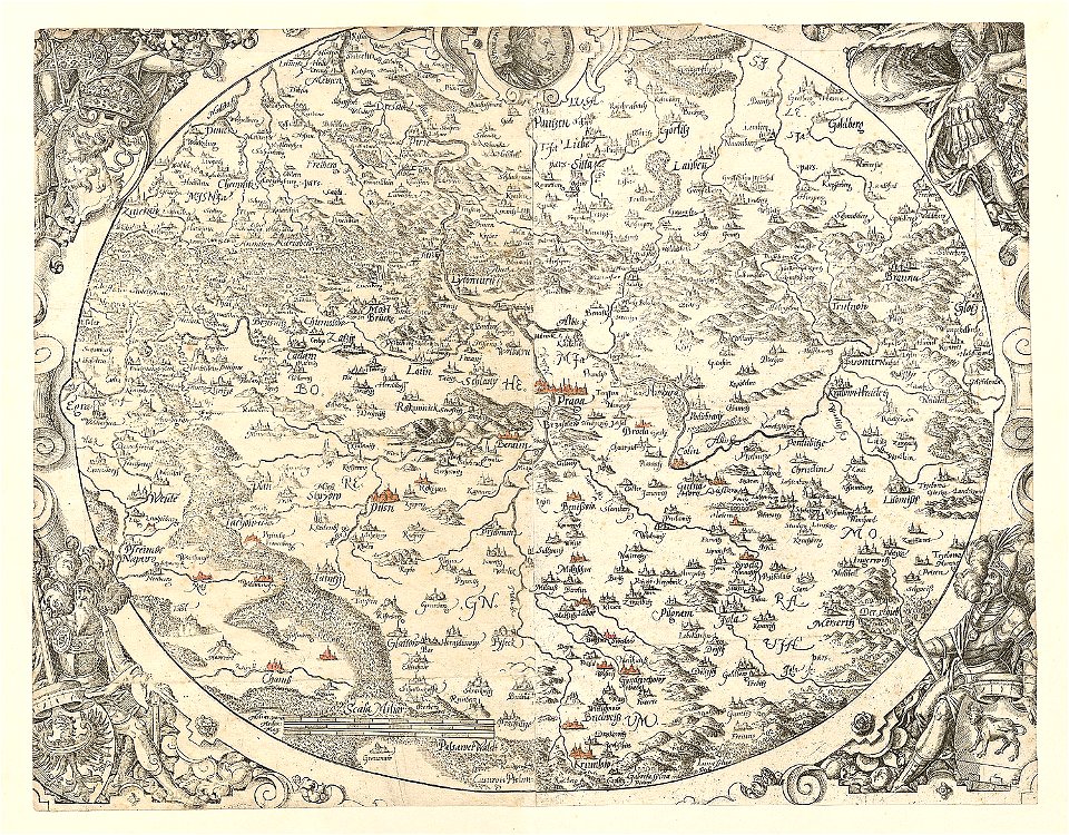
old maps of bohemia
maps made in the 17th century
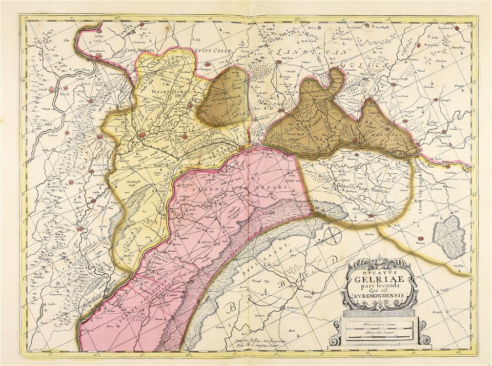
old maps of gelderland
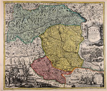
johann baptist homann
old maps of styria
holiday
party
christmas tree
holiday
building
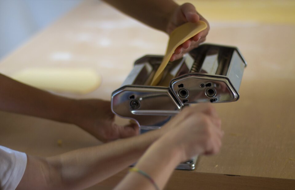
tools
atlantis magni tomus secundus (biblioteca comunale di trento)
maps made in the 17th century
drawings (documentary) collection in the library of congress
old maps of peru
gerard valck
maps made in the 17th century
maps by nicolaes visscher i
maps made in the 17th century
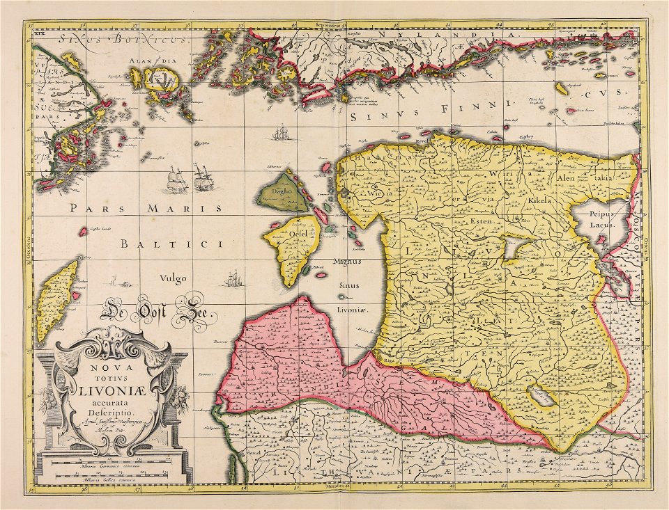
livonia
maps made in the 17th century
gerard valck
maps made in the 17th century
gerard valck
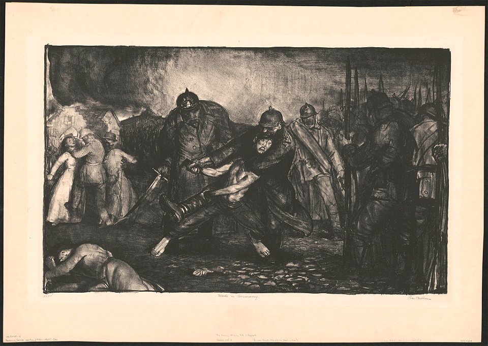
lithographs by george wesley bellows
1918 lithographs
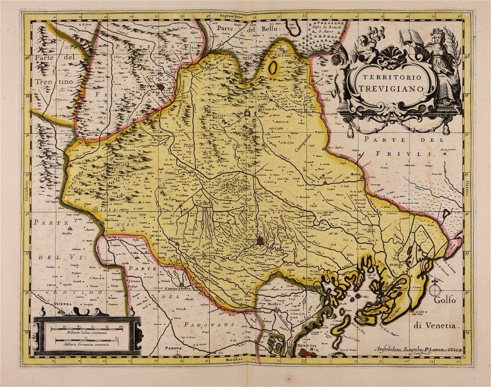
maps made in the 17th century
finlandia
atlantis magni tomus primus (biblioteca comunale di trento)
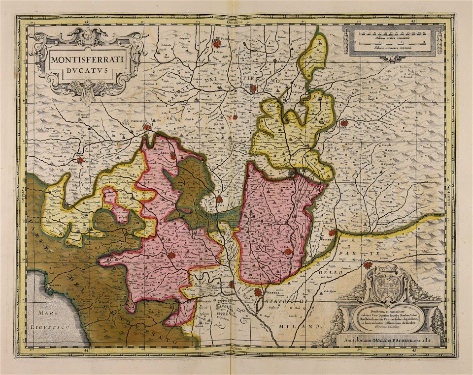
maps made in the 17th century
atlantis magni tomus quintus (biblioteca comunale di trento)
maps made in the 18th century
maps made in the 17th century
jan janssonius
maps made in the 17th century
jan janssonius
maps made in the 17th century
nicolaes visscher ii
artist
job
vegetables
food
christmas
berries
kitchen
food
1701 - 1800 of 19,071
Next page
/ 191