Log in
All resources
Create a design
Tools
19,071 Free Images of Made
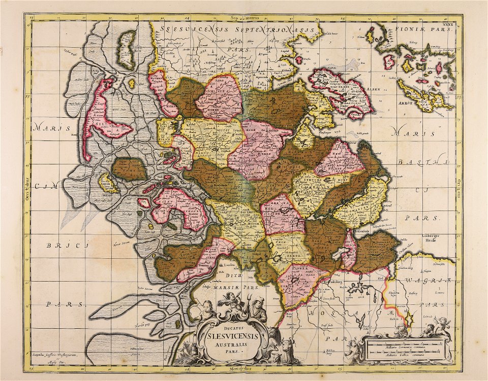
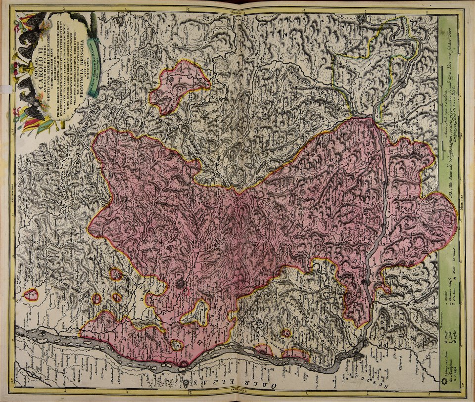
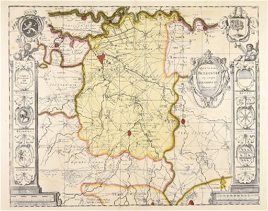
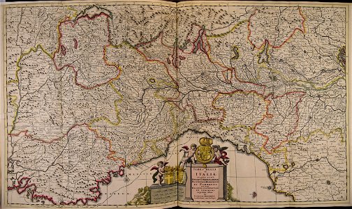
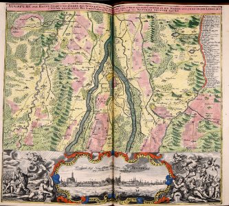
maps made in the 17th century
cc-zero
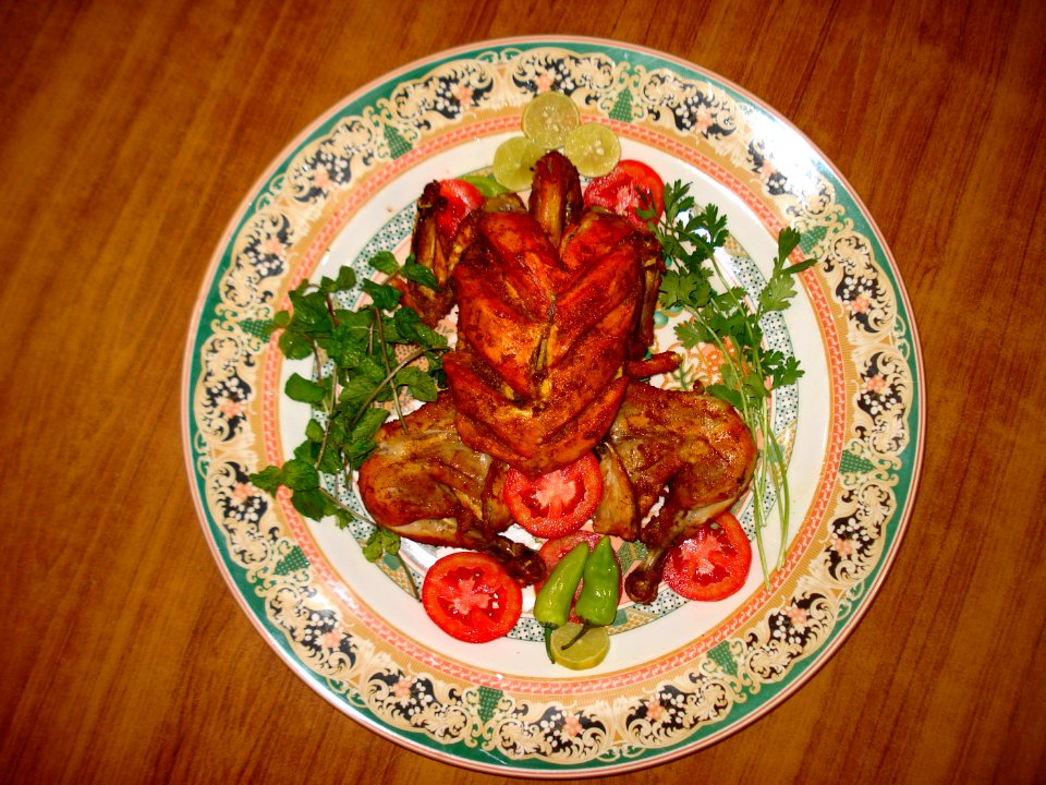
food
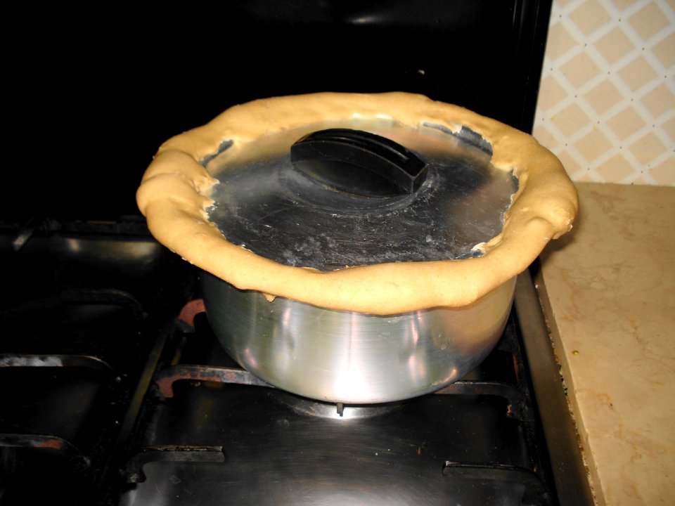
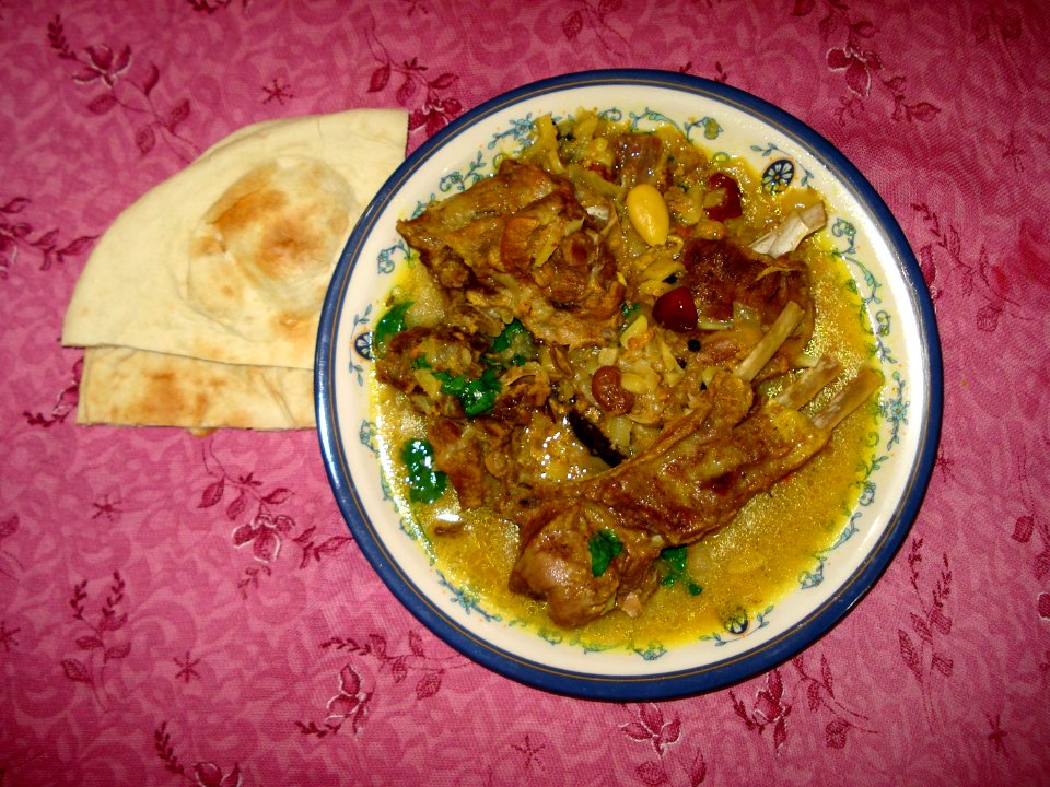
cuisine of punjab, india, made by user miansari66
cuisine of pakistan
moses pitt
atlantis magni tomus tertius (biblioteca comunale di trento)
atlantis magni tomus primus (biblioteca comunale di trento)
plate
atlantis magni tomus secundus (biblioteca comunale di trento)
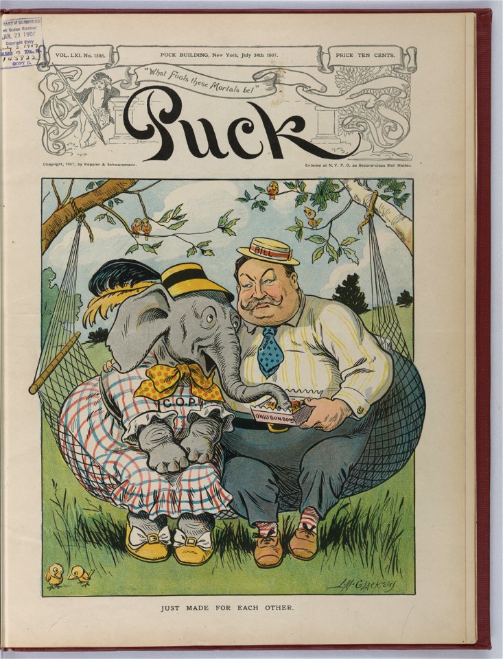
puck
1907
puck
1907
atlantis magni tomus primus (biblioteca comunale di trento)
maps made in the 17th century
vehicle
city
baking
gift
landscape
water
berries
food
cuisine of punjab, india, made by user miansari66
self-published work
self-published work
cc-zero
food photography
food
plate
food
plate
food
self-published work
cc-zero
with trademark
letter
cuisine of punjab, india, made by user miansari66
food
vehicle
car
vehicle
car
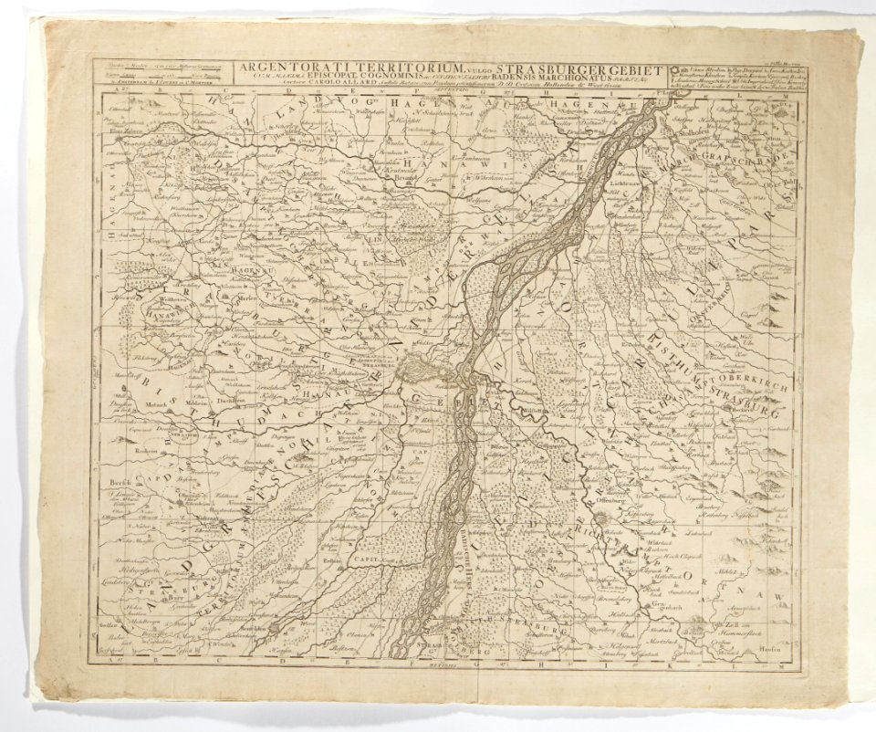
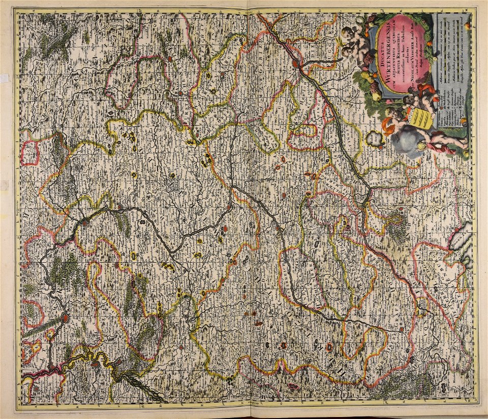
maps made in the 18th century
maps in skokloster castle
cannabaceae
plants
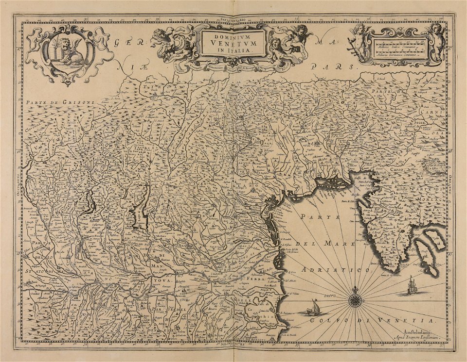
maps made in the 17th century
jan janssonius
atlantis magni tomus primus (biblioteca comunale di trento)
maps made in the 17th century
maps made in the 17th century
jan janssonius
maps made in the 17th century
frederick de wit
maps made in the 18th century
gerard valck
library of congress artist posters collection
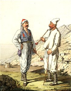
christian gottfried heinrich geißler
chorgun
history of silk in lyon
brocade
biology
1665
portrait paintings in the courtauld institute of art
works made in the 1830s by william henry hunt
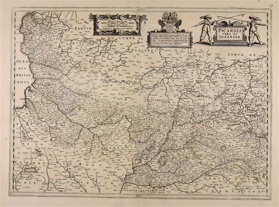
maps made in the 17th century
jan janssonius
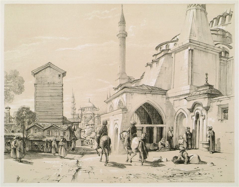
illustrations of constantinople made during a residence in that city in the years 1835-6 (1838)
16th-century maps of the black sea
maps made in the 16th century
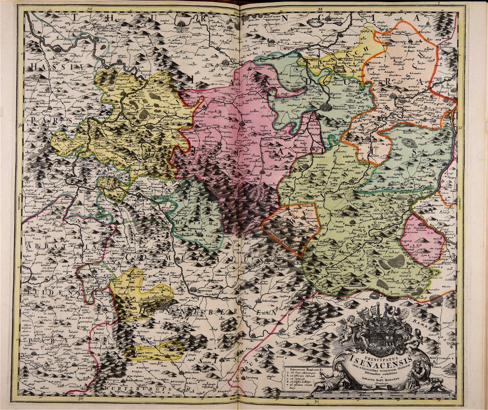
maps made in the 18th century
johann baptist homann
maps made in the 17th century
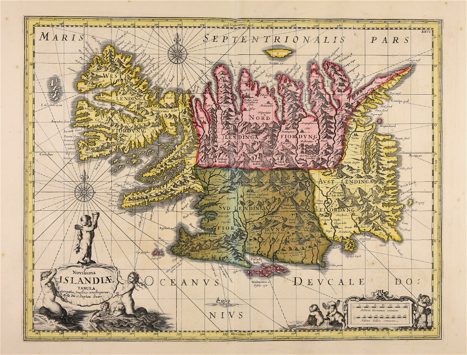
old maps of iceland
maps made in the 18th century
johann baptist homann
flower
circle
christmas
gift
nature
plants
native americans
fences
vehicle
cat
nature
plants
christmas
gift
sweets
food
glass
food
architecture
patterns
self-published work
town
self-published work
sidewalk
plate
food
yellow
food
circle
bowl
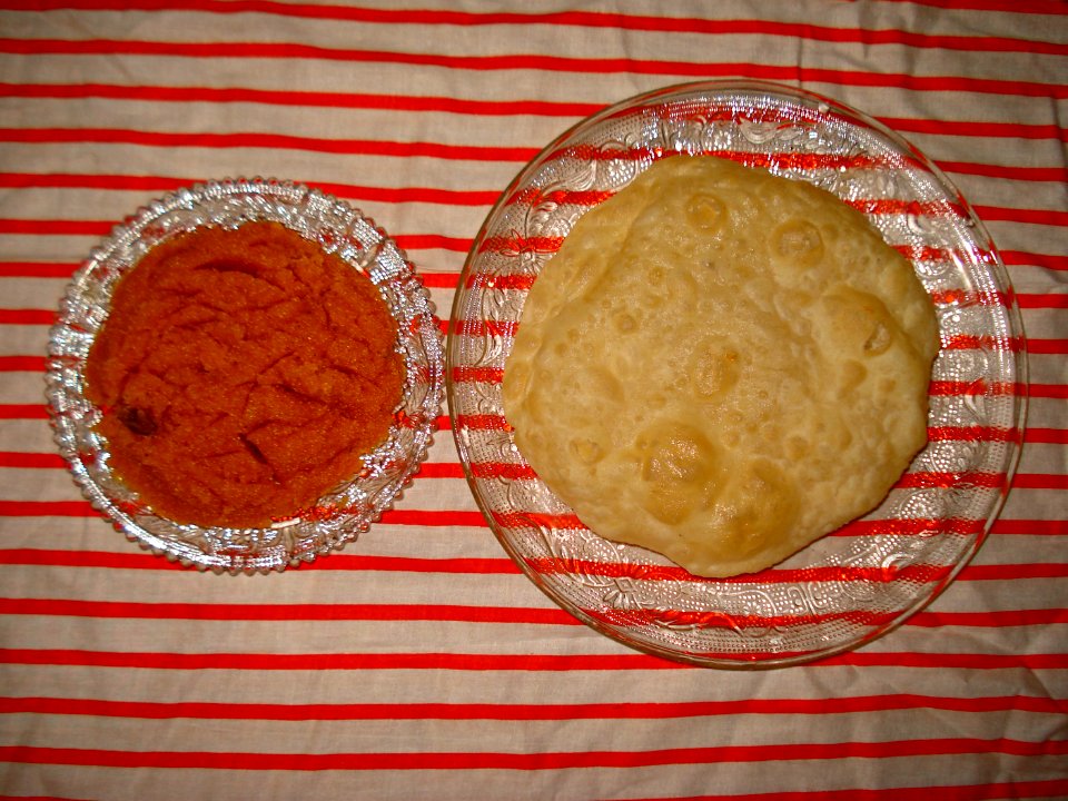
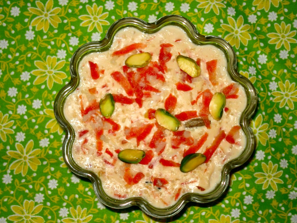
cuisine of punjab, india, made by user miansari66
self-published work
plate
food
cuisine of punjab, india, made by user miansari66
food
plate
food
with trademark
boxing
with trademark
boxing
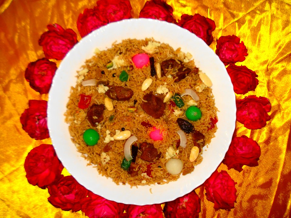
food
meal
cuisine of punjab, india, made by user miansari66
self-published work
images from livrustkammaren
göran schmidt
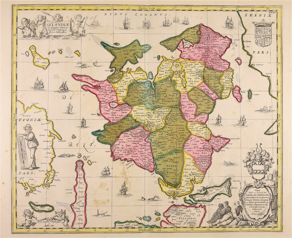
maps made in the 17th century
maps in skokloster castle
color images from livrustkammaren
images from livrustkammaren
led light bulbs with e27 edison screw
made in china
nature
plants
plants
food
west-indische compagnie
image restoration
christmas
gift
christian gottfried heinrich geißler
crimean tatars in art
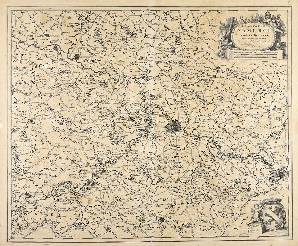
maps made in the 17th century
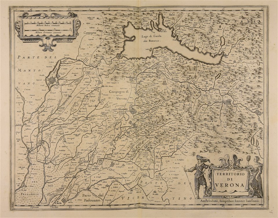
lake garda
artworks made for the zimmern family
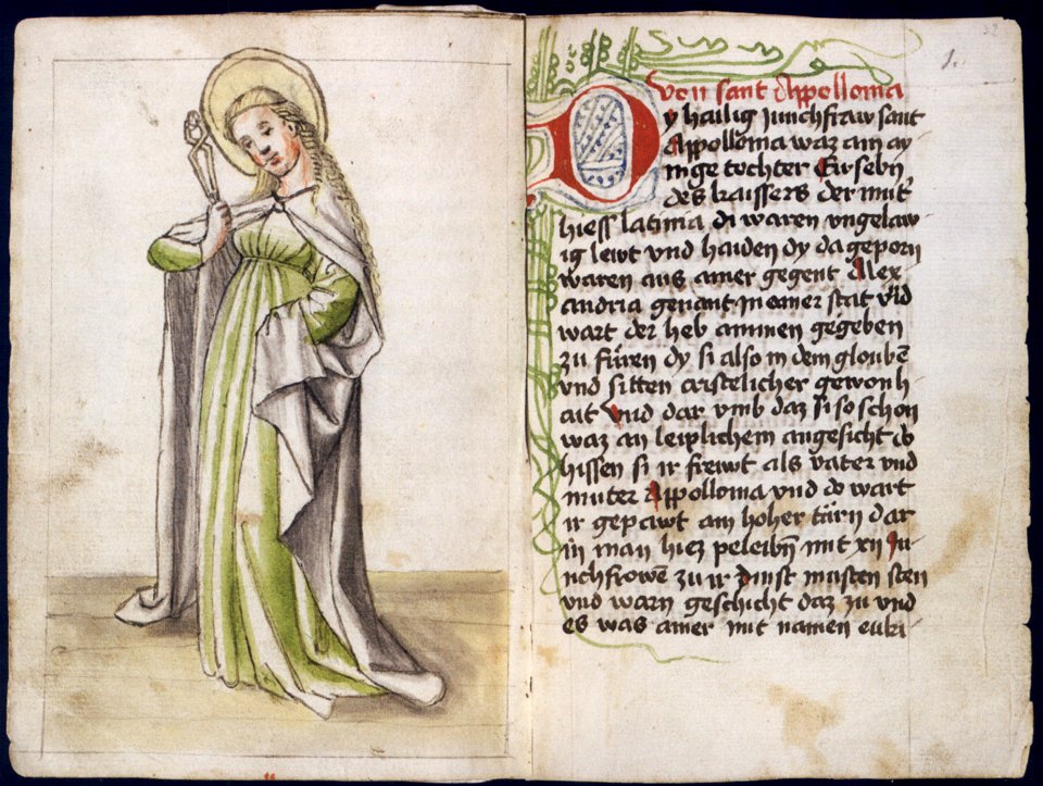
miniatures of saint apollonia
illustrations of constantinople made during a residence in that city in the years 1835-6 (1838)
hagia sophia
atlantis magni tomus secundus (biblioteca comunale di trento)
maps made in the 17th century
18th-century books
cooking
17th-century paintings from italy
art made from slate
maps made in the 17th century
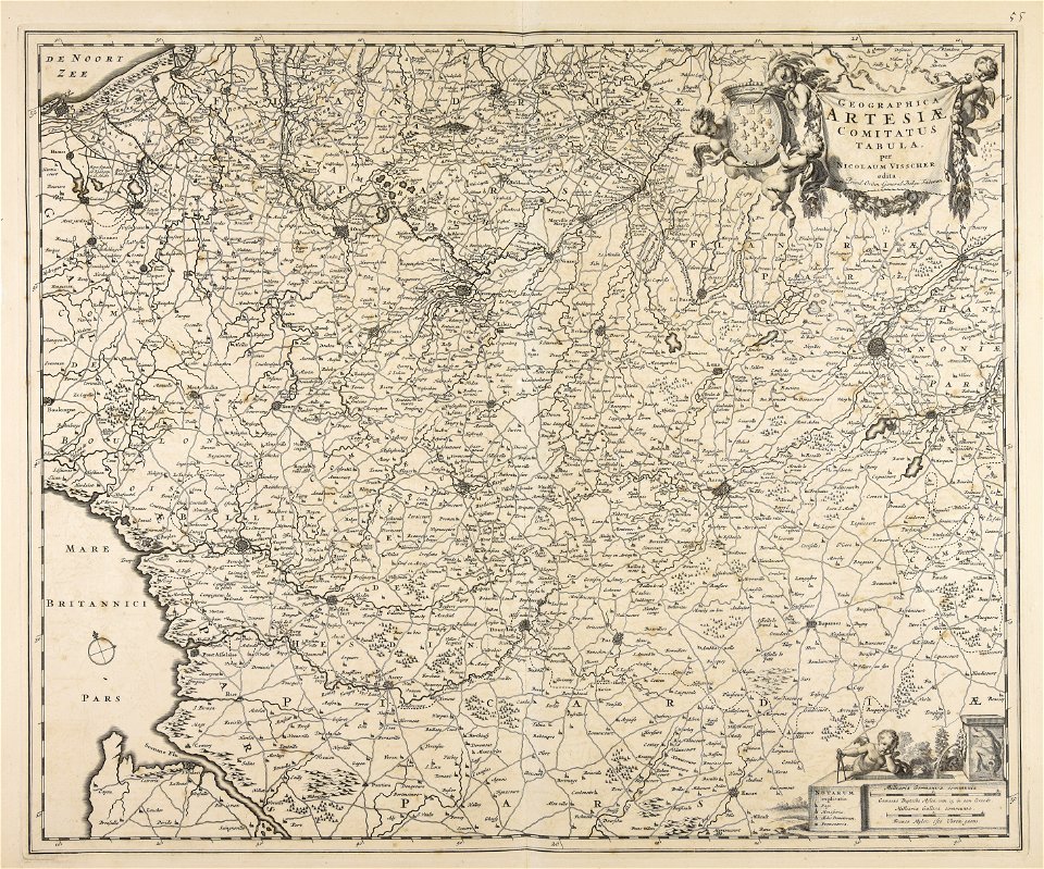
maps by nicolaes visscher i
maps made in the 17th century
nicolaes visscher ii
maps made in the 17th century
nicolaes visscher ii
maps made in the 17th century
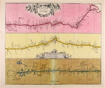
severnaya dvina river
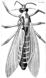
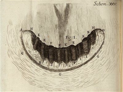
hooke's micrographia diagrams from the national library of wales
gnat
illustrations of constantinople made during a residence in that city in the years 1835-6 (1838)
tophane
maps made in the 18th century
gerard valck
challenges to physical balance
carrying in art
hooke's micrographia diagrams from the national library of wales
land snail
finnish national gallery
aleksander lauréus
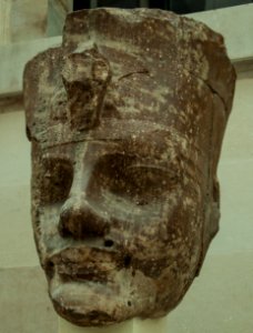
sculptures of human heads
british museum ea6
atlantis magni tomus primus (biblioteca comunale di trento)
maps made in the 17th century
19th-century portrait paintings of women
paintings in the museo de arte de lima
atlantis magni tomus tertius (biblioteca comunale di trento)
maps made in the 17th century
atlantis magni tomus quartus (biblioteca comunale di trento)
maps made in the 17th century
maps made in the 17th century
jan janssonius
maps made in the 17th century
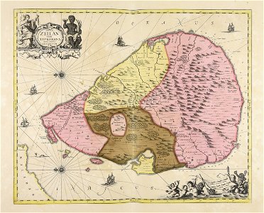
sri lanka
19th-century paintings of standing women at full length
1899 paintings
maps made in the 17th century
nicolaes visscher ii
atlantis magni tomus tertius (biblioteca comunale di trento)
maps made in the 18th century
made under the direction of the secretary of the interior
report on the united states and mexican boundary survey
atlantis magni tomus primus (biblioteca comunale di trento)
maps made in the 17th century
maps made in the 17th century
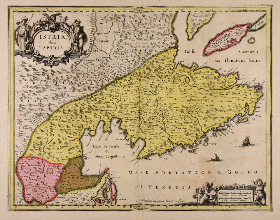
istria
maps by nicolaes visscher i
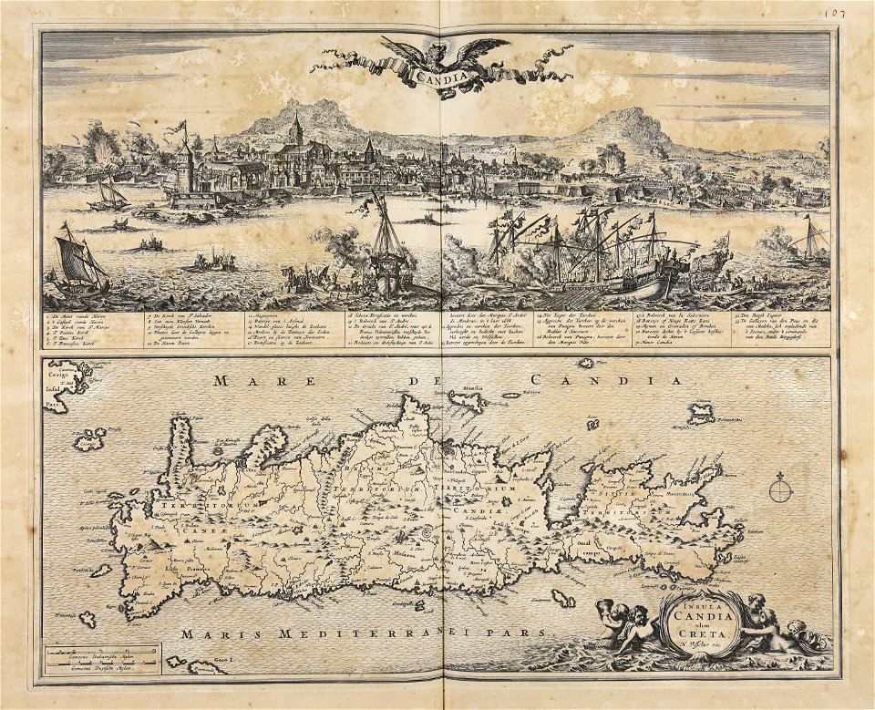
creta
atlantis magni tomus tertius (biblioteca comunale di trento)
maps made in the 17th century
atlantis magni tomus primus (biblioteca comunale di trento)
maps made in the 17th century
atlantis magni tomus secundus (biblioteca comunale di trento)
maps made in the 17th century
1601 - 1700 of 19,071
Next page
/ 191