Log in
All resources
Create a design
Tools
357,549 Free Images of Map
geographical illustrations by coronelli
old maps of the peloponnese
volume 9 of le tour du monde
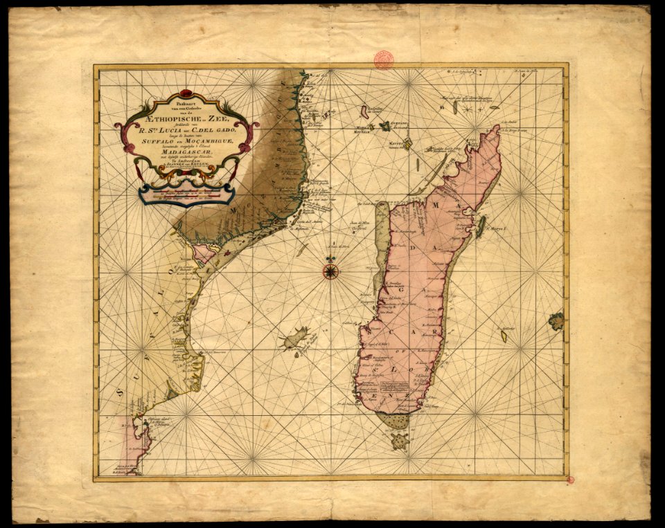
maps of the dutch east india company - south africa
18th-century engravings
maps made in the 18th century
old maps of europe
war of the spanish succession
atlantis magni tomus primus (biblioteca comunale di trento)
pieter schenk (i)
maps of the dutch east india company - south africa
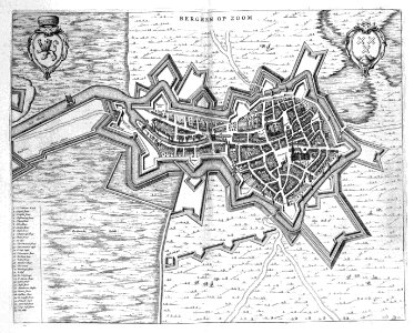
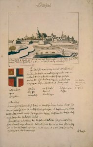
old maps of bergen op zoom
atlas beudeker
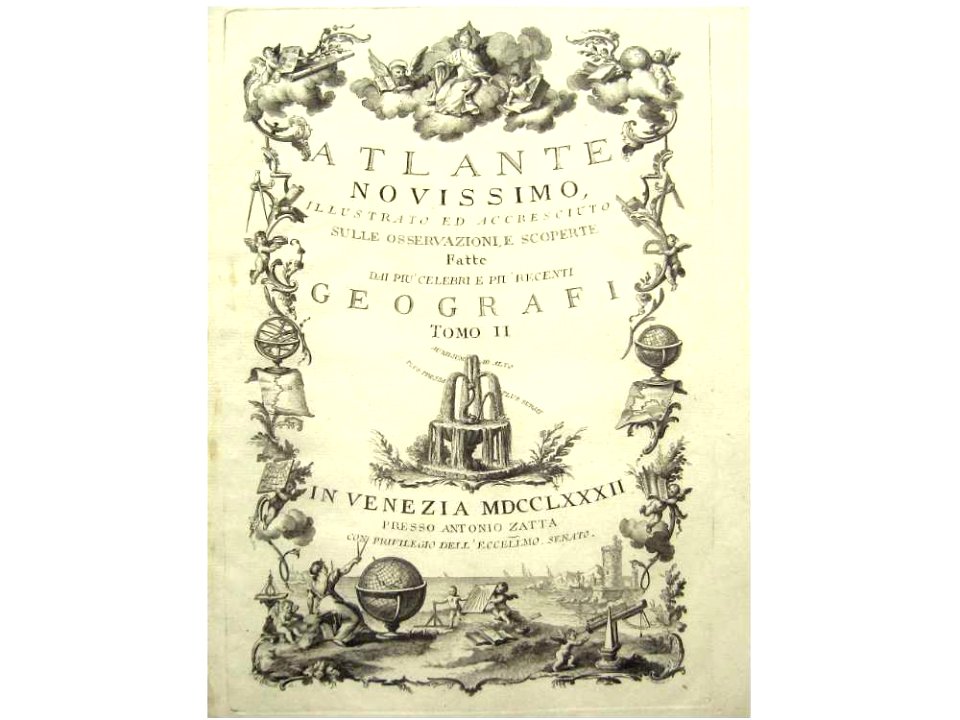
title pages of maps
atlas de wit 1698
title pages from italy
printers from venice
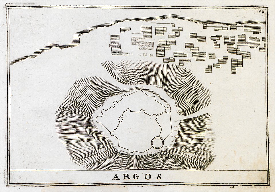
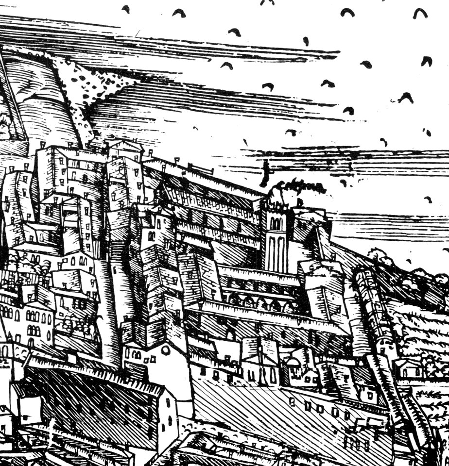
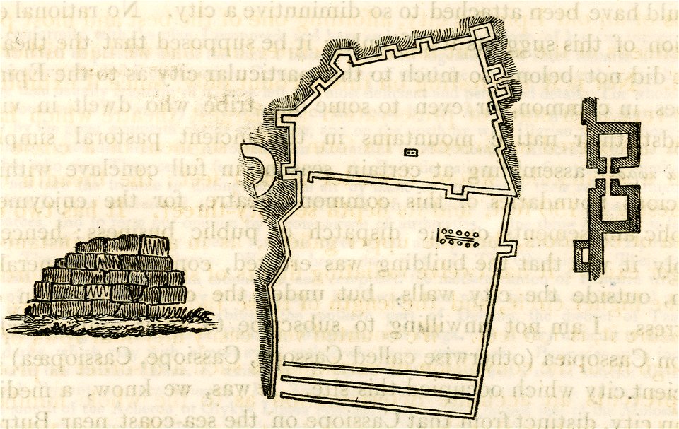
history of argos
argos castle
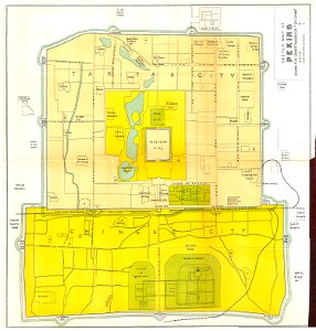
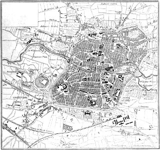
old maps of beijing
history of beijing
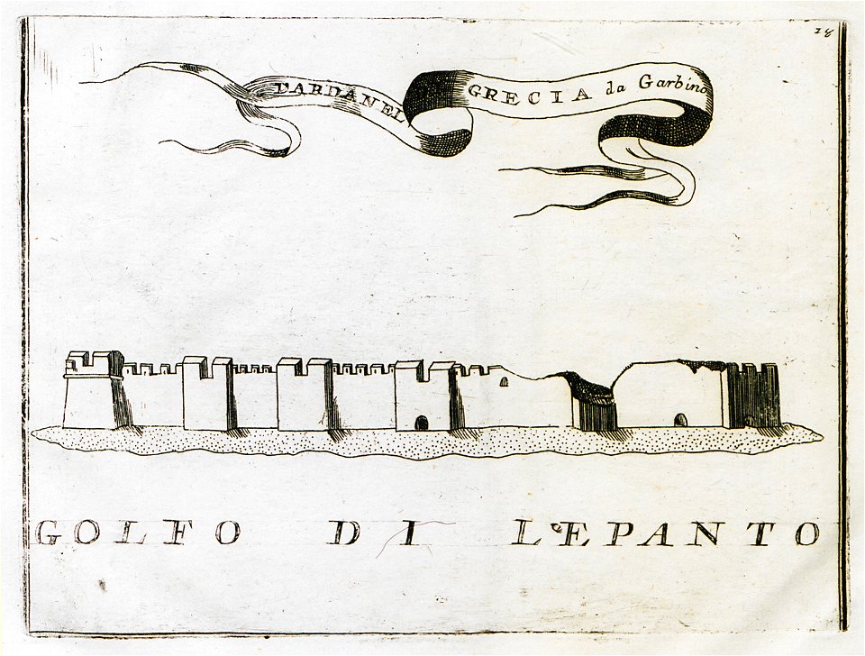
old maps of islands of the aegean sea
bartolommeo dalli sonetti
maps of the dutch east india company - indonesia
1598
maps of the dutch east india company - mauritius
1753
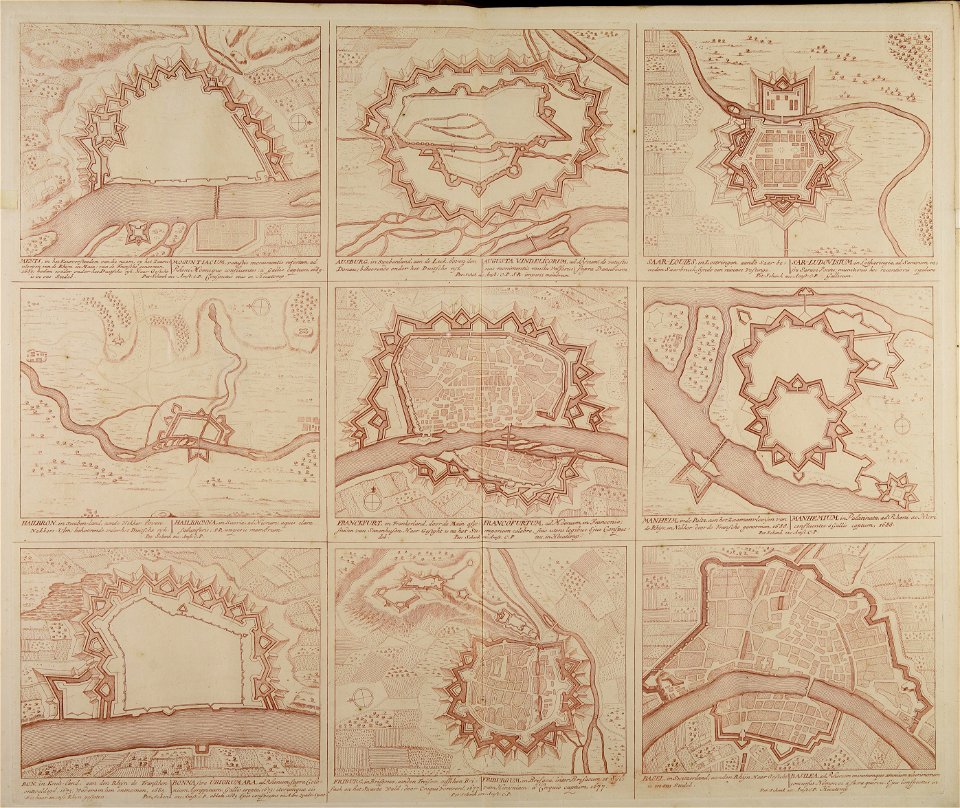
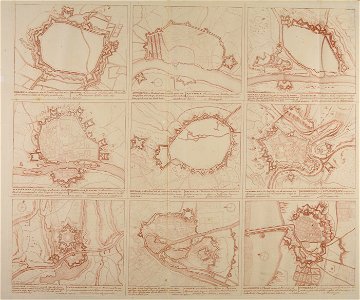
braun & hogenberg
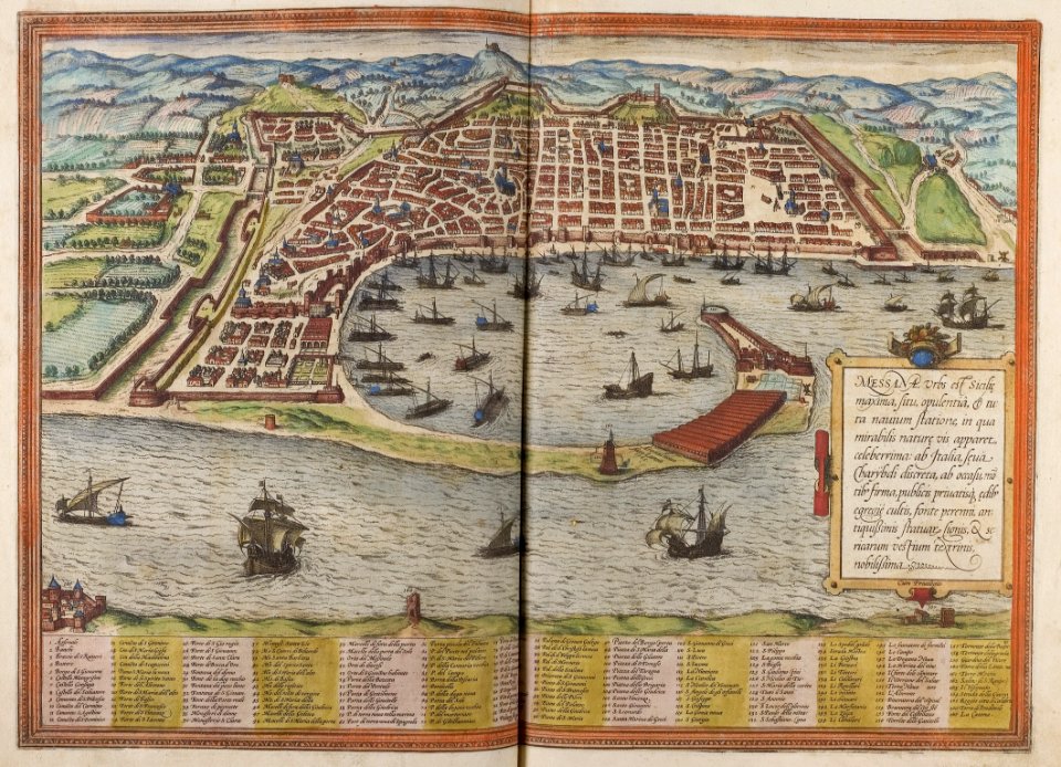
historic port
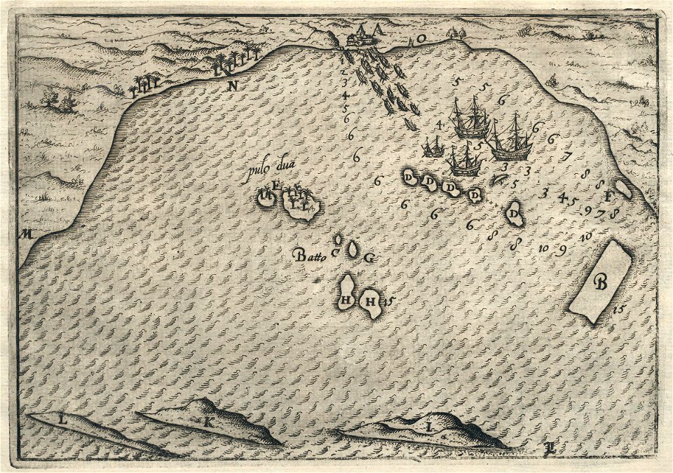
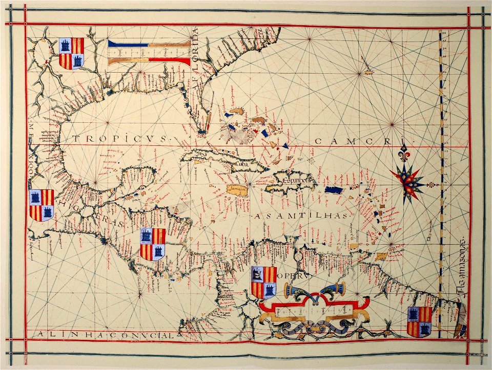
portolan charts
1575
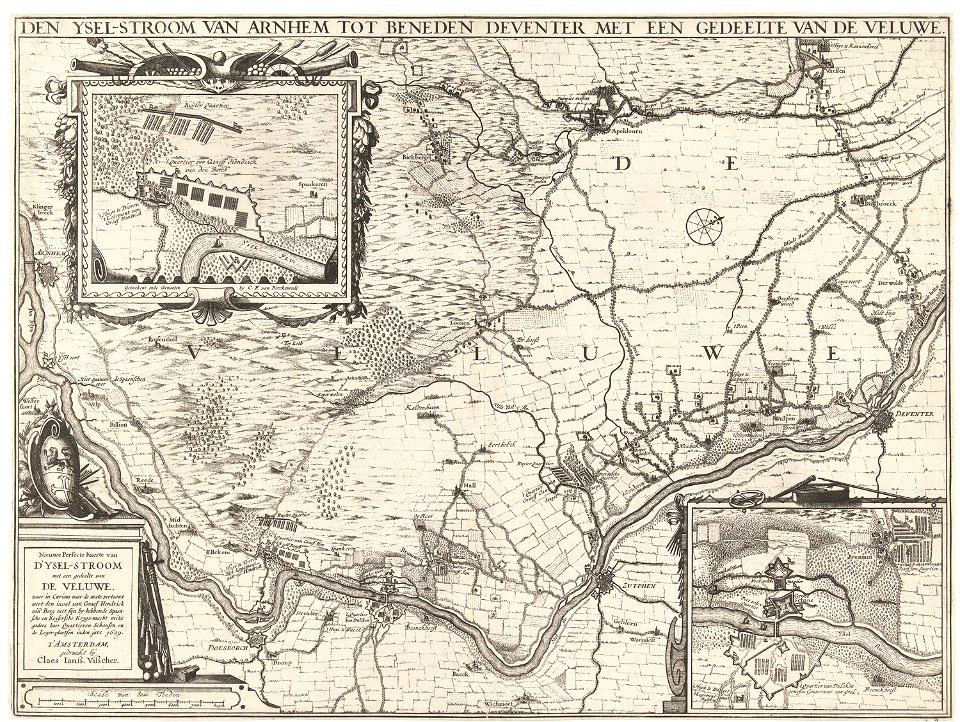
claes jansz. visscher (ii)
1627
popular science monthly illustrations/volume 4
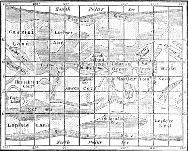
old maps of mars
popular science monthly illustrations/volume 32
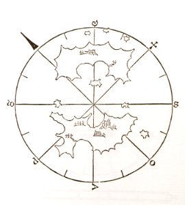
astronomical maps
popular science monthly illustrations/volume 31
astronomical maps
historical images of minsk
old maps of minsk
the illustrated london news 1857
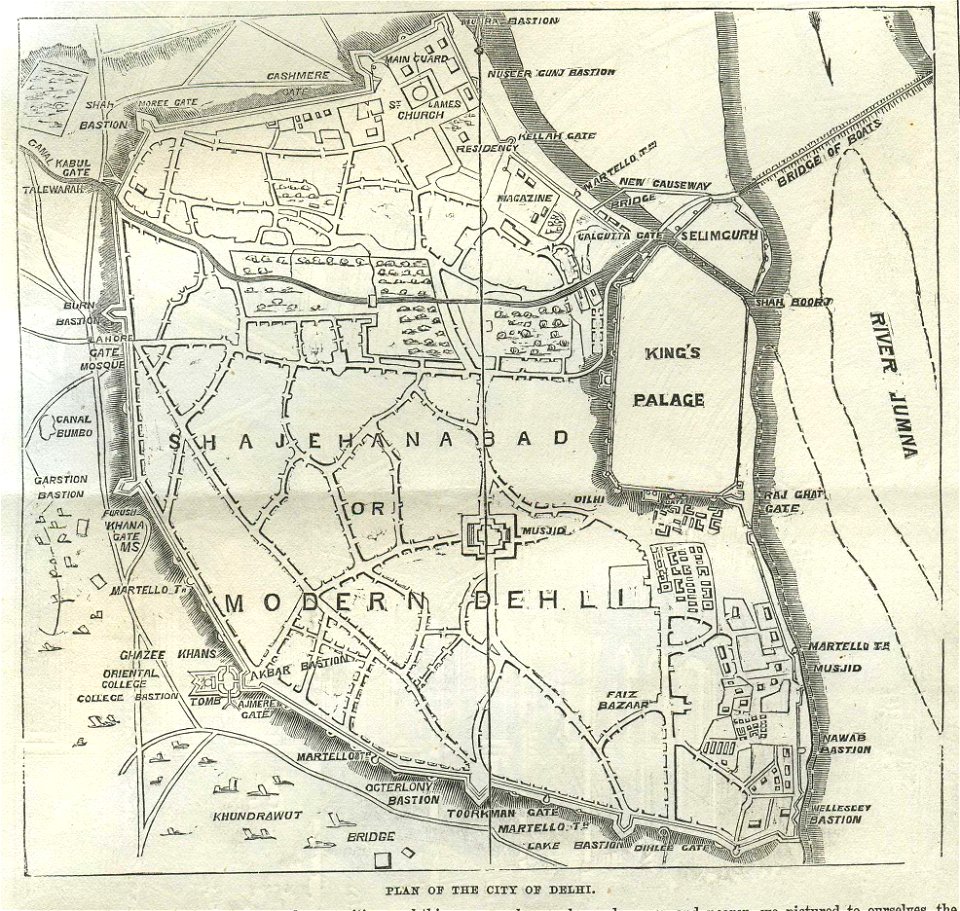
old maps of delhi
1818 watercolor paintings
vilenica cave
charts and maps of the royal museums greenwich
german flag
communism
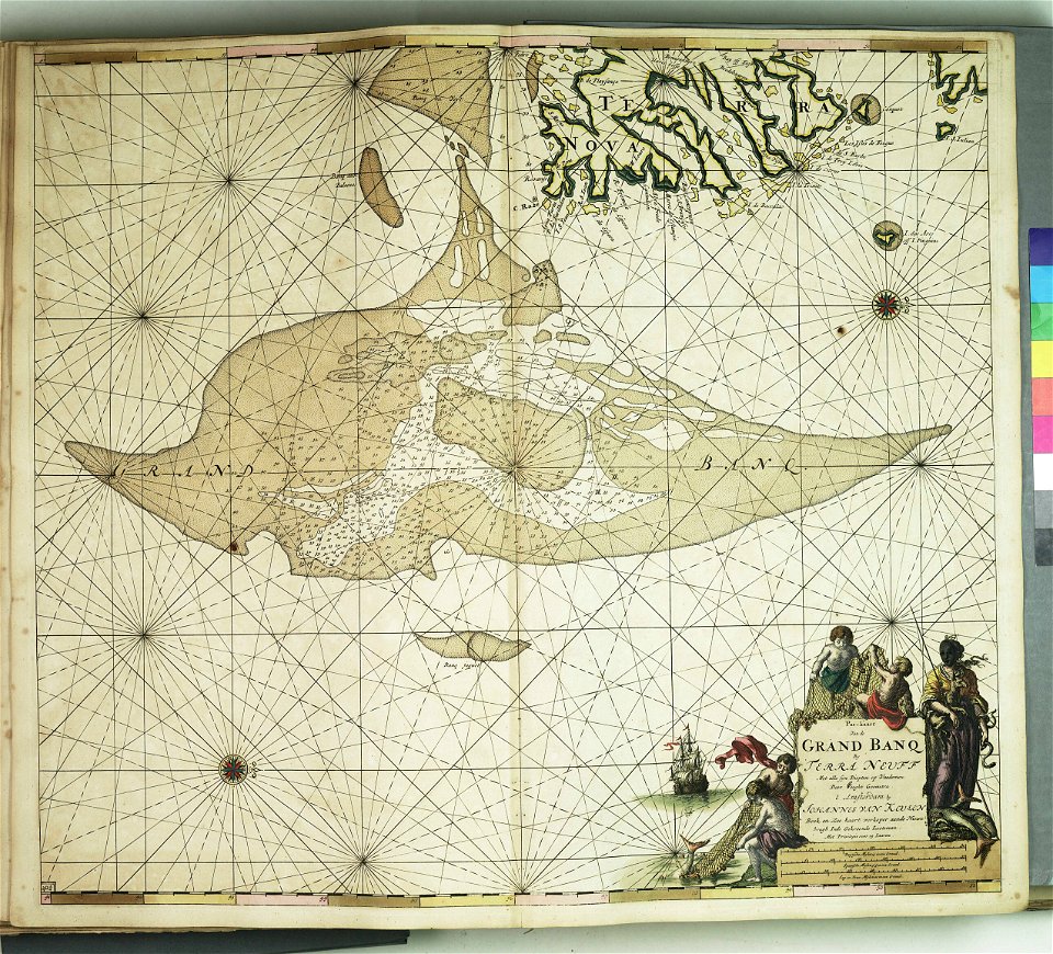
johannes van keulen
copper engraving
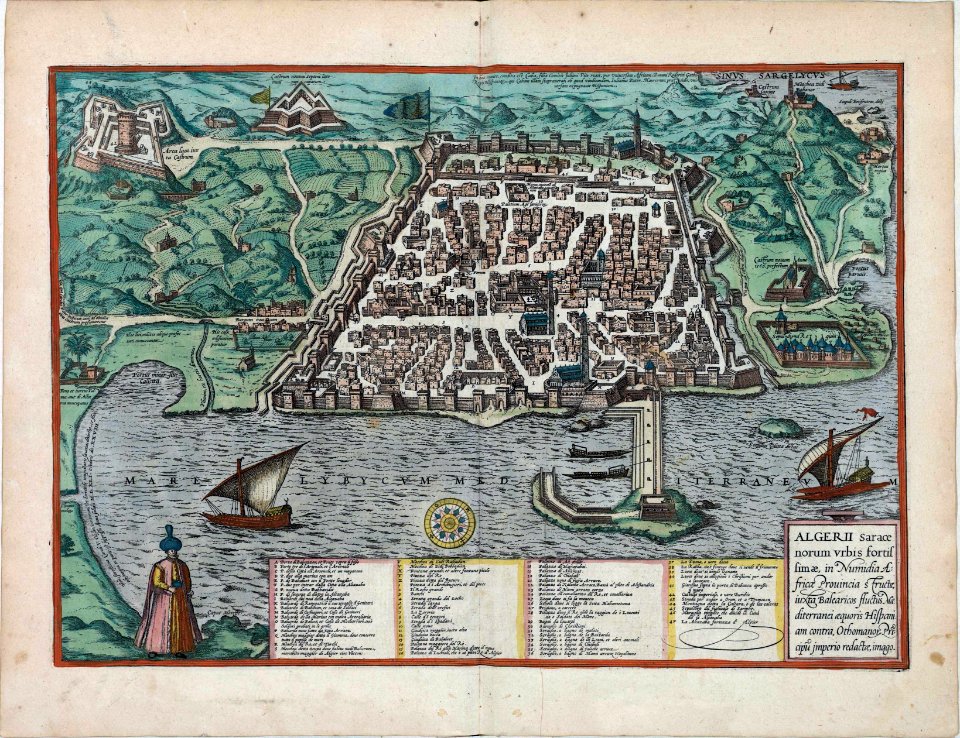
historical images of algiers
braun & hogenberg
demolished churches in de barbari map
chiesa della celestia
maps and topographical views by joris hoefnagel
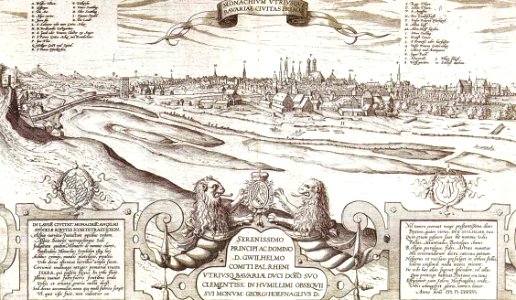
old views of munich
old maps of islands of the aegean sea
bartolommeo dalli sonetti
old maps of islands of the aegean sea
bartolommeo dalli sonetti
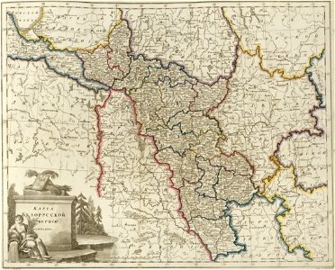
old maps of governorates of the russian empire
atlas of the russian empire (1800)
atlas schoemaker-overijssel
atlas schoemaker
maps of the dutch east india company - sri lanka
1787
maps of the dutch east india company - south africa
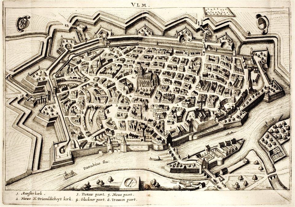
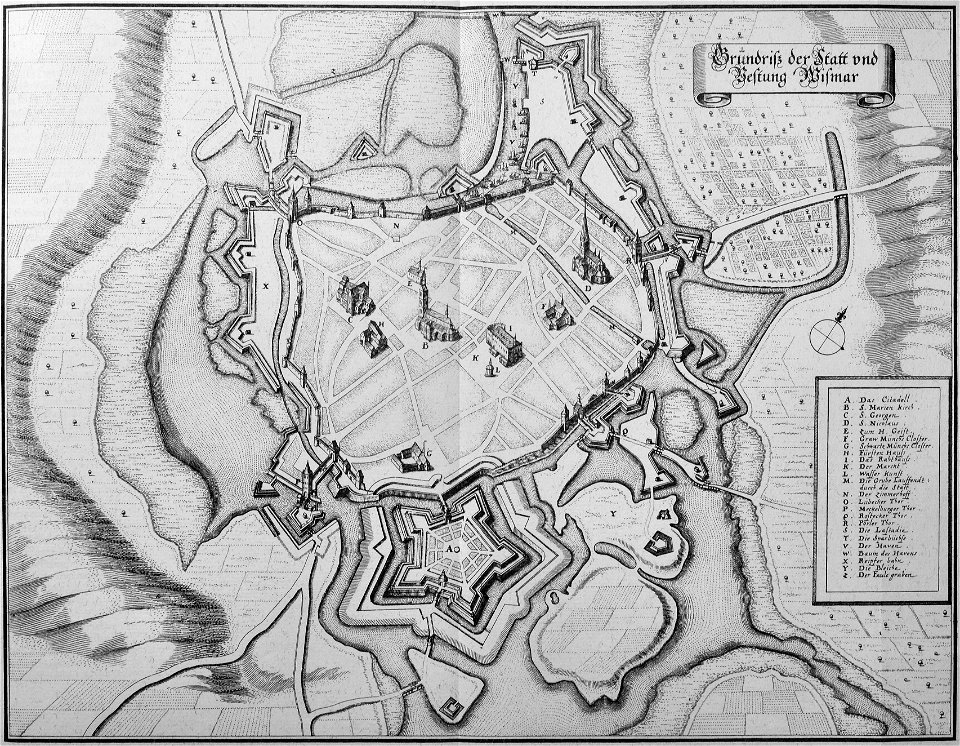
historical maps of ulm
history of ulm
geographical illustrations by coronelli
old maps of the peloponnese
geographical illustrations by coronelli
old maps of the peloponnese
description des principales villes (1690)
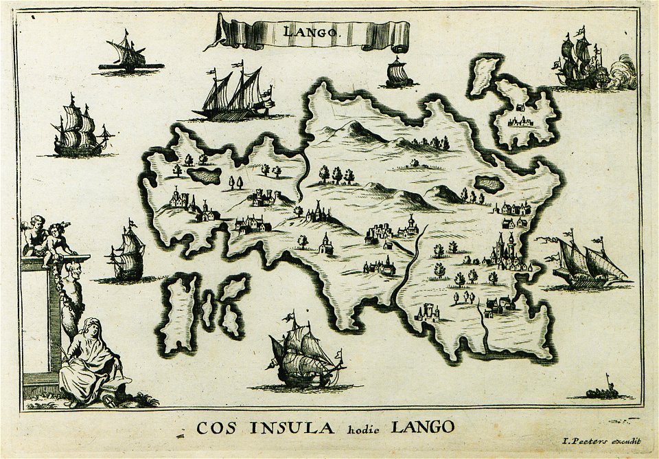
old maps of kos
geographical illustrations by coronelli
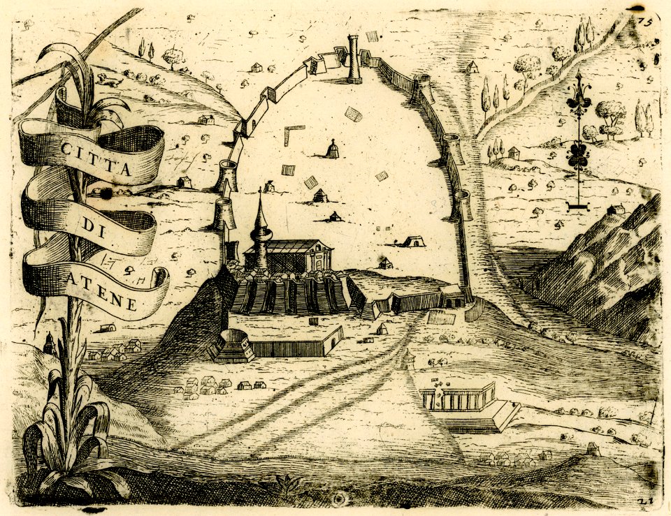
athens in the ottoman era
maps of the dutch east india company - south africa
maps of the dutch east india company - south africa
west-indische compagnie
1770
maps of the dutch east india company - india
1755
bibliothèque municipale de reims
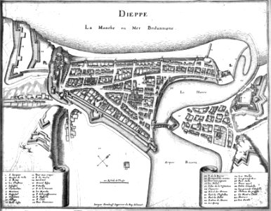
port of dieppe
geographical illustrations by coronelli
old maps of the peloponnese
geographical illustrations by coronelli
old maps of the peloponnese
geographical illustrations by coronelli
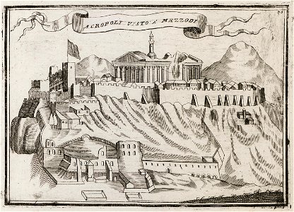
acropolis of athens in art
maps in the national library of new zealand
artwork by charles heaphy
nicolaes van geelkercken
frederick de wit
popular science monthly illustrations/volume 48
1896 maps
charts and maps of the royal museums greenwich
dutch 18th-century prints in the rijksmuseum amsterdam
battles of the eighty years' war
engravings of topographia bohemiae moraviae et silesiae
maps of the history of breslau (wrocław)
engravings of topographia saxoniae inferioris
topographia saxoniae inferioris (merian)
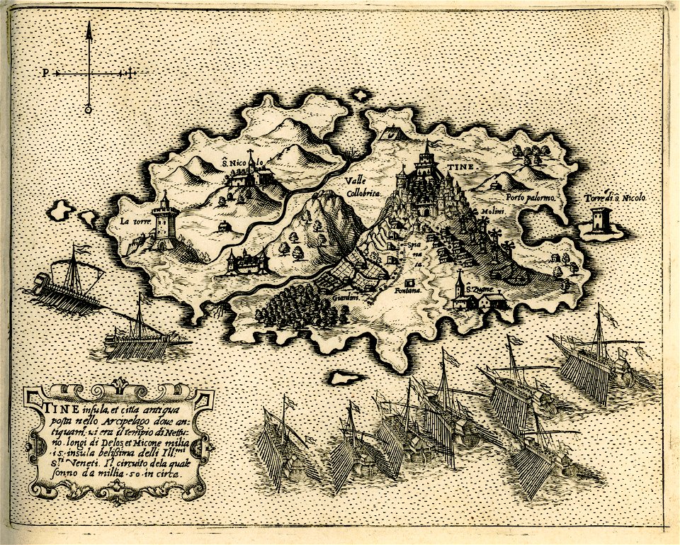
engravings of tinos
giovanni camocio
royal observatory
greenwich
travels in sicily greece and albania
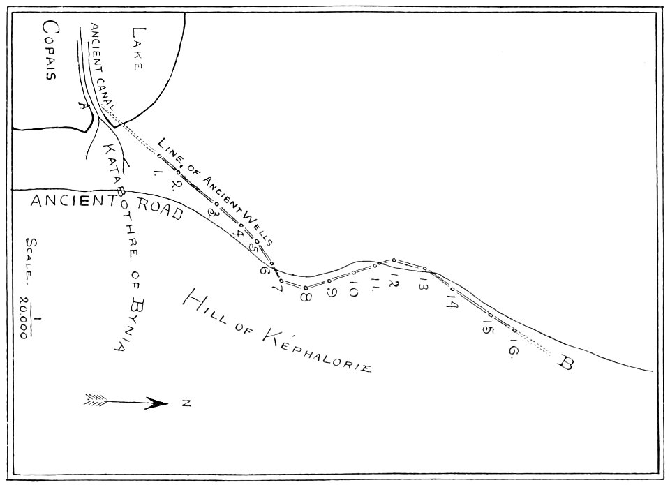
maps of dodona
history of belém (pará)
maps of belém (pará)
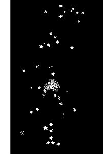
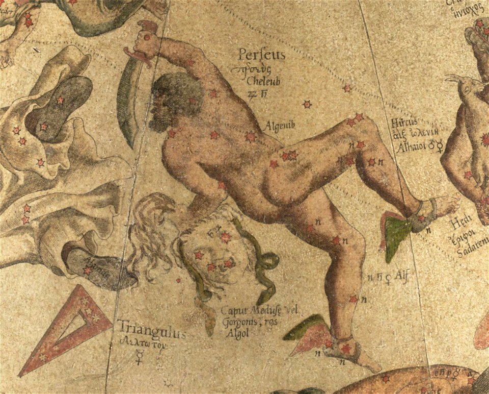
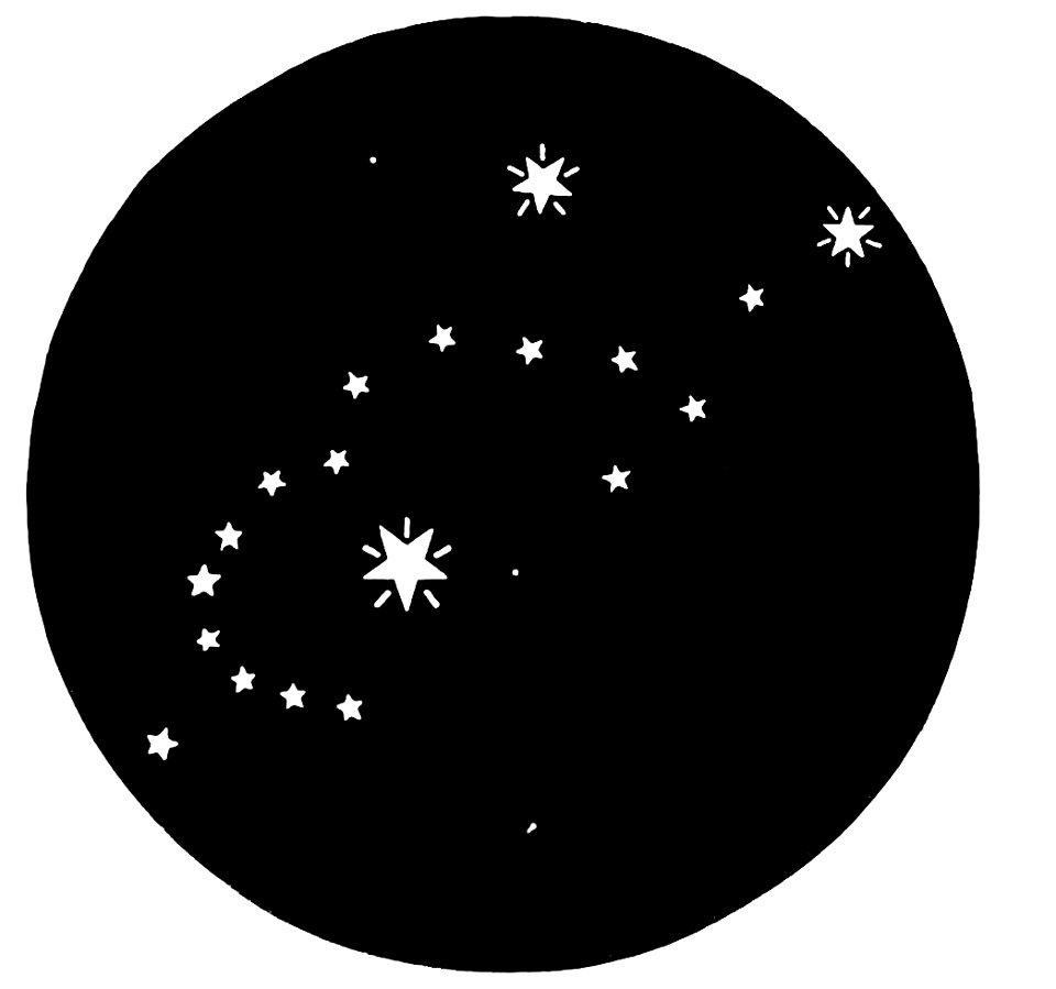
triangulum (constellation)
maps by gerardus mercator
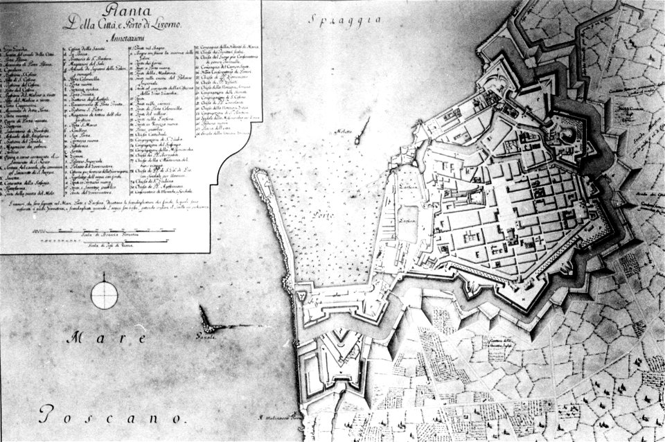
old maps of livorno
walls of livorno
auberge de provence (valletta)
old maps of valletta
popular science monthly illustrations/volume 32
astronomical maps
university of toronto wenceslas hollar digital collection
isle of man
collection de la bibliothèque municipale de reims
old maps of aube
maps in the national library of australia
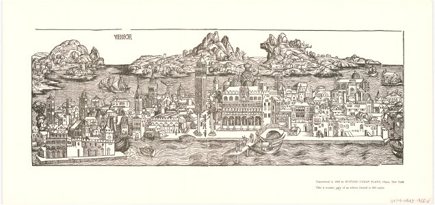
venice in art
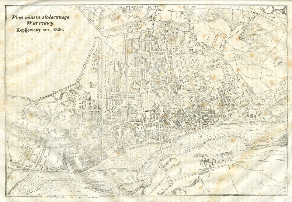
warsaw in the 19th century
historical maps of warsaw
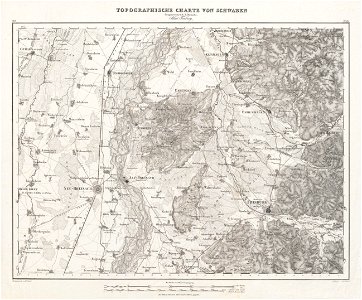
charte von schwaben (bohnenberger)
old maps of freiburg im breisgau
faiava lasi
tuvalu
map of maastricht by willem and johannes blaeu (1649)
sint-pieterspoort (maastricht)
charts and maps of the royal museums greenwich
johann christoph brotze
old maps of riga
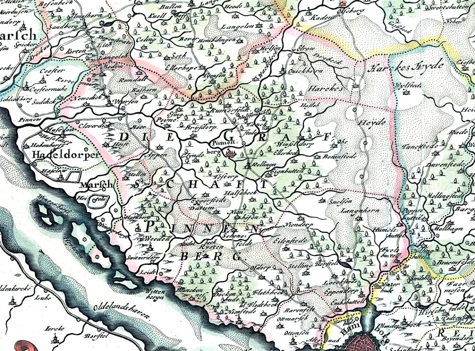
landtcarte von dem fürstenthumbe stormarn
maps of kreis pinneberg
map of ferrara by andrea bolzoni
cimitero monumentale (ferrara)
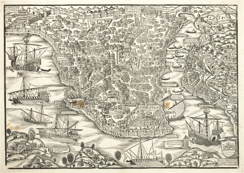
turkey in the 16th century
harvard university
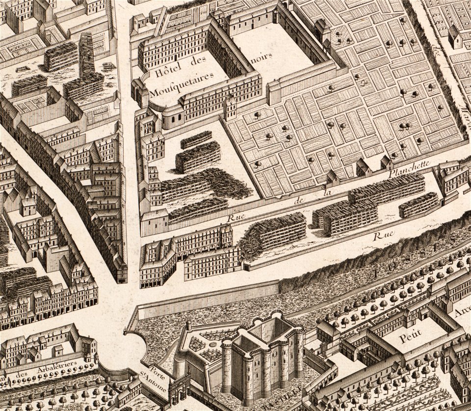
turgot map of paris – derivative files
musketeers of the guard
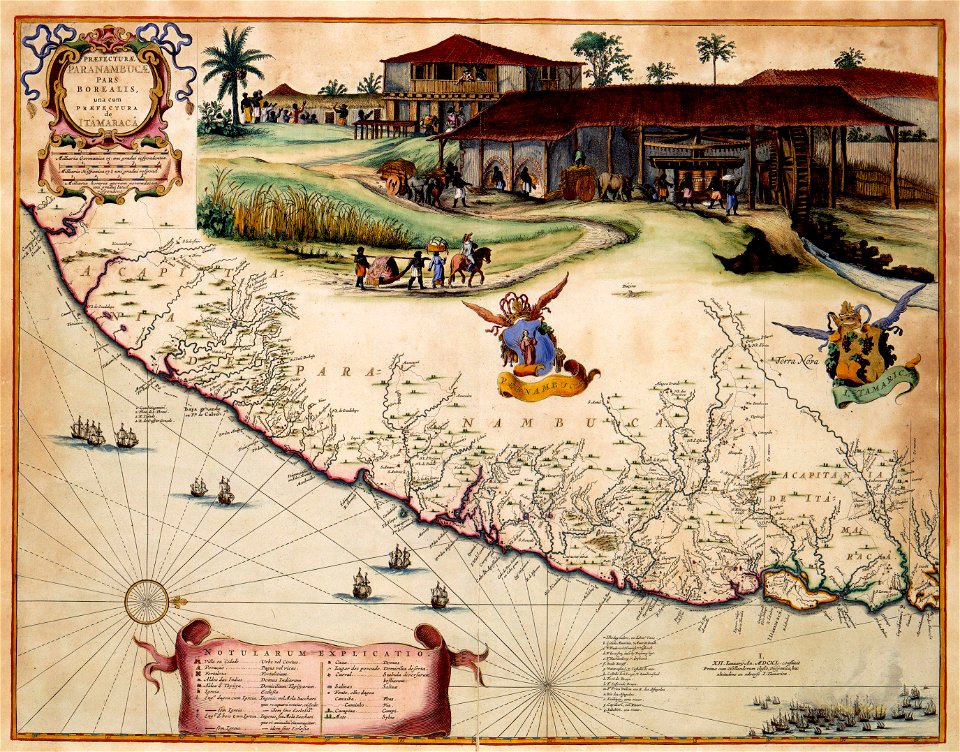
old maps of dutch brazil
itamaracá
burgerzaal celestial map
planisphere
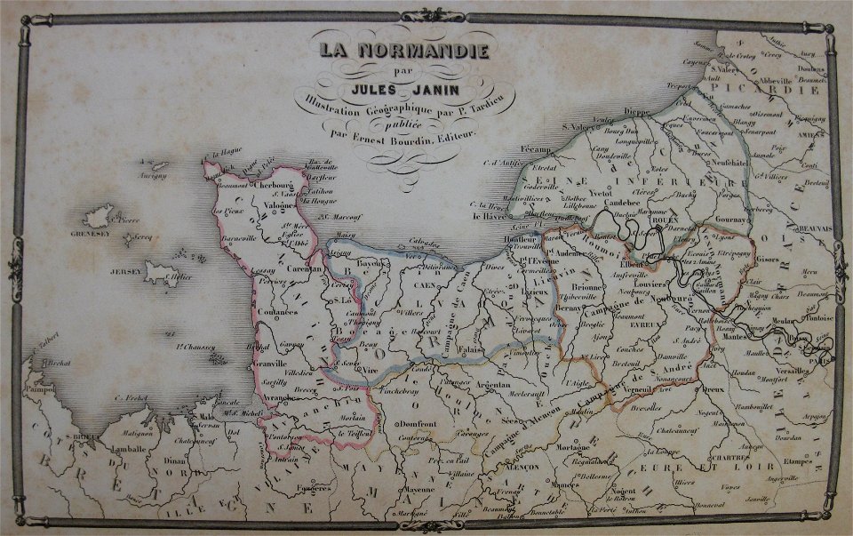
la normandie (jules janin)
alfred johannot
maps of lars kietzlingh
nacka gård
volume 6 of le tour du monde
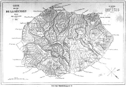
old maps of réunion
volume 7 of le tour du monde
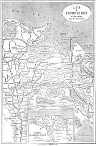
old maps of iraq
volume 9 of le tour du monde
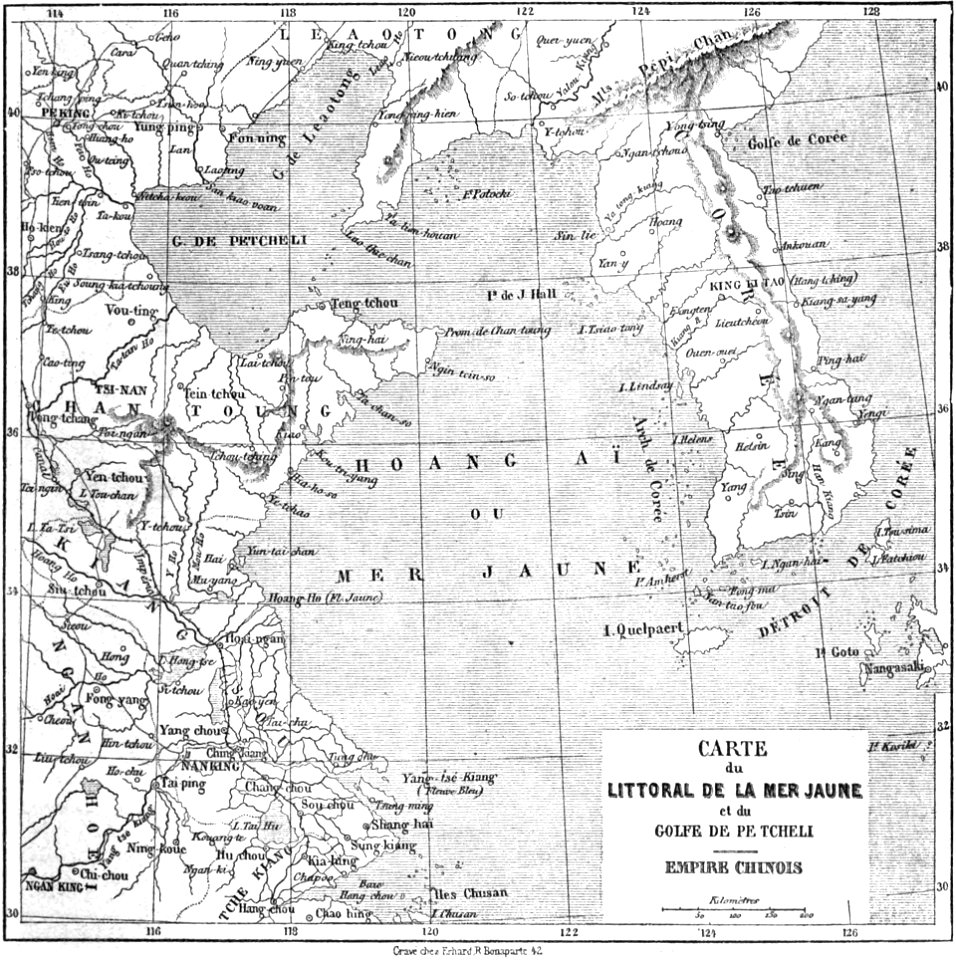
1860s maps of china
volume 7 of le tour du monde
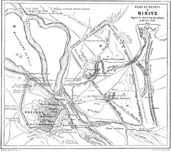
maps of nineveh province
volume 8 of le tour du monde
old maps of egypt
volume 7 of le tour du monde
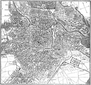
old maps of vienna
volume 9 of le tour du monde
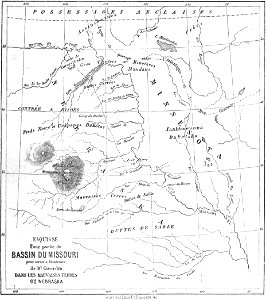
1860s maps of nebraska
volume 8 of le tour du monde
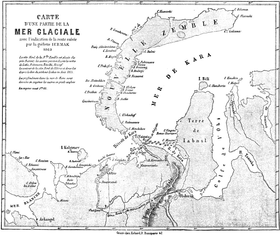
old maps of siberia
volume 9 of le tour du monde
old maps of nuremberg
volume 9 of le tour du monde
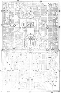
old maps of beijing
volume 9 of le tour du monde
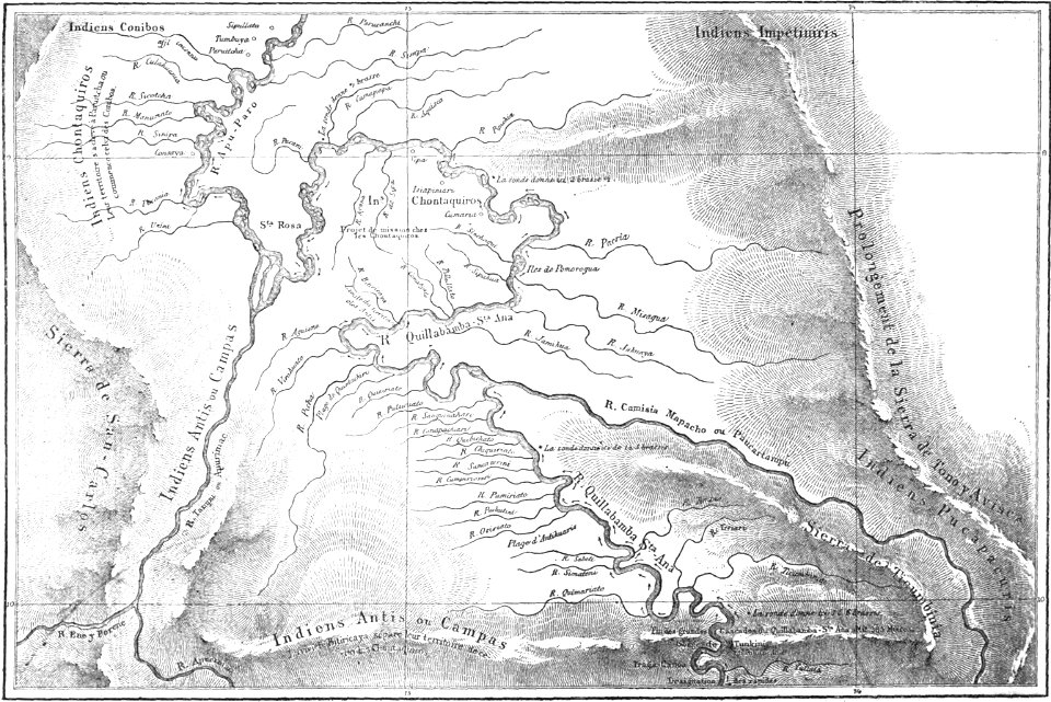
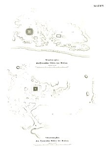
old maps of peru
el-lahun
meidum
volume 4 of le tour du monde
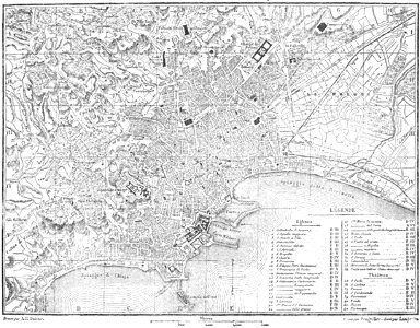
old maps of naples
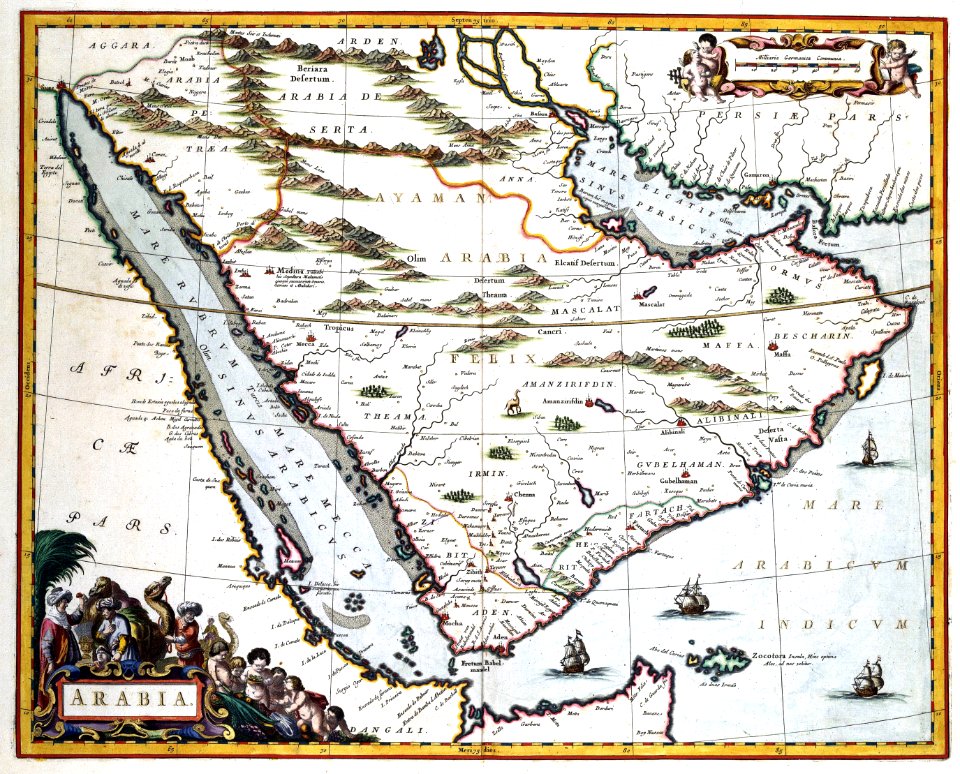
old maps of the arabian peninsula
najd
green
maps
maps made in the 18th century
18th-century engravings
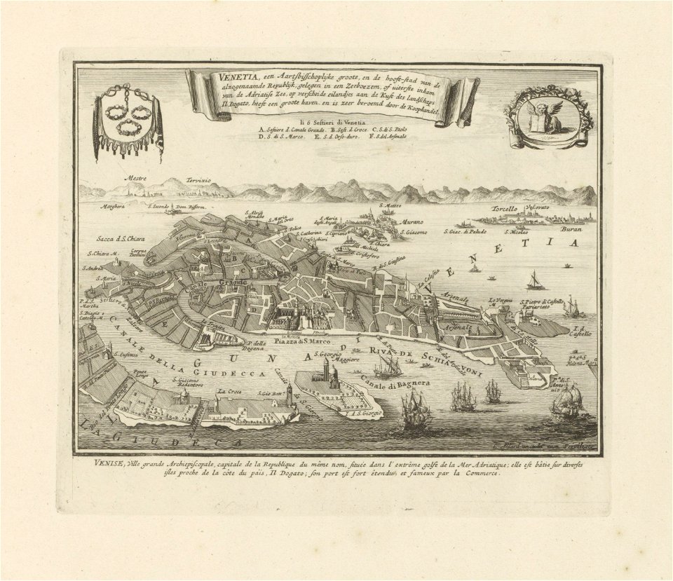
old maps of venice
carolus allard
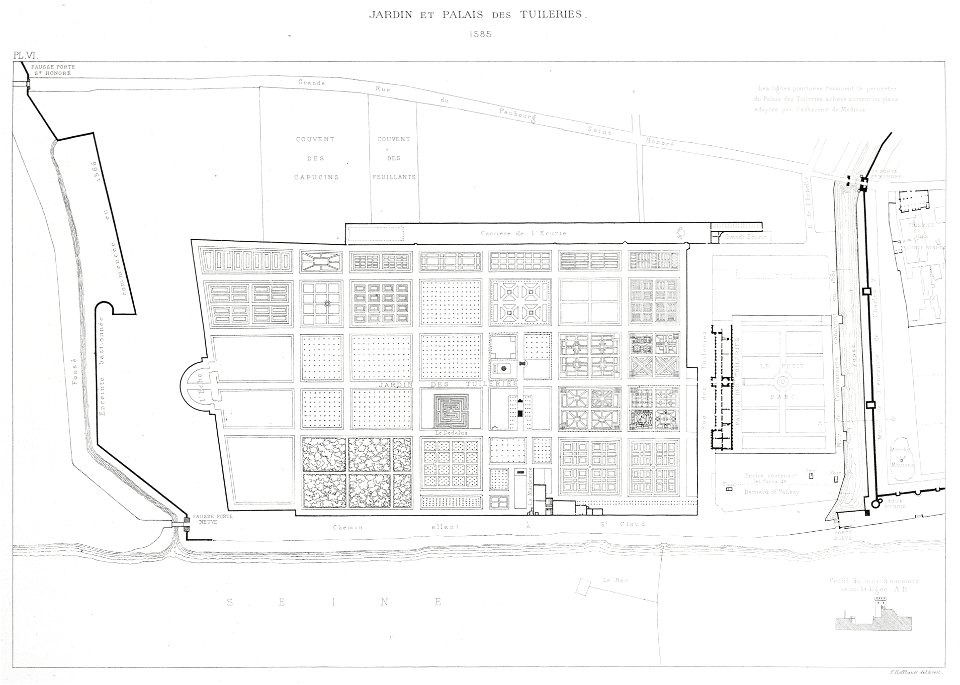
paris in the 16th century
lithographs of paris
maps
flag
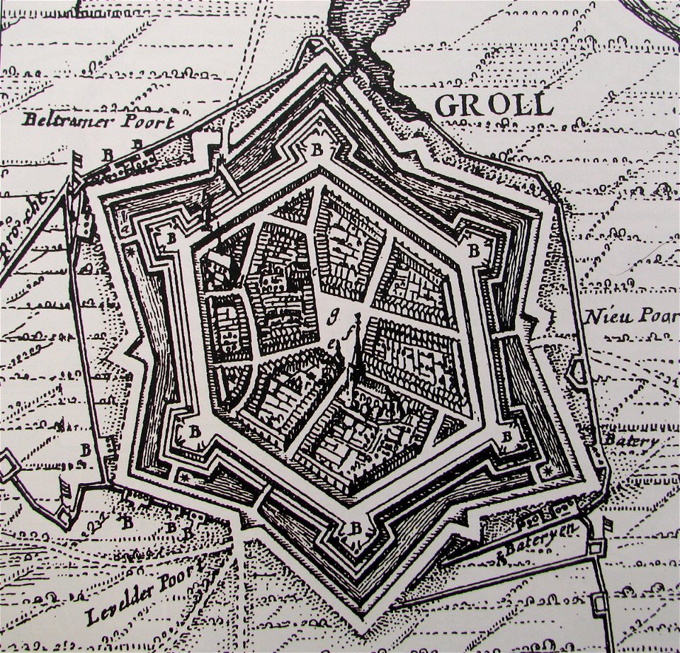
old maps of north rhine-westphalia
maps with cartouches
atlas van der hagen (volume 4)
maps with cartouches
maps made in the 18th century
18th-century engravings
maps made in the 18th century
18th-century engravings
maps made in the 18th century
18th-century engravings
cellos in art
artist
12501 - 12600 of 357,549
Next page
/ 3576