Log in
All resources
Create a design
Tools
357,549 Free Images of Map
charts and maps of the royal museums greenwich
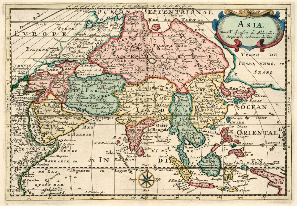
1682 maps
maps in the library of congress
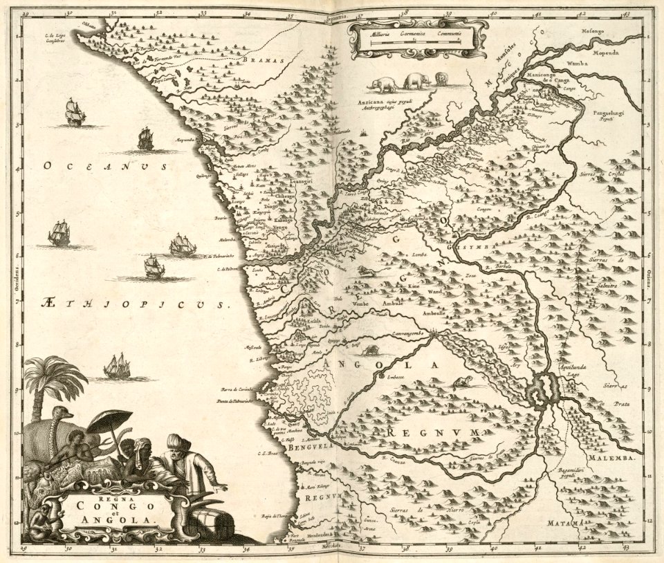
maps of the west-indische compagnie
maps made in the 17th century
maps with cartouches
atlas van der hagen
gerard valck
maps by pieter schenk (i)
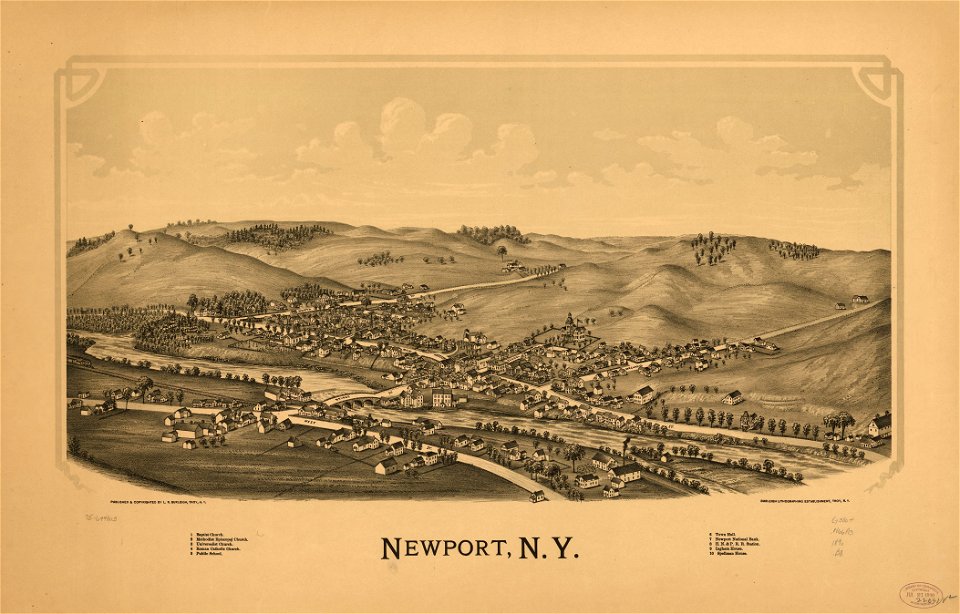
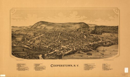
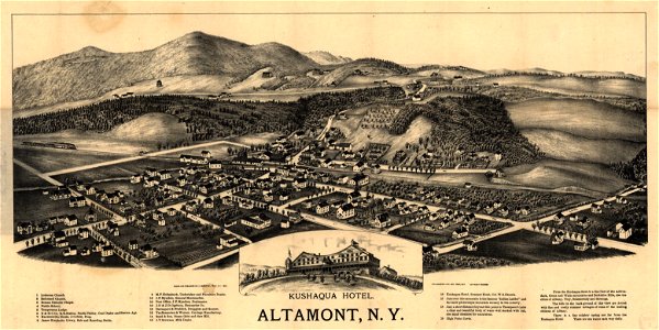
1890 maps of new york (state)
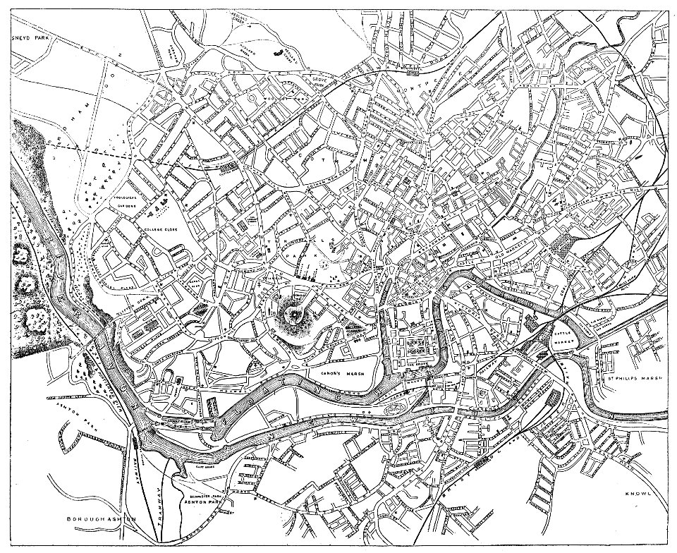
images from bristol past and present (1882)
old maps of bristol
maps by coronelli
methoni castle
maps in the library of congress
1890 maps of new york (state)
charts and maps of the royal museums greenwich
1682 maps
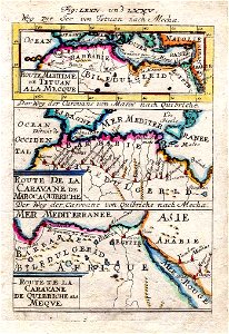
description de l'universe
old maps of saudi arabia
james cook (maps relating to)
old maps of newfoundland
ptolemy's 9th european map
maps by sebastian münster
charts and maps of the royal museums greenwich
1682 maps
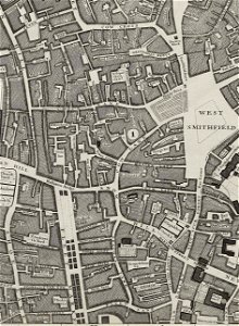
john rocque's 1746 map of london
molly house
maps in the british museum
maps in the british museum
charts and maps of the royal museums greenwich
1682 maps
charts and maps of the royal museums greenwich
1682 maps
john rocque's 1746 map of london
alie street
maps in the library of congress
1884 maps of new york (state)
charts and maps of the royal museums greenwich
1682 maps
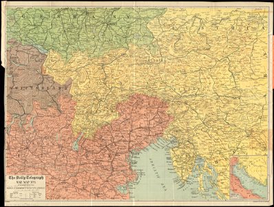
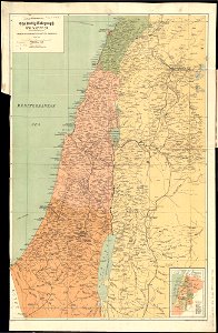
maps of world war i by the daily telegraph
maps of world war i by the daily telegraph
maps of world war i by the daily telegraph
maps of world war i by the daily telegraph
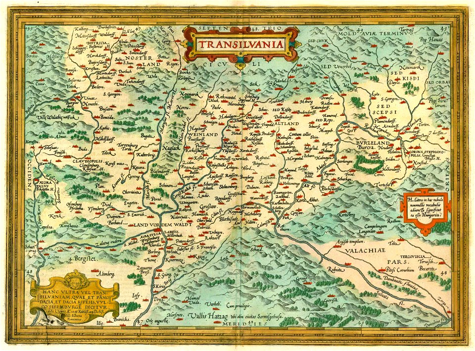
1612 maps of transylvania
maps by abraham ortelius
charts and maps of the royal museums greenwich
1682 maps
charts and maps of the royal museums greenwich
1682 maps
maps in the library of congress
1884 maps of new york (state)
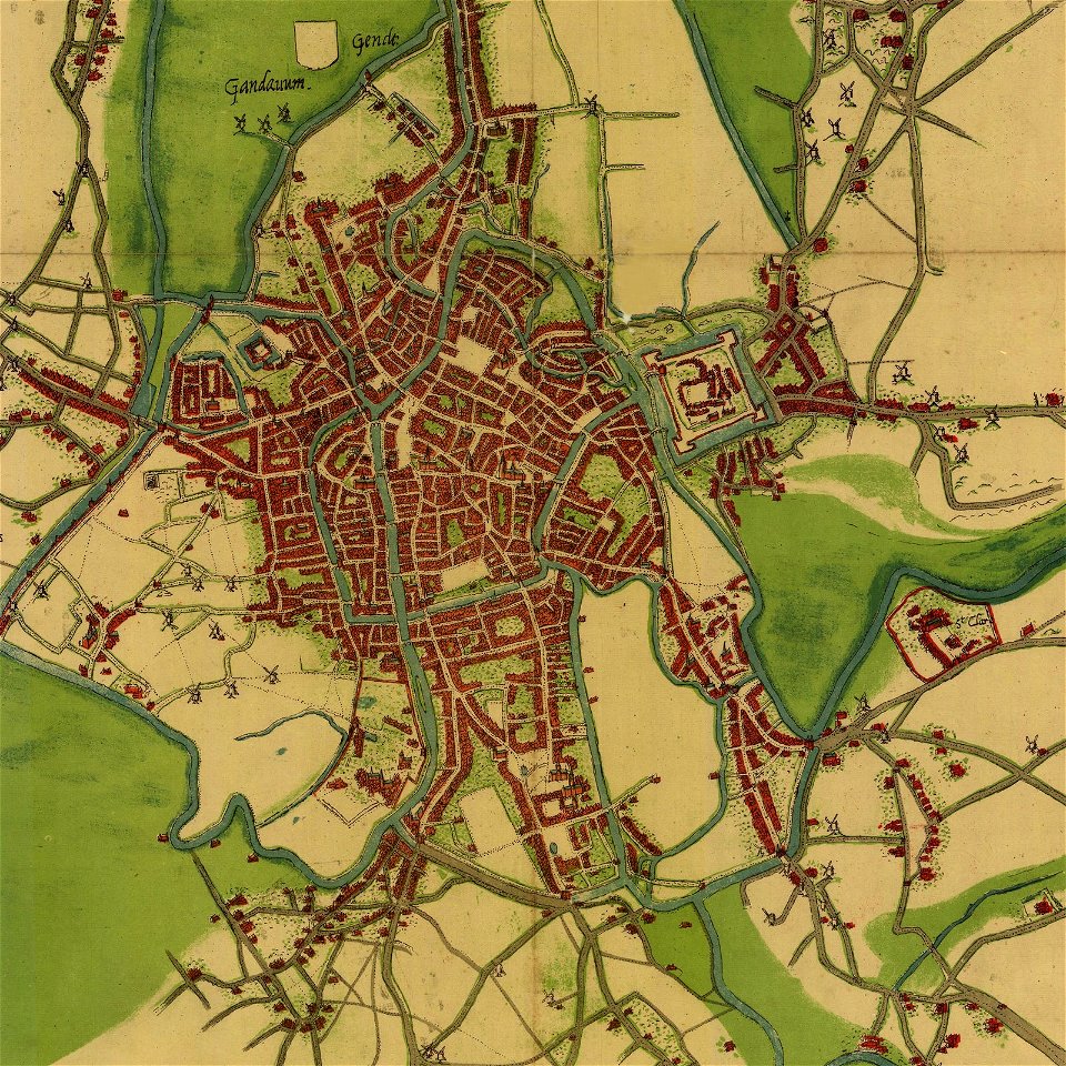
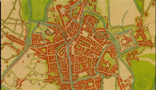
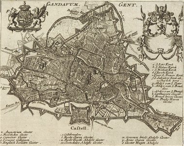
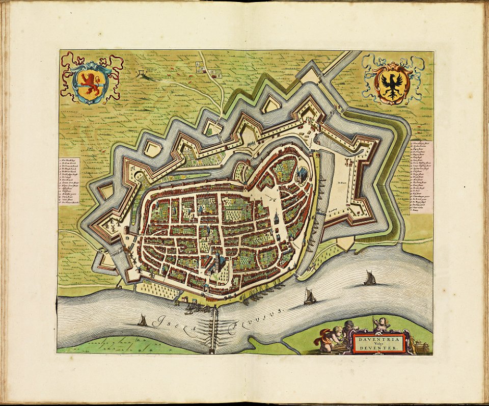
map of ghent by jacob van deventer
map of ghent by jacob van deventer
charts and maps of the royal museums greenwich
1682 maps
charts and maps of the royal museums greenwich
1682 maps
charts and maps of the royal museums greenwich
1682 maps
map of ghent by gabriel bodenehr
1725 maps of europe
charts and maps of the royal museums greenwich
1838 maps
charts and maps of the royal museums greenwich
1838 maps
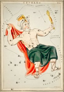
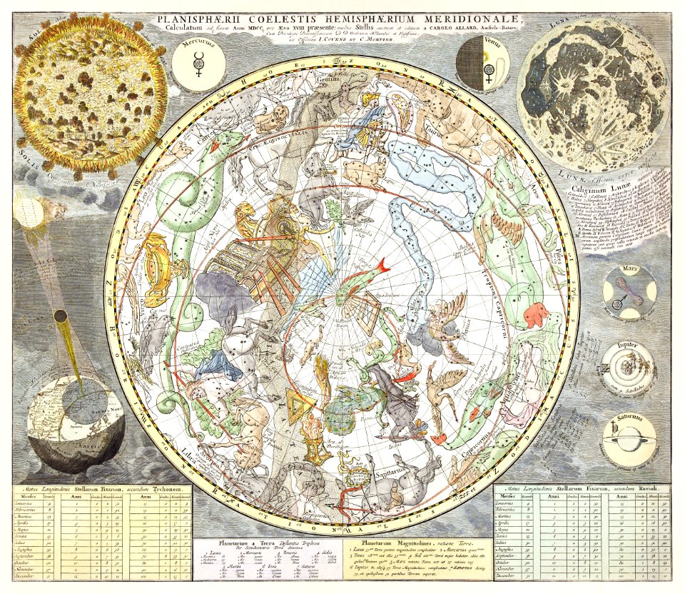
star location maps
andreas cellarius
maps of the dutch east india company - indonesia
maps in the library of congress
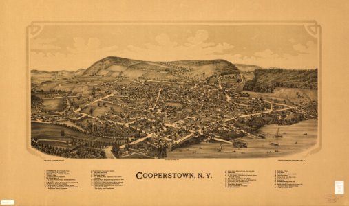
1890 maps of new york (state)
maps in the library of congress
1890 maps of new york (state)
maps by sebastian münster
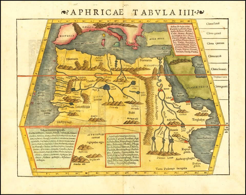
ptolemy's 4th african map
charts and maps of the royal museums greenwich
1682 maps
charts and maps of the royal museums greenwich
1682 maps
maps in the library of congress
1890 maps of new york (state)
maps of the west-indische compagnie
1727
maps of the senegal river
1745
old maps of the dutch east india company
1705
maps of the west-indische compagnie
1668
old maps of the dutch east india company
1786
maps of the west-indische compagnie
1647
maps of the west-indische compagnie
1647
maps of the west-indische compagnie
1647
maps of the west-indische compagnie
1635
maps of the west-indische compagnie
1745
maps of the west-indische compagnie
1747)
maps of the west-indische compagnie
1773
maps of the west-indische compagnie
1780
vermont
brandon
charts and maps of the royal museums greenwich
1682 maps
provided by landsbókasafn íslands
maps made in the 16th century
charts and maps of the royal museums greenwich
1682 maps
charts and maps of the royal museums greenwich
1682 maps
a map of imola (rcin 912284)
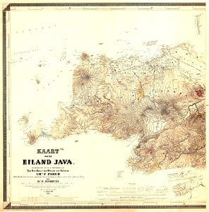
maps of west java
1855 maps
old maps of southeast asia
description de l'universe
maps in london labour and the london poor (1851)
maps in london labour and the london poor (1851)
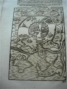
illustrations of cosmographia (münster)
old map
old maps of earth's hemispheres
1839 maps
old maps of livorno
cornelis meyer
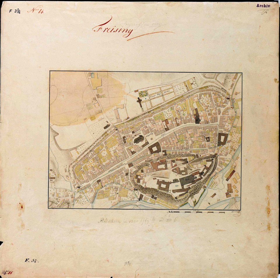
maps by royal bavarian land tax commission
old maps of freising
maps by jacob van deventer
old maps of gistel
maps with cartouches
atlas van der hagen
maps with cartouches
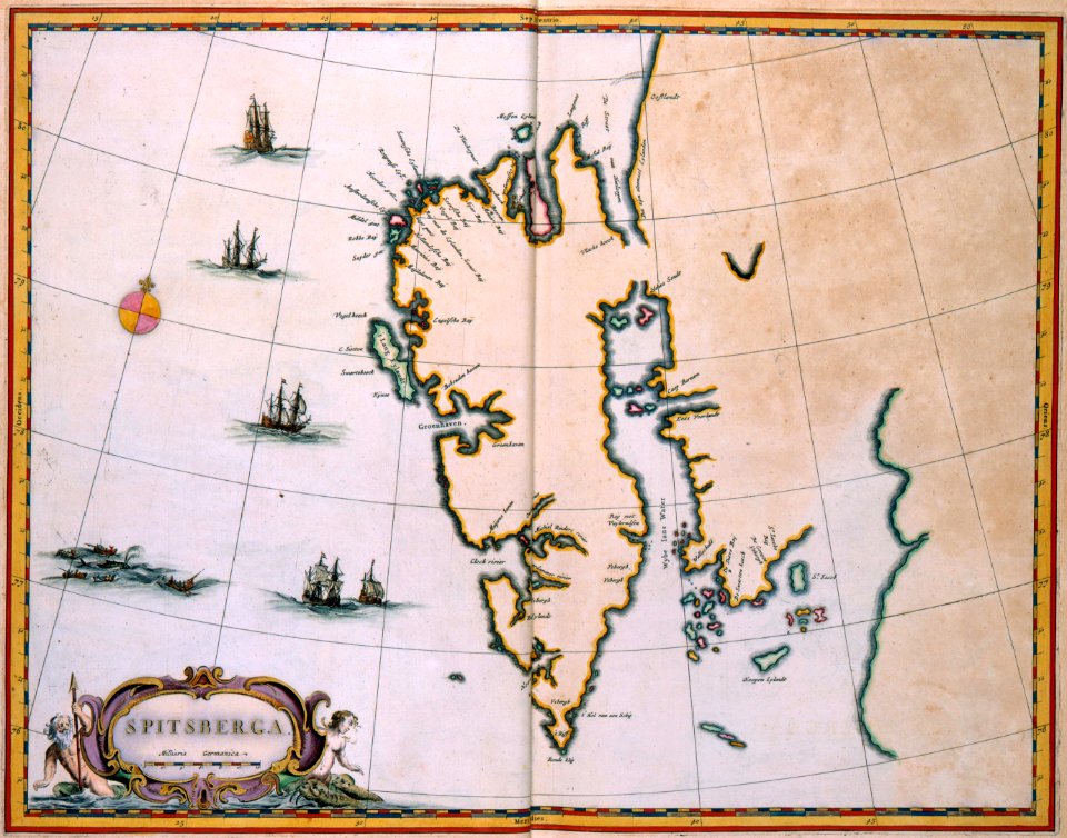
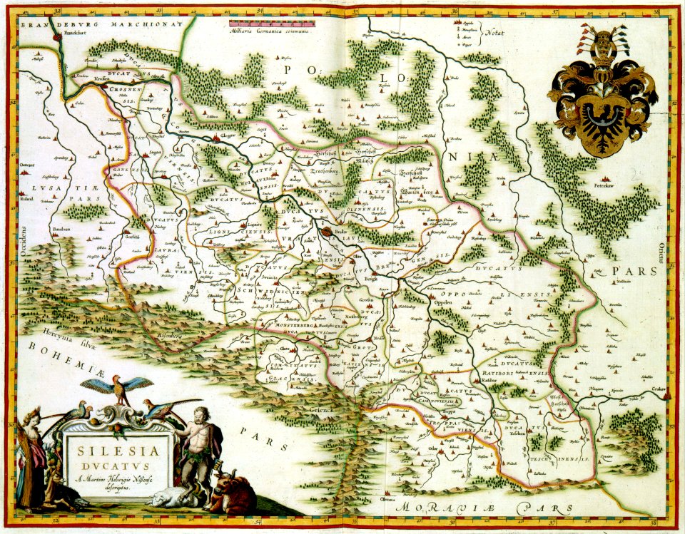
old maps of silesia
maps with cartouches
ships on maps
old maps of scandinavia
johannes ratelband
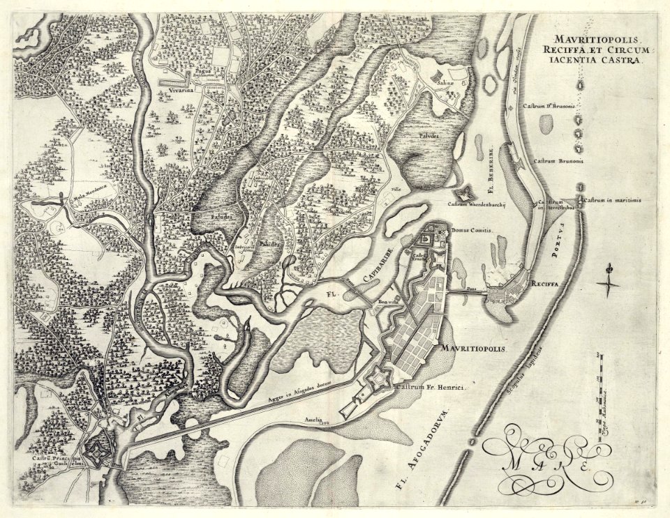
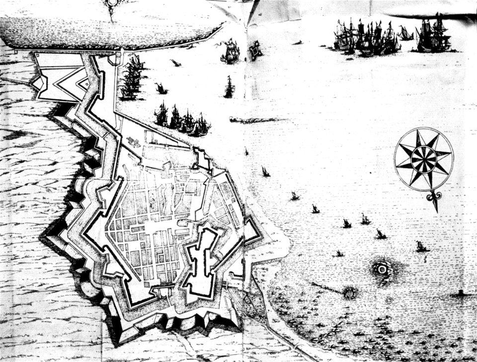
17th-century fortress plans
coats of arms on maps
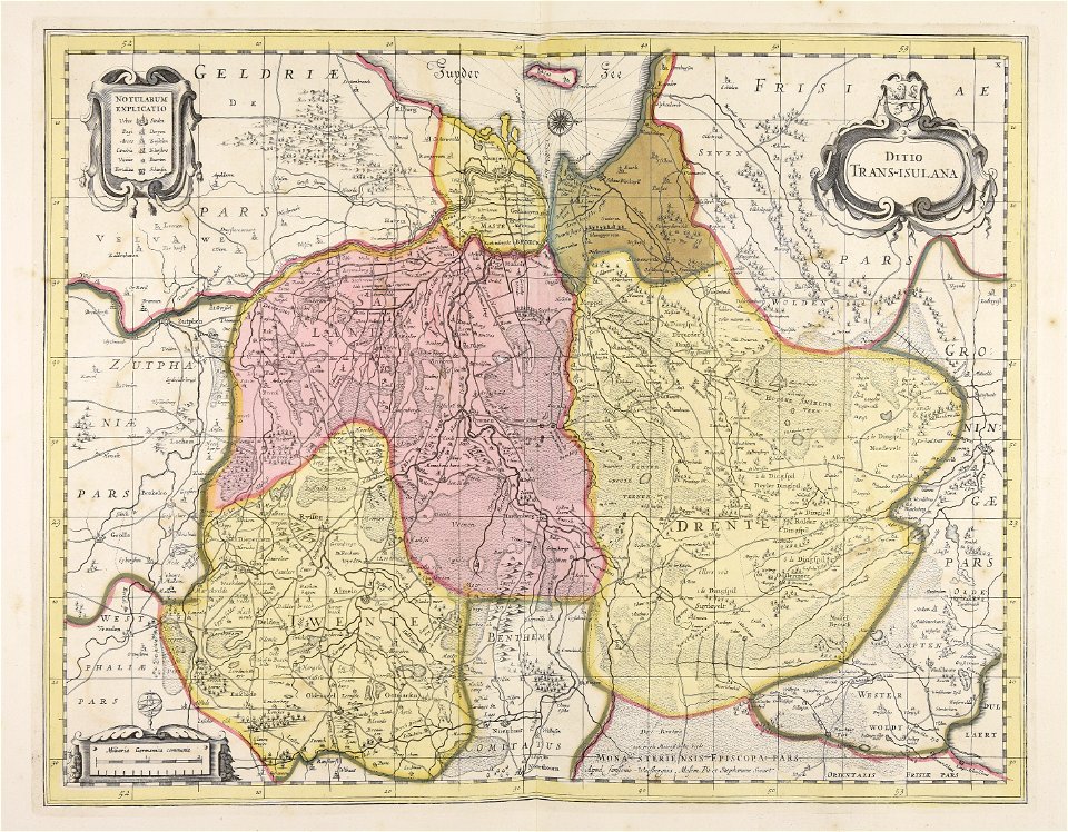
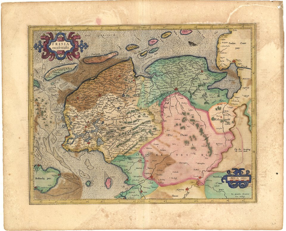
old maps of overijssel
old maps of drenthe
maps in the library of congress
washington
pleasant hill
missouri
maps in the library of congress
washington
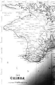
old maps of crimea
1856 maps
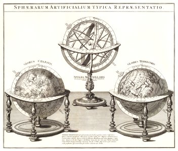
globe
maps
maps
man
koninklijk nederlands aardrijkskundig genootschap
map collection frederik muller & co
old maps of nuremberg
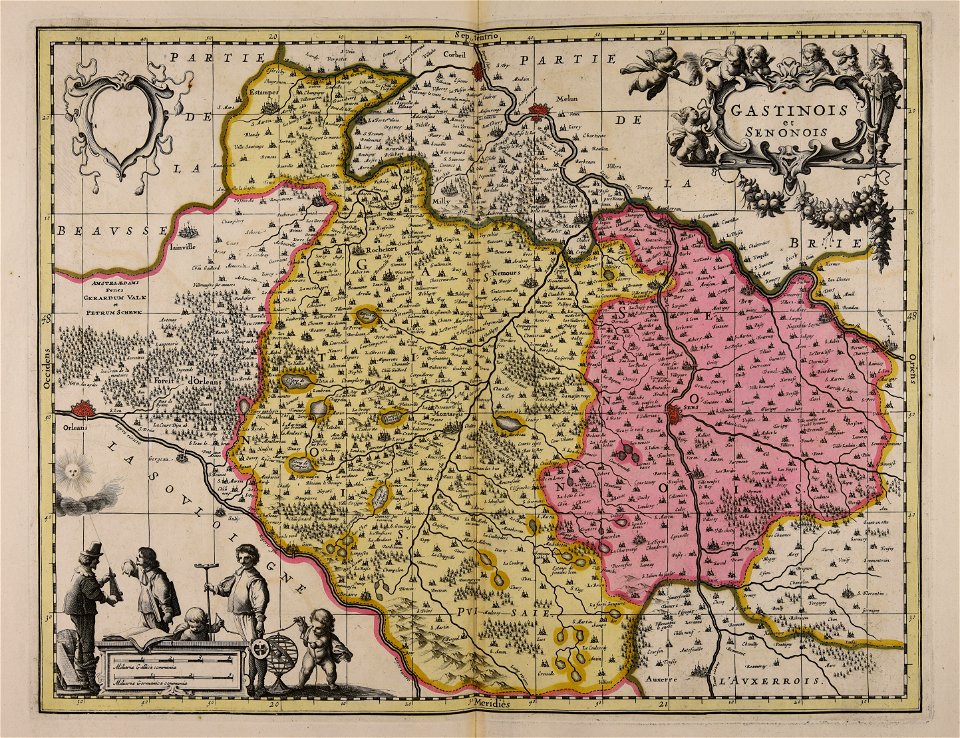
gerard valck
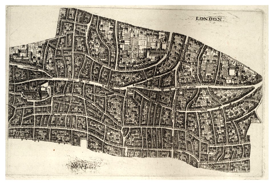
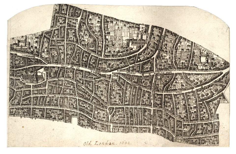
university of toronto wenceslas hollar digital collection
hollar maps and plans of london
university of toronto wenceslas hollar digital collection
hollar maps and plans of london
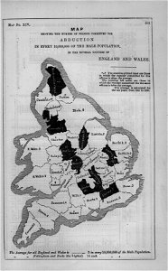
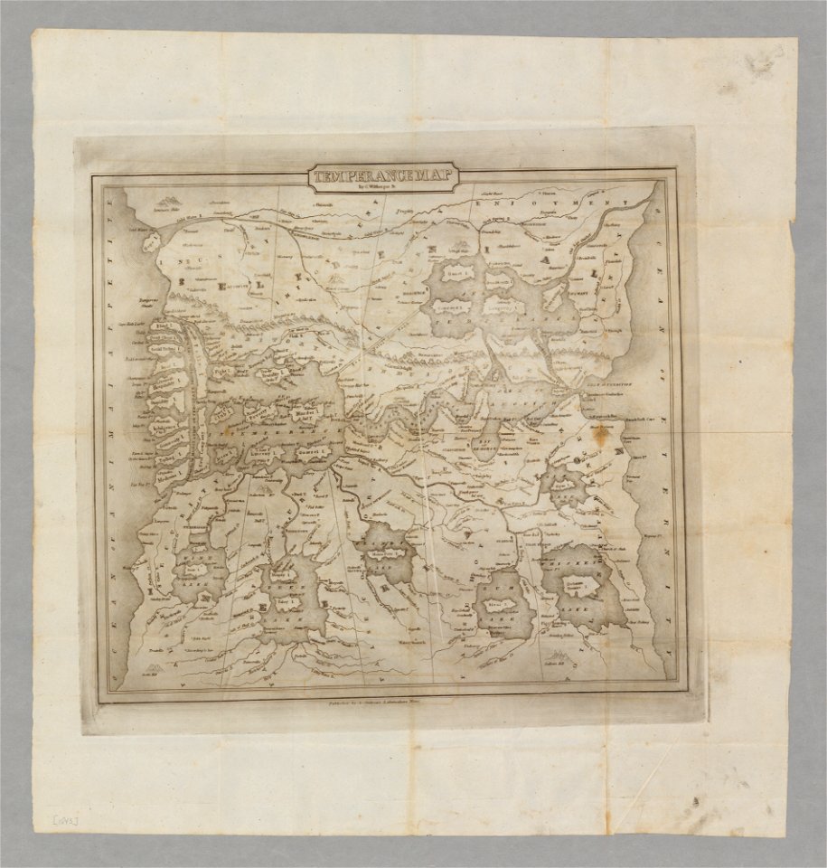
temperance movement
jr
maps made in the 17th century
gerard valck
koninklijk nederlands aardrijkskundig genootschap
map collection frederik muller & co
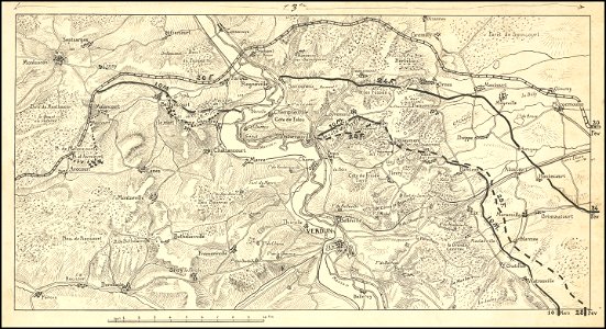
hand-drawn maps and views of world war i battlefields by h.m.
western front maps of world war i
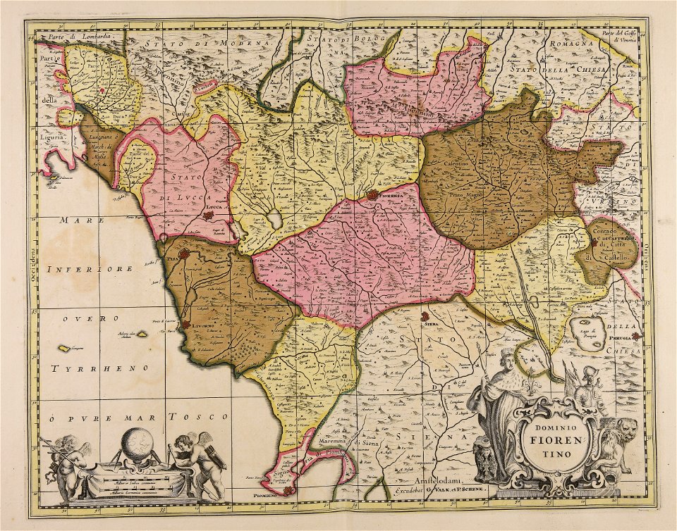
maps made in the 17th century
gerard valck
maps made in the 17th century
maps by nicolaes visscher i
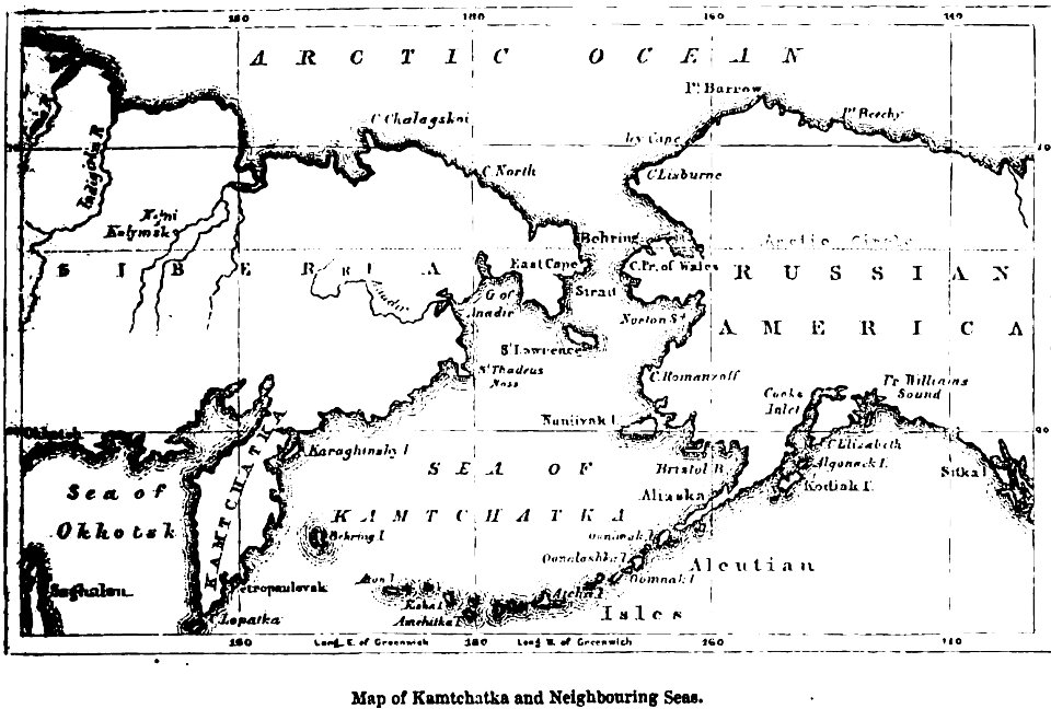
maps of kamchatka
1856 maps
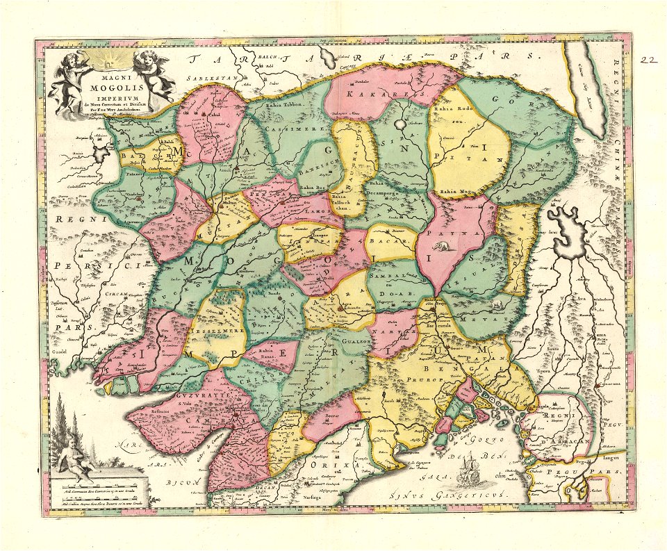
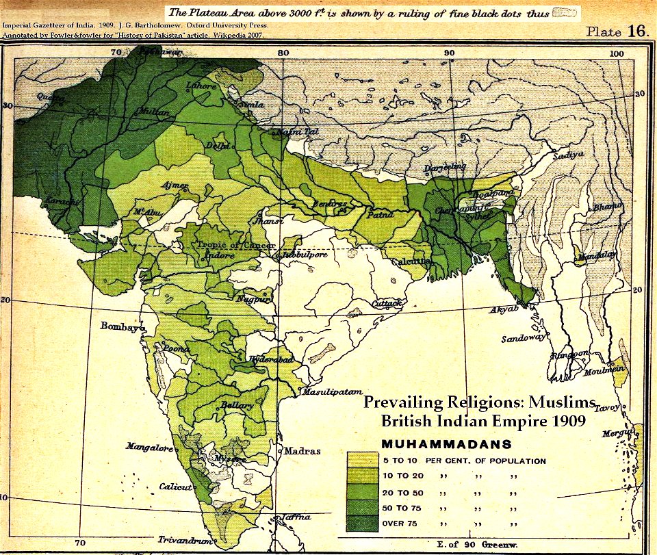
old maps of the indian subcontinent
dominion of india
old maps of styria
gerard valck
maps made in the 17th century
gerard valck
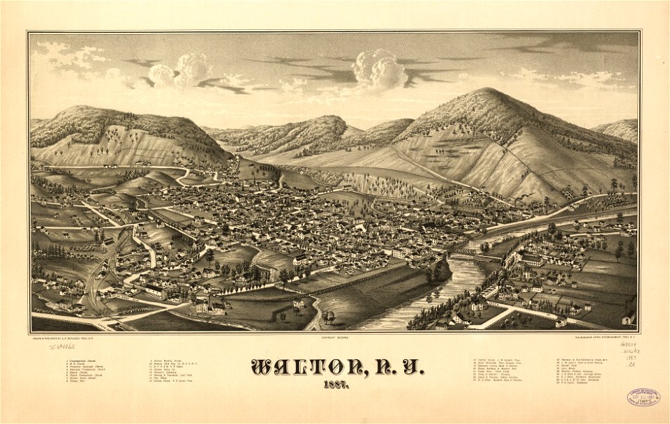
new york
walton
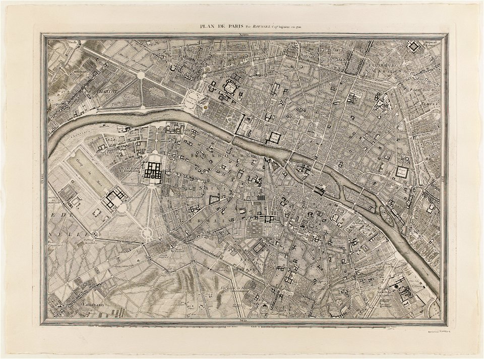
maps of paris from paris musées
plan de roussel
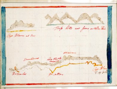
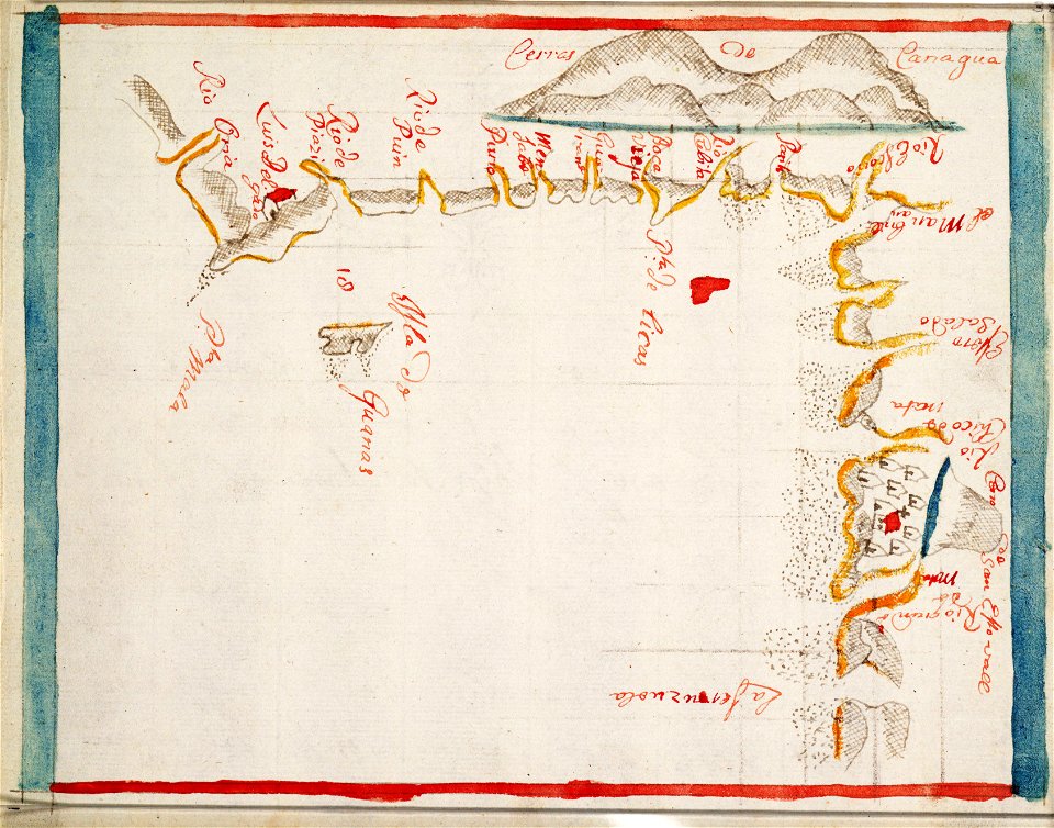
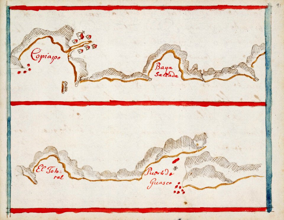
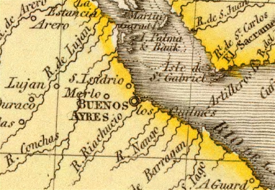
old maps of the río de la plata
1812 maps
astronomy
maps
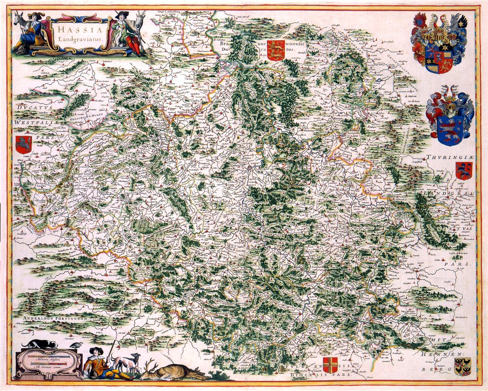
maps with cartouches
old maps of hesse
maps with cartouches
atlas van der hagen
7001 - 7100 of 357,549
Next page
/ 3576