Log in
All resources
Create a design
357,544 Free Images of Mapping
maps made in the 17th century
description de l'universe
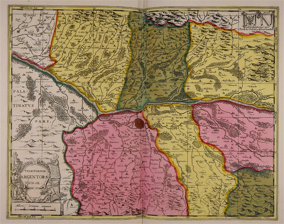
maps by pieter schenk (i)
gerard valck
maps in the british museum
charts and maps of the royal museums greenwich
atlantis magni tomus tertius (biblioteca comunale di trento)
1682 maps
maps
maps with cartouches
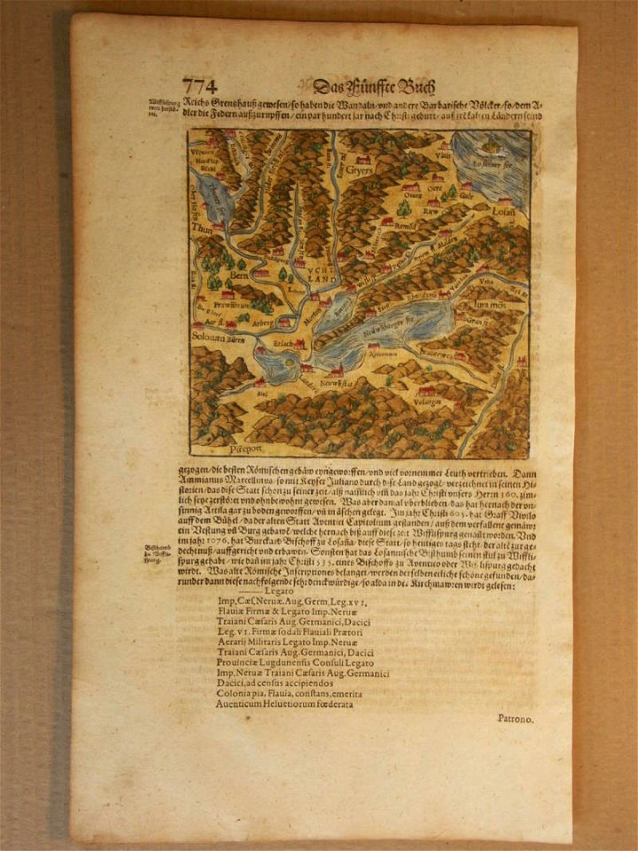
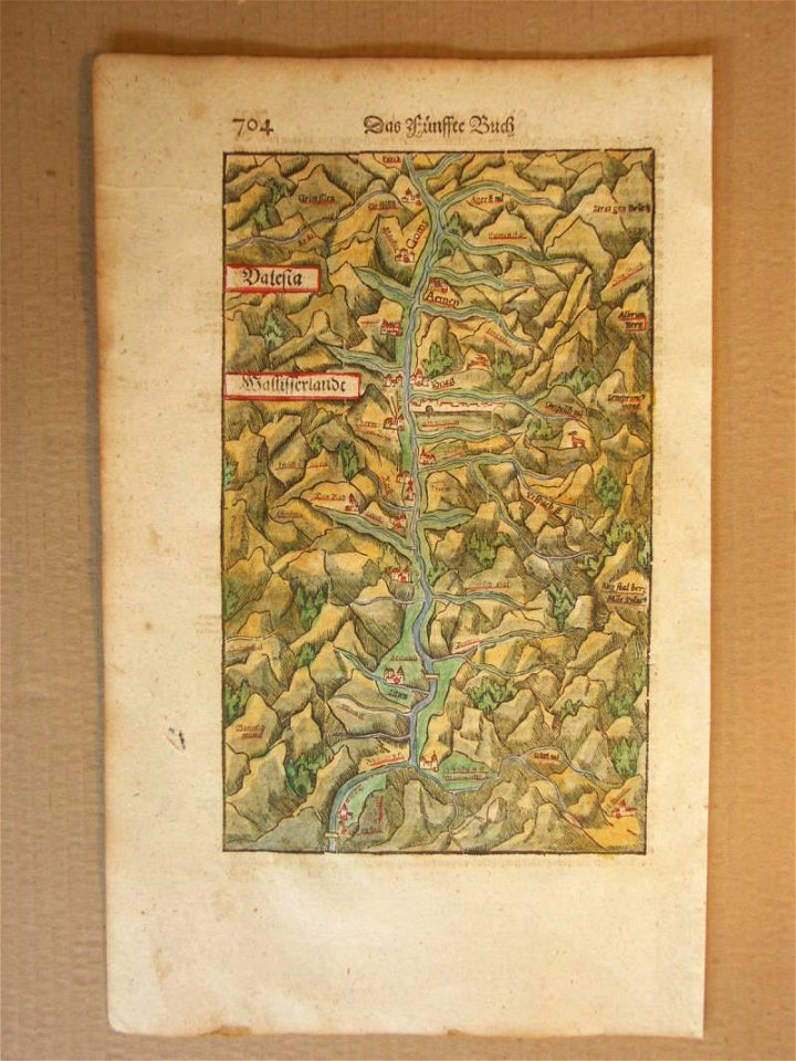
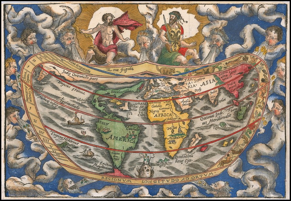
cosmographia (1600) by sebastian münster
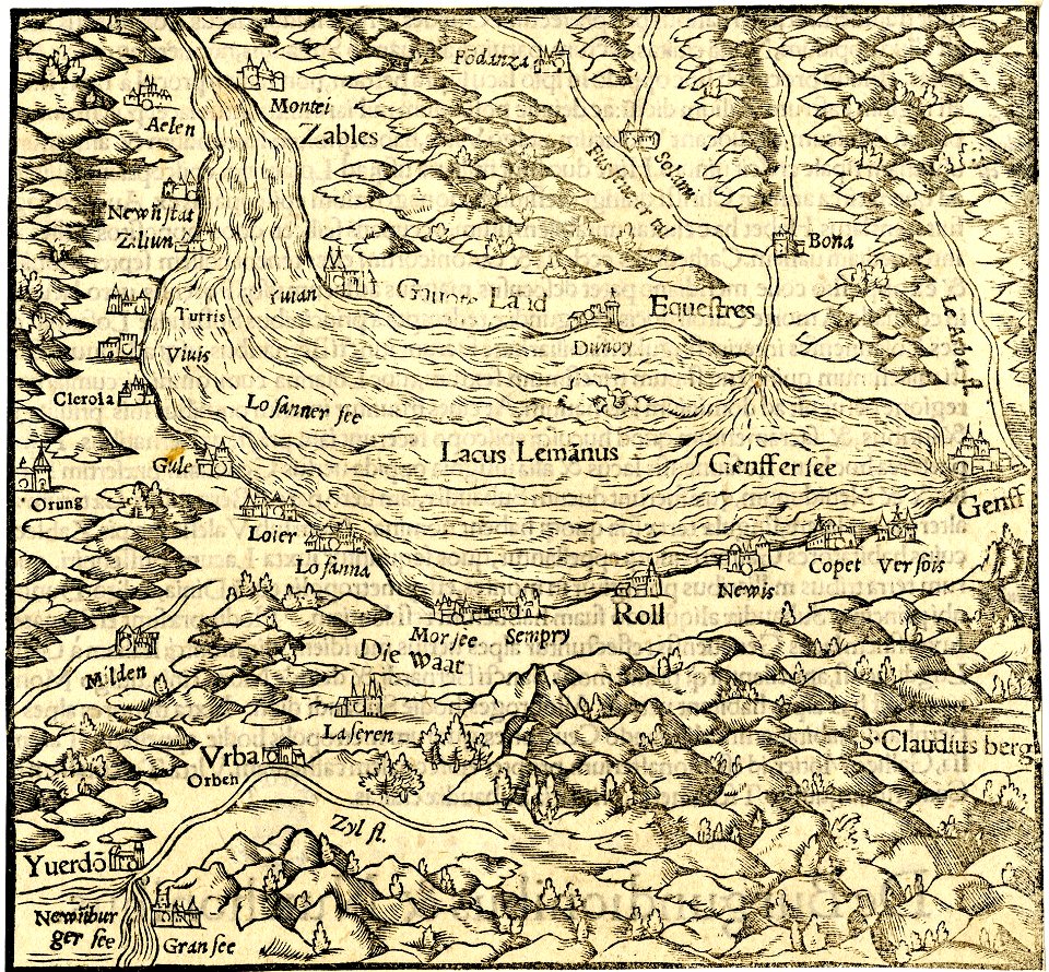
old maps of switzerland
cosmographia (1600) by sebastian münster
old maps of switzerland
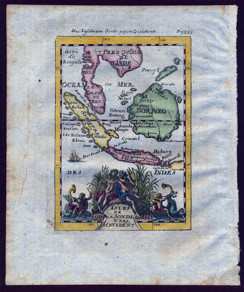
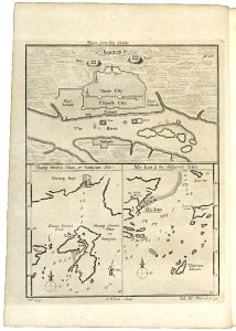
old maps of southeast asia
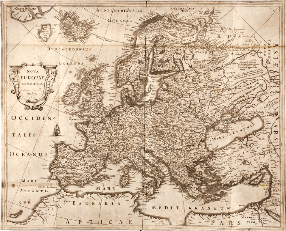
description de l'universe
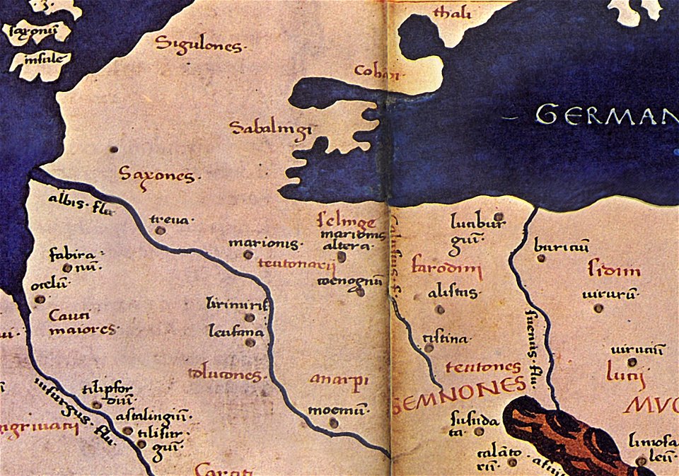
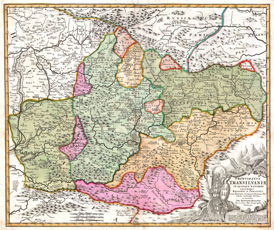
maps of germania magna
details of old maps
maps by coronelli
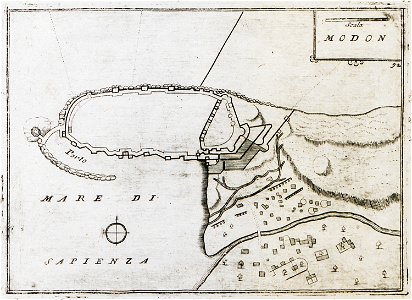
methoni castle
description de l'universe
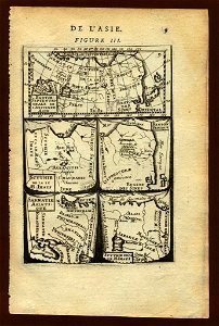
old maps of asia
description de l'universe
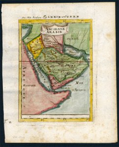
old maps of saudi arabia
description de l'universe
old maps of saudi arabia
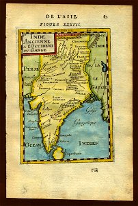
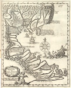
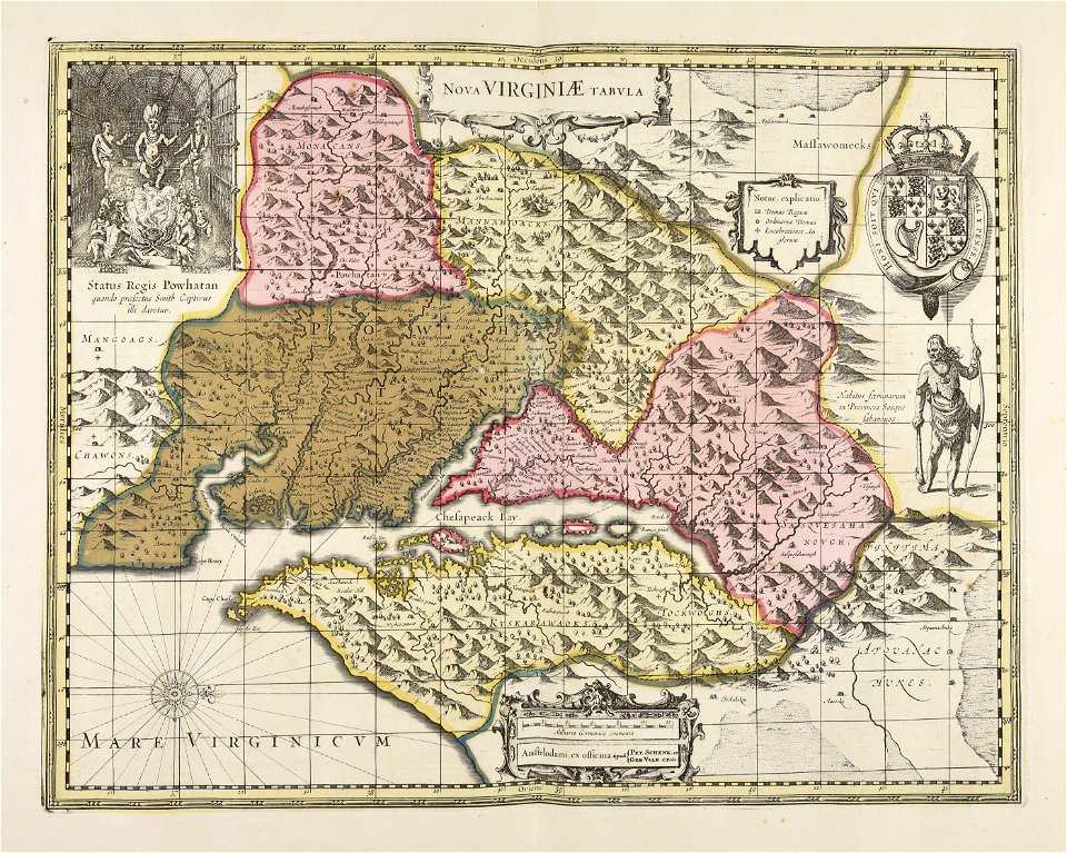
17th-century maps of india
description de l'universe
cosmographia (1600) by sebastian münster
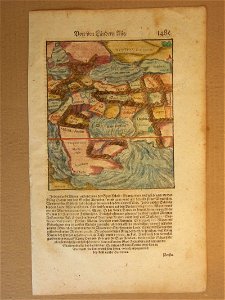
1600 maps of iran
description de l'universe
old maps of sri lanka
description de l'universe
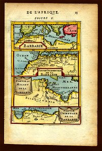
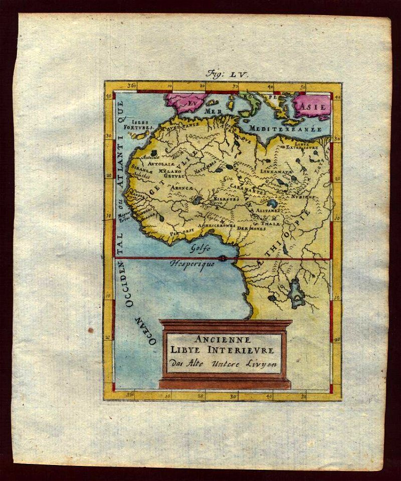
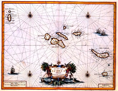
1683 maps of africa
illustrations of cosmographia (münster)
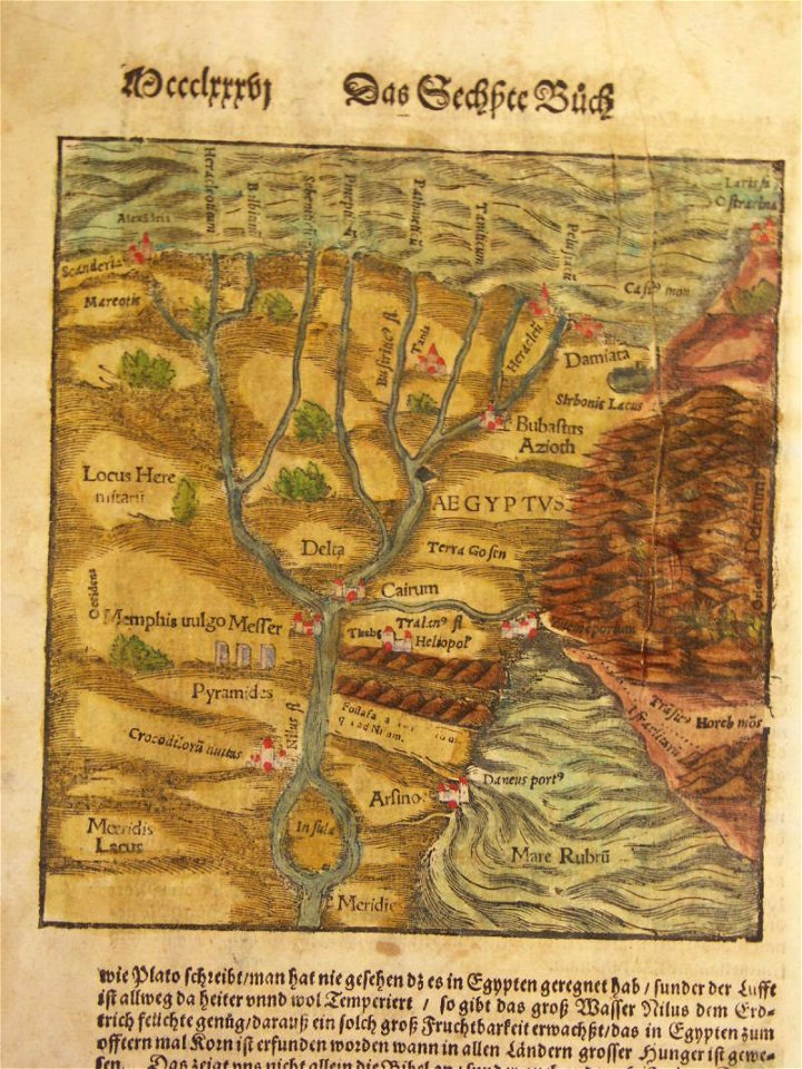
1580s maps of egypt
description de l'universe
old maps of asia
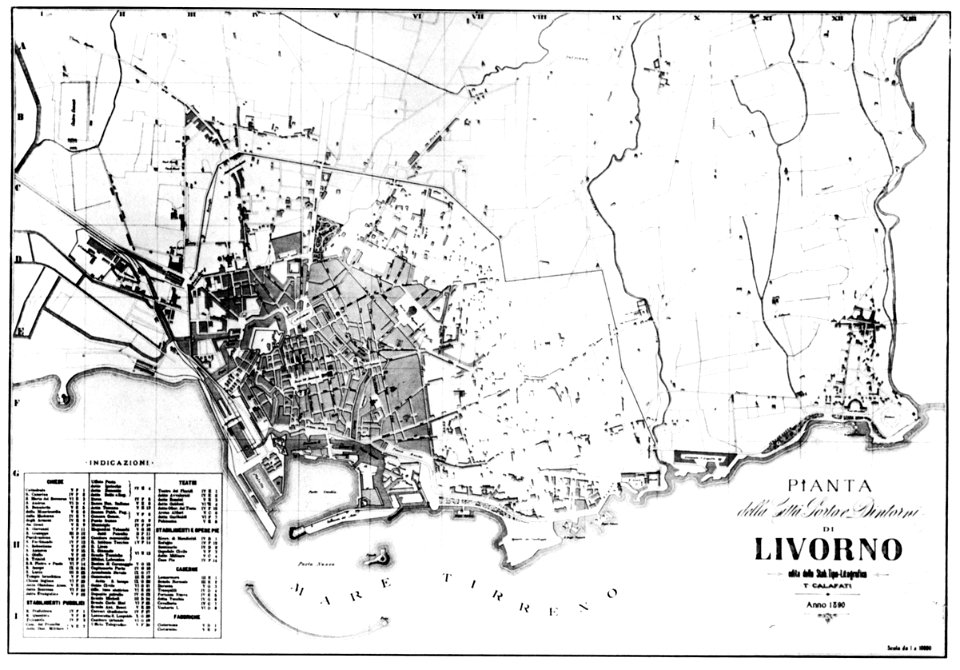
old maps of livorno
lepsius-projekt - maps
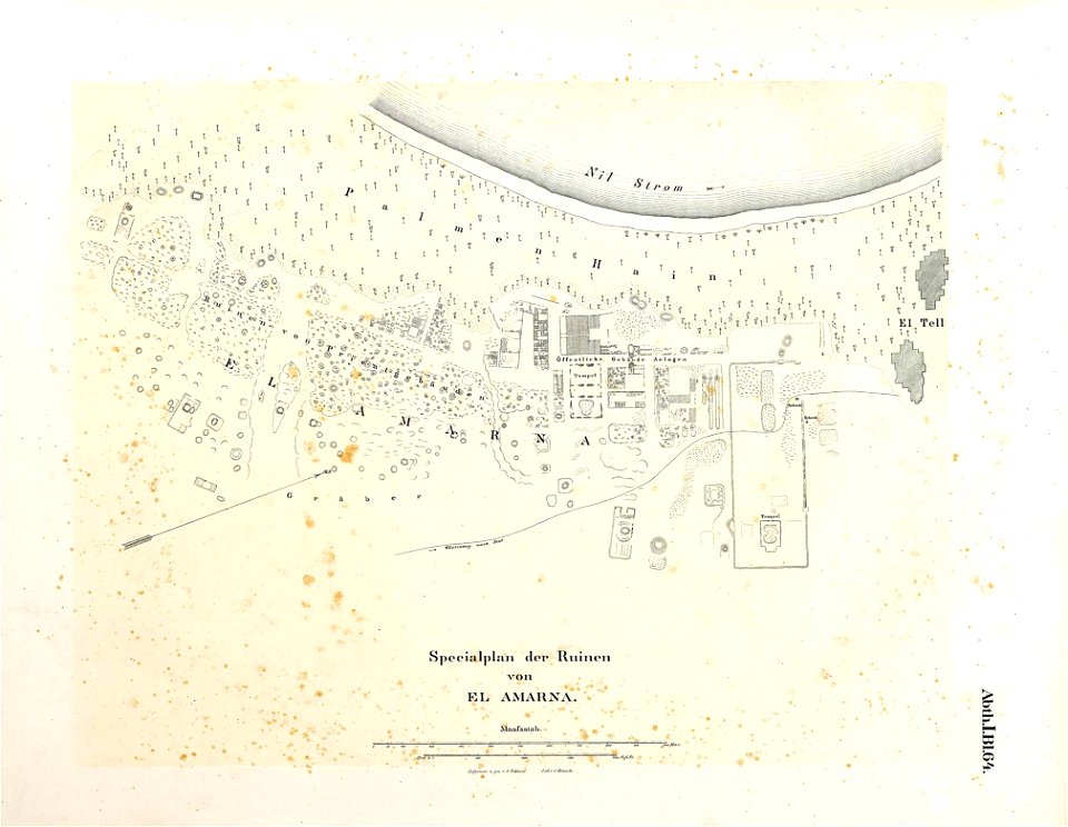
maps of akhetaten
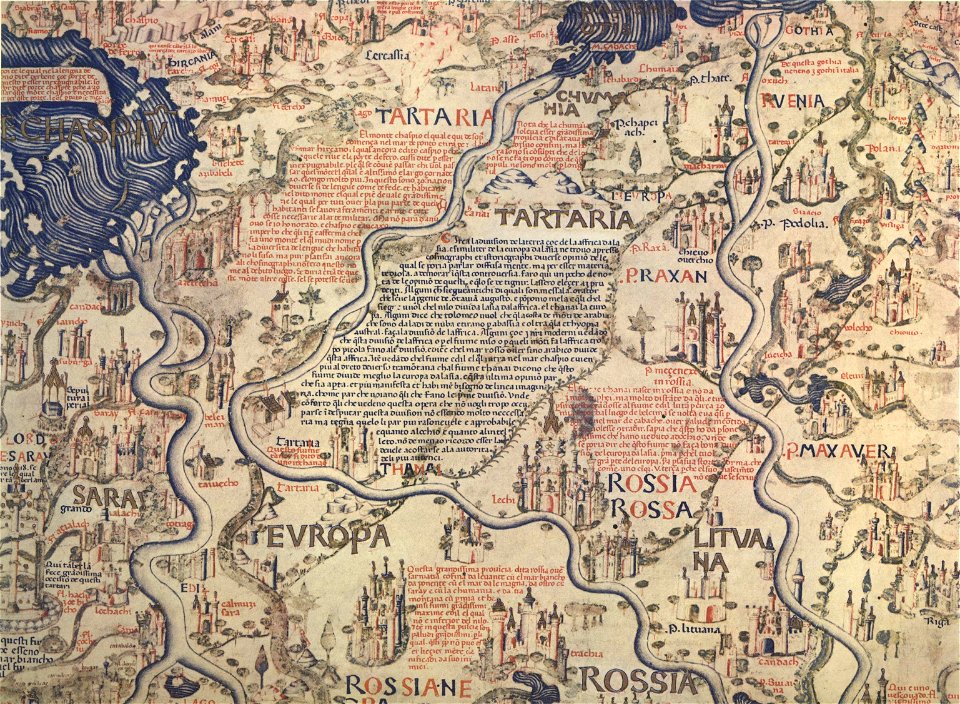
fra mauro map
charts and maps of the royal museums greenwich
1682 maps
charts and maps of the royal museums greenwich
1682 maps
collections of generallandesarchiv karlsruhe
1680 maps of baden-württemberg
flandria illustrata
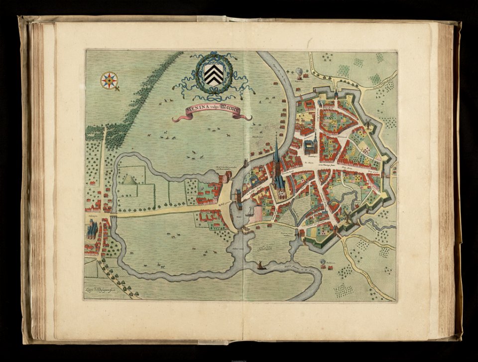
old maps of menen
charts and maps of the royal museums greenwich
1682 maps
maps with stab-werner projection
petrus apianus
charts and maps of the royal museums greenwich
1682 maps
maps in the british museum
maps in the british museum
maps in the british museum
maps in the british museum
maps in the british museum
maps in the british museum
maps in the british museum
maps in the british museum
charts and maps of the royal museums greenwich
1682 maps
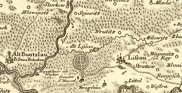
details of müller's map of bohemia
maps of stará lysá
description de l'universe
1719 maps of africa
17th-century maps of india
description de l'universe
maps by sebastian münster
ptolemy's 1st asian map
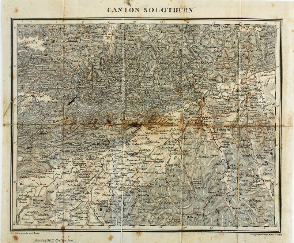
maps of the canton of solothurn
old maps of switzerland
charts and maps of the royal museums greenwich
1682 maps
space
maps
earth
maps
crowned eagles argent
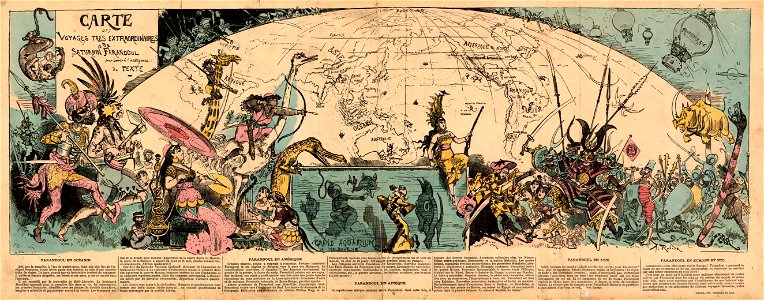
pictorial maps
world map
maps
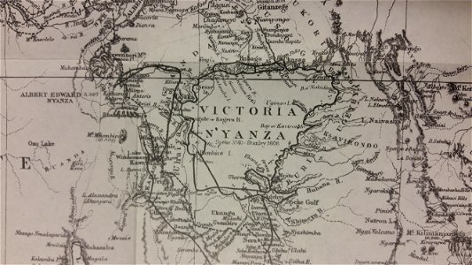
through the dark continent
lake victoria
color engravings
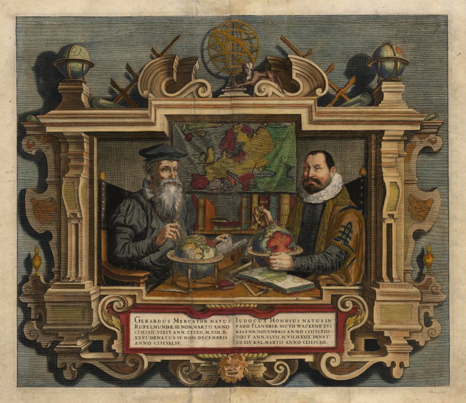
jodocus hondius
gerard valck
cina
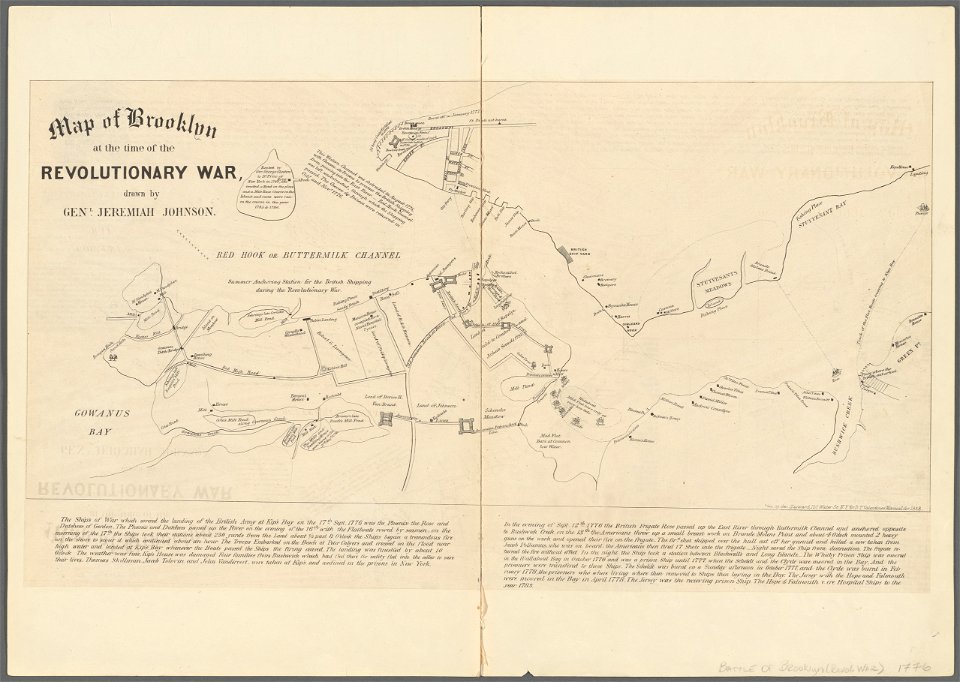
battle of long island
new york city
maps by willem and johannes blaeu
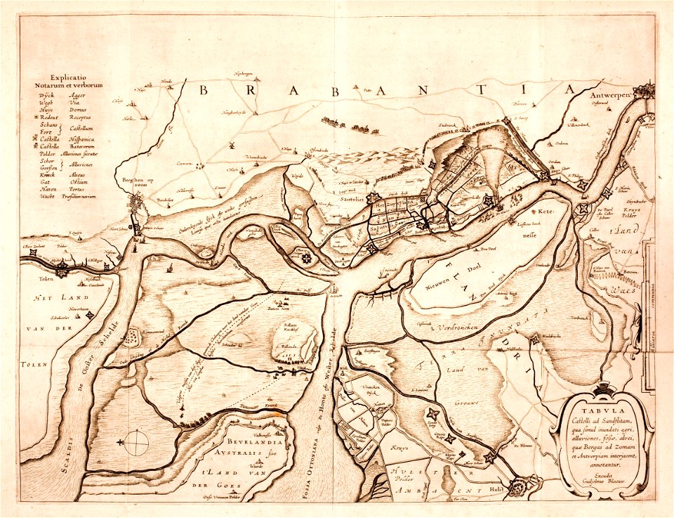
lillo
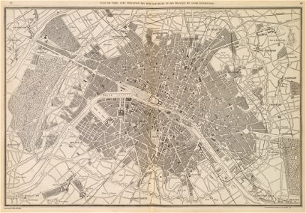
l'illustration
1853
maps
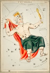
man
maps
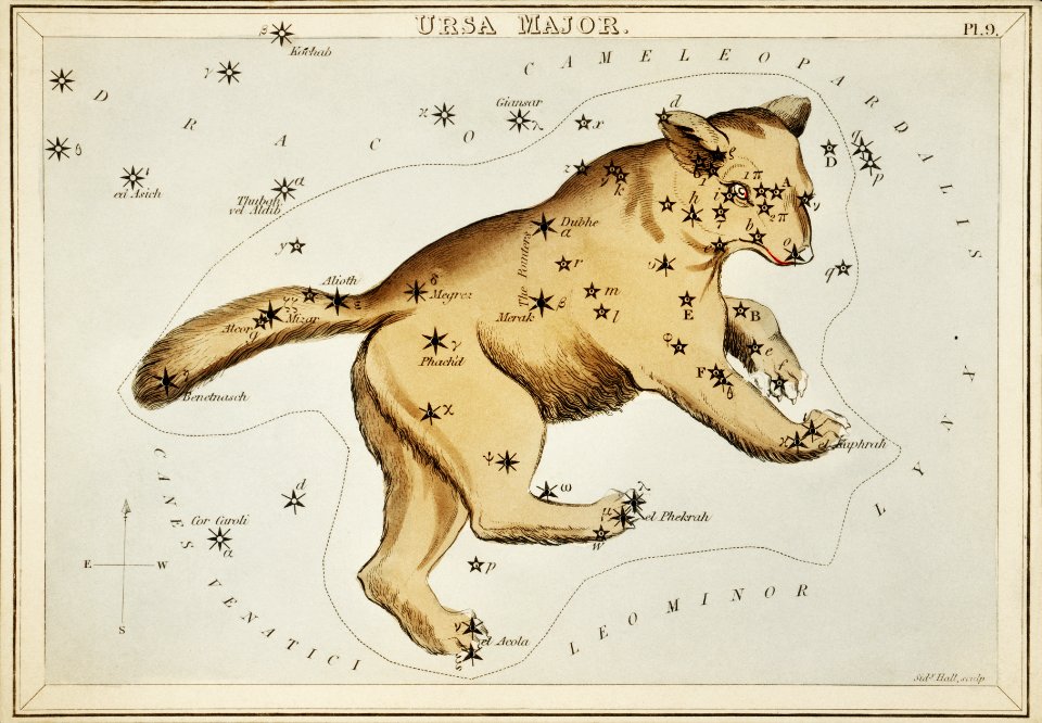
bear
globe
maps
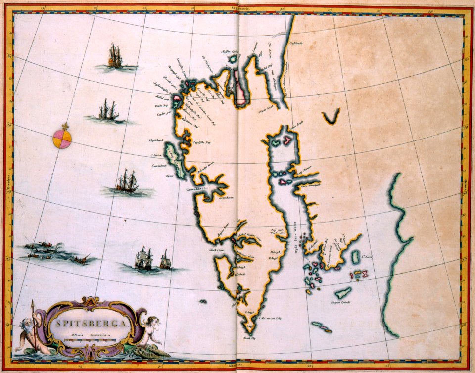
old maps of scandinavia
johannes ratelband
johann baptist homann
latin-language maps
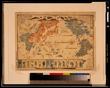
ukiyo-e by unknown artists
1800s maps of the world
maps with cartouches
atlas van der hagen
atlantis magni tomus primus (biblioteca comunale di trento)
17th-century maps of schleswig-holstein
maps made in the 17th century
gerard valck
trịnh lords
1718)
maps in the library of congress
washington
maps in the library of congress
washington
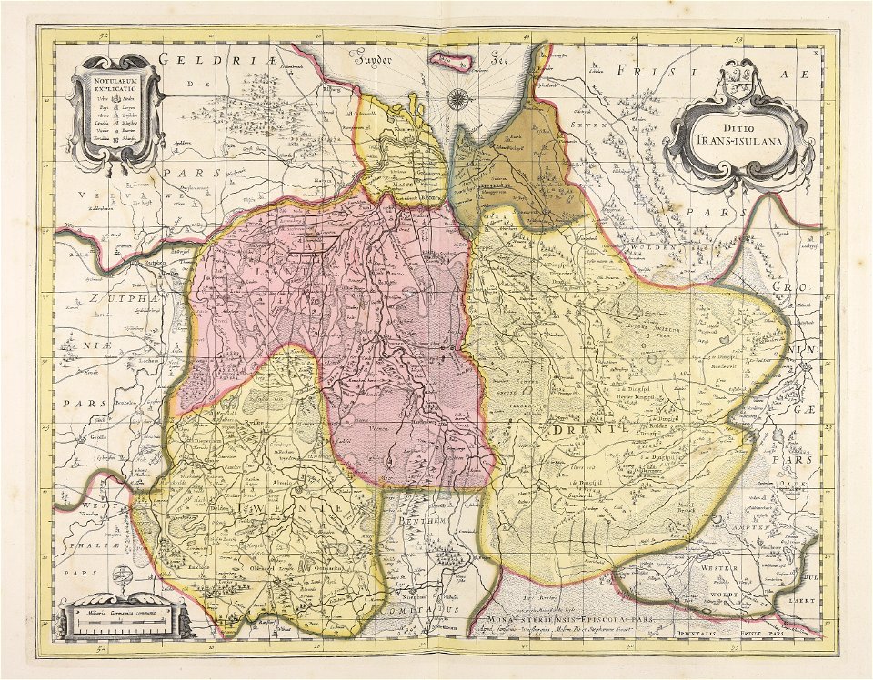
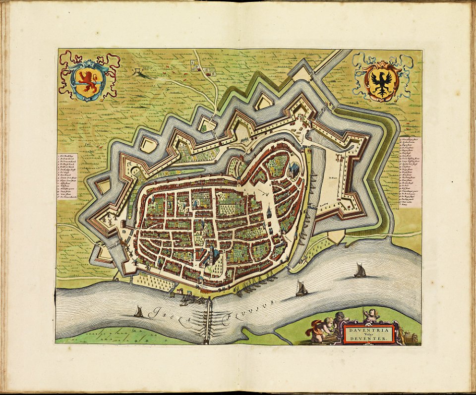
old maps of overijssel
old maps of drenthe
maps made in the 17th century
gerard valck
maps made in the 17th century
gerard valck
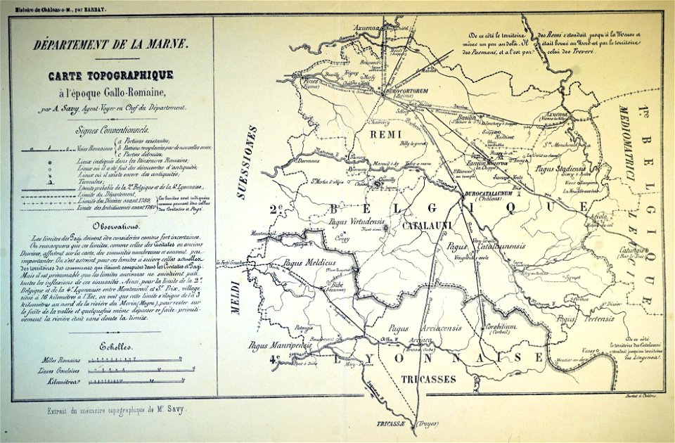
bibliothèque municipale de reims
maps relating to celts
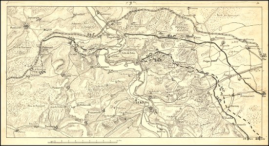
hand-drawn maps and views of world war i battlefields by h.m.
western front maps of world war i
koninklijk nederlands aardrijkskundig genootschap
map collection frederik muller & co
old maps of asia
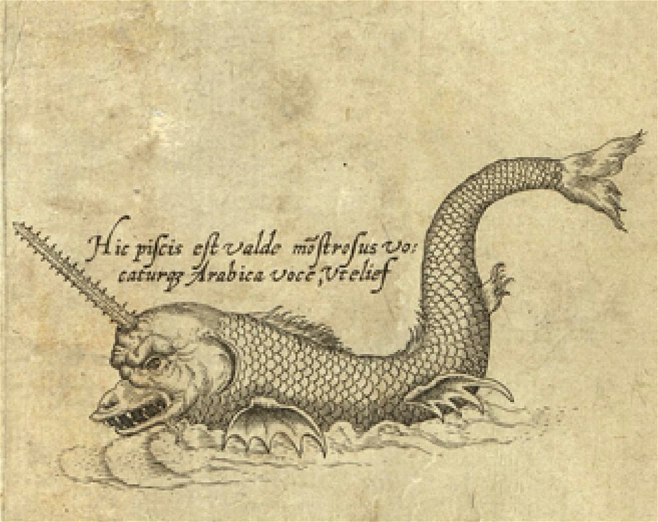
sea monster
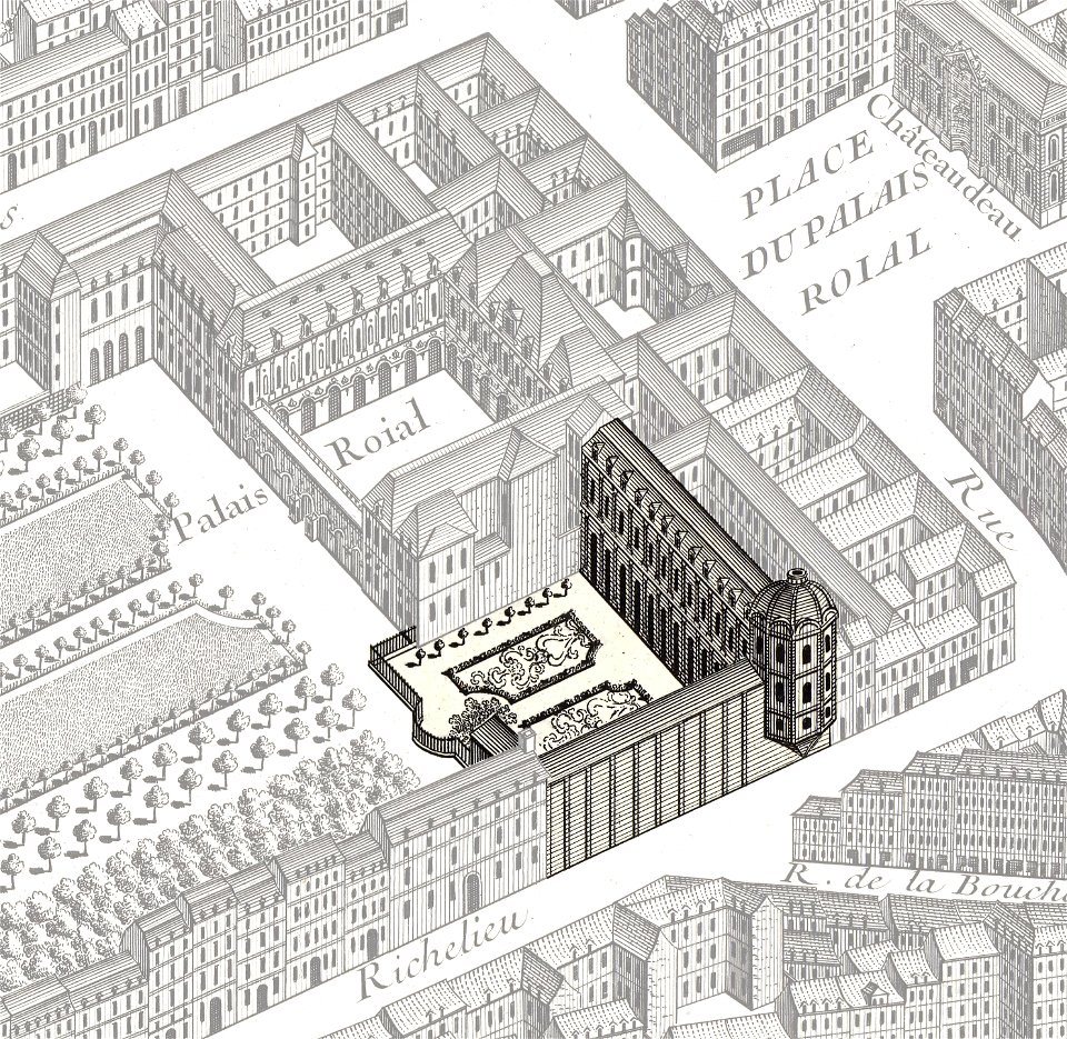
turgot map of paris
palais-royal
old maps of nuremberg
gerard valck
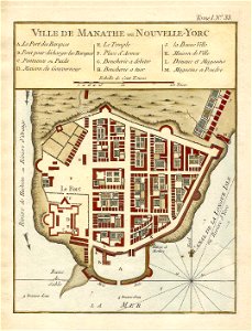
new york
1891 map
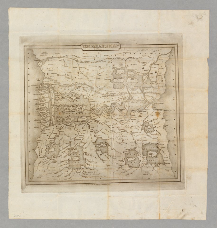
temperance movement
jr
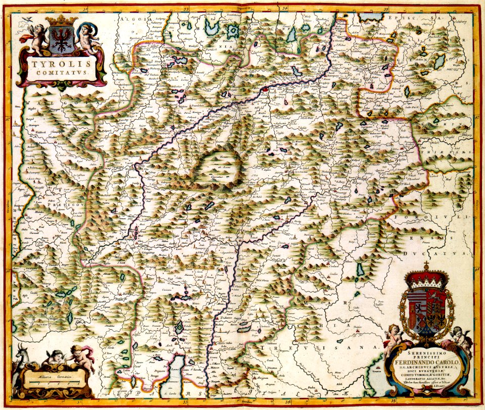
maps made in the 17th century
gerard valck
tattoo
star
maps with cartouches
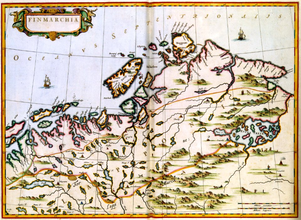
finland
maps with cartouches
copper engraving
prints from dankaerts historis at the peace palace library
cornelis danckerts (i)
17th-century fortress plans
coats of arms on maps
maps made in the 17th century
gerard valck
maps made in the 17th century
maps by pieter schenk (i)
the northern hemisphere of the celestial globe by albrecht dürer
old celestial maps
maps in the library of congress
new york
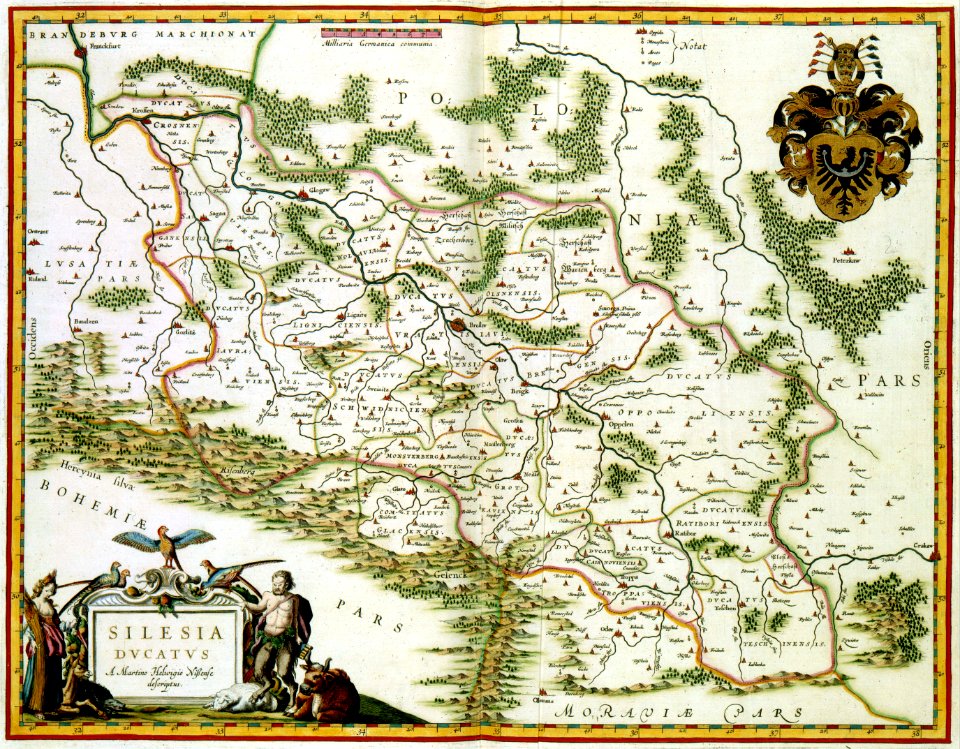
old maps of silesia
gerard valck
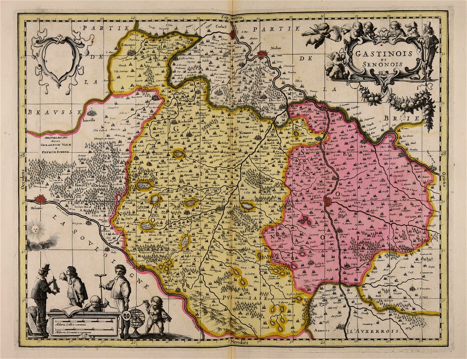
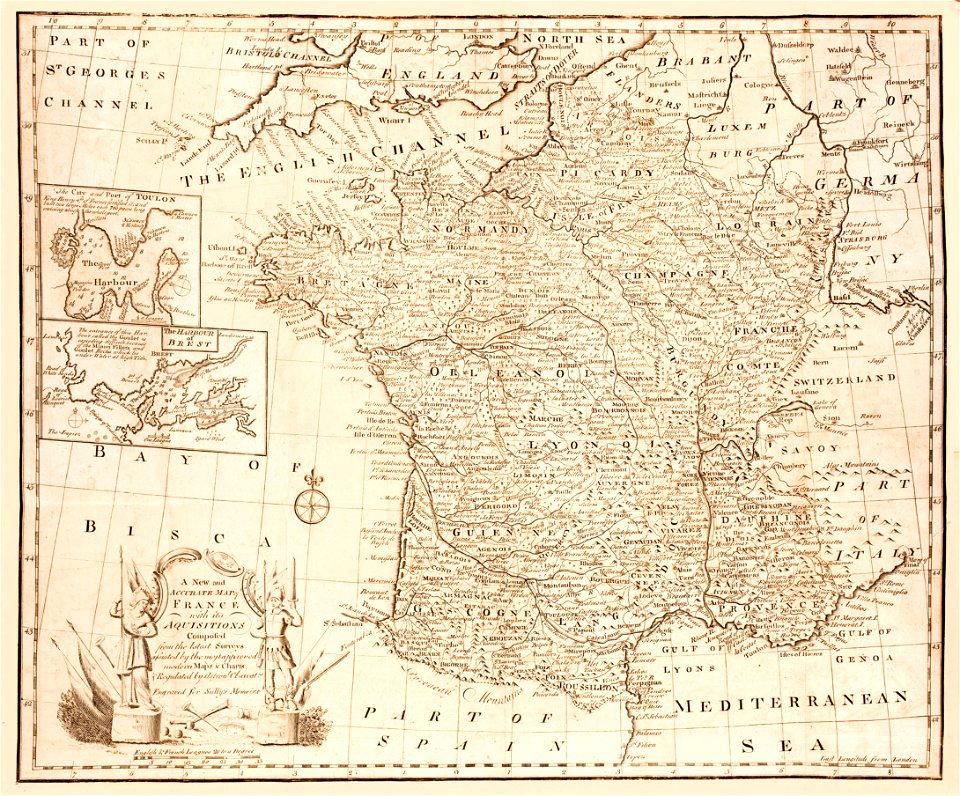
old maps of france
old maps of brest
koninklijk nederlands aardrijkskundig genootschap
map collection frederik muller & co
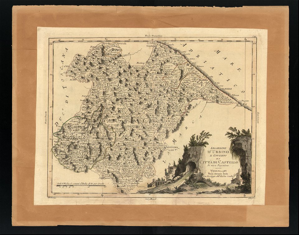
maps in the biblioteca federiciana
old maps of marche
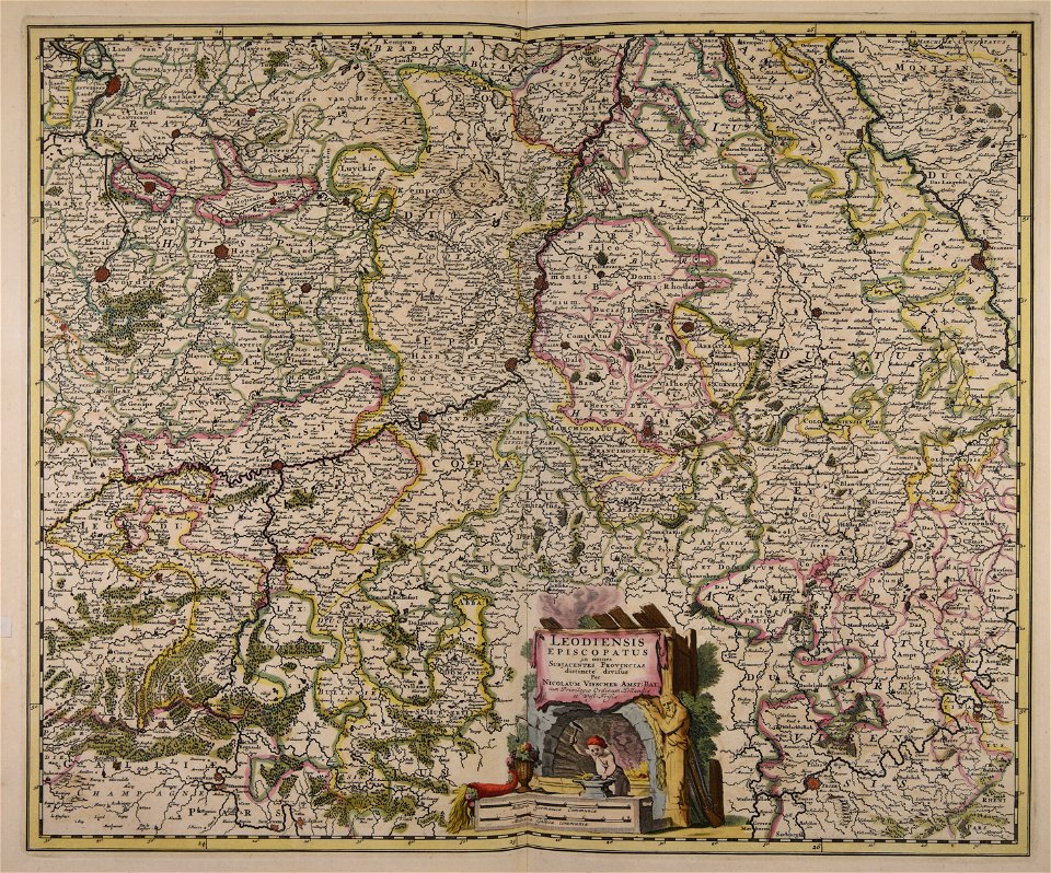
maps made in the 17th century
maps by nicolaes visscher i
maps made in the 17th century
gerard valck
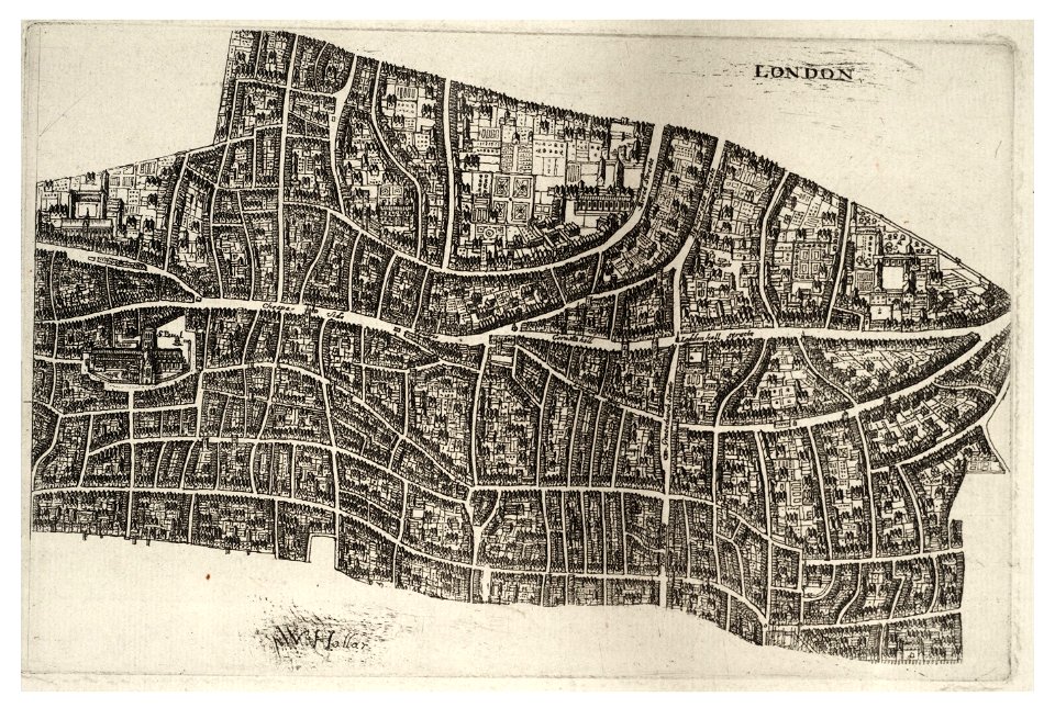
university of toronto wenceslas hollar digital collection
hollar maps and plans of london
maps made in the 17th century
maps by nicolaes visscher i
maps with cartouches
old maps of silesia
maps with cartouches
atlas van der hagen
maps with cartouches
ships on maps
old maps of guangzhou
1745
ukiyo-e by unknown artists
1800s maps of the world
lower manhattan
new york city
french-language maps
pictorial maps
pleasant hill
missouri
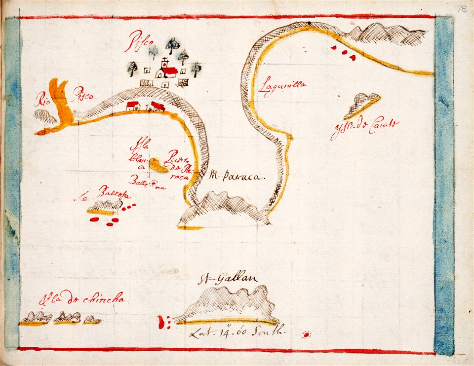
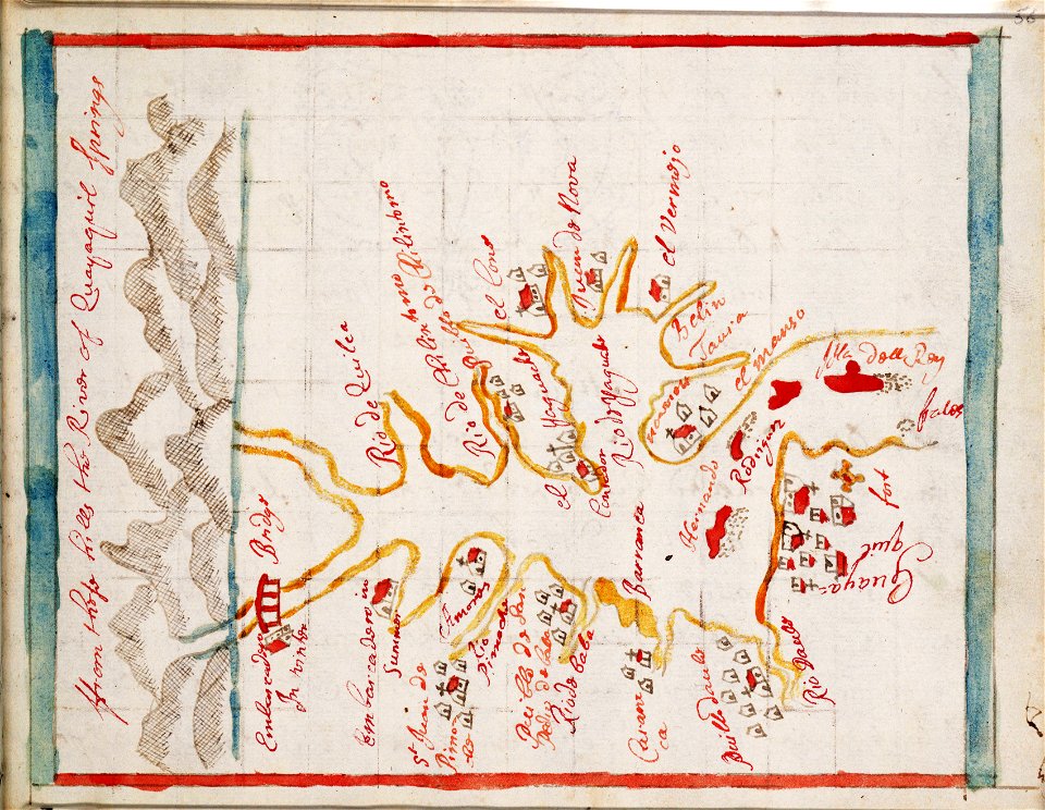
hand-drawn maps and views of world war i battlefields by h.m.
old maps of the english channel
hand-drawn maps and views of world war i battlefields by h.m.
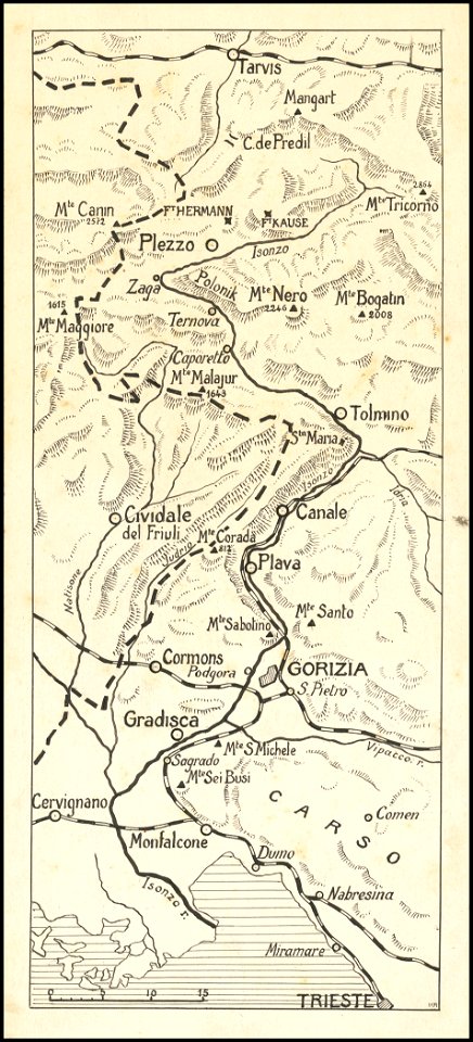
maps of world war i - italian front
6901 - 7000 of 357,544
Next page
/ 3576