Log in
All resources
Create a design
376,713 Free Images of Mapping
maps in the library of congress
charts and maps of the royal museums greenwich
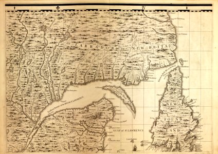
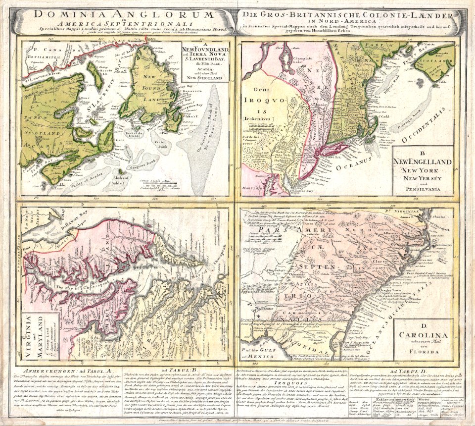
a map of the british empire in america with the french and spanish settlements adjacent thereto
1682 maps
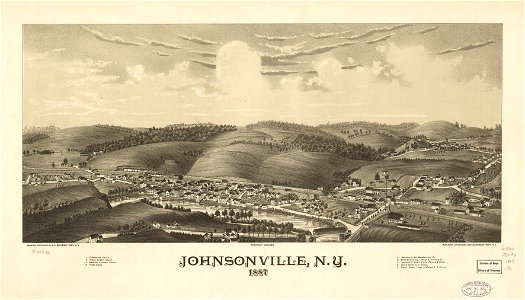
new york
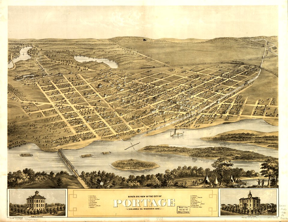
l. r. burleigh
town maps by l. r. burleigh
1887 maps of new york (state)
maps in the british museum
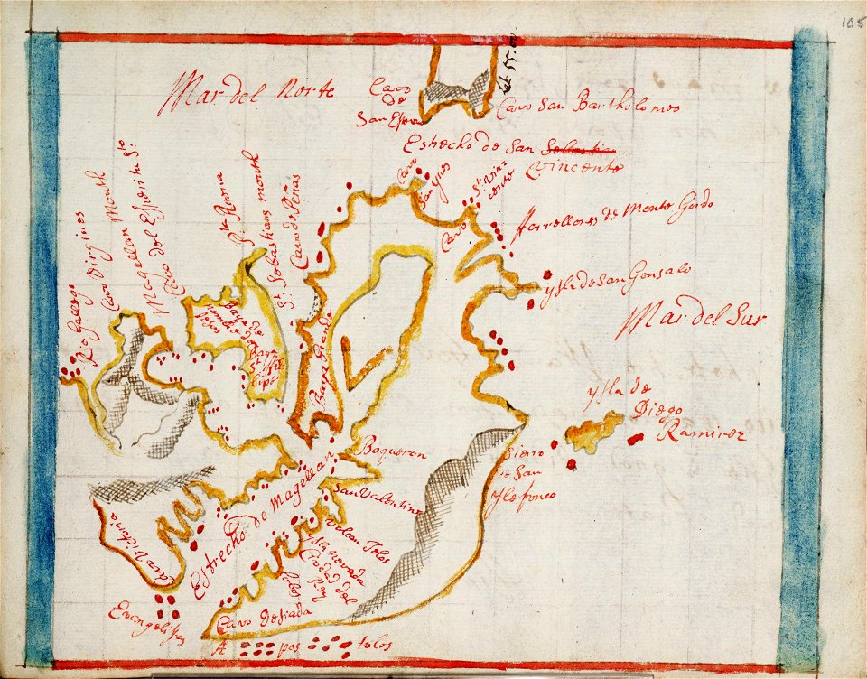
maps made in the 17th century
a map of the british empire in america with the french and spanish settlements adjacent thereto
maps in the library of congress
maps of the dutch east india company - indonesia
1724
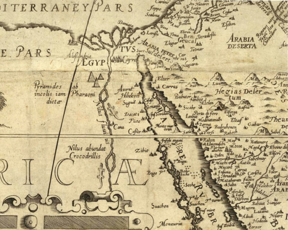
harbours in egypt
sieabo
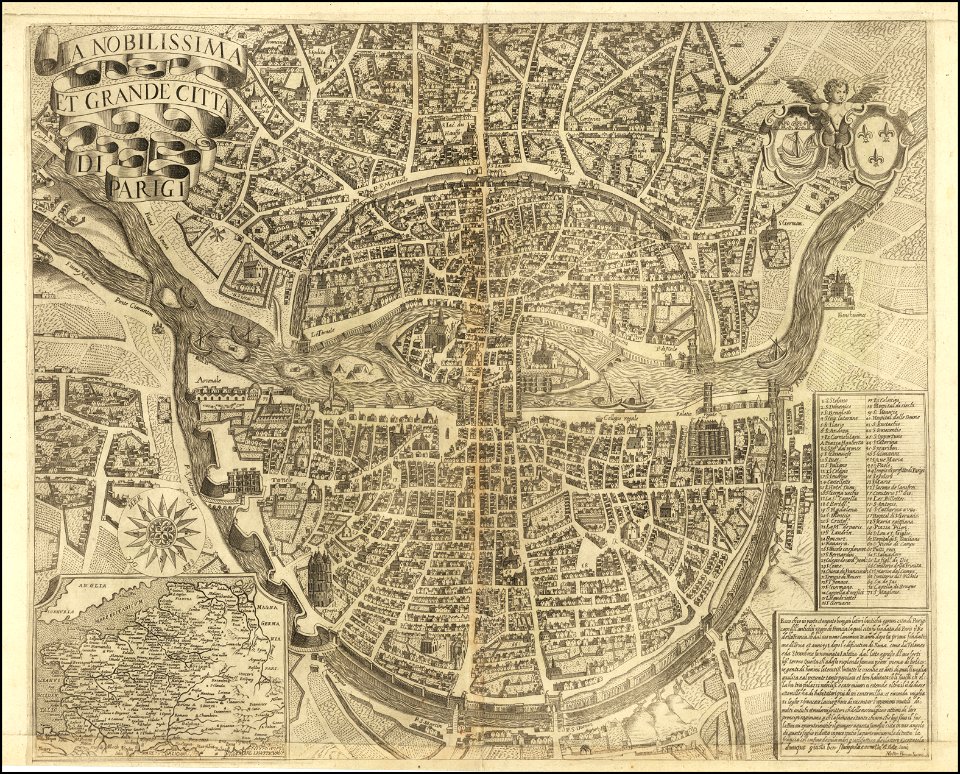
maps of paris from the barry lawrence ruderman antique maps inc.
la nobilissima et grande città di parigi by matteo florimi
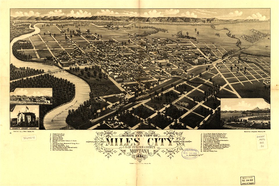
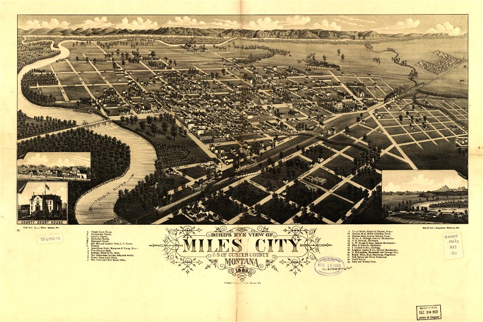
miles city
montana
maps in the library of congress
albert ruger
maps and topographical views by joris hoefnagel
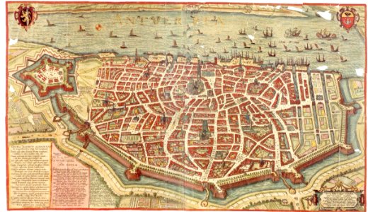
maps of antwerp
maps made in the 17th century
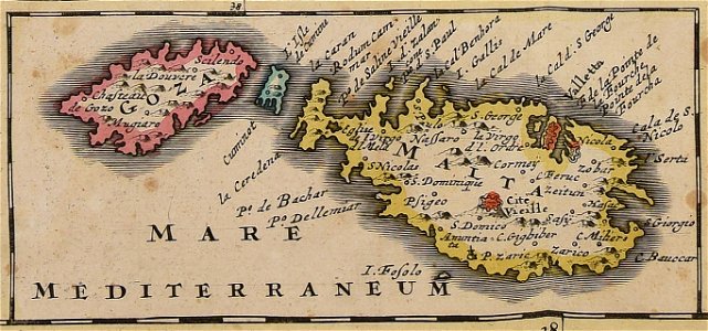
old maps of malta
maps made in the 17th century
maps by pieter schenk (i)
old maps of new york (state)
new york
olomouc fortress
1644
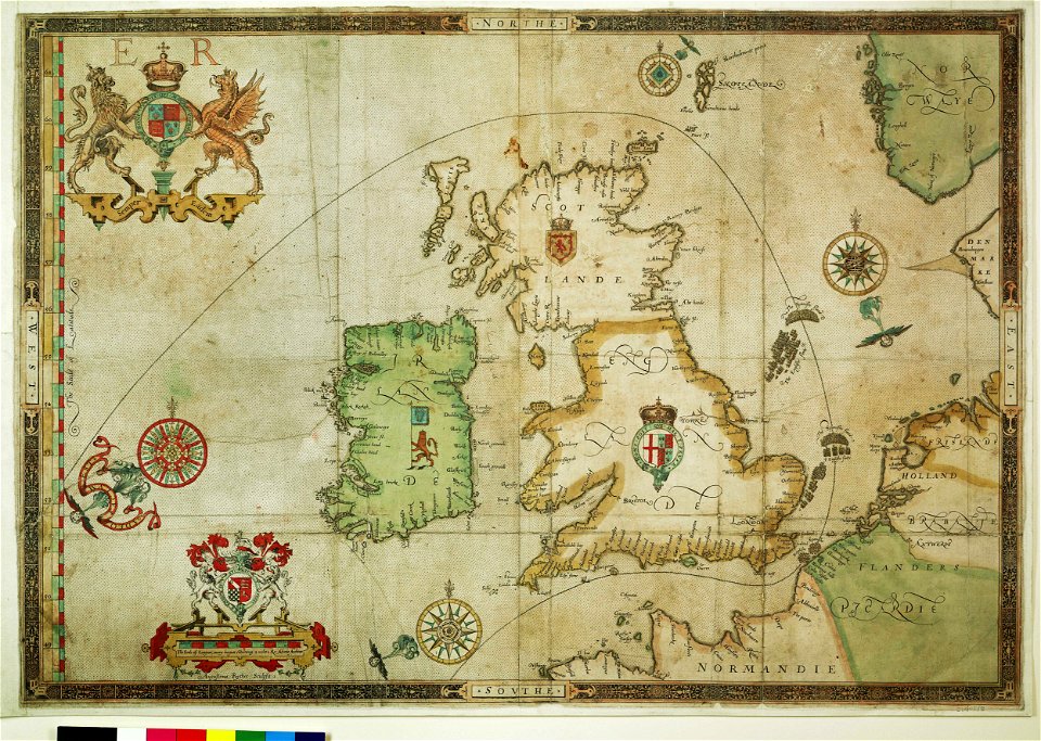
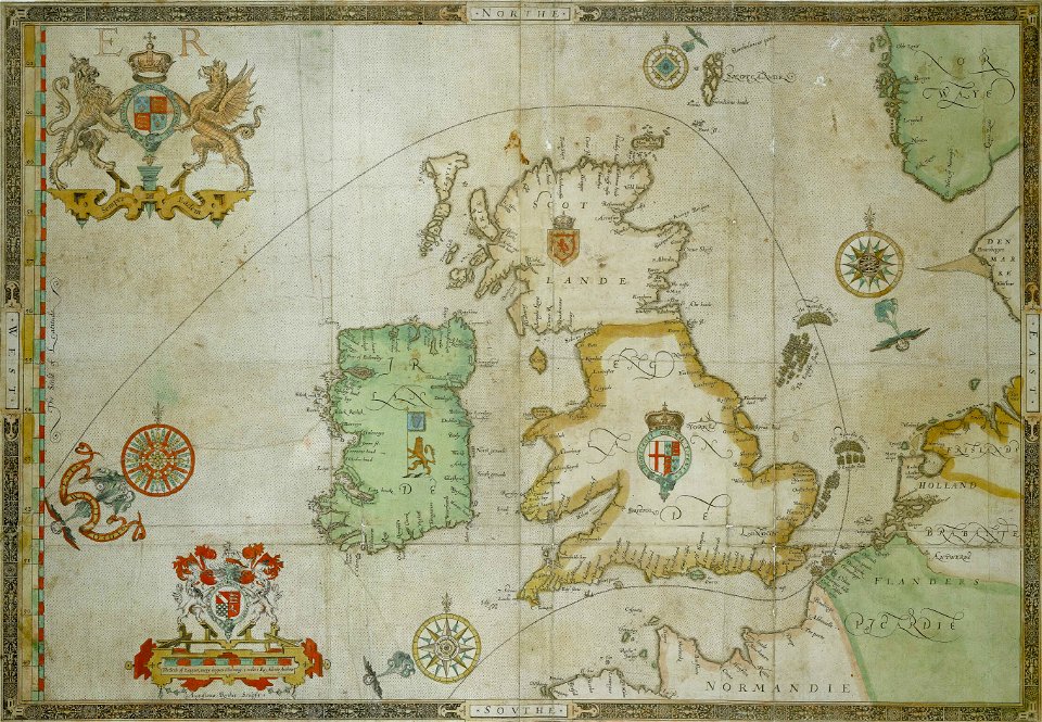
the track of the armada around britain and ireland
charts and maps of the royal museums greenwich
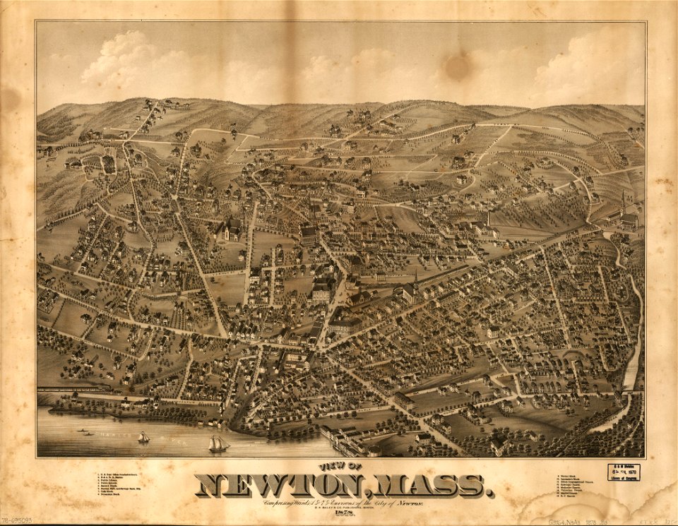
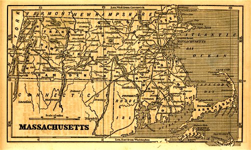
massachusetts
o. h. bailey
massachusetts
o. h. bailey
new york
windsor
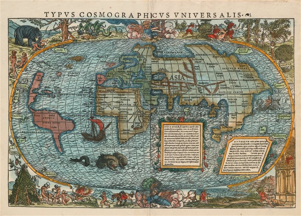
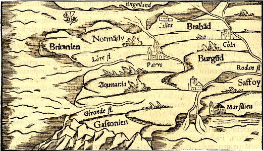
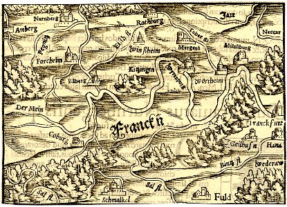
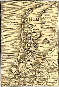
illustrations of cosmographia (münster)
latin-language maps
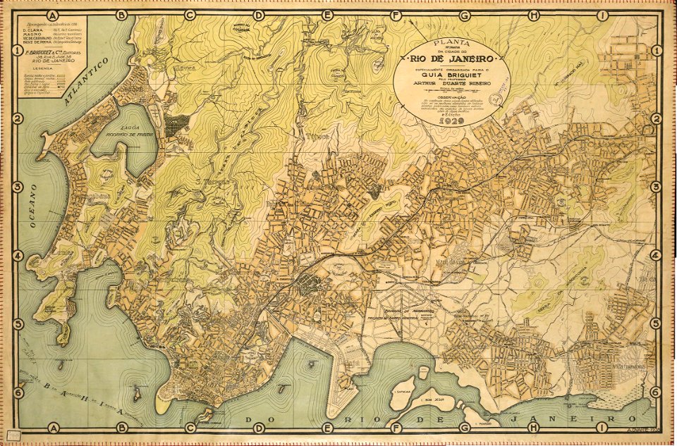
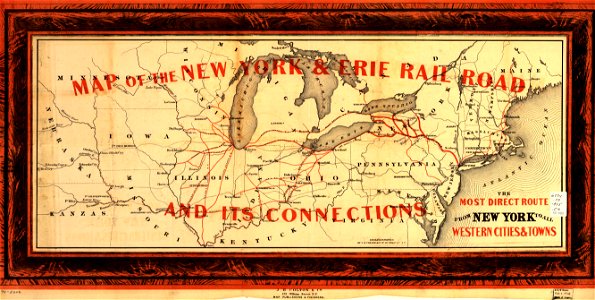
rail transport maps of brazil
20th-century maps of brazil
maps in the library of congress
1855 maps
maps in the library of congress
new york
files from the bodleian libraries
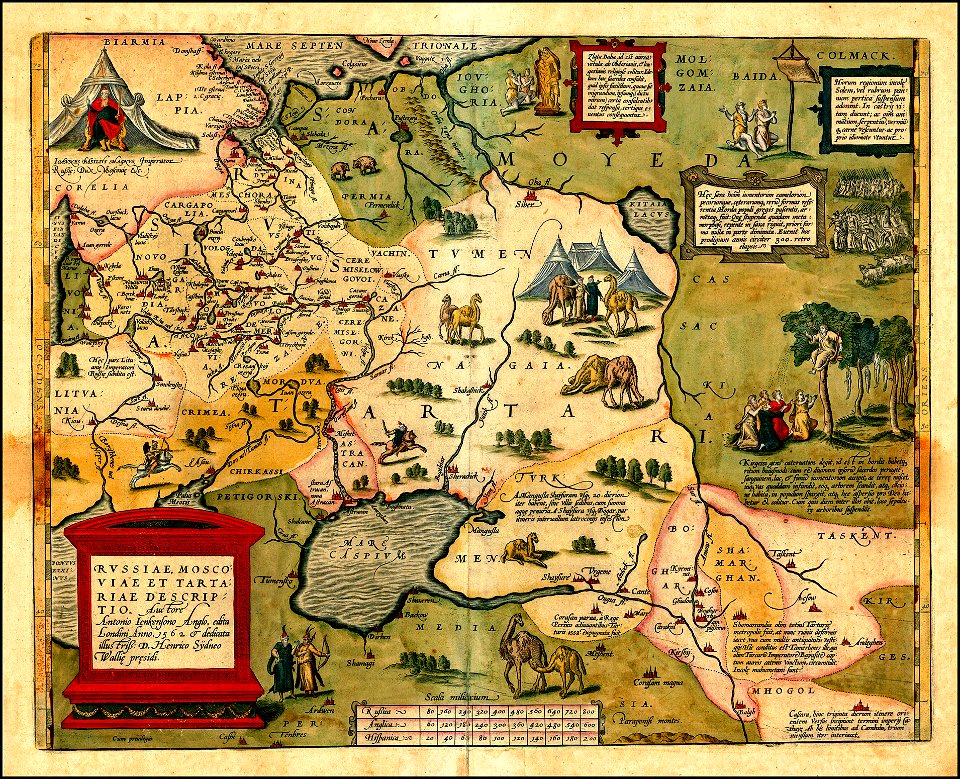
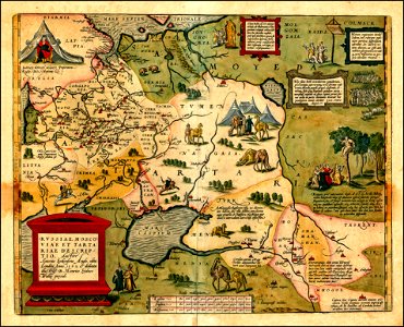
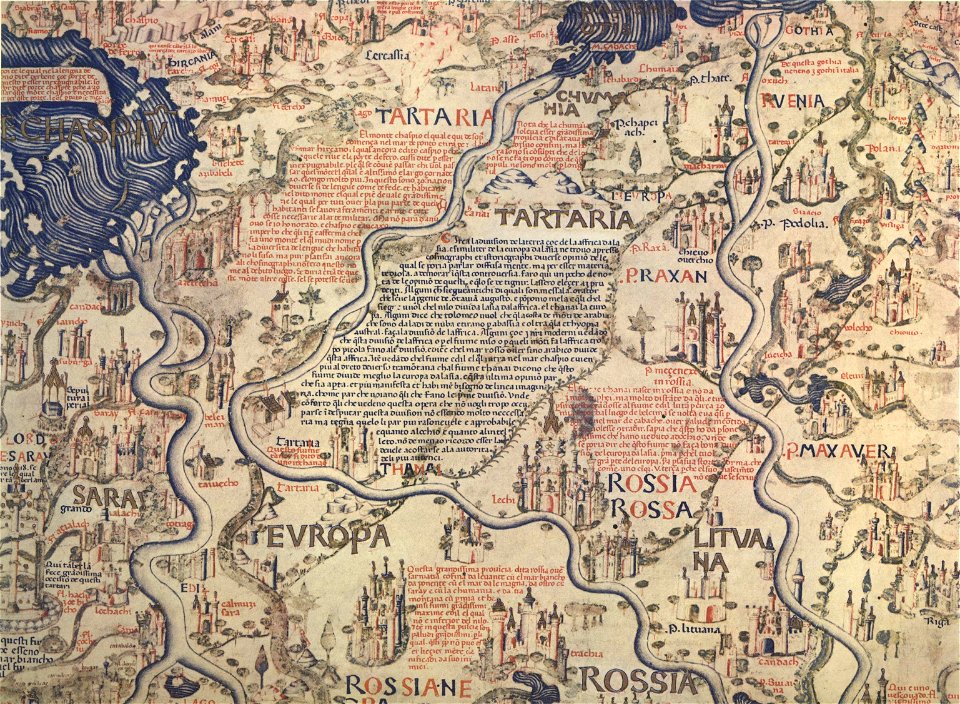
maps of tartary
maps in the library of congress
new york
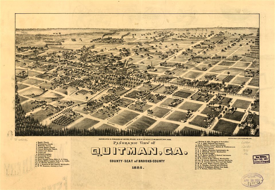
georgia
quitman
the track of the armada around britain and ireland
charts and maps of the royal museums greenwich
files from the bodleian libraries
maps of tartary
maps made in the 17th century
maps by nicolaes visscher i
travel
maps
old ships
maps
maps in the library of congress
new york
georgia
quitman
new york
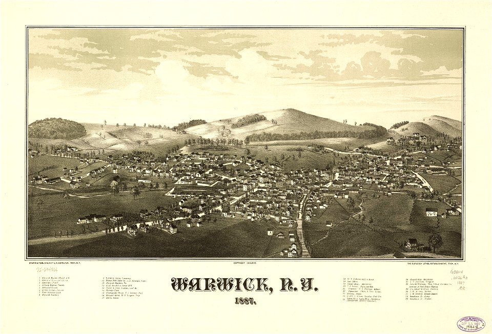
warwick
the track of the armada around britain and ireland
charts and maps of the royal museums greenwich
new york
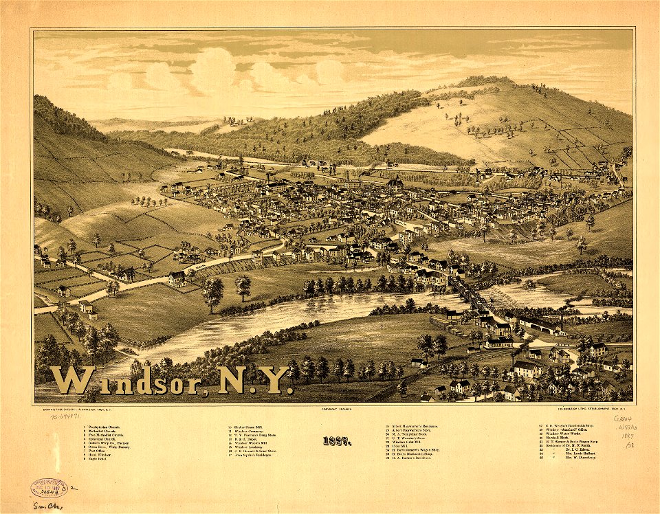
windsor
historisches museum basel
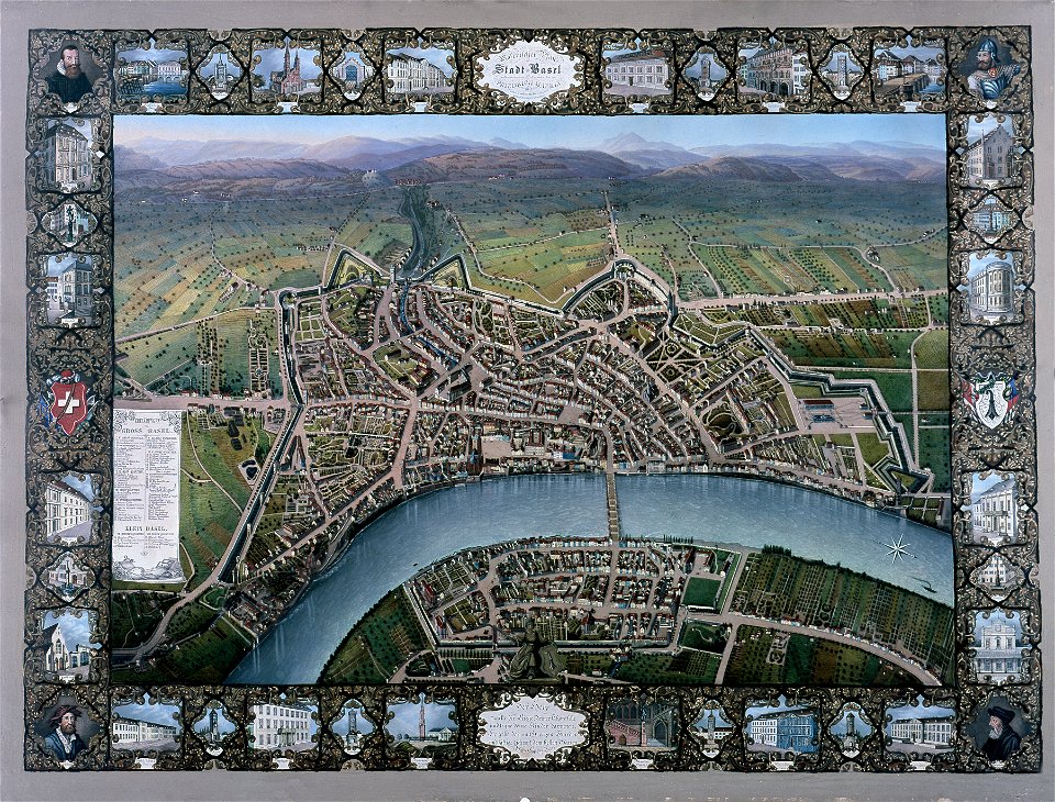
maps of basel
18th-century maps of indonesia
1744
battles and leaders of the civil war (1887)
battle of ball's bluff
maps made in the 17th century
maps by nicolaes visscher i
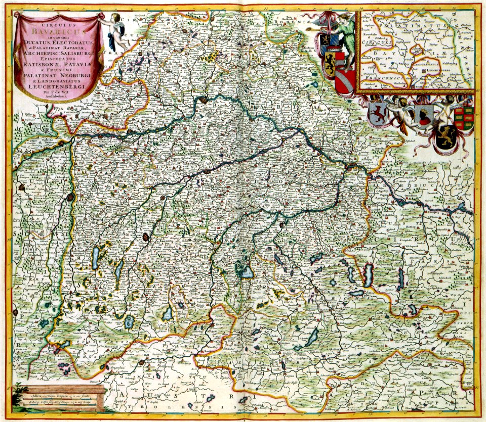
maps by frederick de wit
maps with cartouches
maps in the library of congress
1855 maps
maps in the library of congress
1855 maps
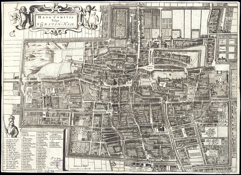
old maps of the hague
siege of leiden
a map of the british empire in america with the french and spanish settlements adjacent thereto
maps in the library of congress
a map of the british empire in america with the french and spanish settlements adjacent thereto
maps in the library of congress
a map of the british empire in america with the french and spanish settlements adjacent thereto
maps in the library of congress
maps of the french and indian war
1786 maps
a map of the british empire in america with the french and spanish settlements adjacent thereto
maps in the library of congress
a map of the british empire in america with the french and spanish settlements adjacent thereto
maps in the library of congress
maps in the library of congress
a. hoen & co.
a map of the british empire in america with the french and spanish settlements adjacent thereto
maps in the library of congress
johann baptist homann
latin-language maps
maps by frederick de wit
old maps of the hague
1760s etchings
1760 maps
maps in the library of congress
1867 maps
miles city
montana
maps in the library of congress
new york
old maps of greece
old maps of italy
a map of the british empire in america with the french and spanish settlements adjacent thereto
maps in the library of congress
a map of the british empire in america with the french and spanish settlements adjacent thereto
maps in the library of congress
a map of the british empire in america with the french and spanish settlements adjacent thereto
maps in the library of congress
a map of the british empire in america with the french and spanish settlements adjacent thereto
maps in the library of congress
charts and maps of the royal museums greenwich
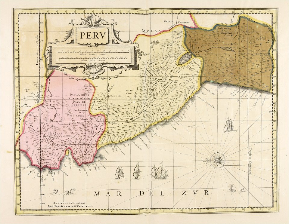
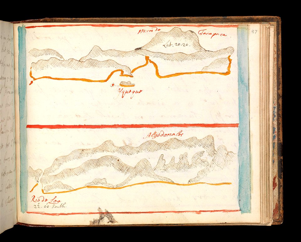
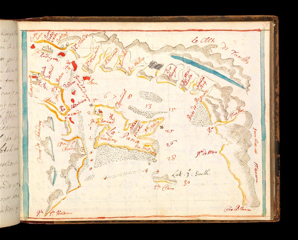
old maps of ecuador
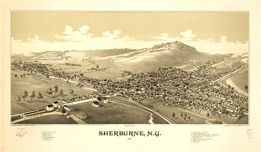
sherburne
new york
old maps of peru
gerard valck
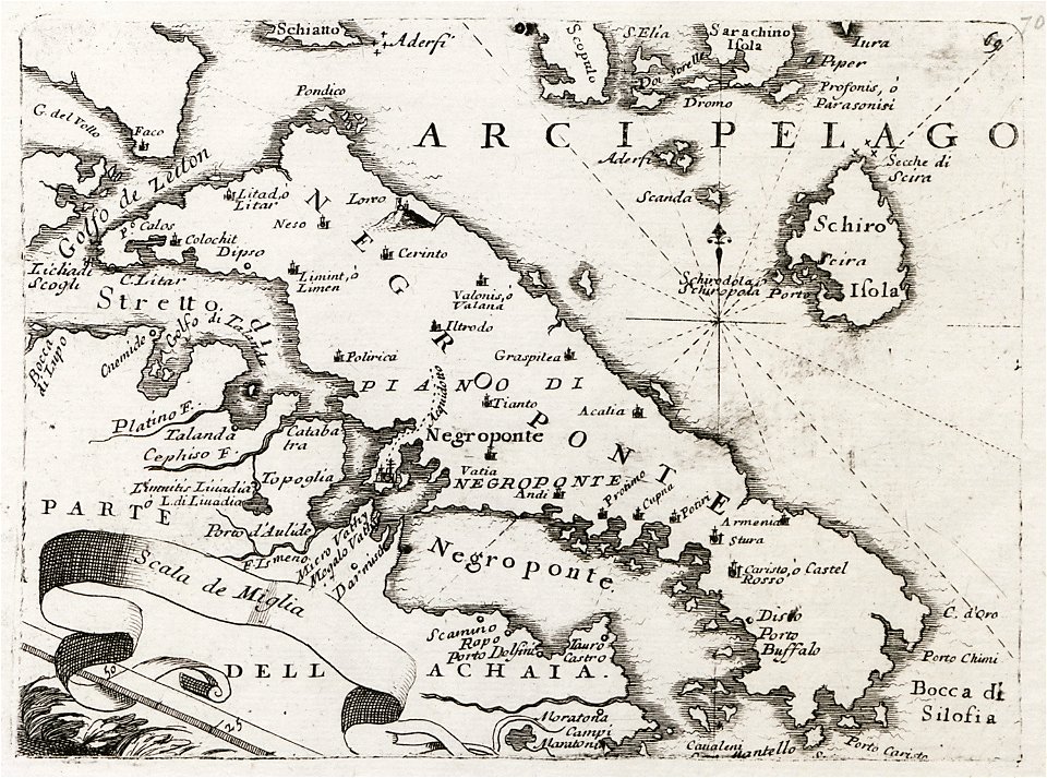
old maps of the peloponnese
maps by coronelli
mississippi
biloxi
fra mauro map
charts and maps of the royal museums greenwich
1682 maps
charts and maps of the royal museums greenwich
1682 maps
maps by jacob van deventer
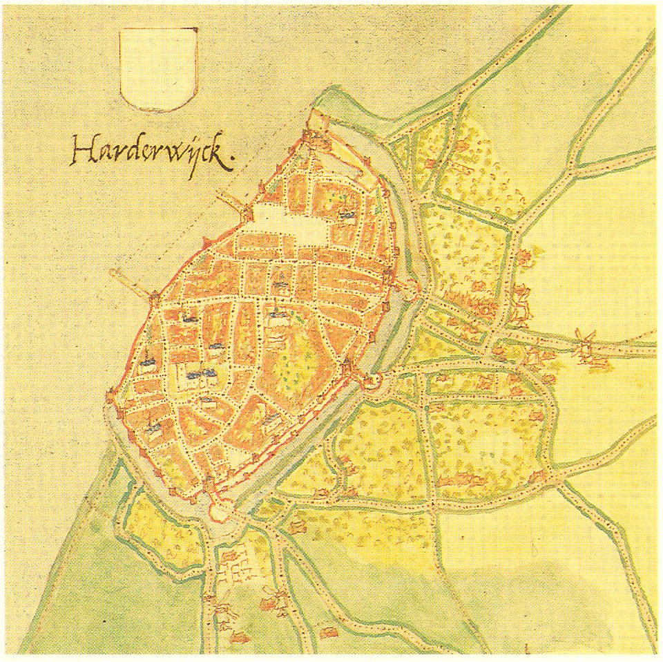
old maps of harderwijk
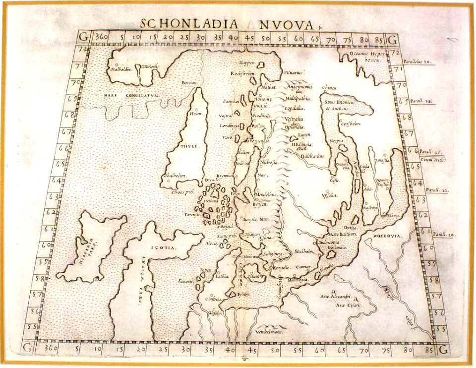
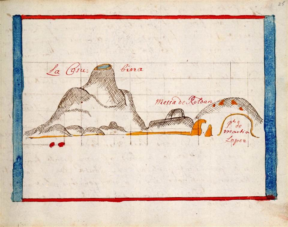
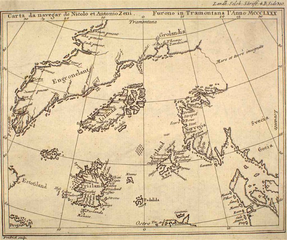
provided by landsbókasafn íslands
maps by giacomo gastaldi
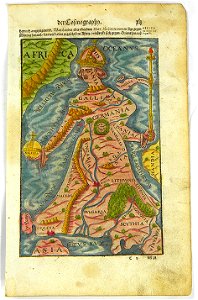
16th-century maps of the world
maps by sebastian münster
1855 maps of massachusetts
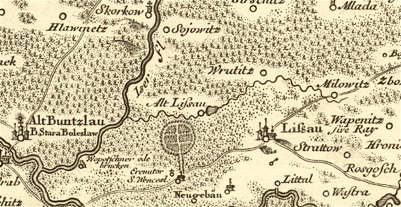
details of müller's map of bohemia
maps of stará lysá
charts and maps of the royal museums greenwich
1682 maps
maps in the british museum
maps in the british museum
maps in the british museum
maps in the british museum
maps in the british museum
maps in the british museum
charts and maps of the royal museums greenwich
1682 maps
charts and maps of the royal museums greenwich
1682 maps
charts and maps of the royal museums greenwich
1682 maps
old maps of oudenaarde
flandria illustrata
details of müller's map of bohemia
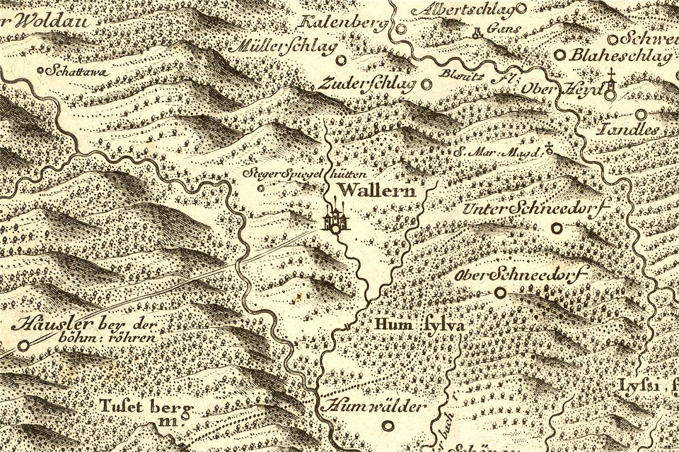
maps of volary
charts and maps of the royal museums greenwich
1682 maps
maps by sebastian münster
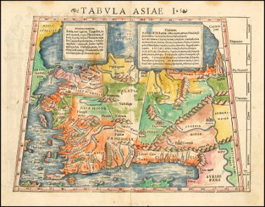
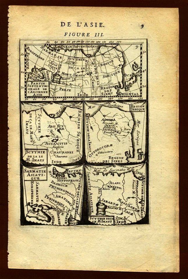
ptolemy's 1st asian map
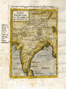
17th-century maps of india
description de l'universe
maps made in the 18th century
1793
charts and maps of the royal museums greenwich
1682 maps
charts and maps of the royal museums greenwich
1682 maps
charts and maps of the royal museums greenwich
1682 maps
maps in the library of congress
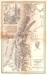
1993 maps
maps of israel
józsef farkas
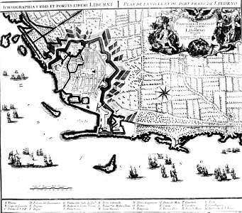
old maps of livorno
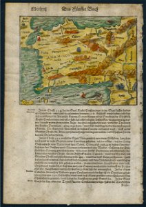
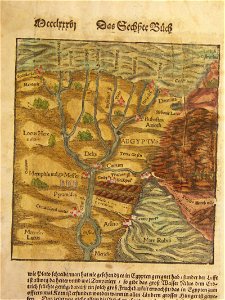
cosmographia (1588) by sebastian münster
old maps of asia
description de l'universe
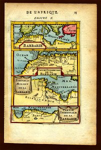
1683 maps of africa
illustrations of cosmographia (münster)
1580s maps of egypt
description de l'universe
old maps of asia
old maps of southeast asia
description de l'universe
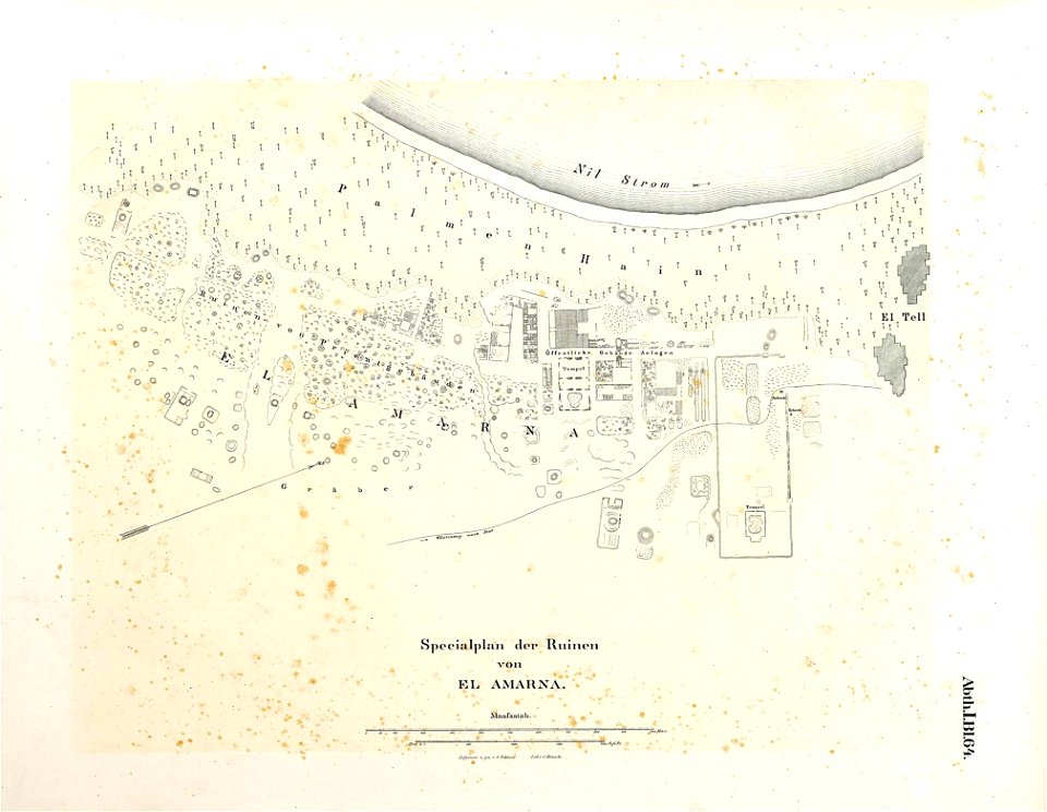
lepsius-projekt - maps
maps of akhetaten
7601 - 7700 of 376,713
Next page
/ 3768